Gravel Route through Bad Essen and Surrounding Area
A gravel cycling route starting from Bad Essen
Discover the picturesque Burg Wittlage and other scenic highlights along this gravel route.
Map
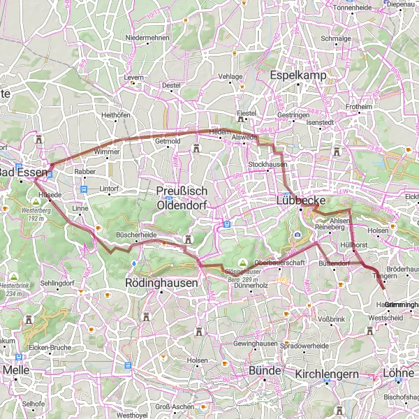
This gravel route takes you through Bad Essen and its surrounding area, showcasing the region's beautiful landscapes and historical sites. With a total ascent of 626 meters and a distance of 65 kilometers, it offers a moderate challenge suitable for adventurous cyclists. The highlights of the route include Burg Wittlage, an impressive medieval castle, and Maschberg, offering stunning views over the countryside.
gravel
65 km
626 m
Tough
Route profile
Highlights on the route
0 km
0 km
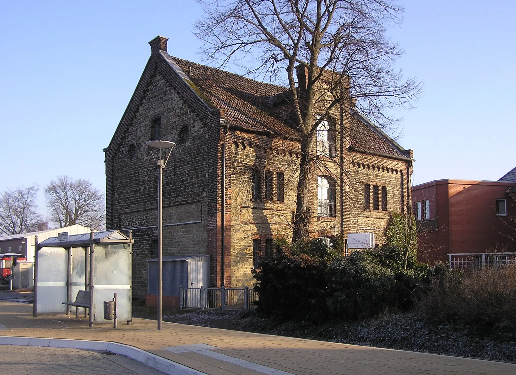
Start: Eielstädt Village centerBad Essen: Nature meets cycling in Bad Essen
Bad Essen, located in the Weser-Ems region of Germany, is a haven for cycling enthusiasts. The locality offers a mix of flat and gently rolling terrain, making it suitable for all skill levels. Cyclists can enjoy exploring the picturesque countryside, with its charming villages and well-maintained bike paths. One of the well-known cycling spots nearby is the Dörenberg climb, which offers a challenging ascent and rewarding views at the top. With its cyclist-friendly infrastructure and scenic beauty, Bad Essen ranks at 4 in terms of cycling suitability.1 km
1 km
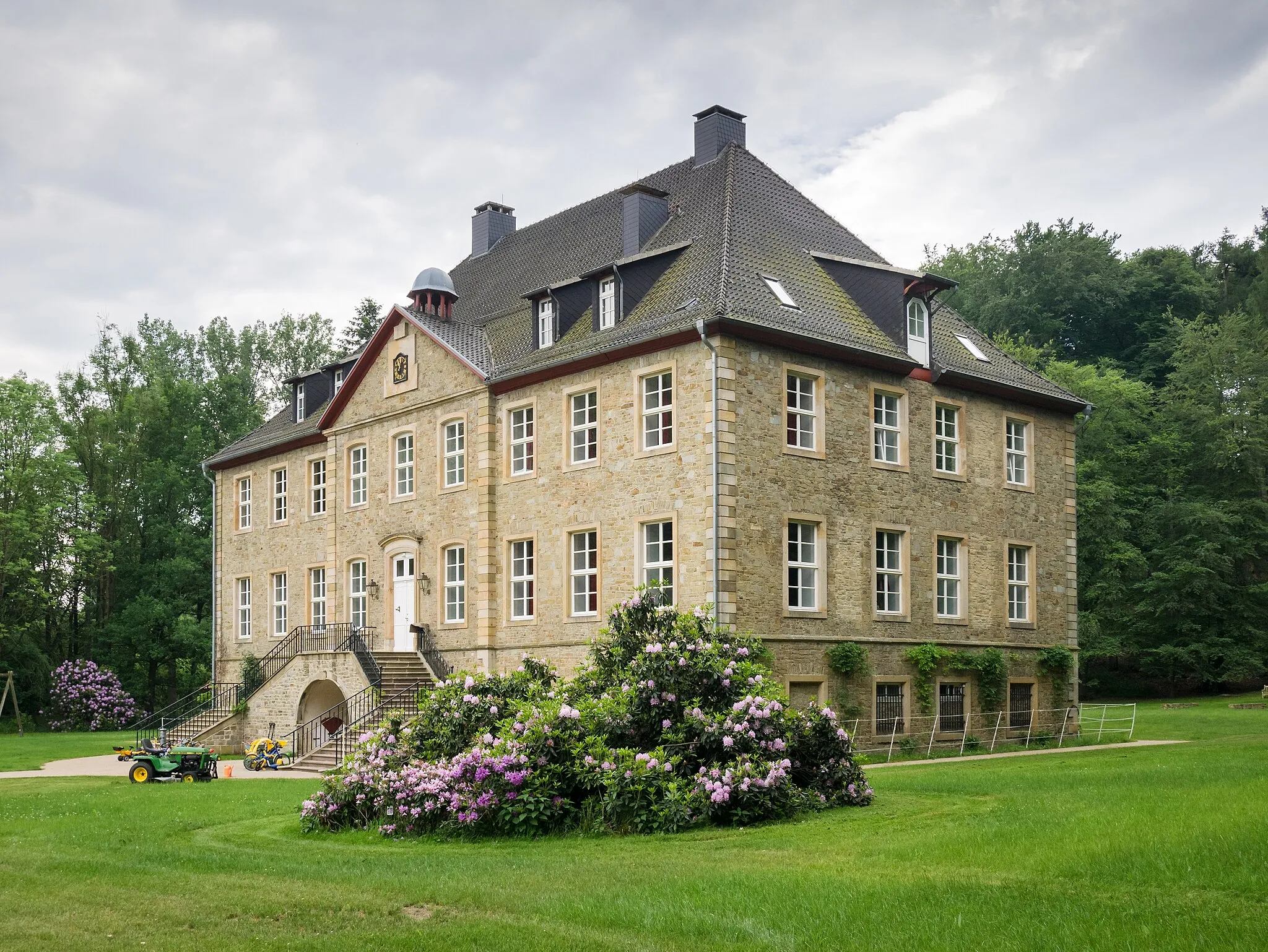
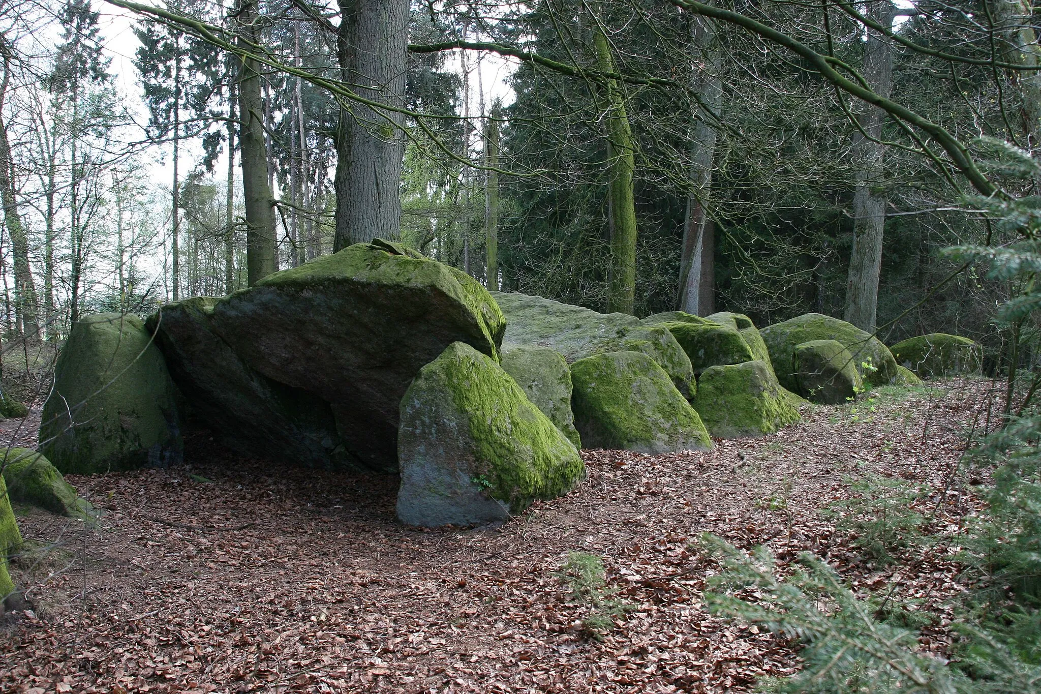
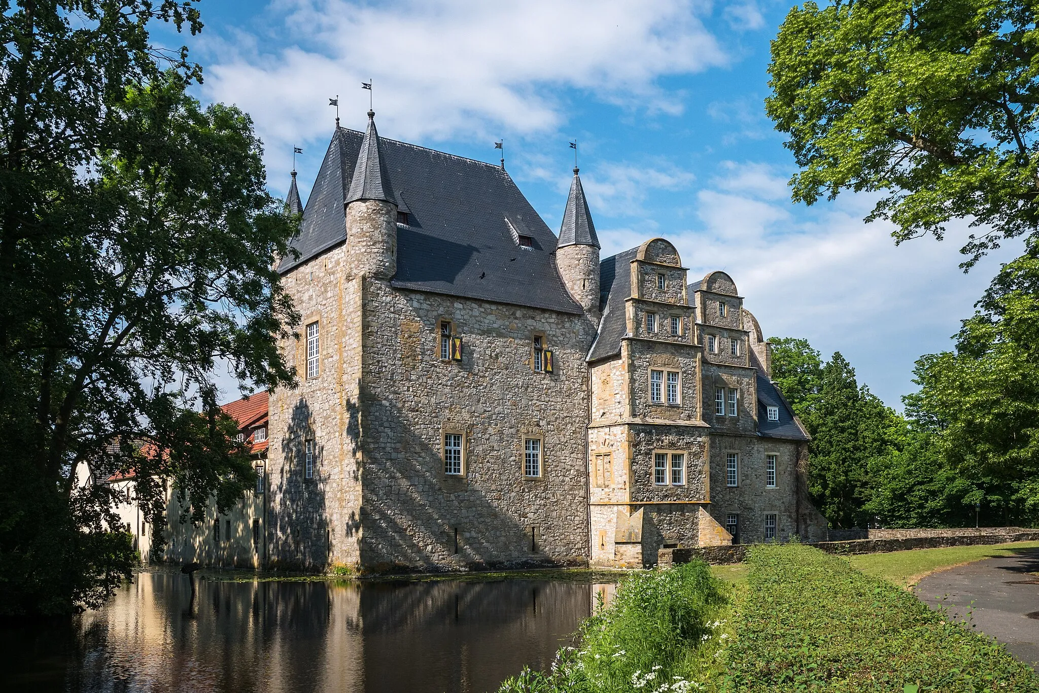
Burg WittlageCastleVisit Burg Wittlage, a medieval castle with a rich history.
15 km
15 km
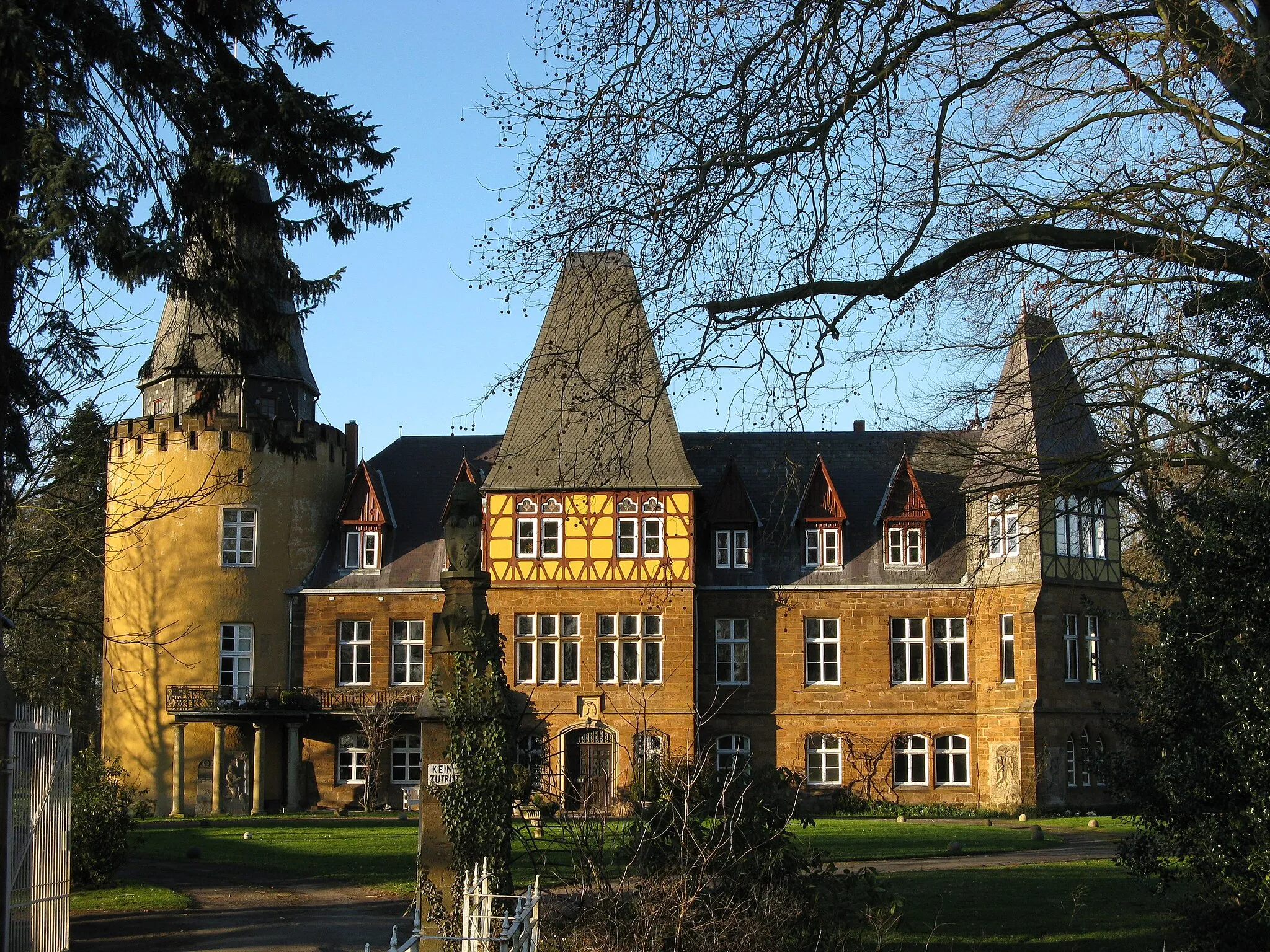
AlswedeVillageAlswede is a charming village known for its traditional half-timbered houses.
22 km
22 km
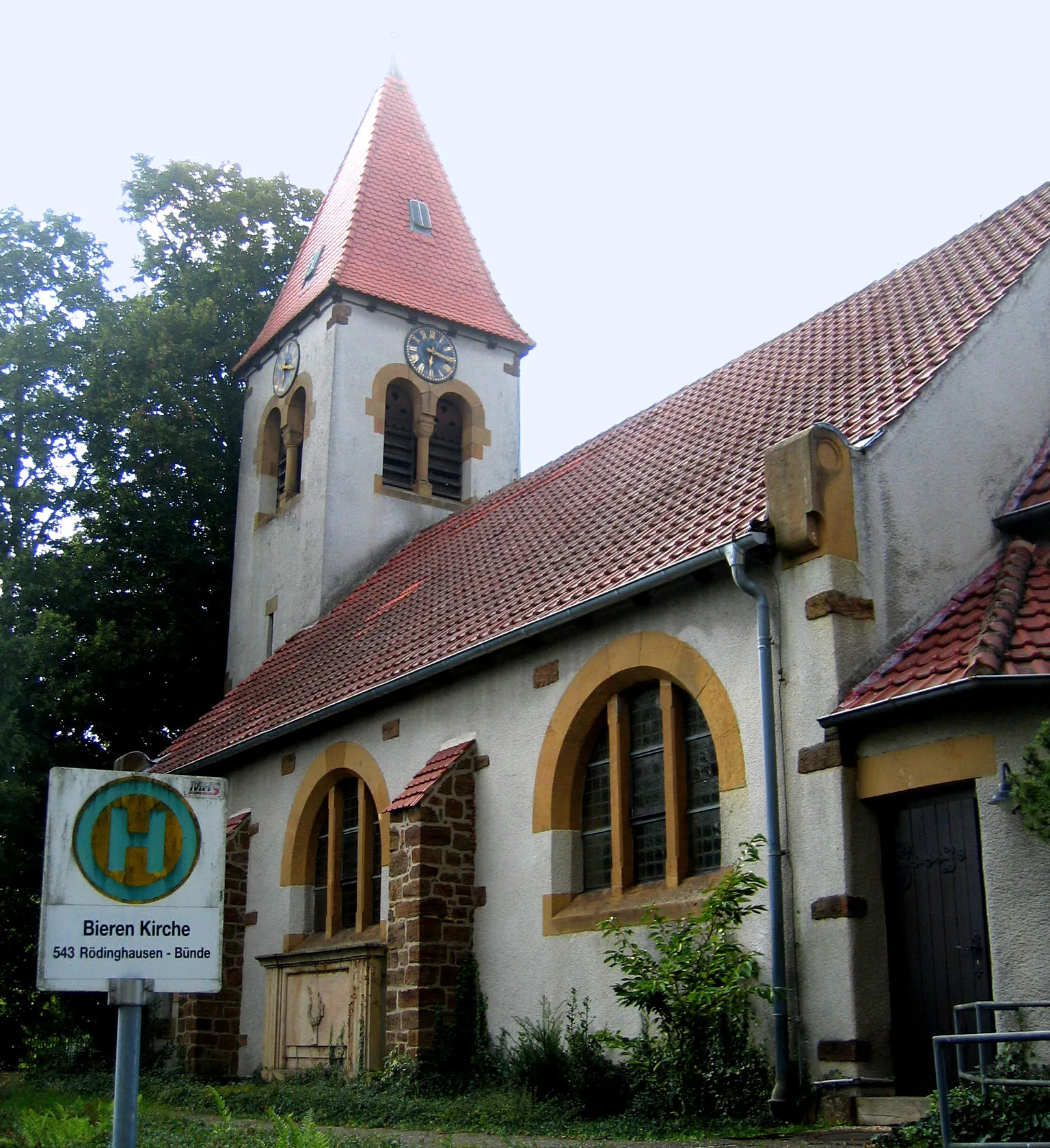
LübbeckeTownExplore Lübbecke, a vibrant town with a charming old town center.
25 km
25 km
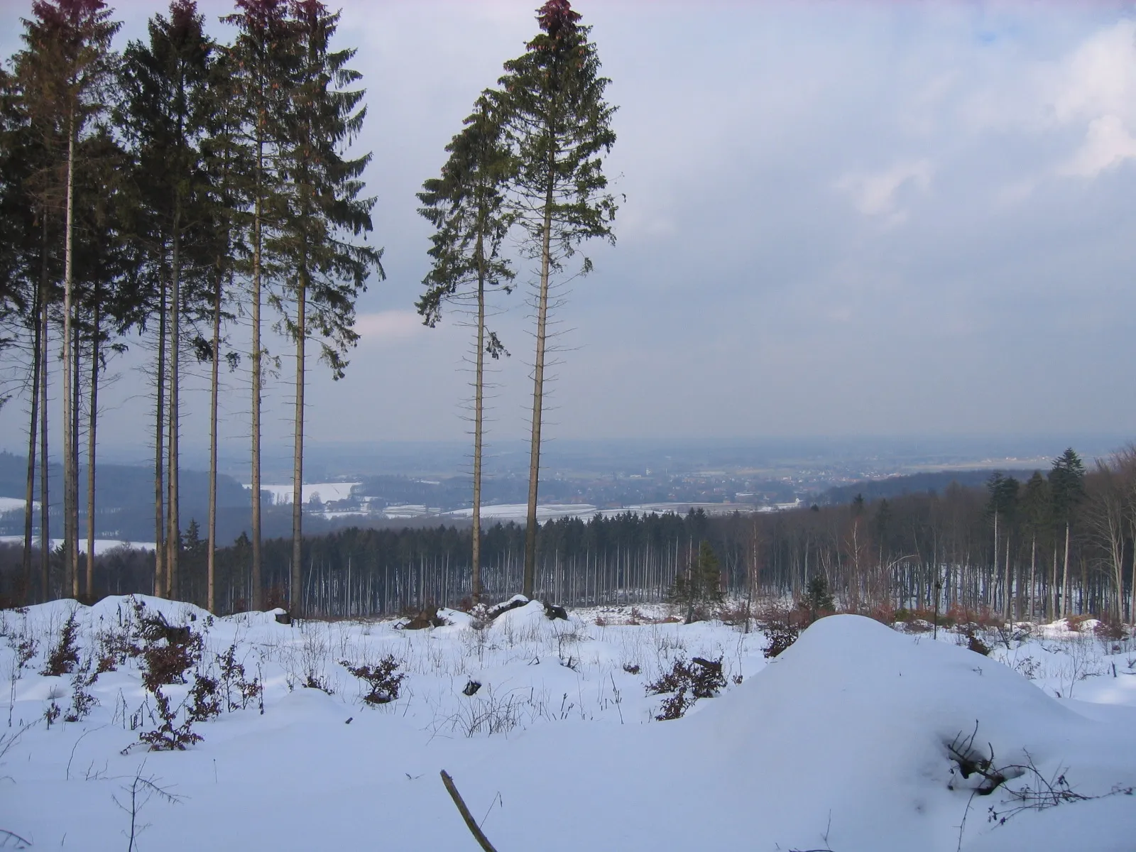
Heidbrink320 mPeakHeidbrink offers amazing panoramic views over the surrounding landscapes.
30 km
30 km
HüllhorstVillageHüllhorst is a small town surrounded by picturesque countryside.
45 km
45 km
Babilonie255 mPeakBabilonie is a popular natural swimming lake where you can cool off during the summer months.
51 km
51 km
Maschberg190 mPeakExperience the tranquility of Maschberg, a hill with sweeping views over the Weser-Ems region.
65 km
65 km
Finish: Eielstädt Village centerBad Essen: Nature meets cycling in Bad Essen
Cycling routes from Bad Essen:
Bad Essen Gravel Loop Windmills and Valleys Road Loop Scenic Road Cycling Route near Bad Essen Challenging Road Cycling Route showing the Best of Bad Essen Rolling Hills Gravel Loop Epic Road Cycling Route through Scenic Landscapes near Bad Essen Gravel Route through Bad Essen and Surrounding Area Melle Bay and Hill Challenge Hünnefeld Castle Gravel Adventure Gravel Route through Charming Landscapes near Bad Essen The Gravel Adventure
Cycling routes nearby: