The Hillside Loop
A road cycling route starting from Erythres
Experience the stunning views and challenging climbs of Erythres.
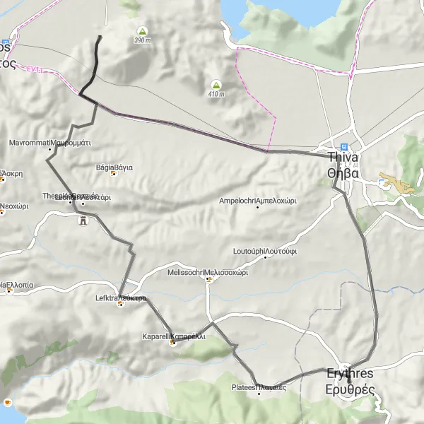
Map
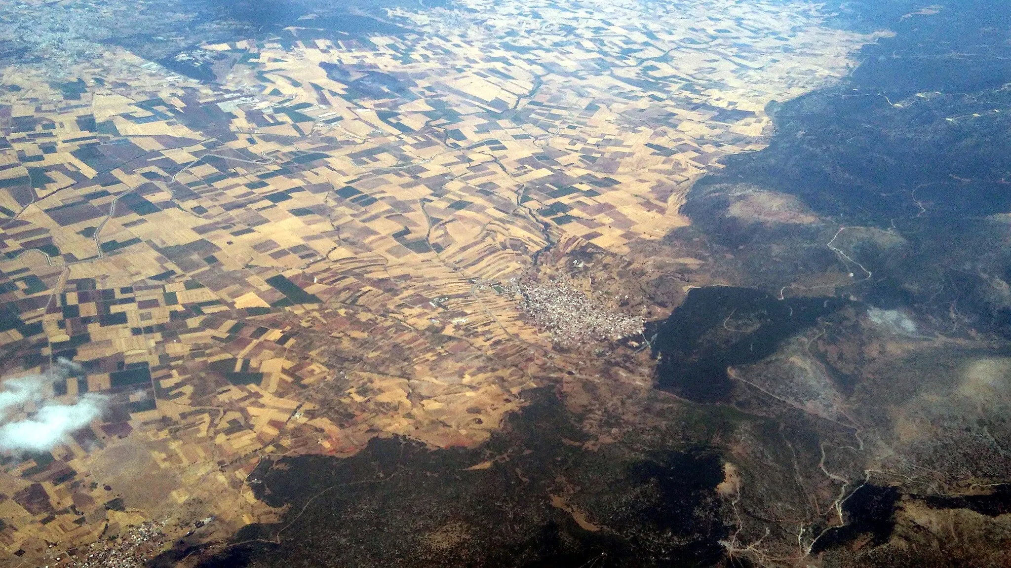
Embark on a scenic journey through the hills near Erythres, Greece. This route offers breathtaking views at every turn, with challenging climbs that will test even the most experienced cyclists. As you ride through the picturesque countryside, you'll pass by charming villages and historic landmarks. Whether you're a road or gravel cyclist, this route promises an unforgettable adventure.
road
67 km
755 m
Tough
Route profile
Highlights on the route
0 km
0 km
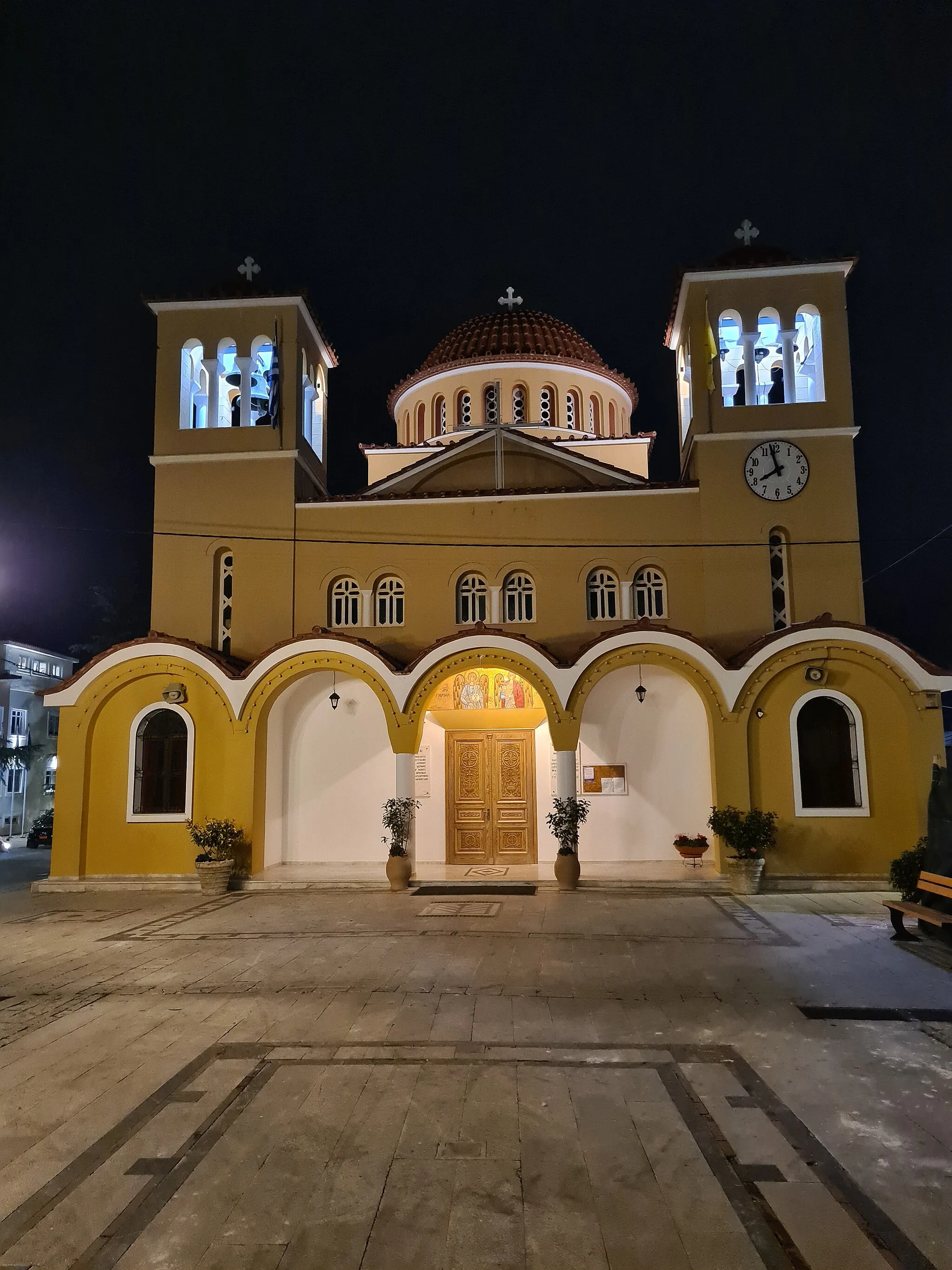
Start: Ερυθρές City centerErythrés: Cycling Paradise near Attiki
Erythrés is a locality situated in the Attiki region of Greece. From the perspective of a road and gravel cyclist, Erythrés offers a mix of scenic coastal routes and challenging climbs in the nearby mountains. Cyclists can enjoy breathtaking views of the Aegean Sea and explore the traditional Greek villages in the area. One of the notable cycling spots near Erythrés is Mount Parnitha, a legendary climb that has been tackled by professionals in various cycling races. With its stunning landscapes and cycling opportunities, Erythrés is a fantastic destination for cyclists seeking both coastal and mountainous experiences.8 km
8 km
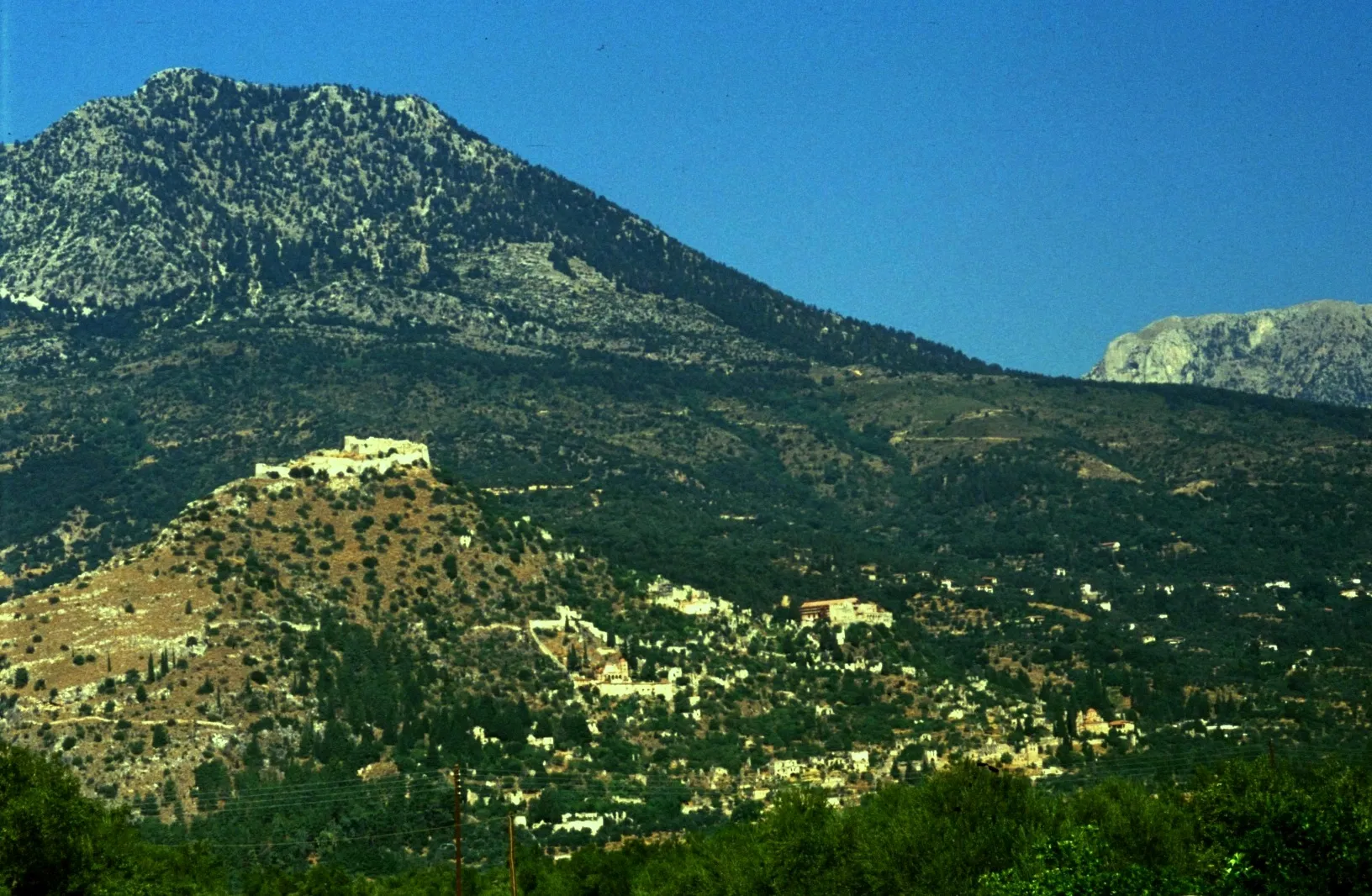
Κοτρώνες385 mPeakLocated at 8 km on the route, Kotrones is a quaint village known for its traditional architecture and stunning views.
12 km
12 km
ΚαπαρέλλιVillageAt 12 km, you'll come across Kaparelli, a historic monastery surrounded by lush greenery.
23 km
23 km
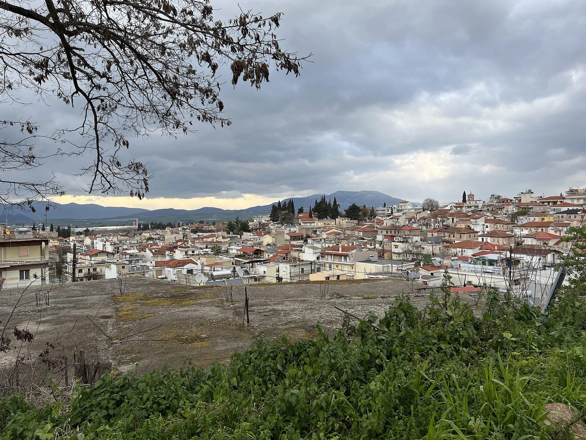
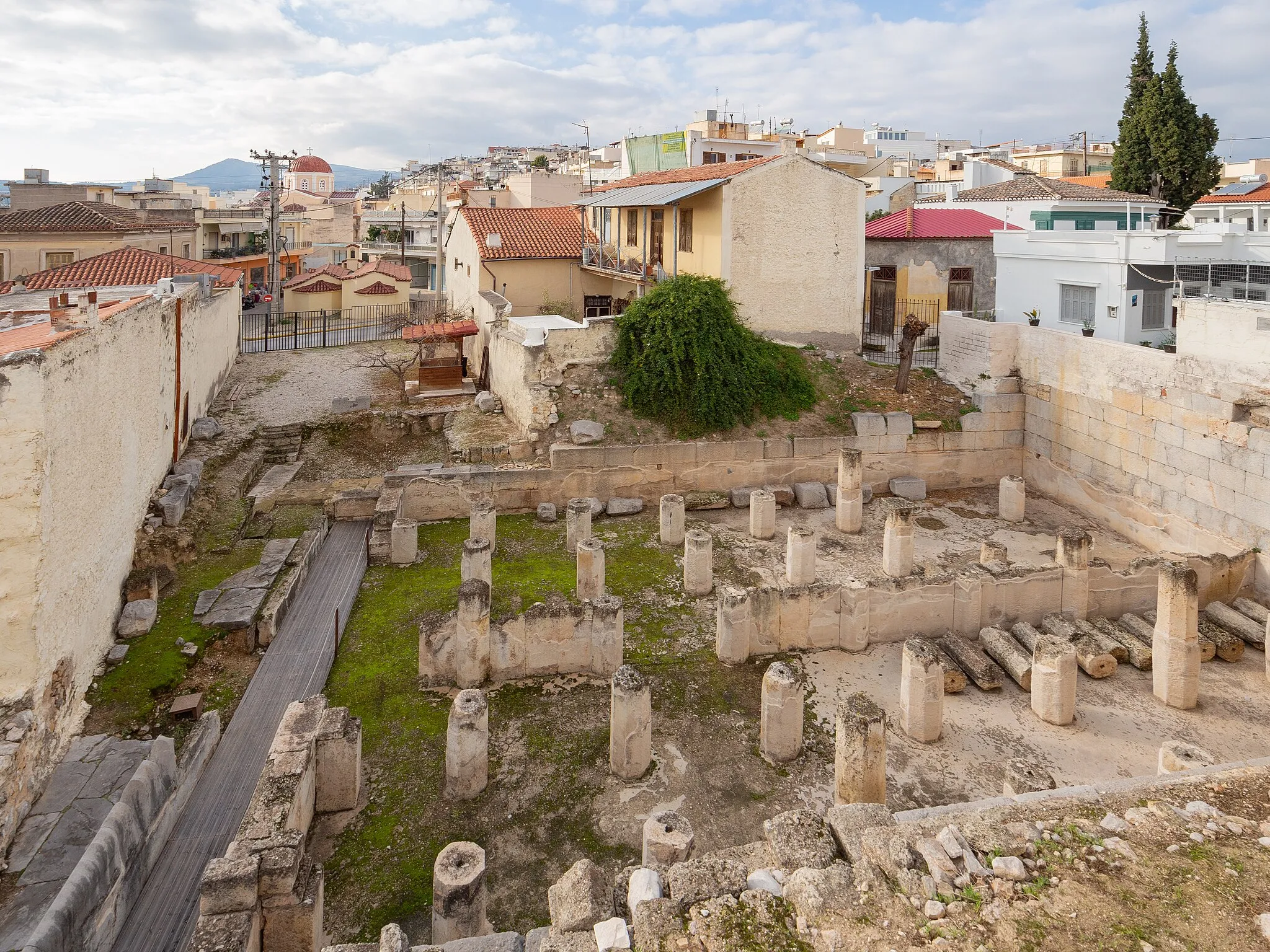
ΘεσπιέςVillageThespies, located 23 km into the route, is steeped in history and known for its ancient archaeological site.
54 km
54 km
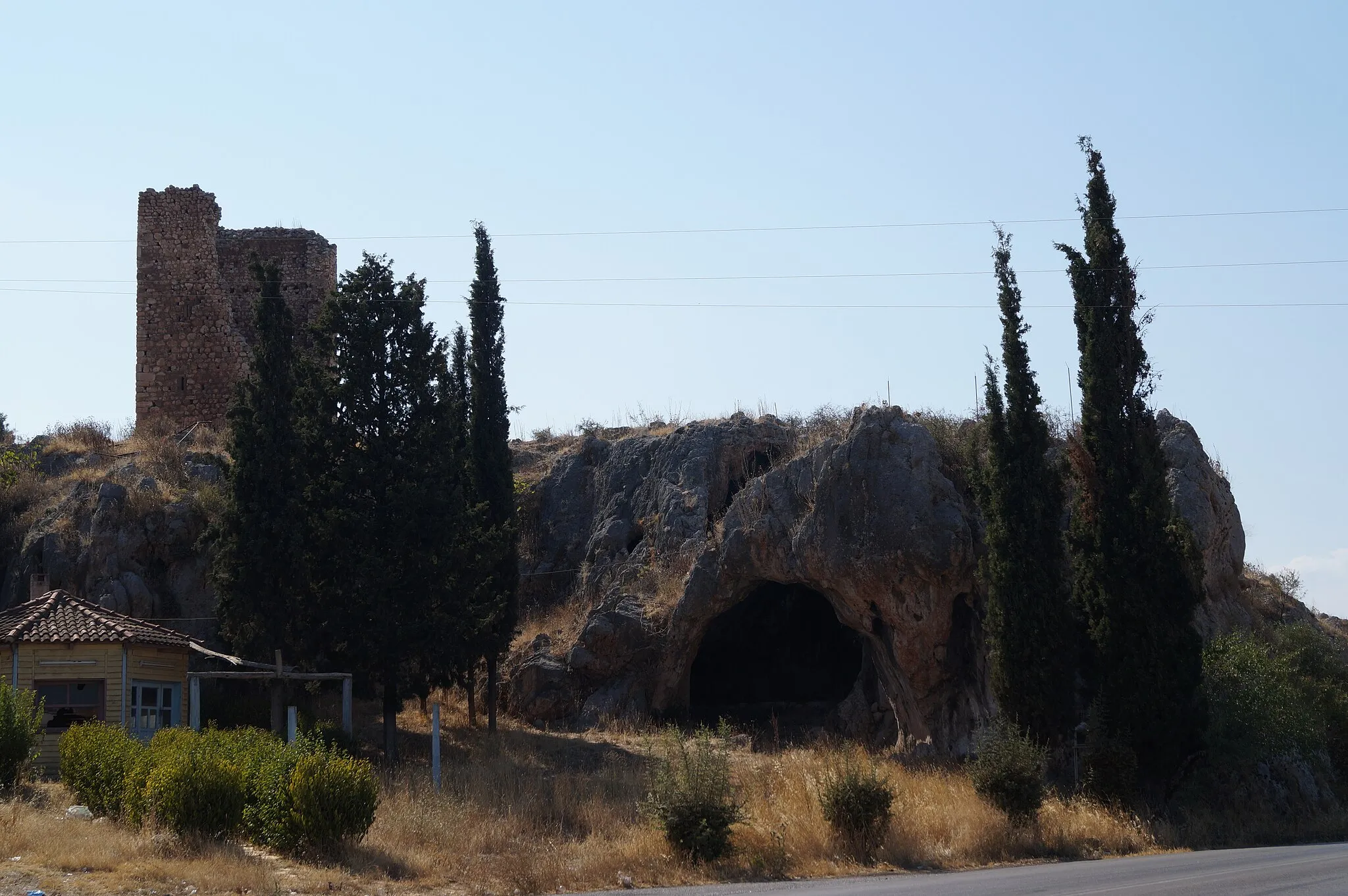
Fountain of DirkeCastle RuinsAt 54 km, you'll pass by the Fountain of Dirke, a famous landmark in Greek mythology.
67 km
67 km
ErythresTownAs you reach the end of the route at 67 km, take a moment to explore the charming town of Erythres.
67 km
67 km
Finish: Ερυθρές City centerErythrés: Cycling Paradise near Attiki
Cycling routes nearby: