Mountain Challenge
A road cycling route starting from Igoumenitsa
Embark on a thrilling mountain cycling experience with extreme elevation gain
Map
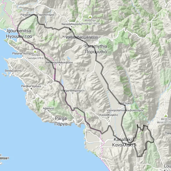
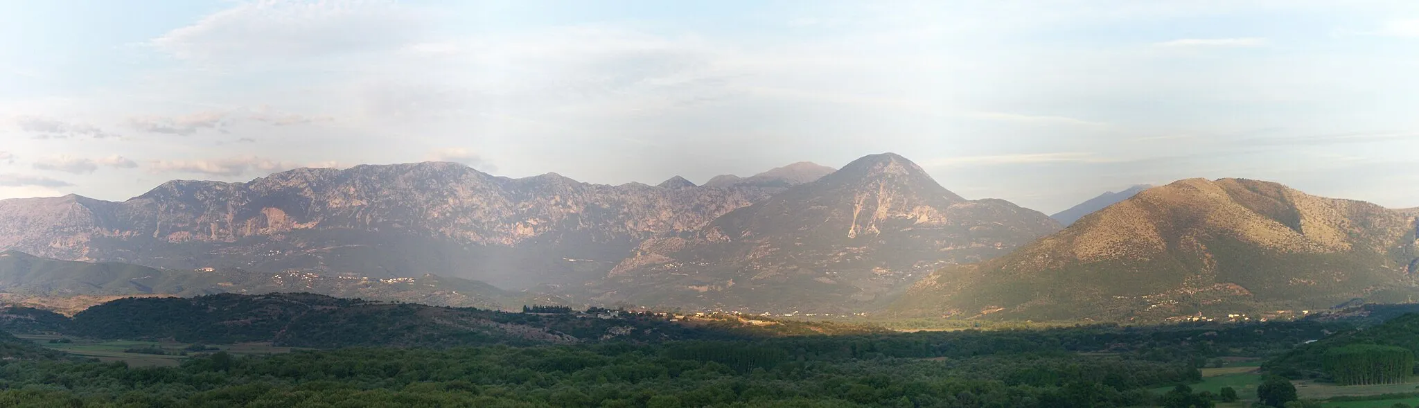
Prepare yourself for an exhilarating ride through the mountainous terrain near Igoumenítsa. This challenging route offers unparalleled views and takes you to the highest peaks and most dramatic landscapes in the area. With highlights like Παραμυθιά, Goulgara, and Γραικοχώρι, this trail is not for the faint-hearted. Brace yourself for demanding climbs and intense descents as you navigate through rugged paths and steep gradients. This route is perfect for experienced cyclists seeking a true test of strength, endurance, and determination.
road
158 km
2623 m
Savage
Route profile
Highlights on the route
0 km
0 km
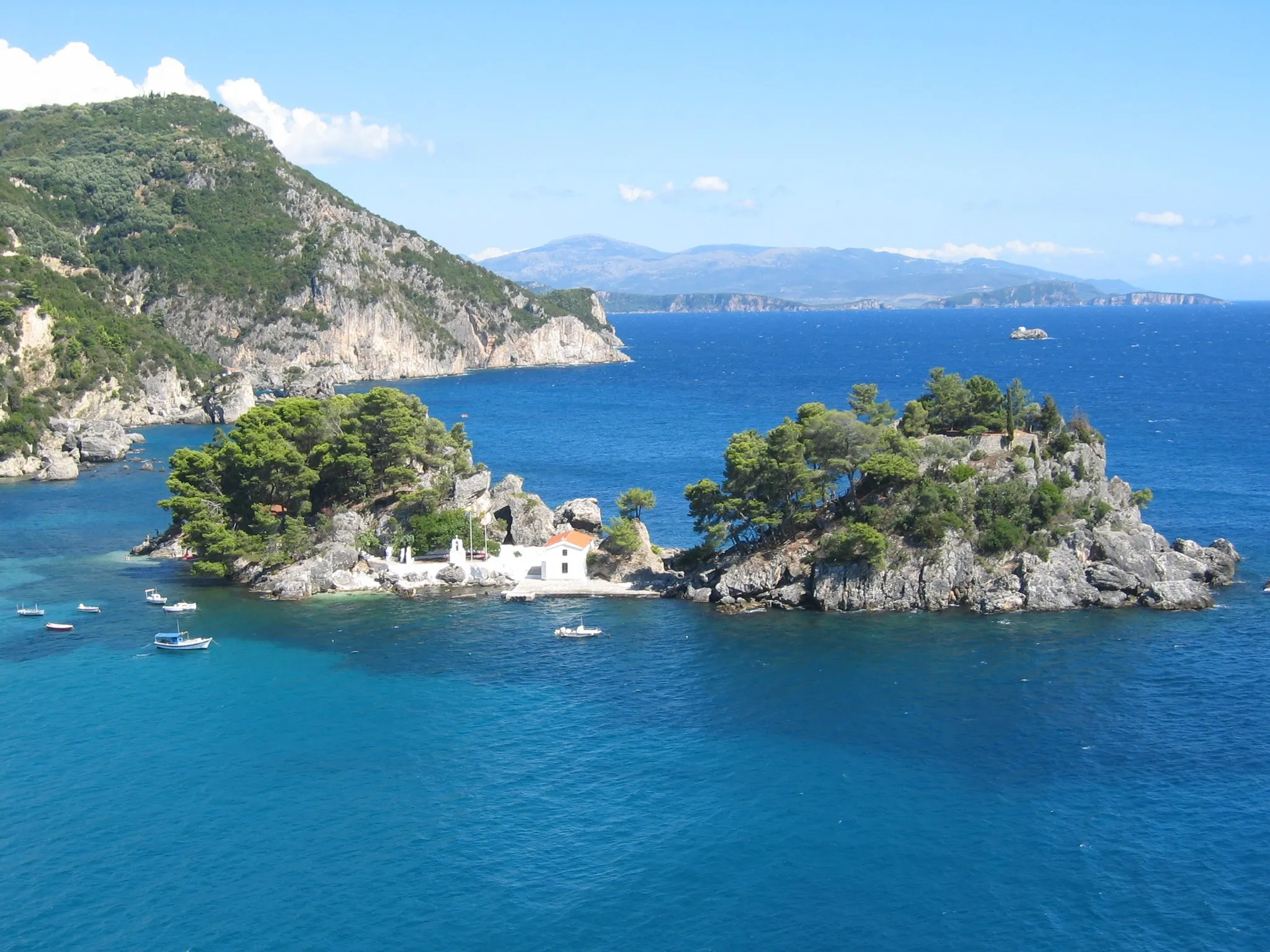
Start: Ηγουμενίτσα City centerIgoumenítsa: Cycling through the diverse landscapes of Igoumenítsa with access to famous routes
Igoumenítsa is a locality in Ipeiros, Greece. From a cyclist's perspective, it offers a mix of flat and hilly terrains, providing varied cycling options. The roads are generally in good condition, suitable for road and gravel cycling. Igoumenítsa is located near the famous Acheron River, which offers a beautiful cycling route for enthusiasts. The locality also has a few cycling-friendly establishments, making it a suitable destination for cyclists. Overall, Igoumenítsa offers a pleasant cycling experience with its diverse landscapes and access to well-known cycling routes.0 km
0 km
IgoumenitsaTownKick off your mountain adventure in Igoumenitsa, savoring its coastal allure before venturing into the mountainous landscapes.
9 km
9 km
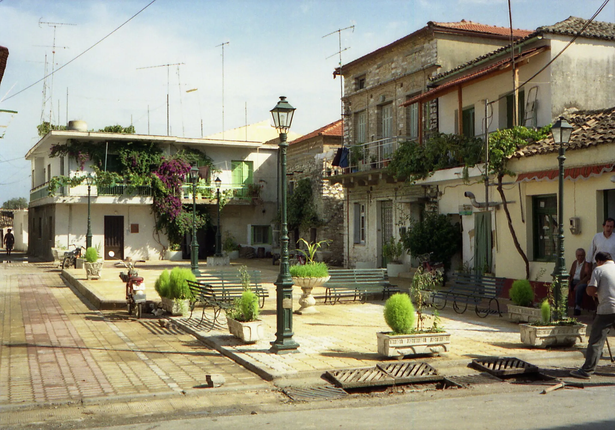
ΠαραπόταμοςVillageΠαραμυθιά, nestled amidst the mountains, beckons with its astonishing views and captivating atmosphere, rewarding adventurers who dare to conquer its heights.
33 km
33 km
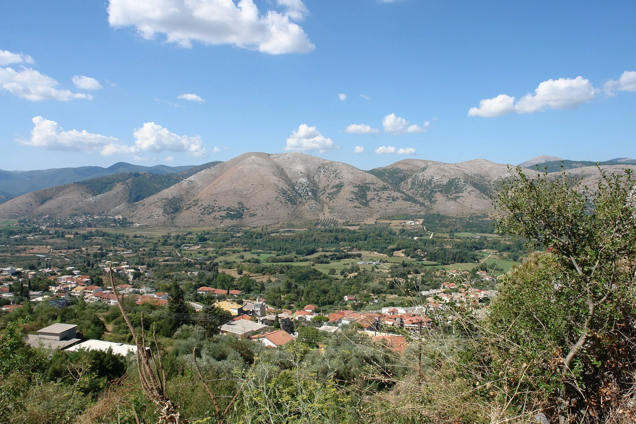
ΠαραμυθιάTownCatch glimpses of rural life as you pedal through Goulgara, a quaint village perched in breathtaking mountain scenery.
150 km
150 km
Goulgara578 mPeakGoulgara, amidst its striking mountain surroundings, poses a true challenge to outdoor enthusiasts with its intense elevation gain.
156 km
156 km
ΓραικοχώριSub-urbConquer the summit of Γραικοχώρι and be rewarded with panoramic views of the mountain ranges, a feat that few have experienced.
158 km
158 km
Finish: Ηγουμενίτσα City centerIgoumenítsa: Cycling through the diverse landscapes of Igoumenítsa with access to famous routes
Cycling routes from Igoumenitsa:
Along the River Mountain Challenge Exploring the Backroads Igoumenítsa to Tyria Igoumenítsa to Λαδοχώρι Goulgara to Sivota Cycling Route Igoumenítsa to Νέα Σελεύκεια Igoumenítsa to Γραικοχώρι Road Cycling Route Igoumenítsa to Γραικοχώρι Road Cycling Route Igoumenítsa to Castle of Igoumenítsa Road Cycling Route
Cycling routes nearby: