The Császártöltés Challenge
A road cycling route starting from Janoshalma
Conquer the hills and valleys of Császártöltés
Map
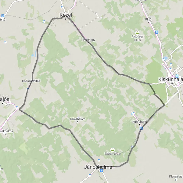
Get ready for a challenging ride through the hilly landscapes of Császártöltés. With an ascent of 110 meters and a distance of 77 km, this road cycling route is suitable for experienced amateur cyclists. As you conquer the hills and valleys, you'll be rewarded with breathtaking views, picturesque villages, and notable landmarks along the way.
road
77 km
110 m
Tough
Route profile
Highlights on the route
0 km
0 km
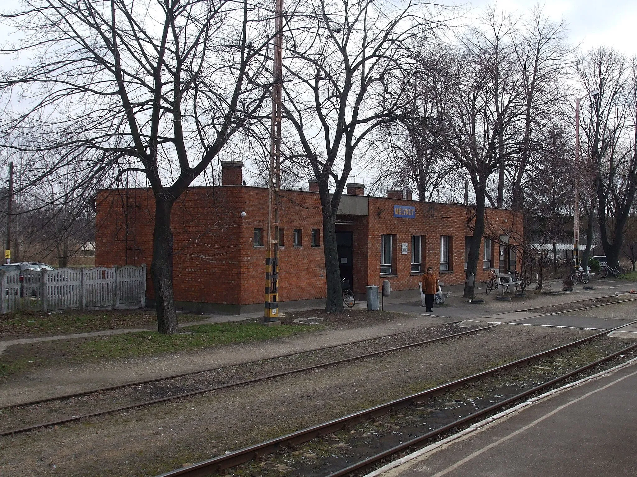
Start: Jánoshalma City centerJánoshalma: Delve into the beauty of Jánoshalma's countryside through its picturesque cycling trails.
Jánoshalma, situated in the Dél-Alföld region of Hungary, is a charming locality providing scenic cycling routes for road and gravel cyclists. The town itself is relatively small and boasts a peaceful atmosphere. Surrounding Jánoshalma, cyclists can explore the extensive network of rural roads that traverse the beautiful countryside. The area features flat and gently rolling terrain, making it suitable for riders of various levels. While Jánoshalma does not have any famous cycling-related spots, its ideal location and charming surroundings make it an attractive destination for cyclists seeking enjoyable rides amidst nature.22 km
22 km
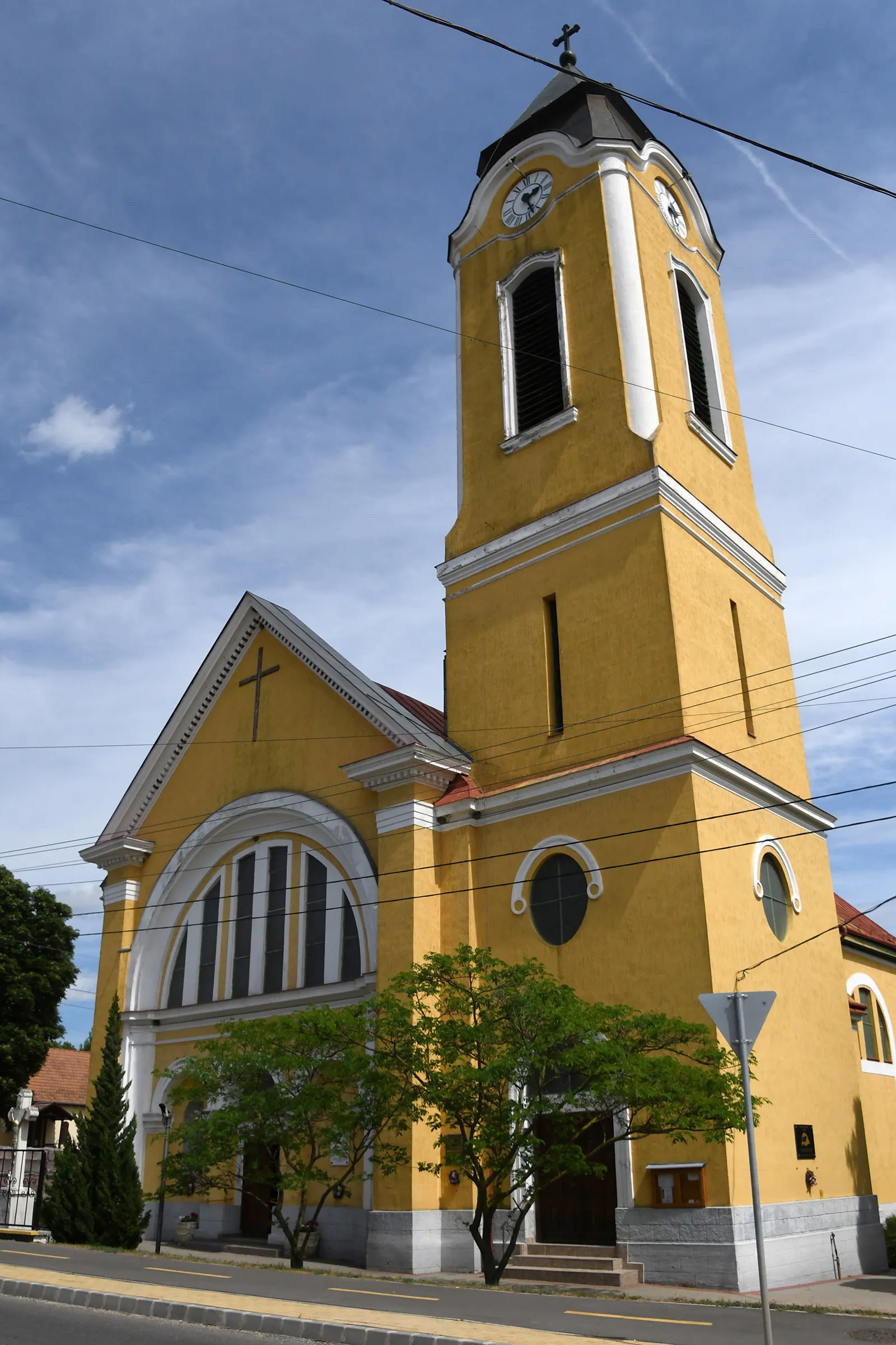
CsászártöltésVillageEnjoy the scenic beauty of Császártöltés and its rolling hills and valleys.
36 km
36 km
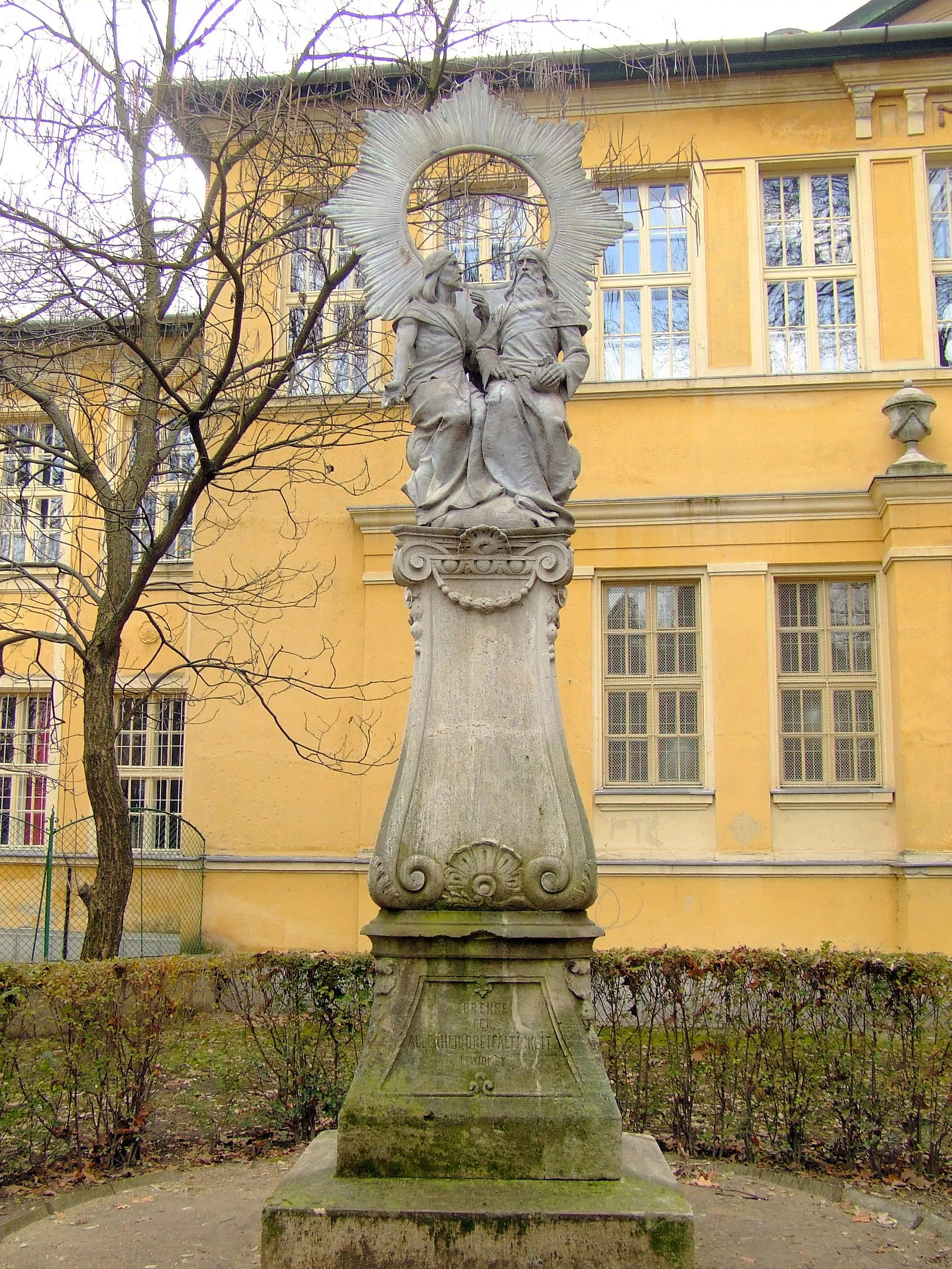
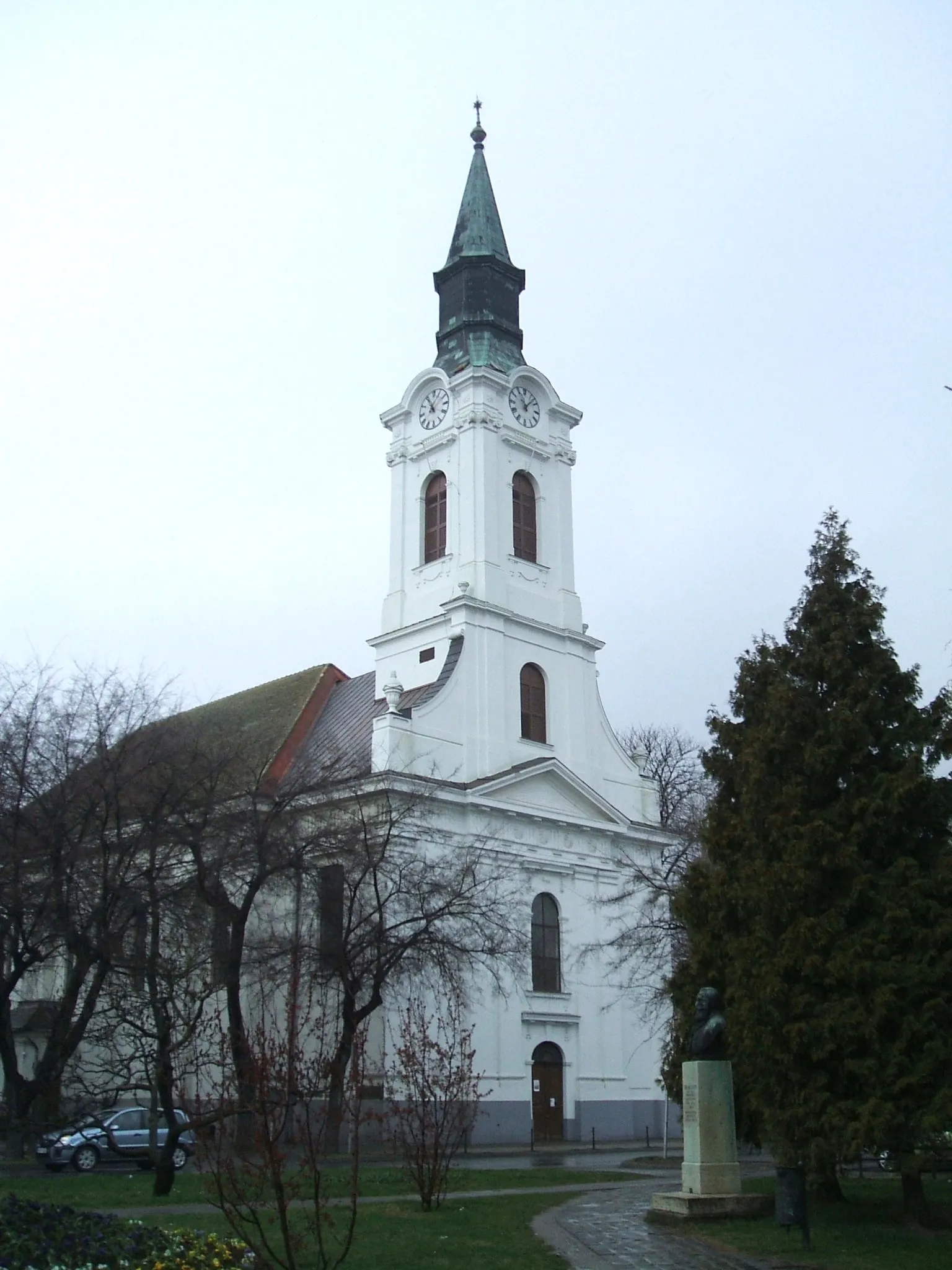
KecelTownPass through Kecel and appreciate its rural charm and friendly atmosphere.
65 km
65 km
KunfehértóVillageExplore Kunfehértó and its serene natural surroundings, a hidden gem along the route.
77 km
77 km
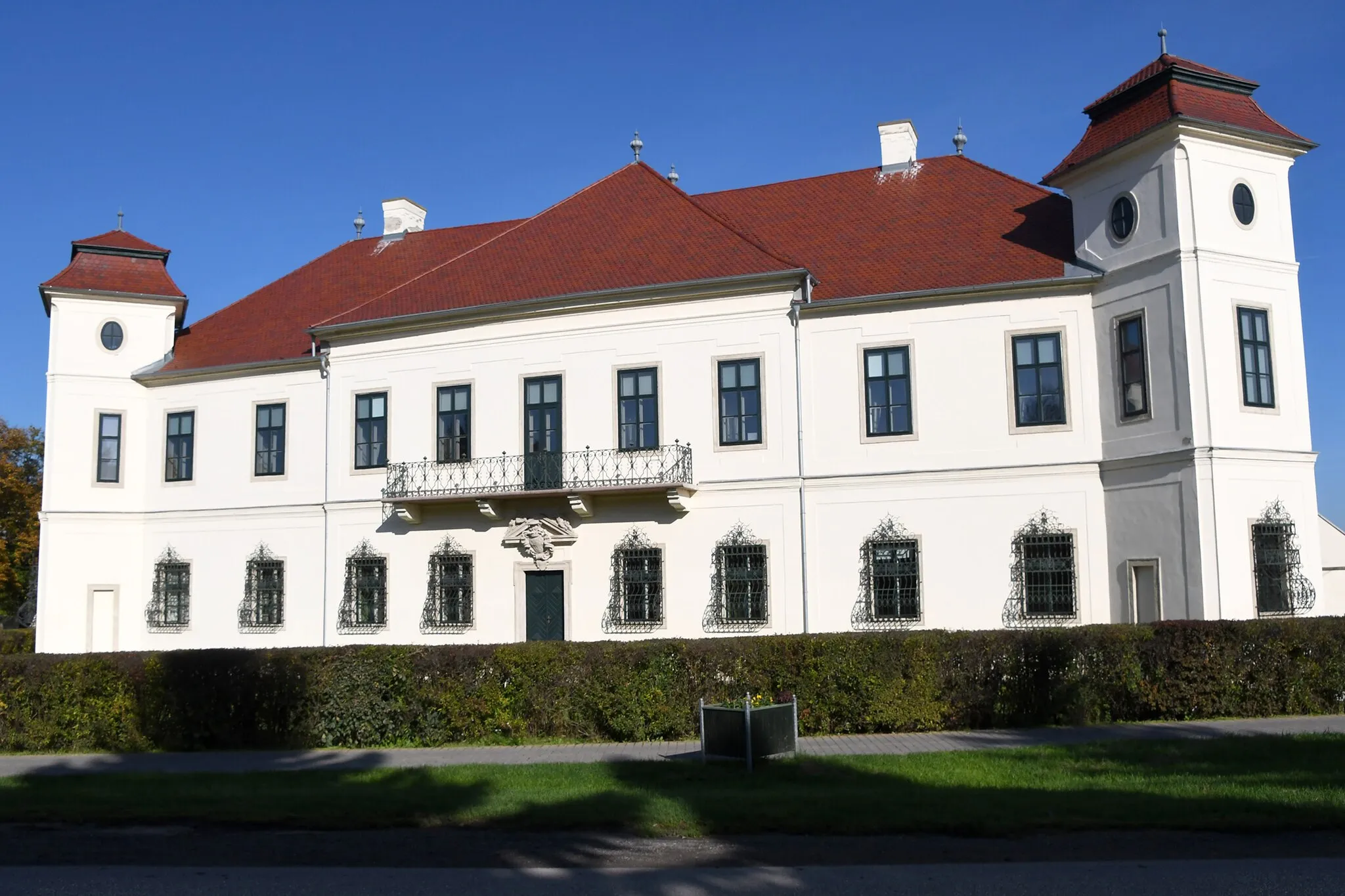
Felső-Bácskai MűmalomAttractionExperience the historical significance of Felső-Bácskai Műmalom and its architectural beauty.
77 km
77 km
Finish: Jánoshalma City centerJánoshalma: Delve into the beauty of Jánoshalma's countryside through its picturesque cycling trails.
Cycling routes nearby: