Tataháza to Jánoshalma Road Route
A road cycling route starting from Melykut
Explore Mélykút's charming villages on this scenic road route
Map
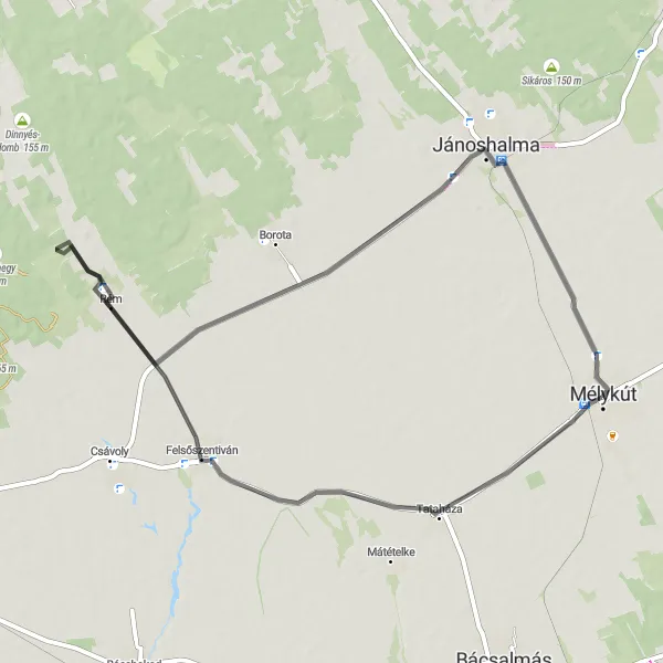
Embark on a picturesque journey from Tataháza to Jánoshalma on this stunning road route. With a distance of 59 km and an ascent of 57 meters, this route showcases the beauty of Mélykút's countryside and takes you through charming villages along the way. Highlights include Tataháza, Felsőszentiván, and Jánoshalma. Immerse yourself in the rural atmosphere, admire traditional architecture, and enjoy the splendid landscapes that this route has to offer.
road
59 km
57 m
Chill
Route profile
Highlights on the route
0 km
0 km
Start: Mélykút City centerMélykút: Peaceful cycling in the Dél-Alföld region
Mélykút is a locality situated in the Dél-Alföld region of Hungary. As a road and gravel cyclist, you will find decent cycling opportunities here. The surrounding region offers picturesque landscapes and peaceful routes. Mélykút is not known for any famous cycling-related spots or major climbs, but it provides a pleasant and serene cycling experience.7 km
7 km
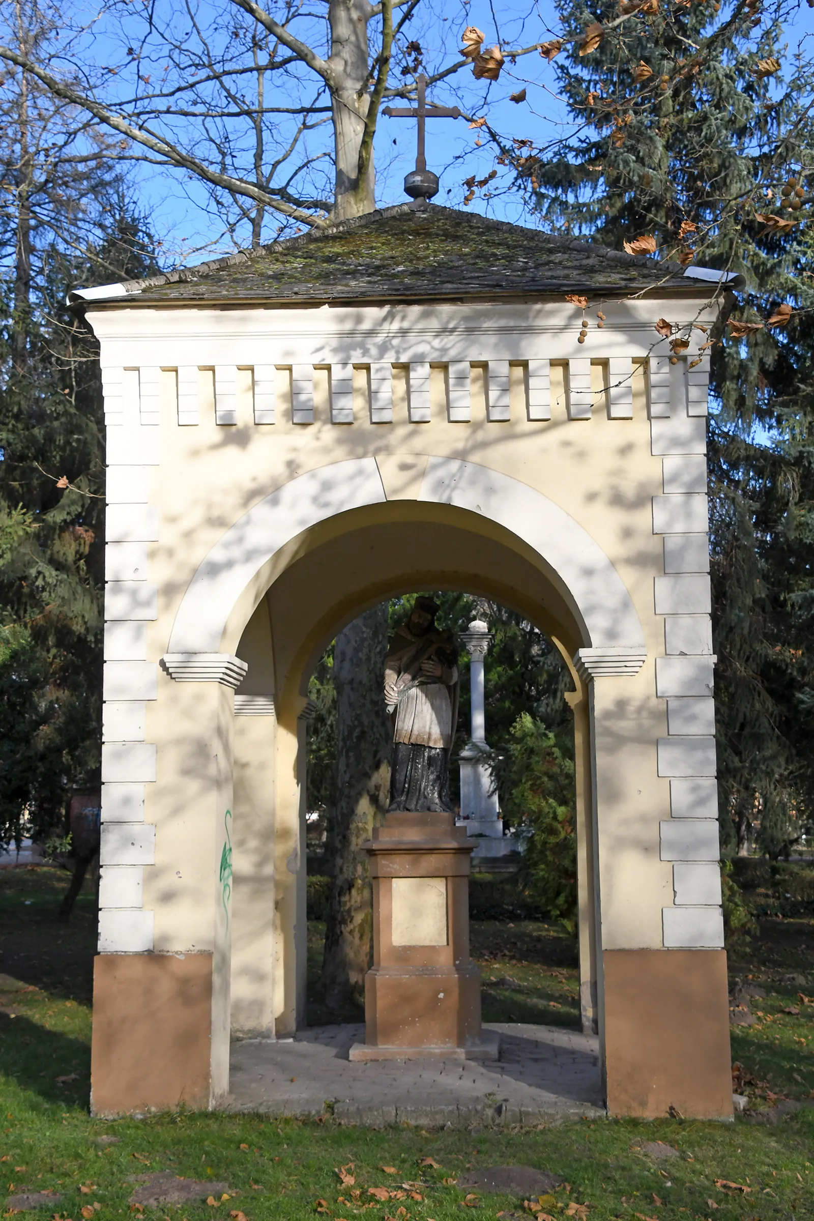
TataházaVillageTataháza is a picturesque village characterized by its traditional architecture and welcoming locals. Stop by one of the local cafes for a cup of coffee and enjoy the tranquil atmosphere.
17 km
17 km
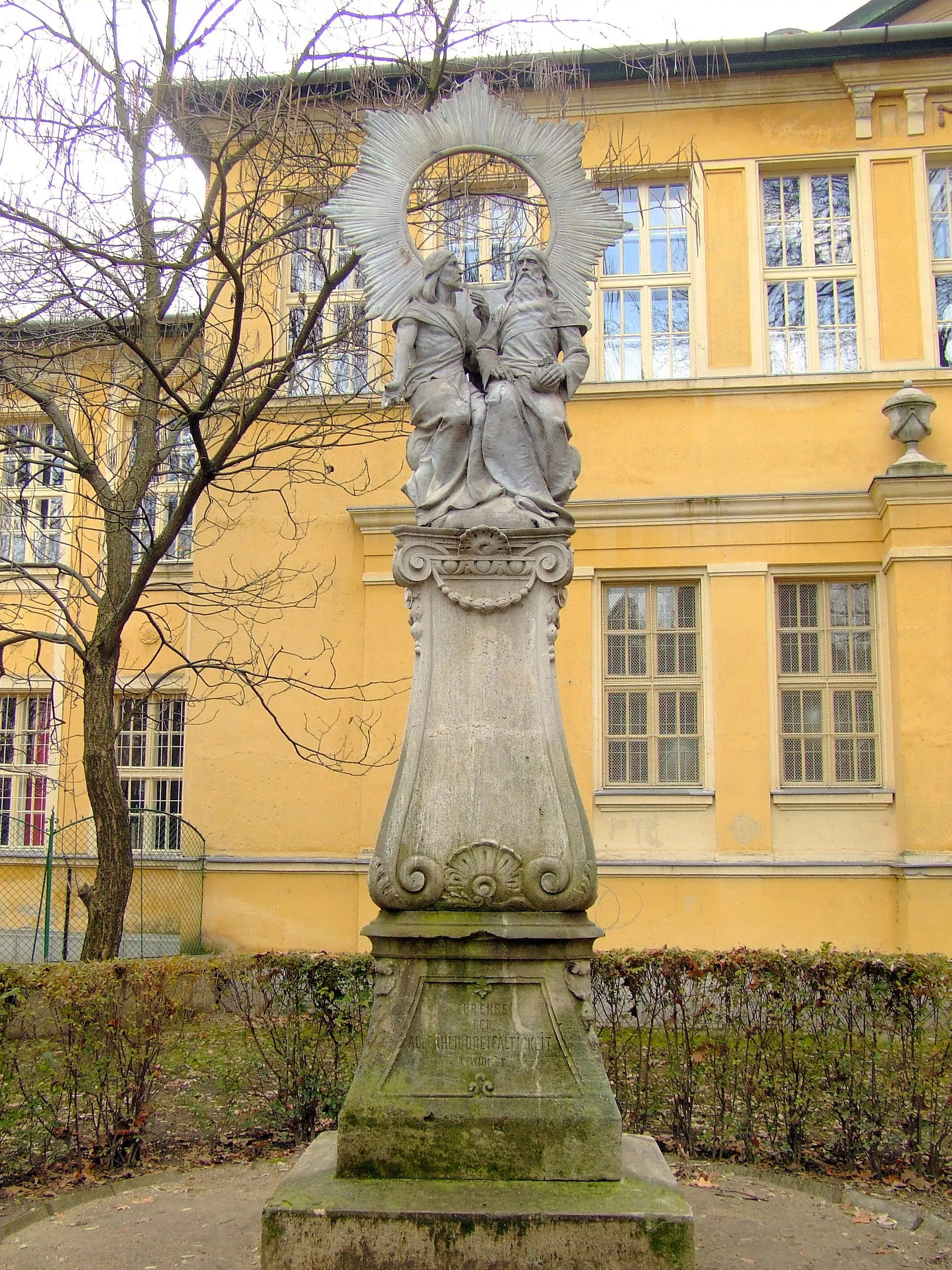
FelsőszentivánVillageFelsőszentiván is a charming village known for its rich cultural heritage. Take a leisurely stroll through the village and discover the traditional crafts and local traditions.
48 km
48 km
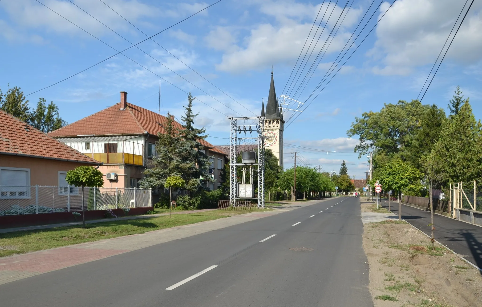
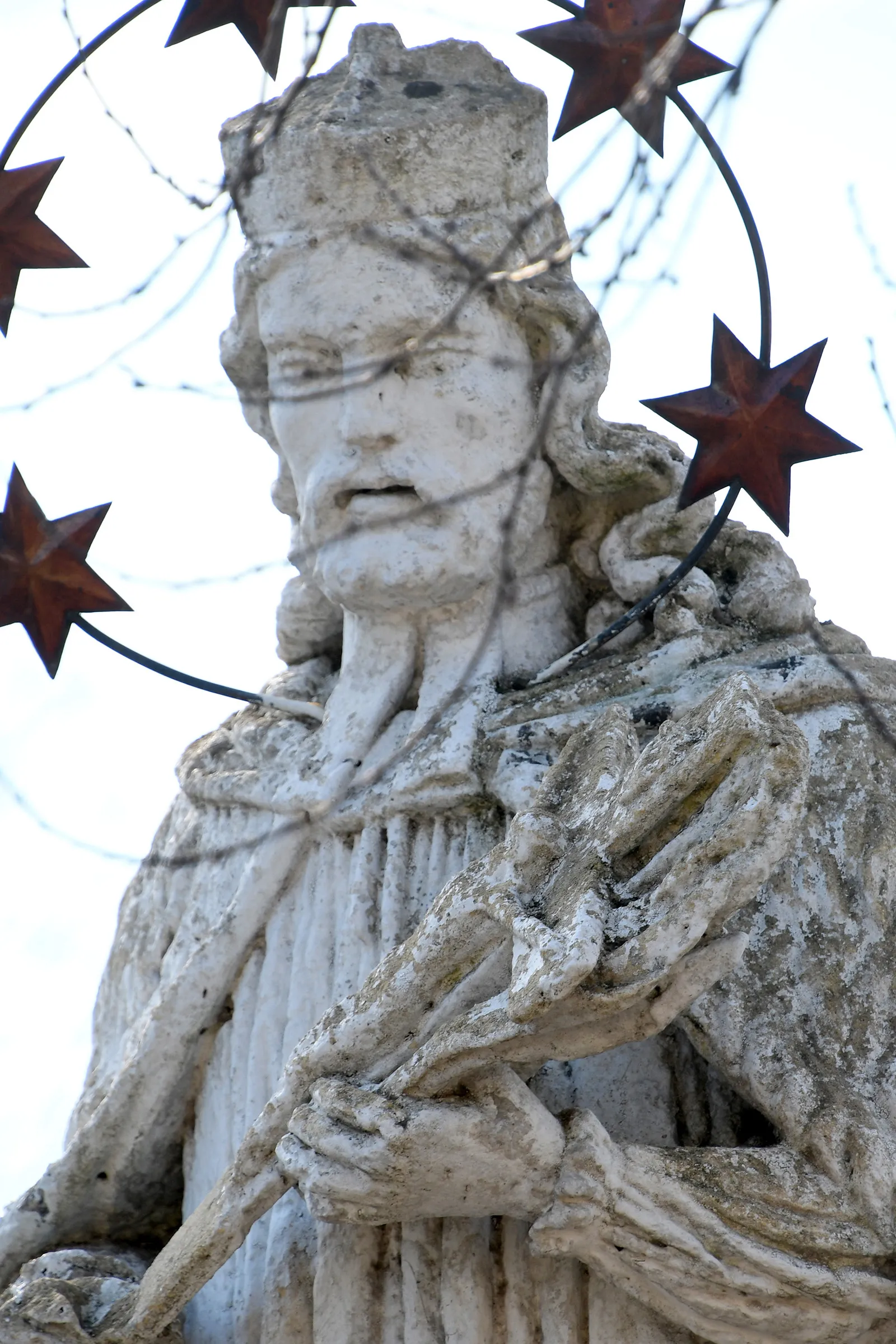
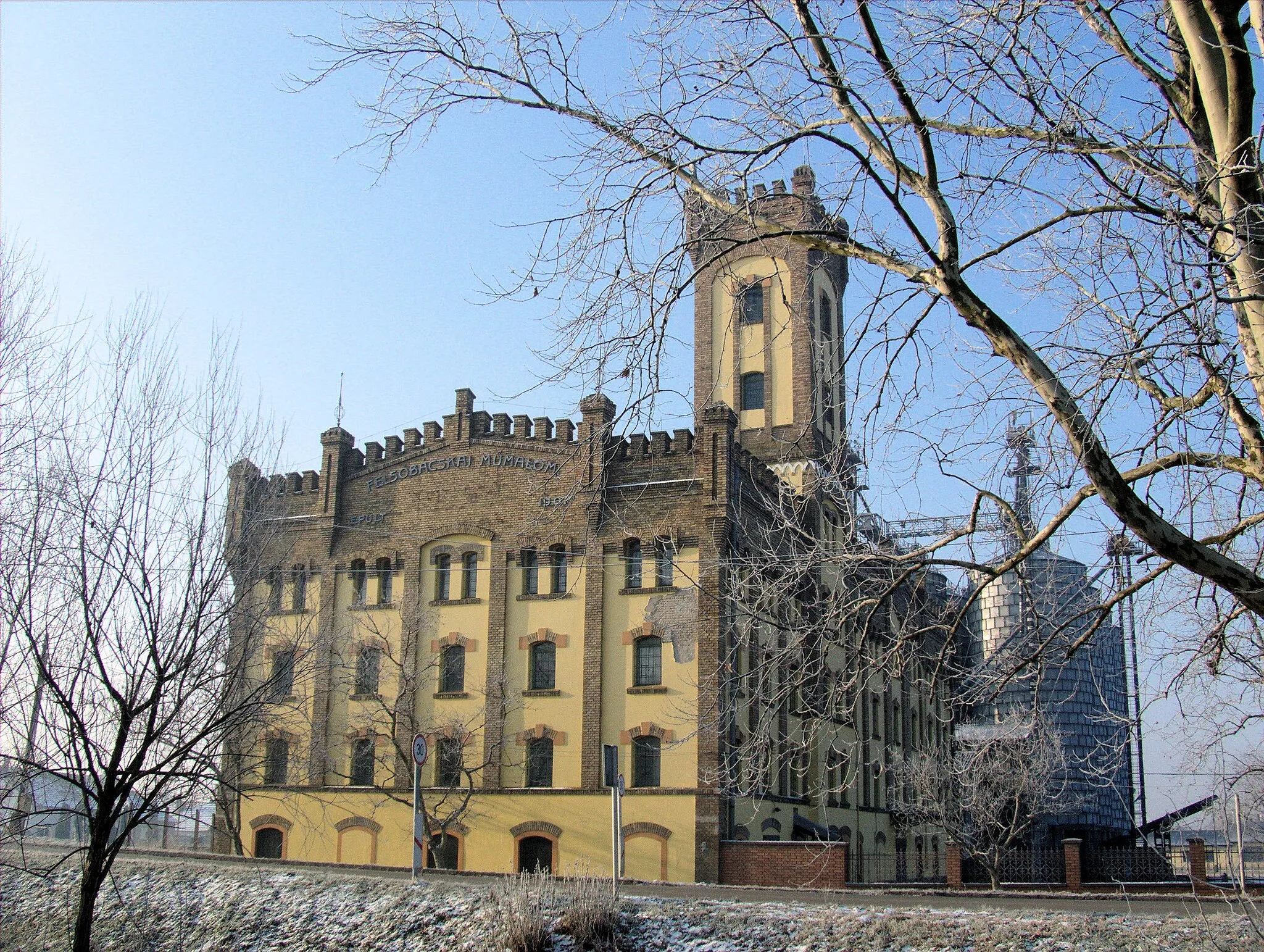
JánoshalmaTownJánoshalma is a delightful small town located along the banks of the Danube River. Enjoy the scenic views and explore the local shops and cafes for a taste of the regional cuisine.
59 km
59 km
Finish: Mélykút City centerMélykút: Peaceful cycling in the Dél-Alföld region
Cycling routes from Melykut:
Cycling routes nearby: