Nyírszőlős Explorer
A road cycling route starting from Kotaj
Discover the hidden treasures of Nyírszőlős and its surrounding areas on this road cycling route
Map
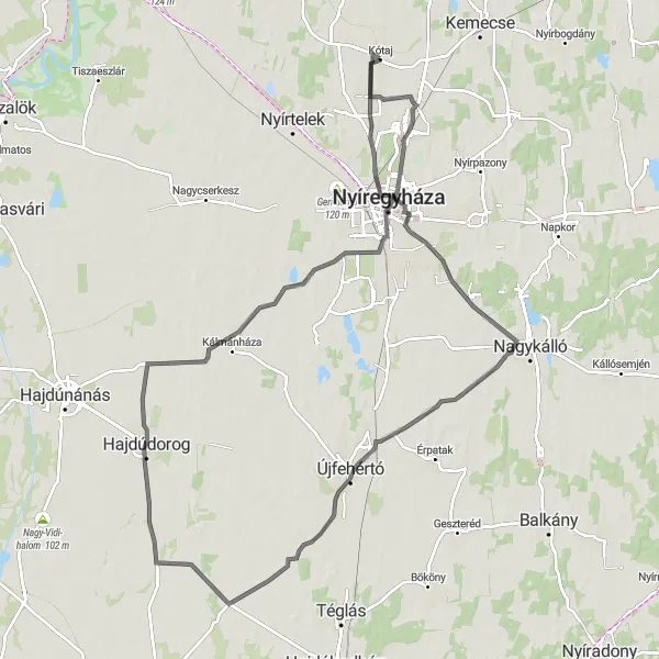
The Nyírszőlős Explorer is a road cycling route that spans across 107 kilometers and features an elevation gain of 62 meters. This route takes cyclists through the charming town of Nyírszőlős and its picturesque surroundings. Along the way, you'll pass by historic sites, beautiful vineyards, and quaint villages. It's a perfect route for those who want to combine cultural exploration with outdoor adventure.
road
107 km
62 m
Tough
Route profile
Highlights on the route
0 km
0 km
Start: Kótaj Village centerKótaj: Leisurely Cycling in Észak-Alföld
Kótaj is a locality situated in the Észak-Alföld region of Hungary. From a cyclist's point of view, Kótaj offers a mixture of flat roads and gently rolling hills, making it a suitable location for leisurely rides and beginner cyclists. Though lacking in famous cycling spots or noteworthy climbs, Kótaj provides cyclists with an opportunity to explore the region's beautiful countryside and enjoy peaceful rides. With its pleasant terrain and scenic views, Kótaj receives a rank of 3 on the cyclist perspective scale.2 km
2 km
NyírszőlősSub-urbNyírszőlős, the starting point of the route, is a small town known for its wineries and excellent wines.
3 km
3 km
Izsó-domb123 mPeakIzsó-domb, located 3 kilometers into the route, is a challenging climb that offers panoramic views of the surrounding countryside.
16 km
16 km
BorbányaSub-urbBorbánya, at 16 kilometers, is a former mining village with a rich history and well-preserved mine shafts.
38 km
38 km
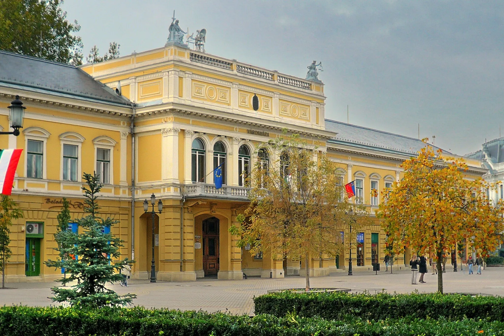
ÚjfehértóTownÚjfehértó, at 38 kilometers, is a charming town with a beautiful town square and historic buildings.
58 km
58 km
HajdúvidSub-urbHajdúvid, at 58 kilometers, is a small village known for its traditional handicrafts, especially pottery and embroidery.
65 km
65 km
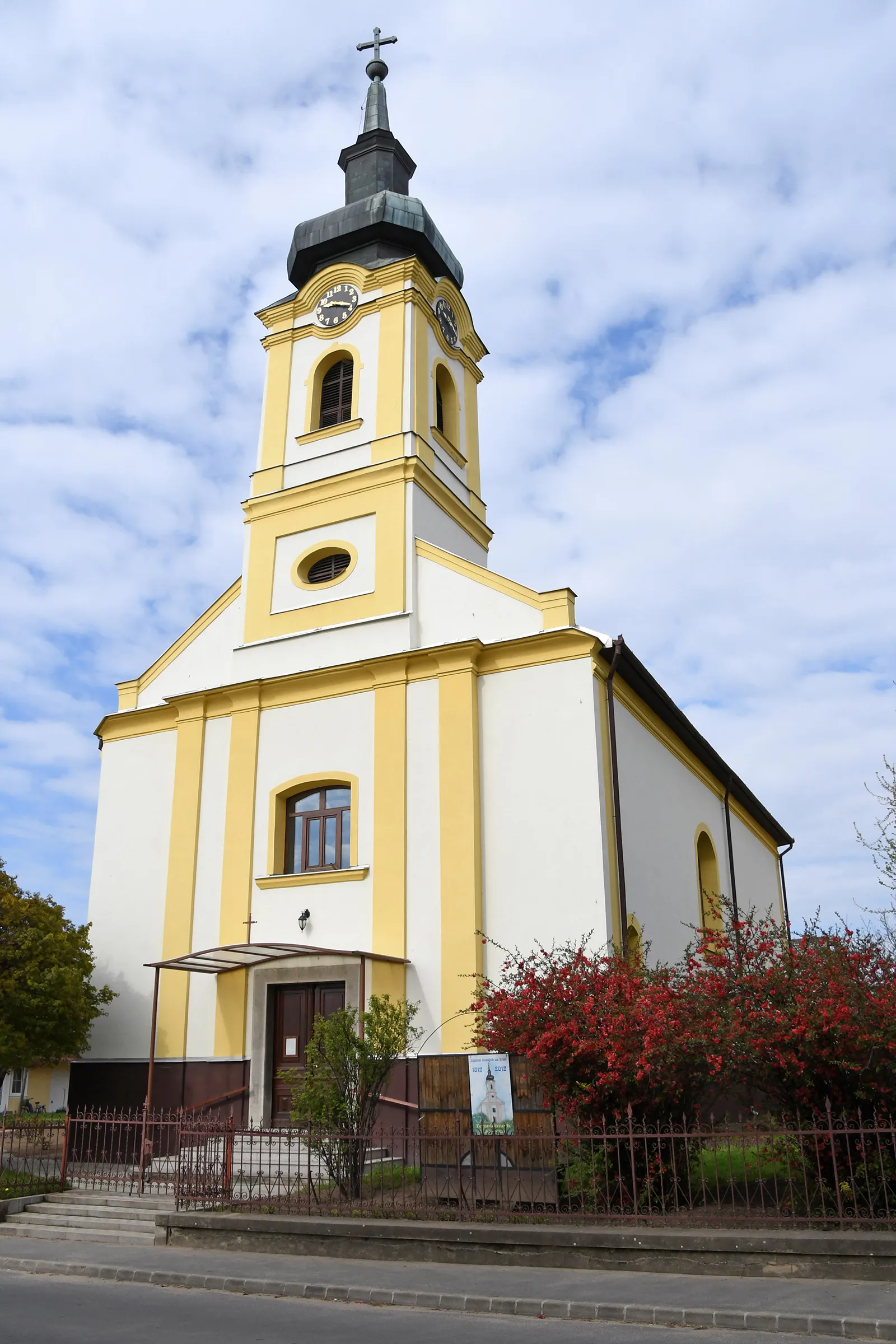
HajdúdorogTownHajdúdorog, at 65 kilometers, is home to the famous Millennium Cross, a cultural and spiritual symbol of the region.
93 km
93 km
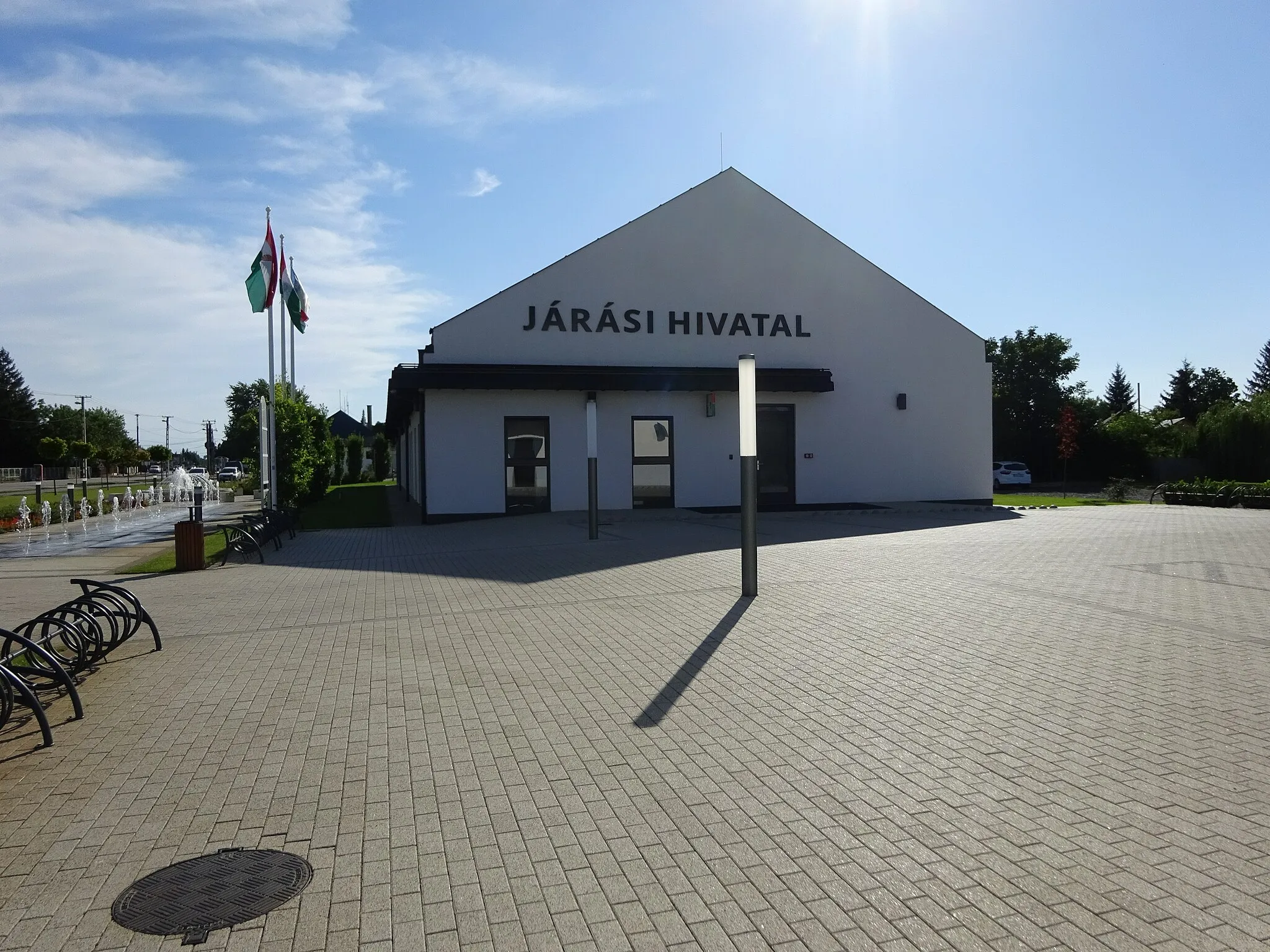
NyíregyházaCityNyíregyháza, at 93 kilometers, is the largest city in the region and offers a wide range of cultural and entertainment options for visitors.
107 km
107 km
Finish: Kótaj Village centerKótaj: Leisurely Cycling in Észak-Alföld
Cycling routes nearby: