Mátyus to Vásárosnamény
A road cycling route starting from Vasarosnameny
Embark on a scenic road cycling journey from Mátyus to Vásárosnamény
Map
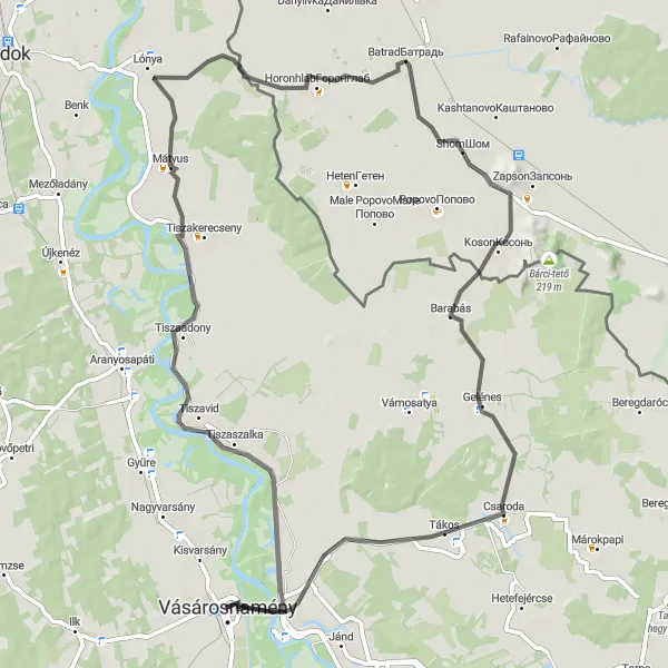
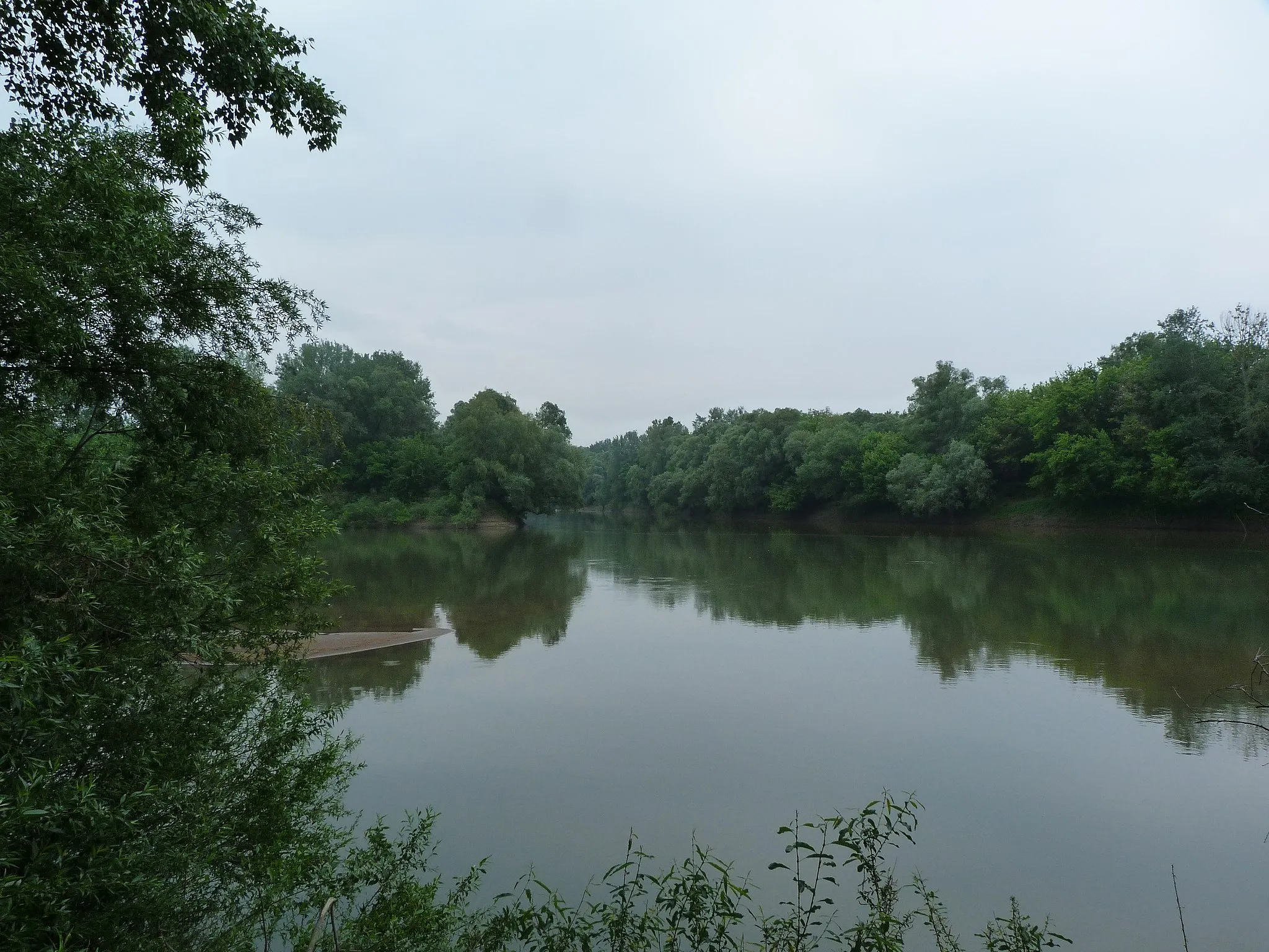
The Mátyus to Vásárosnamény route is a delightful road cycling journey that covers a distance of 74 km with an ascent of 25 m. This route is perfect for riders who appreciate the beauty of the Hungarian landscape and enjoy taking in the sights along the way. Pedal through peaceful rural areas, passing through the quaint village of Mátyus before reaching the vibrant town of Vásárosnamény. As you cycle, you will encounter diverse highlights such as Shom and Запсонська гора, offering a unique blend of nature and cultural experiences.
road
74 km
25 m
Tough
Route profile
Highlights on the route
0 km
0 km
Start: Vásárosnamény City centerVásárosnamény: Tranquil road and gravel cycling in the rural landscapes of Vásárosnamény.
Vásárosnamény is a locality situated in the Észak-Alföld region of Hungary. For road and gravel cyclists, Vásárosnamény offers moderate cycling opportunities. While there might not be extensive cycling infrastructure in the town itself, the surrounding countryside provides pleasant riding conditions. Though there are no internationally famous cycling spots or renowned climbs nearby, Vásárosnamény is a good choice for cyclists looking for tranquil rides in the rural landscapes of Hungary.24 km
24 km
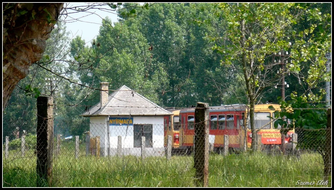
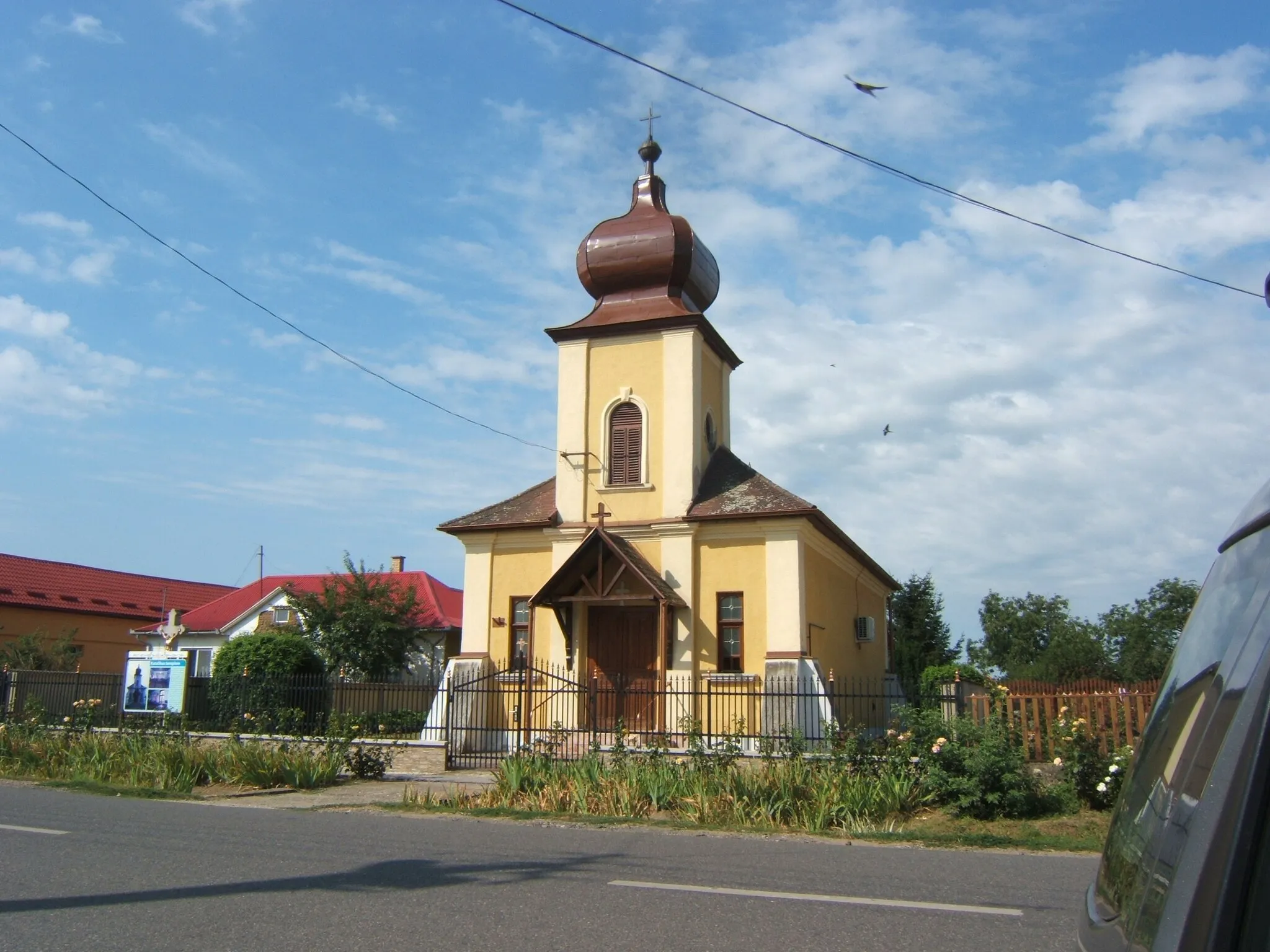
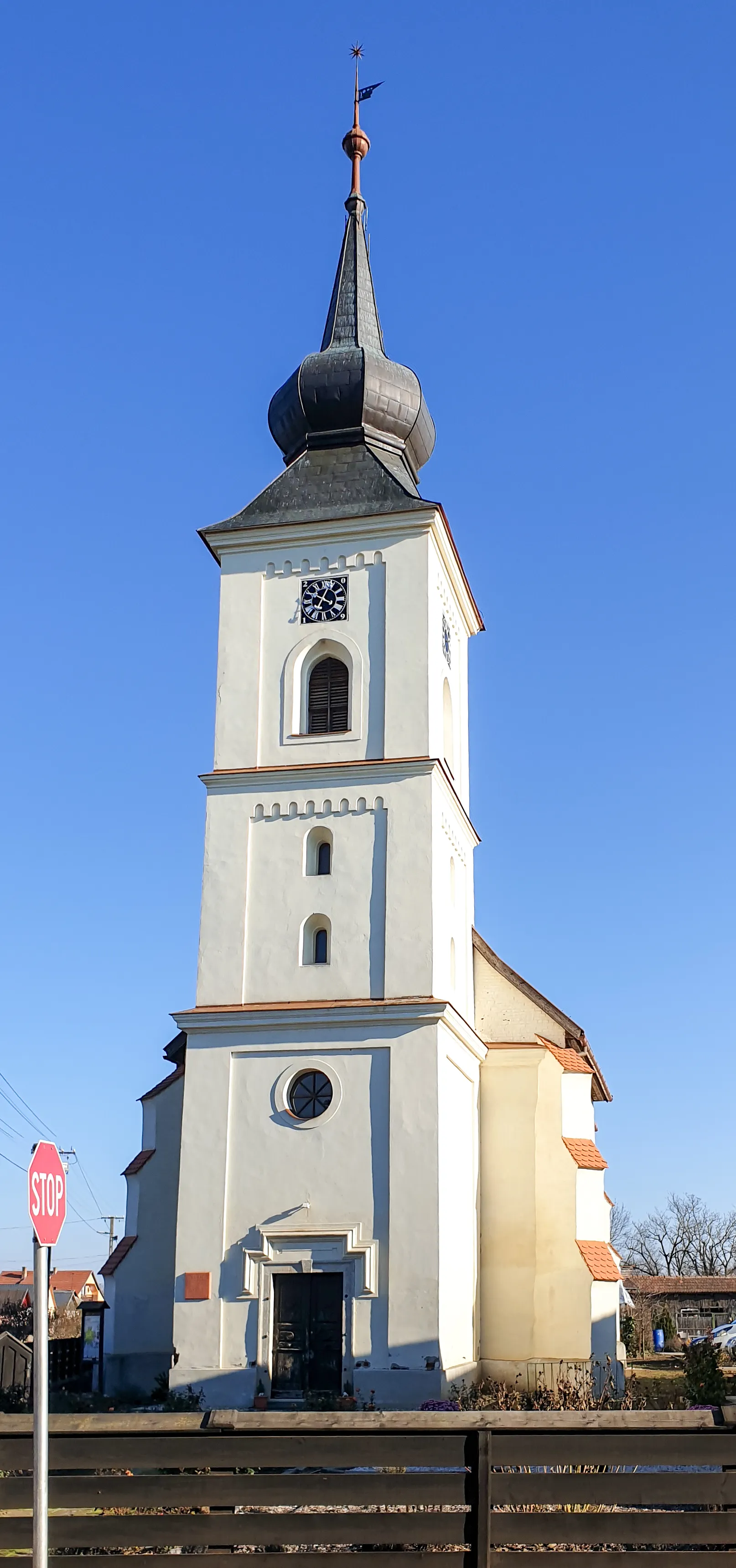
MátyusVillageDiscover Mátyus, a small village known for its traditional folk culture.
44 km
44 km
ShomVillageExperience the natural beauty of Shom, a stunning nature reserve with diverse flora and fauna.
46 km
46 km
Запсонська гора209 mPeak64 km
64 km
TákosVillageVisit Tákos and immerse yourself in its rich history and charming old town.
74 km
74 km
VásárosnaményTownExplore Vásárosnamény, a vibrant town with a rich cultural heritage and plenty of tourist attractions.
74 km
74 km
Finish: Vásárosnamény City centerVásárosnamény: Tranquil road and gravel cycling in the rural landscapes of Vásárosnamény.
Cycling routes from Vasarosnameny:
Cycling routes nearby: