Enjoy a serene cycling experience in Környe
Cycling routes from Kornye
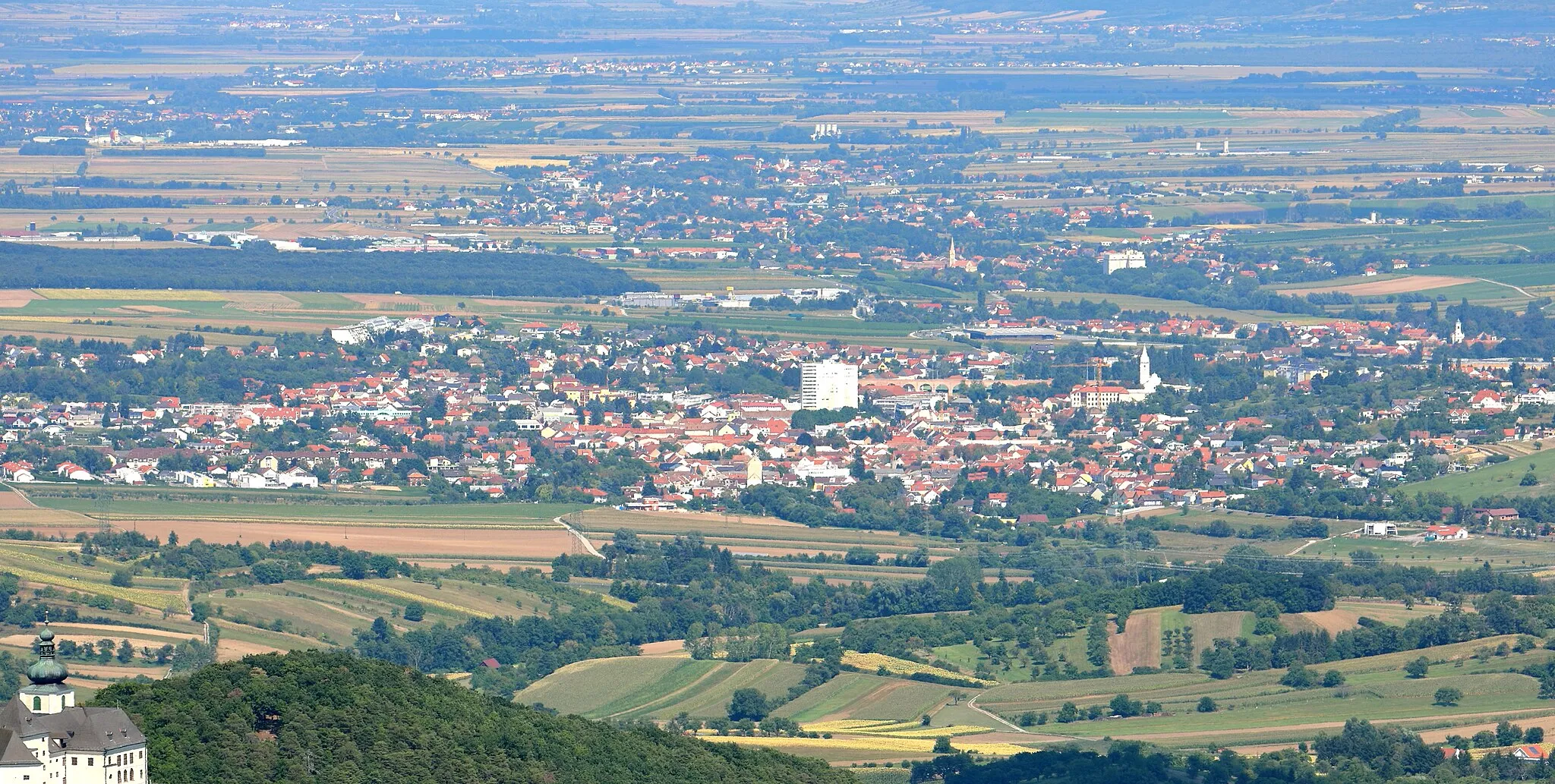
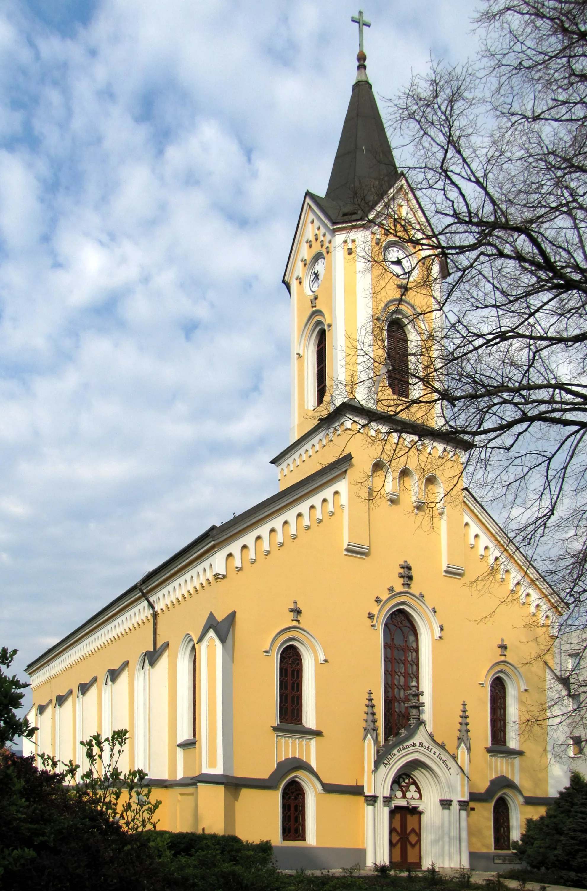
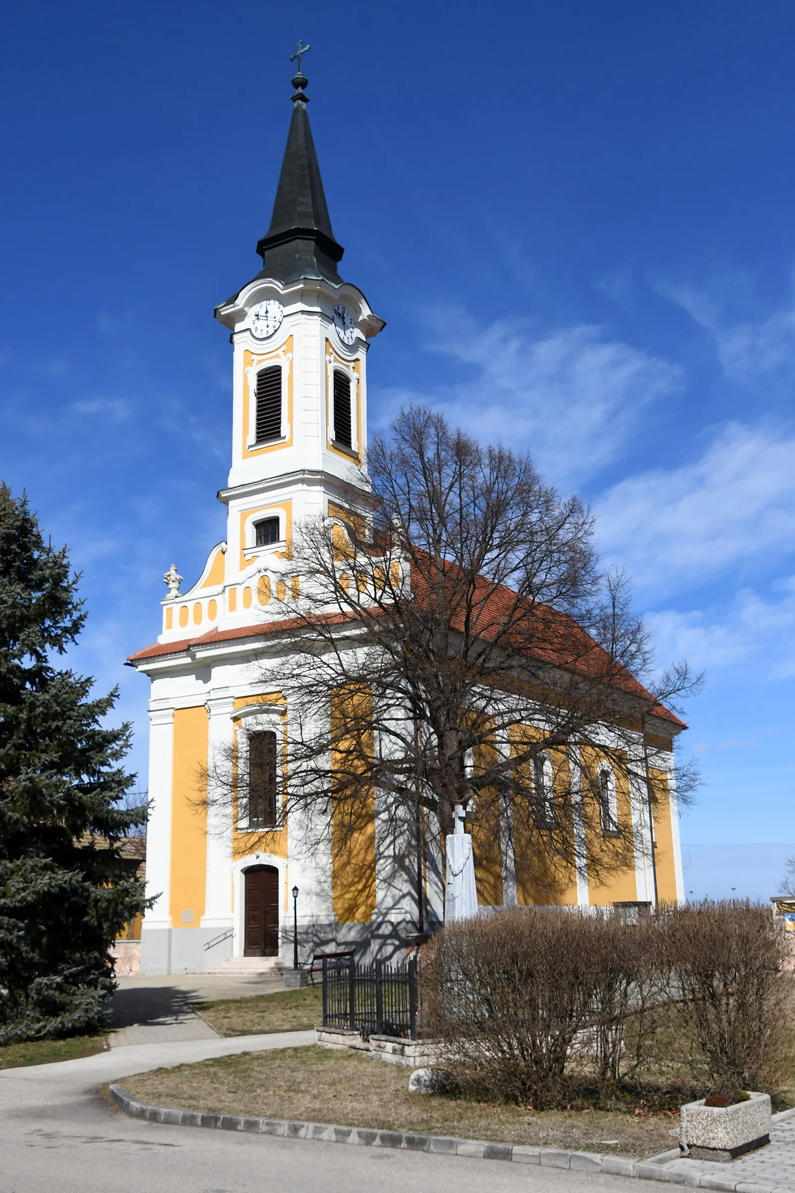
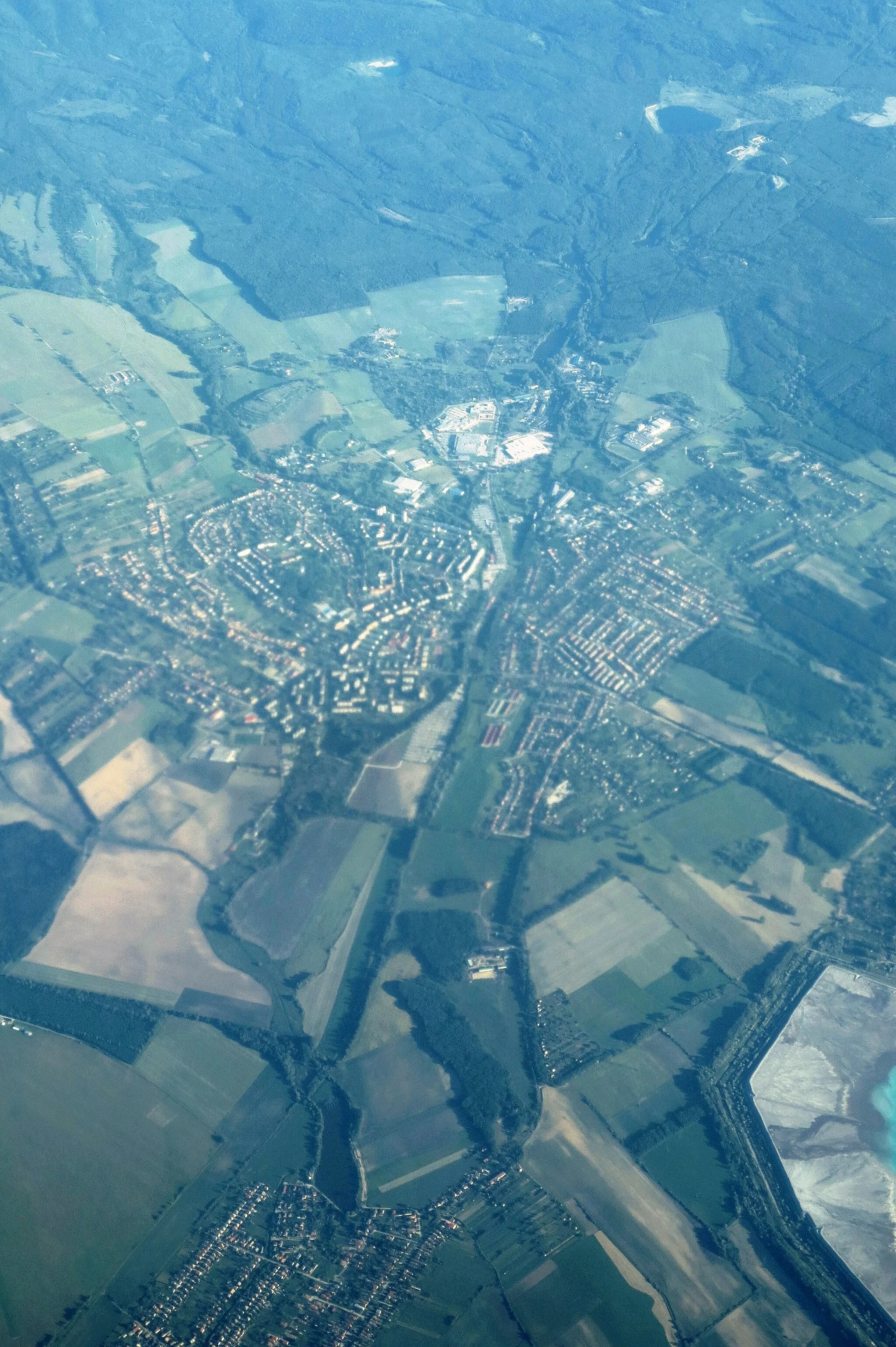
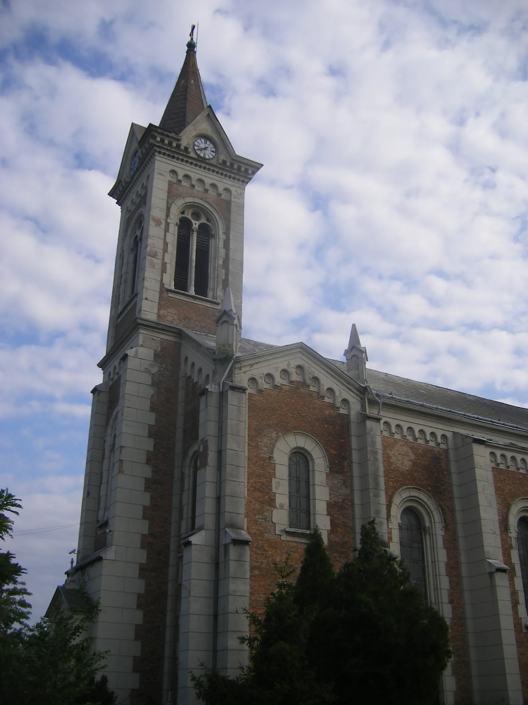
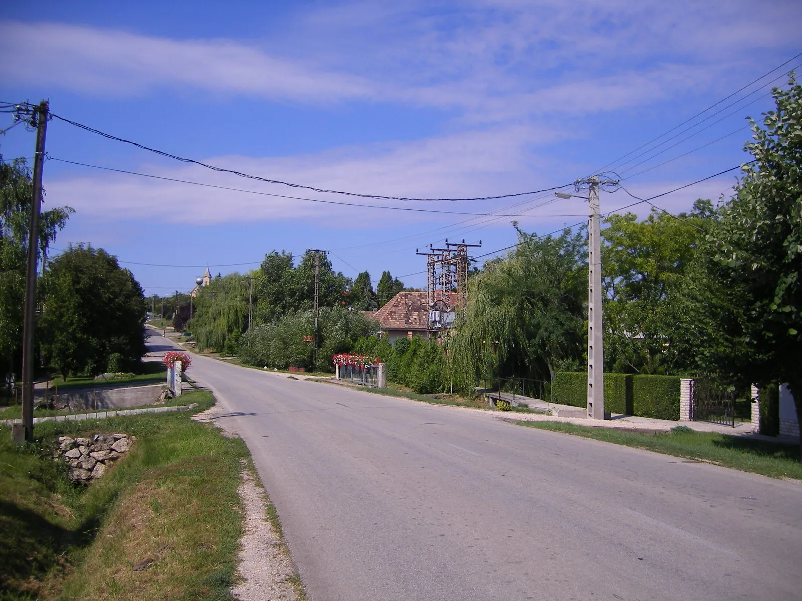
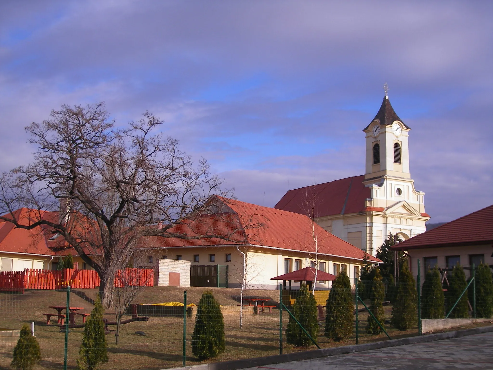
Környe is a small town situated in the Közép-Dunántúl region of Hungary. As a cyclist, you can expect moderate cycling conditions in Környe. The roads are decent and there are some pleasant routes to explore in the surrounding countryside. However, there are no notable cycling-related attractions or renowned climbs nearby. Környe is best suited for cyclists seeking a peaceful ride in a rural environment without any major cycling highlights.
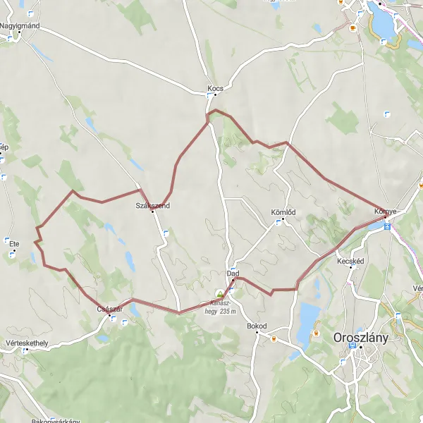
Experience a thrilling gravel adventure through Dad and Császár
Get ready for an exhilarating gravel ride through Dad and Császár. Covering a distance of 50 kilometers with an ascent of 331 meters, this route is perfect for cyclists eager to explore off-road terrains. Along the way, you'll be surrounded by stunning landscapes and have the chance to discover the hidden gems of these lesser-known towns.
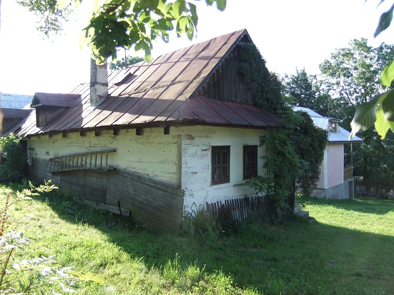
Discover the hidden gems of Kecskéd and Pusztavám
This road route takes you on a journey to explore the lesser-known towns of Kecskéd and Pusztavám. With a total ascent of 348 meters, this 60-kilometer route is suitable for cyclists of moderate fitness levels. You'll have the opportunity to soak in the beauty of the surrounding landscapes and enjoy the tranquility of these charming towns.
Etyek Wine Trail
Indulge in the flavors of Etyek's vineyards
Embark on a 100-kilometer road cycling adventure along the Etyek Wine Trail. With an ascent of 809 meters, this route is suitable for experienced cyclists seeking a challenging yet rewarding journey. Along the way, you'll pass through picturesque landscapes and charming villages, with plenty of opportunities to sample the region's famous wines.
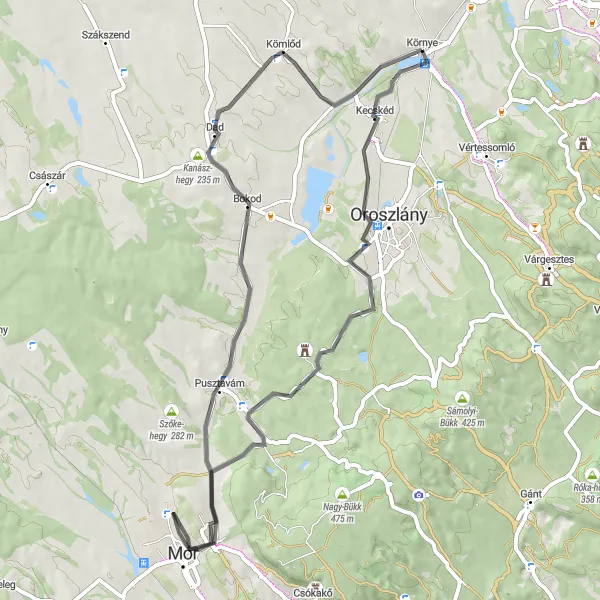
Környe Road Explorer
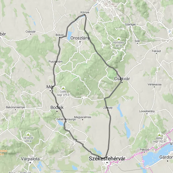
Embark on a road cycling adventure through the picturesque landscapes around Környe
This road cycling route offers a diverse and scenic experience for cyclists exploring the Közép-Dunántúl region near Környe. With a distance of 98 kilometers and an ascent of 473 meters, this route is suitable for intermediate to advanced riders. Highlights along the way include Kőhányáspuszta, a popular spot for outdoor activities, the Kotló-hegy mountain with stunning panoramic views, and the picturesque towns of Zámoly, Iszkaszentgyörgy, and Fehérvárcsurgó. Pusztavám, known for its historic buildings and charming streets. The route ends back in Környe, where you can enjoy a well-deserved rest.
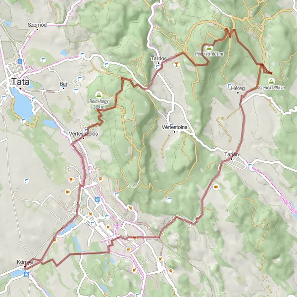
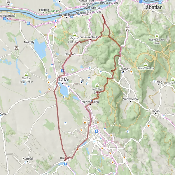
Embark on a gravel and hill challenge from Vértesszőlős to Környe
This challenging gravel and hill route takes you from Vértesszőlős to Környe, offering a combination of scenic landscapes and challenging climbs. With an ascent of 954 meters and a distance of 62 kilometers, this route is suitable for experienced cyclists seeking a thrilling adventure. Highlights along the way include the archaeological sites in Vértesszőlős, the Tardos village with its tranquil ambiance and picturesque views, the Bánya-hegy hill offering panoramic landscapes, the Kis-Gerecse hill known for its natural beauty, and the Tarján viewpoint providing breathtaking views of the surrounding area. As you navigate through the Hallgató and Nagy-Somlyó hills, be prepared to test your endurance and enjoy the stunning riding experience. The peaceful village of Környe awaits as the final destination to relax and recover.
Challenge yourself on this picturesque gravel loop from Bánhida to Vértessomló
This challenging gravel loop takes you through the scenic countryside near Környe. With a total ascent of 439 meters and a distance of 31 kilometers, this route is suitable for experienced gravel riders. Highlights on the route include the charming village of Bánhida, the panoramic Körtvélyesi-kilátó lookout point, and the historic town of Vértessomló. Overall, this route offers a combination of natural beauty and cultural landmarks for cyclists looking to explore the Közép-Dunántúl region.
Explore the picturesque towns of Vértesszőlős and Vértesszentkereszti
This gravel route takes you through the idyllic towns of Vértesszőlős and Vértesszentkereszti. Along the way, you'll be surrounded by beautiful scenery and historic landmarks. The route has a total ascent of 777 meters and covers a distance of 58 kilometers. It is of moderate difficulty and offers a great way to enjoy outdoor cycling.
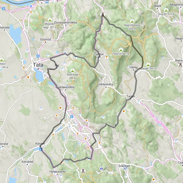
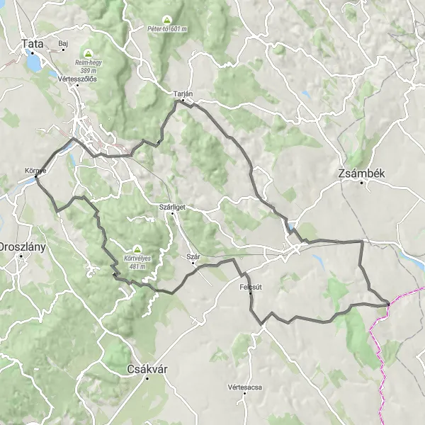
Conquer the Sánc-hegy climb on this road cycling route from Környe
This challenging road cycling route from Környe takes you on a journey that includes the notorious Sánc-hegy climb. With an ascent of 793 meters and a distance of 74 kilometers, this route is suitable for experienced road cyclists. Highlights along the route include the Sánc-hegy mountain, known for its challenging slopes, the historic town of Baj, the scenic Tardos village, and the Tarján viewpoint offering panoramic views. Cyclists will also pass by the Hallgató and Nagy-Somlyó hills, both offering scenic landscapes. This route provides a good combination of challenging climbs and picturesque scenery.
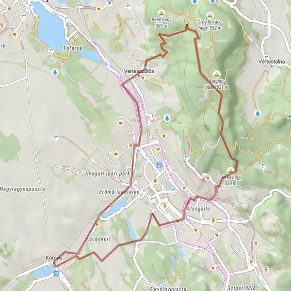
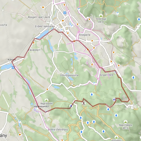
Experience a scenic gravel ride from Vértesszőlős to Környe
This gravel route takes you on a scenic adventure from Vértesszőlős to Környe, passing through picturesque landscapes and charming villages. With a total ascent of 482 meters and a distance of 36 kilometers, this route is suitable for experienced gravel riders. Highlights along the way include Vértesszőlős, a village known for its archaeological sites, the Veres-hegy hill with stunning views, the quaint village of Alsógalla, and the peaceful ambiance of Környe at the end of the route. This route offers a combination of natural beauty and cultural exploration for gravel enthusiasts.
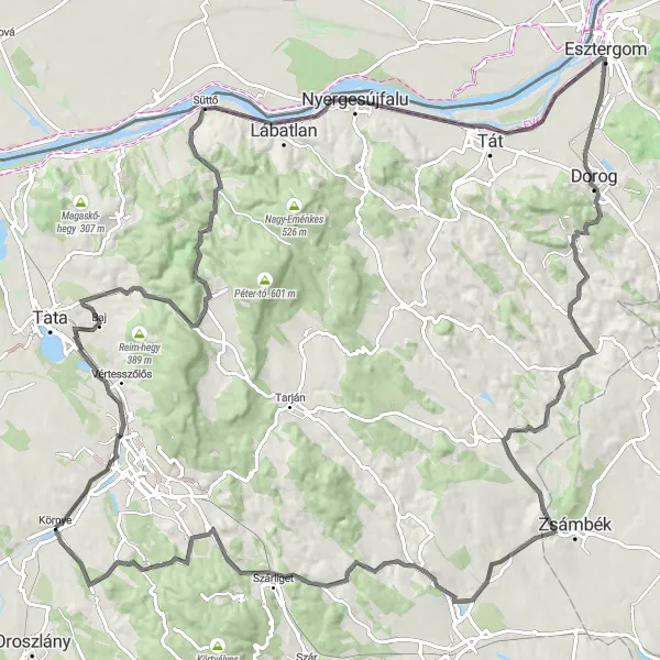
Uncover the hidden treasures of Esztergom
Embark on a road cycling expedition to Esztergom, a city with a rich history and remarkable architectural heritage. This challenging 137-kilometer route features an ascent of 1204 meters, making it suitable for experienced cyclists seeking thrilling outdoor adventures. Along the way, you'll pass through picturesque landscapes and have the opportunity to visit historic sites and charming towns.
Cycling routes nearby:

Nearby regions: