Tata - Exploring the beauty of Közép-Dunántúl on two wheels
Cycling routes from Tata
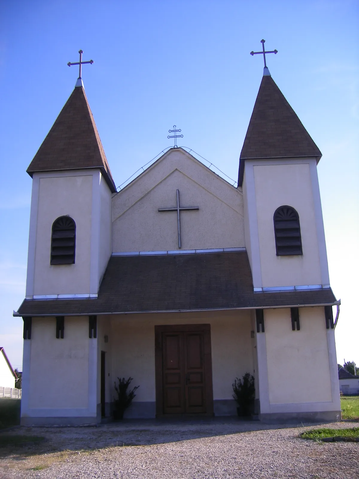
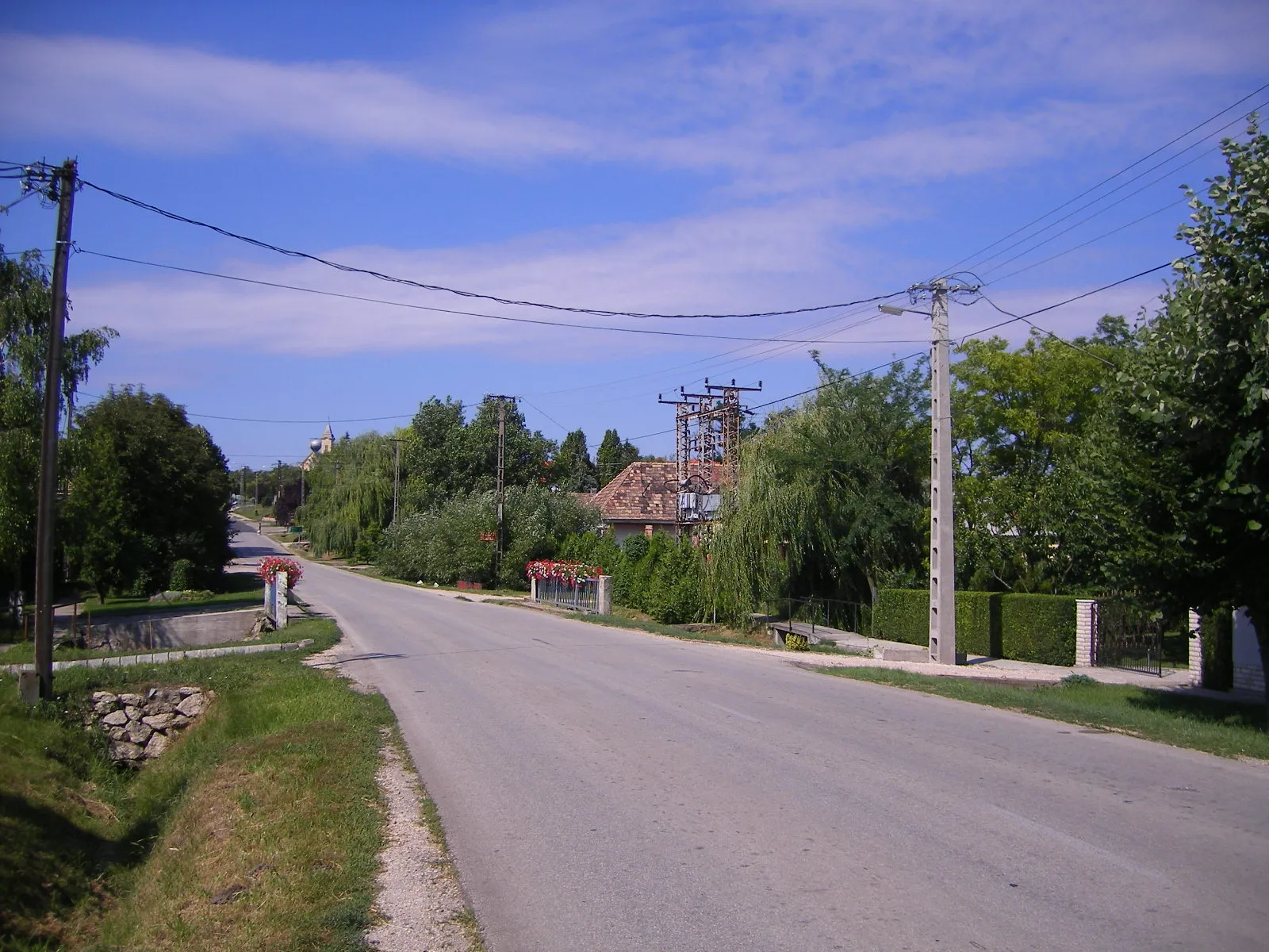
Tata is a locality located in the Közép-Dunántúl region of Hungary. It offers moderate opportunities for road and gravel cycling. Cyclists can enjoy beautiful scenery and moderate routes in Tata. While there are no famous cycling spots or well-known climbs in the immediate vicinity, the region offers picturesque landscapes and cultural attractions. Tourists can explore the nearby attractions and natural beauty of Közép-Dunántúl while visiting Tata.
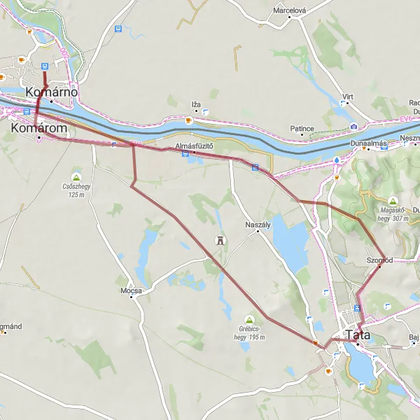
Experience the beauty of Szomód on this gravel cycling route
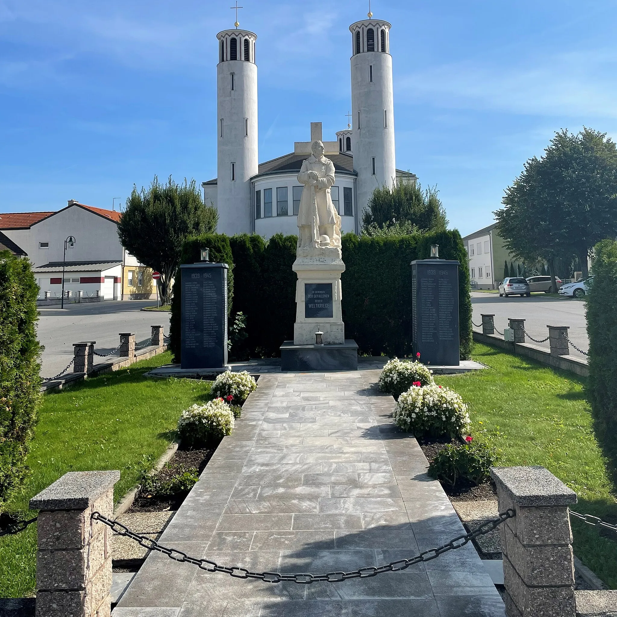
This 51 km gravel route starting from Tata takes you through scenic landscapes and introduces you to the charm of Szomód. With 167 meters of ascent, this is a relatively easy route suitable for all skill levels. The highlights along the way include the Tata Castle, known for its architectural splendor, and the Kálvária domb, a hill with panoramic views of the surrounding area. Overall, this route provides a pleasant cycling experience ideal for leisurely exploration of the region.
Experience the scenic beauty of Kálvária domb on this road cycling route
This 85 km road route starting from Tata takes you through picturesque landscapes and offers stunning views of Kálvária domb. With 569 meters of ascent, this is a challenging route suitable for well-trained amateur cyclists. The highlights along the way include the historic town of Tata, known for its impressive castle, and Oroszlánkő, a hill with panoramic views. Overall, this route provides a rewarding cycling experience with breathtaking scenery and fascinating landmarks.
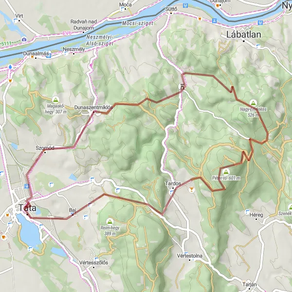
Embark on a gravel cycling adventure through Dunaszentmiklós, unveiling picturesque landscapes and hidden gems of the region.
This 48-kilometer gravel cycling route offers a combination of beauty and adventure, guiding riders through Dunaszentmiklós and its scenic surroundings. Traverse enchanting trails, conquer challenging ascents, and immerse yourself in the natural splendor of the area. Highlights along the way include Dunaszentmiklós, Asszony-hegy, Pusztamarót, Gerecse, Kereszt-hát, and Baj. With nearly 1000 meters of ascent spread across the route, this adventure promises a thrilling experience for gravel enthusiasts. Explore the diverse landscapes, encounter unique flora and fauna, and create lasting memories as you embrace the beauty of Dunaszentmiklós.
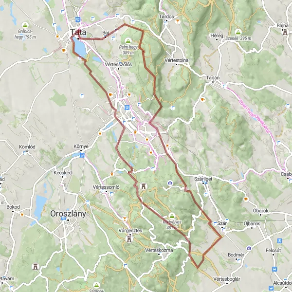
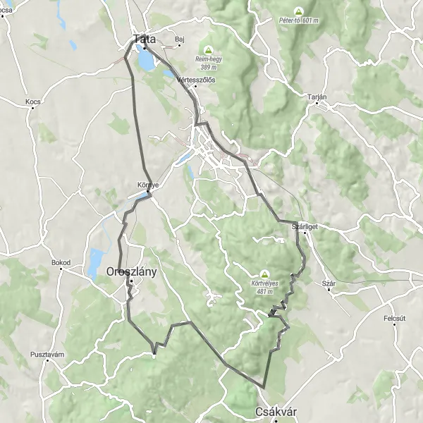
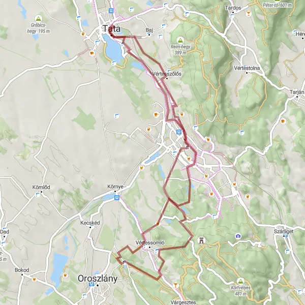
Explore the scenic beauty of Tata while conquering challenging gravel tracks and taking in the stunning views of castles and hills along the way.
This route takes you on an adventurous journey through Tata, offering breathtaking views of Baj, Veres-hegy, Ágacska-hegy, Szár, Tamás-hegy, Kálvária domb, and Tatai vár. The gravel terrain adds an extra challenge to this route, making it suitable for experienced cyclists. With over 1000 meters of ascent spread across 72 kilometers, this route provides a thrilling experience for those seeking a challenging ride. Discover the enchanting landscape of Tata and immerse yourself in its rich history and natural beauty.

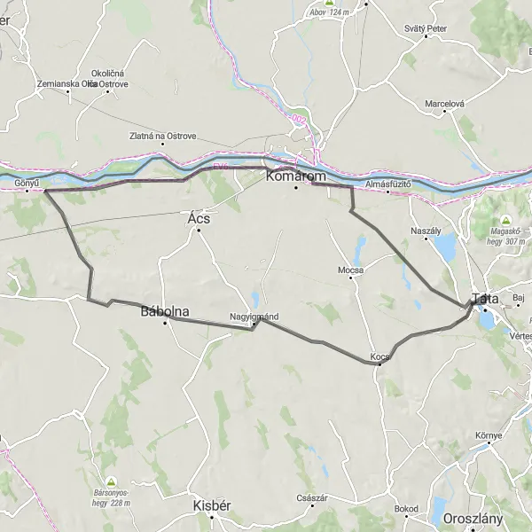
Embark on an epic road cycling journey through the picturesque landscapes and noteworthy attractions of Közép-Dunántúl.
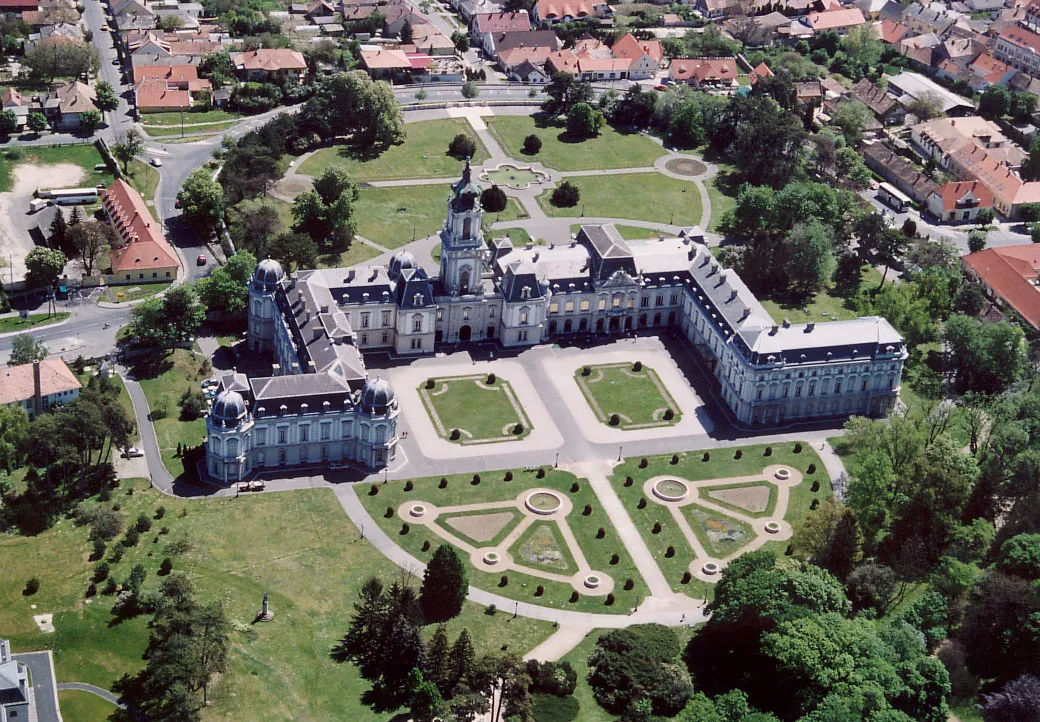
This road cycling route covers a distance of 109 kilometers with an elevation gain of 545 meters. Discover the beauty of Közép-Dunántúl as you pass through Tatai vár, Kálvária domb, Kanász-hegy, Bakonyszombathely, Öreg-hegy, Bábolna, Komárom, Csőszhegy, Esterházy-kúria, and Grébics-hegy. With several highlights along the way, including scenic viewpoints, historic sites, and charming villages, this route offers a well-rounded cycling experience for both intermediate and advanced riders.
Tata - Grébics-hegy Road Loop
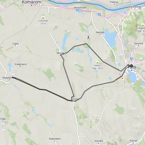
Experience the scenic beauty of Grébics-hegy on this road cycling route
This 54 km road route starting from Tata takes you through picturesque landscapes and offers stunning views of Grébics-hegy. With 217 meters of ascent, this is a moderately challenging route suitable for well-trained amateur cyclists. The highlights along the way include the Kálvária domb, a hill offering panoramic views, and Nagyigmánd, a village known for its cultural heritage. Overall, this route provides a delightful cycling experience with diverse scenery and interesting landmarks.
Tata - Új-hegy Loop

Experience the beauty of Új-hegy on this gravel cycling route
This 85 km gravel route starting from Tata takes you through picturesque landscapes and offers stunning views of the surrounding hills. With 1,210 meters of ascent, this is a moderately challenging route suitable for well-trained amateur cyclists. The highlights along the way include Új-hegy, a hill known for its natural beauty, Dunaszentmiklós, a charming village with historic buildings, and the Rozhľadňa Kravany nad Dunajom viewpoint. Overall, this route provides a fantastic cycling experience with diverse scenery and interesting landmarks.
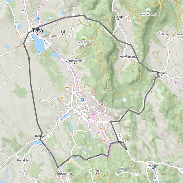
Embark on a challenging road cycling adventure, conquering steep ascents and reveling in the breathtaking vistas of Közép-Dunántúl
Prepare for an adrenaline-pumping ride as you ascend to new heights in Közép-Dunántúl. This 59-kilometer route showcases some of the region's most challenging climbs, including Agostyán, Agostyáni-hegy, Tarján, Hallgató, Felsőgalla, Nagy-Somlyó, Kálvária domb, and Esterházy-kastély. With an elevation gain of 565 meters, this route is tailored for experienced cyclists seeking a thrilling and rewarding adventure. Along the way, soak in the breathtaking panoramas, take in the natural beauty of the region, and savor the sense of accomplishment that comes with conquering legendary climbs.
Explore the Countryside by Road
Cycle through the peaceful countryside, where scenic beauty meets cultural highlights.
This road cycling route spans 91 kilometers with 261 meters of elevation gain, allowing riders to leisurely explore the picturesque countryside near Tata. Highlights along the way include Kálvária domb, Kocs, Bábolna, Nagyszentjános, Komárom, Esterházy-kúria, and Grébics-hegy. Enjoy the tranquility of the rural landscape and immerse yourself in the region's rich cultural heritage and well-preserved historical sites. With moderate difficulty, this route is suitable for amateur cyclists looking to experience the local countryside at a relaxed pace.
Tata - Sánc-hegy Gravel Loop
Experience the natural beauty of Sánc-hegy on this gravel cycling route
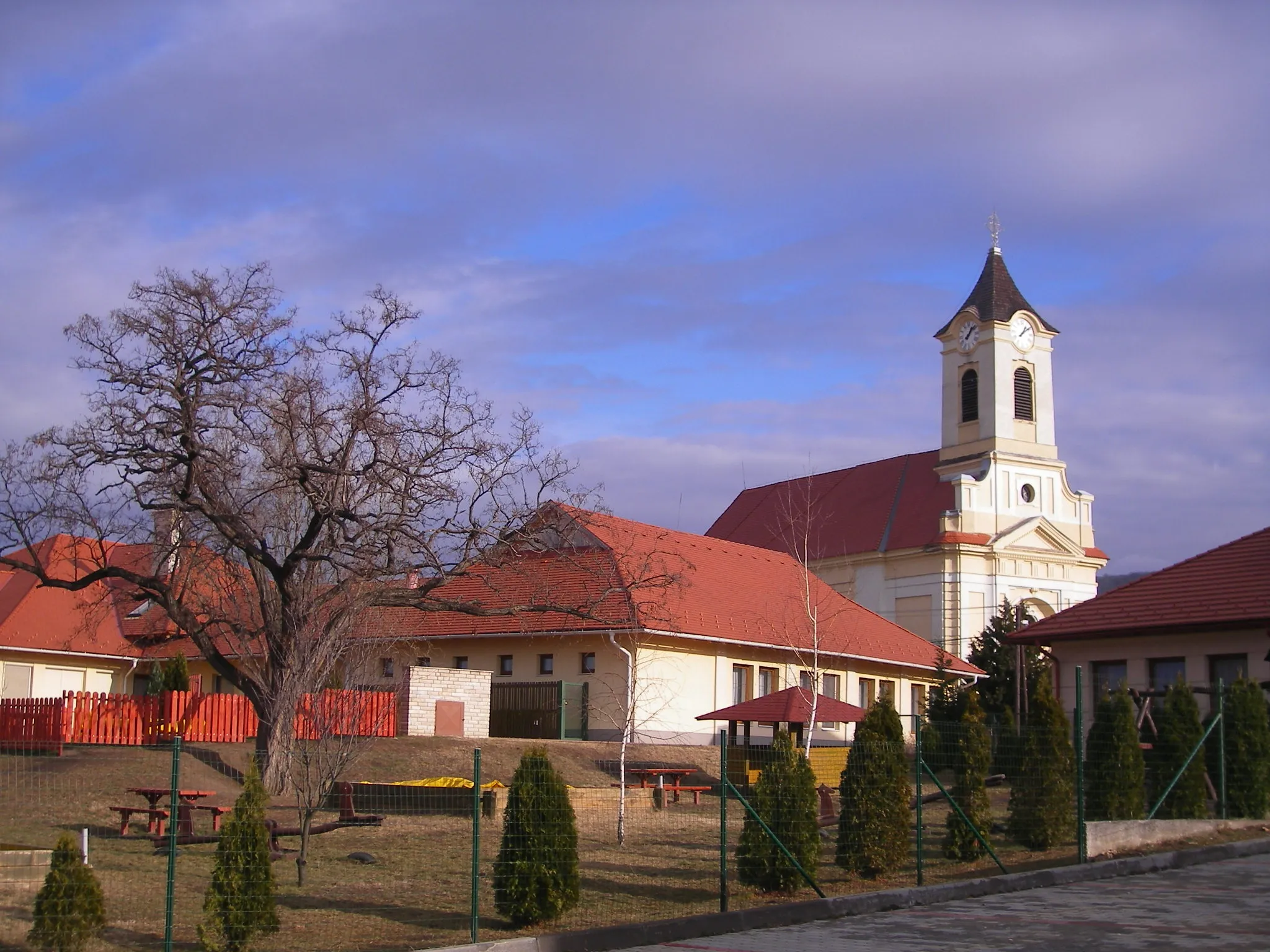
This 59 km gravel route starting from Tata takes you through diverse landscapes and offers stunning views of Sánc-hegy. With 388 meters of ascent, this is a moderately challenging route suitable for well-trained amateur cyclists. The highlights along the way include Tatabánya, an industrial town with an interesting mining history, and Vértesszőlős, a village known for its archaeological importance. Overall, this route provides a unique cycling experience with a mix of urban and natural attractions.
Cycling routes nearby:


Nearby regions: