Climb to New Heights in Közép-Dunántúl
A road cycling route starting from Tata
Embark on a challenging road cycling adventure, conquering steep ascents and reveling in the breathtaking vistas of Közép-Dunántúl
Map
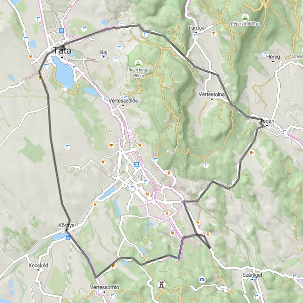
Prepare for an adrenaline-pumping ride as you ascend to new heights in Közép-Dunántúl. This 59-kilometer route showcases some of the region's most challenging climbs, including Agostyán, Agostyáni-hegy, Tarján, Hallgató, Felsőgalla, Nagy-Somlyó, Kálvária domb, and Esterházy-kastély. With an elevation gain of 565 meters, this route is tailored for experienced cyclists seeking a thrilling and rewarding adventure. Along the way, soak in the breathtaking panoramas, take in the natural beauty of the region, and savor the sense of accomplishment that comes with conquering legendary climbs.
road
59 km
565 m
Savage
Route profile
Highlights on the route
0 km
0 km
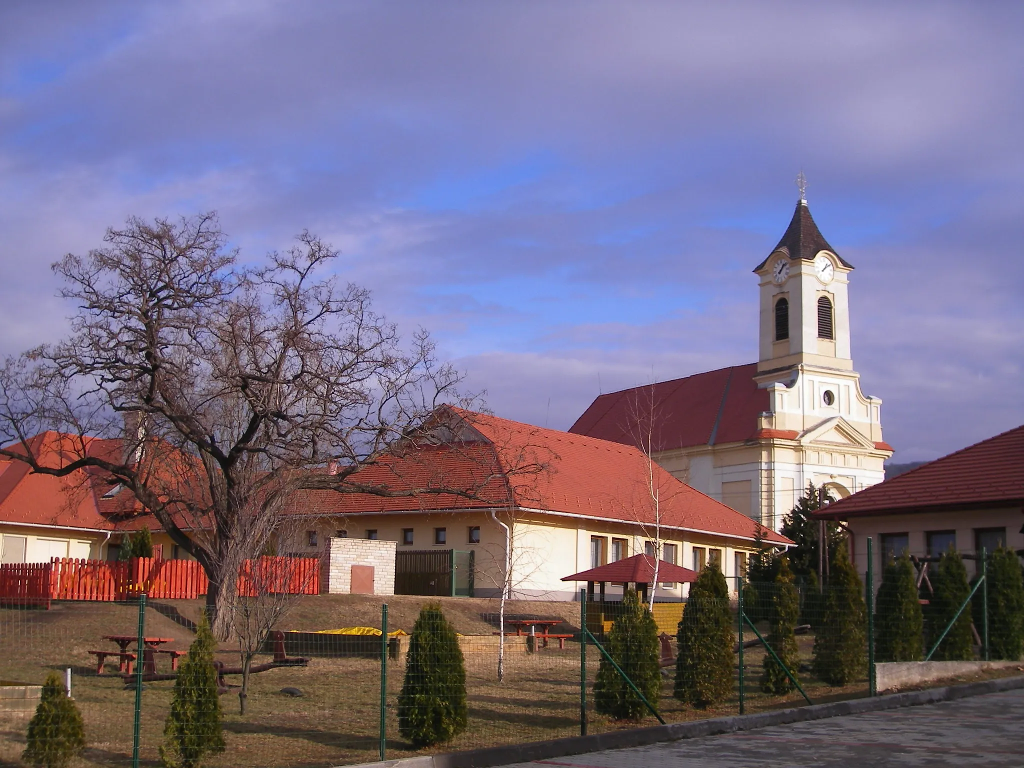
Start: Tata City centerTata: Tata - Exploring the beauty of Közép-Dunántúl on two wheels
Tata is a locality located in the Közép-Dunántúl region of Hungary. It offers moderate opportunities for road and gravel cycling. Cyclists can enjoy beautiful scenery and moderate routes in Tata. While there are no famous cycling spots or well-known climbs in the immediate vicinity, the region offers picturesque landscapes and cultural attractions. Tourists can explore the nearby attractions and natural beauty of Közép-Dunántúl while visiting Tata.4 km
4 km
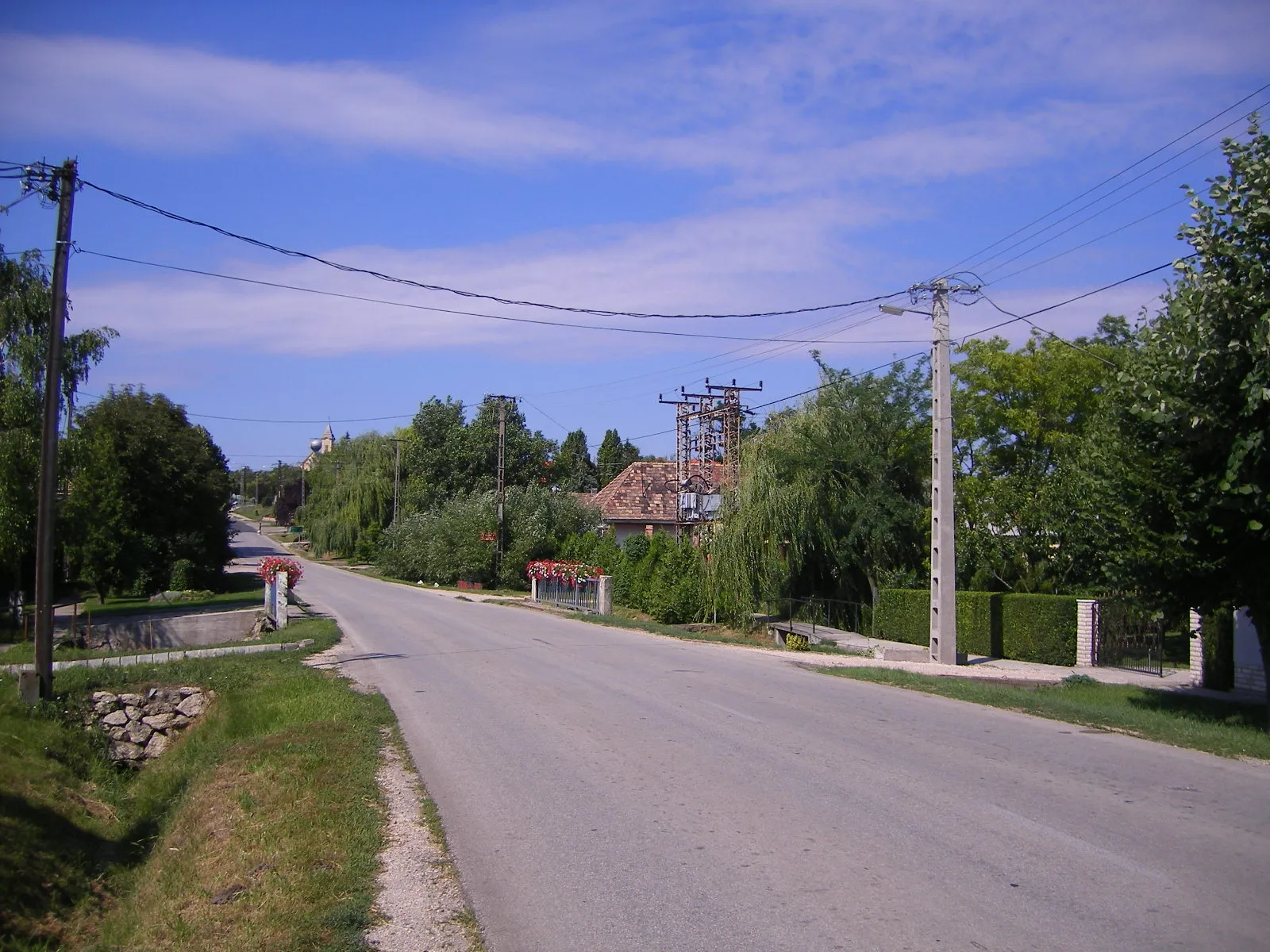
AgostyánSub-urbAgostyán challenges cyclists with its steep ascent and provides a sense of accomplishment upon reaching the summit.
7 km
7 km
Agostyáni-hegy435 mPeakAgostyáni-hegy rewards riders with panoramic vistas of the surrounding landscapes, offering a moment of appreciation for the challenging climb.
17 km
17 km
TarjánVillageTarján features scenic roads that wind through picturesque landscapes, providing a scenic backdrop for a memorable cycling experience.
22 km
22 km
Hallgató235 mPeakHallgató offers an adrenaline-filled descent after a demanding climb, creating a thrilling experience for cyclists.
31 km
31 km
FelsőgallaSub-urbFelsőgalla showcases stunning vistas of the rolling hills, enabling cyclists to admire the region's natural beauty.
40 km
40 km
Nagy-Somlyó315 mPeakNagy-Somlyó presents a challenging climb rewarded with unparalleled views of the countryside, making it a must-visit highlight for experienced cyclists.
55 km
55 km
Kálvária domb166 mPeakKálvária domb stands out as a prominent hill with expansive views, allowing riders to appreciate the scope and beauty of the surrounding landscape.
56 km
56 km
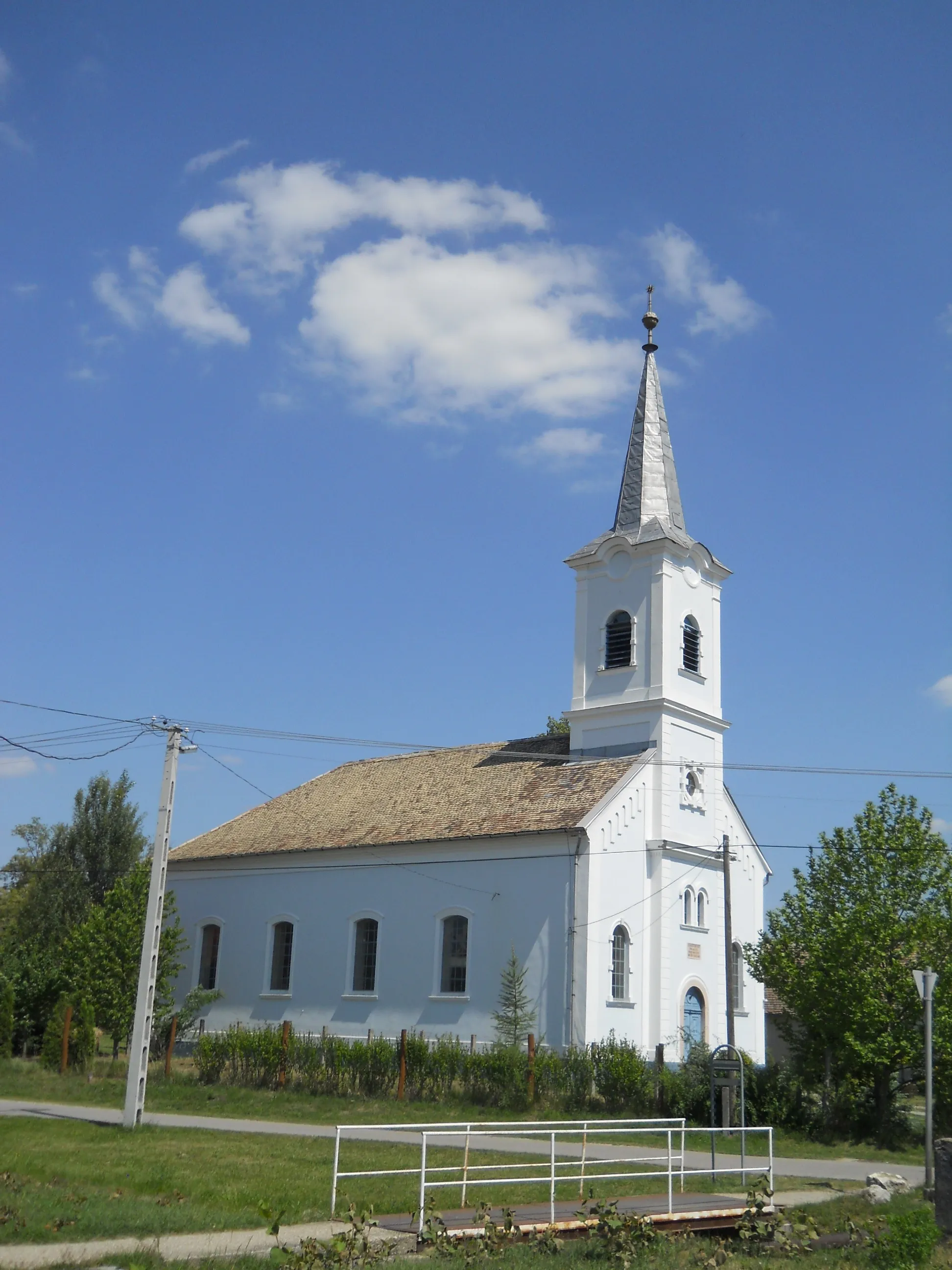
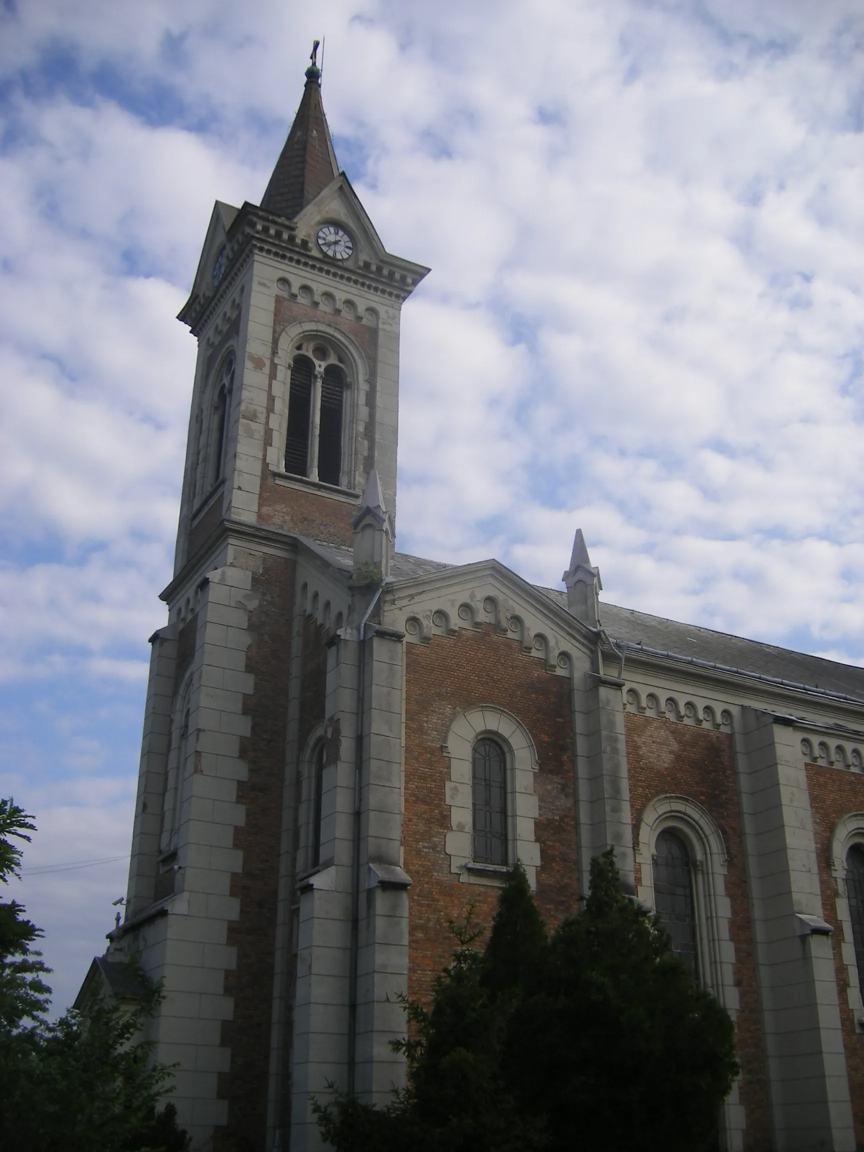
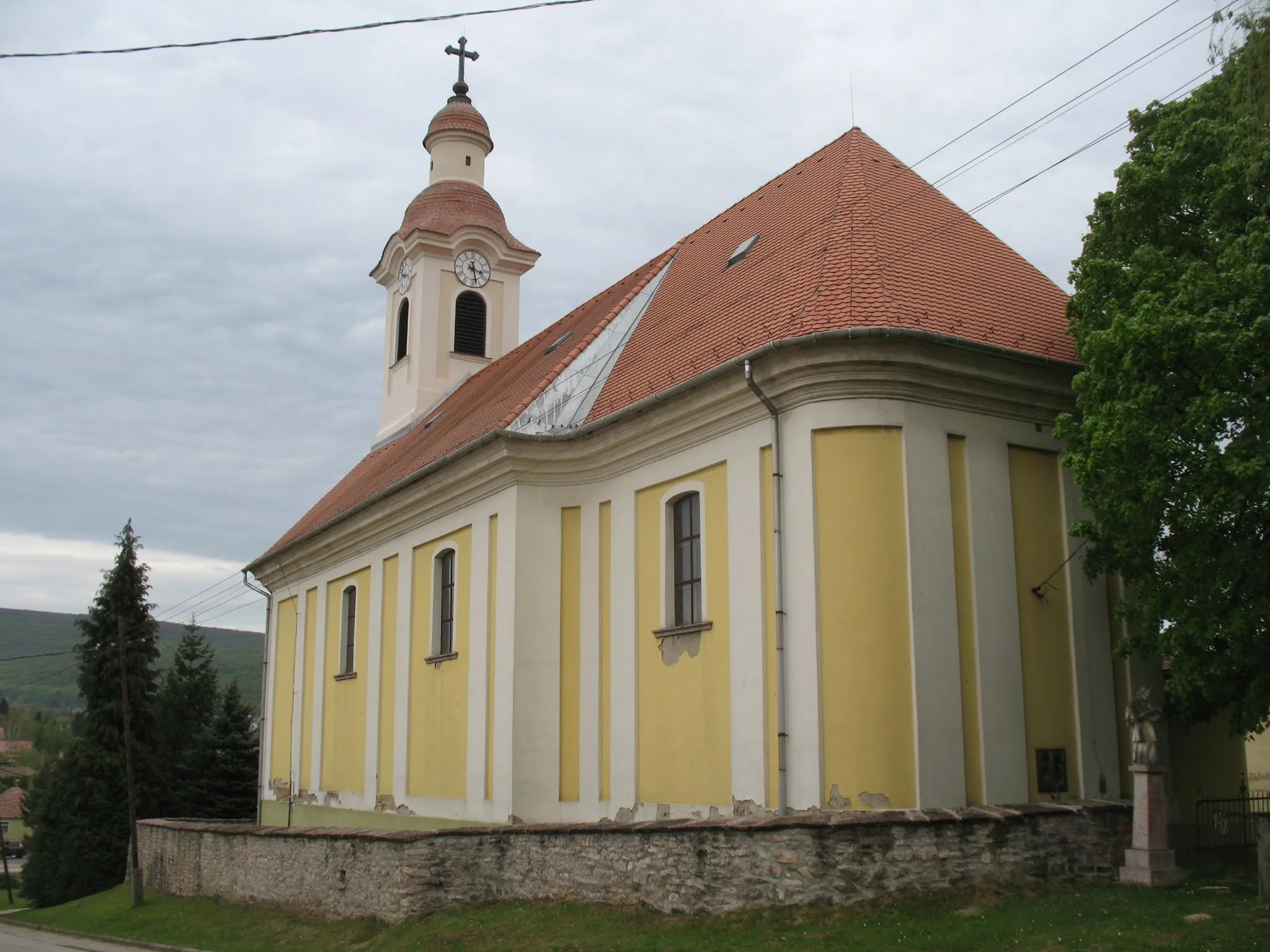
Esterházy-kastélyCastleEsterházy-kastély delights cyclists with its elegant architecture and provides a cultural glimpse into the region's history.
59 km
59 km
Finish: Tata City centerTata: Tata - Exploring the beauty of Közép-Dunántúl on two wheels
Cycling routes from Tata:
The Mountains and Castles of Tata The Great Rides of Közép-Dunántúl Explore the Countryside by Road Climb to New Heights in Közép-Dunántúl Discover the Beauty of Dunaszentmiklós Tata - Új-hegy Loop Tata - Szomód Gravel Loop Tata - Grébics-hegy Road Loop Tata - Sánc-hegy Gravel Loop Tata - Kálvária domb Road Loop
Cycling routes nearby: