Tata - Sánc-hegy Gravel Loop
A gravel cycling route starting from Tata
Experience the natural beauty of Sánc-hegy on this gravel cycling route
Map
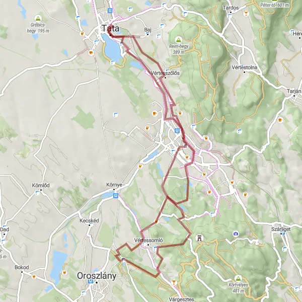
This 59 km gravel route starting from Tata takes you through diverse landscapes and offers stunning views of Sánc-hegy. With 388 meters of ascent, this is a moderately challenging route suitable for well-trained amateur cyclists. The highlights along the way include Tatabánya, an industrial town with an interesting mining history, and Vértesszőlős, a village known for its archaeological importance. Overall, this route provides a unique cycling experience with a mix of urban and natural attractions.
gravel
59 km
388 m
Tough
Route profile
Highlights on the route
0 km
0 km
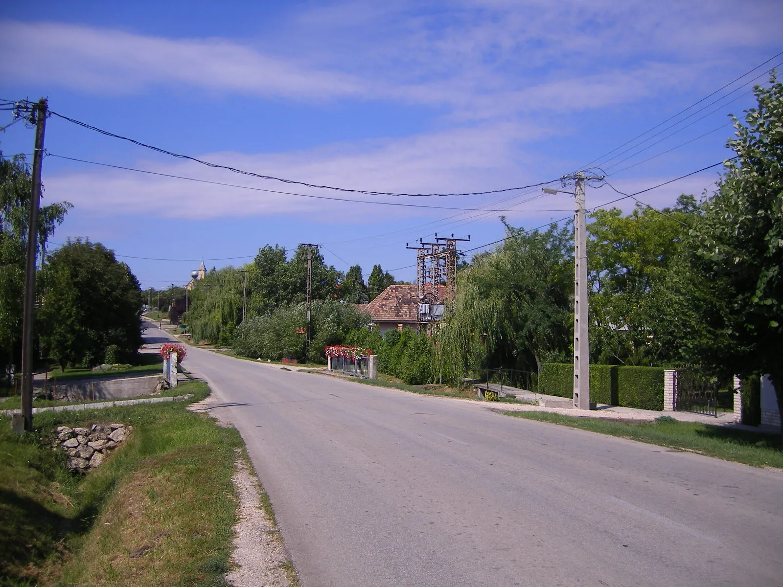
Start: Tata City centerTata: Tata - Exploring the beauty of Közép-Dunántúl on two wheels
Tata is a locality located in the Közép-Dunántúl region of Hungary. It offers moderate opportunities for road and gravel cycling. Cyclists can enjoy beautiful scenery and moderate routes in Tata. While there are no famous cycling spots or well-known climbs in the immediate vicinity, the region offers picturesque landscapes and cultural attractions. Tourists can explore the nearby attractions and natural beauty of Közép-Dunántúl while visiting Tata.11 km
11 km
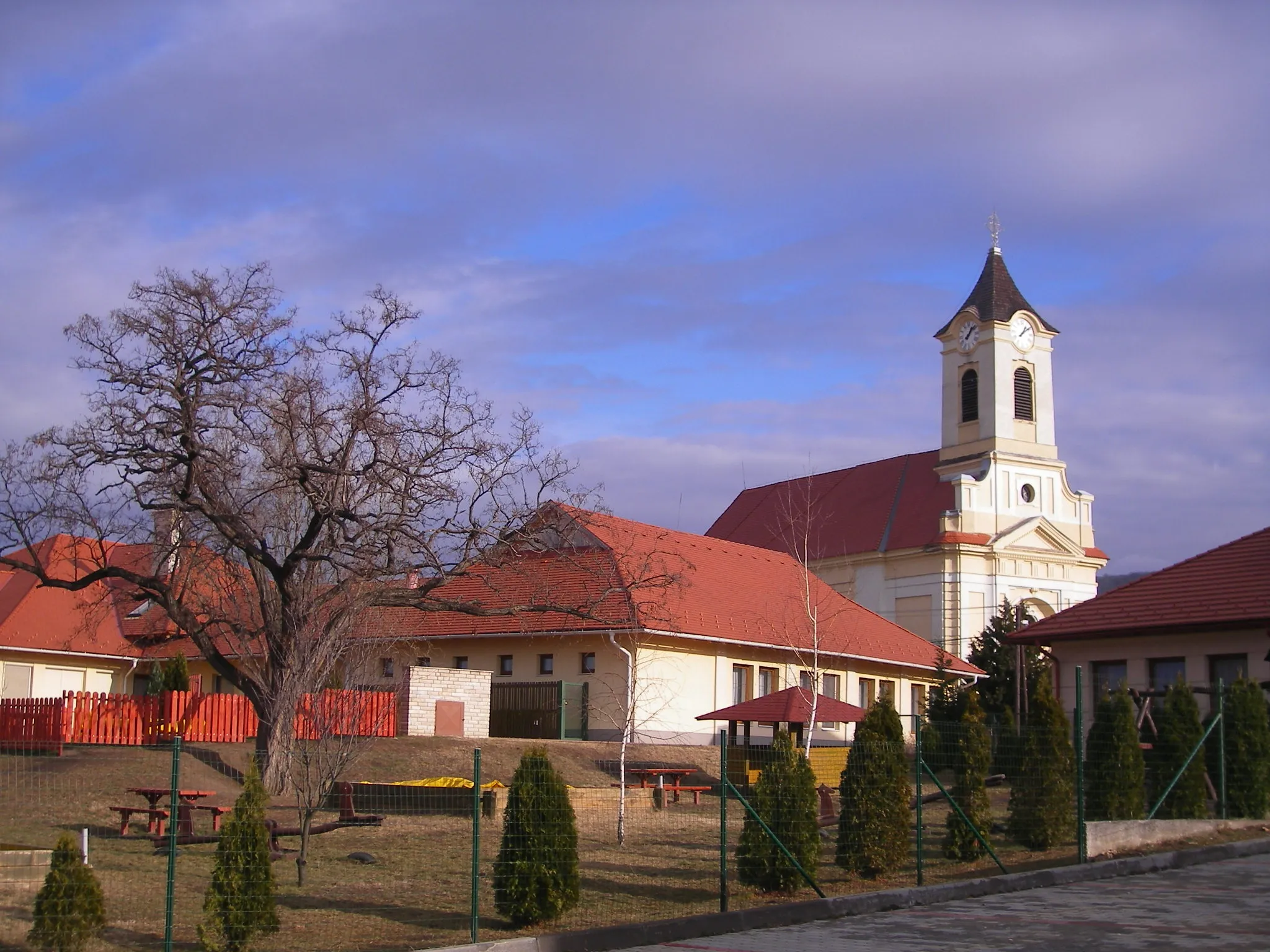
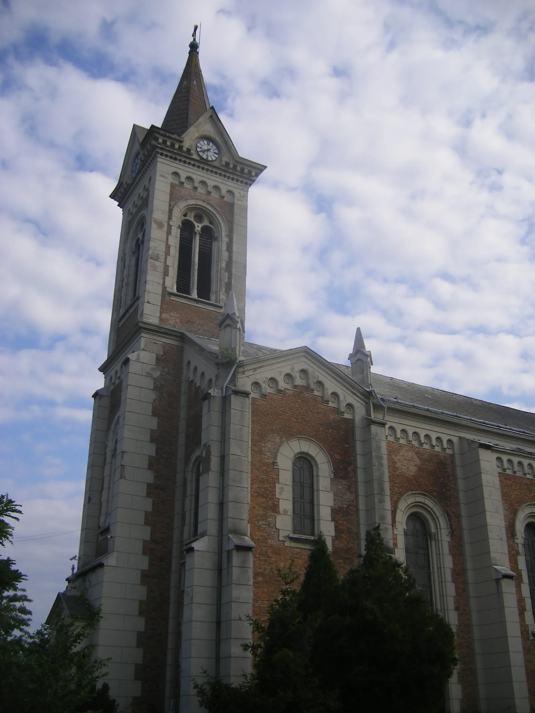
TatabányaCityVisit Tatabánya, a town with a rich mining heritage and explore its intriguing industrial landscape.
22 km
22 km
Nagy-Somlyó315 mPeakClimb up Nagy-Somlyó and enjoy panoramic views of the surrounding countryside.
33 km
33 km
Kálvária-hegy256 mPeakDiscover the Kálvária-hegy, a hill known for its religious importance and beautiful views.
36 km
36 km
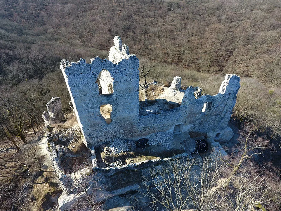
VitányvárCastle RuinsExplore Vitányvár, a medieval castle ruins surrounded by lush greenery.
44 km
44 km
BánhidaSub-urbPass through Bánhida, a village with a charming atmosphere and traditional Hungarian architecture.
47 km
47 km
TerraceViewpointVisit Terrace, a small community with breathtaking views of the surrounding landscape.
52 km
52 km
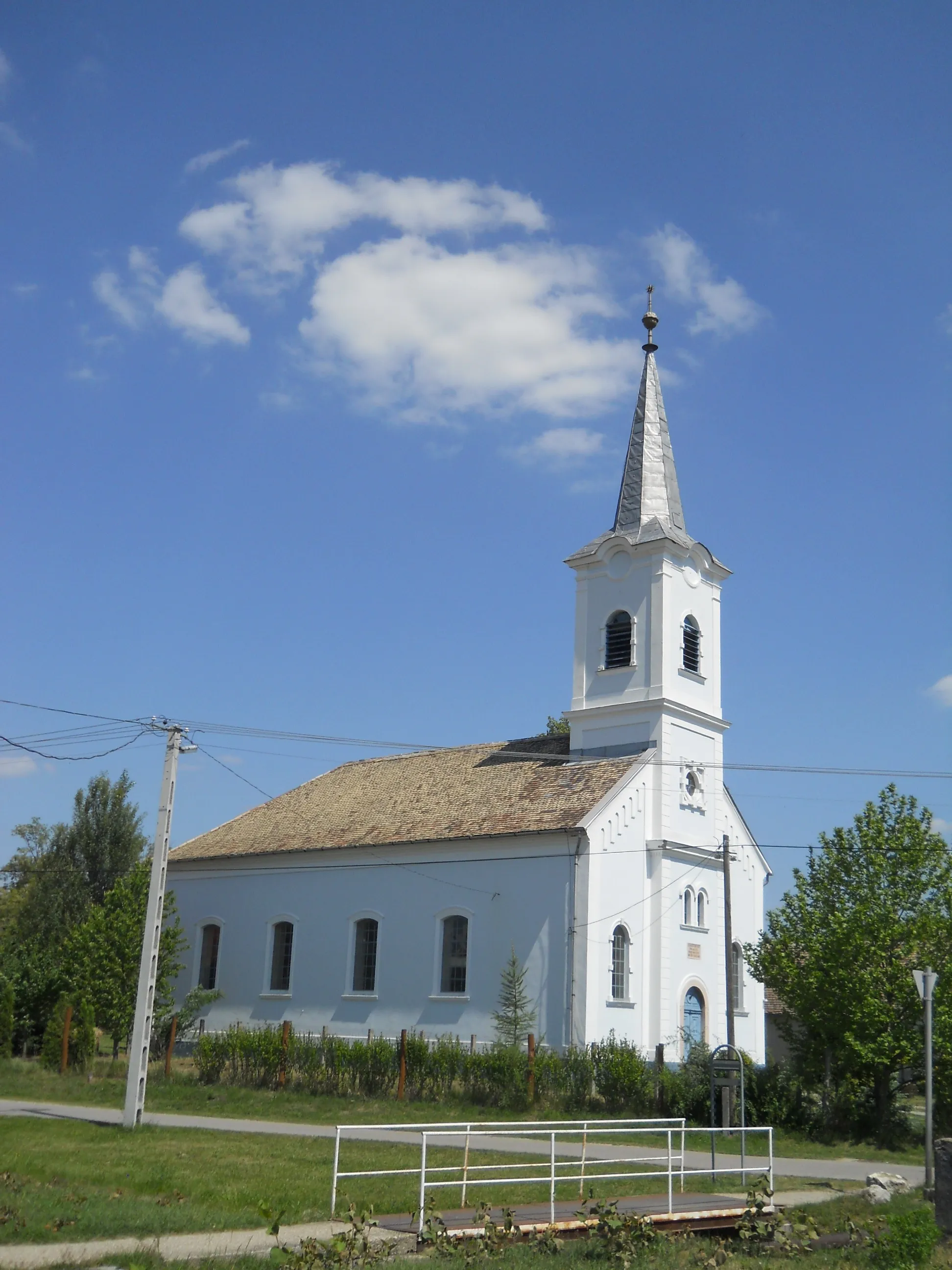
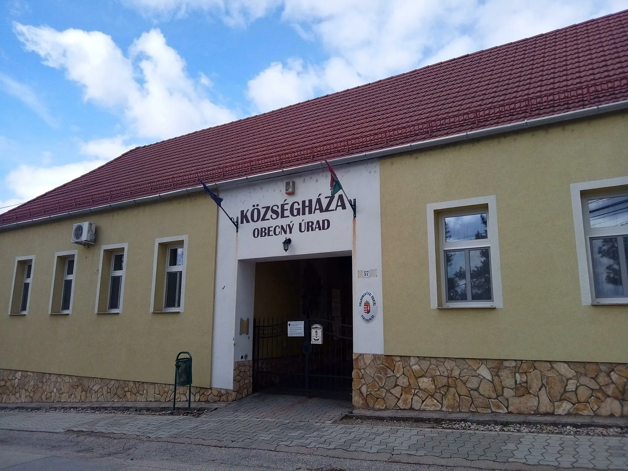
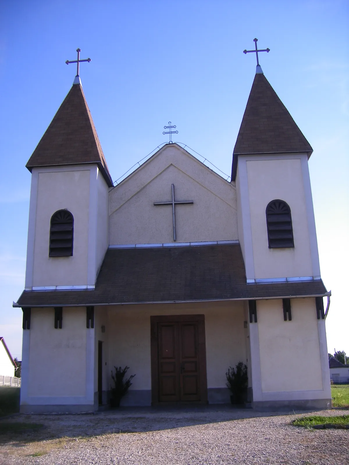
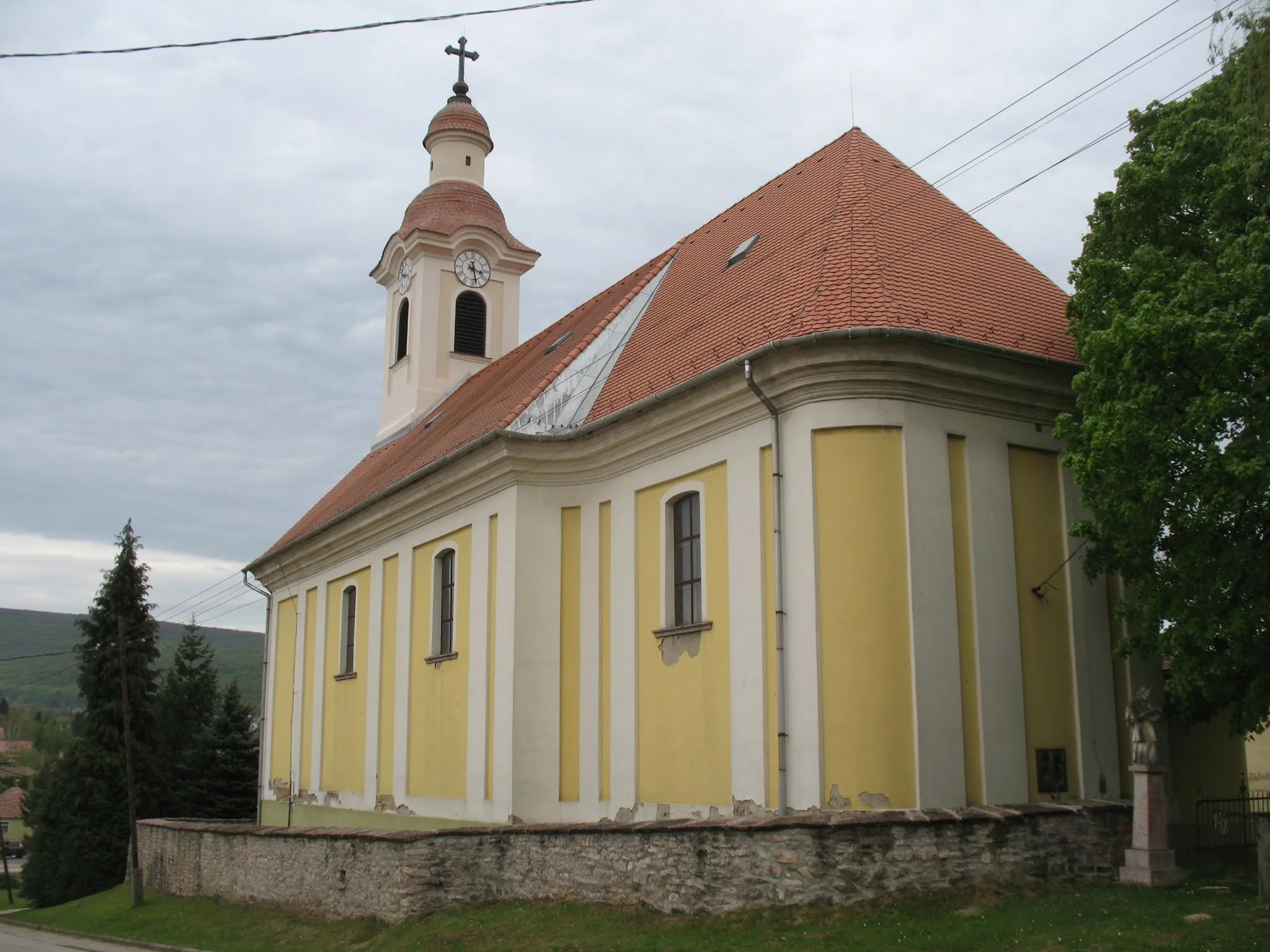
VértesszőlősVillageAdmire the archaeological site of Vértesszőlős, famous for its Paleolithic artifacts.
54 km
54 km
Sánc-hegy160 mPeakCycle alongside the scenic Sánc-hegy, a hill covered in forests and offering beautiful views of the region.
59 km
59 km
Finish: Tata City centerTata: Tata - Exploring the beauty of Közép-Dunántúl on two wheels
Cycling routes from Tata:
The Mountains and Castles of Tata The Great Rides of Közép-Dunántúl Explore the Countryside by Road Climb to New Heights in Közép-Dunántúl Discover the Beauty of Dunaszentmiklós Tata - Új-hegy Loop Tata - Szomód Gravel Loop Tata - Grébics-hegy Road Loop Tata - Sánc-hegy Gravel Loop Tata - Kálvária domb Road Loop
Cycling routes nearby: