Experience the scenic landscapes and conquer Naszály Mountain in the Közép-Dunántúl region.
Cycling routes from Naszaly
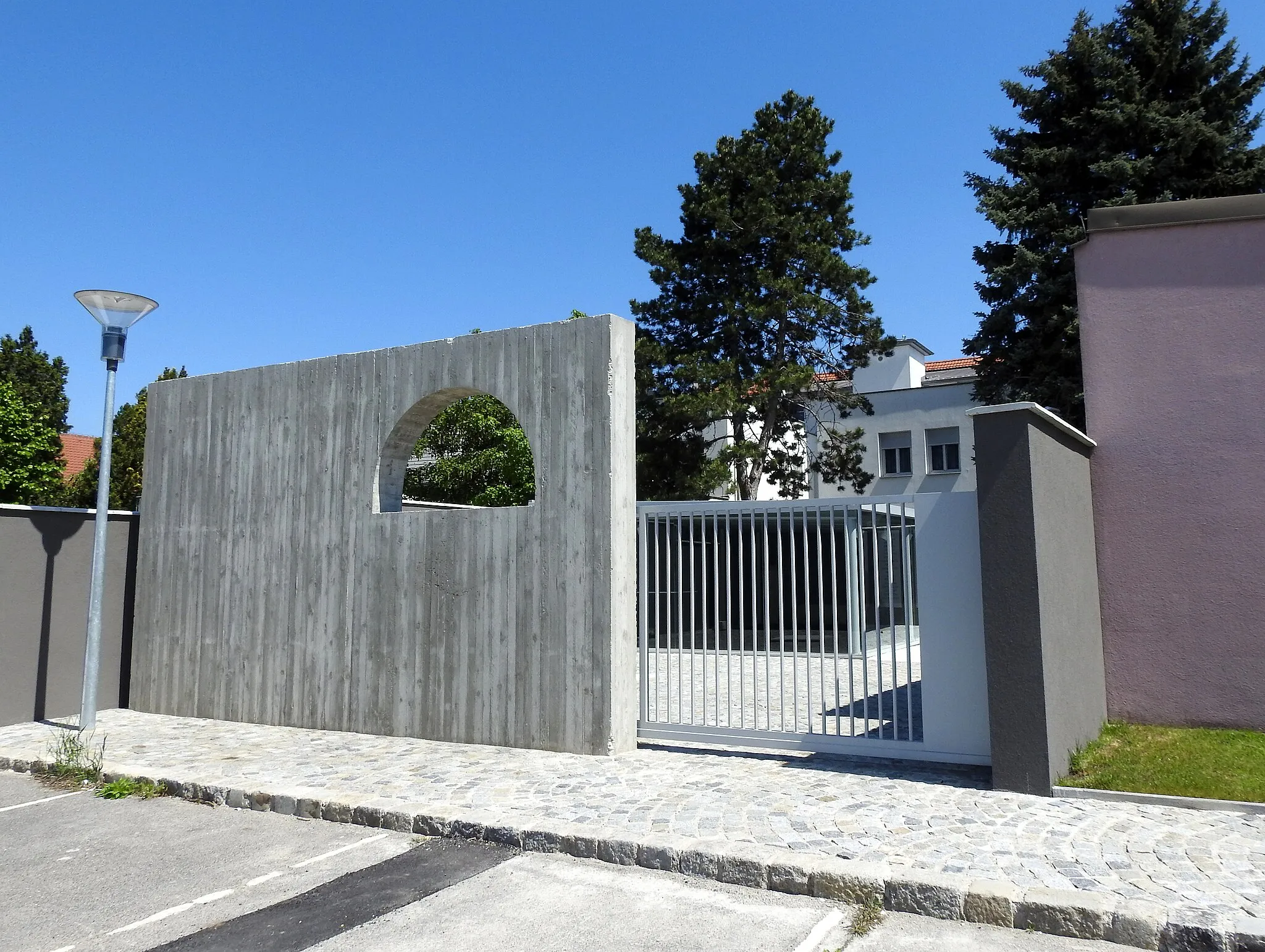
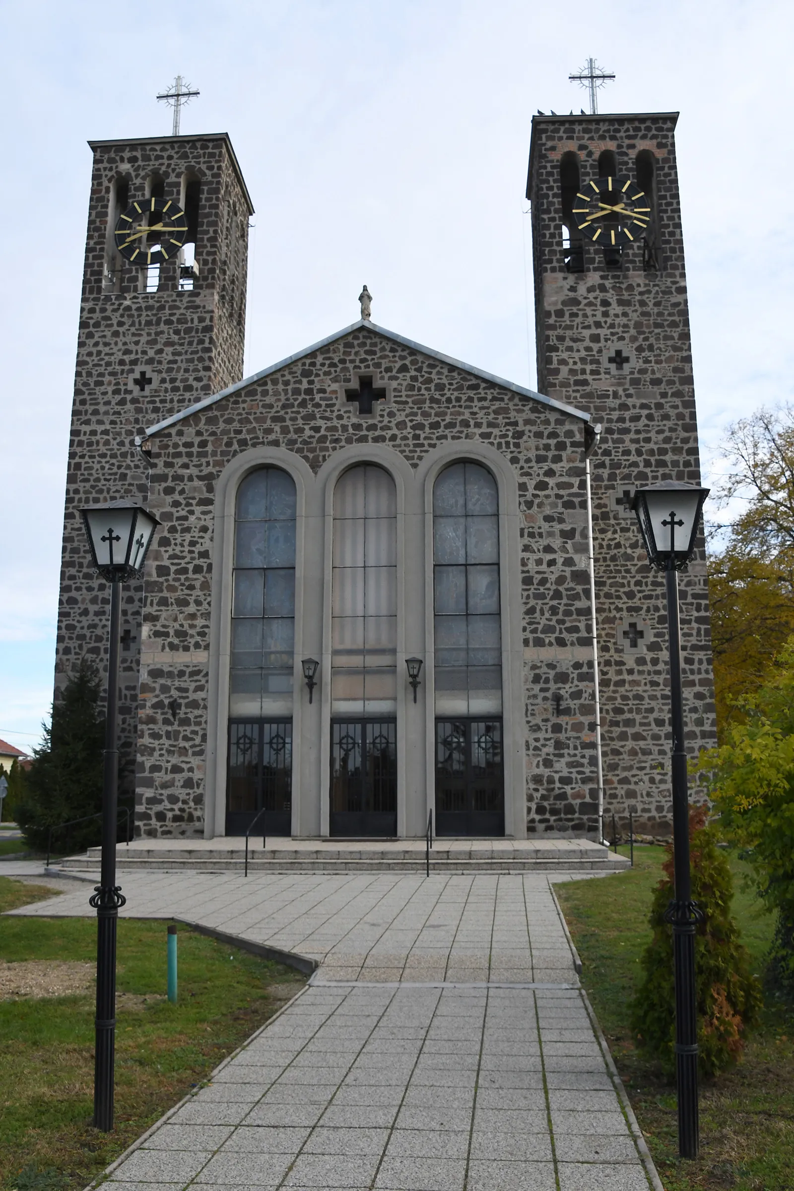
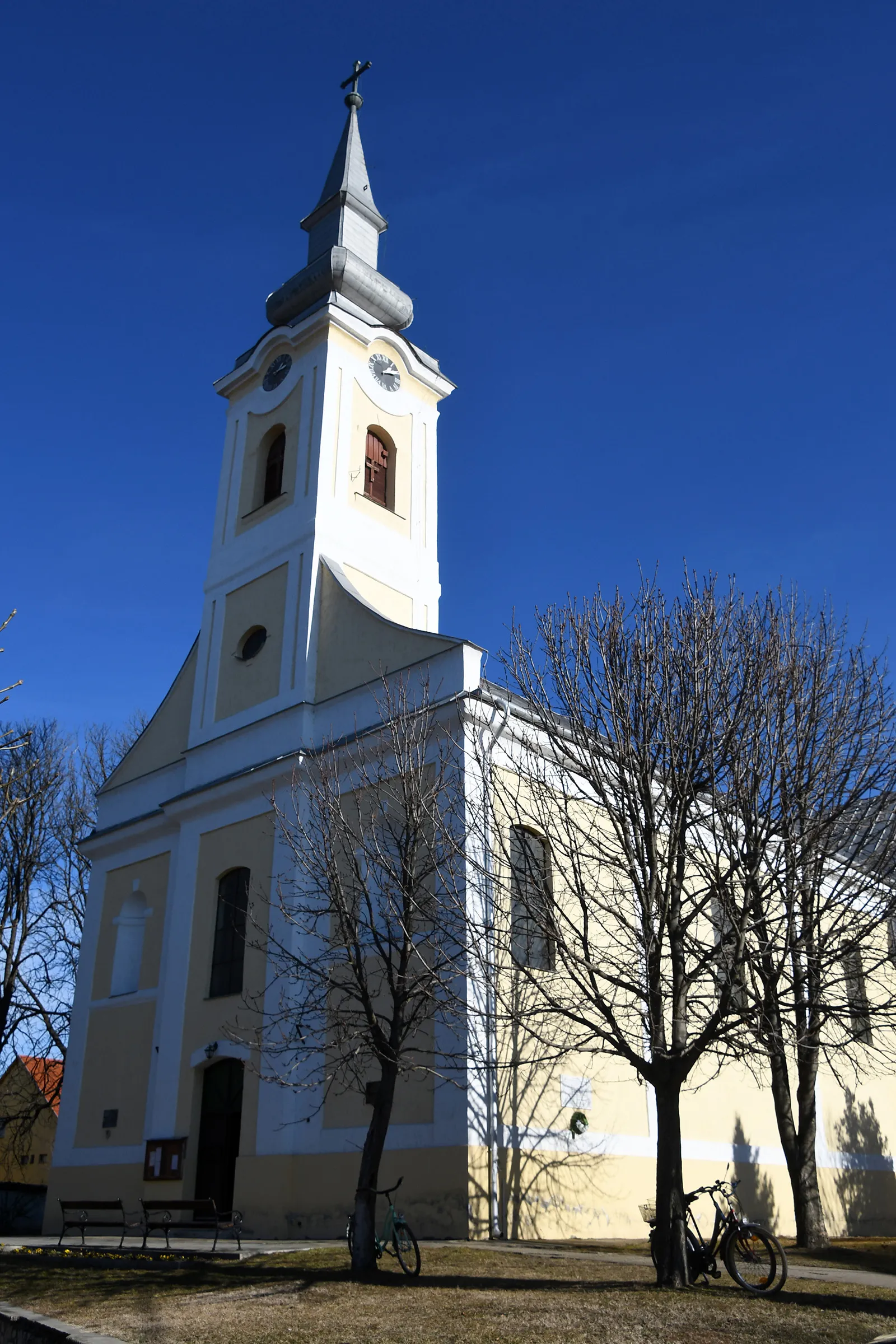
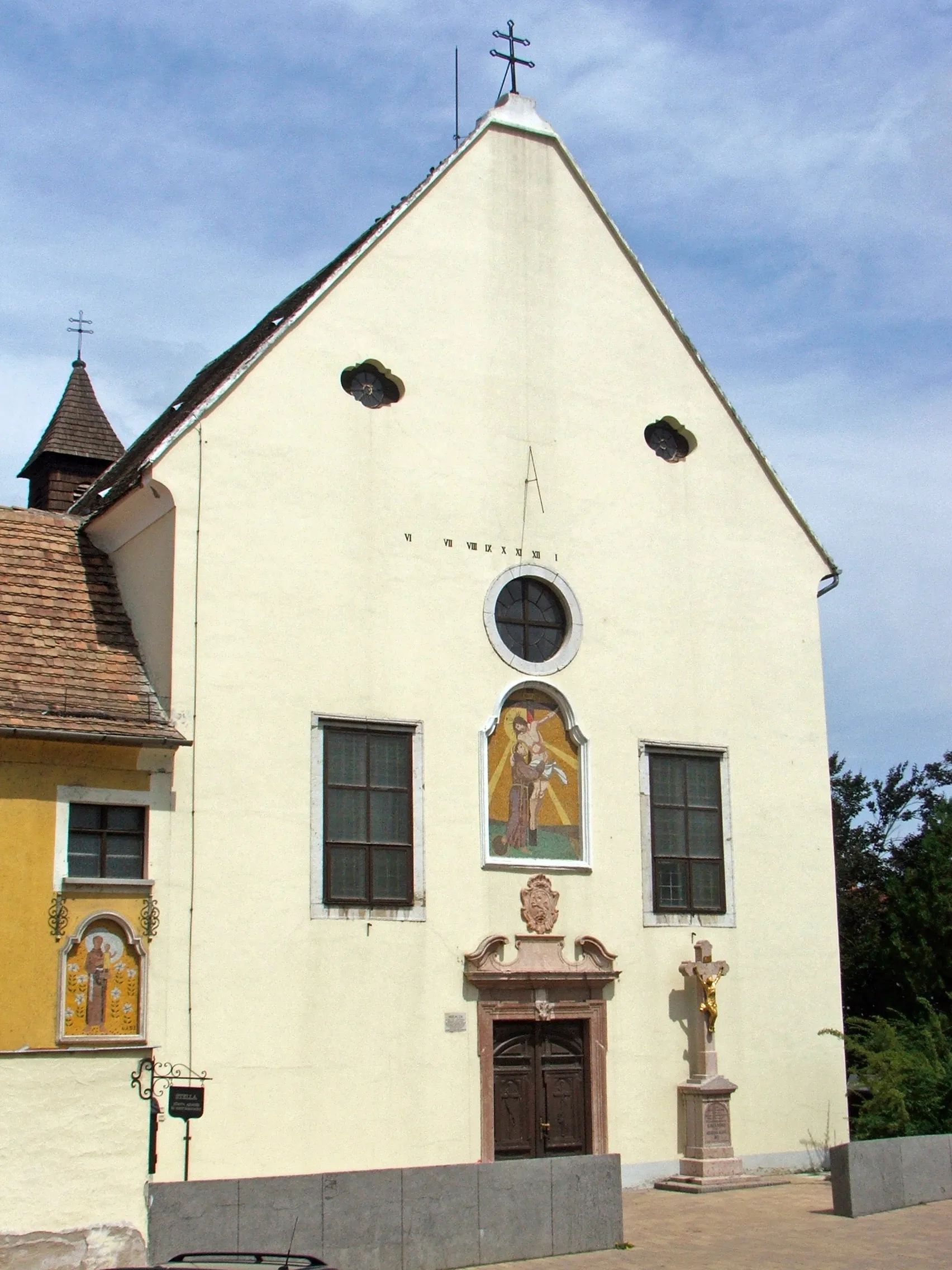
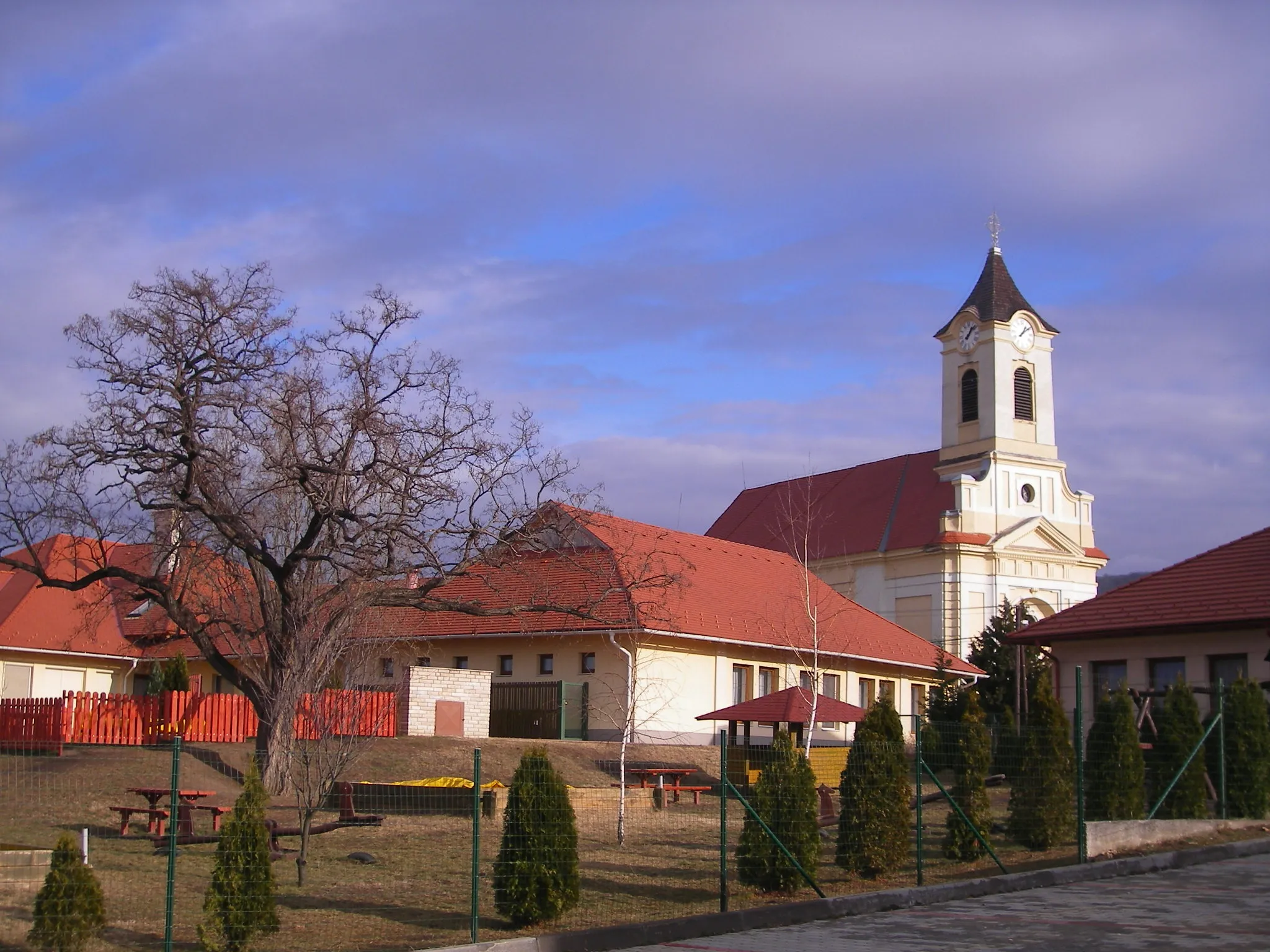
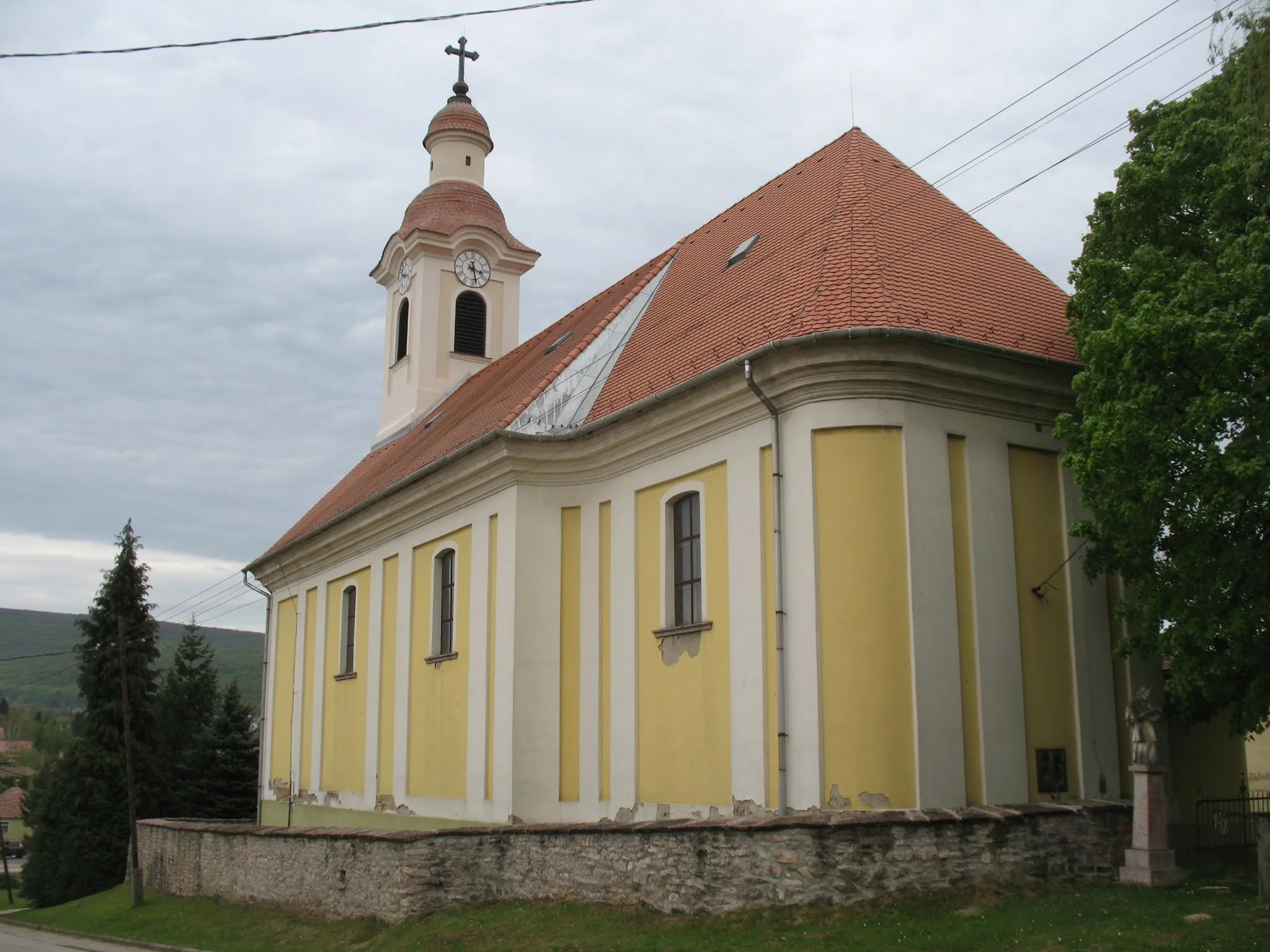
Naszály is situated in the Közép-Dunántúl region of Hungary. From a cyclist's standpoint, Naszály offers a diverse terrain with both flat and hilly sections, making it suitable for road and gravel cycling. The area is characterized by picturesque landscapes, including vineyards and rolling hills. Cyclists can enjoy scenic routes and stunning views while exploring the region. Notable nearby cycling spots include the Naszály Mountain, which provides a challenging climb for experienced cyclists.
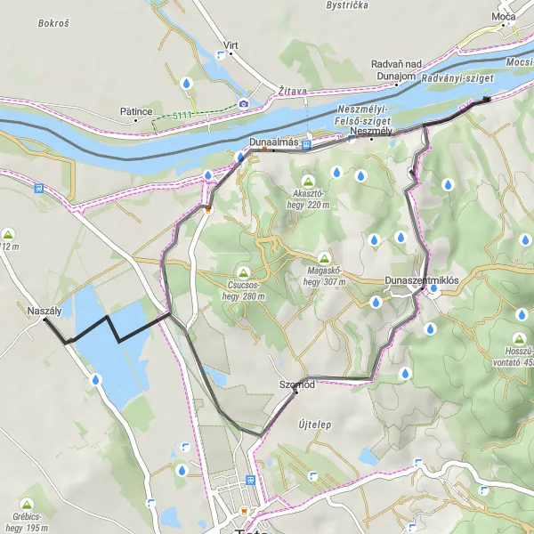
With stunning hilltop views and a challenging ascent, this gravel route starting near Naszály offers a thrilling off-road adventure.
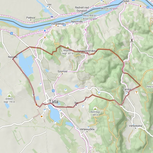
This 42 km gravel route near Naszály takes cyclists on a journey through diverse landscapes, featuring expansive views of Köpite-hegy, picturesque villages like Dunaszentmiklós, and the rugged terrain of Bagoly-hegy. The challenging ascent of 540 meters adds an exciting element to the ride, making it suitable for experienced riders looking for a thrilling off-road experience. The epicness rating of this route is 3, as it offers unique highlights and scenic beauty, but does not reach legendary or famous cycling spots. Overall, this distinct route provides amateurs with an exhilarating gravel cycling experience in the Közép-Dunántúl region of Hungary.
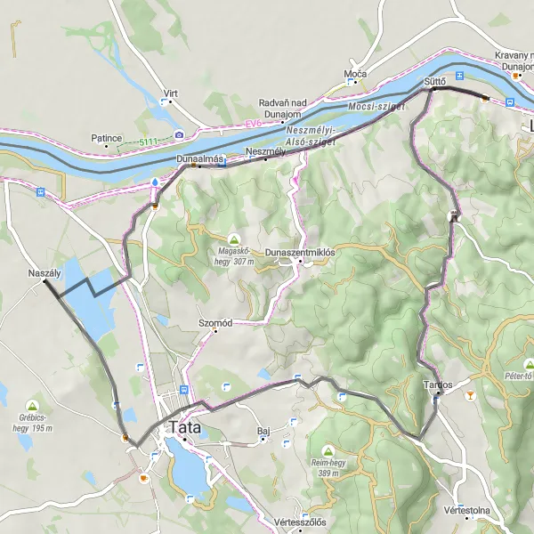
Experience the scenic beauty of the Tardos region on this road cycling adventure
Immerse yourself in the scenic beauty of the Tardos region with this road cycling route. Covering a distance of 92 kilometers with a total ascent of 563 meters, this challenging ride will take you through enchanting landscapes, historic landmarks, and picturesque villages. Get ready to be captivated by the natural beauty of the Közép-Dunántúl region.
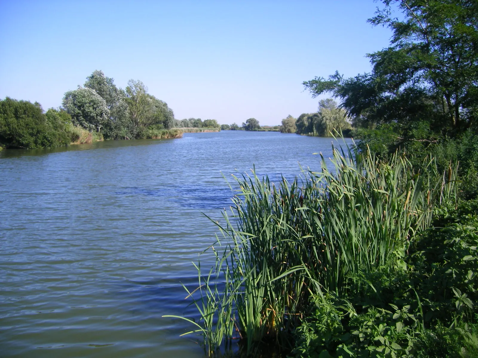
Cycle along the riverbanks experiencing the beauty of the countryside and discovering historic landmarks.
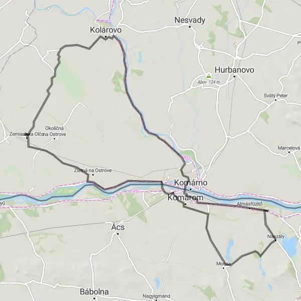
This 99 km road route near Naszály takes cyclists on a picturesque journey along the river, offering breathtaking views of the countryside and visiting historic landmarks. With a moderate ascent of 69 meters, the route is suitable for amateur road cyclists seeking both scenic beauty and cultural attractions. Highlights include the charming hilltop village of Csőszhegy, the well-preserved Igmándi Erőd fortress, and the picturesque towns of Zemianska Olča and Kolárovo with their rich history and architectural heritage. Europe Place, located at a distance of 83 kilometers, is a must-visit for cycling enthusiasts, offering a symbolic midpoint between the extreme points of continental Europe. Molaj, situated at the 91-kilometer mark, provides a serene riverside setting and a perfect spot for relaxation. Overall, this route provides a diverse mix of natural beauty, historical sites, and cultural discoveries.
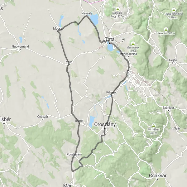
Uncover the hidden gems of the Közép-Dunántúl region on this road cycling adventure
Discover the lesser-known attractions and natural wonders of the Közép-Dunántúl region with this road cycling route. With a distance of 86 kilometers and a total ascent of 310 meters, this moderate-level ride takes you through picturesque landscapes, historic landmarks, and charming villages.
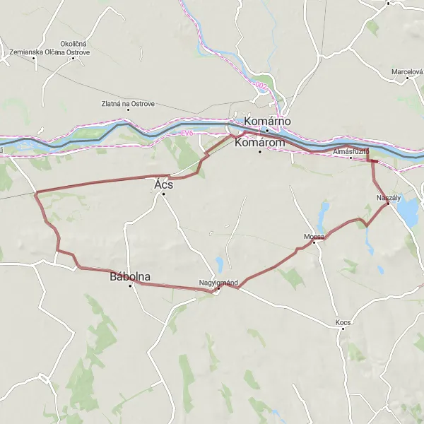
This gravel route from Mocsa takes cyclists through picturesque countryside landscapes and beautiful rural villages.
Starting in Mocsa, this 74 km gravel route takes riders through scenic countryside landscapes and charming rural villages. With only 105 meters of ascent, this route is suitable for moderately experienced cyclists looking to enjoy the beauty of the Közép-Dunántúl region. Highlights along the way include the picturesque village of Bábolna with its horse-breeding tradition, Nagyszentjános known for its historic architecture, and the Csillagerőd ruins, which offer a glimpse into Hungary's past. The epicness rating of this route is 2, as it offers pleasant and enjoyable scenery, but does not feature any particularly legendary or famous spots. Overall, this route provides an opportunity to discover the rural beauty of the area while enjoying a peaceful and leisurely ride.
Exploring the Hills of Süttő
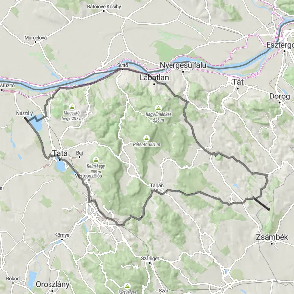
Embark on a scenic cycling journey through the hills of Süttő
Discover the stunning beauty of the Süttő region with this round-trip cycling route. Suitable for road bikes, the route covers a distance of 105 kilometers and includes a total ascent of 821 meters. This challenging ride takes you through picturesque landscapes, charming villages, and offers magnificent views from the hilltops.
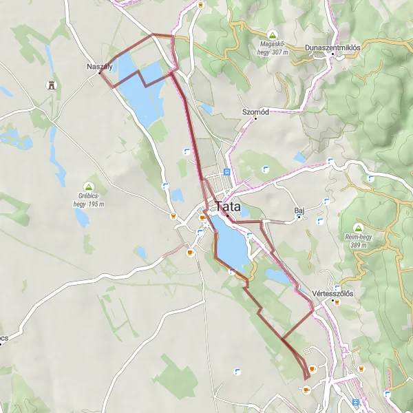
Embark on a historical journey through time with this gravel route featuring ancient castles and captivating landscapes.
This 38 km gravel route near Naszály takes cyclists on a historical journey through the Közép-Dunántúl region, passing by ancient castles and medieval sites. With a moderate ascent of 127 meters, this route offers a delightful mix of cultural and natural attractions. Highlights include the impressive Tata Castle, a well-preserved fortress overlooking a scenic lake, Kálvária domb with its hilltop calvary offering panoramic views, and the historic town of Tata with its beautiful architecture and rich history. The epicness rating of this route is 3, due to its focus on historical landmarks and dramatic landscapes. Overall, this route is recommended for amateur cyclists with an interest in history and cultural heritage, seeking a moderate challenge amidst captivating scenery.
Dunaalmás Loop
Along the scenic Danube River, this route showcases the beauty of Dunaalmás and its surrounding areas.
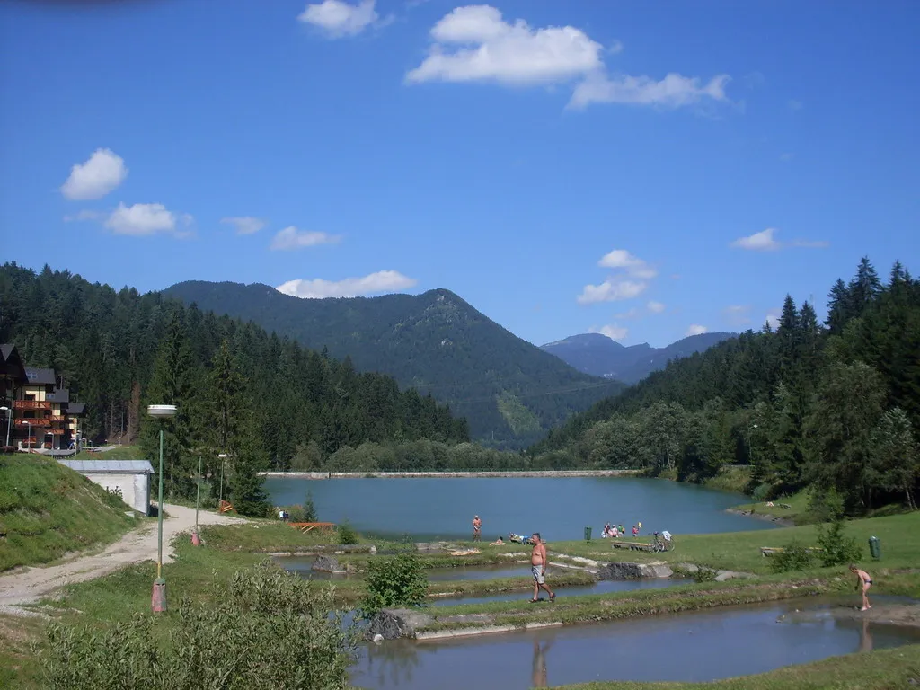
The Dunaalmás Loop is a picturesque cycling route that takes you along the Danube River. With a distance of 35 km and an ascent of 235 m, this route is suitable for intermediate cyclists. The route passes through Dunaalmás, a charming town known for its historic buildings and peaceful atmosphere. Highlights along the way include the Akasztó-hegy lookout point, which offers stunning views of the surrounding landscape, and the Meleges-hegy hill, where you can stop to admire the beautiful nature. Another not-to-be-missed highlight is the Madármegfigyelő-ház, a birdwatching house where you can observe various bird species in their natural habitat.
Experience exhilarating climbs and thrilling descents on this road route featuring scenic viewpoints and challenging ascents.
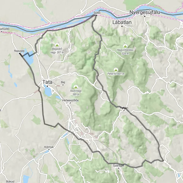
This 55 km road route starting near Naszály offers an exhilarating adventure for road cyclist enthusiasts. With a challenging ascent of 362 meters, the route provides opportunities to push your limits and enjoy satisfying climbs accompanied by rewarding descents. Highlights along the way include Dunaalmás, a charming village known for its soothing atmosphere and serene river views, Akasztó-hegy with its panoramic viewpoints, and Süttő, a tranquil hamlet offering picturesque landscapes. Tardos, situated at the 35-kilometer mark, treats cyclists with its quaint streets and historic buildings. Agostyáni-hegy, at 39 kilometers, presents a considerably challenging climb, rewarded with a spectacular view from the top. Tóváros, found at 47 kilometers, allows for a peaceful break near a tranquil lake. With an epicness rating of 4, this route offers cycling enthusiasts a thrilling adventure complemented by beautiful landscapes and challenging ascents.
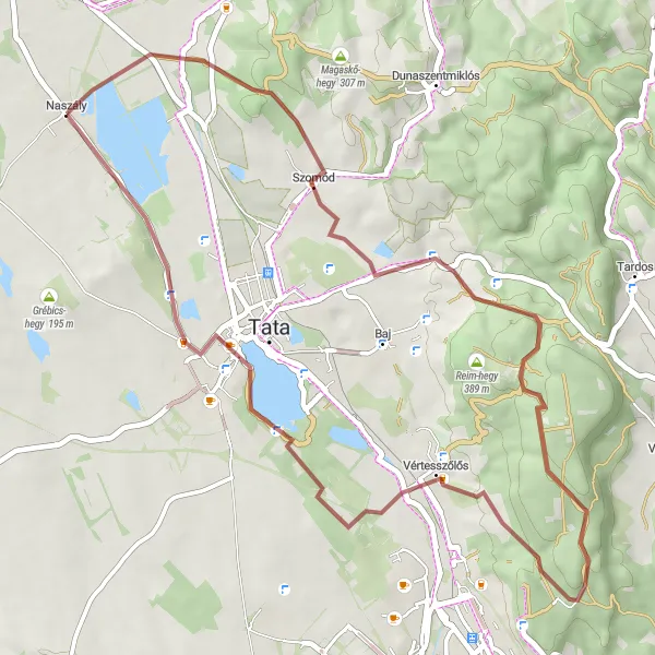
Embark on a thrilling gravel adventure to Naszály and surrounding areas
For gravel enthusiasts, this round-trip cycling route is an opportunity to venture into the scenic landscapes around Naszály. With a distance of 45 kilometers and a total ascent of 550 meters, this ride offers thrilling off-road experiences and stunning natural beauty. Explore the hidden gems of the Közép-Dunántúl region while immersing yourself in the rugged charm of gravel biking.
Cycling routes nearby:


Nearby regions: