Tata - Kálvária domb Road Loop
A road cycling route starting from Tata
Experience the scenic beauty of Kálvária domb on this road cycling route
Map
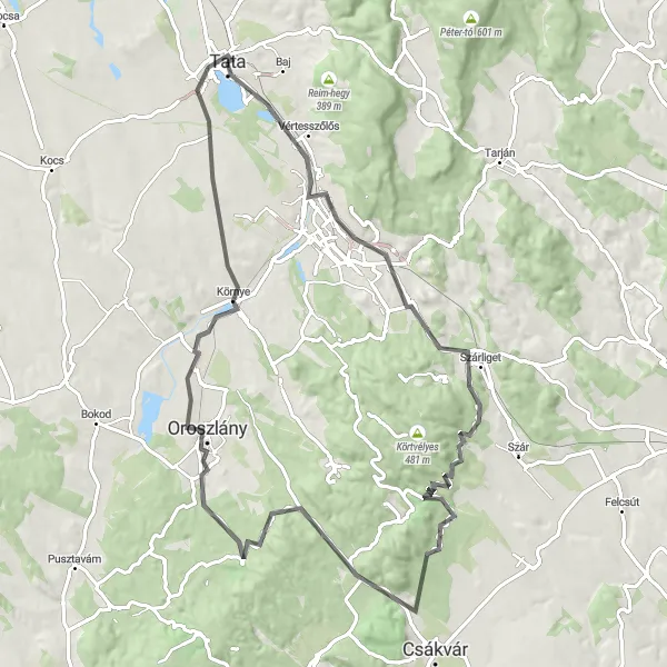
This 85 km road route starting from Tata takes you through picturesque landscapes and offers stunning views of Kálvária domb. With 569 meters of ascent, this is a challenging route suitable for well-trained amateur cyclists. The highlights along the way include the historic town of Tata, known for its impressive castle, and Oroszlánkő, a hill with panoramic views. Overall, this route provides a rewarding cycling experience with breathtaking scenery and fascinating landmarks.
road
85 km
569 m
Tough
Route profile
Highlights on the route
0 km
0 km
Start: Tata City centerTata: Tata - Exploring the beauty of Közép-Dunántúl on two wheels
Tata is a locality located in the Közép-Dunántúl region of Hungary. It offers moderate opportunities for road and gravel cycling. Cyclists can enjoy beautiful scenery and moderate routes in Tata. While there are no famous cycling spots or well-known climbs in the immediate vicinity, the region offers picturesque landscapes and cultural attractions. Tourists can explore the nearby attractions and natural beauty of Közép-Dunántúl while visiting Tata.0 km
0 km
TataTown10 km
10 km
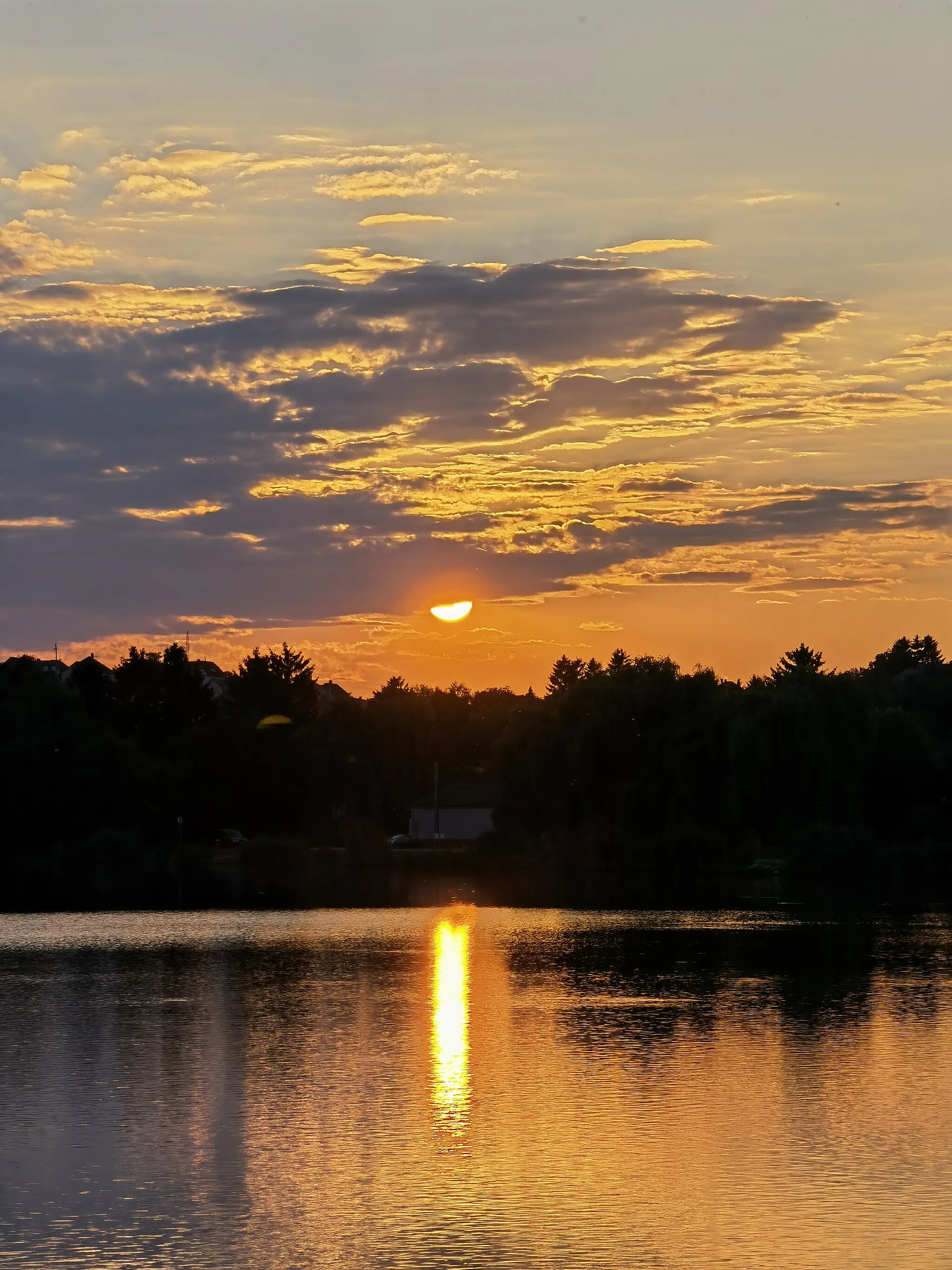
TerraceViewpointVisit the Terrace viewpoint and enjoy panoramic views of the enchanting landscape.
21 km
21 km
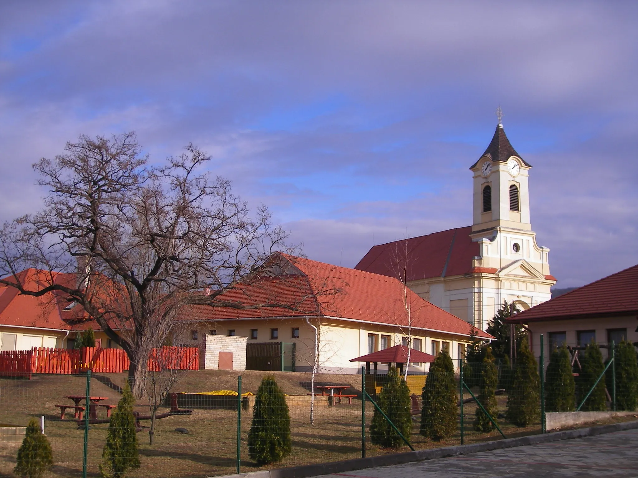
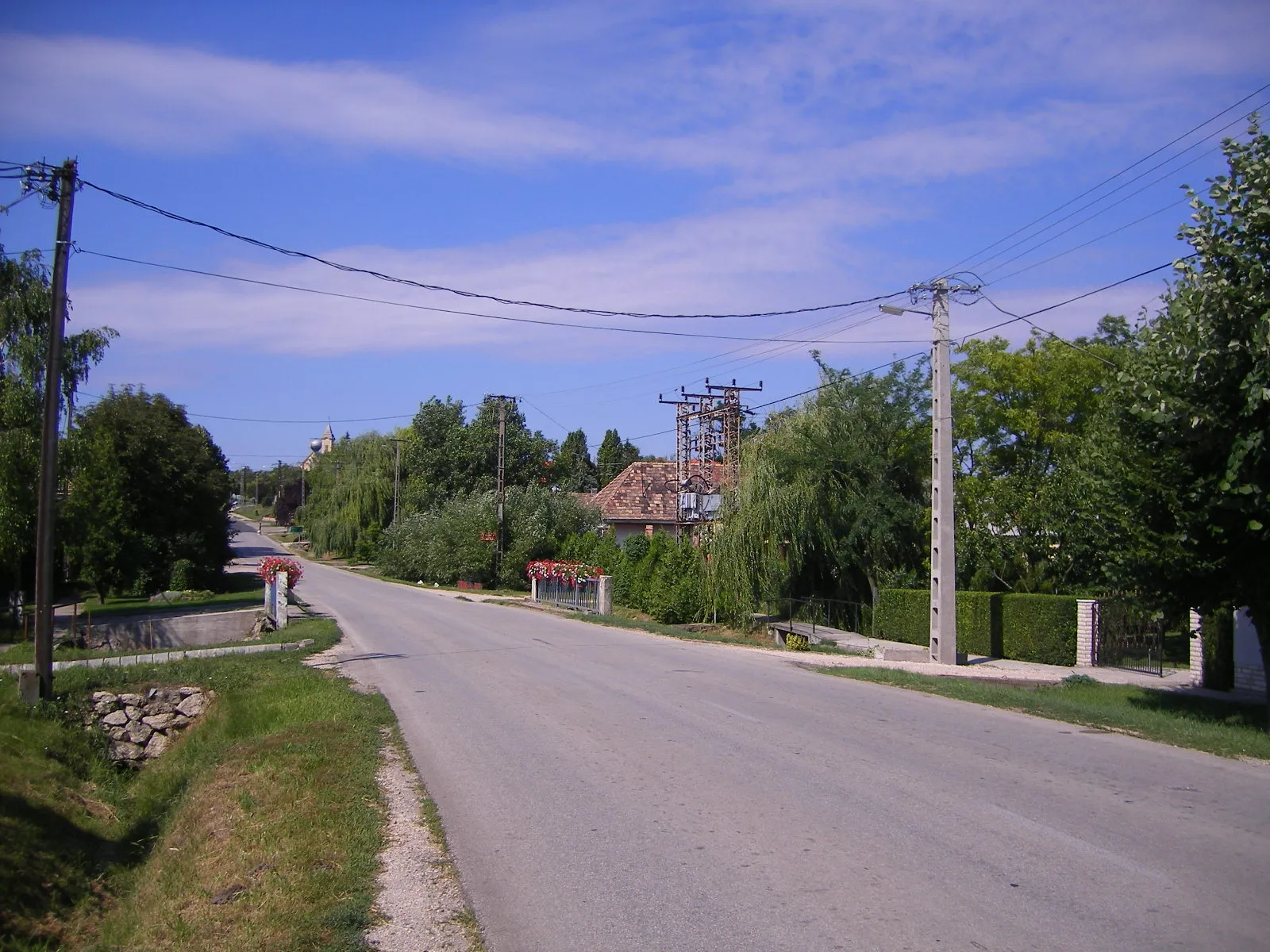
SzárligetVillagePass through Szárliget, a village surrounded by beautiful nature and charming rural scenery.
29 km
29 km
Nagy-Széna-hegy427 mPeakClimb up Nagy-Széna-hegy and be rewarded with stunning views of the Tata region.
48 km
48 km
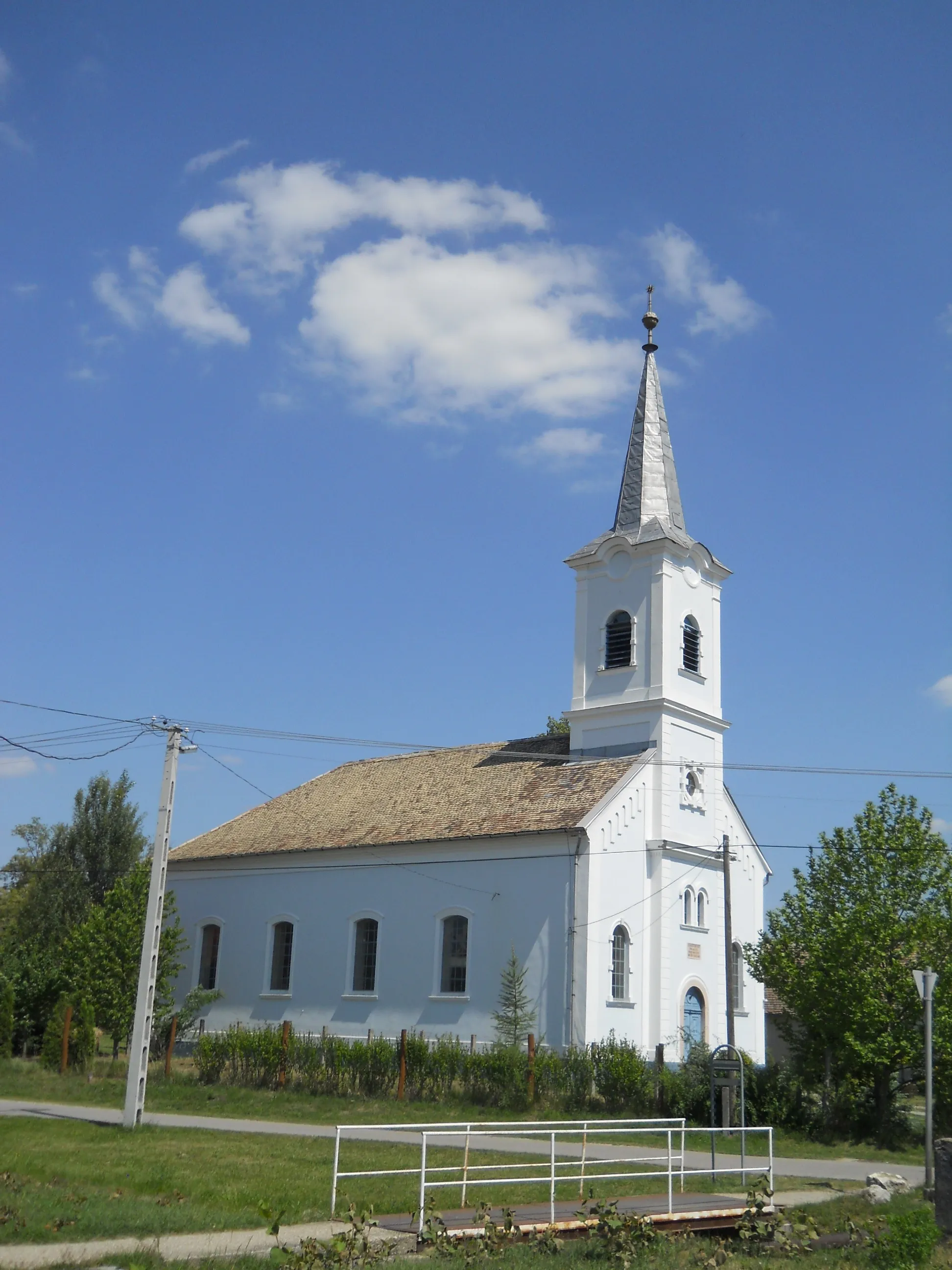
KőhányáspusztaHamletExplore Kőhányáspuszta, a village with well-preserved traditional buildings and a peaceful atmosphere.
52 km
52 km
Oroszlánkő345 mPeakAdmire the majestic Oroszlánkő, a hill offering panoramic views of the surrounding countryside.
62 km
62 km
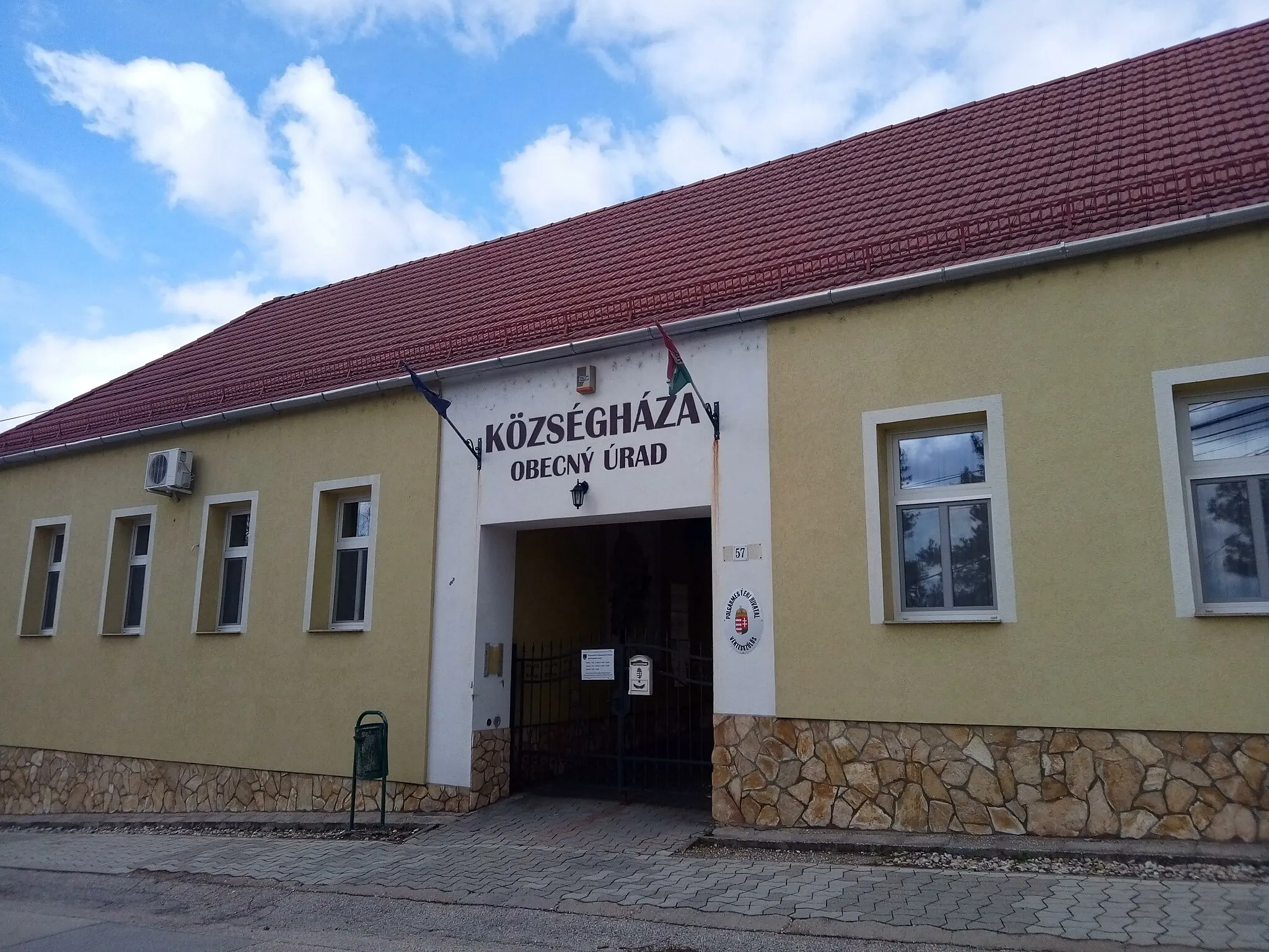
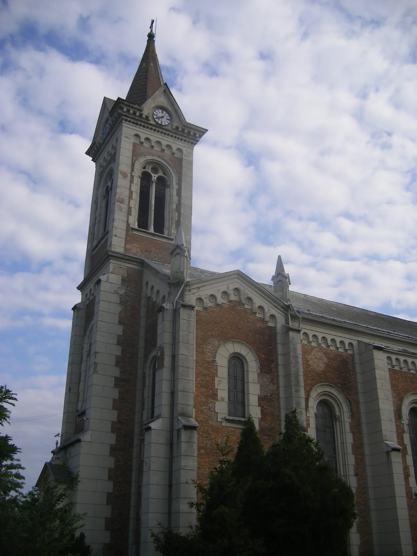
OroszlányTownDiscover Oroszlány, a town with a rich industrial history and interesting architecture.
71 km
71 km
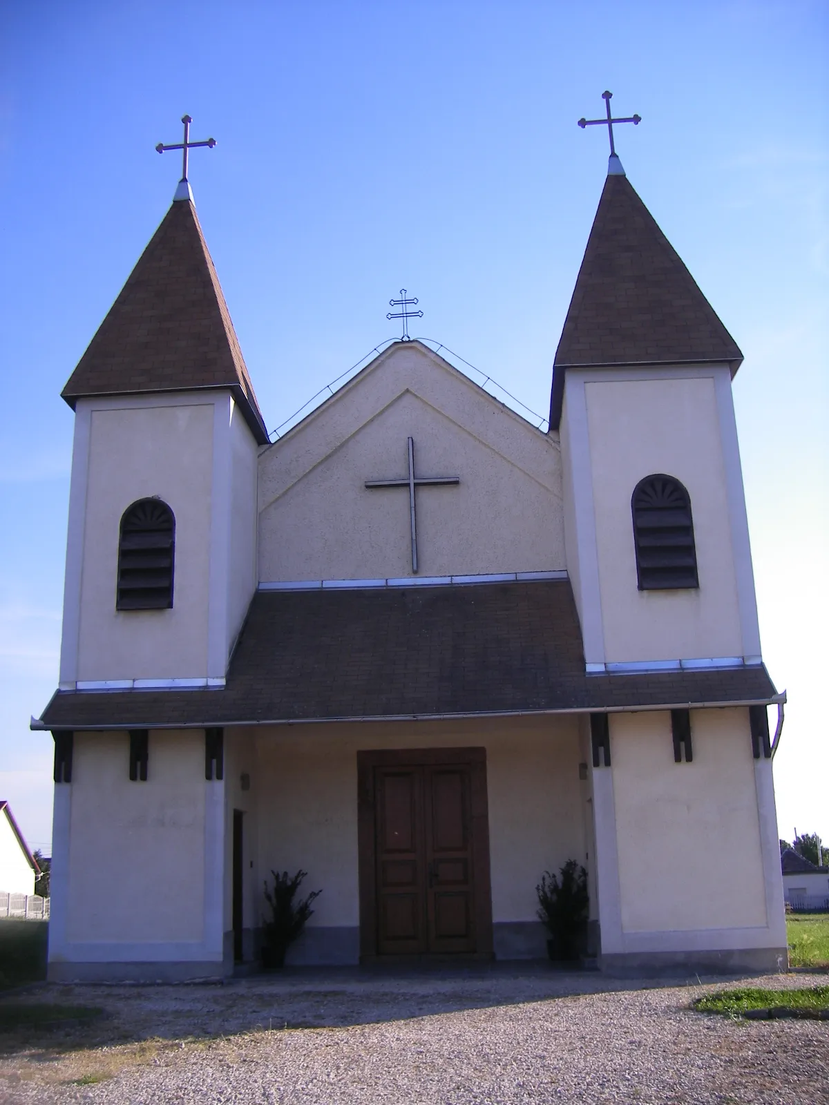
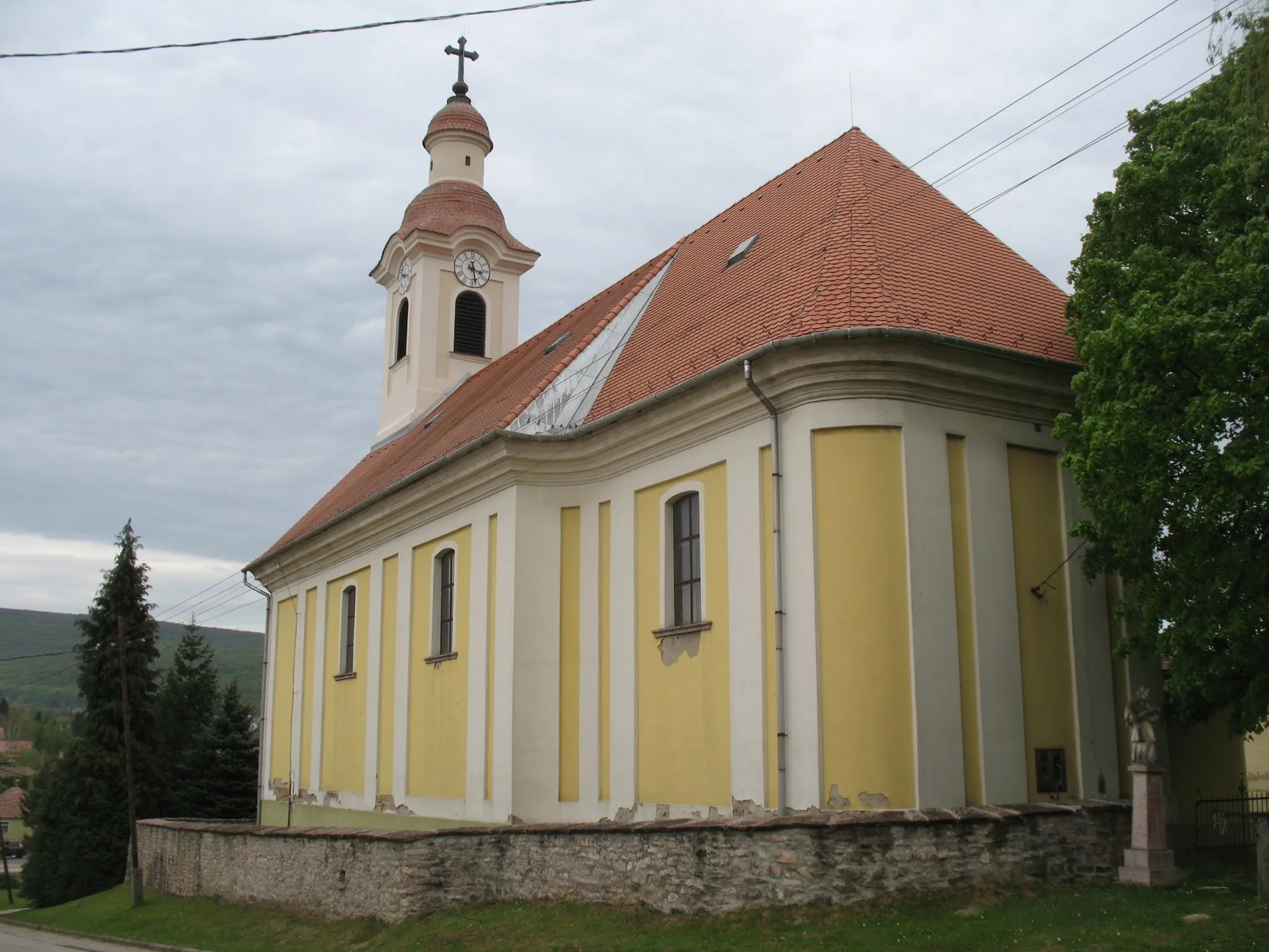
KörnyeVillageVisit Környe, a picturesque village surrounded by beautiful rolling hills.
81 km
81 km
Kálvária domb166 mPeakClimb up the Kálvária domb and enjoy panoramic views of the surrounding countryside.
85 km
85 km
Finish: Tata City centerTata: Tata - Exploring the beauty of Közép-Dunántúl on two wheels
Cycling routes from Tata:
The Mountains and Castles of Tata The Great Rides of Közép-Dunántúl Explore the Countryside by Road Climb to New Heights in Közép-Dunántúl Discover the Beauty of Dunaszentmiklós Tata - Új-hegy Loop Tata - Szomód Gravel Loop Tata - Grébics-hegy Road Loop Tata - Sánc-hegy Gravel Loop Tata - Kálvária domb Road Loop
Cycling routes nearby: