Pilis Gravel Adventure
A gravel cycling route starting from Nyergesujfalu
Embark on an adventurous gravel ride through the Pilis Mountains.
Map
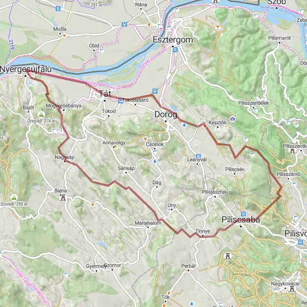
Discover the rugged beauty of the Pilis Mountains on this challenging gravel ride. With a total ascent of 869 meters and a distance of 73 kilometers, this route will test your climbing abilities. Traverse through forests and meadows, explore hidden trails, and enjoy breathtaking views of the surrounding landscape. Keep an eye out for historical landmarks and cultural treasures along the way.
gravel
73 km
869 m
Tough
Route profile
Highlights on the route
0 km
0 km
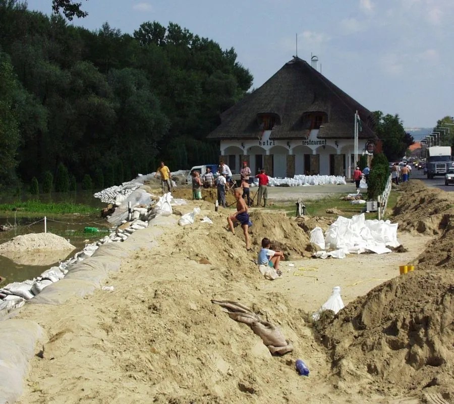
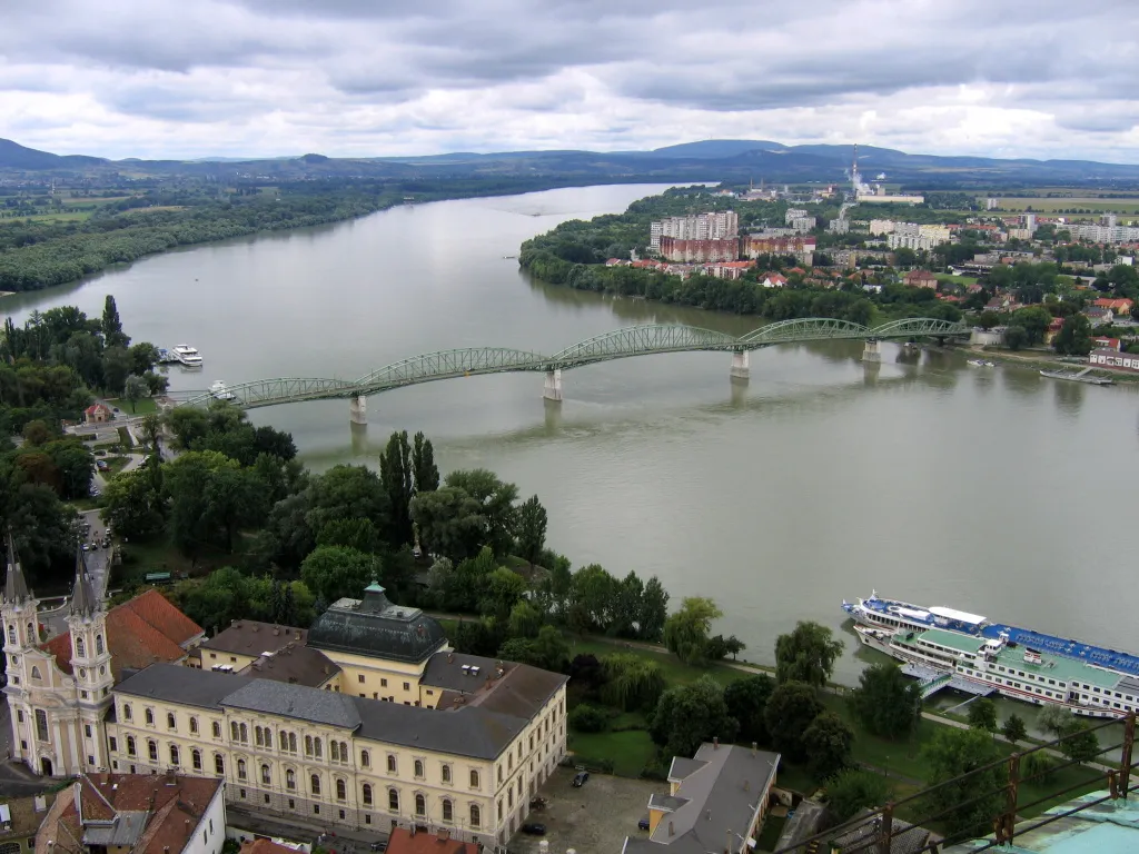
Start: Nyergesújfalu City centerNyergesújfalu: Nyergesújfalu - Serenity and tranquility for cyclists
Nyergesújfalu is a locality located in the Közép-Dunántúl region of Hungary. It offers limited opportunities for road and gravel cycling. Cyclists can enjoy calm and peaceful routes in the outskirts of Nyergesújfalu. While the locality does not have any famous cycling spots or well-known climbs, it provides a serene and laid-back environment for cyclists. Tourists can also explore the nearby cities and attractions in the Közép-Dunántúl region.8 km
8 km
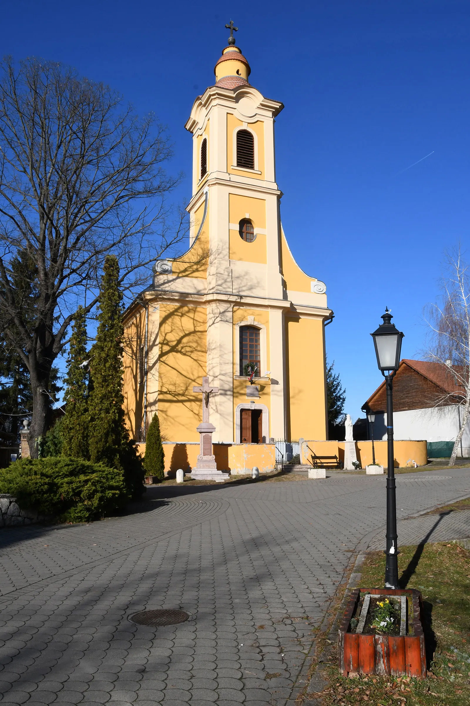
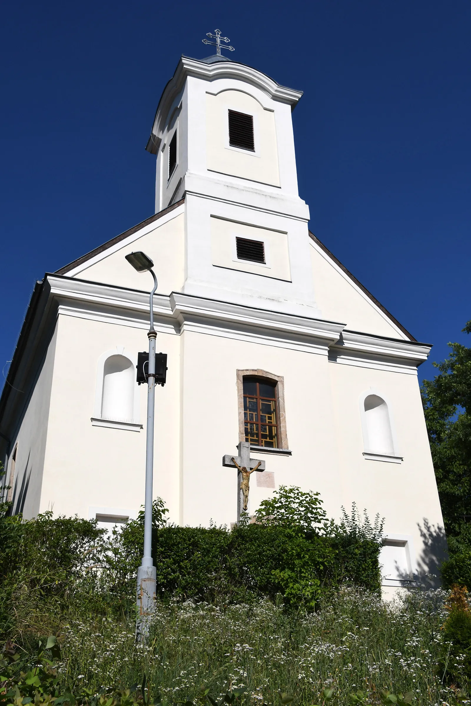
TátTownMake a detour to Tát and visit the medieval castle ruins, offering a glimpse into Hungary's past.
17 km
17 km
Sátor-kő155 mPeakExplore the impressive rock formation of Sátor-kő and witness the unique geological features of the area.
28 km
28 km
Basina386 mPeakExperience the tranquility of Basina, a small village surrounded by picturesque hills and pristine nature.
38 km
38 km
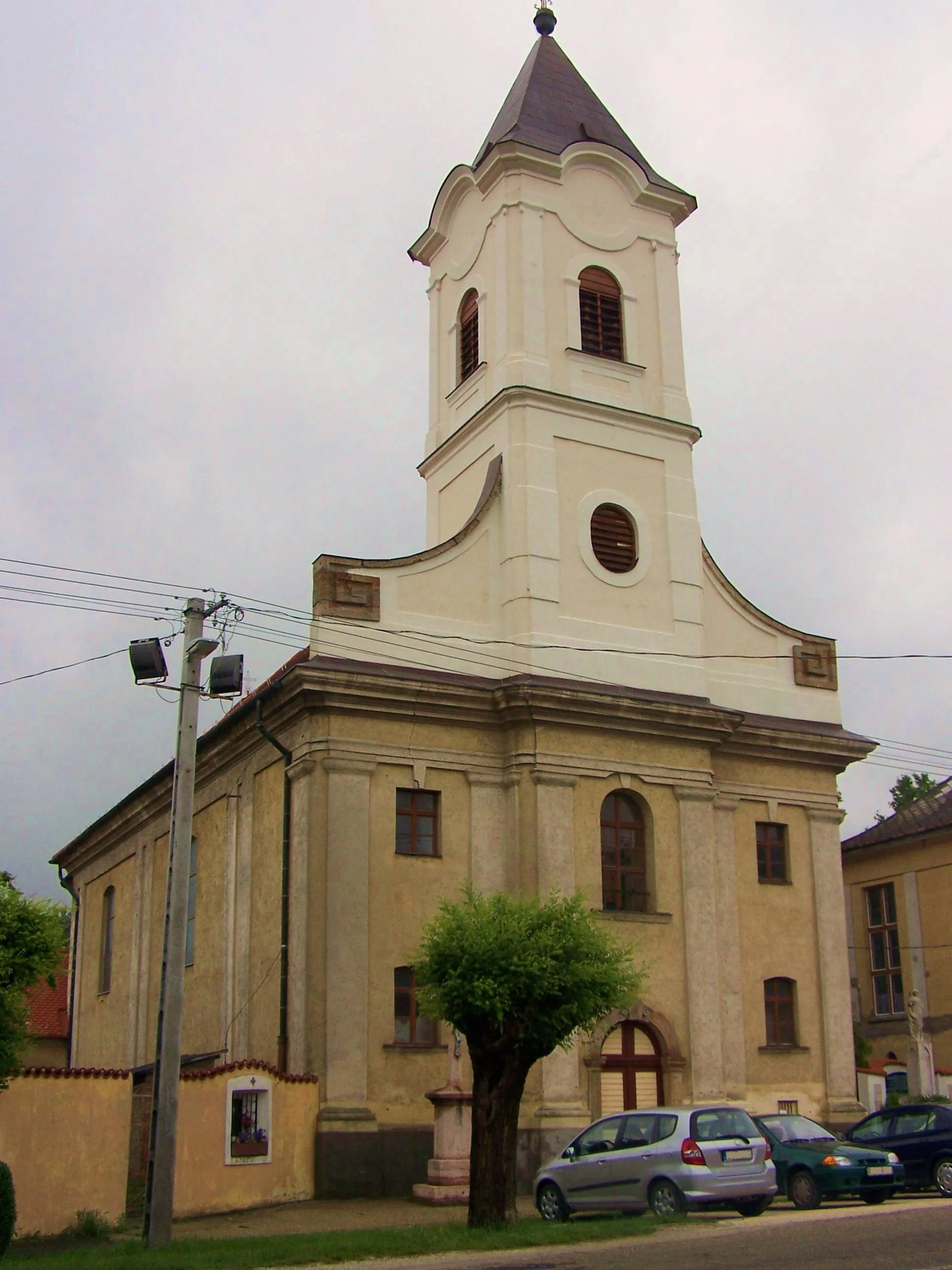
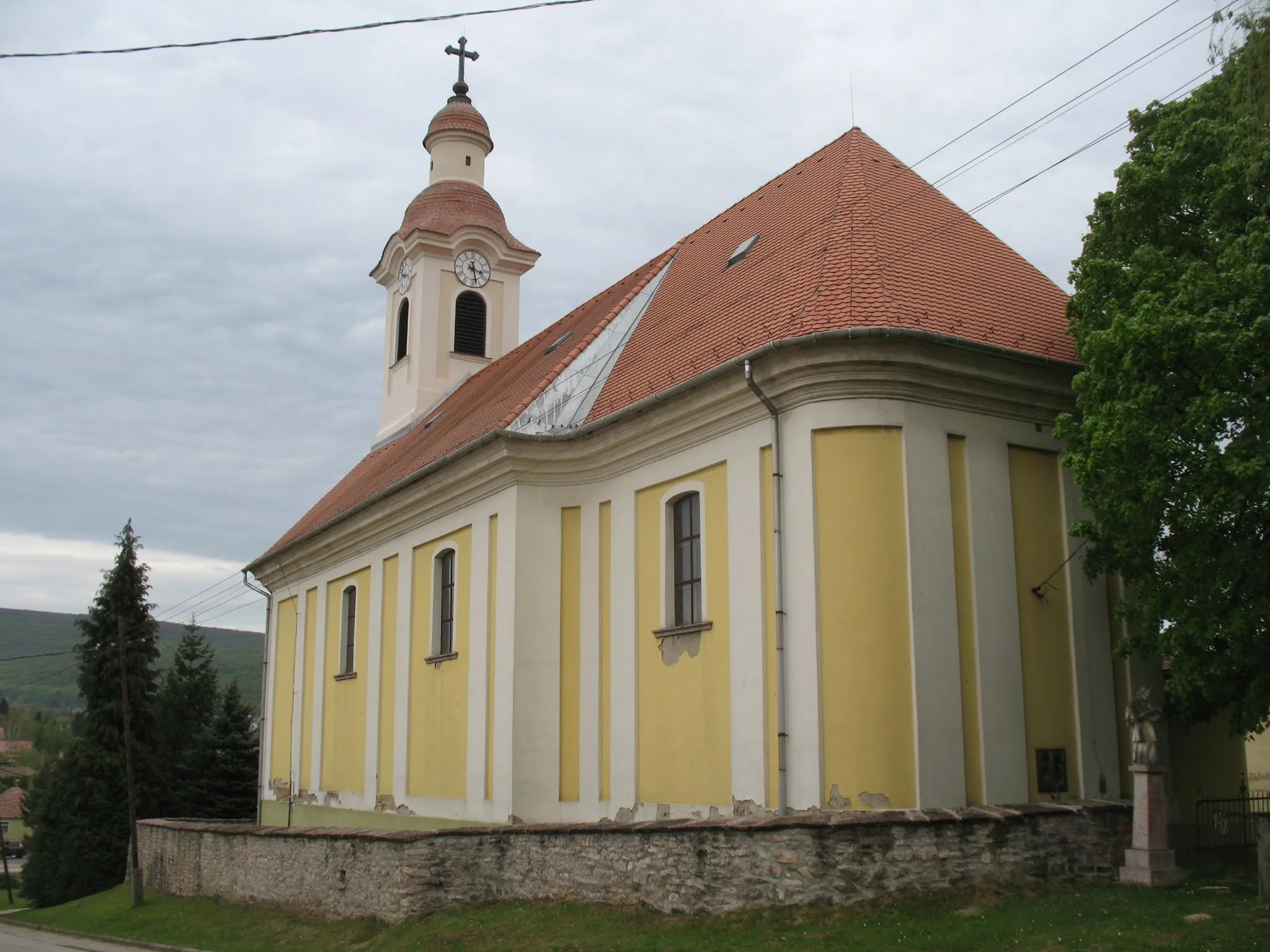
PiliscsabaTownPass through Piliscsaba and marvel at the historic buildings that reflect the town's rich architectural heritage.
49 km
49 km
Szomodor-hegy230 mPeakAdmire the panoramic views from the top of Szomodor-hegy, a hill offering a stunning vantage point.
61 km
61 km
NagysápVillagePedal through Nagysáp and take a break to explore its charming streets and traditional Hungarian charm.
69 km
69 km
Muzslai-tető315 mPeakAscend to Muzslai-tető and be rewarded with breathtaking vistas of the surrounding landscapes.
73 km
73 km
Finish: Nyergesújfalu City centerNyergesújfalu: Nyergesújfalu - Serenity and tranquility for cyclists
Cycling routes nearby: