The Gerecse Challenge
A gravel cycling route starting from Tat
Conquer the challenging Gerecse mountains on this thrilling gravel cycling route.
Map
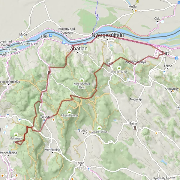
Embark on a thrilling gravel cycling adventure through the challenging terrain of the Gerecse mountains. This 67-kilometer route promises both excitement and breathtaking natural views. With an ascent of 1314 meters, this route is tailored for experienced gravel cyclists seeking a formidable challenge. Highlights include Kereszt-hát, Tardos, Gerecse, Gyertyános, and Mogyorósbánya, each offering distinct natural beauty and exhilarating trails. Immerse yourself in the majesty of the Gerecse mountains and witness the awe-inspiring landscapes that make this region a paradise for gravel cycling enthusiasts.
gravel
67 km
1314 m
Savage
Route profile
Highlights on the route
0 km
0 km
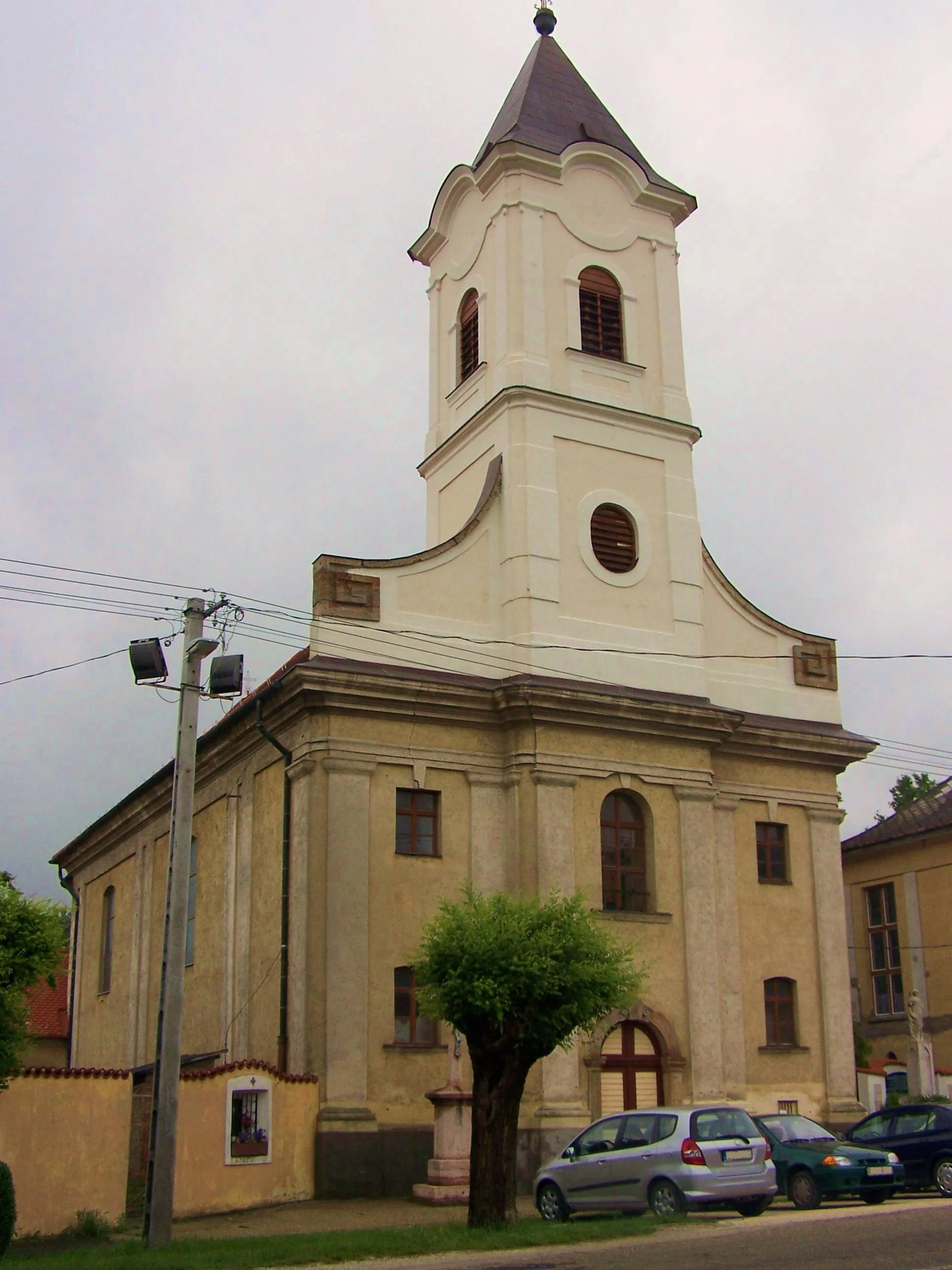
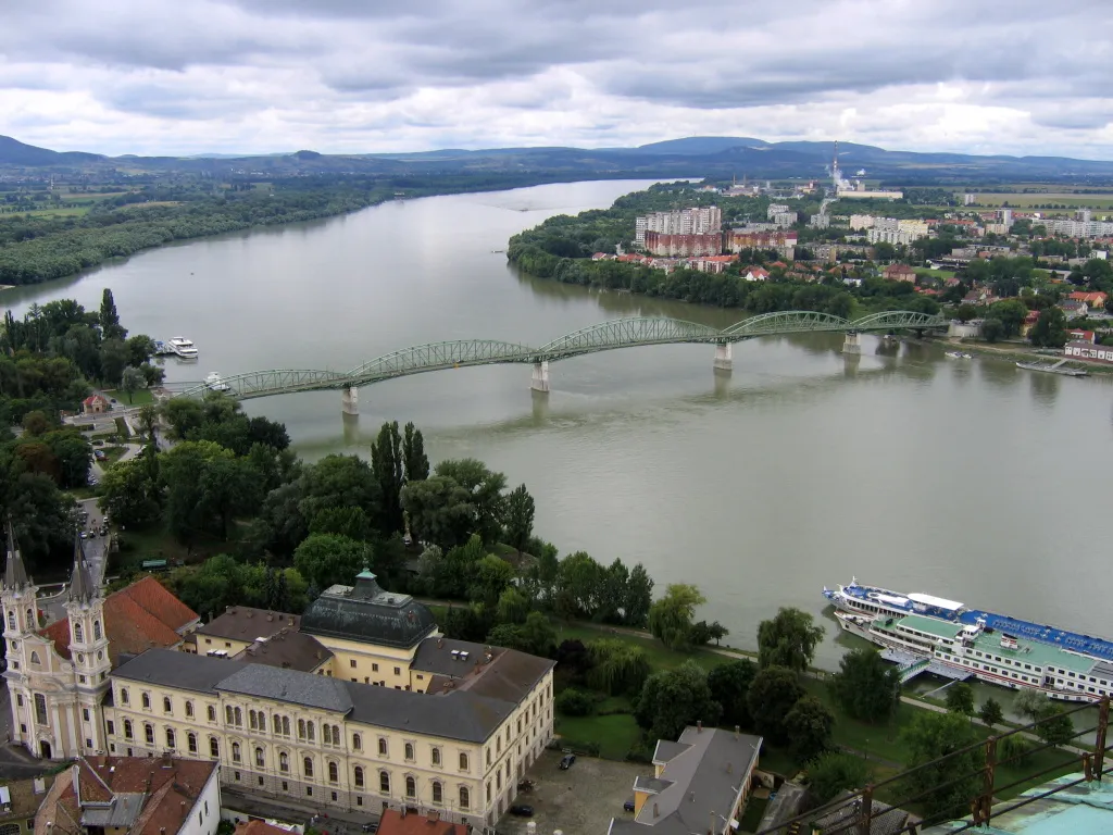
Start: Tát City centerTát: Tát - Exploring the scenic landscapes of Közép-Dunántúl on two wheels
Tát is a locality located in the Közép-Dunántúl region of Hungary. It offers moderate opportunities for road and gravel cycling. Cyclists can enjoy scenic routes and discover the charm of Tát's surroundings. While Tát does not have any famous cycling spots or well-known climbs, it provides a peaceful and picturesque environment for cycling enthusiasts. Tourists can also explore the nearby attractions and natural beauty of Közép-Dunántúl while visiting Tát.31 km
31 km
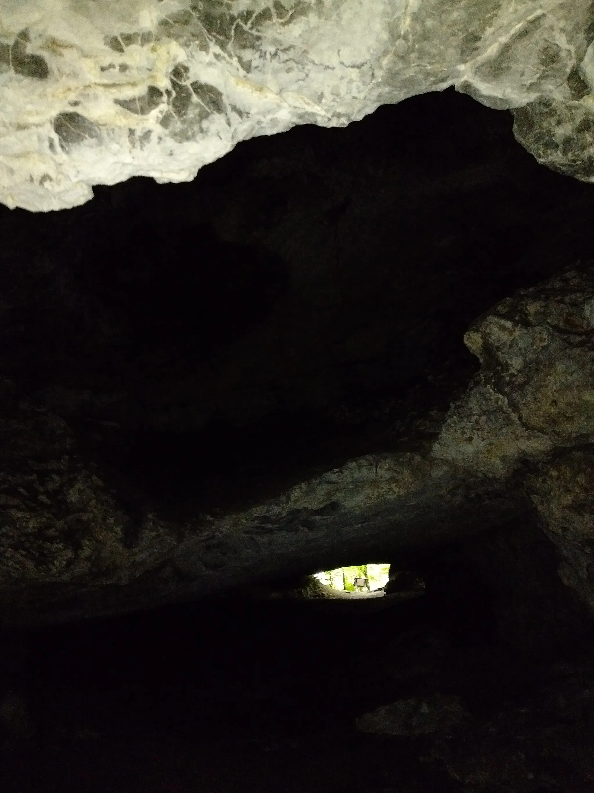
Kereszt-hát445 mPeakConquer Kereszt-hát, a challenging gravel trail that offers breathtaking views. Navigate through rugged terrain and make your way to the summit for an unforgettable experience.
42 km
42 km
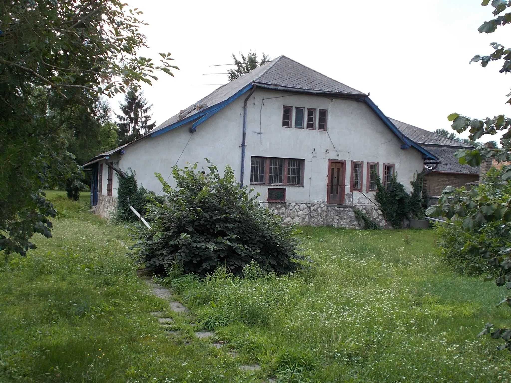
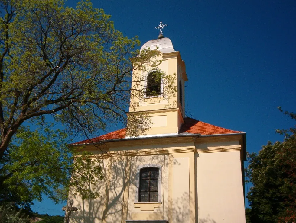
TardosVillageDiscover Tardos, a picturesque village nestled in the Gerecse mountains. Take in the stunning natural beauty surrounding the area and explore its hidden trails.
46 km
46 km
Gerecse634 mPeakExplore Gerecse, a mountain range known for its diverse landscapes and thrilling cycling trails. Marvel at the rugged terrain and enjoy the adrenaline rush of riding through this unique environment.
62 km
62 km
Gyertyános265 mPeakEmbark on a gravel adventure through the enchanting forests of Gyertyános. Traverse winding trails and revel in the peaceful serenity of nature.
62 km
62 km
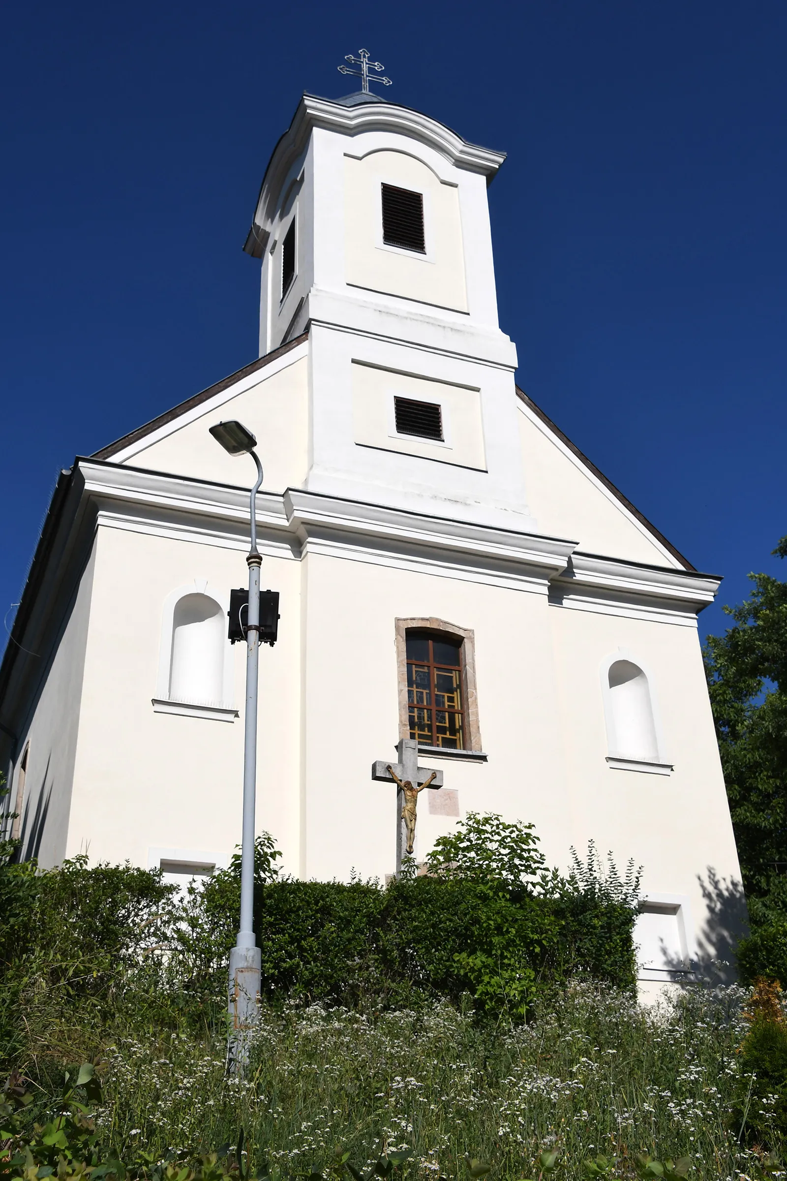
MogyorósbányaVillageCycle through Mogyorósbánya, a charming town tucked amidst the Gerecse mountains. Enjoy the scenic beauty surrounding the area and soak in the tranquil atmosphere.
67 km
67 km
Finish: Tát City centerTát: Tát - Exploring the scenic landscapes of Közép-Dunántúl on two wheels
Cycling routes nearby: