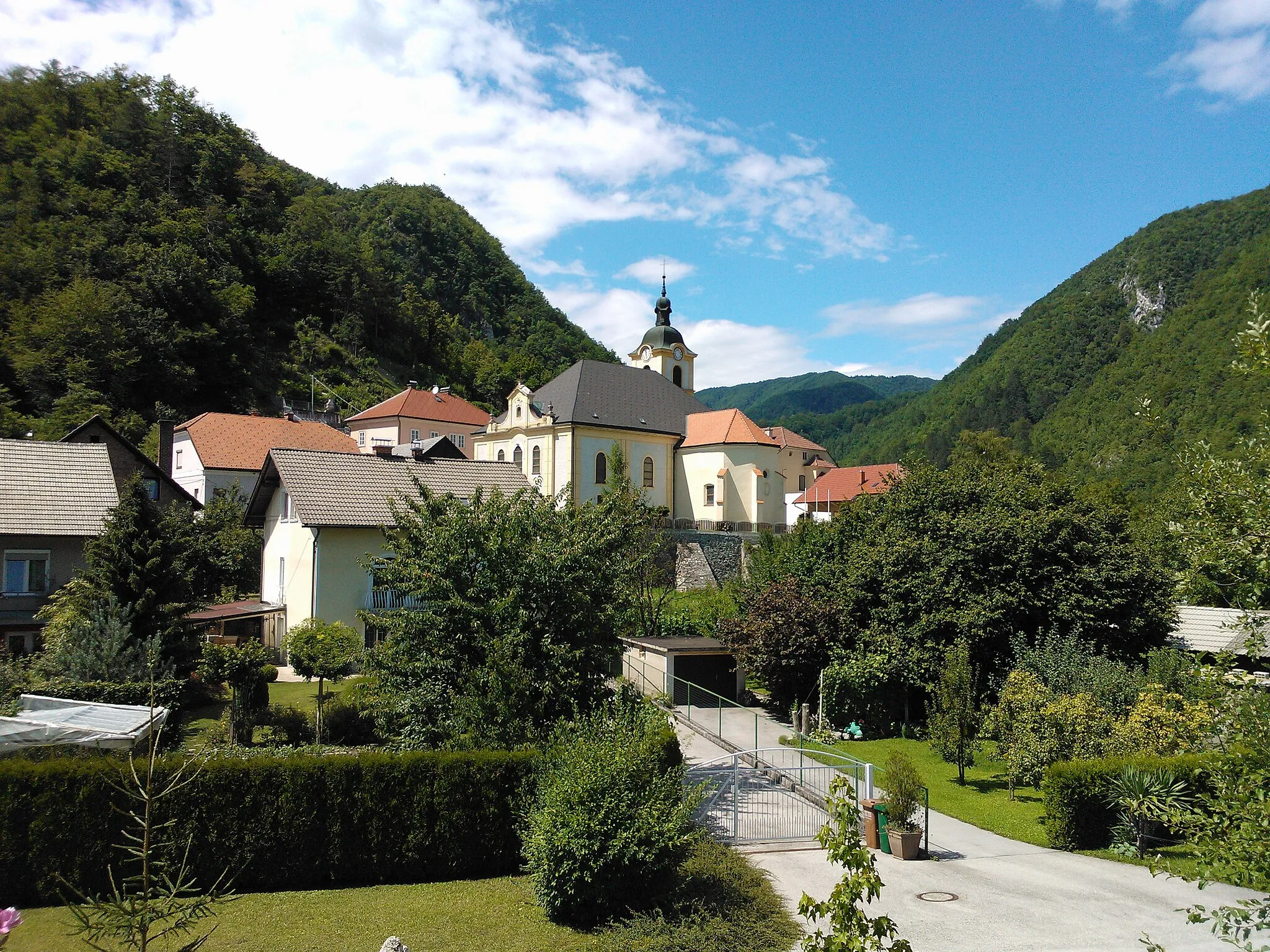
Scenic rides through the flat landscapes of Fertőszentmiklós.
Cycling routes from Fertoszentmiklos
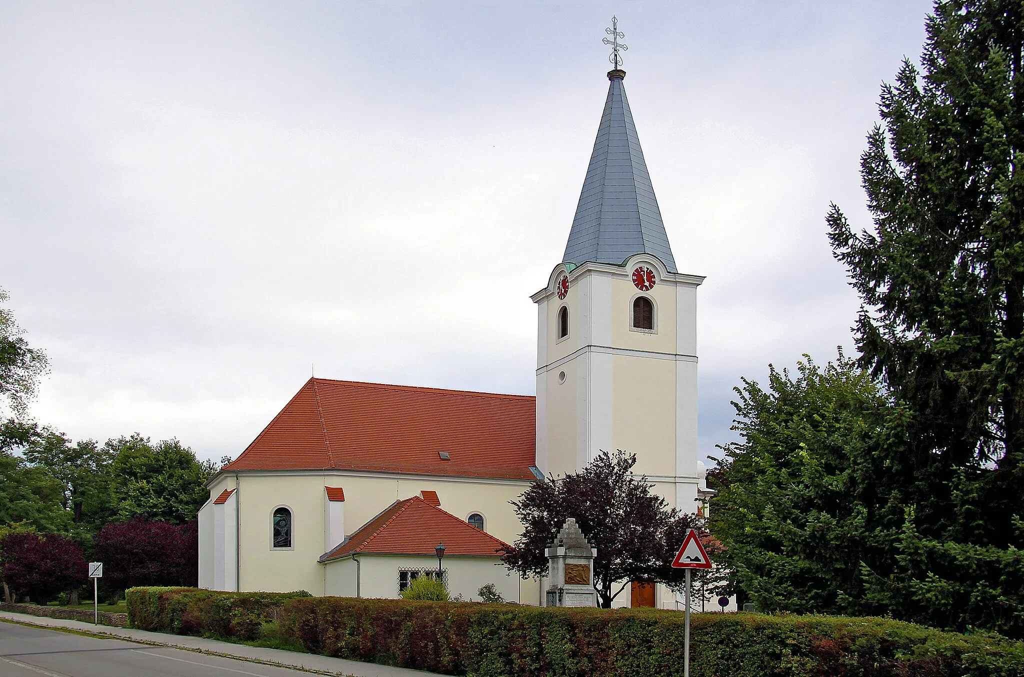
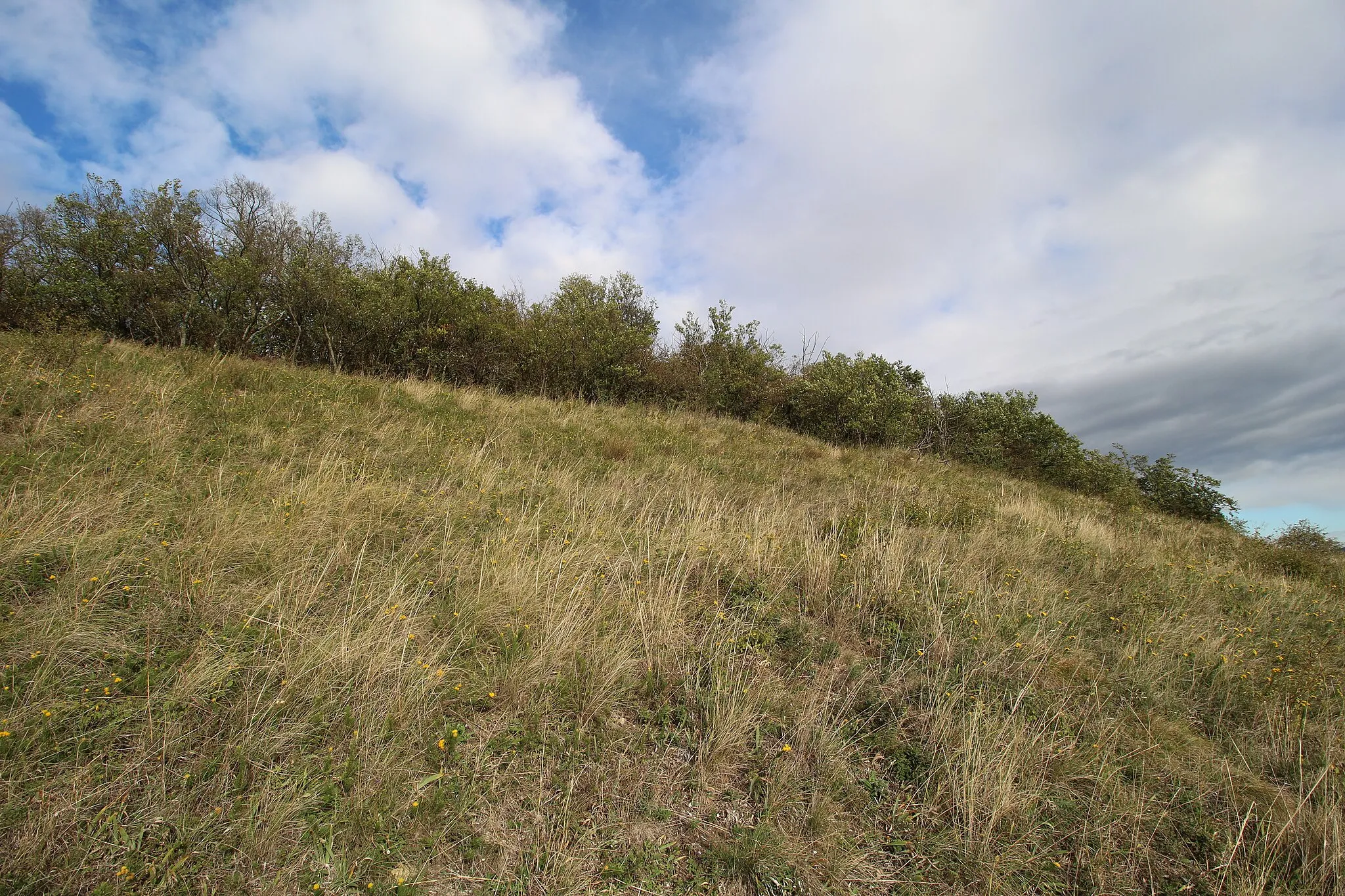
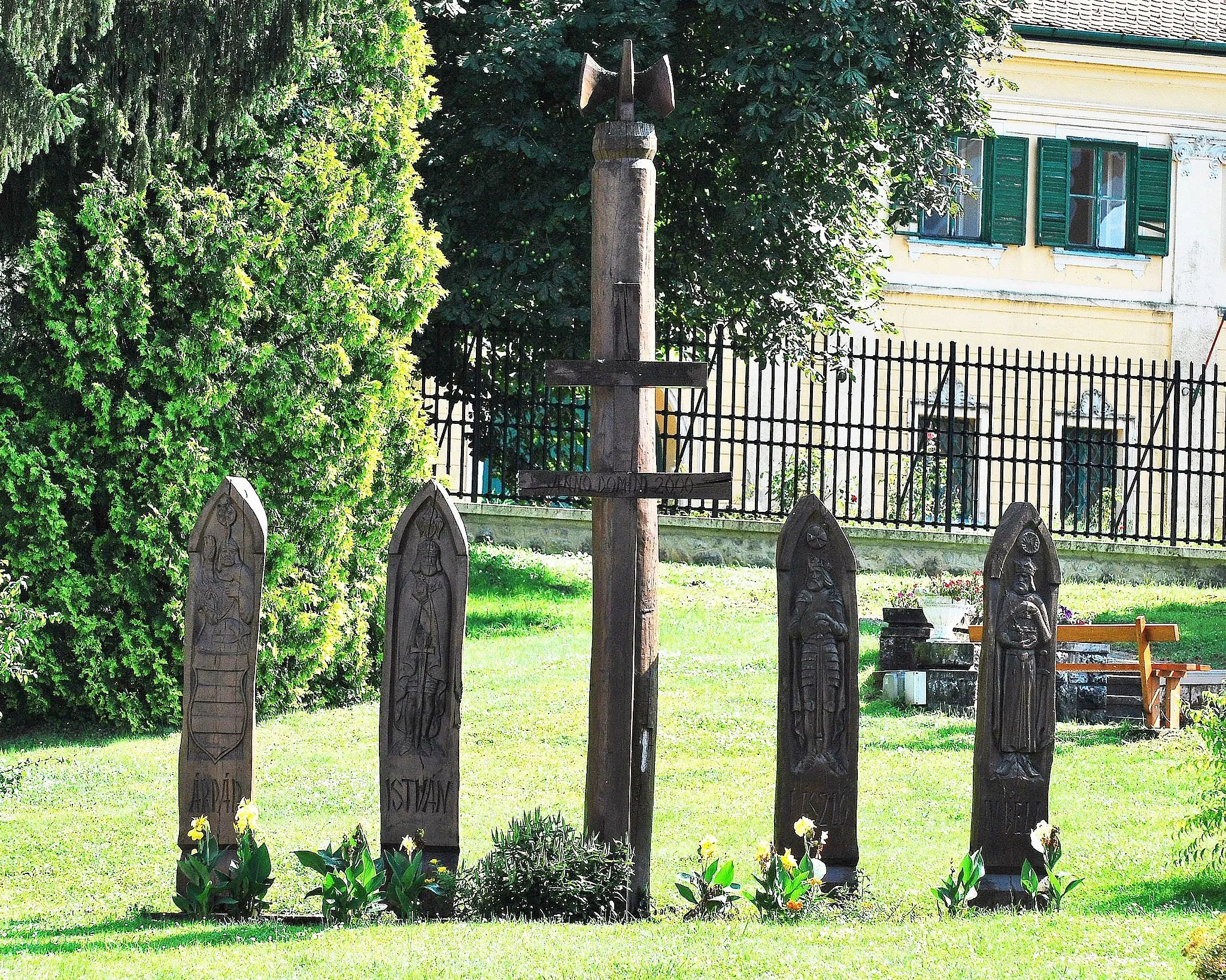
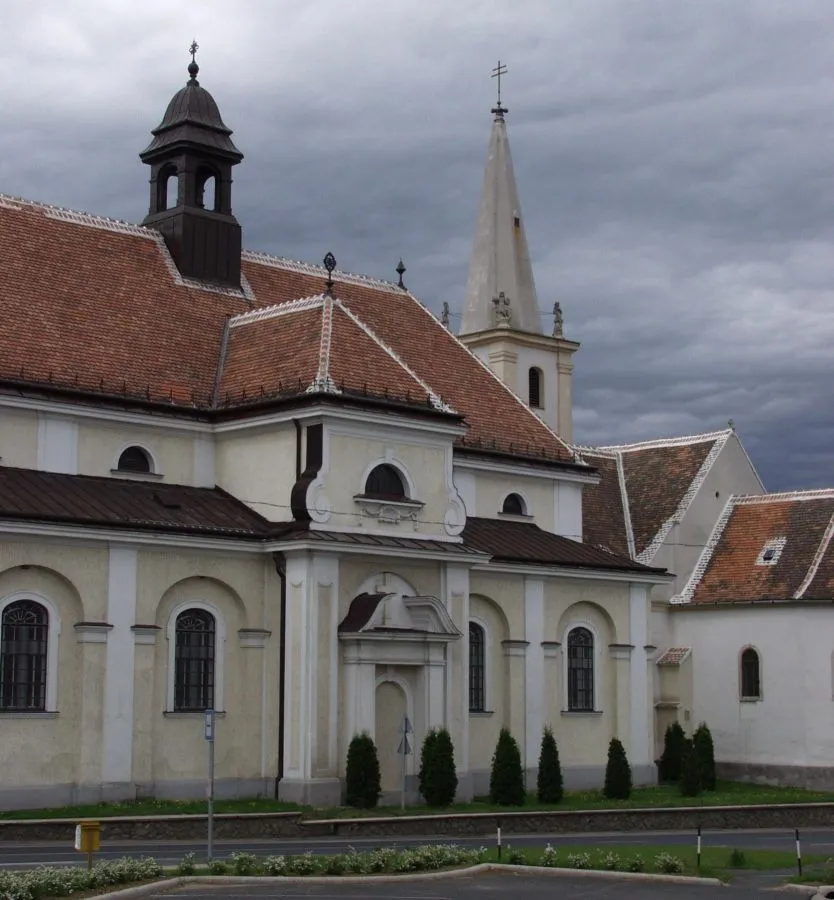
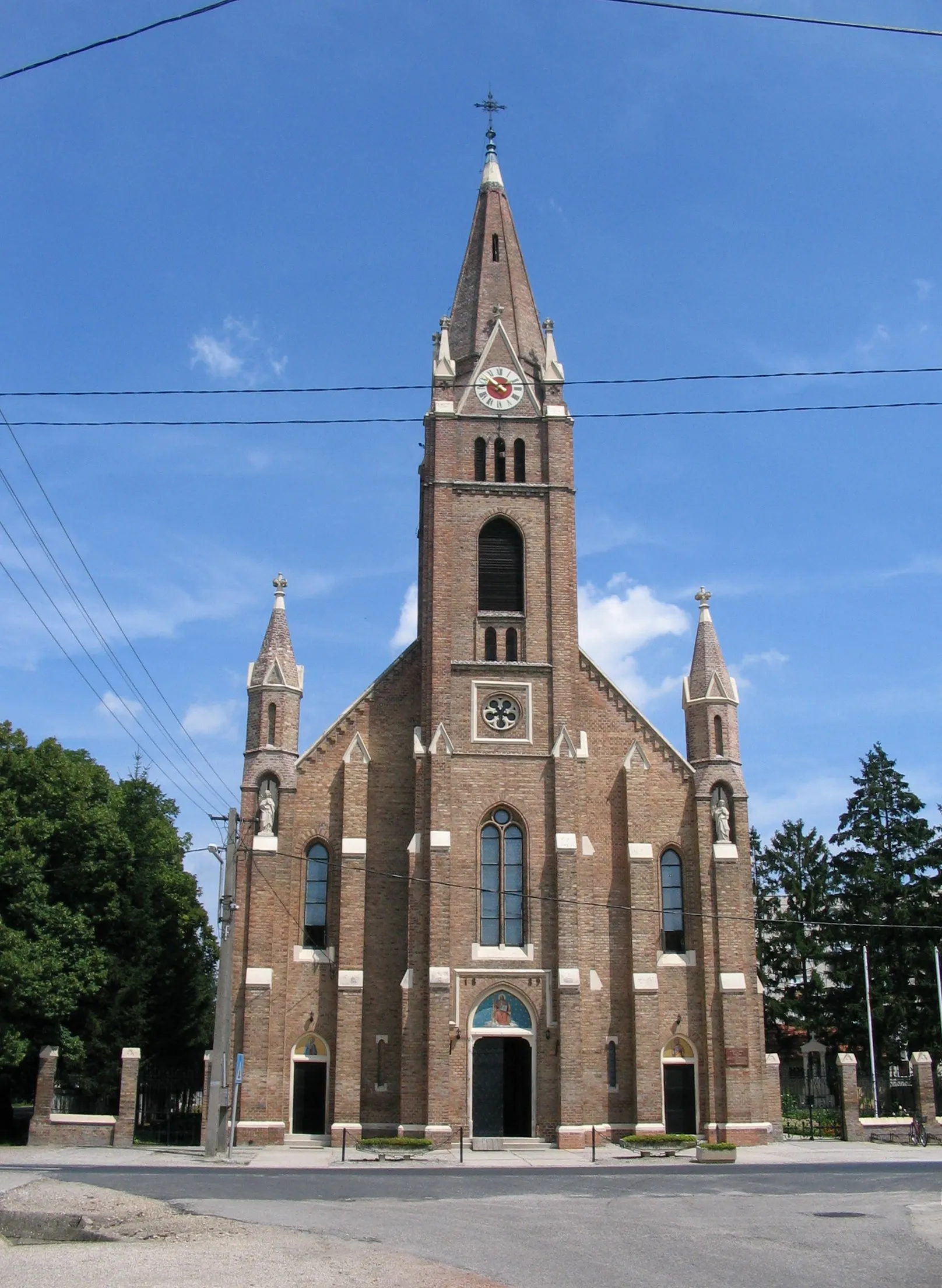
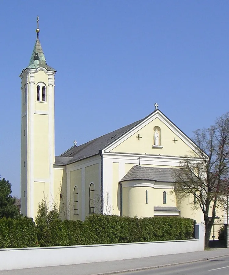
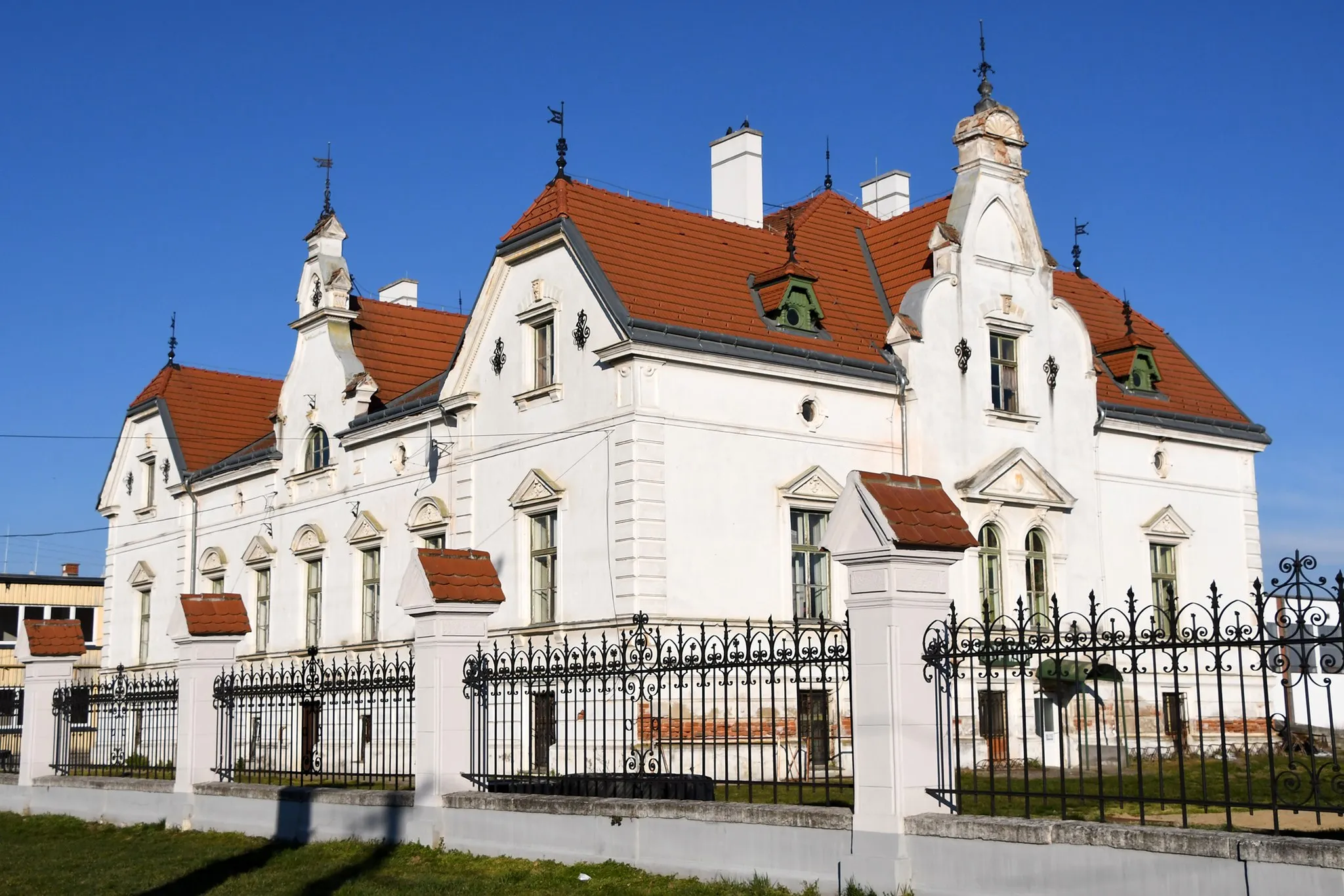
Fertőszentmiklós is situated in the Nyugat-Dunántúl region of Hungary. As a cyclist, you'll find a mix of road cycling and gravel riding options in this area. The region is relatively flat, making it great for easy-paced rides. While there are no famous cycling spots or iconic climbs nearby, Fertőszentmiklós offers scenic routes through the Hungarian countryside. The village itself has its own charm, with cultural attractions like the Móricz Zsigmond Kulturális Központ. Overall, Fertőszentmiklós is a decent spot for cyclists looking to explore the countryside at a relaxed pace.
Fertőszentmiklós - Röjtökmuzsaj
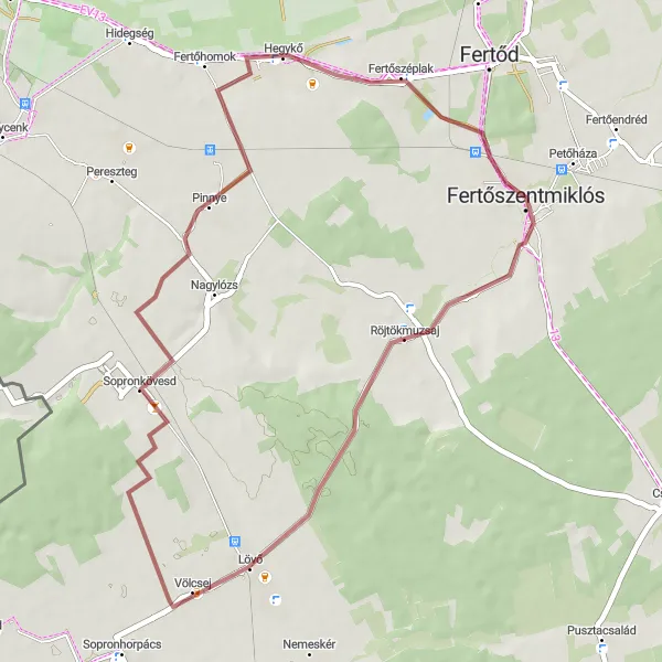
Cycle through the beautiful landscapes of Fertőszentmiklós and visit the charming village of Röjtökmuzsaj.
This route offers a pleasant gravel cycling experience with a total distance of 42 km and an ascent of 193 m. Starting from Fertőszentmiklós, you will pass through scenic countryside and arrive in the picturesque village of Röjtökmuzsaj. The route is suitable for gravel bikes and is of moderate difficulty, making it accessible for well-trained amateurs. The highlights along the route include Sopronkövesd, Hegykő, and Fertőszentmiklós itself.
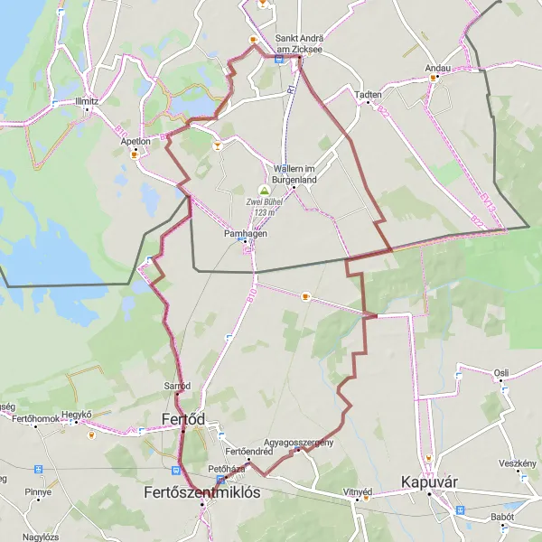
Experience the beauty of Fertőszentmiklós and Agyagosszergény on this gravel cycling route.
With a distance of 66 km and an ascent of 36 m, this gravel route offers a delightful cycling experience. Starting from Fertőszentmiklós, you will pass through scenic countryside and arrive in the charming village of Agyagosszergény. The route is suitable for gravel bikes and is of moderate difficulty, making it accessible for well-trained amateurs. Along the way, you will encounter highlights such as Sarród, the lowest point of Austria, Aussichtsturm, Sankt Andrä am Zicksee, and Agyagosszergény itself. These attractions offer diverse experiences, including stunning viewpoints, unique geographical features, and local cultural highlights.
Fertőszentmiklós - Csopod
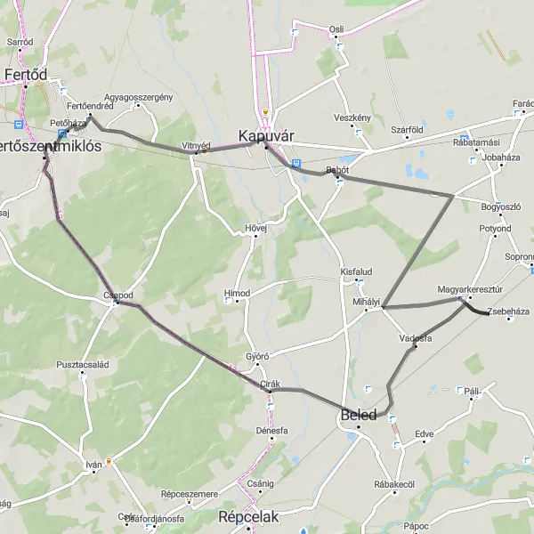
Embark on a road cycling adventure from Fertőszentmiklós to Csapod.
This road cycling route covers a distance of 69 km and includes an ascent of 71 m. Starting from Fertőszentmiklós, you will cycle through scenic landscapes and picturesque villages before reaching the charming village of Csapod. The route is suitable for road bikes and offers a moderate level of difficulty, making it suitable for well-trained amateurs. Along the way, you will encounter highlights such as Petőháza, Vitnyéd, Babót, Magyarkeresztúr, Vadosfa, Csapod, and Fertőszentmiklós itself. These attractions offer a diverse range of experiences, from historical sites and cultural landmarks to natural beauty and quaint village charm.
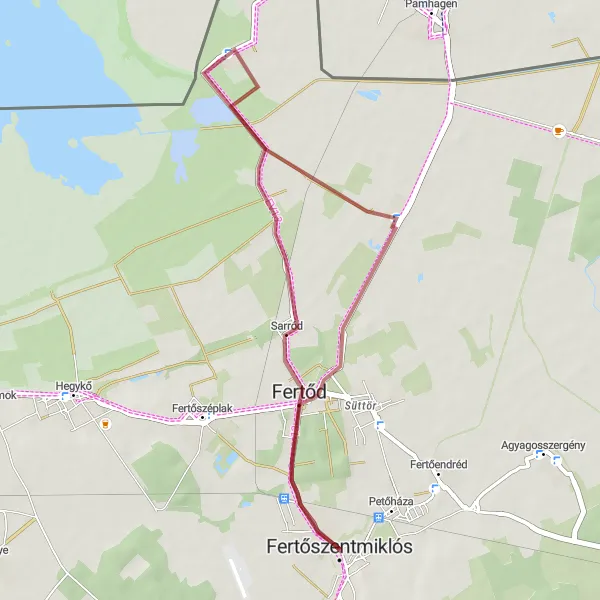
A shorter gravel route from Fertőszentmiklós to Sarród
This gravel cycling route offers a shorter option from Fertőszentmiklós to Sarród, ideal for cyclists looking for a quick but enjoyable ride. With a total distance of 29 km and a relatively flat terrain, this route is suitable for cyclists of all skill levels. Highlights along the way include the majestic Esterházy Castle, the picturesque village of Sarród, and the vibrant town of Fertőszentmiklós.
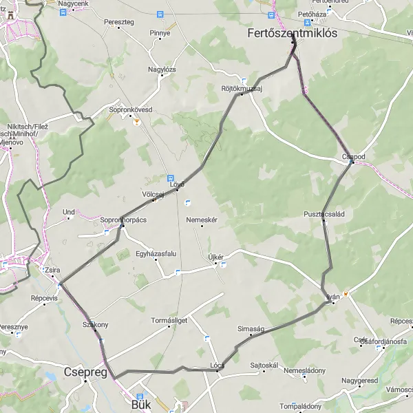
A scenic road route from Fertőszentmiklós to Sopronhorpács
This road cycling route takes you from Fertőszentmiklós to Sopronhorpács, showcasing the beautiful landscapes of Nyugat-Dunántúl. With a total distance of 63 km and an ascent of 157 m, the route is suitable for amateur cyclists with average training. Highlights along the way include the quaint village of Pusztacsalád, the charming town of Lócs, the historic village of Röjtökmuzsaj with its rich cultural heritage, and the picturesque Sopronhorpács.
A challenging gravel route from Fertőszentmiklós to Hegykő
This gravel cycling route takes you from Fertőszentmiklós to Hegykő, offering a mix of challenging terrains and scenic landscapes. With a total distance of 96 km and an ascent of 684 m, this route is recommended for experienced cyclists who enjoy off-road adventures. Highlights along the way include the historic village of Röjtökmuzsaj, the charming village of Sopronhorpács known for its wineries, the picturesque town of Répcevis, the stunning Guba-hegy mountain, the scenic Klostermarienberg castle, and the cross-border village of Kleinwarasdorf/Mali Borištof.
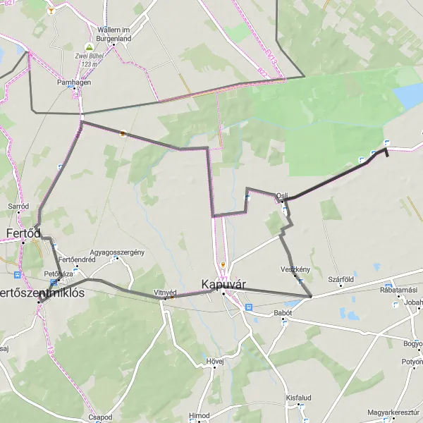
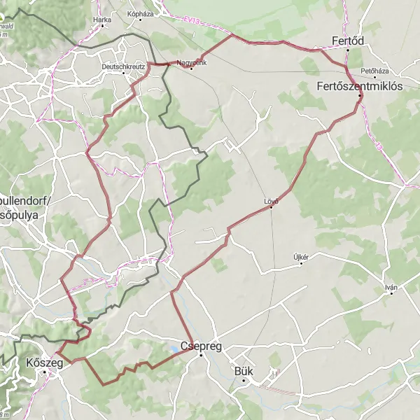
An extended road route from Fertőszentmiklós to Fertőendréd
Embark on this extended road cycling route from Fertőszentmiklós to Fertőendréd, exploring the beautiful landscapes and charming towns of Nyugat-Dunántúl. With a total distance of 71 km and a gentle elevation, this route is suitable for cyclists of all levels. Highlights along the way include the charming village of Petőháza, the idyllic Tőzeggyármajor nature reserve, the historic village of Osli, the tranquil island of Földsziget on Lake Fertő, the quaint village of Veszkény, the picturesque village of Vitnyéd, and the vibrant Fertőendréd town.
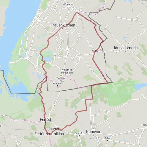
Embark on a scenic journey from Fertőszentmiklós to Agyagosszergény.
This gravel route spans a distance of 92 km and features a total ascent of 40 m. Starting from Fertőszentmiklós, you will pass through picturesque landscapes and charming villages, reaching your final destination in Agyagosszergény. The route is suitable for gravel bikes and is relatively easy, making it ideal for well-trained amateurs. Along the way, you will encounter highlights such as Sarród, Aussichtsturm, Frauenkirchen, Andau, and Mosontarcsai híd menedékhely. These attractions offer unique experiences, from panoramic views and historical sites to natural havens and cultural landmarks.
Fertőszentmiklós - Röjtökmuzsaj
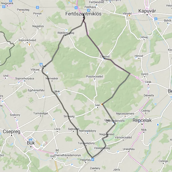
Discover the beauty of Fertőszentmiklós and Röjtökmuzsaj on this road cycling route.
This road cycling route spans a distance of 66 km and features an ascent of 113 m. Starting from Fertőszentmiklós, you will cycle through scenic landscapes and picturesque villages, reaching your final destination in Röjtökmuzsaj. The route is suitable for road bikes and offers a moderate level of difficulty, making it accessible for well-trained amateurs. Highlights along the route include Fertőszentmiklós, Csapod, Nagygeresd, Felsőság, and Röjtökmuzsaj. These attractions offer a variety of experiences, from historical sites and cultural landmarks to breathtaking natural scenery.
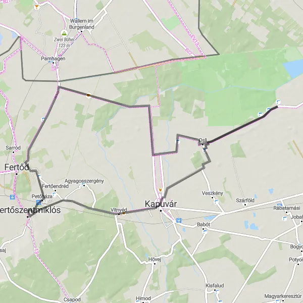
A scenic road route from Fertőszentmiklós to Fertőendréd
Discover the beauty of Nyugat-Dunántúl with this road cycling route from Fertőszentmiklós to Fertőendréd. With a total distance of 65 km and a gentle elevation, this route is suitable for cyclists of all levels. Highlights along the way include the charming village of Petőháza with its historic buildings, the idyllic Tőzeggyármajor nature reserve, the picturesque village of Osli, the tranquil island of Földsziget, the charming village of Vitnyéd, and the vibrant Fertőendréd town.
Cycling routes nearby:
Nearby regions: