Fertőszentmiklós - Agyagosszergény
A gravel cycling route starting from Fertoszentmiklos
Experience the beauty of Fertőszentmiklós and Agyagosszergény on this gravel cycling route.
Map
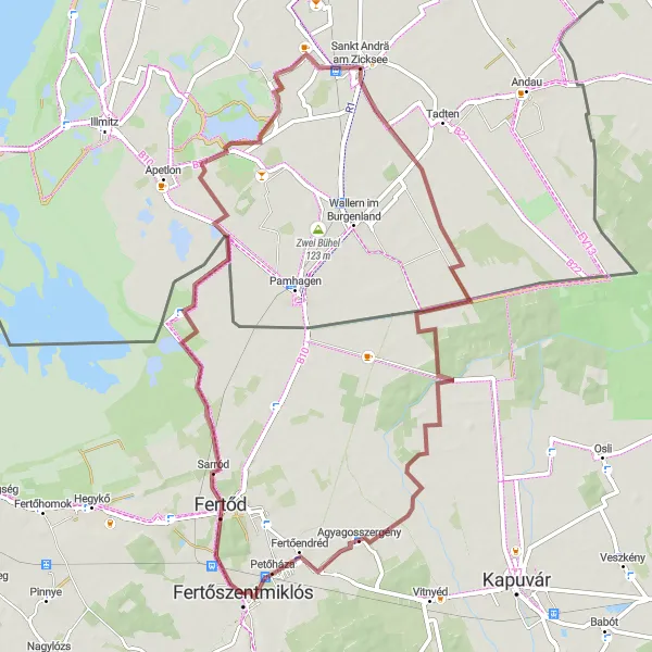
With a distance of 66 km and an ascent of 36 m, this gravel route offers a delightful cycling experience. Starting from Fertőszentmiklós, you will pass through scenic countryside and arrive in the charming village of Agyagosszergény. The route is suitable for gravel bikes and is of moderate difficulty, making it accessible for well-trained amateurs. Along the way, you will encounter highlights such as Sarród, the lowest point of Austria, Aussichtsturm, Sankt Andrä am Zicksee, and Agyagosszergény itself. These attractions offer diverse experiences, including stunning viewpoints, unique geographical features, and local cultural highlights.
gravel
66 km
36 m
Tough
Route profile
Highlights on the route
0 km
0 km
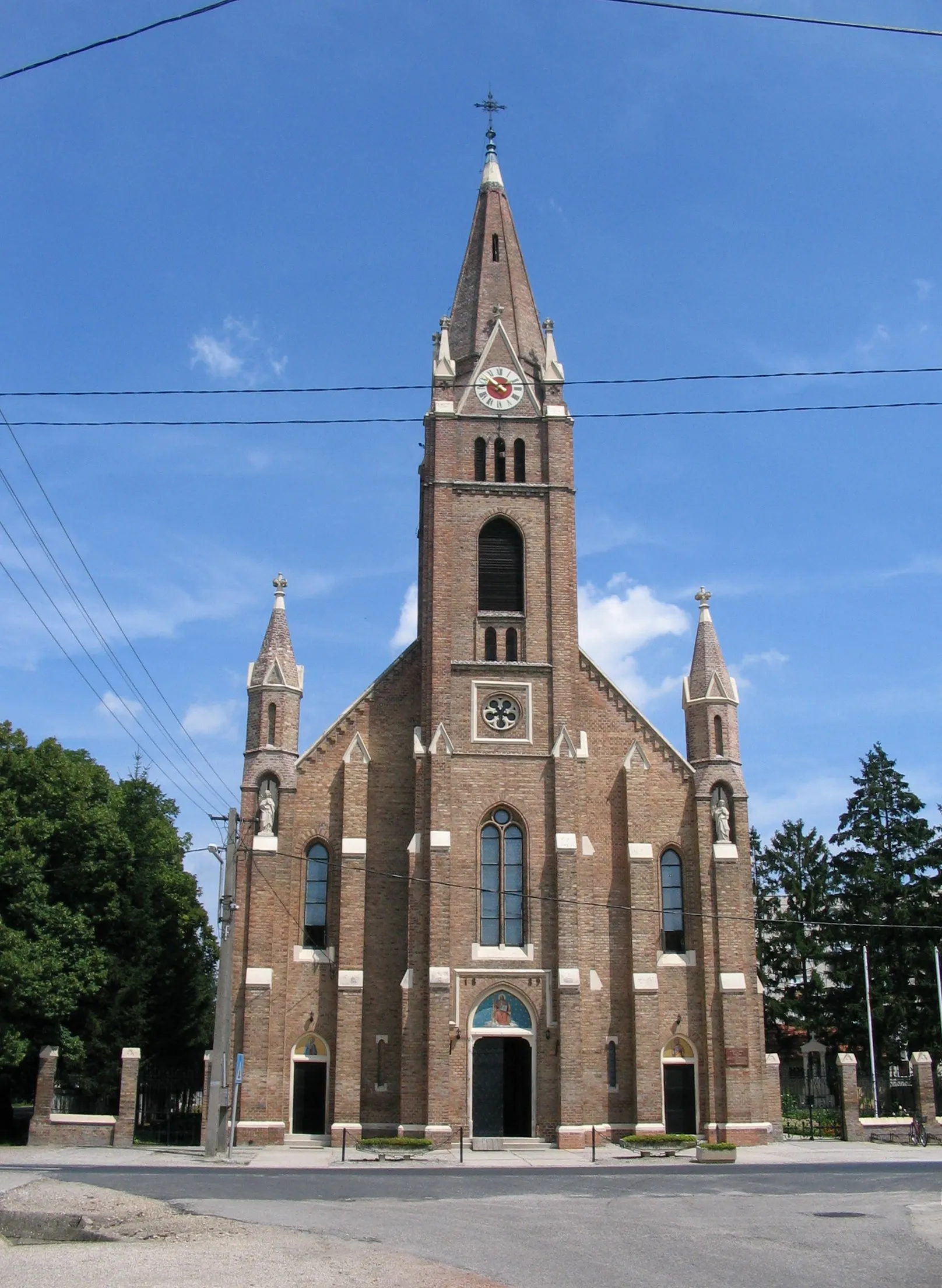
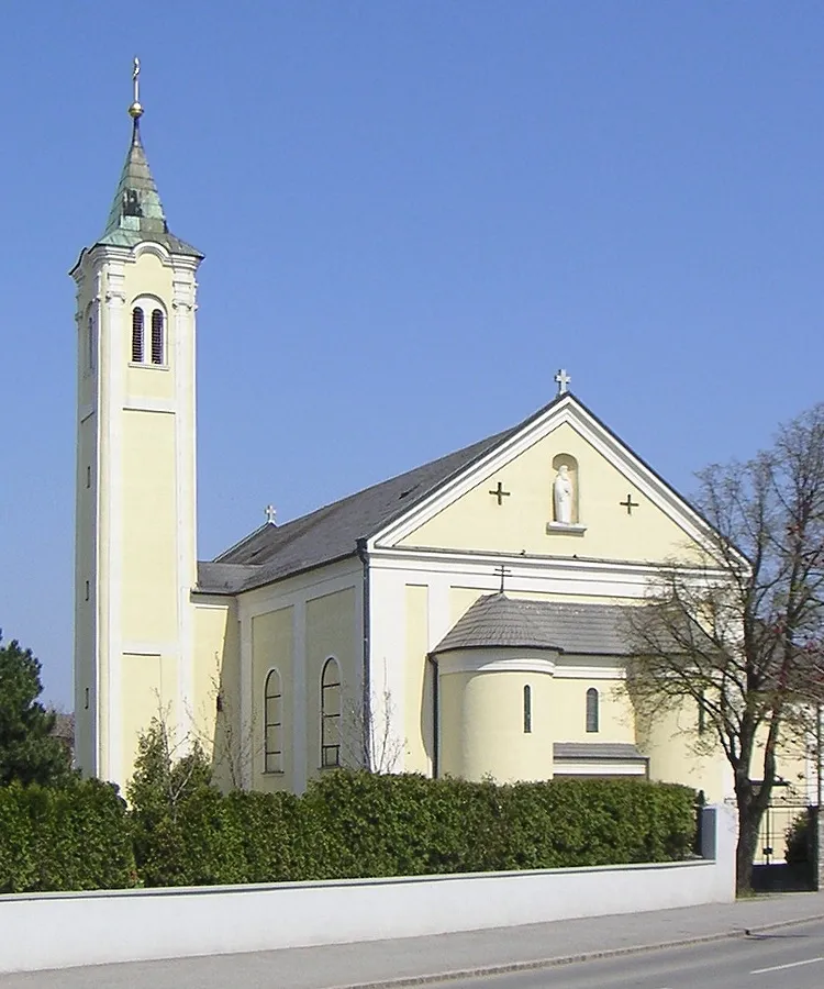
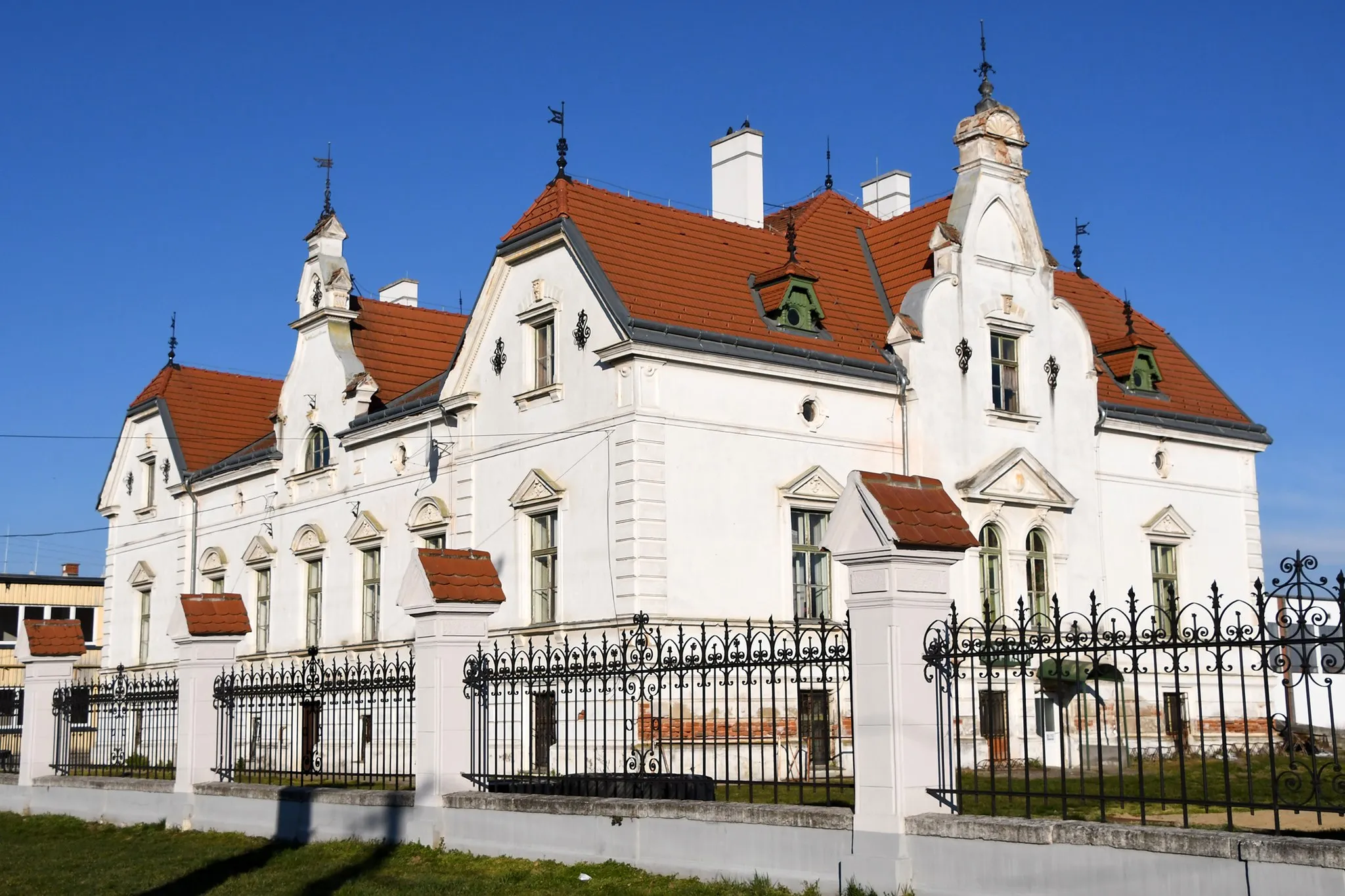
Start: Fertőszentmiklós City centerFertőszentmiklós: Scenic rides through the flat landscapes of Fertőszentmiklós.
Fertőszentmiklós is situated in the Nyugat-Dunántúl region of Hungary. As a cyclist, you'll find a mix of road cycling and gravel riding options in this area. The region is relatively flat, making it great for easy-paced rides. While there are no famous cycling spots or iconic climbs nearby, Fertőszentmiklós offers scenic routes through the Hungarian countryside. The village itself has its own charm, with cultural attractions like the Móricz Zsigmond Kulturális Központ. Overall, Fertőszentmiklós is a decent spot for cyclists looking to explore the countryside at a relaxed pace.5 km
5 km
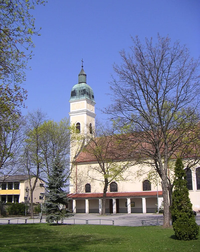
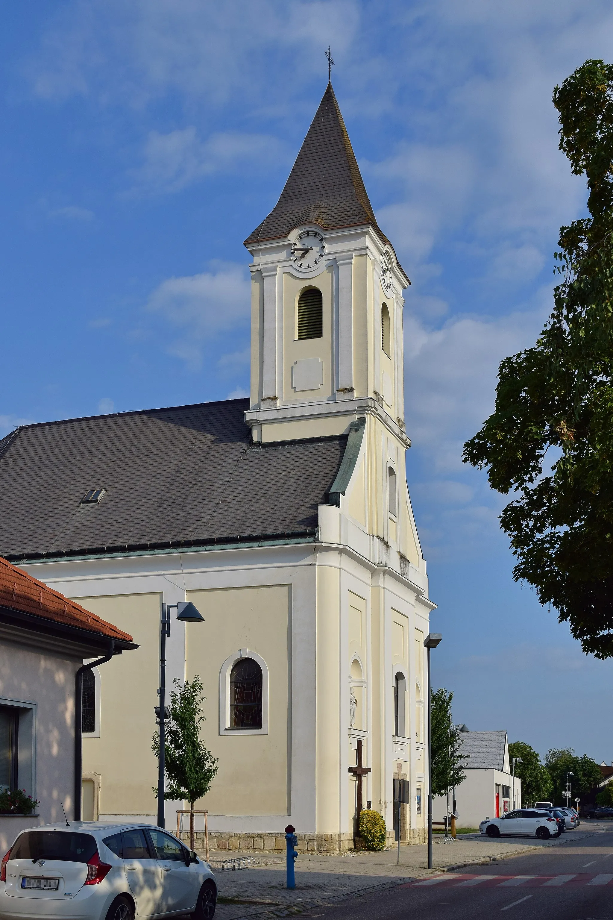
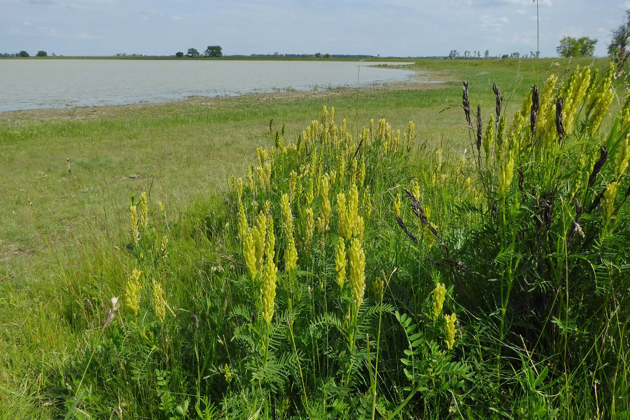
SarródVillageExplore the picturesque landscapes of Sarród and enjoy its peaceful ambiance.
19 km
19 km
Lowest point of AustriaAttractionVisit the lowest point of Austria and marvel at the unique geography of the region.
22 km
22 km
AussichtsturmViewpointTake in the scenic views from Aussichtsturm and appreciate the beauty of the surrounding area.
32 km
32 km
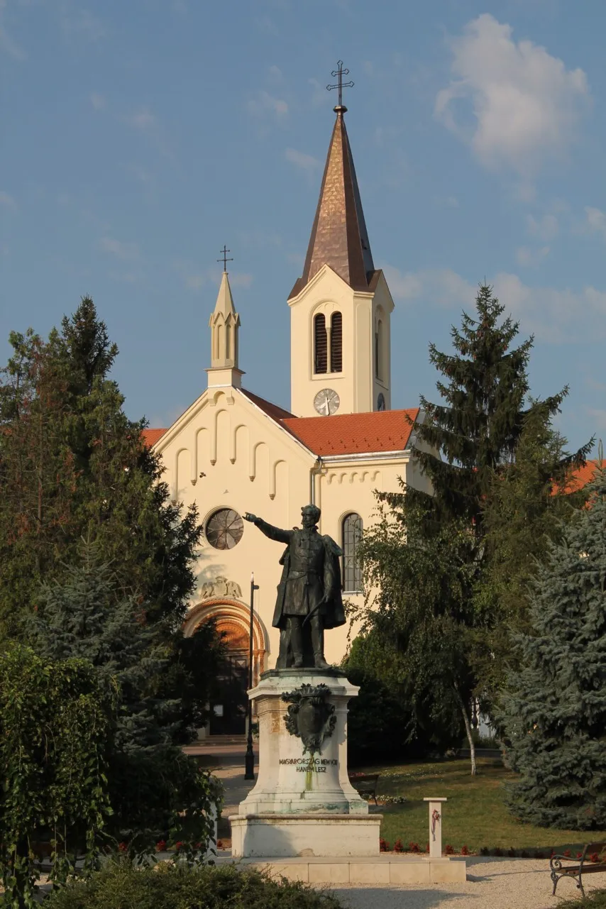
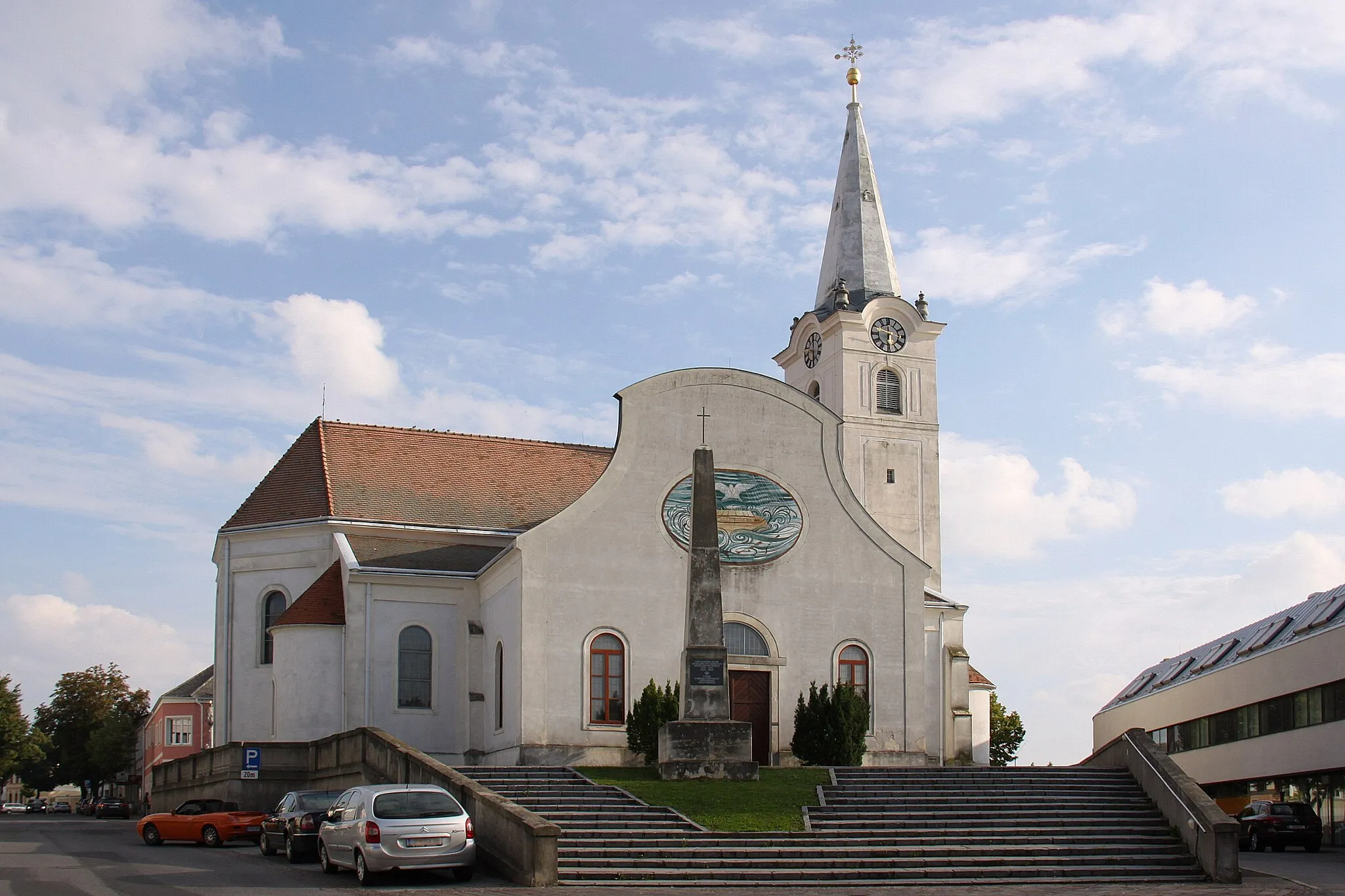
Sankt Andrä am ZickseeVillageDiscover the charming village of Sankt Andrä am Zicksee and learn about its rich cultural heritage.
60 km
60 km
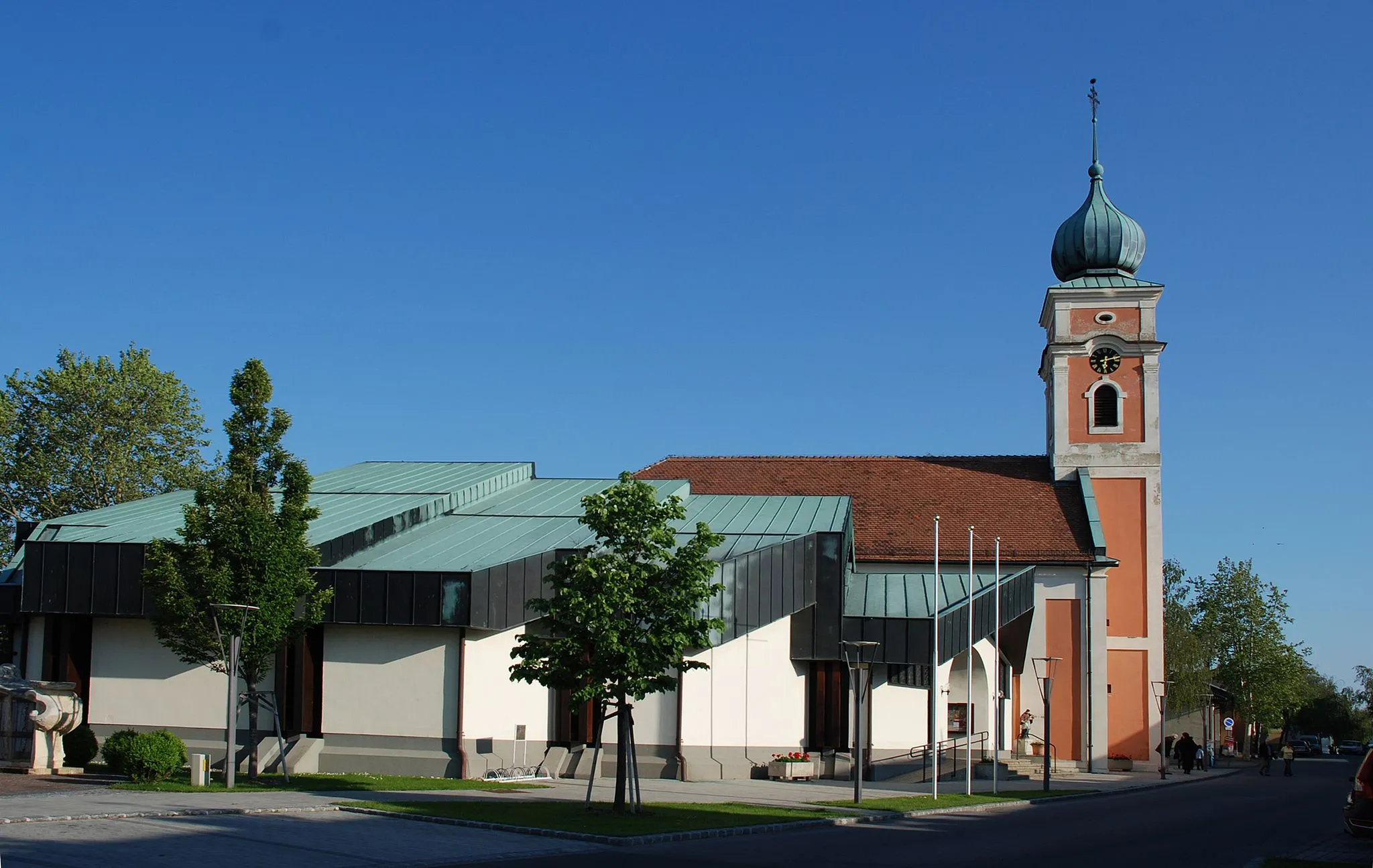
AgyagosszergényVillageImmerse yourself in the tranquil nature of Agyagosszergény and explore its captivating landscapes.
66 km
66 km
Finish: Fertőszentmiklós City centerFertőszentmiklós: Scenic rides through the flat landscapes of Fertőszentmiklós.
Cycling routes from Fertoszentmiklos:
Fertőszentmiklós to Sarród Gravel Route Fertőszentmiklós to Fertőendréd Road Route Fertőszentmiklós - Agyagosszergény Fertőszentmiklós - Agyagosszergény Fertőszentmiklós to Fertőendréd Road Route (Extended) Fertőszentmiklós - Röjtökmuzsaj Fertőszentmiklós to Hegykő Gravel Route Fertőszentmiklós - Csopod Fertőszentmiklós - Röjtökmuzsaj Fertőszentmiklós to Sopronhorpács Road Route
Cycling routes nearby: