Picturesque landscapes and satisfying cycling routes
Cycling routes from Kormend
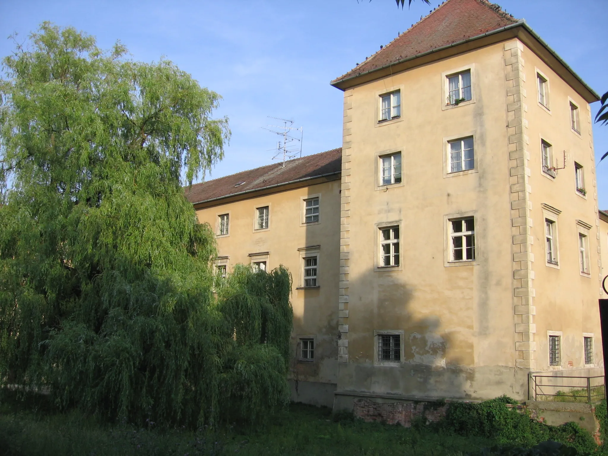
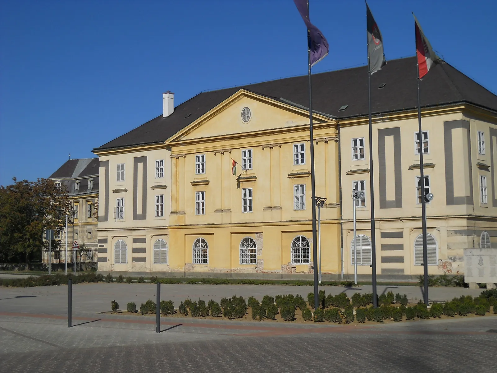
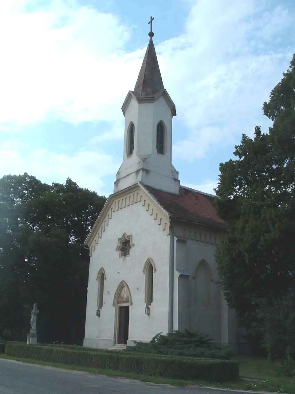
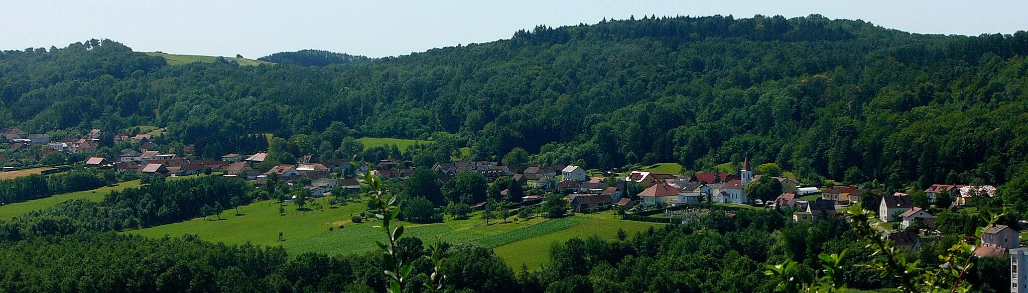
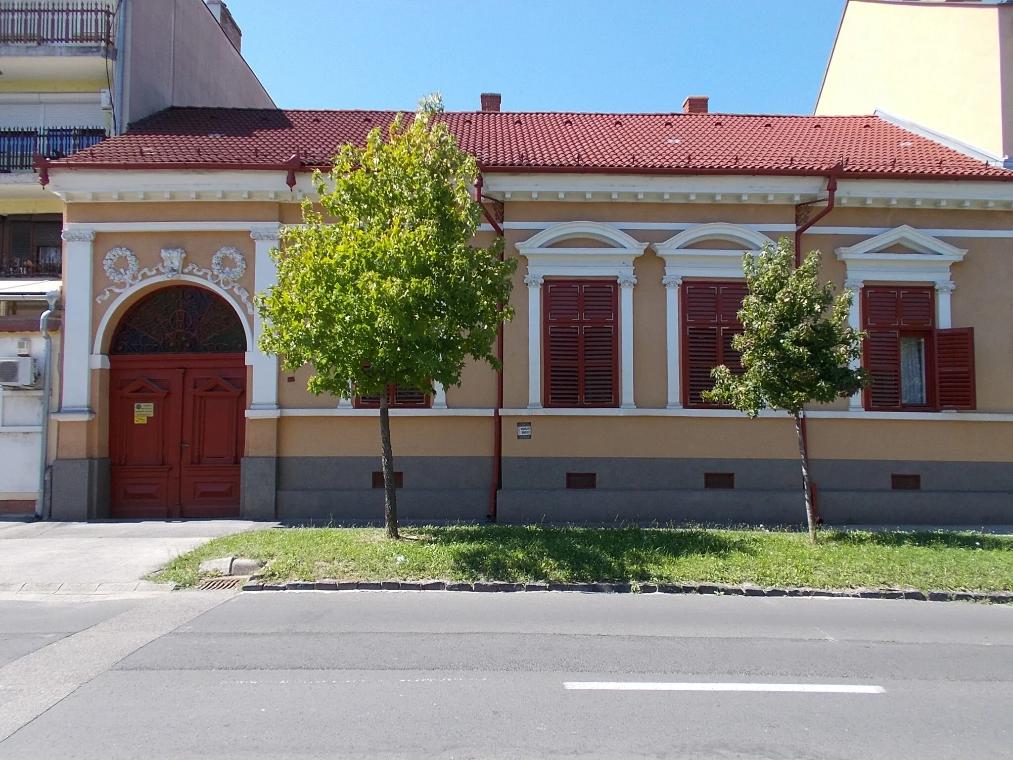
Körmend is a town located in the Nyugat-Dunántúl region of Hungary. From a cyclist's perspective, this area offers moderate terrain with rolling hills, making it suitable for both road and gravel cycling. Körmend is surrounded by beautiful landscapes, with plenty of quiet country roads to explore. For those seeking a challenge, Szabó-hegy is a nearby climb that provides stunning views. With its picturesque surroundings and satisfying cycling routes, Körmend is a recommended destination for cyclists.
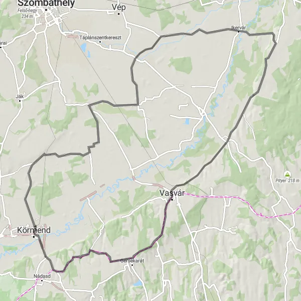
Admire the stunning Vasvári kilátó and explore the enchanting landscapes of Nemesrempehollós
Embark on an adventurous cycling expedition from Körmend to the magnificent Vasvári kilátó. This challenging route offers a total ascent of 302 meters over a distance of 97 kilometers. Along the way, make sure to explore the beautiful landscapes of Nemesrempehollós and the surrounding areas. Experience the thrill of speeding through scenic countryside and be rewarded with breathtaking views from the top of Vasvári kilátó.
Körmend - Gasztony - Szentgotthárd - Steinergipfel - Hütterische Häuser - Magyarnádalja - Szőlődomb
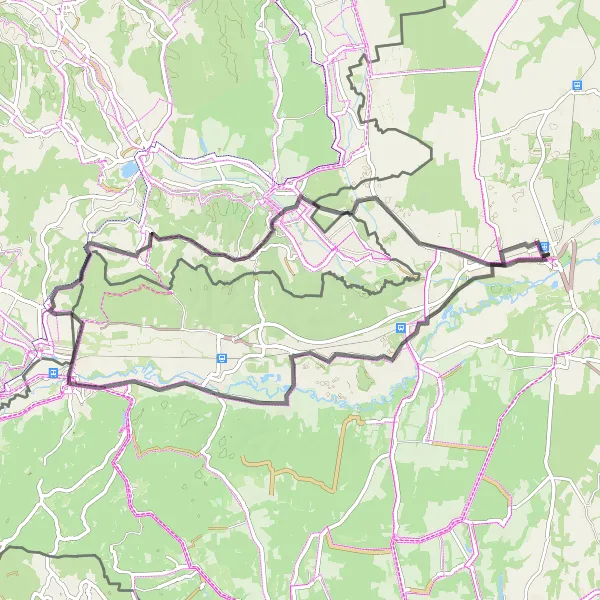
A road route with scenic highlights and charming villages along the way.
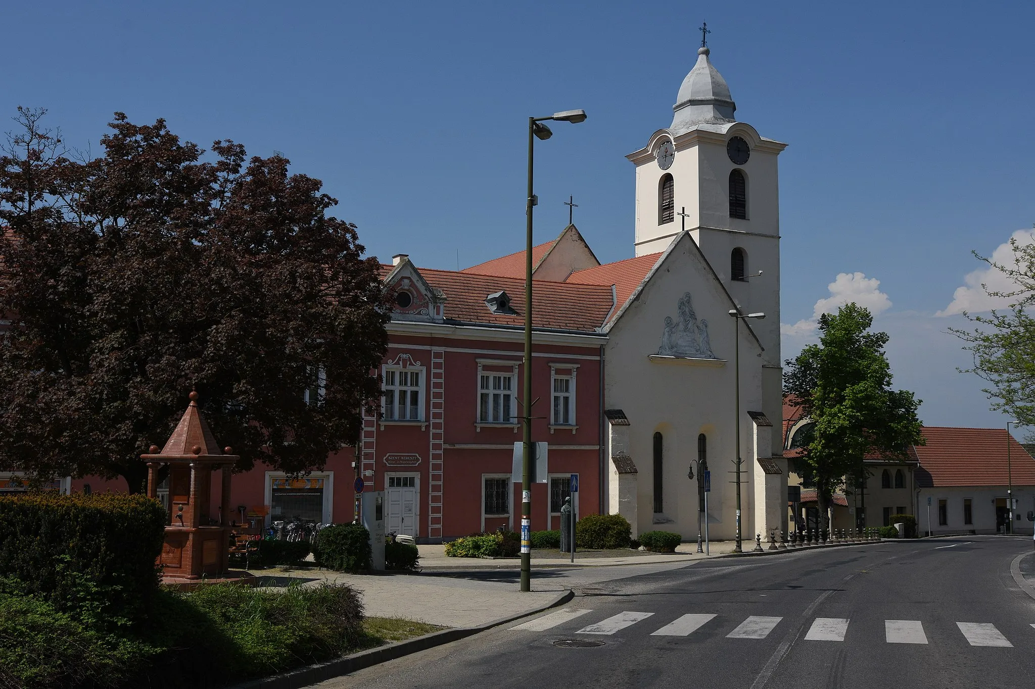
This road cycling route near Körmend takes you through scenic landscapes and historic villages. Starting in Körmend, you will cycle through picturesque countryside towards Gasztony. The village of Szentgotthárd offers a charming main square and an impressive abbey. The ascent to Steinergipfel provides a challenging climb and rewards you with a panoramic view of the surrounding area. Hütterische Häuser is a small village surrounded by vineyards and charming hamlets. Magyarnádalja features panoramic views and a peaceful atmosphere. The route ends in Szőlődomb, a perfect spot for a break and to enjoy the stunning landscapes. From Szőlődomb, you will head back to Körmend, marveling at the beauty of the region along the way.
Körmend to Kisunyom Adventure

Embark on a thrilling adventure and discover the hidden gems of Harasztifalu and Kisunyom
Get ready for an exciting cycling adventure from Körmend to Kisunyom. This route will take you through the enchanting landscapes of Harasztifalu and offer thrilling moments on two wheels. With a total ascent of 94 meters over a distance of 44 kilometers, this route is perfect for riders looking for an adventurous day out. Take a pit stop in Harasztifalu and explore its cultural heritage before continuing your journey to the scenic village of Kisunyom.

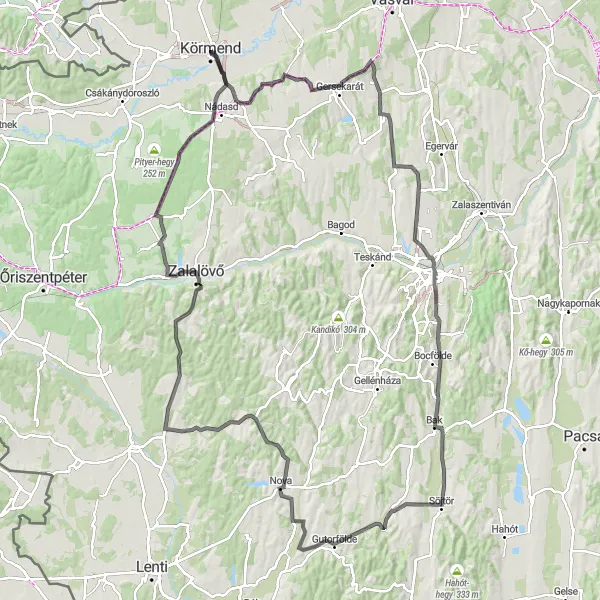
Tackle the toughest climbs and conquer legendary Cser hegy and Táborhegy
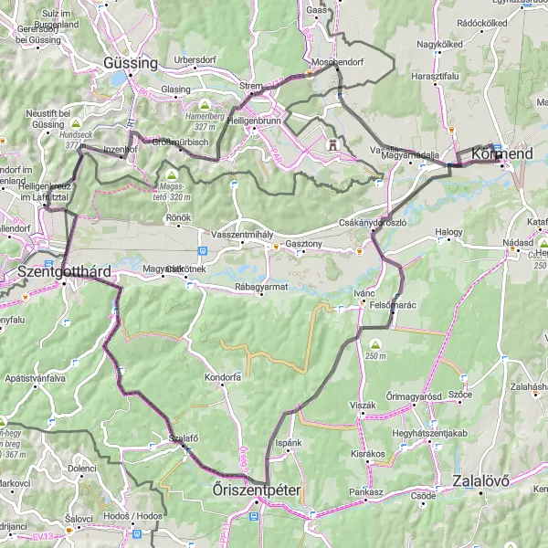
Prepare for an extreme cycling challenge as you tackle the toughest climbs from Körmend to Zalalövő. With a total ascent of 937 meters over a distance of 117 kilometers, this route is not for the faint-hearted. Conquer the legendary Cser hegy and Táborhegy, and experience the thrill of pushing yourself to the limit. Take in the breathtaking views from the summits and pause for a moment to appreciate your cycling achievements.
Conquer the challenging hills and explore the beautiful landscapes near Körmend.
Experience a thrilling cycling adventure in the Nyugat-Dunántúl region of Hungary. This round-trip route starting near Körmend offers a mix of road and gravel sections, taking you through stunning countryside and picturesque villages. With a total distance of 137 kilometers and an elevation gain of 836 meters, this route is suitable for well-trained amateur cyclists. Prepare yourself for a challenging yet rewarding ride, surrounded by the natural beauty of the region.
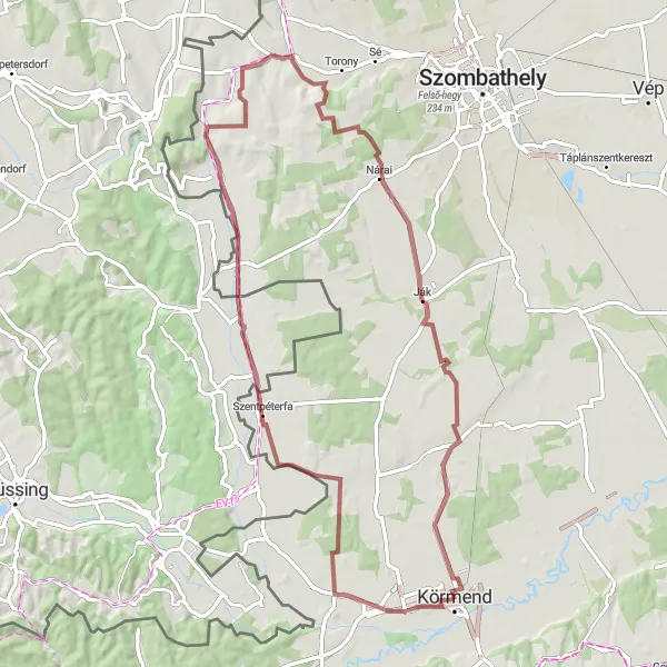
A gravel route with a mix of natural and cultural highlights.
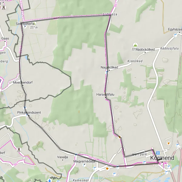
This gravel cycling route near Körmend combines beautiful natural landscapes with cultural highlights. Starting in Körmend, you will cycle through charming vineyards and picturesque landscapes towards Szőlődomb. The village of Magyarnádalja offers a tranquil atmosphere and stunning views of the surrounding countryside. As you cycle towards Oberbildein, you will cross the border into Austria and pass through traditional Austrian villages. Dozmat, located in Hungary, is another highlight along the route, known for its medieval castle and charming streets. Ják features a beautifully preserved Romanesque church, offering a glimpse into Hungary's rich cultural heritage. After exploring Ják, you will head back to Körmend, enjoying the scenic gravel roads and peaceful countryside.
Körmend to Zalalövő Loop
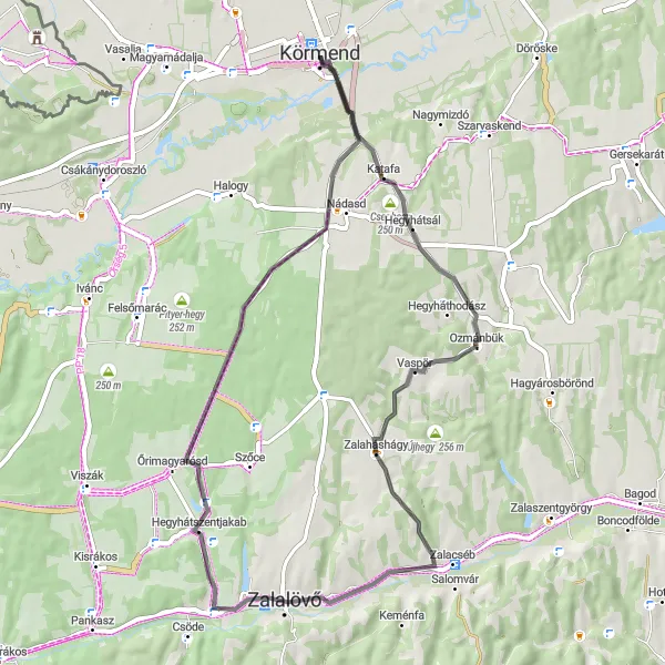
Explore the beauty of Zalalövő and the stunning Cser hegy
This scenic cycling route takes you through the charming town of Körmend to the picturesque village of Zalalövő. Along the way, you'll experience breathtaking views of Cser hegy and pedal through idyllic countryside. The route is moderately challenging, with a total ascent of 314 meters over a distance of 53 kilometers. After reaching Zalalövő, make sure to take a moment to admire the iconic Alsó-hegy.
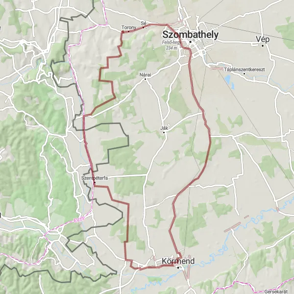
A gravel route with scenic views and unique spots along the way.
This gravel cycling route near Körmend offers a mix of natural beauty and unique spots. Starting in Körmend, you will cycle through picturesque landscapes towards Szőlődomb, where you can enjoy stunning views of the surrounding countryside. Magyarnádalja provides a peaceful atmosphere and panoramic views. As you cross the border into Austria, Oberbildein greets you with its charming streets and traditional Austrian buildings. Torony is another special spot along the route, featuring a tower that offers scenic views of the region. Kisunyom takes you through quiet roads and peaceful landscapes, perfect for enjoying the tranquility of the area. Egyházasrádóc features historical charm and a unique atmosphere. The final highlight is Esőbeálló, a covered spot where cyclists can rest and enjoy the beautiful surroundings before heading back to Körmend.
A challenging road route with a variety of highlights and beautiful landscapes.
This road cycling route near Körmend takes you through charming villages and stunning natural landscapes. Starting in Körmend, you will cycle uphill to Felsőmarác, where you can enjoy panoramic views of the surrounding countryside. Continuing on, you will pass through Szalafő, known for its well-preserved historic buildings and winding streets. Szentgotthárd is another highlight along the route, with its picturesque main square and impressive abbey. The ascent to Steinergipfel will challenge cyclists with its steep gradient, but the reward is a breathtaking view from the top. As you cycle towards Hütterische Häuser, you will pass by charming vineyards and small villages. Lahmberg offers another opportunity for a scenic photo stop, with its rolling hills and peaceful atmosphere. The final highlight of the route is Szőlődomb, where you can rest and enjoy the view before heading back to Körmend.
Discover the charm of Pinkamindszent and enjoy the scenic Szőlődomb
Embark on a delightful cycling adventure from Körmend to the charming village of Pinkamindszent. This route is perfect for cyclists looking for a leisurely ride with a few moderate challenges along the way. Enjoy the picturesque countryside as you make your way to Pinkamindszent and take in the beauty of Szőlődomb. With a total ascent of 68 meters over a distance of 36 kilometers, this route is suitable for riders of all skill levels.
Cycling routes nearby:


Nearby regions: