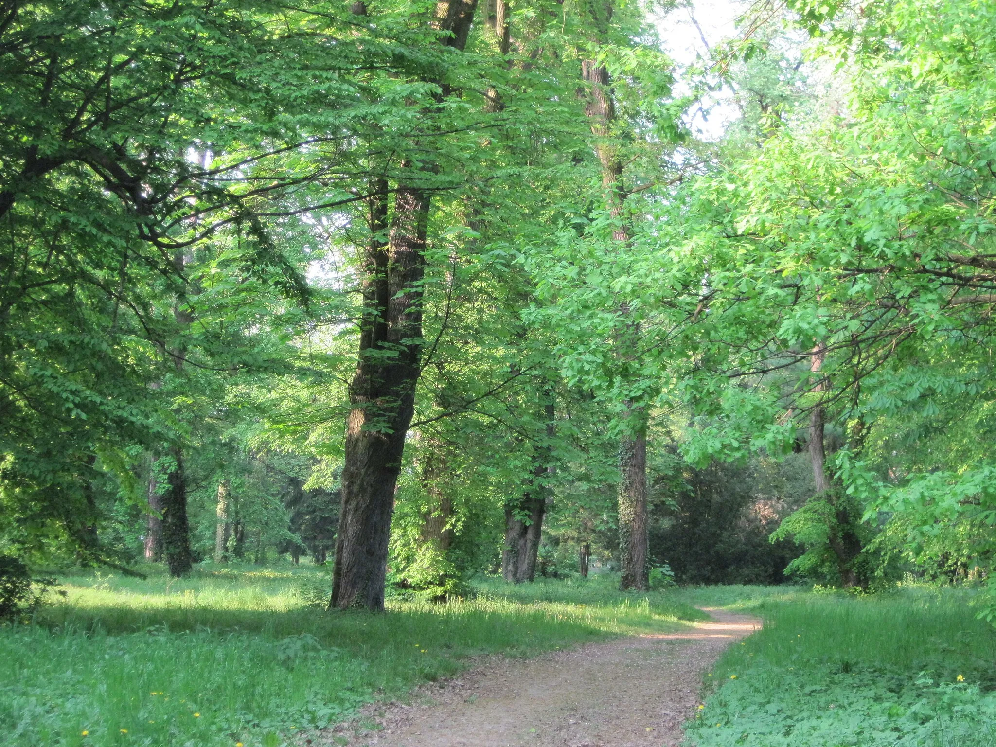
Nature Paradise for Cyclists
Cycling routes from Taplanszentkereszt
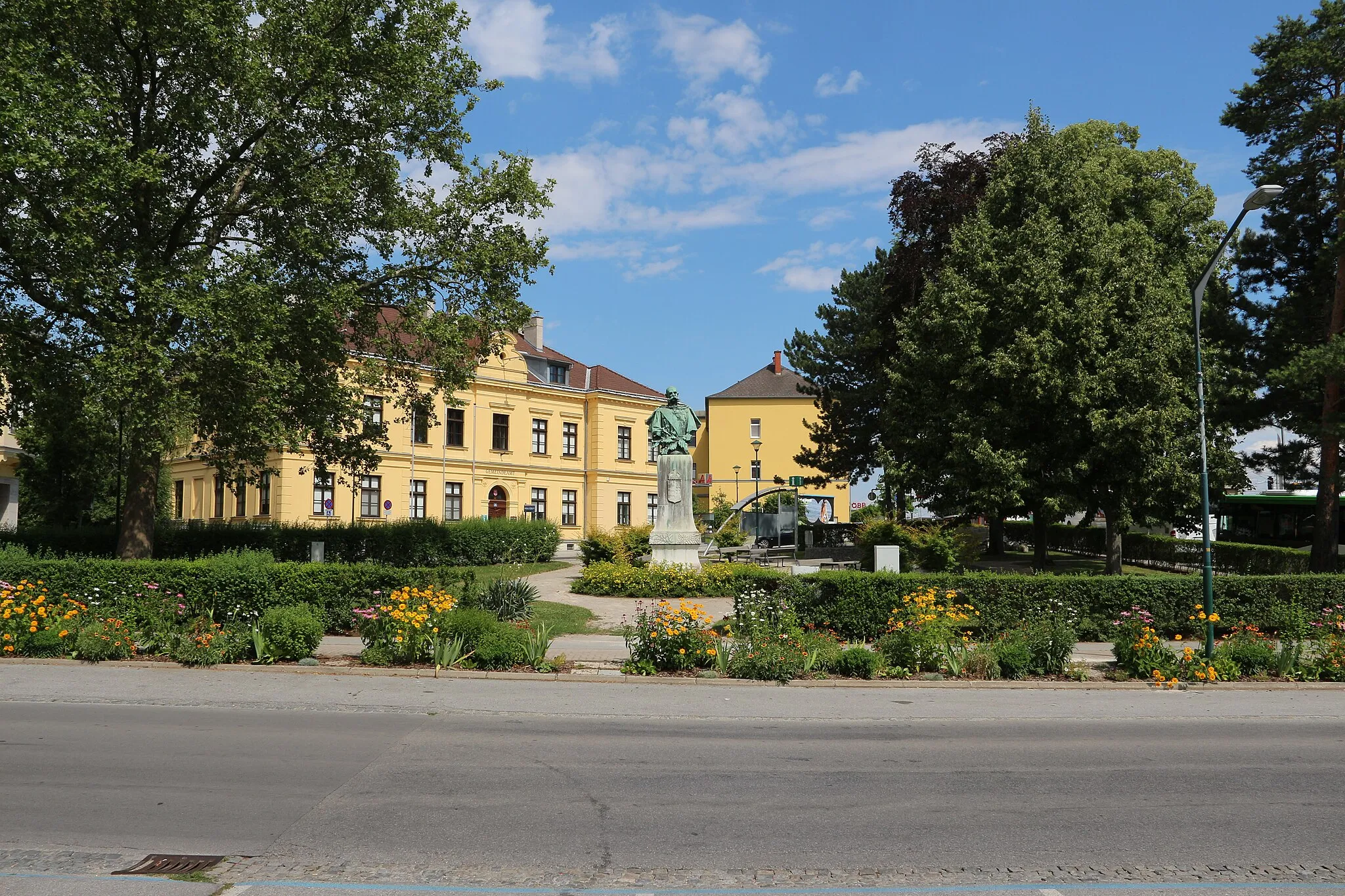
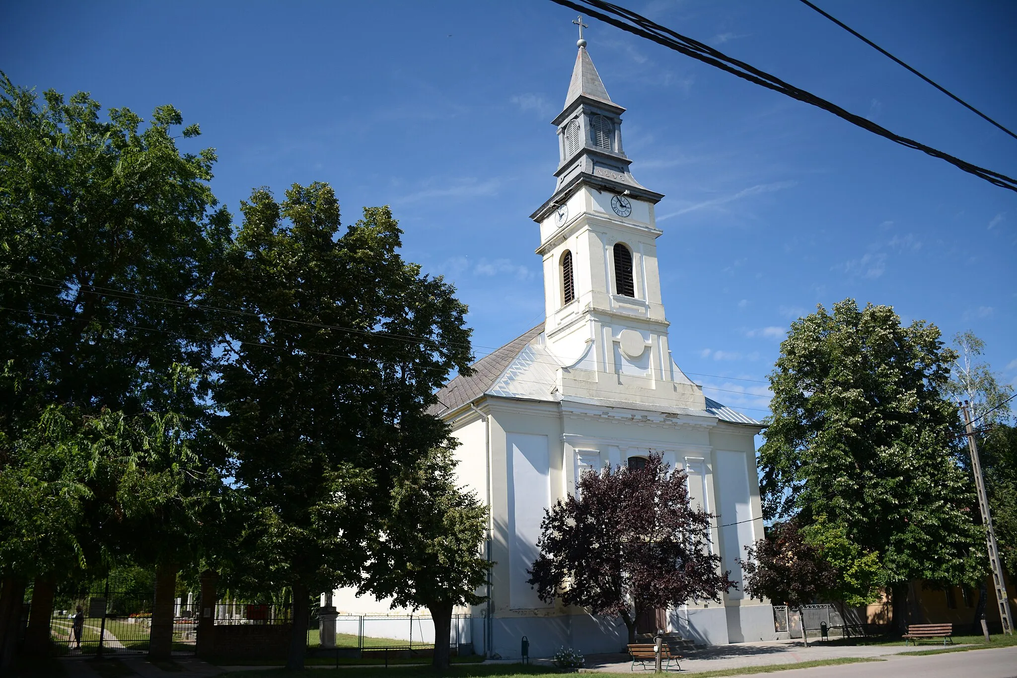
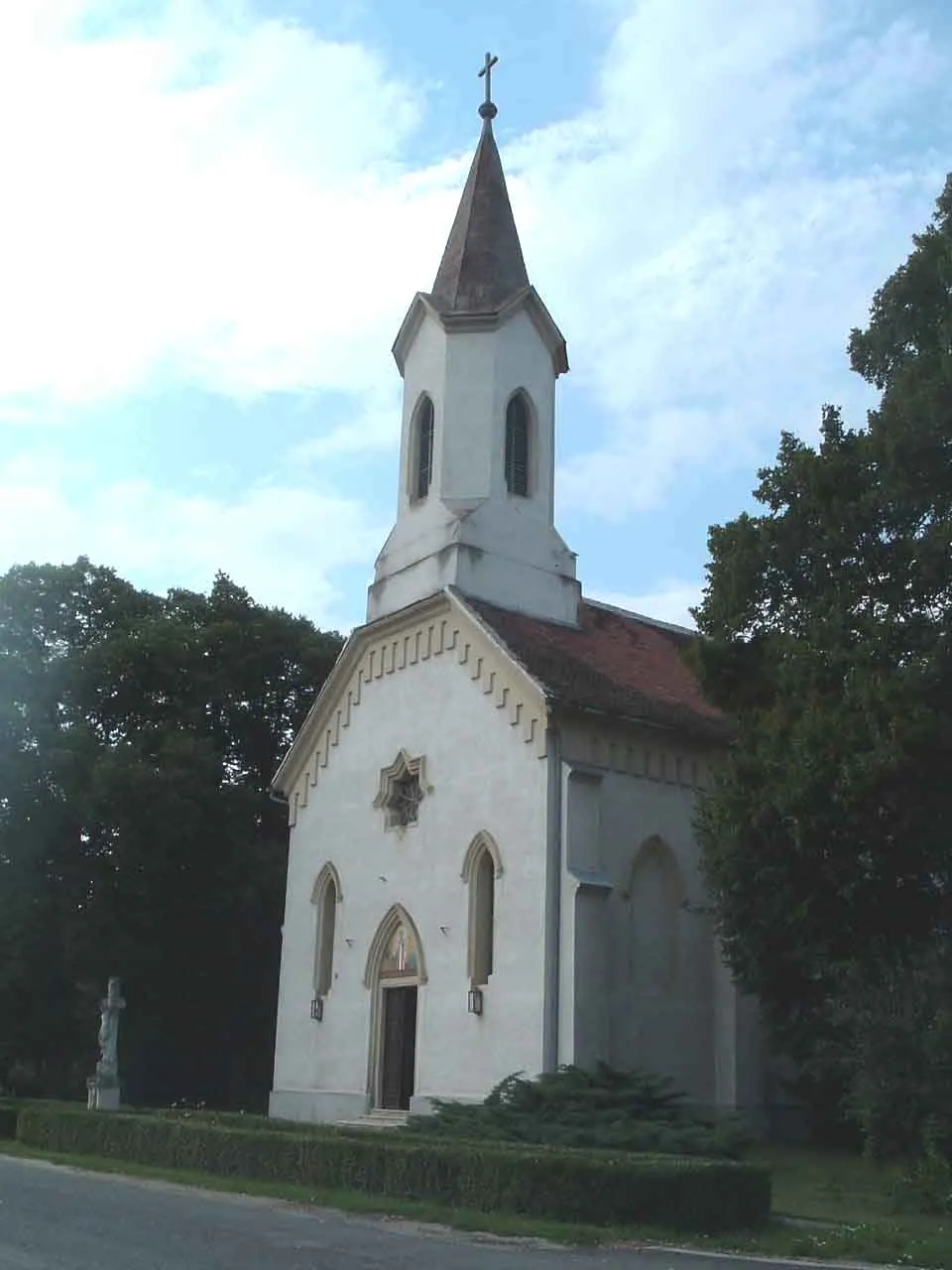
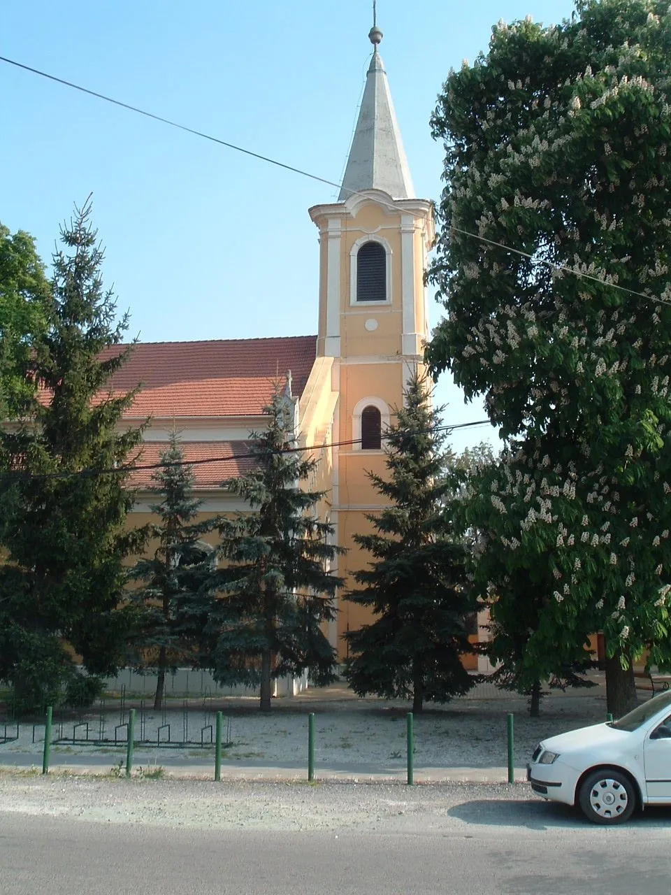
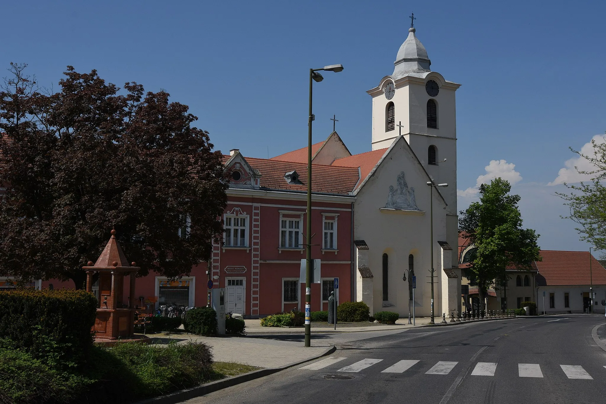
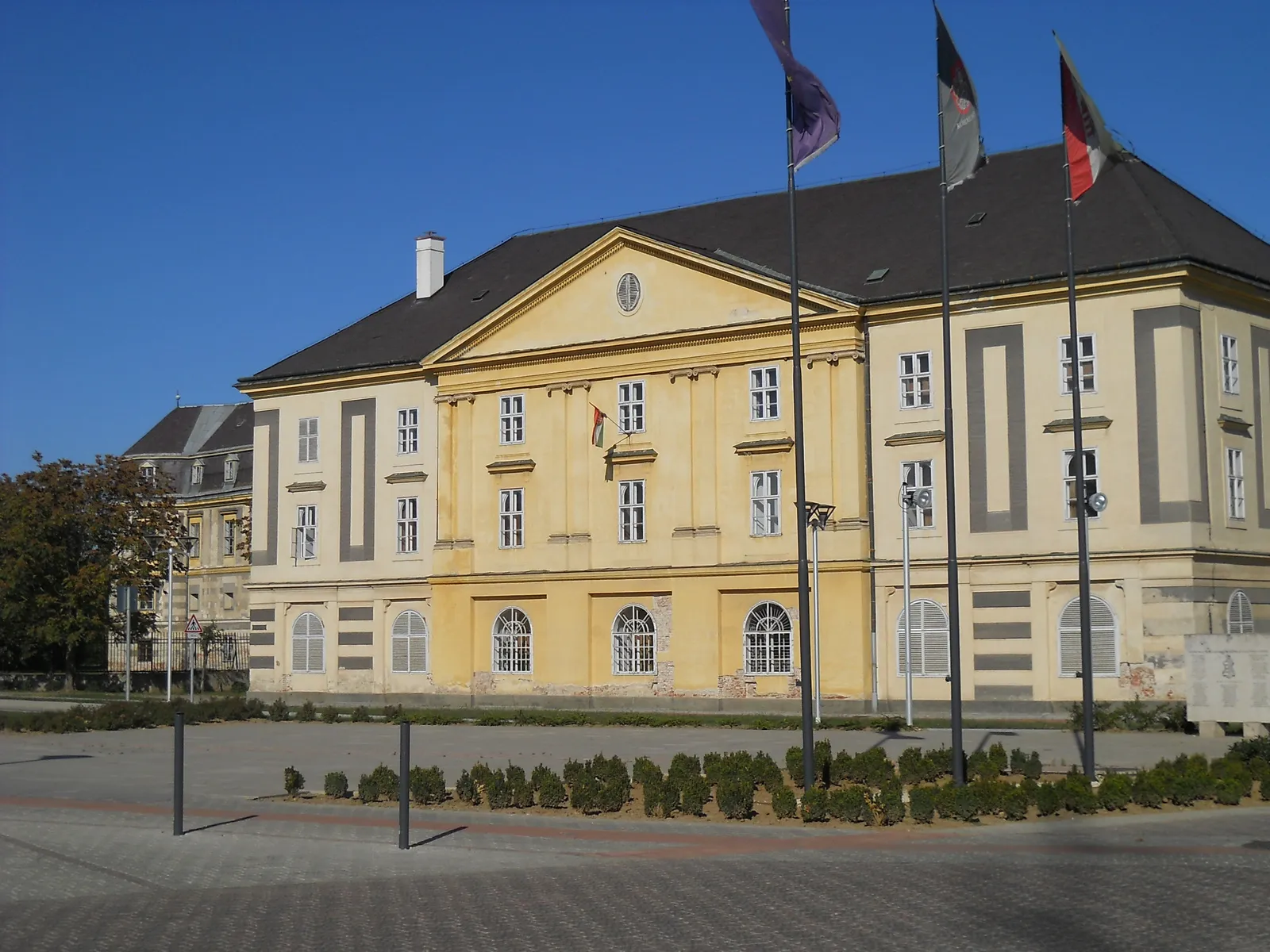
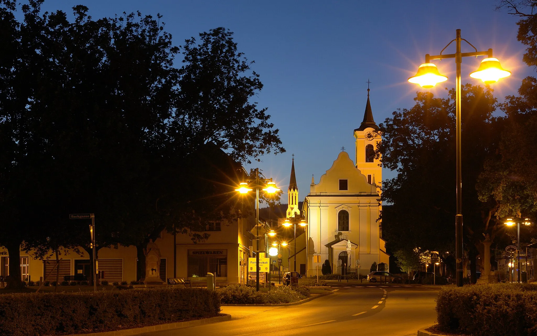
Táplánszentkereszt is a locality situated in Nyugat-Dunántúl, Hungary. From a cyclist's perspective, Táplánszentkereszt offers a variety of cycling routes surrounded by beautiful nature. The region is characterized by lush forests and rolling hills, making it ideal for both road and gravel cycling. Táplánszentkereszt is also home to several well-known climbs such as Sumagasaba, which attracts cyclists seeking a challenging ascent. With its scenic landscapes and challenging routes, Táplánszentkereszt is a popular destination for cyclists of all levels.
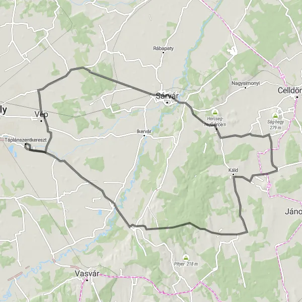
A challenging road route with diverse scenery and significant elevation gain
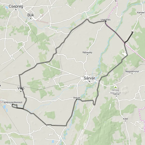
This 98 km road route offers a challenging cycling experience through diverse landscapes. Starting from Vát, you'll pass through Gérce, Vashosszúfalu, Kecske-hegy, Csempeszkopács, and finally reach Táplánfa. With a total ascent of 279m, this route provides a significant elevation gain, making it suitable for experienced and well-trained cyclists. Epicness: 4. The highlights along this route include Vát, a picturesque village known for its scenic surroundings. Gérce offers stunning views of rolling hills, while Vashosszúfalu provides a peaceful village atmosphere. Kecske-hegy is a must-visit spot, offering panoramic views of the region. Csempeszkopács is known for its traditional architecture, and Táplánfa is worth a stop for its peaceful countryside charm. Overall, this road route showcases the diverse beauty of the Nyugat-Dunántúl region, offering challenging yet rewarding cycling experiences.

An adventurous gravel route with scenic countryside and historical landmarks
Embark on this 72 km gravel route through the scenic countryside of the Nyugat-Dunántúl region. Starting from Porpác, you'll pass through Sótony, Kecske-hegy, Csempeszkopács, and finally reach Bakófa. This route offers a moderate level of difficulty, suitable for well-trained amateur cyclists. With a total ascent of 314m, it provides a satisfying challenge for those seeking a more adventurous cycling experience. Epicness: 3. Highlights along the route include Porpác, known for its beautiful scenery and rural charm. Sótony offers the opportunity to explore historical landmarks and cultural heritage. Don't miss Kecske-hegy, where you can enjoy panoramic views of the region. Csempeszkopács is worth a visit for its traditional architecture, while Bakófa provides a sensory delight with its pristine natural surroundings. Overall, this route is perfect for cyclists looking to combine adventure and scenic beauty while exploring the Nyugat-Dunántúl region.

A scenic gravel route passing through picturesque villages and natural landscapes
This 59 km gravel route takes you through the charming villages of Gyöngyösszőlős, Kőszegfalva, Salköveskút, and Vép. Along the way, you'll enjoy picturesque countryside views, peaceful rural roads, and the opportunity to explore local cultural and historical landmarks. The route offers a moderate level of difficulty, making it suitable for well-trained amateur cyclists. With a total ascent of 197m, it is a relatively gentle ride for those seeking a relaxing cycling experience. Epicness: 3. The highlights of this route include the village of Gyöngyösszőlős, known for its charming architecture and cultural heritage, and the historic town of Kőszegfalva with its medieval castle. Another highlight is Salköveskút, a small village renowned for its natural mineral water springs. Finally, Vép is worth a visit for its traditional Hungarian countryside charm. Overall, this route offers a delightful cycling experience through the beautiful countryside of the Nyugat-Dunántúl region.
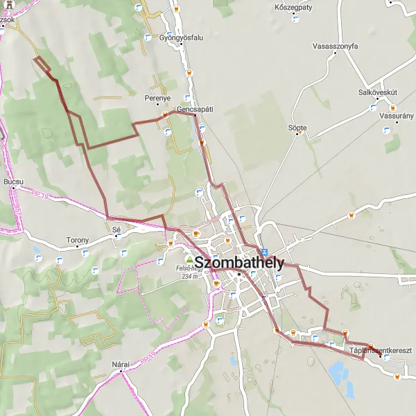
A scenic gravel route with historical and natural highlights
Experience the beauty of the Nyugat-Dunántúl region with this 49 km gravel route. Starting from Gyöngyösszőlős, you'll pass through the picturesque villages of Gencsapáti and Bogát. The route offers a moderate level of difficulty, making it suitable for well-trained amateur cyclists. With a total ascent of 169m, this route provides a challenging yet enjoyable cycling experience. Epicness: 3. Highlights on this route include the village of Gyöngyösszőlős, known for its charming architecture and cultural heritage. Gencsapáti is home to historical landmarks, including a medieval church. In Bogát, you'll have the opportunity to explore the surrounding natural landscapes and enjoy stunning views. Overall, this route offers a perfect blend of historical and natural attractions, making it a delightful choice for cycling enthusiasts.

Embark on a scenic road cycling journey enriched with historic landmarks and beautiful landscapes.
Combine history and natural beauty on this 57 km road cycling route near Táplánszentkereszt. With a moderately challenging ascent of 164 meters, this route offers splendid panoramic views of West Transdanubia's picturesque countryside. Starting from Táplánszentkereszt, you'll come across highlights such as Alsó-hegy, Bozsok, Holt-hegy, Gencsapáti, and Gyöngyösszőlős. Experience the cultural richness of the region as you ride past historic landmarks and immerse yourself in the traditional charm of charming villages. Undoubtedly, this scenic journey will leave you with lasting memories of West Transdanubia's allure.

Experience the diversity of West Transdanubia while cycling through picturesque villages.
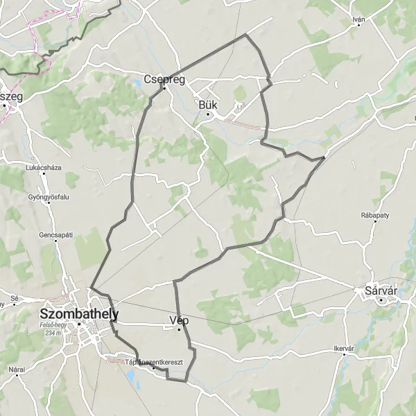
This round-trip cycling route starting near Táplánszentkereszt takes you on a journey through the beautiful landscapes of West Transdanubia. With a total distance of 127 km and an ascent of 930 meters, this road route offers a challenging yet rewarding experience for intermediate to advanced riders. Along the way, you'll be amazed by the natural beauty of Nárai, Kohfidisch, Stefansberg, Eisenzicken, Tauchen, Weidenhöhe, Langeck, Apfalter, Szulejmán-kilátó, Gencsapáti, and Gyöngyösszőlős. These highlights provide opportunities to explore charming villages and discover hidden gems of the region.
Embark on a thrilling gravel cycling journey through the unspoiled natural beauty of West Transdanubia.
Get off the beaten path and discover the untouched landscapes of West Transdanubia on this 56 km gravel cycling route. With a relatively low ascent of 86 meters, this route is suitable for riders of all skill levels. Immerse yourself in the breathtaking scenery as you ride through Nemesrempehollós, Magyarszecsőd, Ják, and Zarkaháza. These hidden gems, offering peace and serenity, provide an unforgettable off-road adventure. Revel in the freedom and tranquility of cycling on gravel roads while surrounded by West Transdanubia's natural beauty.
Immerse yourself in the cultural and natural wonders of West Transdanubia on this road cycling route.
Explore the hidden treasures of West Transdanubia on this 97 km road cycling route. With a relatively low ascent of 210 meters, this route is ideal for beginner to intermediate cyclists looking for a scenic adventure. Along the way, you'll encounter highlights such as Vát, Vasegerszeg, Ostffyasszonyfa, Sótony, Meggyeskovácsi, and Tanakajd. Discover architectural gems, charming villages, and breathtaking landscapes as you pedal through the region. Combining cultural heritage and scenic beauty, this route provides a delightful ride for anyone interested in exploring the heart of West Transdanubia.
Embark on a delightful road cycling journey through picturesque landscapes and serene villages.
Cycle through scenic landscapes and serene villages on this 80 km road cycling route. With an ascent of 194 meters, this route offers moderately challenging sections suitable for intermediate riders. Pass through Söpte, Iklanberény, Bő, Vát, and Vép, and experience the unhurried pace of life in West Transdanubia. Enjoy the picturesque landscapes and immerse yourself in the tranquility of these charming villages. A perfect blend of natural beauty and cultural heritage, this cycling journey promises an unforgettable experience for all enthusiasts.
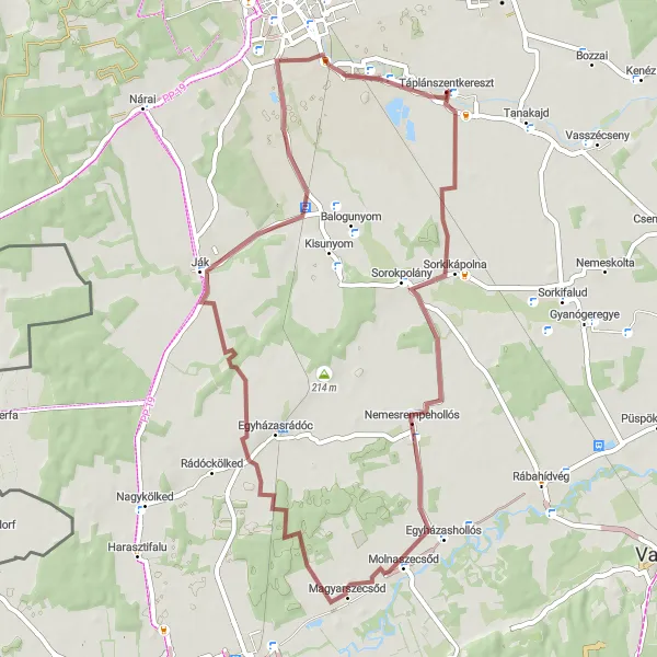
A scenic gravel loop featuring historical landmarks and picturesque landscapes
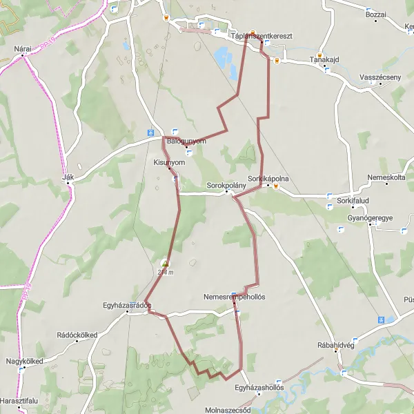
This 42 km gravel route takes you on a loop from Táplánszentkereszt, passing through Nemesrempehollós and Kisunyom. The route offers a moderate level of difficulty, making it suitable for well-trained amateur cyclists. With a total ascent of 79m, it is a relatively gentle ride that allows you to take in the beautiful countryside scenery. Epicness: 2. Highlights along the route include Nemesrempehollós, known for its historical landmarks and traditional rural architecture. Kisunyom offers a peaceful atmosphere and the opportunity to explore the local culture. Finally, Táplánszentkereszt itself is worth a visit for its charming village center. Overall, this route provides a delightful cycling experience through scenic landscapes and historical villages.
Cycling routes nearby:


Nearby regions: