Varied landscapes and charming villages
A road cycling route starting from Taplanszentkereszt
Experience the diversity of West Transdanubia while cycling through picturesque villages.
Map

This round-trip cycling route starting near Táplánszentkereszt takes you on a journey through the beautiful landscapes of West Transdanubia. With a total distance of 127 km and an ascent of 930 meters, this road route offers a challenging yet rewarding experience for intermediate to advanced riders. Along the way, you'll be amazed by the natural beauty of Nárai, Kohfidisch, Stefansberg, Eisenzicken, Tauchen, Weidenhöhe, Langeck, Apfalter, Szulejmán-kilátó, Gencsapáti, and Gyöngyösszőlős. These highlights provide opportunities to explore charming villages and discover hidden gems of the region.
road
127 km
930 m
Tough
Route profile
Highlights on the route
0 km
0 km
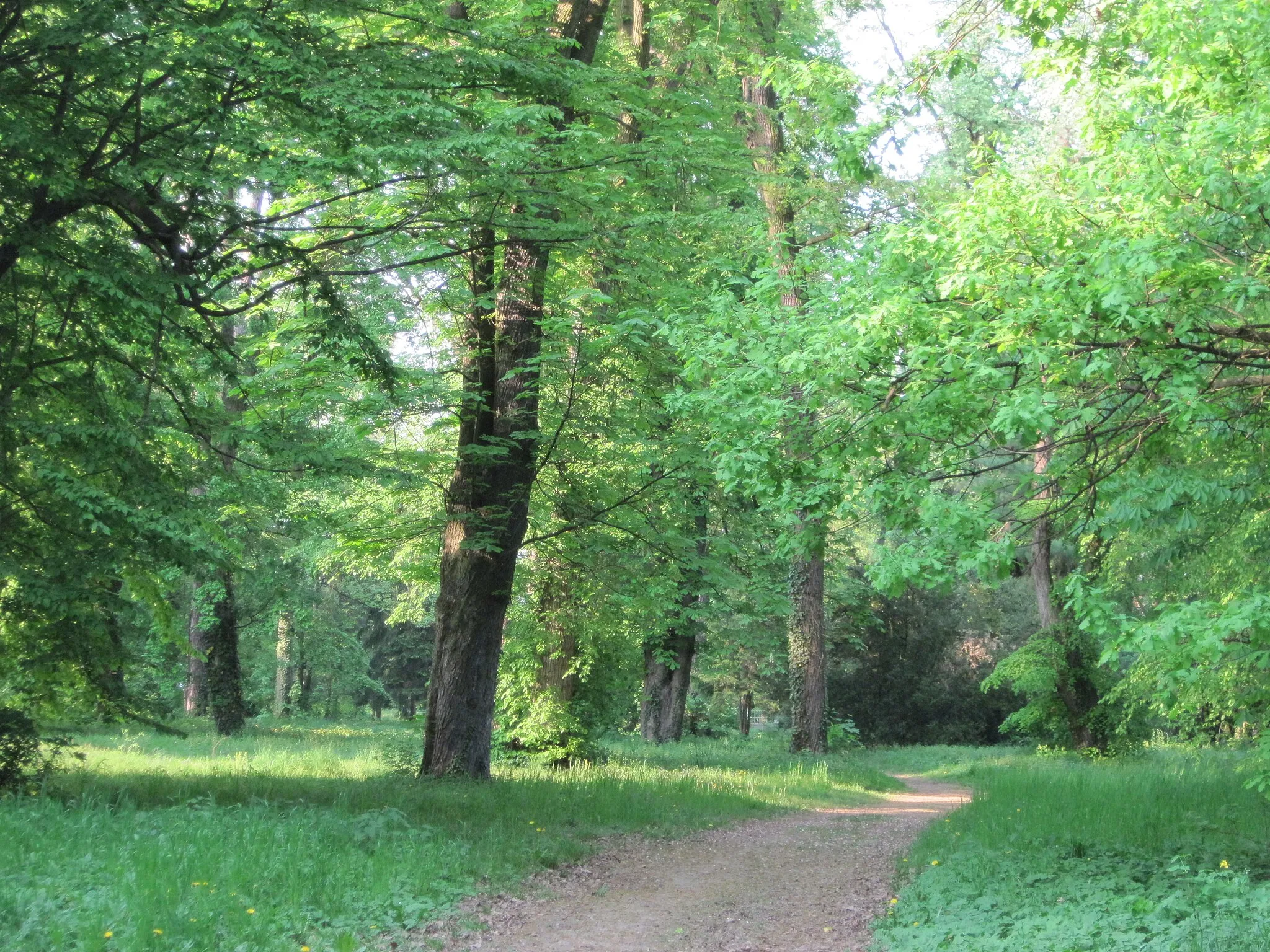
Start: Táplánszentkereszt Village centerTáplánszentkereszt: Nature Paradise for Cyclists
Táplánszentkereszt is a locality situated in Nyugat-Dunántúl, Hungary. From a cyclist's perspective, Táplánszentkereszt offers a variety of cycling routes surrounded by beautiful nature. The region is characterized by lush forests and rolling hills, making it ideal for both road and gravel cycling. Táplánszentkereszt is also home to several well-known climbs such as Sumagasaba, which attracts cyclists seeking a challenging ascent. With its scenic landscapes and challenging routes, Táplánszentkereszt is a popular destination for cyclists of all levels.13 km
13 km
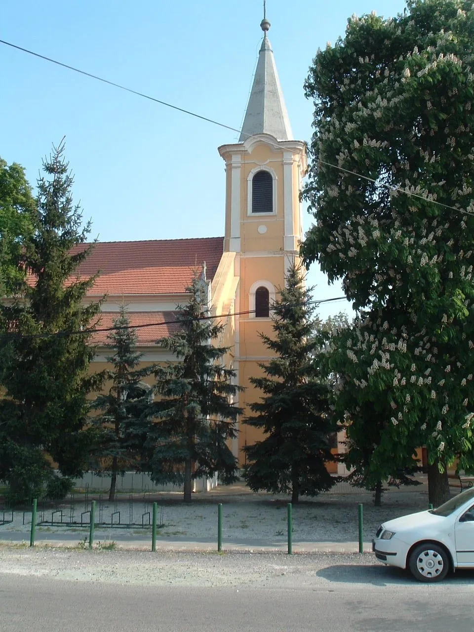
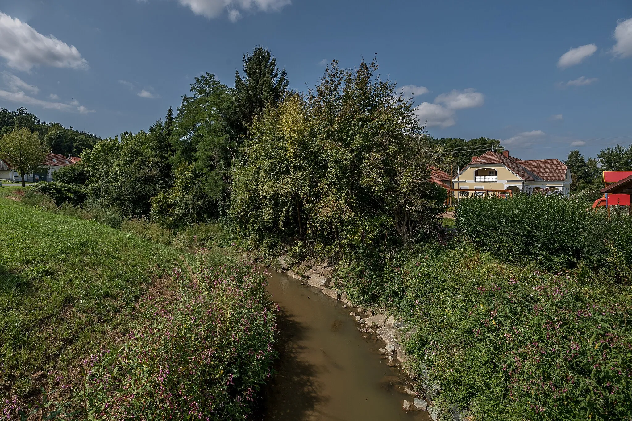
NáraiVillageNárai offers stunning views of rolling hills and vineyards.
33 km
33 km
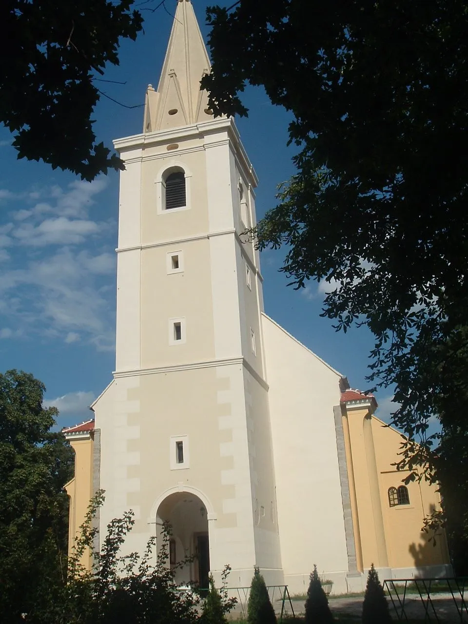
KohfidischVillageKohfidisch is a small Austrian village known for its traditional architecture.
48 km
48 km
Stefansberg370 mPeakStefansberg is a famous cycling spot with challenging uphill sections and breathtaking vistas.
49 km
49 km
EisenzickenVillageEisenzicken is surrounded by beautiful countryside, perfect for peaceful cycling.
66 km
66 km
TauchenVillageTauchen is a quaint village where you can take a break and enjoy local hospitality.
66 km
66 km
Weidenhöhe523 mPeakWeidenhöhe offers panoramic views over the rolling hills.
82 km
82 km
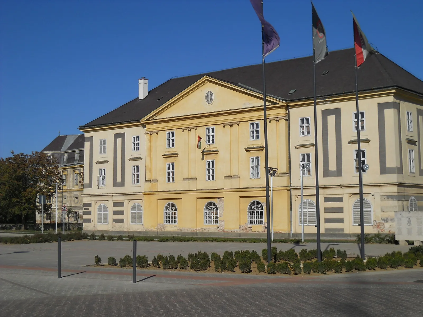
LangeckVillageLangeck is known for its historic castle and picturesque surroundings.
90 km
90 km
Apfalter389 mPeakApfalter is a hidden gem with charming traditional houses and stunning landscapes.
97 km
97 km
Szulejmán-kilátóViewpointSzulejmán-kilátó is a lookout point offering breathtaking views of the surrounding nature.
111 km
111 km
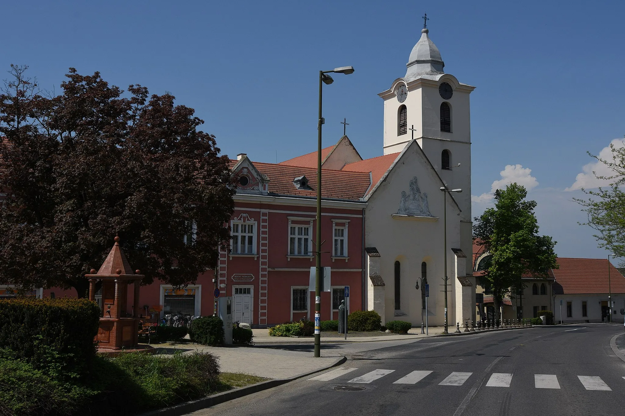
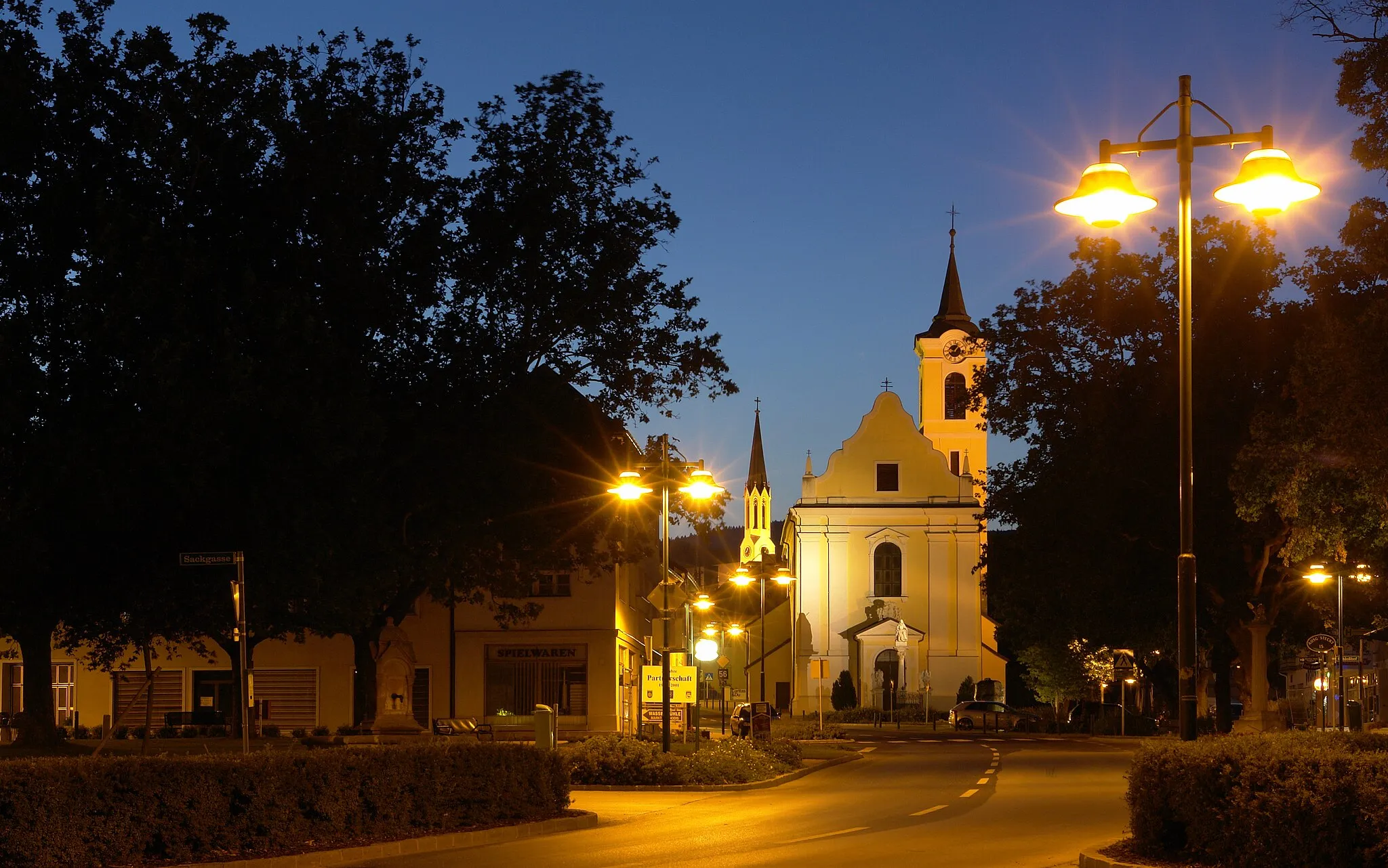
GencsapátiVillageGencsapáti is a quaint village with historic landmarks and a vibrant atmosphere.
120 km
120 km
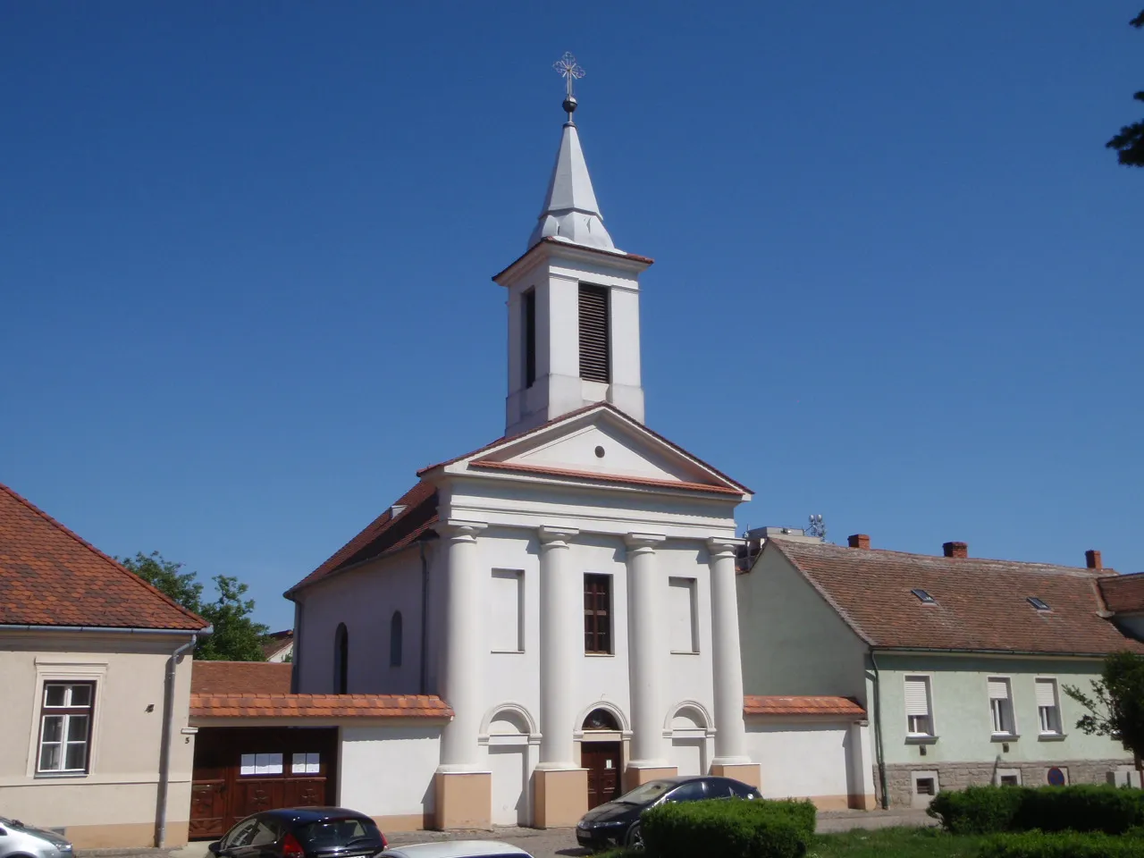
GyöngyösszőlősSub-urbGyöngyösszőlős is a wine-producing village where you can taste local varieties.
127 km
127 km
Finish: Táplánszentkereszt Village centerTáplánszentkereszt: Nature Paradise for Cyclists
Cycling routes from Taplanszentkereszt:
Nemesrempehollós - Kisunyom - Táplánszentkereszt Gravel Route Gyöngyösszőlős - Kőszegfalva - Salköveskút - Vép Gravel Route Gyöngyösszőlős - Gencsapáti - Bogát Gravel Route Vát - Gérce - Vashosszúfalu - Kecske-hegy - Csempeszkopács - Táplánfa Road Route Scenic ride with historic landmarks Cultural heritage and scenic beauty Picturesque landscapes and serene villages Porpác - Sótony - Kecske-hegy - Csempeszkopács - Bakófa Gravel Route Off-road adventure through scenic landscapes Varied landscapes and charming villages
Cycling routes nearby: