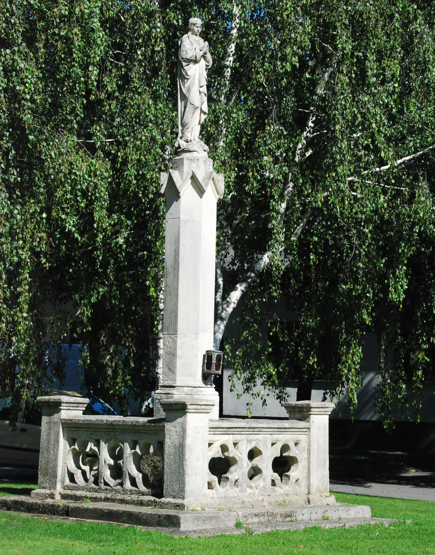
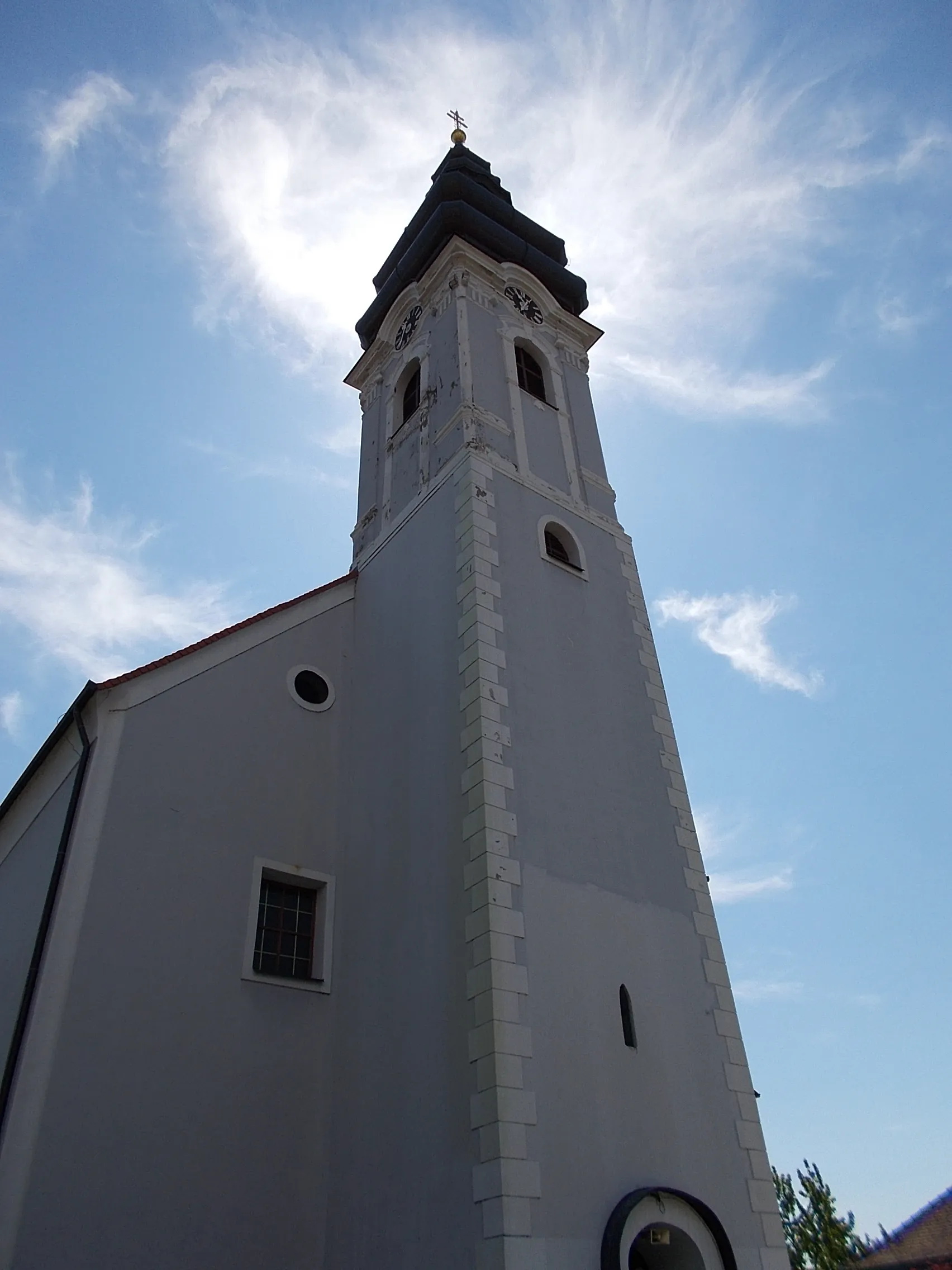
Varied terrain and serene countryside await cyclists in Murakeresztúr.
Cycling routes from Murakeresztur
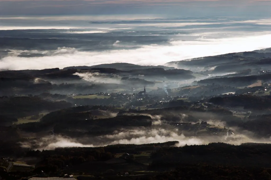
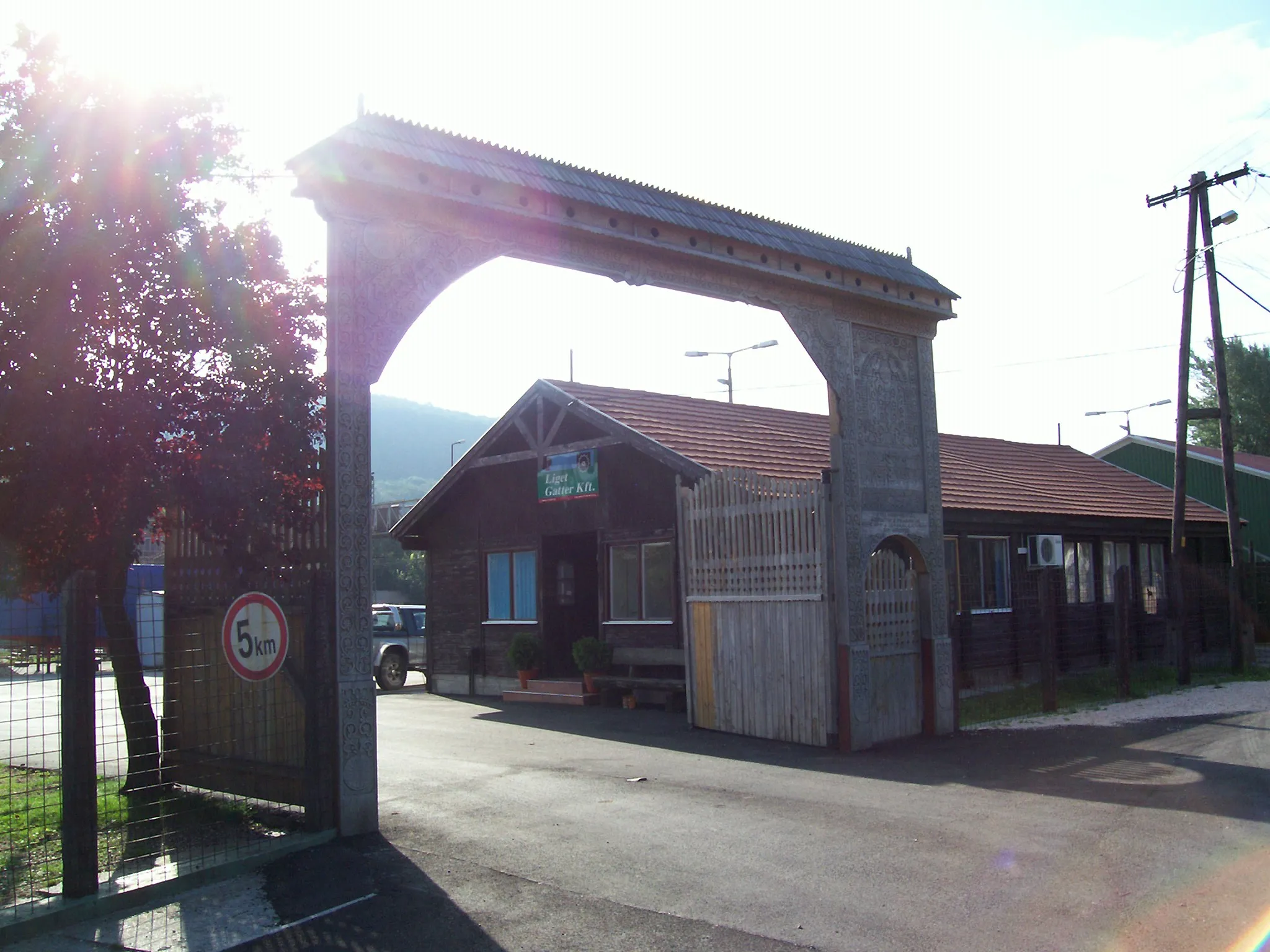
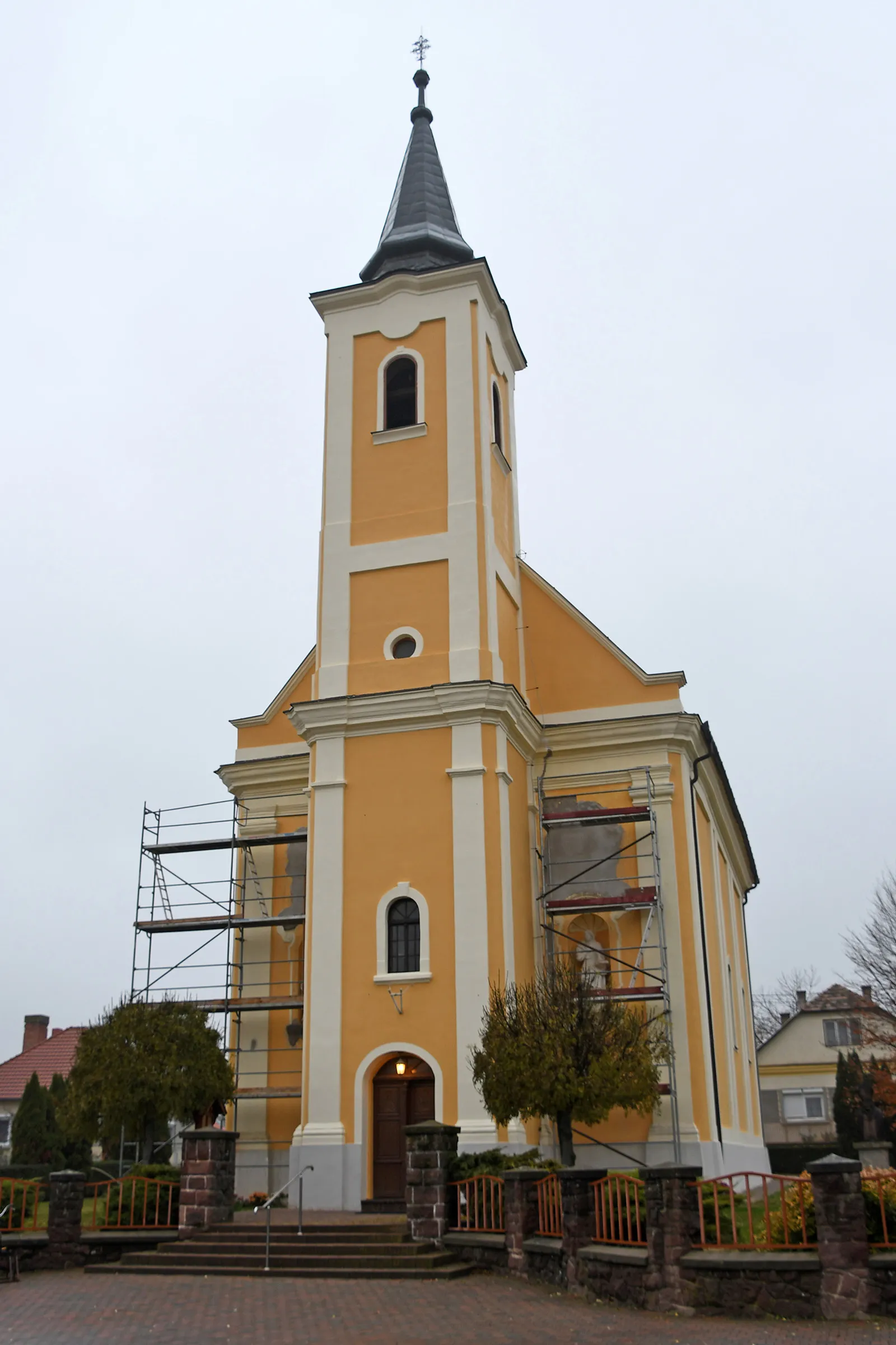
Murakeresztúr is a locality in Nyugat-Dunántúl, Hungary. Cyclists will find a mix of terrain, with flat stretches and gentle hills, providing a versatile cycling experience. The roads are generally in good condition, allowing for smooth riding. While Murakeresztúr may not have any famous cycling-related spots or well-known climbs, the surrounding countryside offers stunning views and a peaceful atmosphere. Overall, Murakeresztúr is a great choice for cyclists looking for a scenic and varied cycling route.

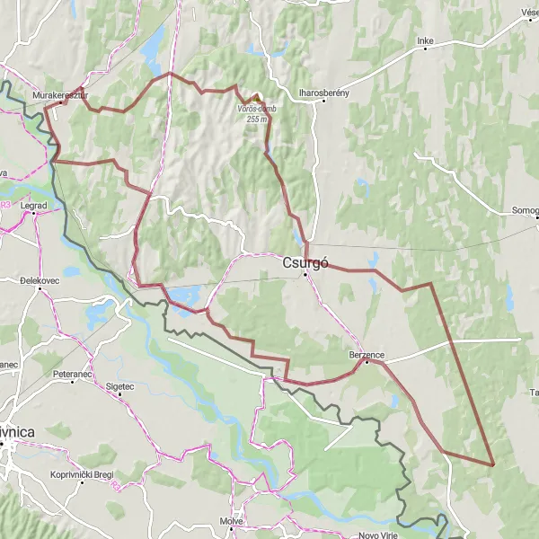
Exploring the stunning landscapes around Nagykanizsa
Embark on a cycling adventure through the natural wonders near Nagykanizsa. With a gravel route spanning 74 kilometers and an elevation gain of 540 meters, this route offers a challenging yet rewarding experience for well-trained amateur cyclists. Along the way, you'll encounter various highlights, including the scenic Nagykanizsa lookout, the charming village of Miháld, and the picturesque landscapes of Inke. The route also takes you through the stunning Vörös-domb, offering breathtaking views of the surrounding countryside. Overall, this route provides a unique opportunity to discover the natural beauty and hidden gems of Nagykanizsa.
Scenic Rolling Hills Loop

Explore the picturesque countryside around Murakeresztúr on this road cycling loop
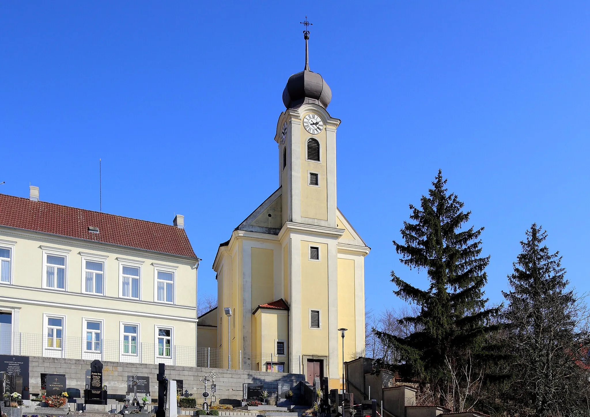
This scenic route takes you through the rolling hills near Murakeresztúr, offering breathtaking views of the countryside. The route is a mix of challenging climbs and exhilarating descents, making it suitable for experienced cyclists. Along the way, you'll pass through charming villages and explore hidden gems, making for a memorable cycling experience. Don't miss the opportunity to stop at Molnári, a quaint village known for its historic buildings and local cuisine. The Lendava/Lendva highlight offers a unique cultural experience, with its diverse mix of Hungarian and Slovenian heritage. Another highlight along the route is Páka, a picturesque village surrounded by vineyards. Overall, this route promises a scenic and enjoyable cycling adventure.

Experience the captivating beauty of the Nyugat-Dunántúl region as you cycle through Nagykanizsa, Miháld, Böhönye, Kutas, Ötvöskónyi, Kaszó, and return to Murakeresztúr.
Immerse yourself in the natural wonders of the Nyugat-Dunántúl region on this road cycling route. Starting from Murakeresztúr, embark on a challenging adventure with an ascent of 743 meters over a distance of 152 kilometers. Marvel at the diverse landscapes, explore charming villages, and witness the rich cultural heritage of the area.
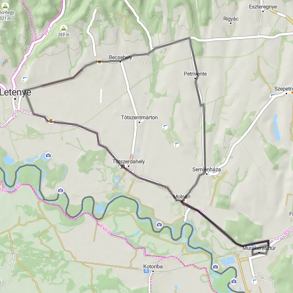
Exploring the scenic roads to Petrivente and beyond
Embark on a road cycling adventure to Petrivente and beyond. With a distance of 41 kilometers and an ascent of 123 meters, this route is suitable for well-trained amateur cyclists looking for a shorter but rewarding ride. Along the way, you'll pass through the picturesque village of Murakeresztúr, offering a glimpse into its local culture and history. The route also takes you to the charming town of Becsehely, known for its historic architecture and cultural heritage. As you cycle through the scenic countryside, you'll be able to admire the unique architecture of the local houses and experience the tranquility of the surrounding nature. Overall, this route provides a pleasant cycling experience through the scenic roads of Nyugat-Dunántúl.
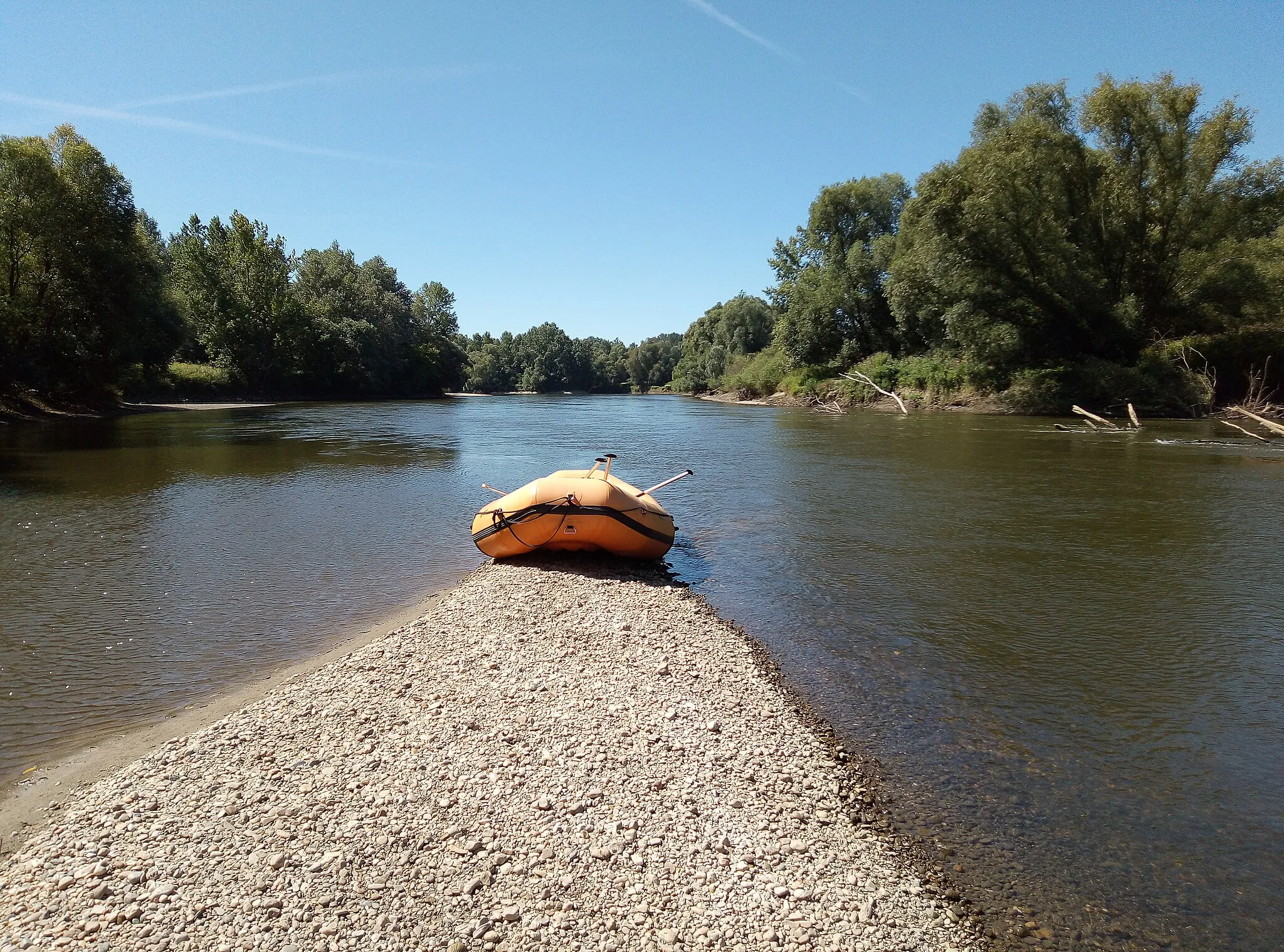
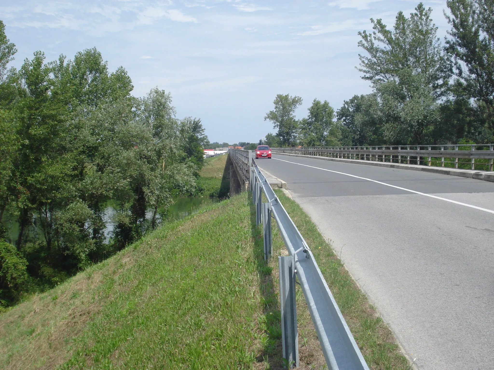
Mura River and its surroundings

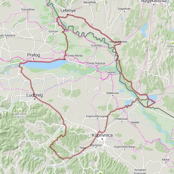
Exploring the stunning landscape along the Mura River
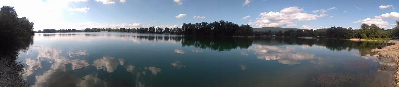
This route takes you through the scenic landscapes near Murakeresztúr, where you can experience the beauty of the Mura River and its surroundings. The route offers a mixture of gravel and road sections, making it suitable for both gravel and road bikes. With a total distance of 98 kilometers and 190 meters of ascent, this route is suitable for well-trained amateur cyclists. As you ride along, you'll encounter various highlights, including the picturesque village of Őrtilos, the charming town of Donja Dubrava, and the stunning views along the Mura River. Overall, this route offers a memorable cycling experience in the heart of Nyugat-Dunántúl.
Embark on a leisurely road cycling journey from Murakeresztúr to Becsehely, Korpavár, and back. Experience the charm of the Hungarian countryside and visit historical landmarks along the way.
Cycle through picturesque landscapes as you make your way from Murakeresztúr to Becsehely and Korpavár. This road cycling route offers a moderate level of difficulty with an ascent of 439 meters over a distance of 81 kilometers. Enjoy a relaxing ride immersed in the natural beauty of the surroundings, punctuated by fascinating historical highlights.

Embark on a road cycling adventure from Murakeresztúr to Zákány, Drnje, Draškovec, Utcakép, and Molnári and experience the stunning landscapes and charming villages of Hungary and Croatia.
Cycle through enchanting landscapes and immerse yourself in the rich cultural heritage of the Hungarian and Croatian countryside. Starting from Murakeresztúr, this road cycling route offers a moderate level of difficulty with an ascent of 241 meters over a distance of 120 kilometers. Be prepared to be captivated by the natural beauty and historical highlights along the way.
Explore the beautiful landscapes around Murakeresztúr on this adventurous gravel route.
This 104-kilometer gravel route near Murakeresztúr offers a challenging and scenic adventure. Starting from Murakeresztúr, you will cycle through picturesque villages and stunning countryside. Along the way, you will encounter rolling hills, gravel paths, and beautiful natural surroundings. The route includes a total ascent of 463 meters, providing a good workout for well-trained amateurs. You will pass through highlights such as Zápolca, Szenta, Somogyudvarhely, Gyékényes, and finally return to Murakeresztúr. Overall, this route is a great way to immerse in the tranquility of the Hungarian countryside and enjoy a thrilling off-road cycling experience.
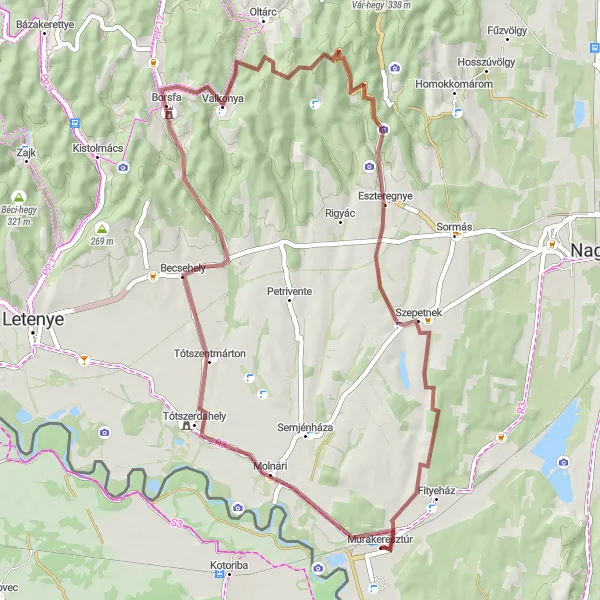
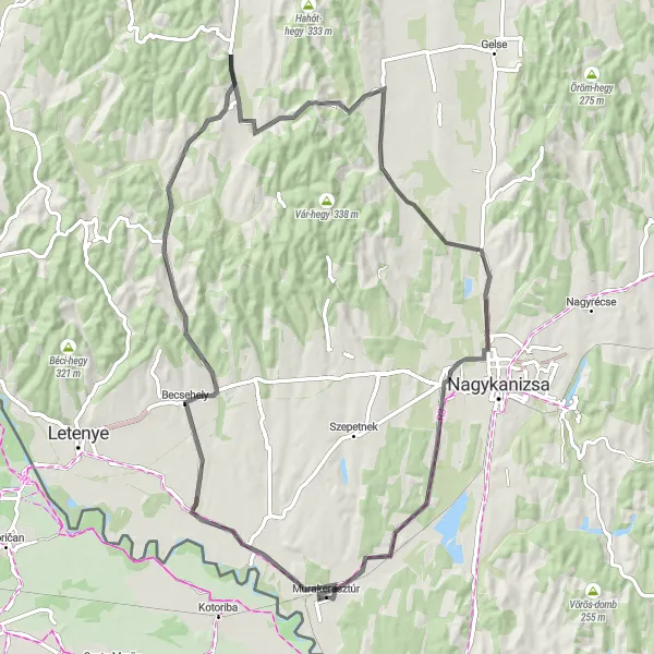
Embark on a thrilling gravel cycling adventure through picturesque landscapes near Murakeresztúr
This gravel route takes you on an off the beaten path adventure through the stunning landscapes near Murakeresztúr. The diverse terrain offers a mix of challenging climbs and thrilling descents, making it a great choice for gravel enthusiasts. Along the way, you'll discover hidden gems such as Molnári, a charming village with historic buildings and a peaceful atmosphere. Another highlight is Becsehely, a quaint village known for its tranquil surroundings and friendly locals. Valkonya offers breathtaking views and is the perfect spot to take a break and enjoy the natural beauty. Don't miss Gurgó-hegy, a scenic hill with panoramic vistas of the surrounding countryside. Szepetnek, the final highlight of the route, is a picturesque town nestled in the hills. Overall, this gravel adventure promises an exciting and immersive experience in the heart of nature.
Murakeresztúr - Zákány - Vidikovac svetog Vinka - Sveti Đurđ - Lake Dubrava - Utcakép - Molnári
Discover the off-road wonders and natural beauty of the region as you cycle from Murakeresztúr to Zákány, Vidikovac svetog Vinka, Sveti Đurđ, Lake Dubrava, Utcakép, and Molnári.
Venture off the beaten path and explore the gravel roads and scenic landscapes of the region. This gravel cycling route offers a moderate level of difficulty with an ascent of 483 meters over a distance of 134 kilometers. Experience the rugged beauty of the countryside and visit some unique places along the way.
Cycling routes nearby:

Nearby regions: