Cycling and Culture in Nagykanizsa
Cycling routes from Nagykanizsa
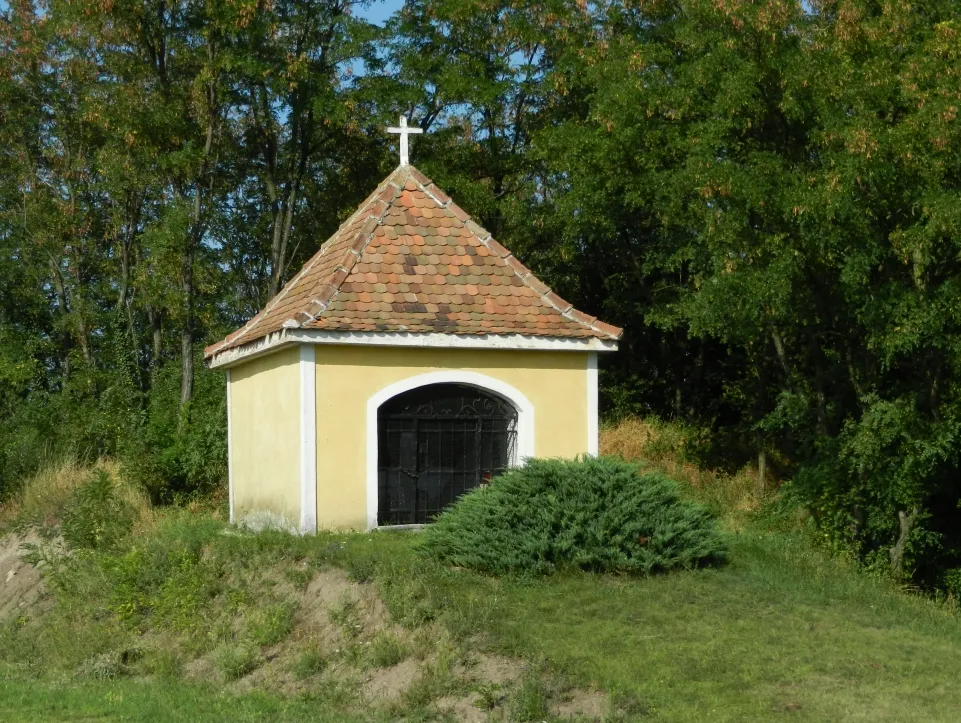
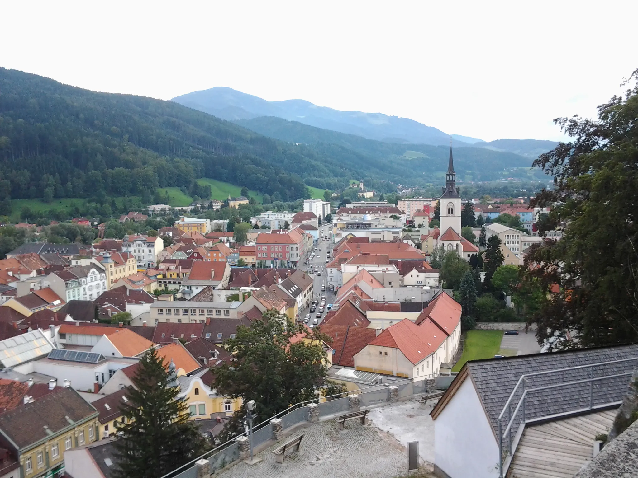
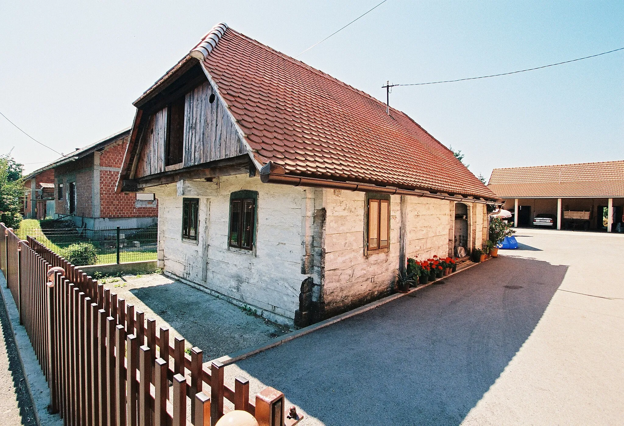
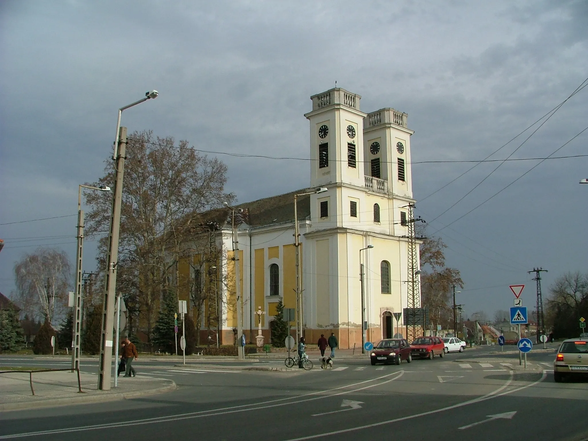
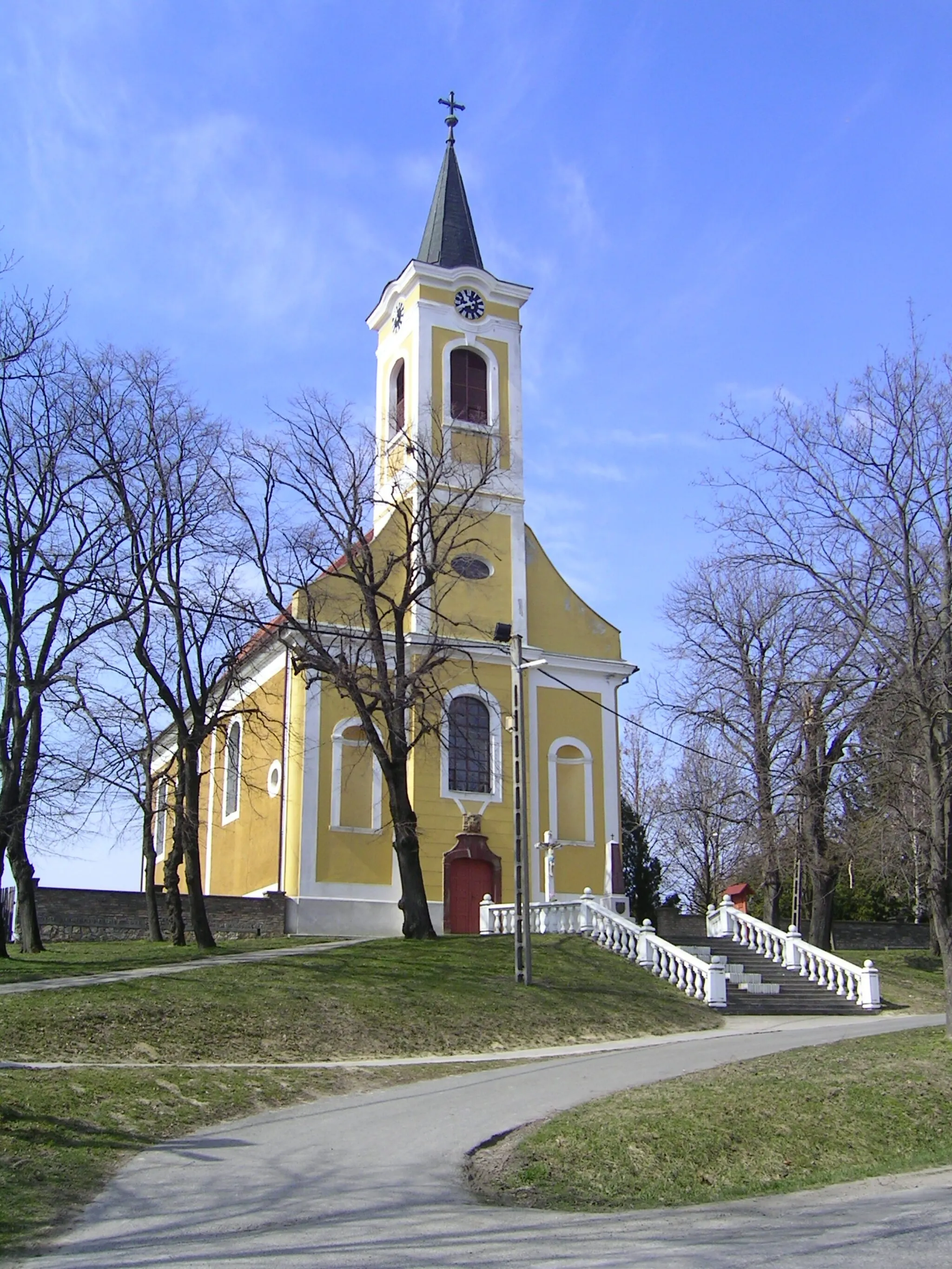
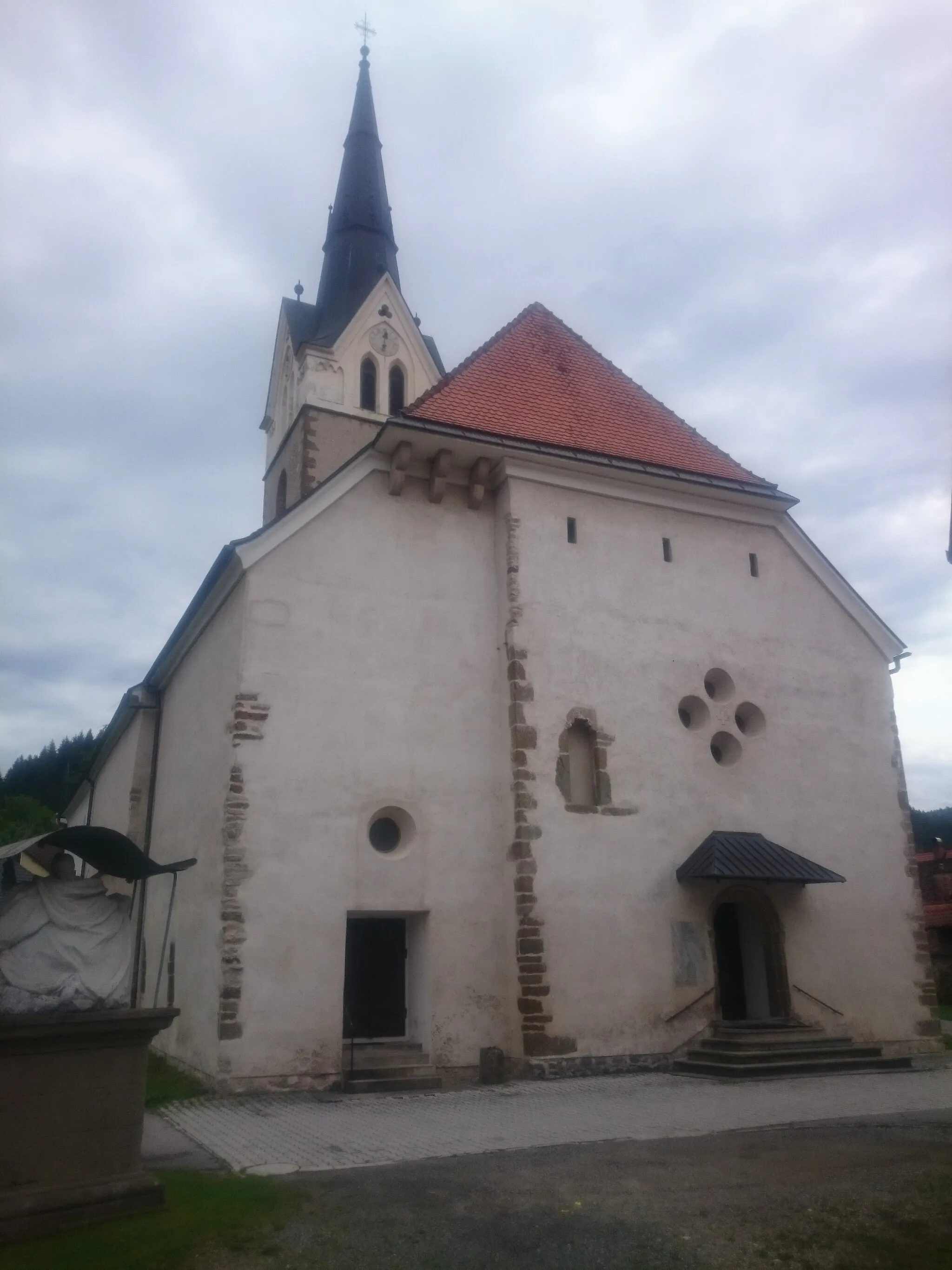
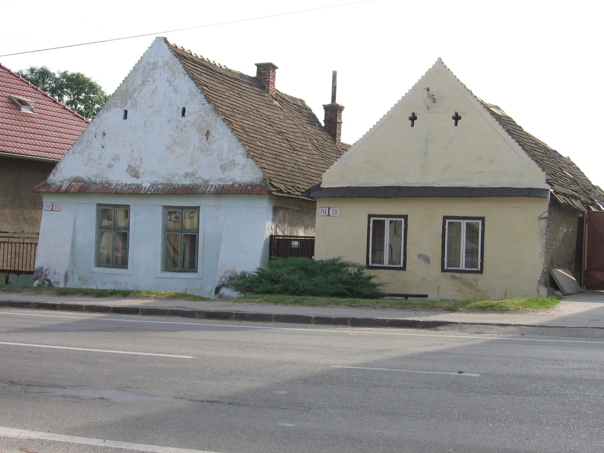
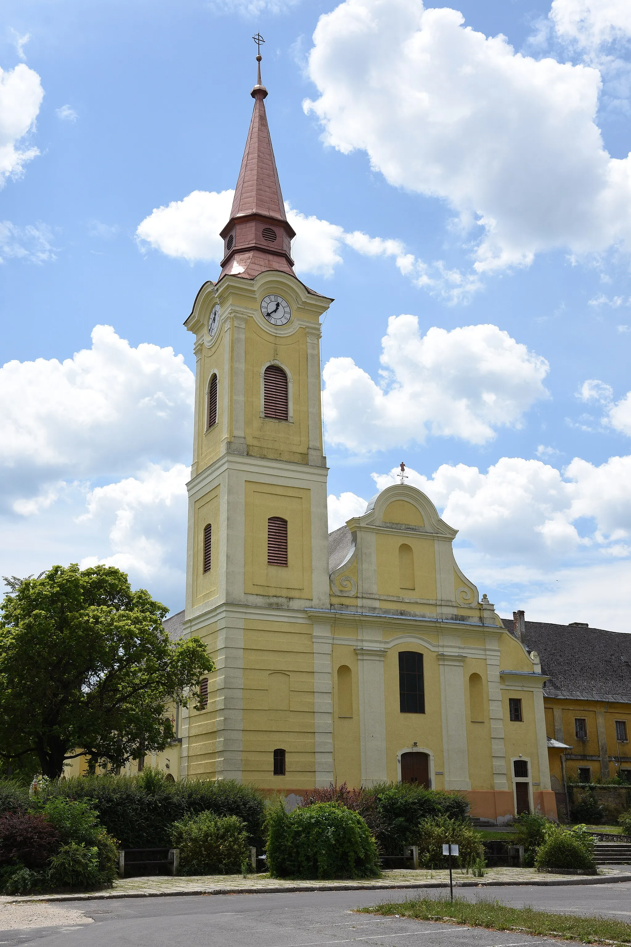
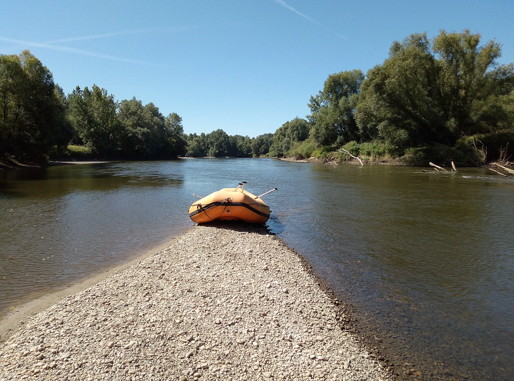
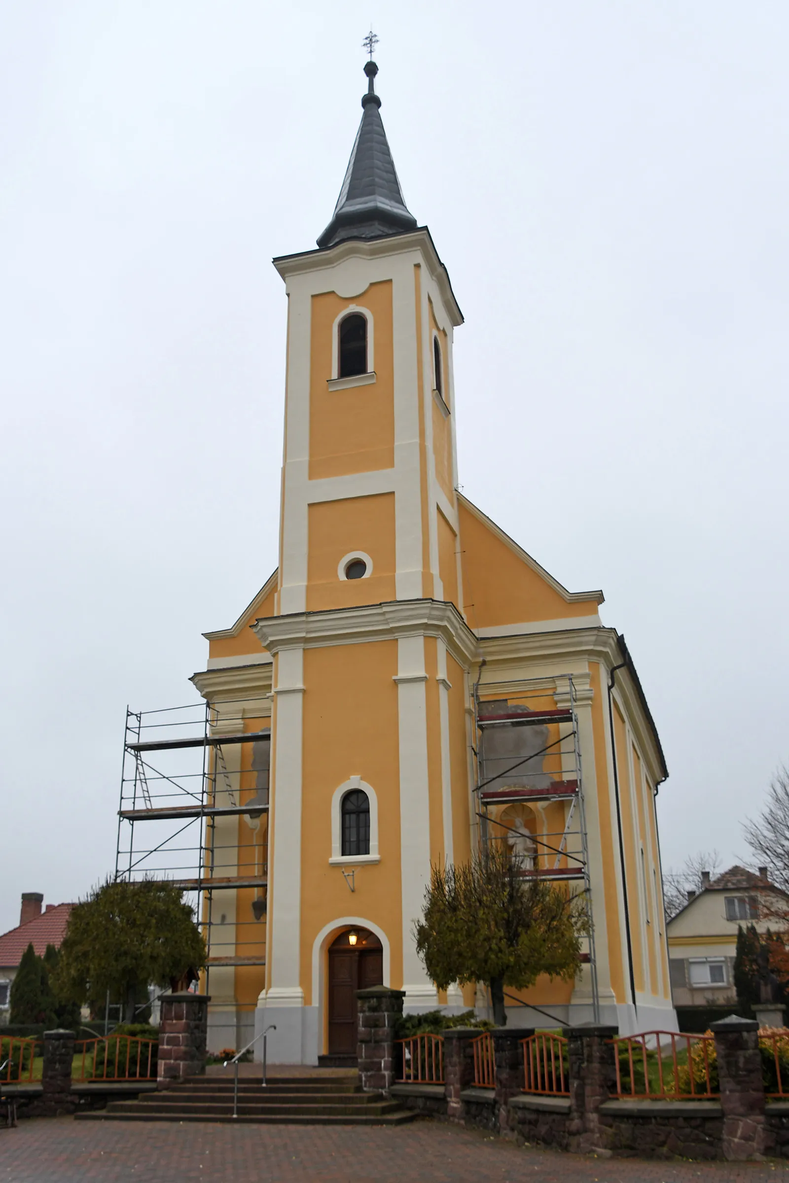
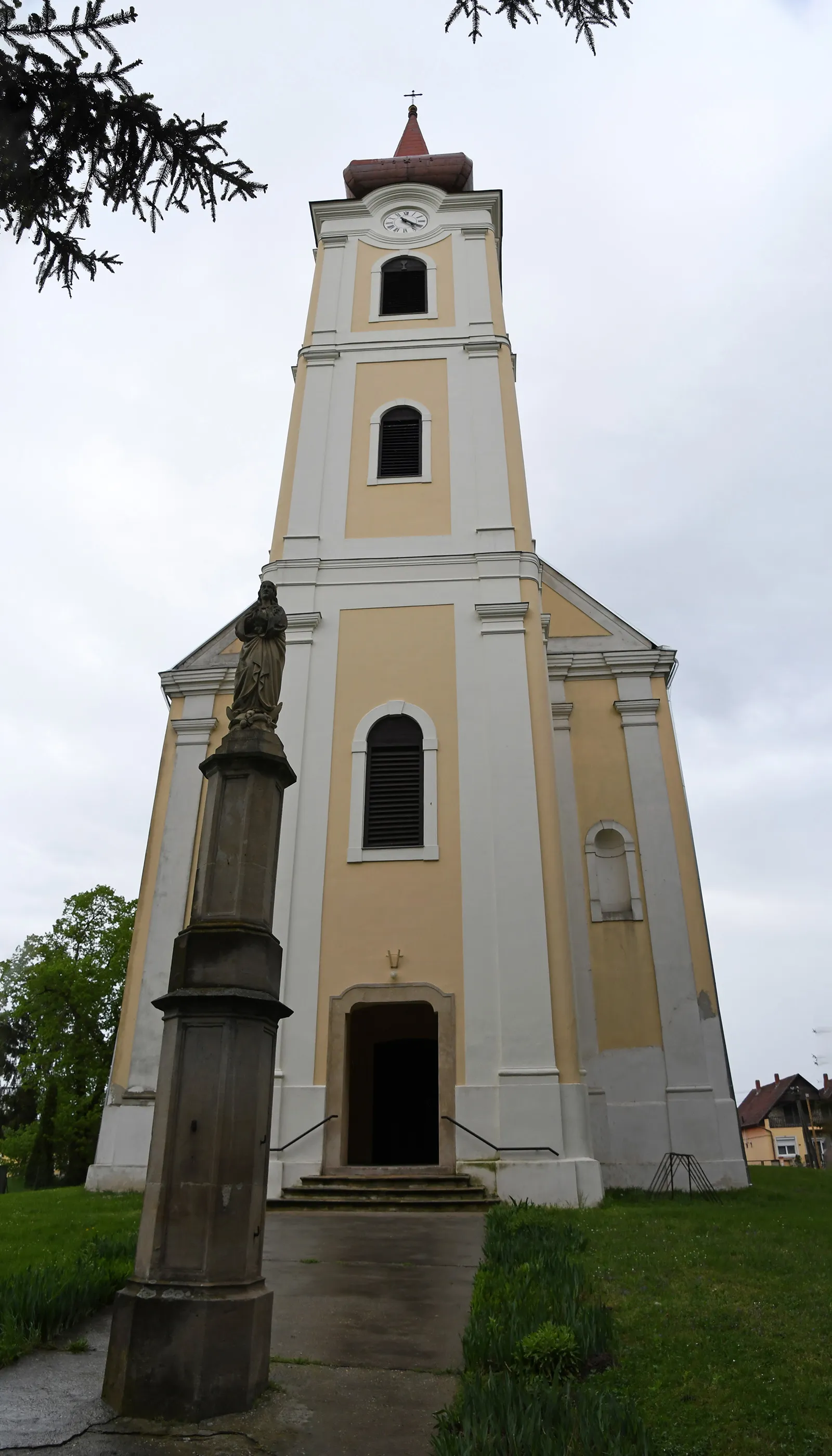
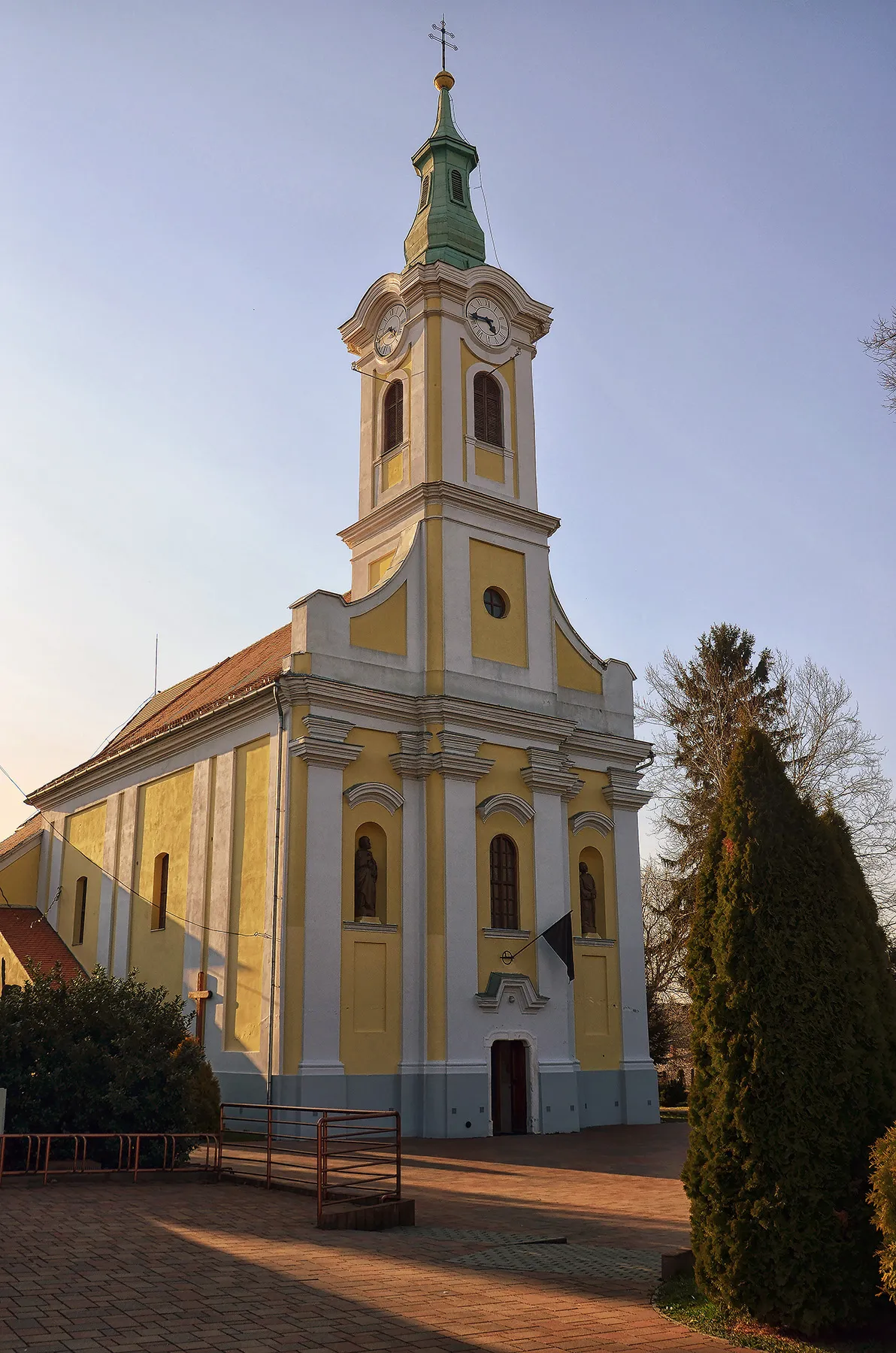
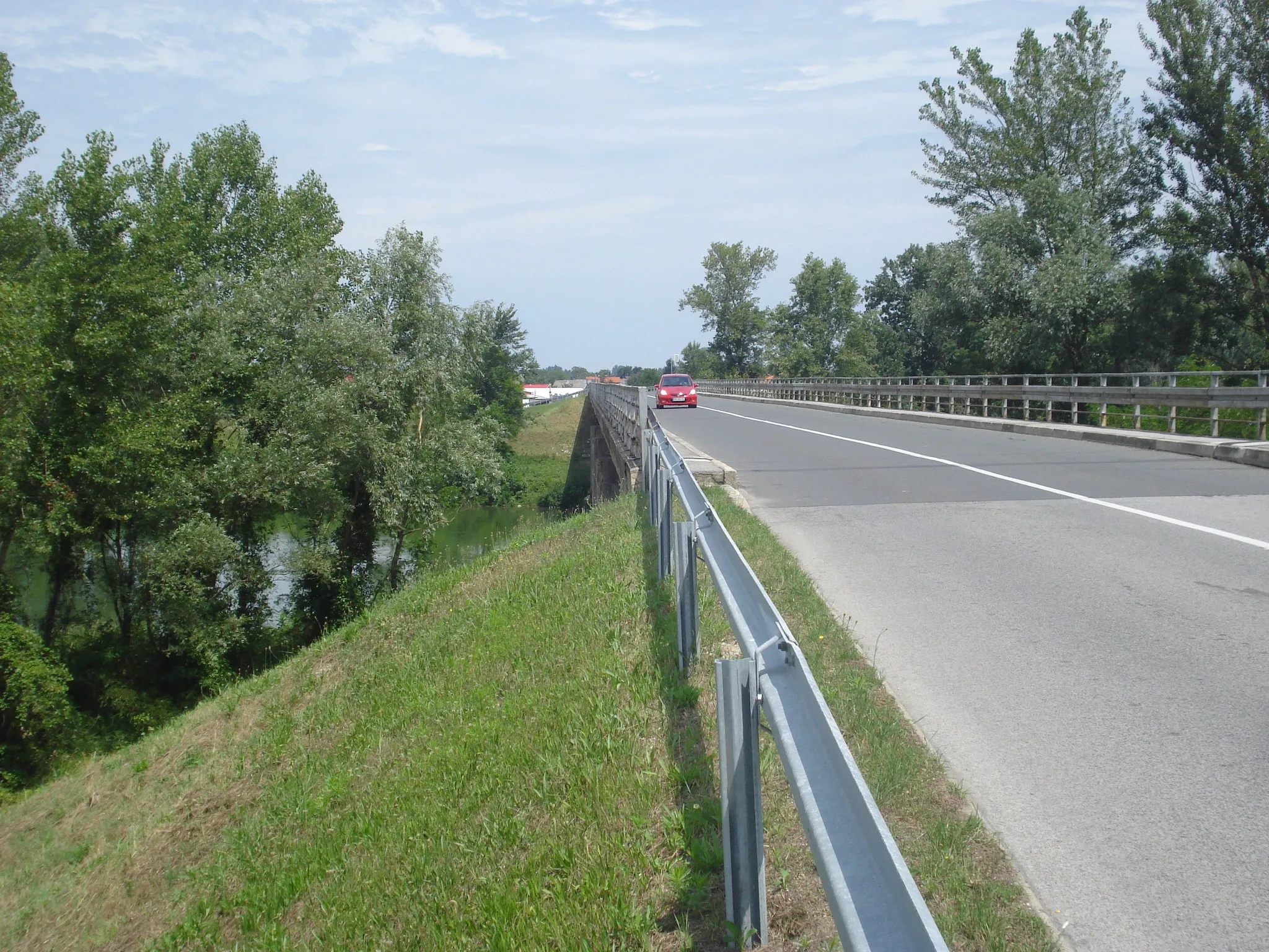
Nagykanizsa is a locality situated in the Nyugat-Dunántúl region of Hungary. From a cyclist's perspective, Nagykanizsa offers diverse cycling routes suitable for both road and gravel cyclists. The region is characterized by scenic landscapes, including vineyards and rolling hills, making it a visually appealing destination for cyclists. Notable cycling spots near Nagykanizsa include the Zselicség Nature Reserve, which offers various off-road trails for those who enjoy gravel cycling. Additionally, the town is known for its cultural attractions, such as the Károlyi Castle and the downtown area with its historic buildings.
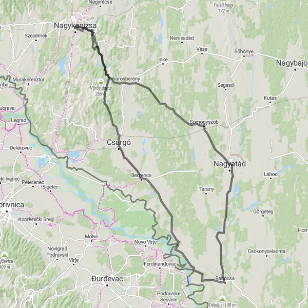
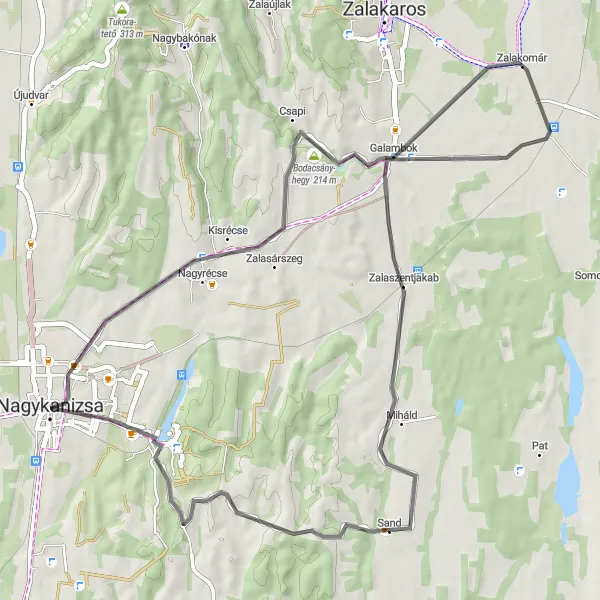
An exciting road discovery route passing through Zalaszentjakab and Berzence.
Discover the hidden gems of the Nagykanizsa region with this exciting road discovery route. Covering a distance of 113 km and an ascent of 671 meters, the route offers a moderate level of difficulty. Explore charming villages, historical sites, and picturesque landscapes as you pedal through the stunning Hungarian countryside.
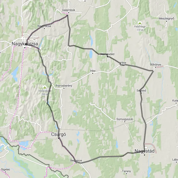
Discover the hidden gems of Somogy County on this road cycling route.
This road cycling route takes you on a 132 kilometer journey through Somogy County, an area known for its beautiful landscapes and rich history. Starting from Nagykanizsa, you will pass through charming villages and ride along scenic countryside roads. The highlights of this route include the village of Iharosberény with its traditional architecture, the peaceful town of Somogyszob, and the stunning views from Háromfa. With a total ascent of 641 meters, this route is suitable for experienced cyclists looking for a challenge.
An adventurous road route featuring Korpavár and Felsőrajk
Embark on an adventurous road route starting from Nagykanizsa and discover the hidden gems of the region. This challenging 127 km route includes an ascent of 677 meters. Experience the beauty of the Hungarian countryside as you pass through villages, hills, and stunning landscapes.
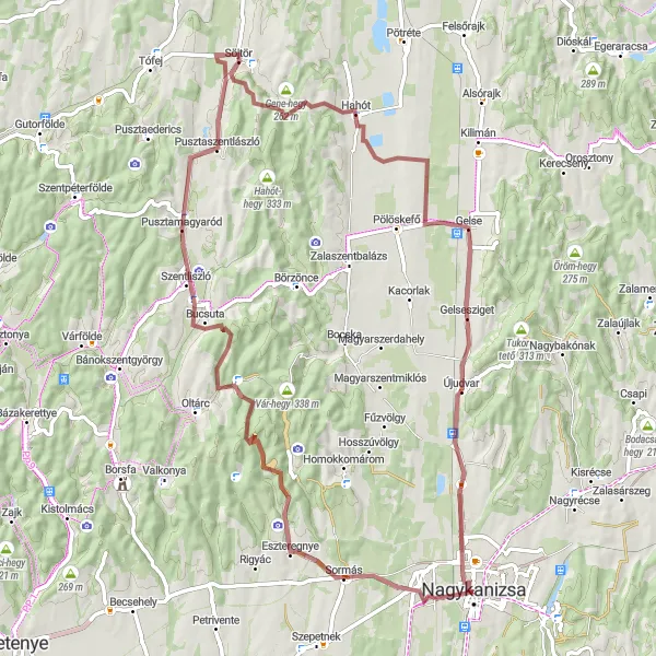
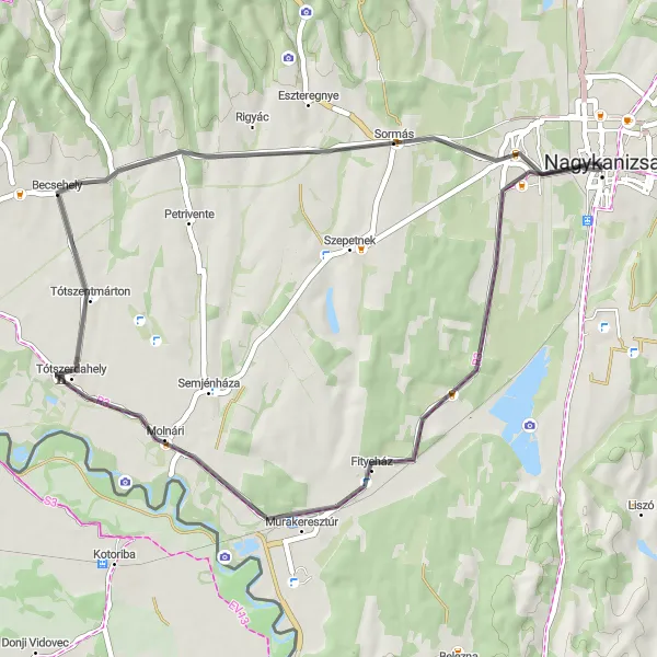
A scenic gravel route featuring the village of Sormás and the Gene-hegy hill
This gravel route near Nagykanizsa takes you through picturesque landscapes, with the highlights being the charming village of Sormás and the scenic Gene-hegy hill. The route covers a distance of 76 km and includes an ascent of 628 meters. It is suitable for gravel bikes and offers a moderately challenging ride.
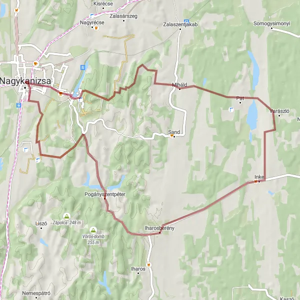
A gravel route featuring Miháld and Bagola
Get off the beaten path and explore the beauty of the Nagykanizsa region with this gravel route. Covering a distance of 55 km and an ascent of 538 meters, this route offers a moderate level of difficulty. Immerse yourself in the tranquility of nature as you ride through charming villages and enjoy scenic views along the way.
A scenic road tour highlighting the beauty of the Nagykanizsa region
Embark on a scenic road tour around Nagykanizsa, Hungary, and discover the beauty of the region. This 46 km route offers breathtaking views and covers a total ascent of 199 meters. Enjoy a moderate level of difficulty as you explore the diverse landscape and charming towns along the way.

Challenging climbs and breathtaking views await on this road cycling route.
This road cycling route takes you through the hilly countryside near Sormás, offering both challenging climbs and stunning views. Starting from Nagykanizsa, you will pass through small villages and ride along winding roads. The highlights of this route include the ascent to Szentpéterfölde, which offers panoramic views of the surrounding hills, and a stop in Kányavár, a historical village with charming houses and a peaceful atmosphere. With a total distance of 93 kilometers and an ascent of 931 meters, this route is recommended for experienced cyclists looking for a challenging ride.
Scenic Ride to Böhönye
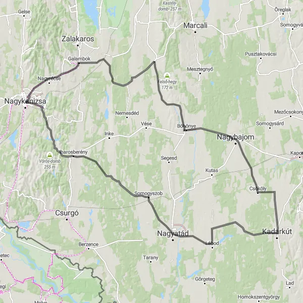
Enjoy the picturesque landscapes and charming villages on this road cycling route.
This road cycling route takes you on a 150 kilometer journey through picturesque landscapes and charming villages. Starting from Nagykanizsa, you will ride through small rural communities, passing by traditional Hungarian houses and serene countryside views. The highlights of this route include the village of Nagyszakácsi with its centuries-old architecture, the scenic town of Böhönye, and the panoramic views from Kadarkút. With a total ascent of 604 meters, this route is suitable for intermediate cyclists who enjoy longer rides.
Gravel Ride to Belezna

Embark on a gravel adventure through picturesque landscapes and remote areas.
This gravel cycling route takes you on a 104 kilometer adventure through remote areas and picturesque landscapes. Starting from Nagykanizsa, you will ride on gravel roads, passing through small villages and scenic countryside views. The highlights of this route include the remote village of Belezna with its idyllic setting, the charming village of Zákány, and the peaceful town of Sveta Marija on the border with Slovenia. With a total ascent of 353 meters, this route is suitable for gravel enthusiasts looking for a unique and challenging ride.
The Hills of Nyugat-Dunántúl
Climb up to the Kisrécse Hill and enjoy the panoramic view of Nagykanizsa.
This road cycling route takes you through the beautiful countryside of Nyugat-Dunántúl, with several challenging climbs and picturesque views. Starting from Nagykanizsa, you will ride through small villages and peaceful, rolling hills. The highlight of this route is the ascent to Kisrécse Hill, where you can take a break and admire the stunning panoramic view of Nagykanizsa and its surroundings. The total distance of this route is 55 kilometers, with a total ascent of 411 meters.
Cycling routes nearby:
Nearby regions: