Pacsa to Dióskál Round-trip
A road cycling route starting from Pacsa
Embark on an epic road cycling adventure from Pacsa to Dióskál.
Map
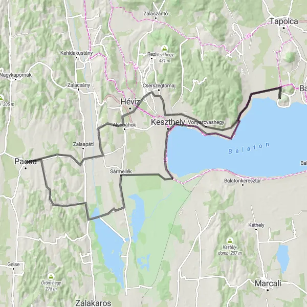
This road cycling route from Pacsa to Dióskál is sure to test even the most experienced cyclists. With a challenging ascent of 604 meters and a total distance of 107 km, it is suitable for well-trained amateurs looking for a thrilling challenge. Along the way, you'll pass through Szentgyörgyvár, Közép-hegy, Gyenesdiás, Vas-hegy, and Szigliget, each offering unique scenic views and cultural attractions. The highlight of the route is the Óvári kilátó, a lookout point with breathtaking vistas of the surrounding landscape. As you continue your journey, you'll also have the opportunity to visit Szent Mihály domb, Keszthely, Sármellék, and Dióskál, each contributing to the overall epicness of the ride.
road
107 km
604 m
Tough
Route profile
Highlights on the route
0 km
0 km
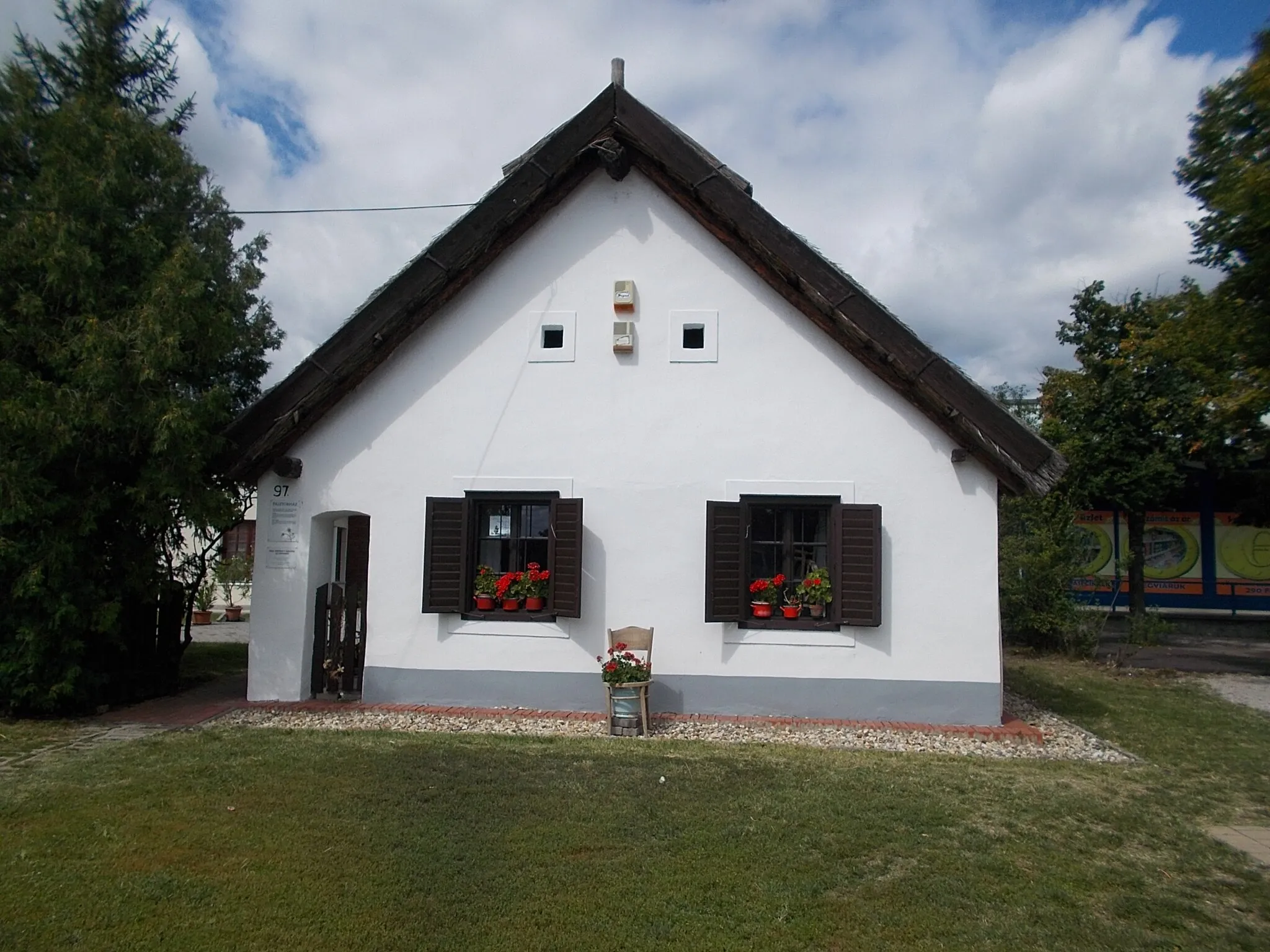
Start: Pacsa City centerPacsa: A tranquil locality with peaceful routes and beautiful landscapes in Nyugat-Dunántúl, Hungary.
Pacsa, located in Nyugat-Dunántúl, Hungary, offers an inviting cycling experience with its tranquil surroundings and picturesque landscapes. The area is characterized by its flat, peaceful roads, ideal for leisurely rides or long-distance cycling. With no major climbs nearby, Pacsa provides a quiet escape for cyclists looking to relax while exploring beautiful countryside. It is a great destination for beginners and those seeking a more laid-back cycling adventure.14 km
14 km
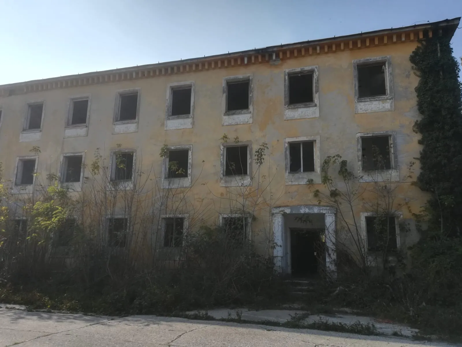
SzentgyörgyvárVillageSzentgyörgyvár is a historic castle ruin that offers a glimpse into Hungary's rich history.
17 km
17 km
Közép-hegy217 mPeakKözép-hegy is a challenging climb with rewarding views at the top.
32 km
32 km
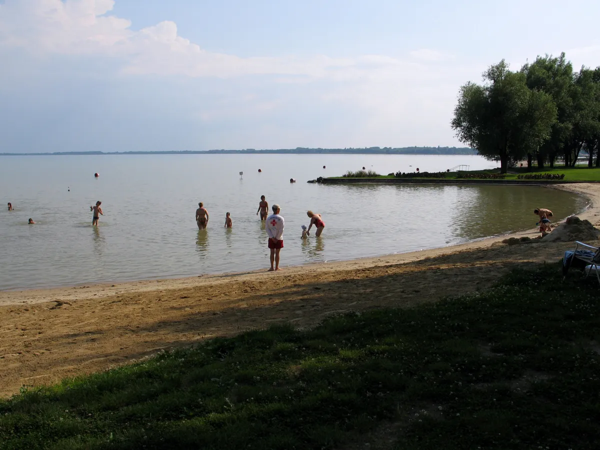
GyenesdiásVillageGyenesdiás is a picturesque village located by Lake Balaton, known for its stunning beaches and vibrant atmosphere.
35 km
35 km
Vas-hegy217 mPeakVas-hegy is a rocky hill with a network of hiking trails, offering panoramic views of the surrounding countryside.
47 km
47 km
Óvári kilátóViewpointÓvári kilátó is a must-visit lookout point with awe-inspiring views of Lake Balaton and its surroundings.
48 km
48 km
SzigligetVillageSzigliget is a charming lakeside village with a medieval castle and narrow streets.
61 km
61 km
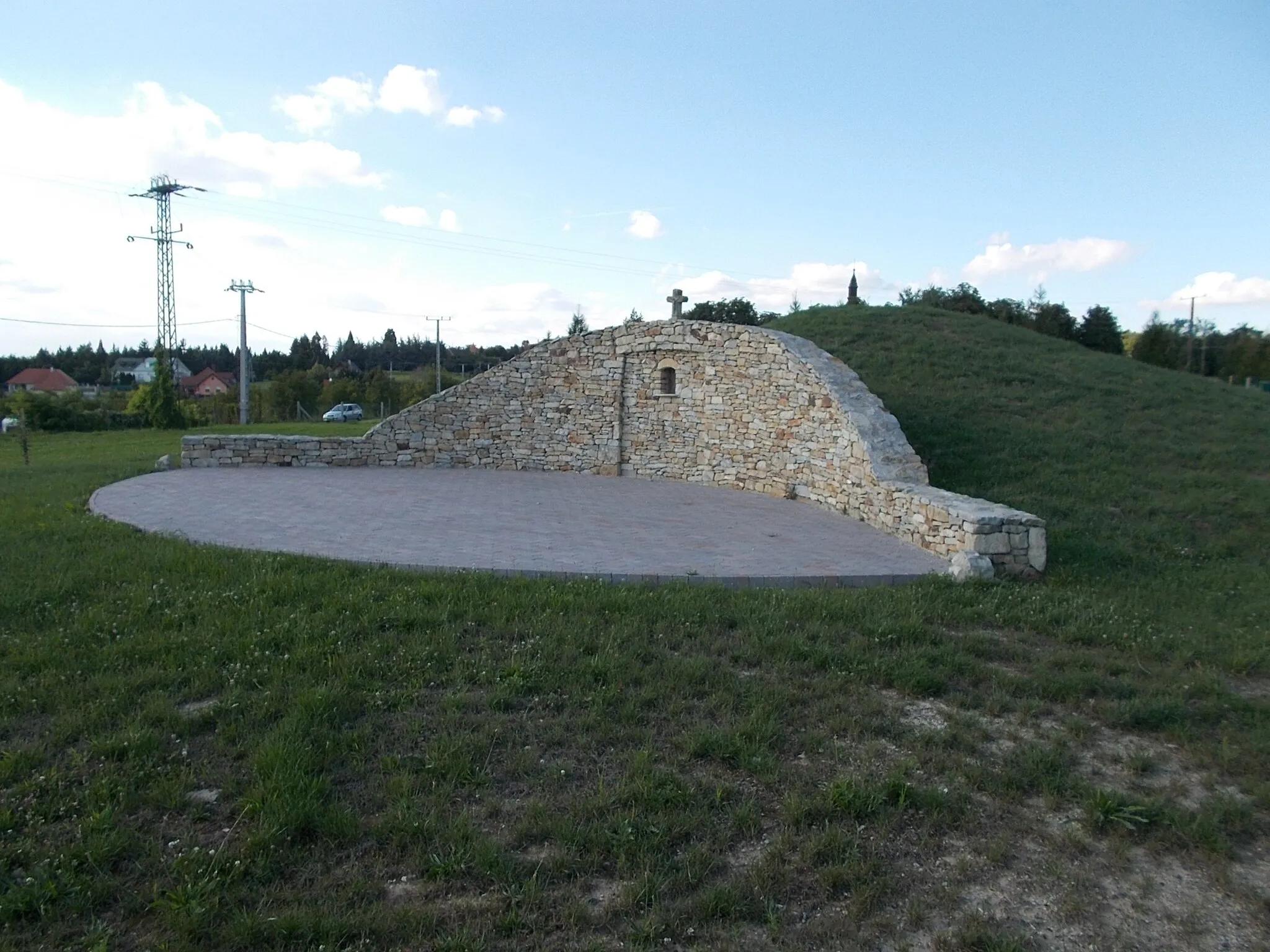
Szent Mihály domb136 mPeakSzent Mihály domb is a legendary climb known for its challenging gradient and breathtaking vistas at the top.
68 km
68 km
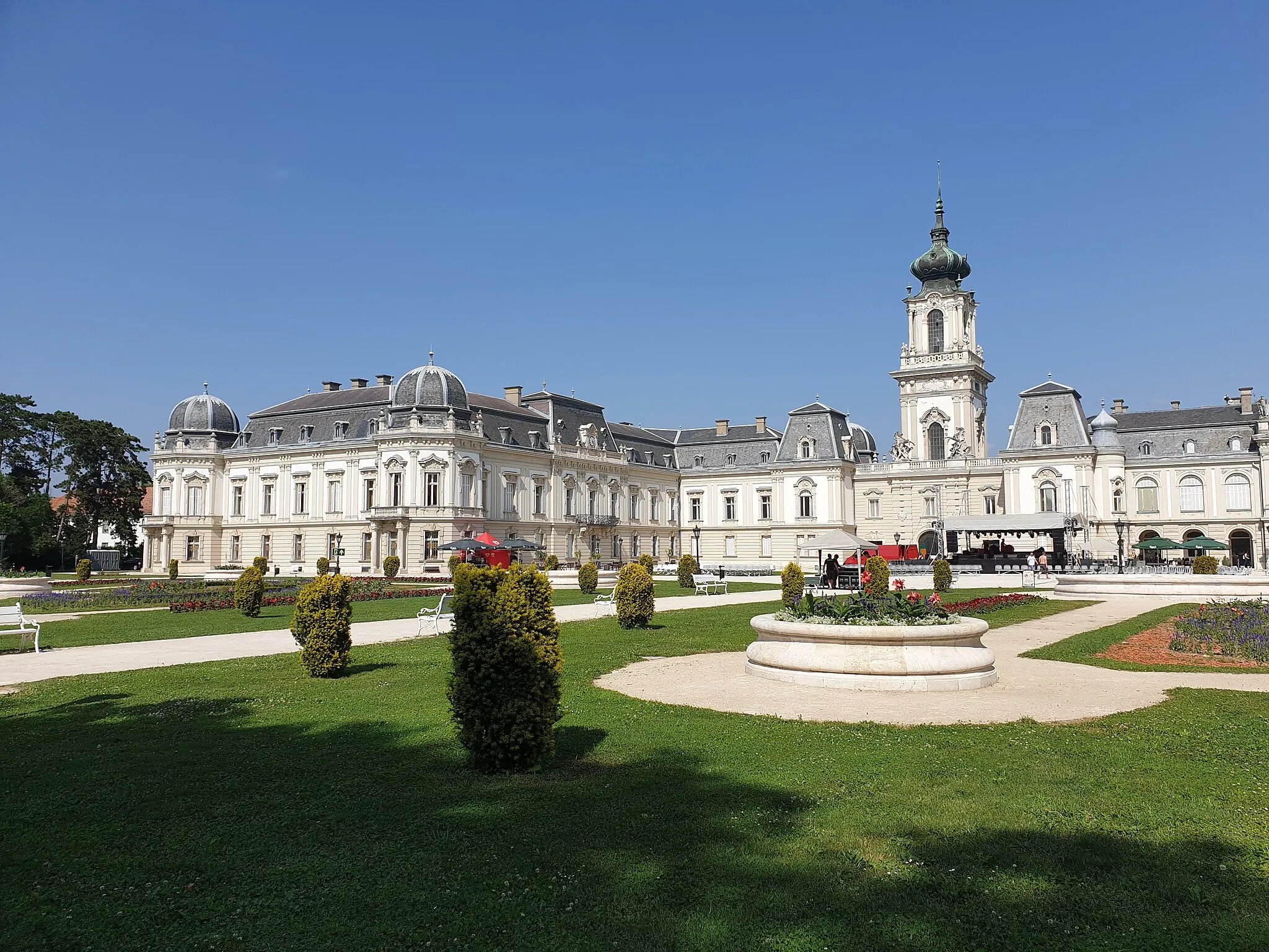
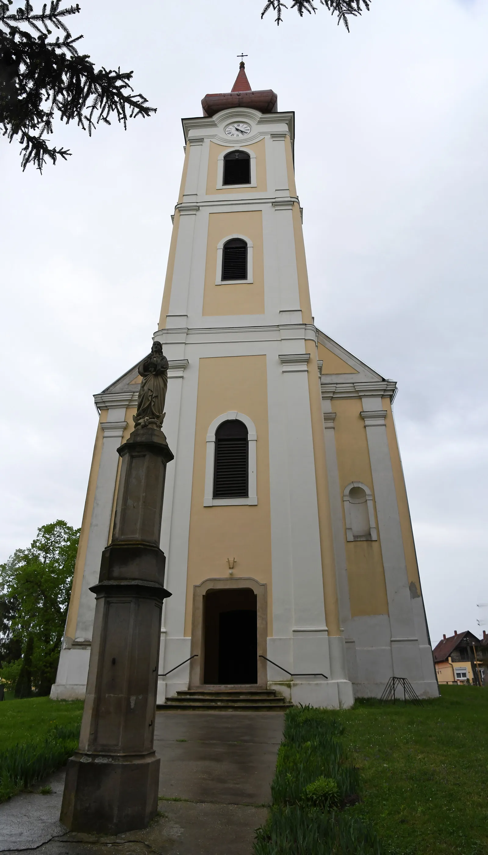
KeszthelyTownKeszthely is a historic town with an impressive palace and beautiful botanical gardens.
83 km
83 km
SármellékVillageSármellék is a small village known for its thermal baths and natural beauty.
99 km
99 km
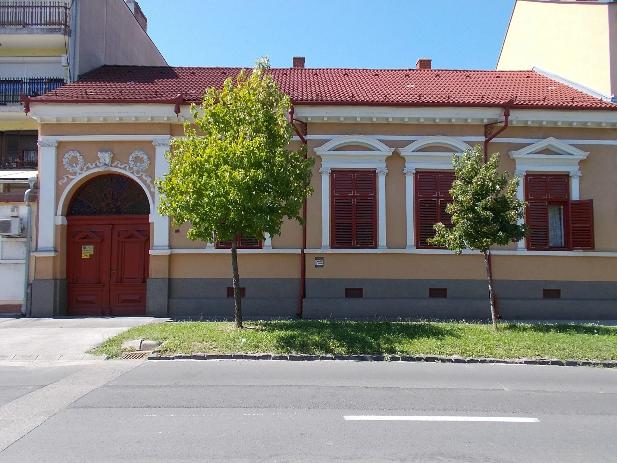
DióskálVillageDióskál is a picturesque village nestled among rolling hills, offering a peaceful and scenic end to the route.
107 km
107 km
Finish: Pacsa City centerPacsa: A tranquil locality with peaceful routes and beautiful landscapes in Nyugat-Dunántúl, Hungary.
Cycling routes from Pacsa:
Zalaszentmihály - Bak - Teskánd - Vaskó-hegy - Pacsa Cycling Route Pacsa to Újudvar Round-trip Pacsa to Dióskál Round-trip Sármellék Nature and Zalakomár Beauty Charming Villages and Rolling Hills Pacsa - Esztergályhorváti - Zalakomár - Kisrécse - Gelse - Felsőrajk - Pacsa Pacsa - Zalaszentmihály - Söjtör - Lenti - Kis-hegy - Sárhida - Pacsa Szentgyörgyvár - Közép-hegy - Balatonberény - Berényi-hegy - Balatonszentgyörgy - Sármellék - Dióskál Cycling Route Pacsa - Felsőrajk - Hahót - Szentliszló - Lenti - Csesztreg - Kis-hegy - Bak - Pacsa Hahót - Bánokszentgyörgy - Pusztamagyaród - Söjtör - Zalaszentmihály Cycling Route
Cycling routes nearby: