Cycling paradise with scenic landscapes and famous climbing opportunities.
Cycling routes from Repcelak
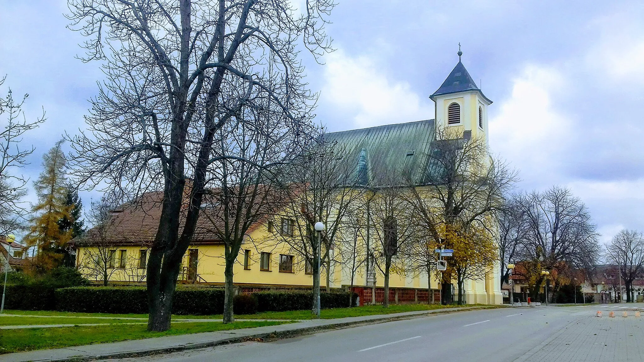
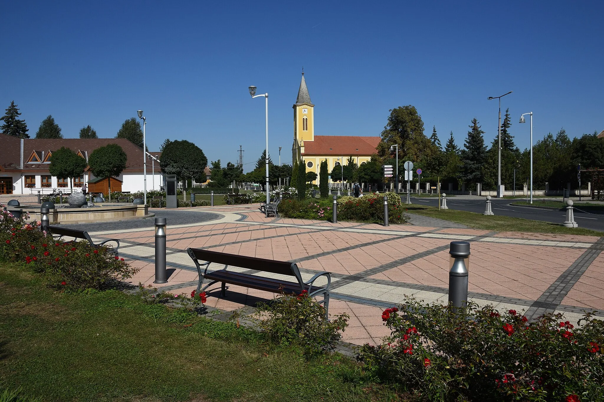
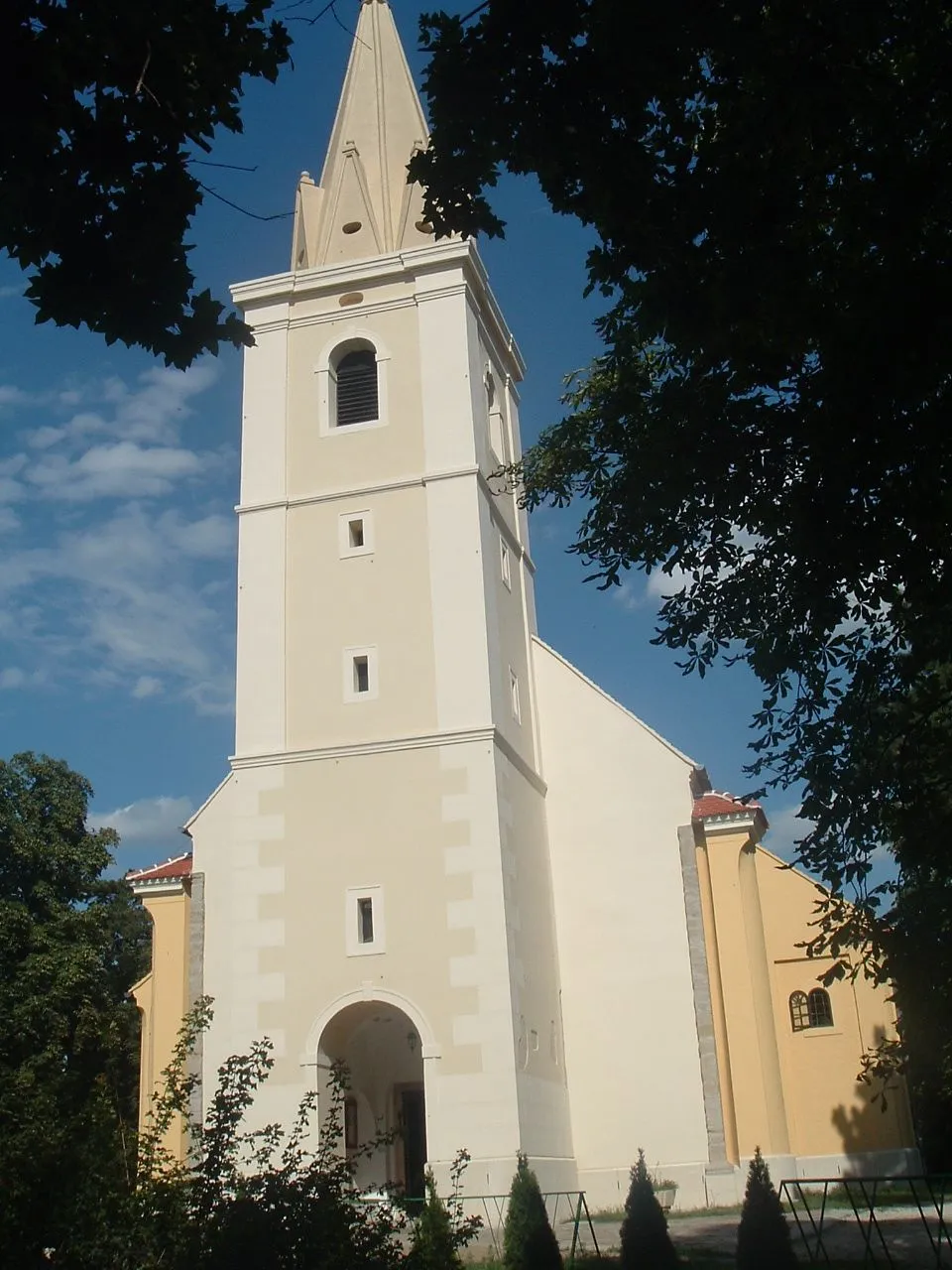
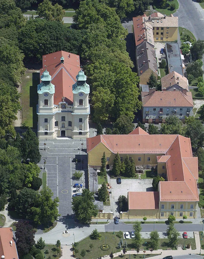
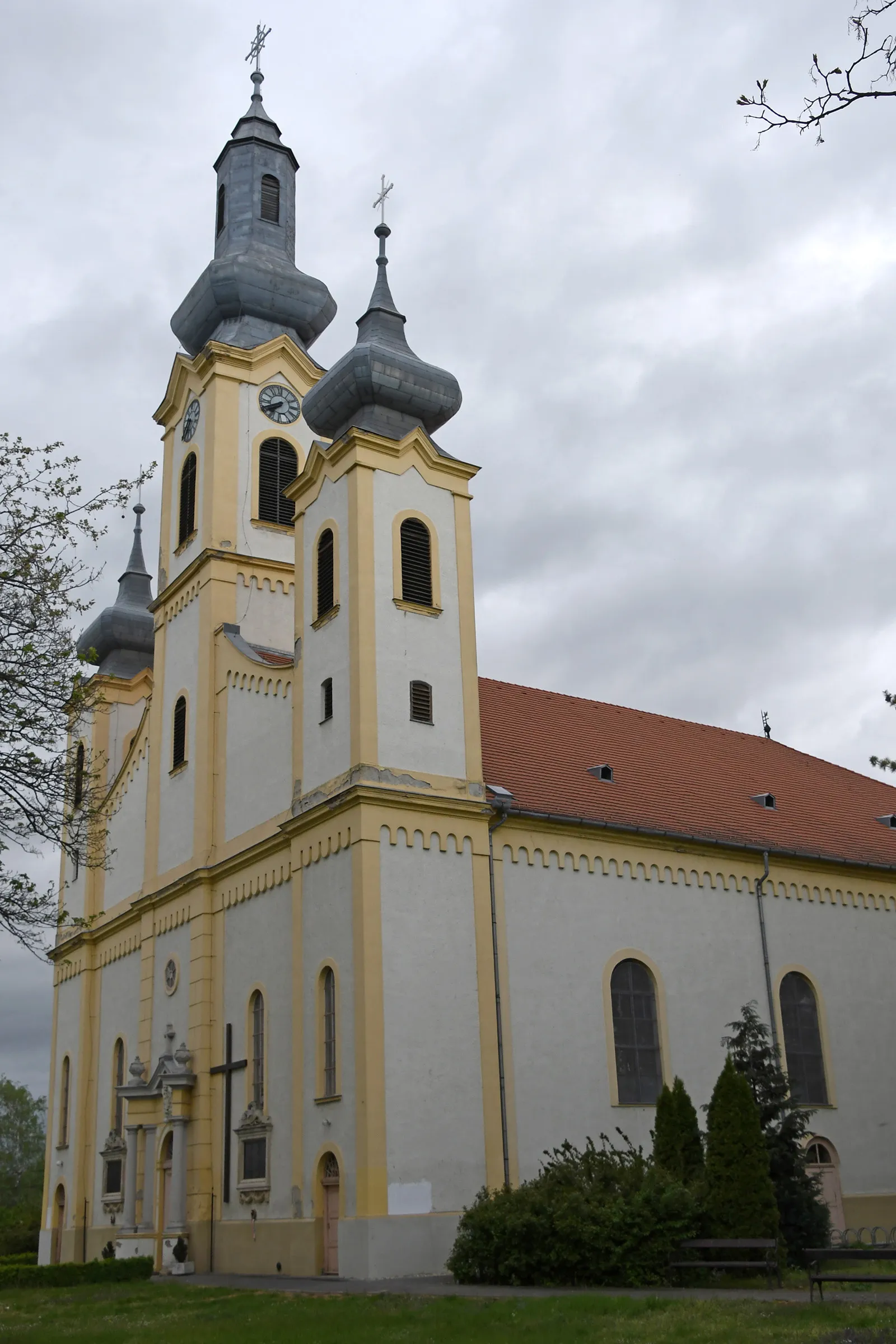
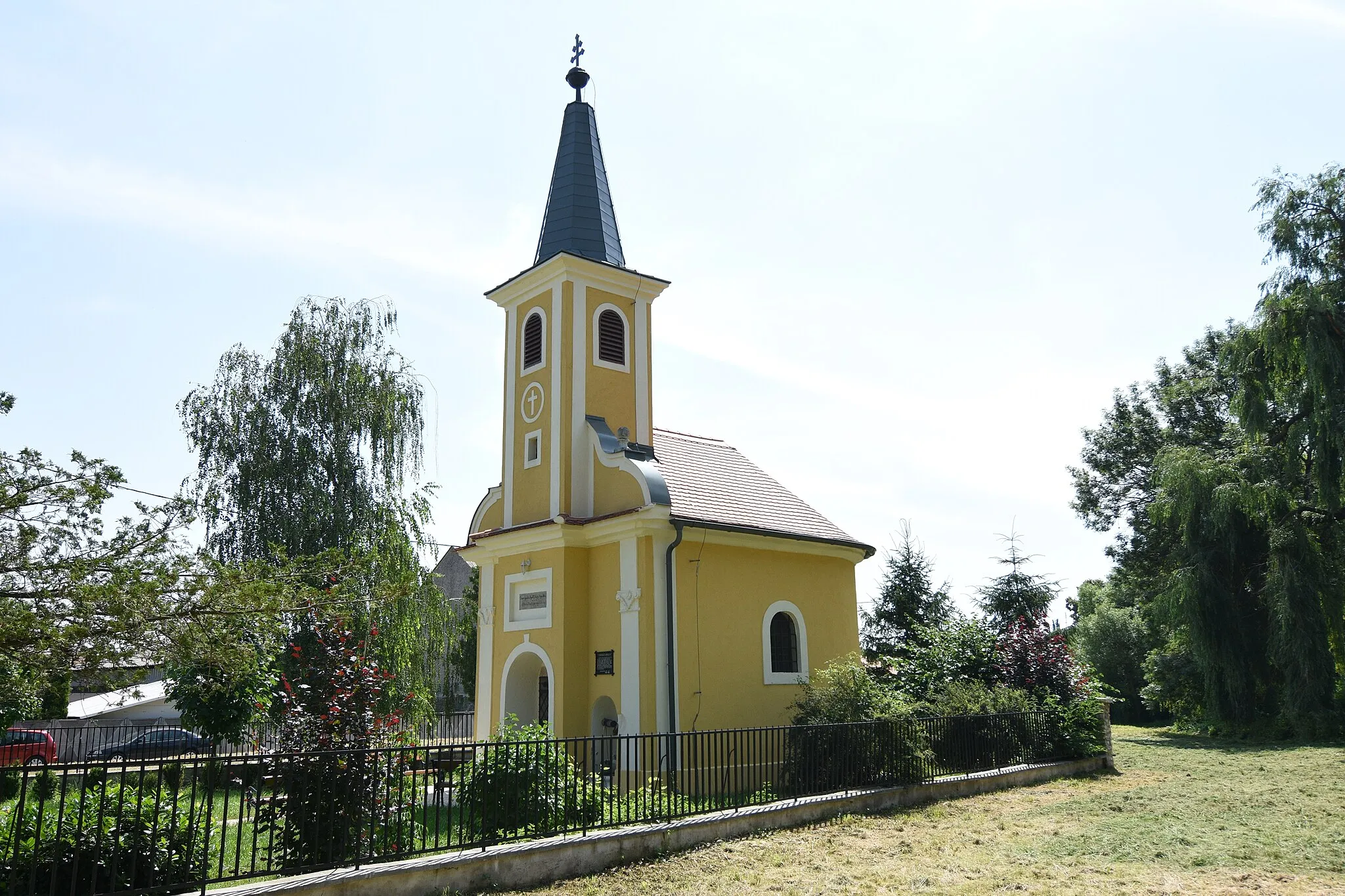
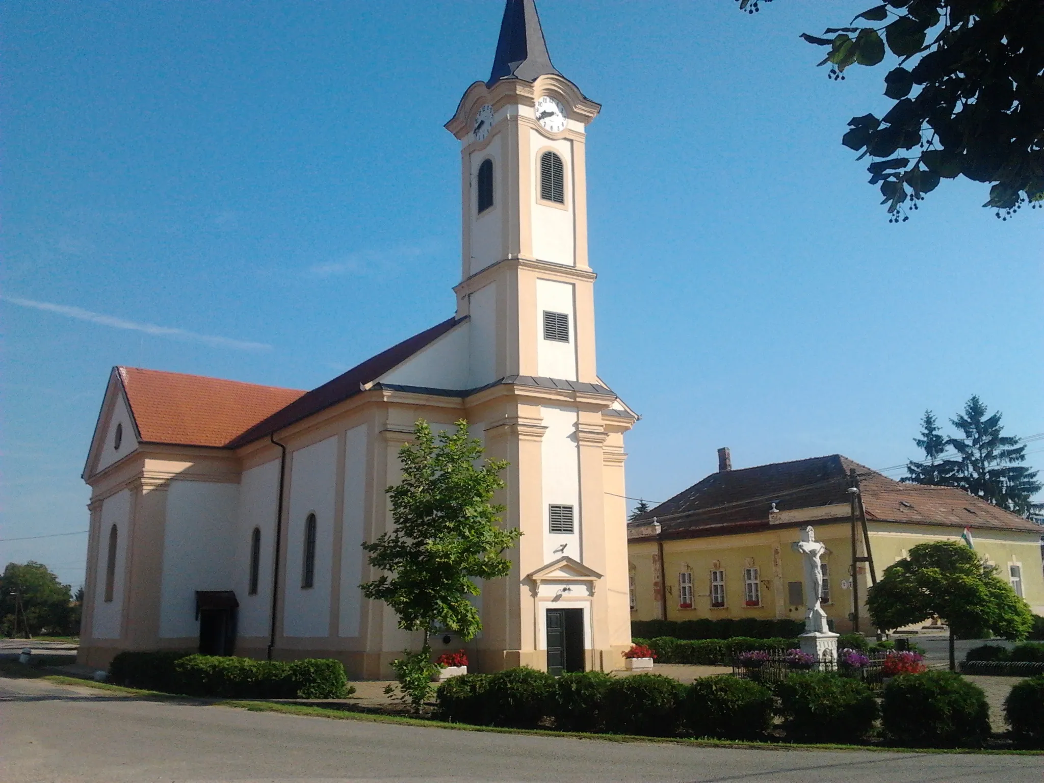
Répcelak, located in Nyugat-Dunántúl, Hungary, is a cyclist-friendly locality that offers a mix of road and gravel routes. The region's countryside is dotted with charming villages and scenic landscapes, providing a enjoyable cycling experience. Répcelak is known for its peaceful atmosphere, making it perfect for cyclists seeking relaxation and tranquility. Moreover, there are several well-known cycling spots and famous climbs nearby, attracting riders who love a challenge. Overall, Répcelak is a wonderful destination for cyclists of all levels, with something to suit every preference.

Cycle through scenic Nyugat-Dunántúl on this 88 km road route.
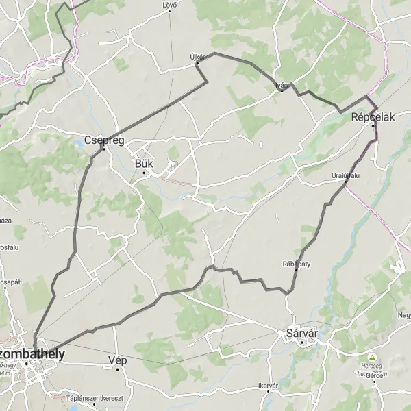
Starting from Rábapaty, this road route takes cyclists through charming locations like Porpác, Vasszilvágy, Lócs, and Iván, covering a total ascent of 119 m. With a distance of 88 km, it offers a moderate challenge for amateur cyclists. Rábapaty, Porpác, Vasszilvágy, Lócs, and Iván serve as highlights, offering picturesque landscapes and cultural attractions along the way.
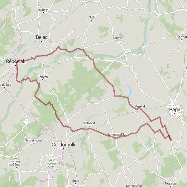
Gravel Tour around Répcelak

Explore the scenic countryside of Répcelak on this gravel tour
This gravel cycling route takes you through the beautiful countryside near Répcelak. With a distance of 65 km and an ascent of 137 m, it offers a moderate challenge for well-trained amateurs. The route highlights include the charming village of Nick, the picturesque town of Felsőmesteri, and the stunning views from Hercseg-hegy. Overall, this route provides a great opportunity to experience the beauty of the Nyugat-Dunántúl region while enjoying a unique gravel cycling adventure.
Rábapaty and Söpte Road Route
Experience the beauty of Nyugat-Dunántúl on this 98 km road route.
The road route starting from Rábapaty and passing through locations like Vát, Söpte, Tormásliget, and Iván offers a scenic cycling experience with a total ascent of 188 m. With a distance of 98 km, this route is suitable for well-trained amateur cyclists. Rábapaty, Söpte, and Iván serve as charming highlights along the way, providing opportunities to immerse in the beauty of the region.
Cycle through beautiful landscapes spanning 104 km.
This gravel route takes you from Répcelak through Kemeneshőgyész, Pápadereske, and Nick. With a total distance of 104 km, you'll be able to admire the stunning scenery of Nyugat-Dunántúl. The route includes 156 m of ascent, providing a moderate challenge for amateur cyclists. With highlights including Répcelak, Kemeneshőgyész, Pápadereske, and Nick, you'll have plenty of picturesque spots to explore along the way.

Discover the beauty of Nyugat-Dunántúl on this 67 km gravel route.
Embark on a gravel adventure starting from Répceszemere and passing through Pusztacsalád, Fertőszéplak, Fertőendréd, and Gyóró. This 67 km route provides 107 m of ascent, making it suitable for amateur cyclists. Répceszemere, Pusztacsalád, Fertőszéplak, Fertőendréd, and Gyóró offer charming highlights along the way, allowing cyclists to enjoy the natural beauty and heritage of the region.
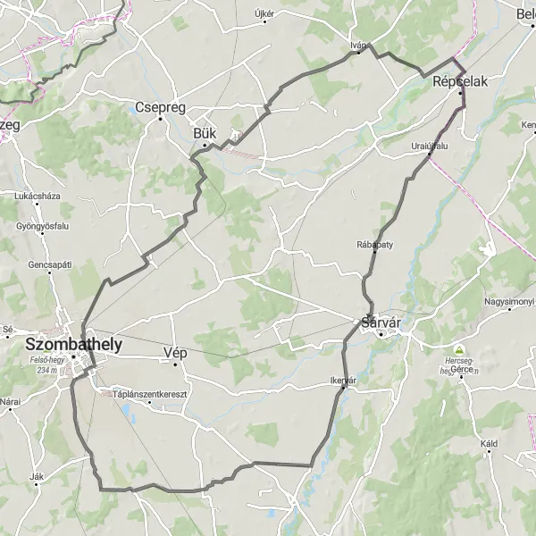
Embark on a scenic road cycling adventure near Répcelak
This road cycling route near Répcelak offers scenic views and a distance of 117 km with an ascent of 142 m. With a moderate difficulty level, it is suitable for well-trained amateur cyclists. The highlights of this route include the charming village of Rábapaty, the historical town of Ikervár, and the peaceful village of Csempeszkopács. Other notable spots along the route include Kisunyom, Söpte, Lócs, and Iván. Overall, this route provides a great opportunity to explore the picturesque countryside of Nyugat-Dunántúl while enjoying a rewarding road cycling experience.

Enjoy panoramic views and explore charming villages on this road cycling route
This road cycling route near Répcelak offers panoramic views and a distance of 127 km with an ascent of 69 m. With a moderate difficulty level, it is suitable for well-trained amateur cyclists. The highlights along the route include Csapod with its scenic landscapes, Vitnyéd with its peaceful atmosphere, and Tőzeggyármajor with its rich natural surroundings. You will also pass through the picturesque town of Tadten, Jánossomorja, Bősárkány, Csorna, and Vadosfa. This route allows you to explore the beauty of the Nyugat-Dunántúl region while enjoying a challenging road cycling adventure.
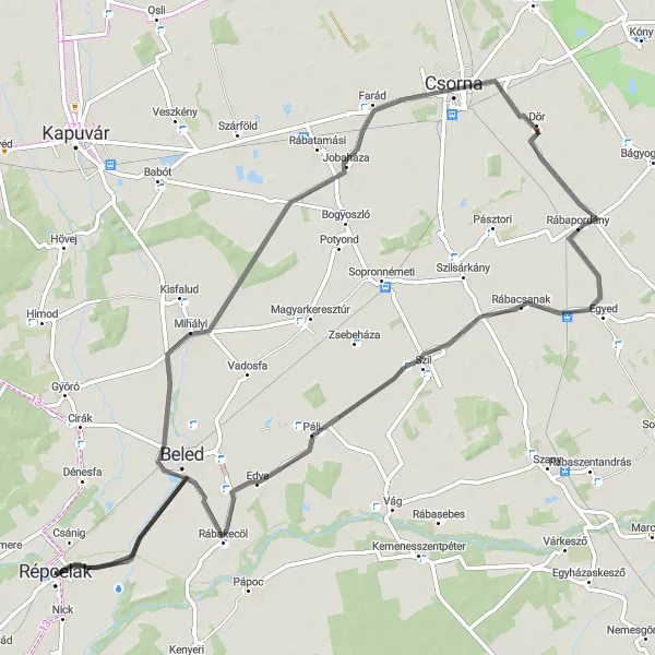
Experience idyllic landscapes on this road cycling route from Répcelak
Embark on a scenic road cycling adventure from Répcelak with this 80 km route featuring an ascent of 33 m. Suitable for all skill levels, this route showcases the idyllic landscapes of the Nyugat-Dunántúl region. Highlights along the route include Mihályi with its charming rural setting, Jobaháza with its peaceful atmosphere, and Rábapordány with its beautiful natural surroundings. You will also pass through Rábacsanak, offering a pleasant glimpse of the local culture. This route offers a relaxed and enjoyable cycling experience, allowing you to take in the beauty of the region at your own pace.
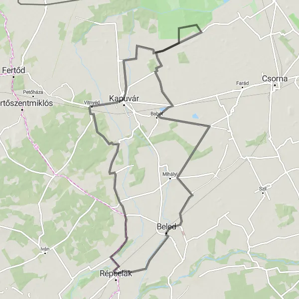
Cycle through the scenic countryside and explore Gyóró on this road route
Take a journey through the picturesque countryside of Nyugat-Dunántúl with this road cycling route. With a distance of 88 km and an ascent of 40 m, it offers a relatively easy ride suitable for well-trained amateur cyclists. The highlights of this route include the charming settlement of Gyóró and the tranquil village of Vitnyéd. You will also pass through Osli with its scenic landscapes and Vadosfa with its peaceful atmosphere. This route gives you the opportunity to explore the beauty of the Hungarian countryside while enjoying a leisurely road cycling adventure.
Embark on a 114 km road route through picturesque landscapes.
This road route starting from Vashosszúfalu takes cyclists through stunning locations like Kecske-hegy, Ikervár, and Vasegerszeg, covering a total ascent of 280 m. The 114 km distance and moderate difficulty make it suitable for experienced amateur cyclists. Highlights along the route include Vashosszúfalu, Kecske-hegy, Ikervár, Rábapaty, and Vasegerszeg, offering a diverse range of scenery and attractions to explore.
Cycling routes nearby:
Nearby regions: