Törtel - Kőröstetétlen Route
A road cycling route starting from Cegled
Experience the beauty of Törtel and Kőröstetétlen on this road cycling route
Map
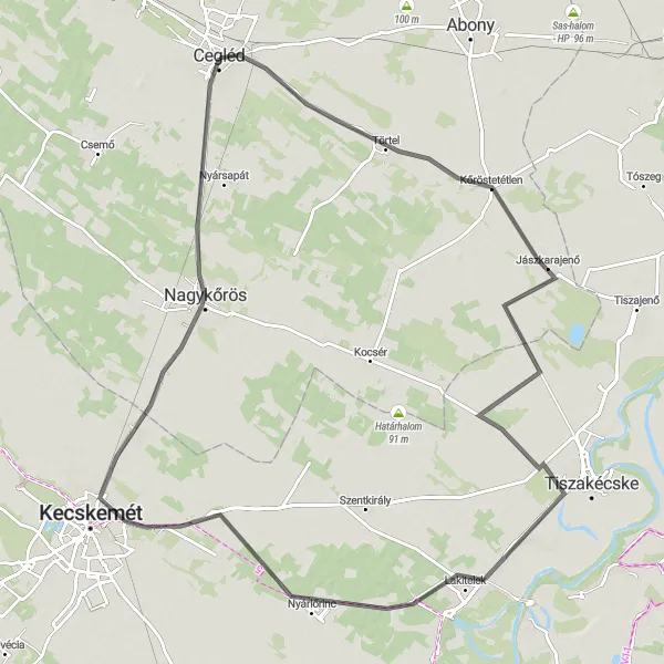
The Törtel - Kőröstetétlen Route is a 113 km long road cycling adventure with a moderate ascent of 49 m. This route offers a diverse landscape and takes you through Törtel, Kőröstetétlen, Nyárlőrinc, Katonatelep, and Nagykőrös, before returning to Cegléd. It is suitable for well-trained amateur cyclists who enjoy longer rides with various highlights along the way.
road
113 km
49 m
Tough
Route profile
Highlights on the route
0 km
0 km
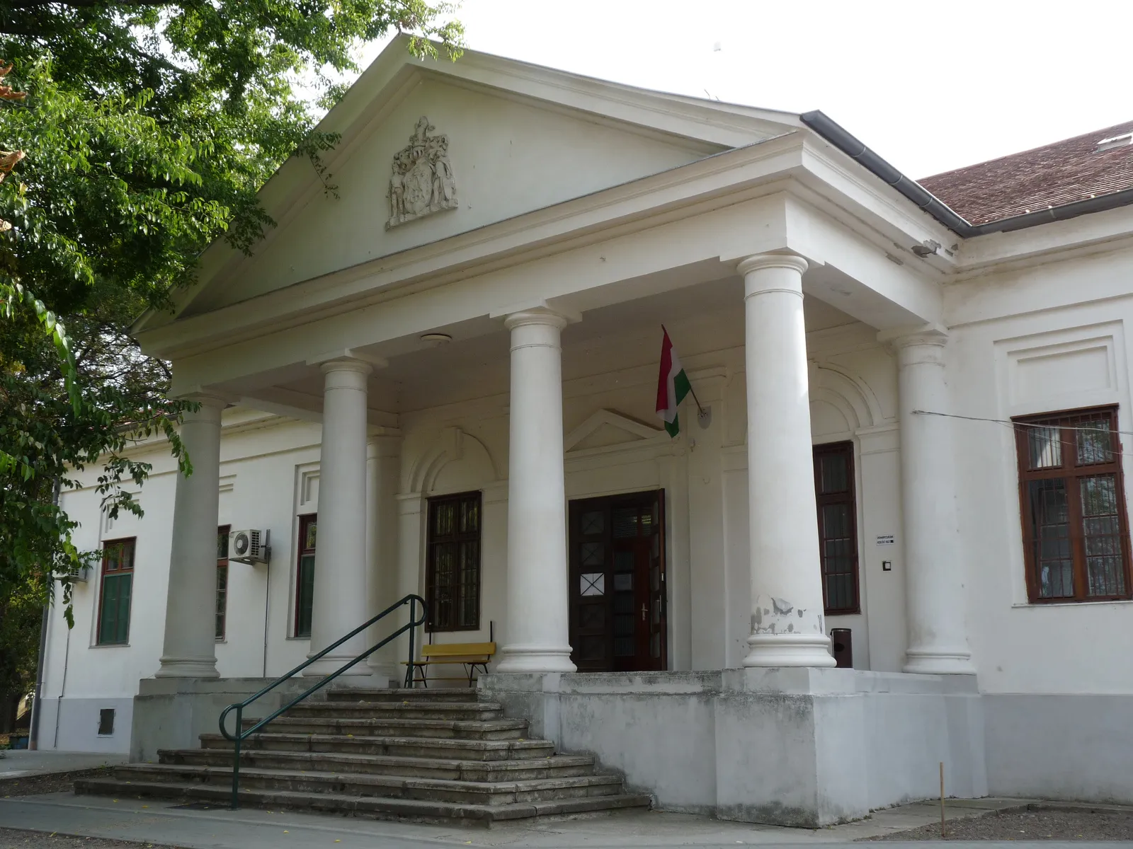
Start: Cegléd City centerCegléd: Biking through the beautiful landscape of Cegléd
Cegléd is a town located in the Pest region of Hungary. From a cyclist's perspective, it offers a mix of flat terrain and rolling hills, making it suitable for both road and gravel cycling. The town itself has a well-developed cycling infrastructure, with dedicated bike lanes and paths throughout. Nearby, there are several scenic routes that cyclists can explore, including the Cegléd Landscape Protection Area and the Böddi Lake. Additionally, Cegléd is a popular starting point for cyclists looking to tackle the famous Kekes Mountain, the highest peak in Hungary.12 km
12 km
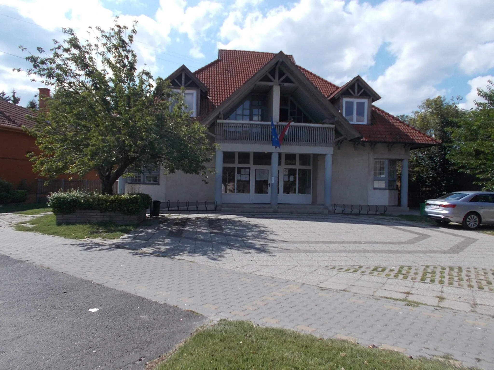
TörtelVillageTörtel, a small village with traditional Hungarian houses, is known for its rich culture and warm hospitality. Take a detour and explore its narrow streets and charming buildings.
19 km
19 km
KőröstetétlenVillageKőröstetétlen is a hidden gem with stunning natural surroundings. Enjoy breathtaking views and immerse yourself in the peaceful atmosphere.
66 km
66 km
NyárlőrincVillageNyárlőrinc is famous for its historical sites and beautiful landscapes. Take a moment to visit the local attractions and learn about the area's history.
88 km
88 km
KatonatelepSub-urbKatonatelep, a former military base, offers a unique experience. Explore the abandoned buildings and imagine the life of soldiers in the past.
97 km
97 km
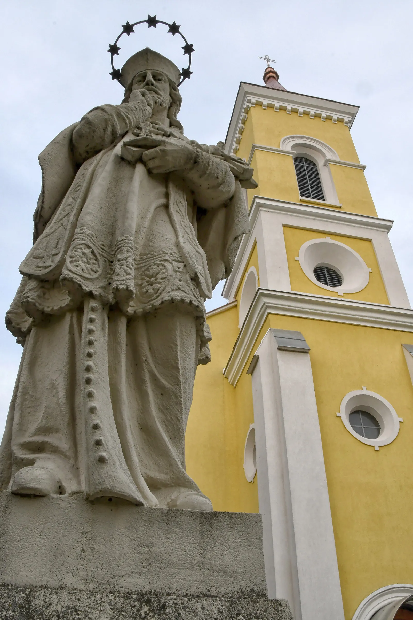
NagykőrösTownNagykőrös is a vibrant town with a rich cultural heritage. From museums to traditional events, there is always something happening in this lively place.
113 km
113 km
CeglédTownCegléd, the starting and ending point of the route, is a city with a fascinating history. Visit its landmarks, taste local delicacies, and explore the vibrant center.
113 km
113 km
Finish: Cegléd City centerCegléd: Biking through the beautiful landscape of Cegléd
Cycling routes from Cegled:
Cycling routes nearby: