A scenic cycling route starting from Fót
Map
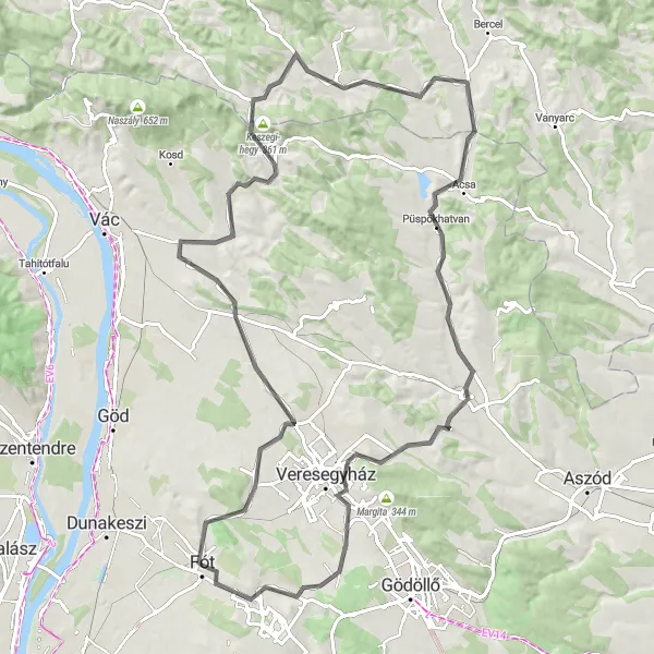
The Fót Loop is a scenic cycling route that begins in the charming town of Fót. This route offers stunning views of the surrounding countryside and takes cyclists through various highlights along the way. With a moderate ascent and a total distance of 96 kilometers, it is suitable for well-trained amateur cyclists. A combination of road and gravel sections add an element of adventure to this ride.
road
96 km
966 m
Tough
Route profile
Highlights on the route
0 km
0 km
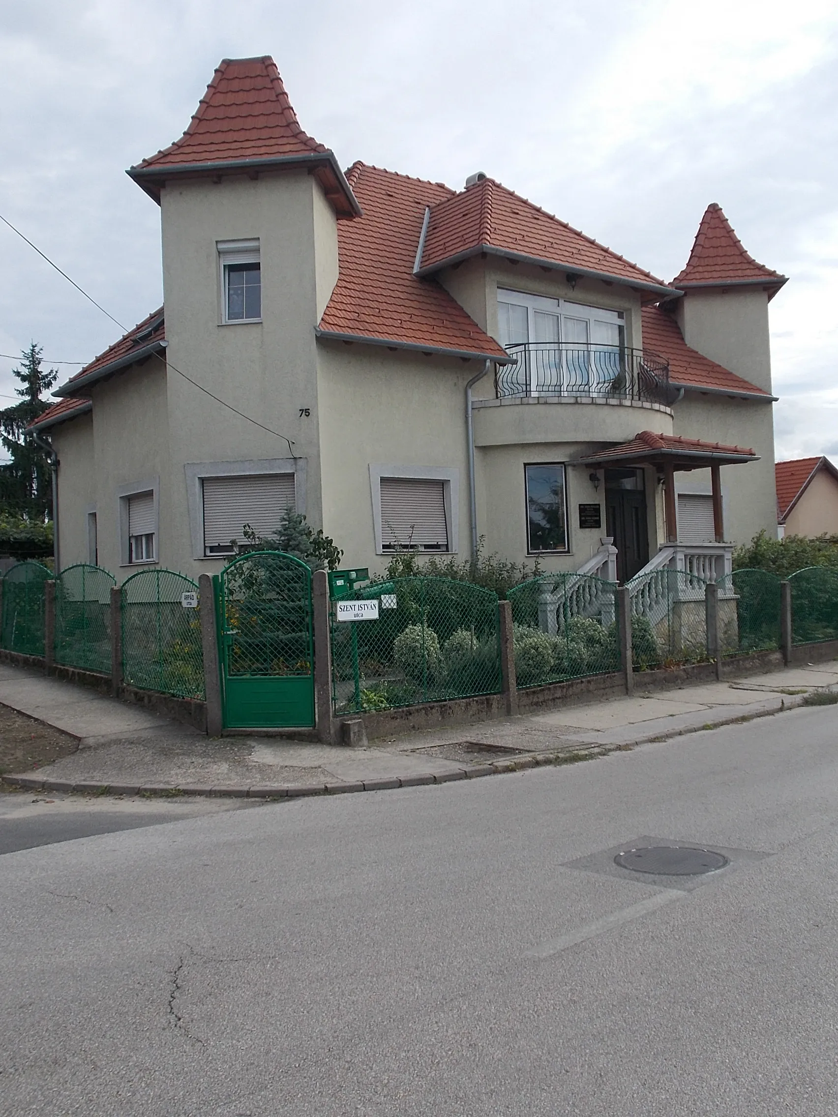
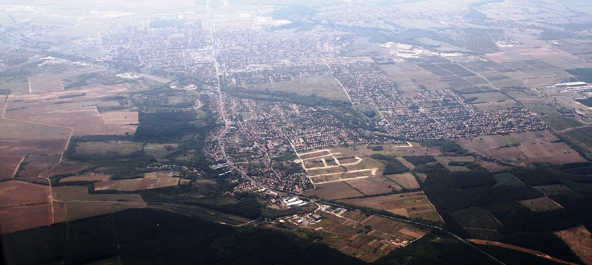
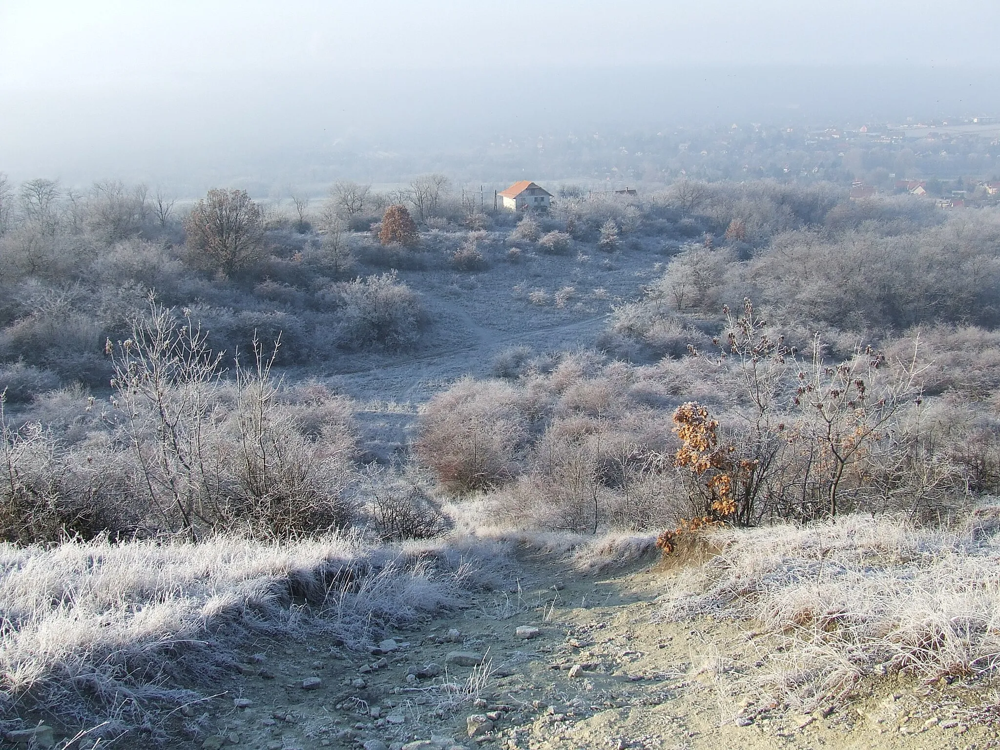
Start: Fót City centerFót: Embark on a scenic cycling journey through Fót's charming surroundings and nearby cultural landmarks.
Fót, located in Hungary's Pest region, offers a favorable environment for road and gravel cyclists. The locality is known for its well-paved roads and diverse cycling routes that cater to cyclists of all skill levels. With stunning landscapes and beautiful scenery, Fót provides an enjoyable cycling experience. Cyclists often explore nearby locations like the idyllic town of Szentendre or the historic palace of Gödöllő, both easily accessible from Fót. With its cycling-friendly infrastructure and close proximity to interesting attractions, Fót is an excellent choice for cyclists seeking a well-rounded experience.3 km
3 km
Fóti-Somlyó288 mPeakFóti-Somlyó is a hill located near Fót with beautiful panoramic views of the area.
11 km
11 km
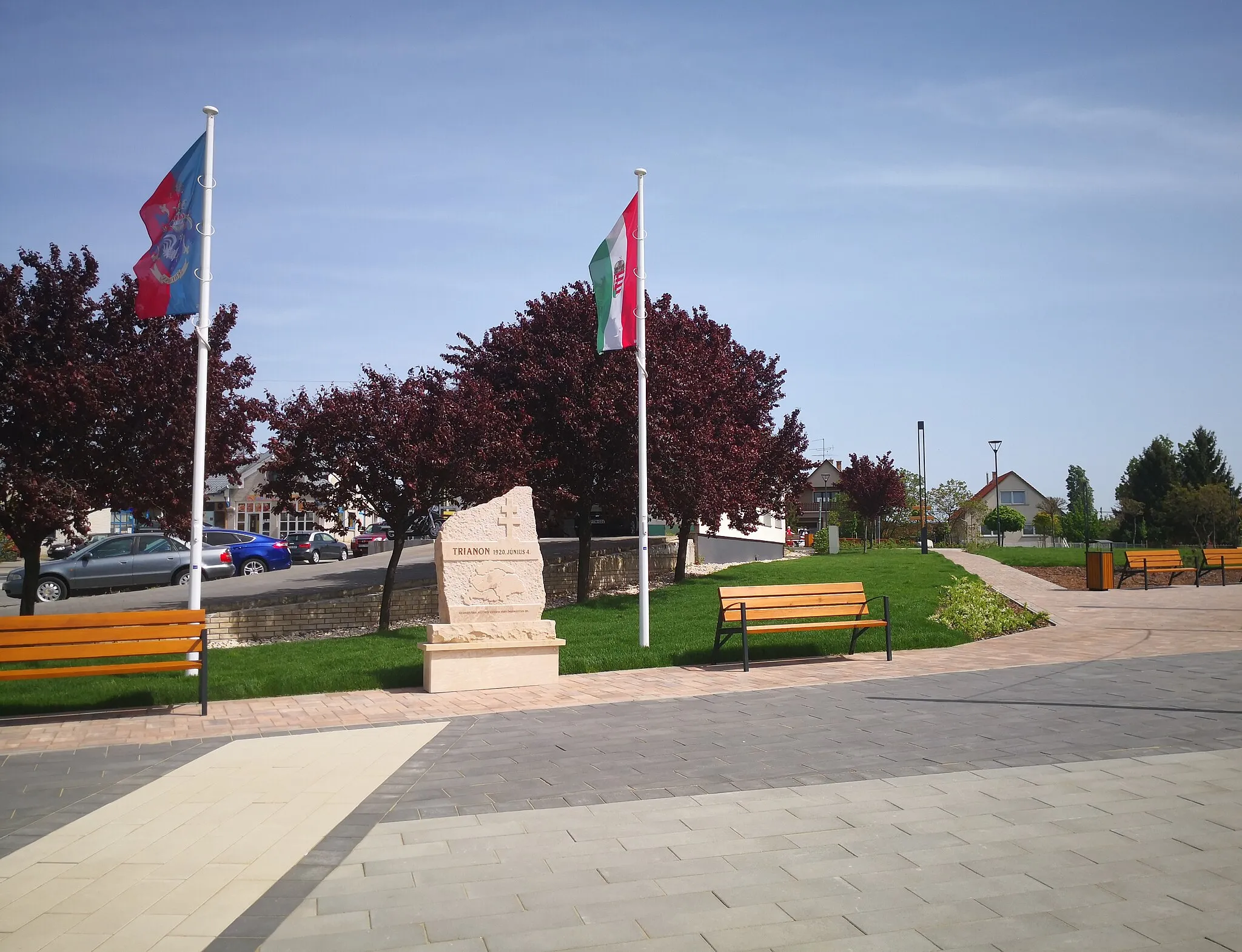
ŐrbottyánTownŐrbottyán is a picturesque village that is worth a visit.
29 km
29 km
Vörös-hegy185 mPeakVörös-hegy offers scenic spots and a chance to rest and enjoy nature.
32 km
32 km
PencVillagePenc is a charming village with traditional architecture and a relaxing atmosphere.
41 km
41 km
Szele-hegy278 mPeakSzele-hegy is a small, but challenging ascent that provides stunning views at the top.
51 km
51 km
GalgagutaVillageGalgaguta is a picturesque village with historic buildings and a peaceful ambiance.
70 km
70 km
GalgamácsaVillageGalgamácsa is a rural settlement surrounded by beautiful fields and meadows.
73 km
73 km
Öreg-hegy245 mPeakÖreg-hegy is a hill with a rewarding viewpoint at the summit.
90 km
90 km
Gyertyános326 mPeakGyertyános features a dense forest and a tranquil environment.
92 km
92 km
MogyoródVillageMogyoród is a bustling town known for its popular Hungaroring circuit.
96 km
96 km
Finish: Fót City centerFót: Embark on a scenic cycling journey through Fót's charming surroundings and nearby cultural landmarks.
Cycling routes from Fot:
The Danube Bend Gravel Adventure Veresegyház Loop Hills of Pest County Scenic Countryside Tour Gravel Adventure in Fót The Forests and Hills of Fót Fót and Surroundings Exploring Pest's Gravel Paths The Hills and Valleys of Galgamácsa Gravel Adventure The Gravel Adventure Fót Loop The Road to Serenity The Scenic Countryside
Cycling routes nearby: