Apát-kúti-bérc Gravel Adventure
A gravel cycling route starting from Leanyfalu
Embark on a thrilling gravel adventure through Apát-kúti-bérc near Leányfalu.
Map
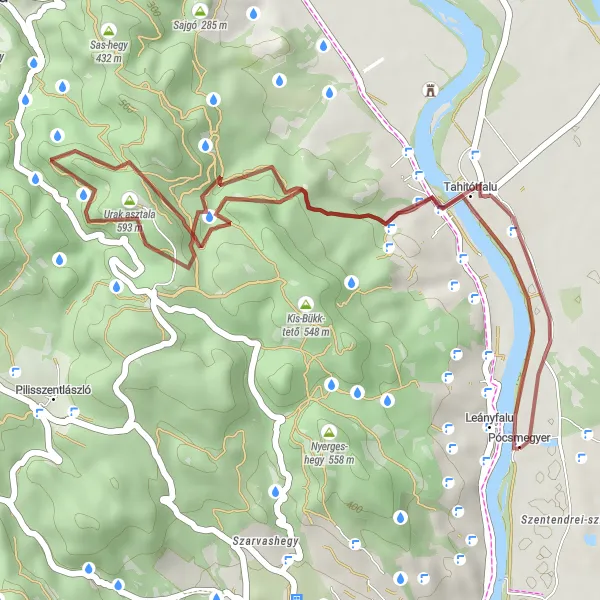
This gravel cycling route offers an exciting adventure through the wild countryside around Leányfalu, covering a total distance of 31 kilometers and an ascent of 574 meters. The highlight of the route is Apát-kúti-bérc, an area known for its rugged beauty and stunning views. This route is suitable for experienced gravel riders looking for a challenging and scenic ride.
gravel
31 km
574 m
Tough
Route profile
Highlights on the route
0 km
0 km
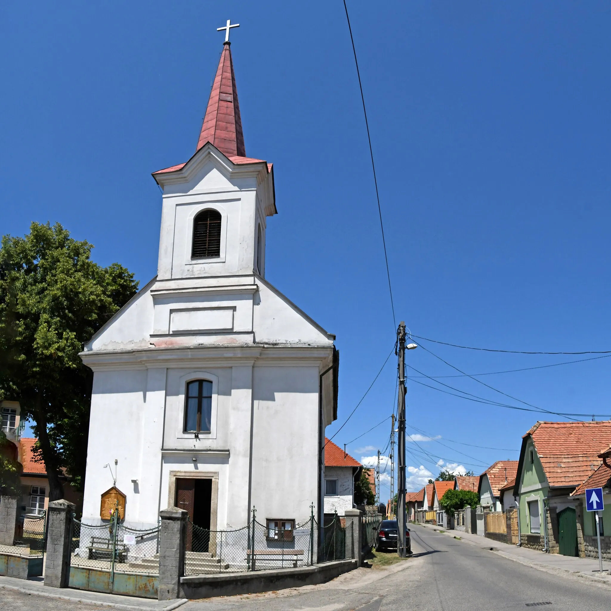
Start: Pócsmegyer Village centerLeányfalu: Scenic cycling routes in Leányfalu
Leányfalu, situated in Pest county, Hungary, is a charming locality for cyclists to explore. The region offers a variety of road and gravel cycling routes with stunning views of the surrounding countryside. Some well-known climbs nearby include Visegrádi Hegy and Pilis, which offer challenging ascents and rewarding panoramic views from the top. Leányfalu is a cycling-friendly area, making it a great destination for cyclists of all levels.0 km
0 km
LeányfaluVillage14 km
14 km
Apát-kúti-bérc441 mPeakExplore Apát-kúti-bérc, a wild and rugged area with picturesque landscapes and exciting trails.
22 km
22 km
Hegyesd316 mPeakExperience the beauty of Hegyesd, a small village with unique natural surroundings and scenic views.
27 km
27 km
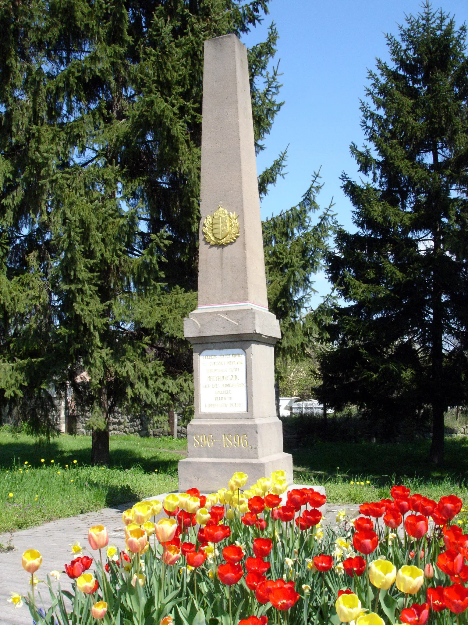
Pollack Mihály síremlékeAttractionDiscover Pollack Mihály's tomb, a historical site in the heart of nature, offering a tranquil and reflective atmosphere.
31 km
31 km
Finish: Pócsmegyer Village centerLeányfalu: Scenic cycling routes in Leányfalu
Cycling routes nearby: