Immerse yourself in the beauty of Bayside on an unforgettable cycling adventure in Ireland.
Cycling routes from Bayside
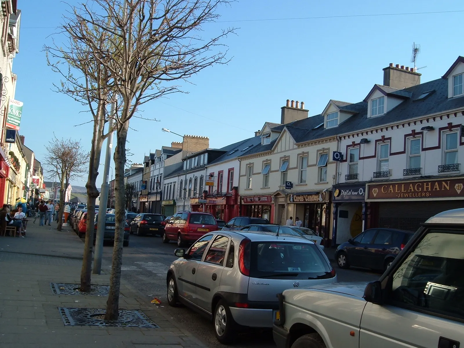
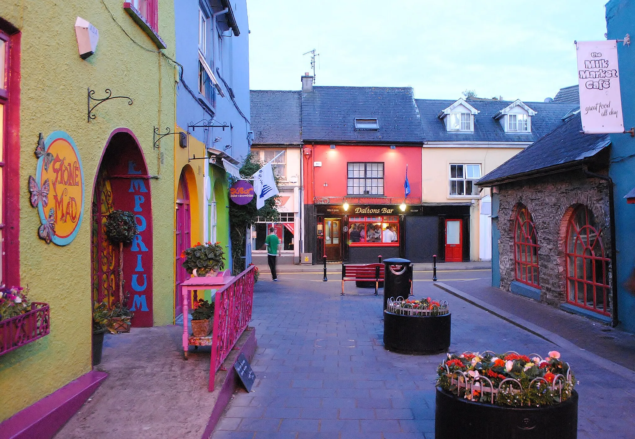
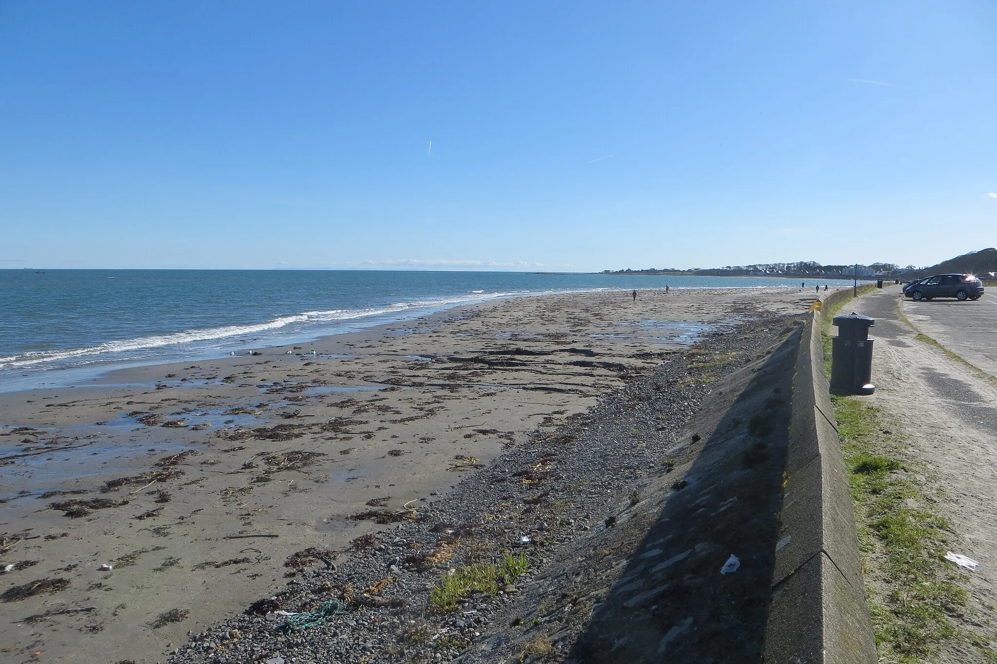
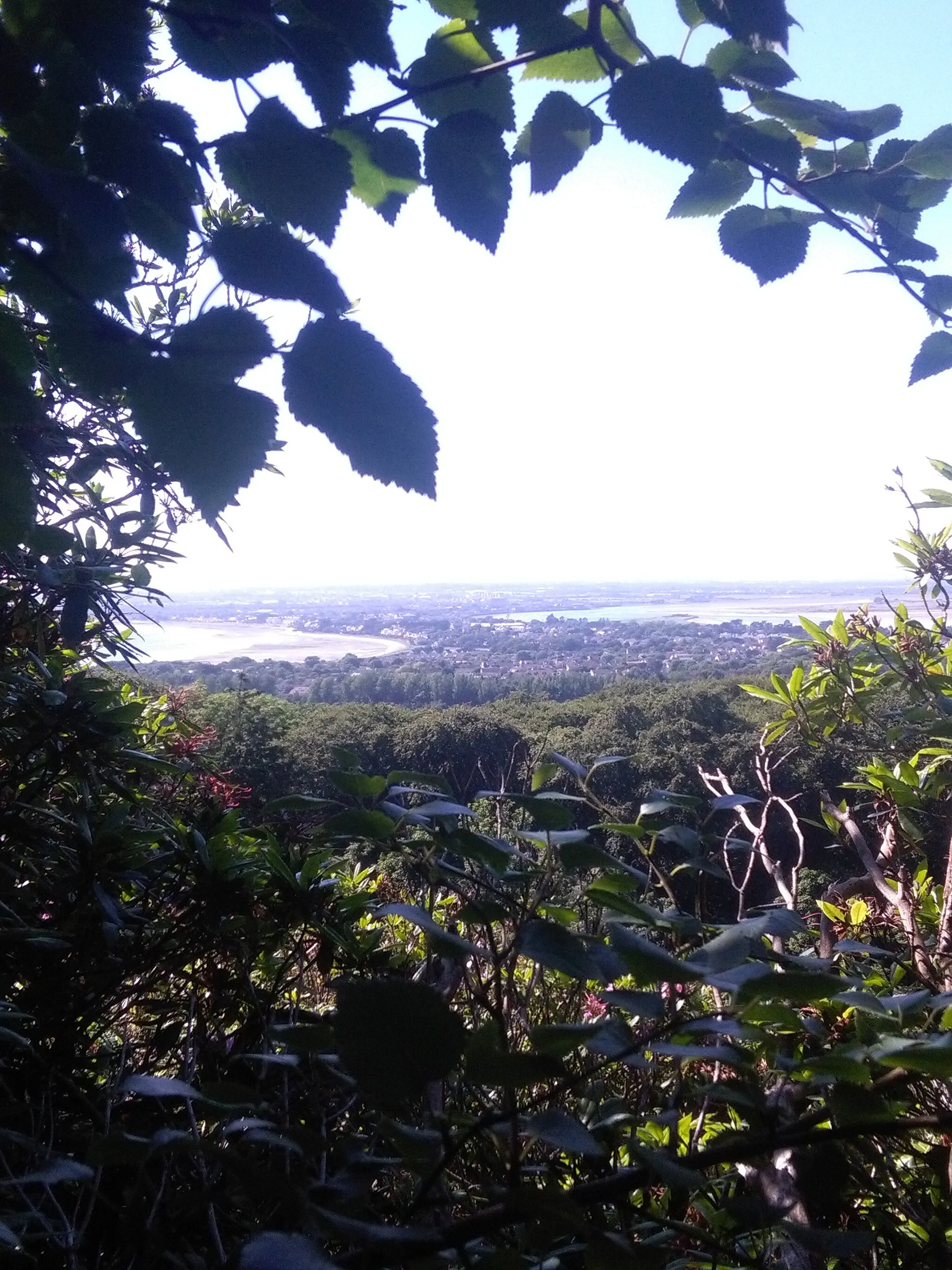
Bayside, located in the Eastern and Midland region of Ireland, is a cyclist's dream destination. The area offers a mix of coastal routes and scenic countryside roads, providing a variety of cycling options. Cyclists can enjoy rides along the stunning Irish coastline, passing by sandy beaches and charming fishing villages. The locality is well-connected with cycling paths, making navigation easy and safe. Nearby, the famous Dublin Mountains offer iconic climbs, attracting both recreational and professional cyclists. Bayside guarantees memorable cycling experiences amidst a picturesque Irish landscape.
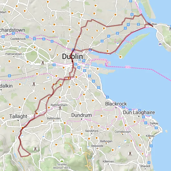
Gravel adventure through Tallaght's scenic landscapes
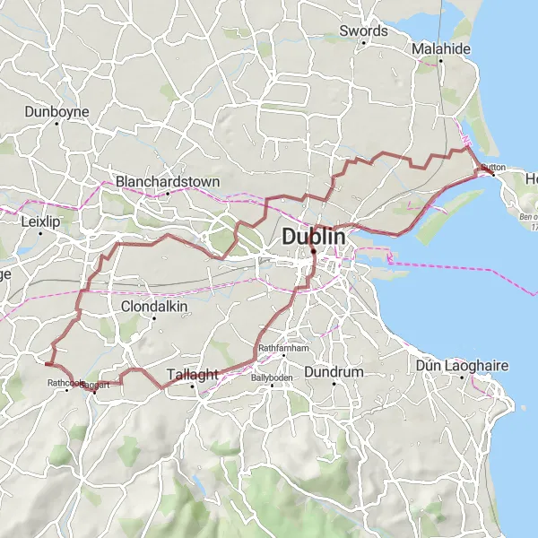
This gravel adventure takes you through the beautiful landscapes of Tallaght. With a distance of 76km and an ascent of 221m, this route offers a mix of challenging terrain and serene surroundings. Explore the hidden gems of Tallaght and experience the thrill of off-road cycling.
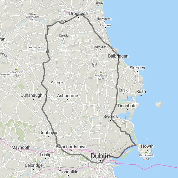
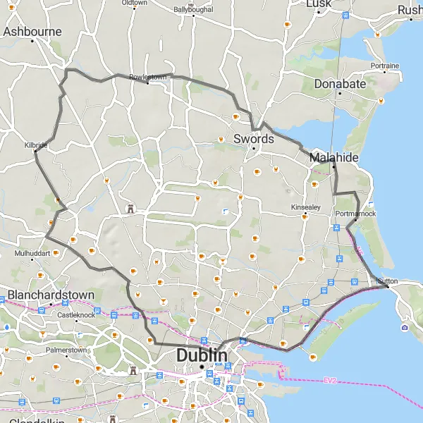
Dublin Loop
Scenic countryside route around Dublin
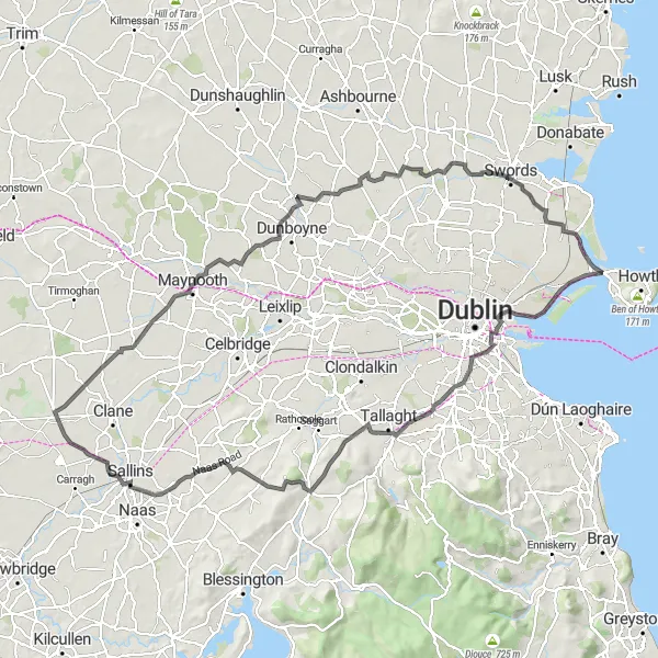
The Dublin Loop is a beautiful cycling route that takes you through the scenic countryside around Dublin. With a total distance of 122 kilometers and an ascent of 571 meters, this road cycling adventure is perfect for experienced amateur cyclists. The route starts near Bayside and passes through Rathmines, Firhouse, Saggart Hill, Kill Hill, Prosperous, Maynooth Castle, Kilbride, Swords Round Tower, and Sutton. Along the way, you will be treated to stunning views, historic landmarks, and charming towns. The Dublin Loop is a must-try for cyclists looking to explore the outskirts of Dublin and immerse themselves in the beauty of Ireland.
An adventurous route from Bayside to Sutton with exciting highlights.
Embark on an adventurous cycling journey from Bayside to Sutton, covering a distance of 92 kilometers with a total ascent of 398 meters. This road route is best suited for experienced cyclists looking for a challenge. With an epicness rating of 4 out of 5, this route promises stunning landscapes and memorable moments. Get ready to explore magnificent views and charming towns.
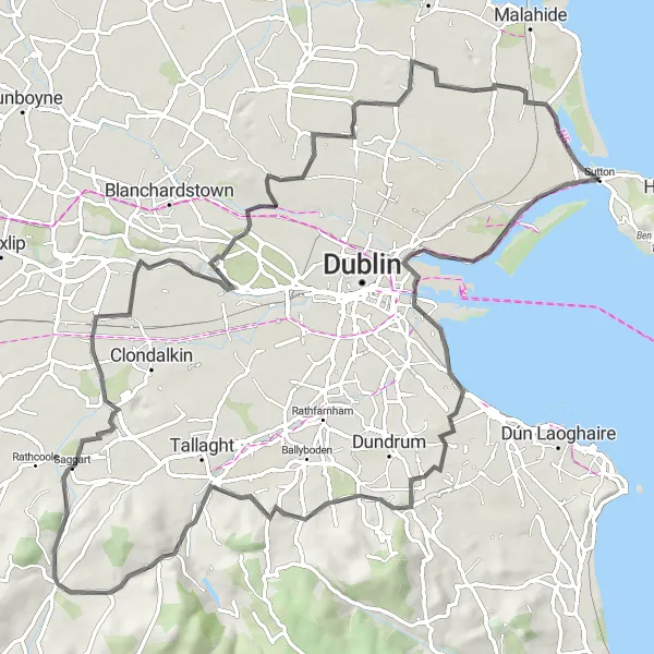
Road route showcasing Ireland's cultural heritage
This road route takes you on a journey through Ireland's rich cultural heritage. With a distance of 122km and an ascent of 507m, this route is perfect for cyclists looking to explore historic landmarks and experience the charm of Ireland. Cycle through picturesque towns and immerse yourself in the fascinating history of the region.
Gravel route with stunning views of the Ericsson Skyline
This gravel route is perfect for adventurous cyclists looking for breathtaking views. The route takes you through scenic landscapes and includes a challenging ascent, offering a rewarding experience. With a distance of 65km and 397m of ascent, this route will test your endurance and provide a unique cycling experience.
Road route along the beautiful Sutton coastline
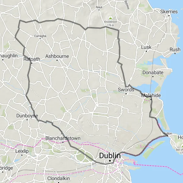
This road route offers a scenic ride along the stunning Sutton coastline. With a distance of 94km and an ascent of 627m, this route is suitable for experienced cyclists looking for a challenging but rewarding ride. The coastal views are breathtaking, making it a popular choice for cycling enthusiasts.
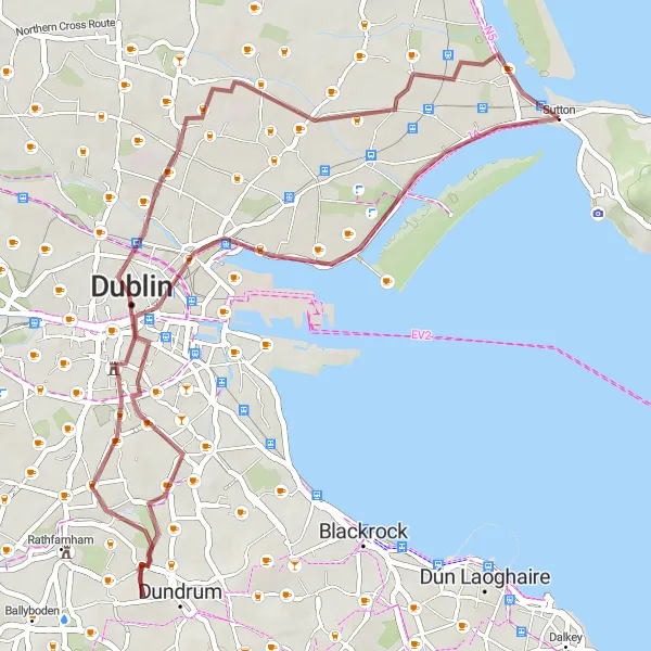
Scenic gravel route via Drumcondra
This scenic gravel route takes you through the charming town of Drumcondra. With a distance of 45km and an ascent of 142m, this route is suitable for cyclists of all levels. Enjoy the picturesque landscapes and immerse yourself in the tranquility of nature.
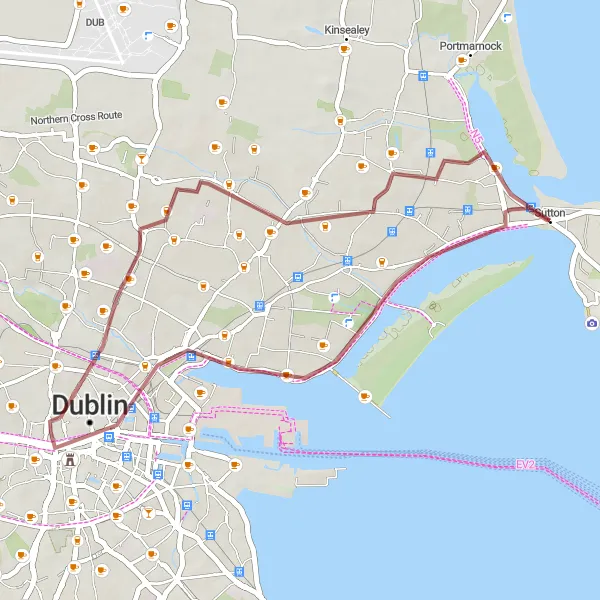
A gravel ride through Dublin's urban landscape
Experience the vibrant urban landscape of Dublin with the Urban Gravel cycling route. Covering a distance of 31 kilometers and with an ascent of 66 meters, this gravel ride is perfect for cyclists looking to explore Dublin's hidden gems. Starting near Bayside, the route takes you through North Strand, Ericsson Skyline, and Drumcondra. Discover the beauty of Dublin's bustling streets, admire the modern architecture, and immerse yourself in the city's dynamic atmosphere. The Urban Gravel route offers an exciting adventure through the heart of Dublin, combining the thrill of gravel biking with the charm of the urban landscape.
Coastal Gravel
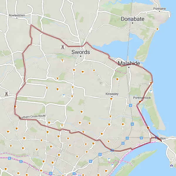
A coastal adventure on gravel roads
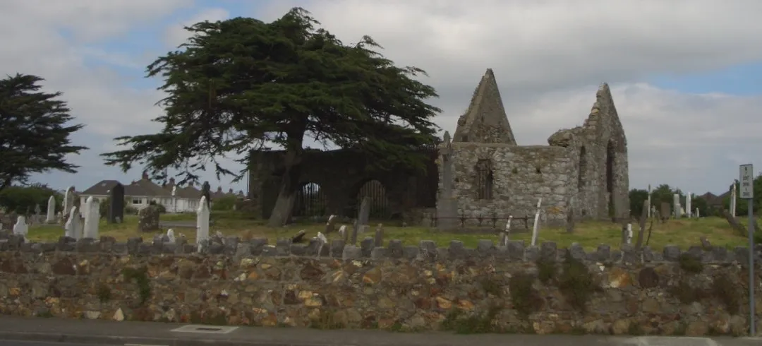
Embark on a thrilling coastal adventure with the Coastal Gravel cycling route. Spanning 45 kilometers with an ascent of 138 meters, this gravel ride is suitable for cyclists looking for a mix of excitement and relaxation. Starting near Bayside, the route takes you through Santry, Glasmore Abbey, and Portmarnock. Explore the rugged coastline, admire ancient ruins, and enjoy the tranquility of nature. The Coastal Gravel route offers a unique experience where you can challenge yourself on gravel roads while soaking in breathtaking coastal views.
Bayside to Fairview
A scenic route from Bayside to Fairview with notable highlights.
This distinct cycling route takes you from Bayside to Fairview, offering stunning views along the way. With a total ascent of 159 meters and covering a distance of 62 kilometers, this road route is suitable for well-trained amateur cyclists. The route is moderately challenging and provides a fulfilling cycling experience. The epicness rating for this route is 3 out of 5.
Cycling routes nearby:


Nearby regions: