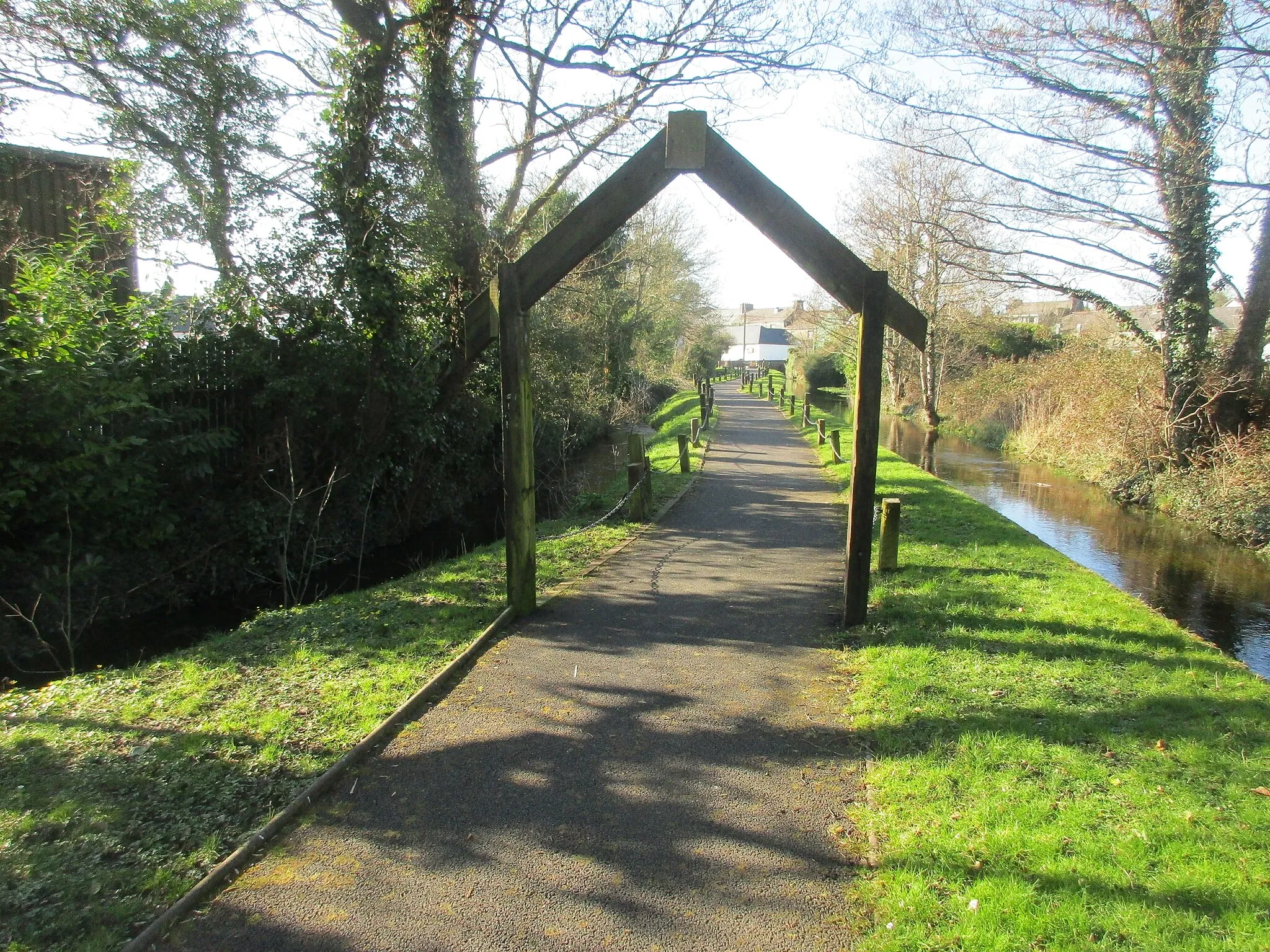
Tranquil cycling in the Irish countryside
Cycling routes from Darndale
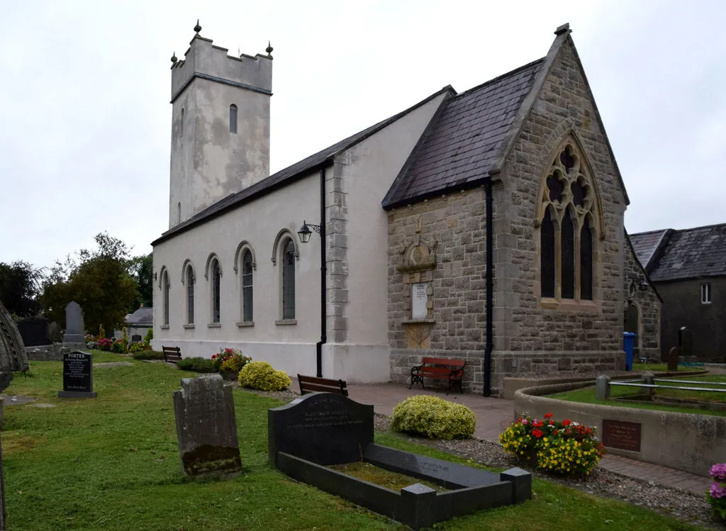
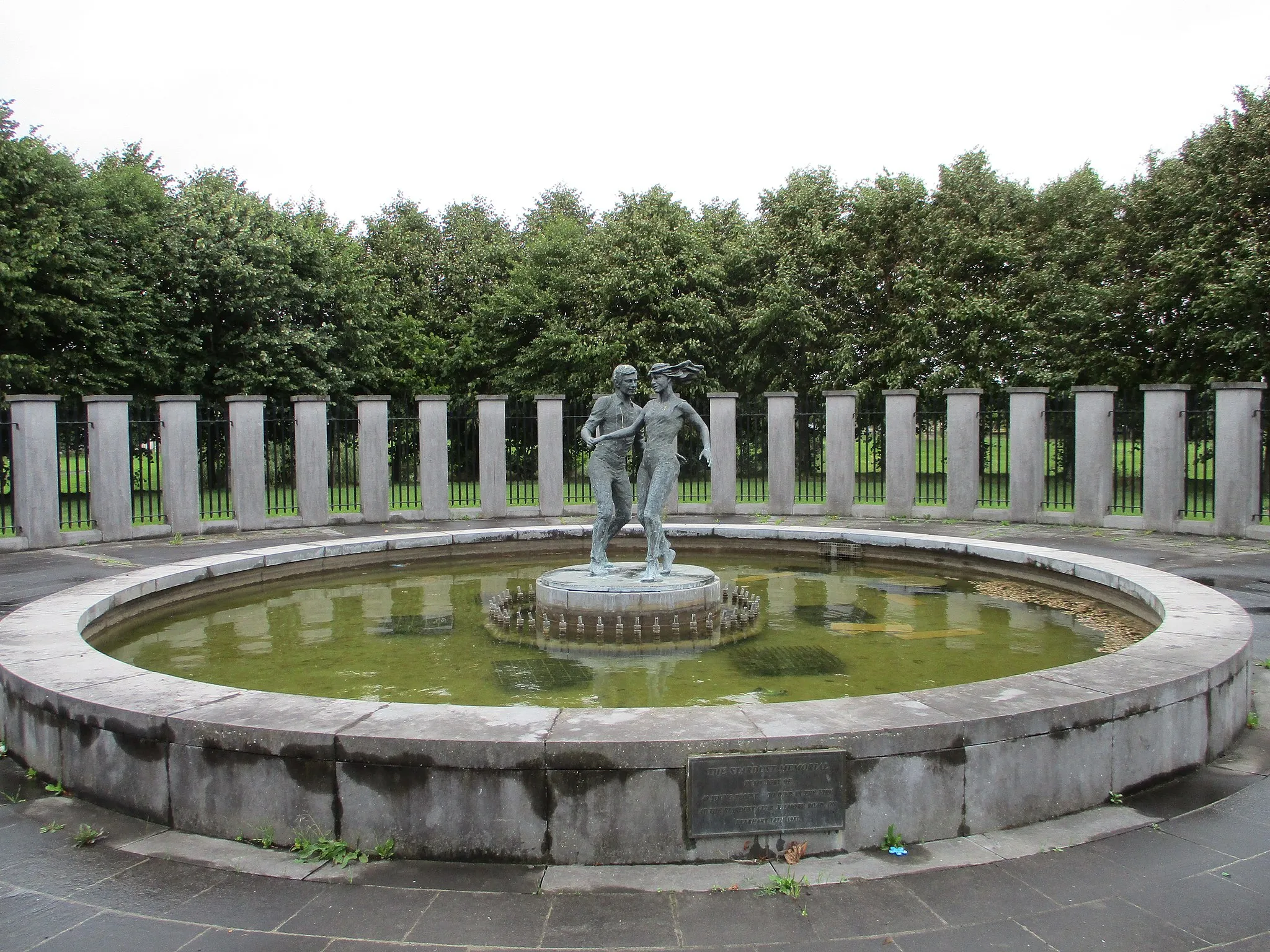
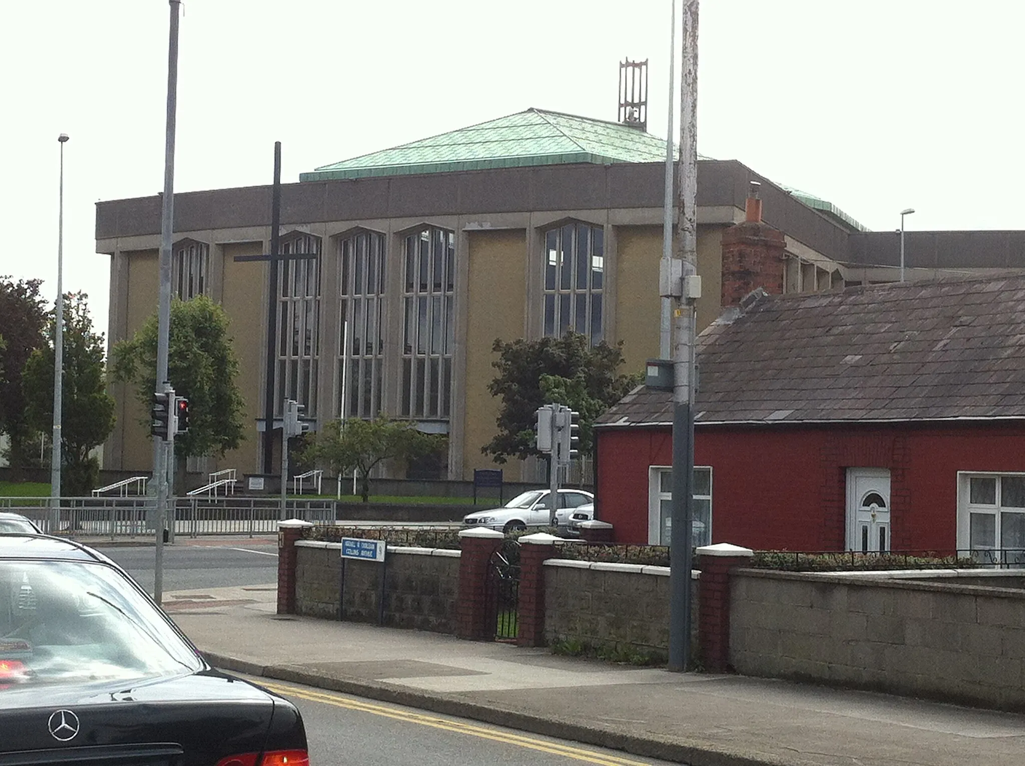
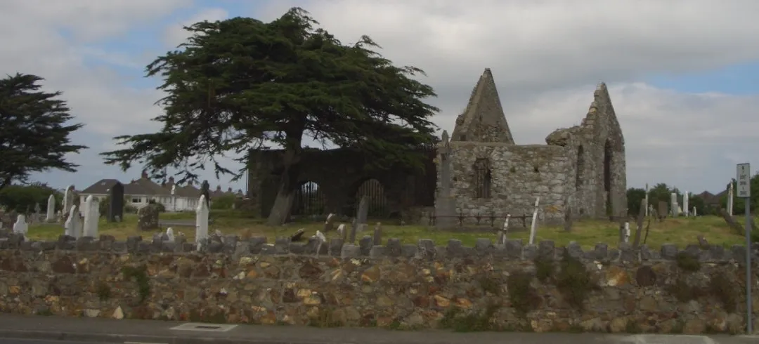
Darndale, situated in Eastern and Midland, Ireland, offers a pleasant and scenic environment for road and gravel cyclists. The locality is surrounded by beautiful countryside, perfect for leisurely rides or more challenging routes. Despite not having any notable cycling-related attractions, Darndale's peaceful atmosphere and serene landscapes make it a great spot for cyclists looking to escape the hustle and bustle of city life.
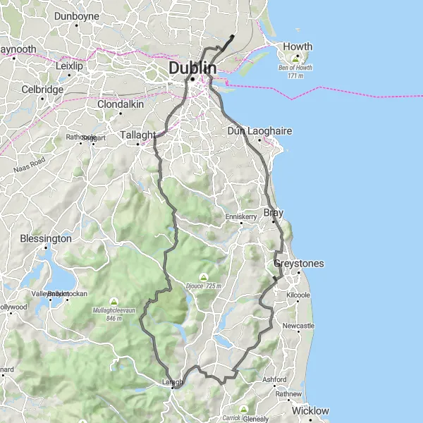
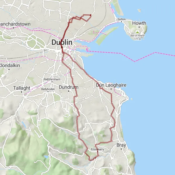
Embark on a thrilling journey from Donnycarney to Carrigshouk
This epic 125km road cycling route will challenge even the most seasoned cyclists. With an impressive ascent of 1330m, this ride offers breathtaking views and exhilarating descents. The route takes you through the bustling neighborhood of Donnycarney, picturesque town of Bray, and scenic village of Delgany. As you continue your journey, you'll pass by Glenmacnass Waterfall, an enchanting natural attraction. The highlights along the route include the historical Carrigshouk, Killakee Mountain, and Glen[x](n)ma(ç)[e (since accent differs production-wise)].
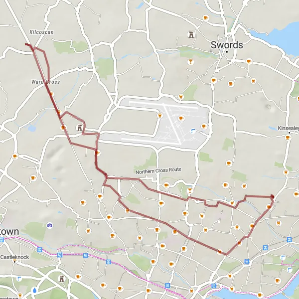
Embark on an adventurous gravel ride through Artane
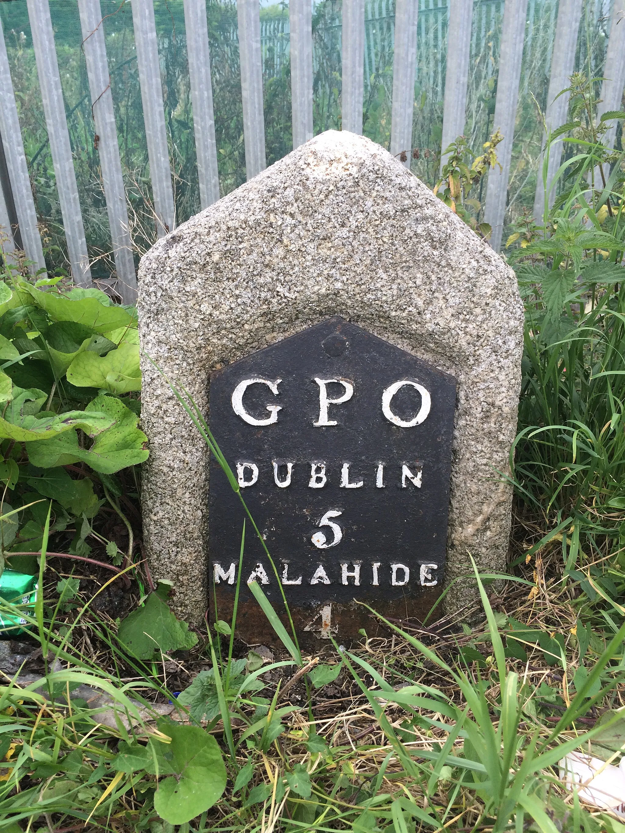
This 38km gravel cycling route offers a thrilling off-road experience for adventurous cyclists. With a gentle ascent of 110m, it is suitable for most riders with basic gravel biking skills. The route starts near Darndale and takes you through the vibrant neighborhood of Artane. Enjoy the rugged terrain and lush greenery as you navigate the gravel paths. Highlights along the route include the historic ruin of Dunsoughly Castle and the picturesque Artane suburb. Take a moment to admire the castle's architectural beauty and enjoy the scenic views of Artane.
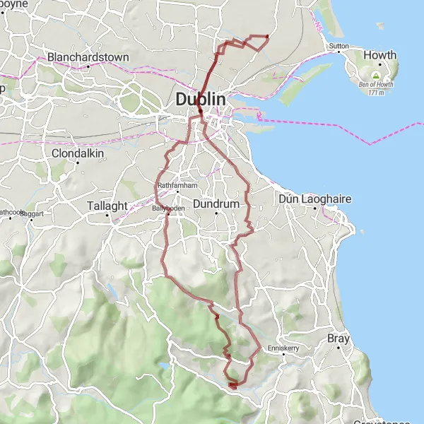
Embark on a thrilling off-road journey amidst nature's wonders and breathtaking views
Gear up for an unforgettable mountain adventure with this gravel route near Darndale. The 78-kilometer trail showcases the mesmerizing beauty of the Eastern and Midland region, taking you through rugged terrains and past stunning vistas. With a challenging ascent of 1,036 meters, this route is recommended for experienced off-road cyclists seeking an adrenaline-pumping expedition.
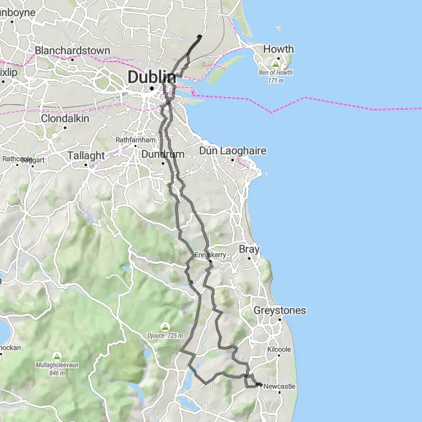
A thrilling ride with breathtaking hill climbs and stunning coastal views
Embark on a challenging cycling journey near Darndale with the Coastal Hill Challenge route. This route offers a thrilling adventure for well-trained amateur cyclists, with a total ascent of 1,293 meters and a distance of 101 kilometers. The route showcases the beautiful Eastern and Midland region of Ireland, taking you through quaint towns and magnificent hills.
Immerse yourself in lush greenery and bike through refreshing natural landscapes
Embark on a rejuvenating cycling journey through the lush green landscapes of the Eastern and Midland region with the Green Escape route. Spanning 56 kilometers and featuring an elevation gain of 212 meters, this gravel trail takes you through verdant terrain and picturesque villages. Suitable for leisure cyclists, this route offers a serene escape into nature's tranquility.
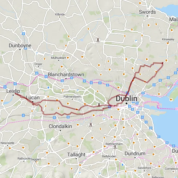
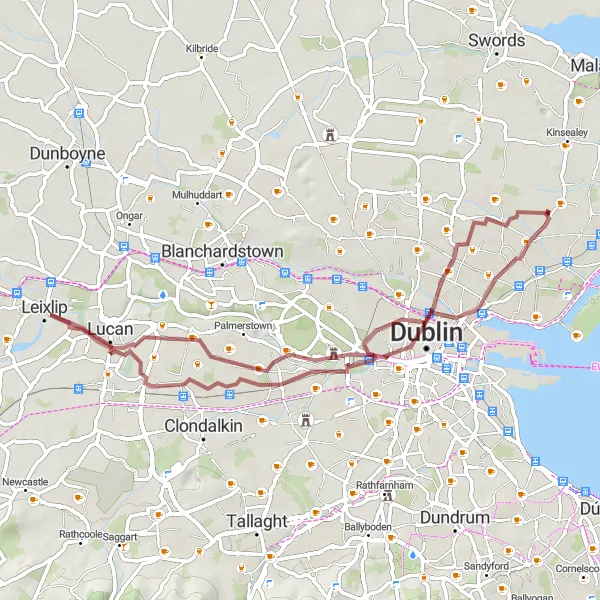
A picturesque ride through Rathmines and Hazelhatch Bridge
This scenic 86km road cycling route takes you through the historic areas of Rathmines and Hazelhatch Bridge. With a moderate ascent of 608m, this ride offers a balance of challenge and enjoyment. The route features charming villages, beautiful countryside, and historical landmarks. The highlights include the famous Ericsson Skyline, picturesque Mulhuddart, and the ruin of Dunsoughly Castle. Cyclists will also pass through Hazelhatch Bridge, a charming spot along the route.
Enjoy a serene retreat along riverside paths and immerse yourself in nature
Escape the hustle and bustle of everyday life with the Riverside Retreat cycling route. This 55-kilometer long gravel route takes you on a scenic journey, meandering alongside beautiful rivers and through quaint towns. With a moderate difficulty level and an ascent of 198 meters, this route is perfect for those seeking a peaceful cycling escapade.
Donnycarney to Chapelizod Route
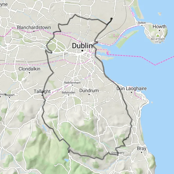
Explore the scenic beauty from Donnycarney to Chapelizod
This 83km road cycling route takes you through a diverse range of landscapes and attractions. With an ascent of 844m, this ride offers a moderate challenge for well-trained amateurs. The route features the vibrant neighborhood of Donnycarney, coastal town of Booterstown, and the picturesque Chapelizod. Along the way, cyclists will pass by historical sites and natural attractions, including Carrickgollogan Hill and Glencree German War Cemetery. Enjoy the scenic beauty and diverse scenery as you pedal through this memorable route.
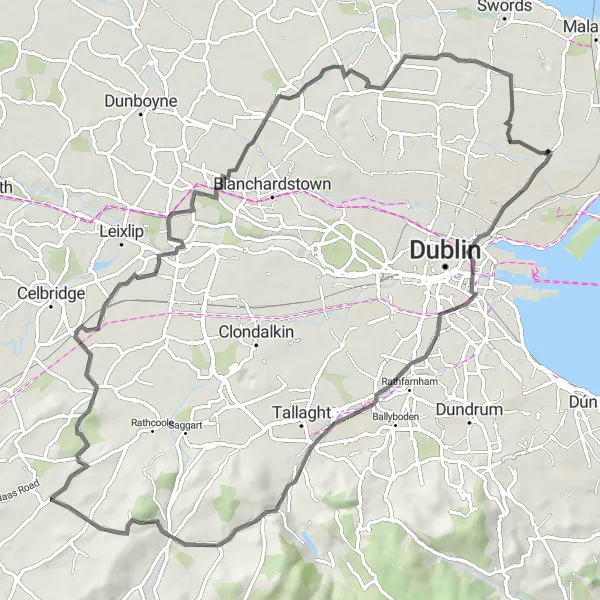
Santry and Ballyboughal Loop
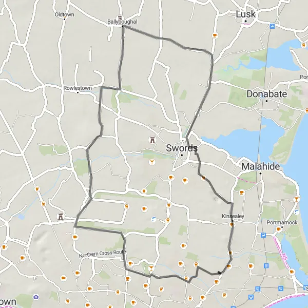
A scenic route through Santry and Ballyboughal
This route takes you through the beautiful areas of Santry and Ballyboughal, offering stunning views along the way. With a moderate ascent of 156m, this 44km road cycling route is suitable for well-trained amateurs. It provides a balance of challenge and enjoyment, offering riders a memorable experience. The highlights along the route include the charming village of Ballyboughal and the vibrant neighborhood of Santry.
Gems of Gravel
Discover hidden gems and scenic beauty on this gravel adventure near Darndale
Embark on an off-road cycling expedition with the Gems of Gravel route. This 73-kilometer long route, perfect for gravel biking enthusiasts, offers a wonderful mix of natural beauty and cultural attractions. With a moderate ascent of 697 meters, this route provides an exciting challenge suitable for adventurous cyclists.
Cycling routes nearby:

Nearby regions: