Combining urban cycling with scenic countryside routes near Dublin.
Cycling routes from Drumcondra
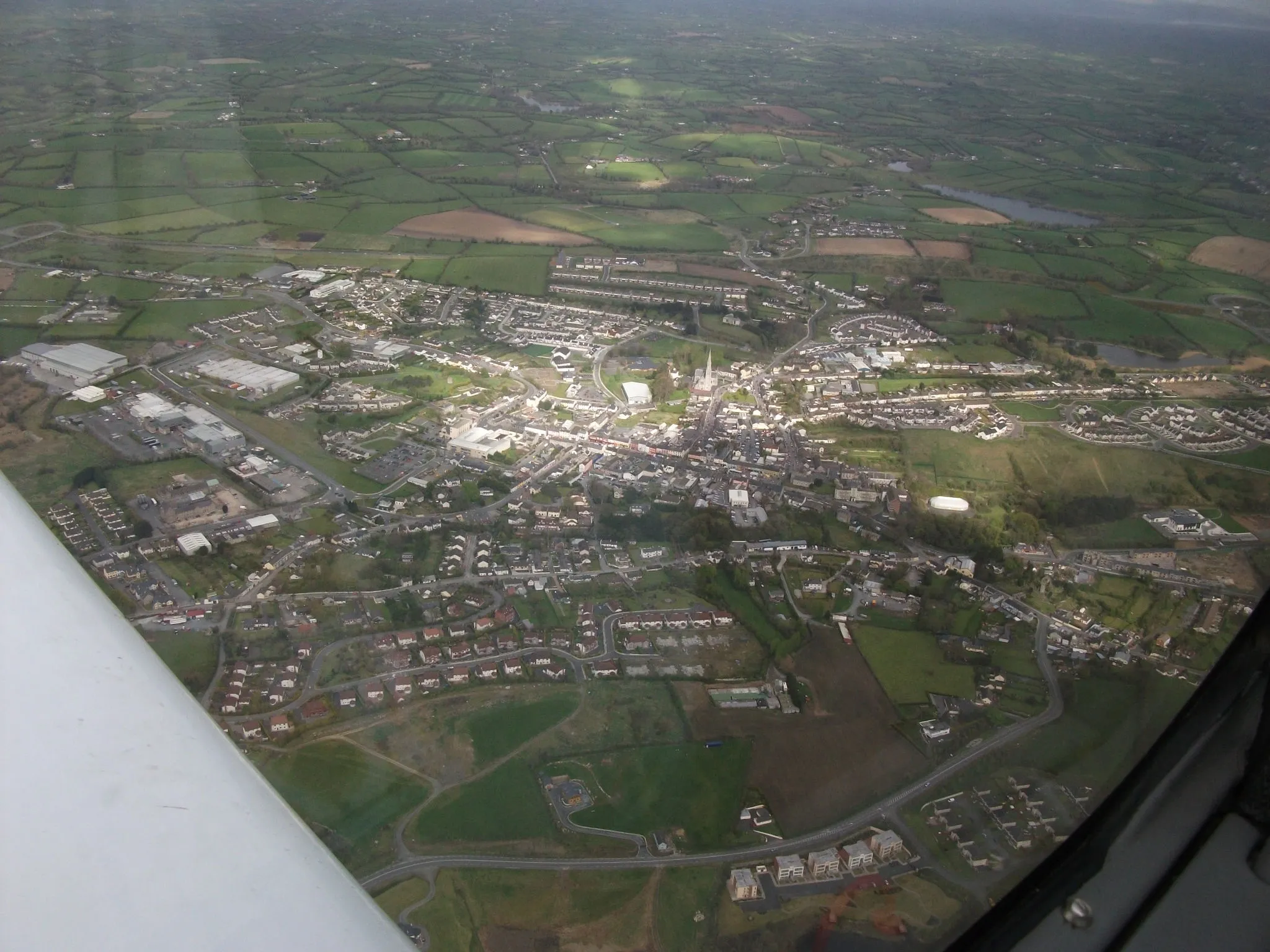
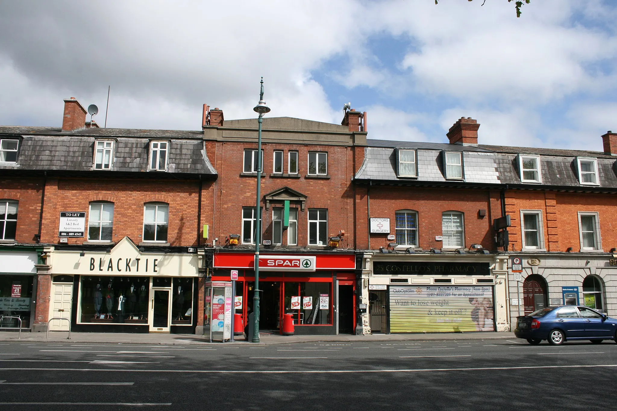
Drumcondra, located in the Eastern and Midland region of Ireland, offers a mix of urban and rural cycling opportunities. Cyclists can enjoy road cycling within the city, with options to explore nearby scenic routes. Notable cycling spots include the Phoenix Park, which offers a peaceful escape from the bustling streets. Drumcondra also provides easy access to the Royal Canal Greenway, a popular cycling trail that spans picturesque countryside. With its convenient location and diverse cycling routes, Drumcondra is a cyclist-friendly locality worth exploring.
Embark on an epic road adventure from Dublin to Wicklow and enjoy incredible scenic landscapes
Experience the ultimate road cycling adventure from Dublin to Wicklow. This challenging route is ideal for well-trained amateur cyclists looking to push their limits. With a distance of 94km and an ascent of 1124m, this route offers breathtaking views and iconic landmarks. From the Ericsson Skyline to the historic Dublin Castle, this route provides an unforgettable cycling experience.
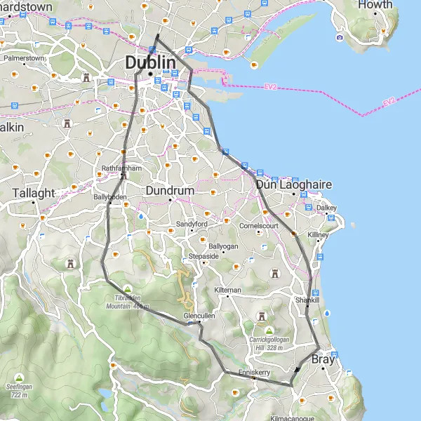
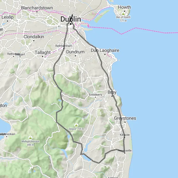
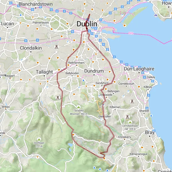
A challenging road ride with stunning natural scenery
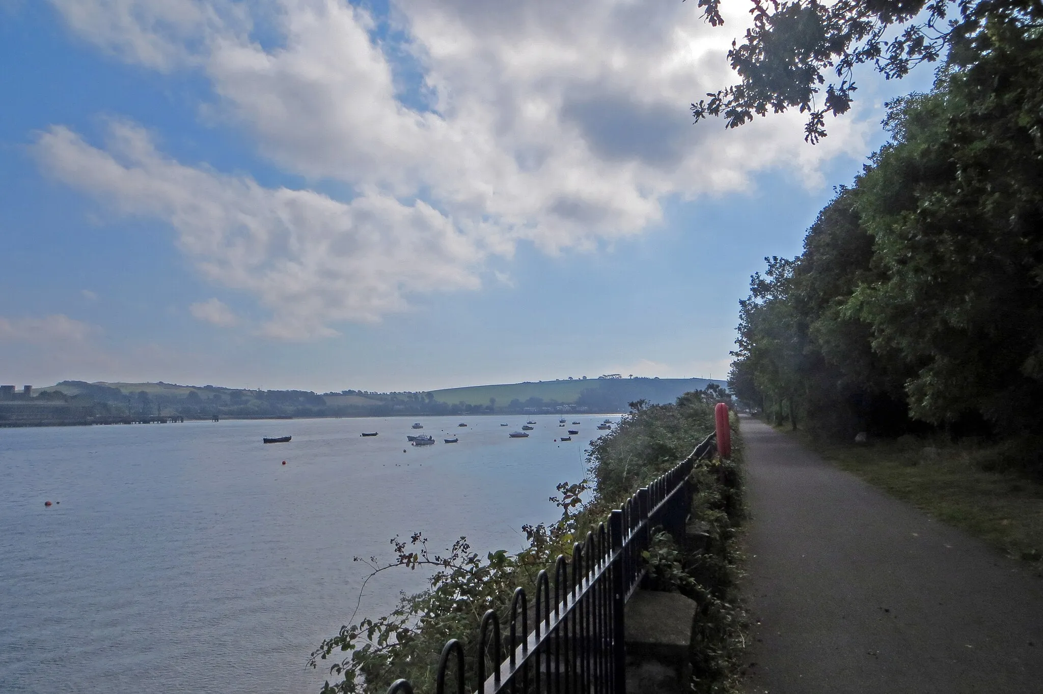
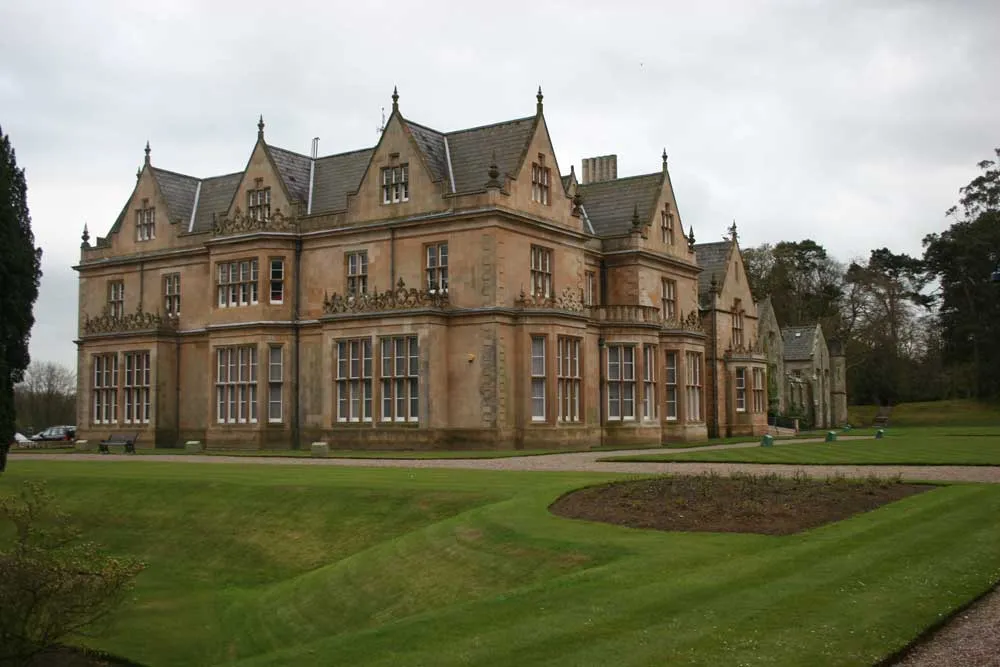
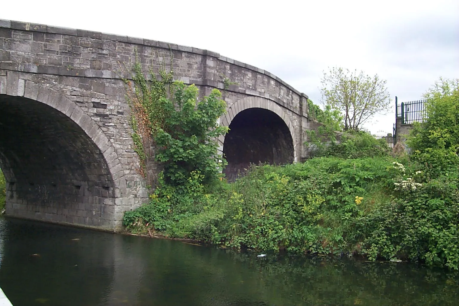
This road loop starting near Drumcondra takes you through scenic landscapes and popular tourist spots along a 55km route. The ride includes a 562m ascent and is suitable for road bikes. Notable highlights along the route include a former swimming area, Blackrock, Enniskerry, Tibradden Mountain, Rathfarnham, and Dublin. The route offers a mix of challenging climbs and beautiful views, making it a great choice for experienced cyclists.
A scenic route with historical highlights
The Drumcondra Loop is a 70 km road cycling route starting near Drumcondra, Ireland. This route offers scenic views and several historical highlights along the way. Cyclists will experience an ascent of 224 meters and cover a distance of 70 kilometers. The route is suitable for both road and gravel bikes, making it a versatile option for all types of cyclists. Overall, the Drumcondra Loop provides a memorable and enjoyable cycling experience.
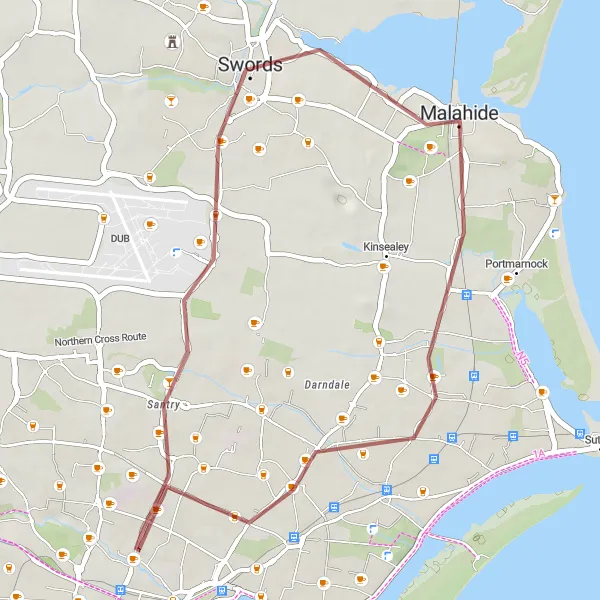
Cycle through scenic countryside and charming villages on this picturesque gravel loop
Experience the beauty of the countryside and delight in the charming villages along this picturesque gravel loop from Swords to Howth. With a moderate difficulty level, this route covers a distance of 31km with an ascent of 124m. Explore the former swimming area and immerse yourself in the history and culture of these scenic locations.
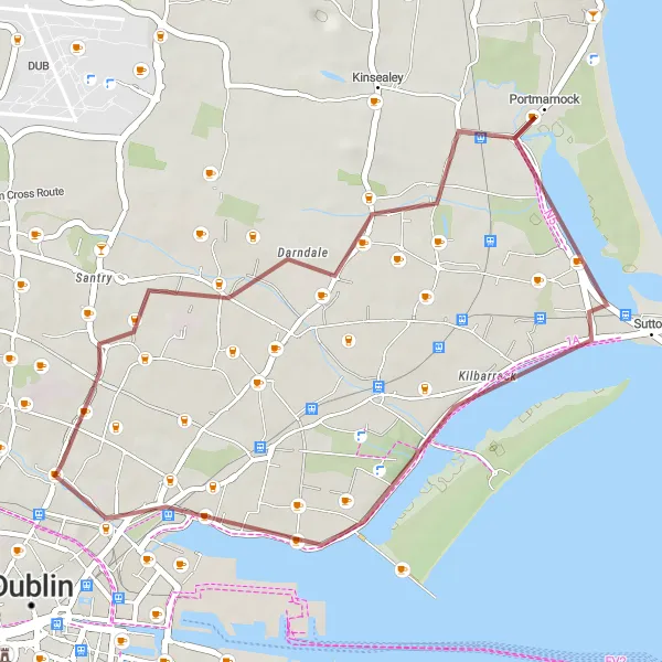
Discover the beautiful coastal scenery on this circular gravel route starting near Drumcondra
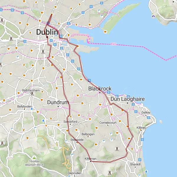
Experience stunning coastal views and visit historic swimming areas along this scenic circular gravel route. With a moderate difficulty level, this route offers a great adventure for amateur cyclists. Discover the fascinating history of Portmarnock and enjoy the tranquil atmosphere of Clontarf. The route covers a distance of 27km with an ascent of 55m.
An off-road adventure with historical highlights
The Gravel Adventure is a 61 km gravel cycling route starting near Drumcondra, Ireland. This off-road adventure offers a mix of stunning scenery and historical highlights. Cyclists will tackle an ascent of 864 meters while enjoying diverse landscapes and viewpoints. Highlights along the route include the intriguing Book of Kells and Dublin Castle. The Gravel Adventure is tailored for those seeking an alternative and adventurous cycling experience in the Eastern and Midland region. Overall, this route provides an exciting and immersive way to explore the Irish countryside on two wheels.
A challenging road cycling route starting near Drumcondra with the iconic Ericsson Skyline as the highlight.
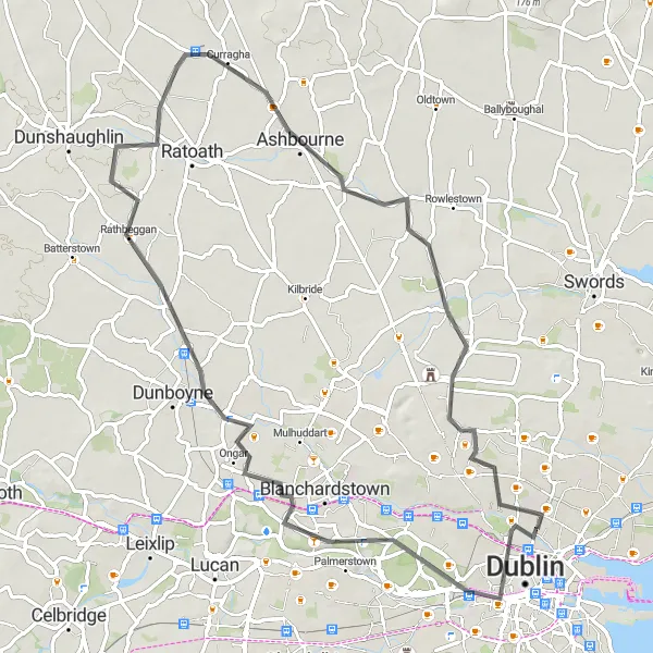
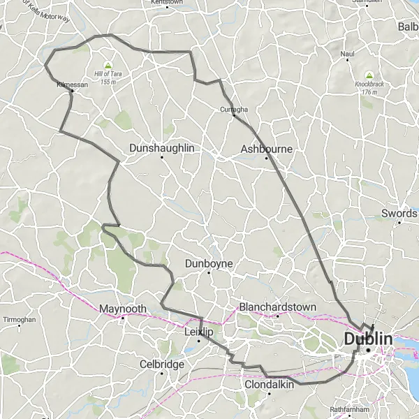
This route offers a challenging ride starting near Drumcondra and includes the iconic Ericsson Skyline as its highlight. With a distance of 109 kilometers and an ascent of 441 meters, this route is suitable for very well-trained amateurs. The epicness of the ride is rated as 4, making it a memorable experience for any cycling enthusiast. Cyclists can enjoy the scenic landscapes of Leixlip, Kilcloon, and Skreen Castle along the route.
A challenging route with stunning views
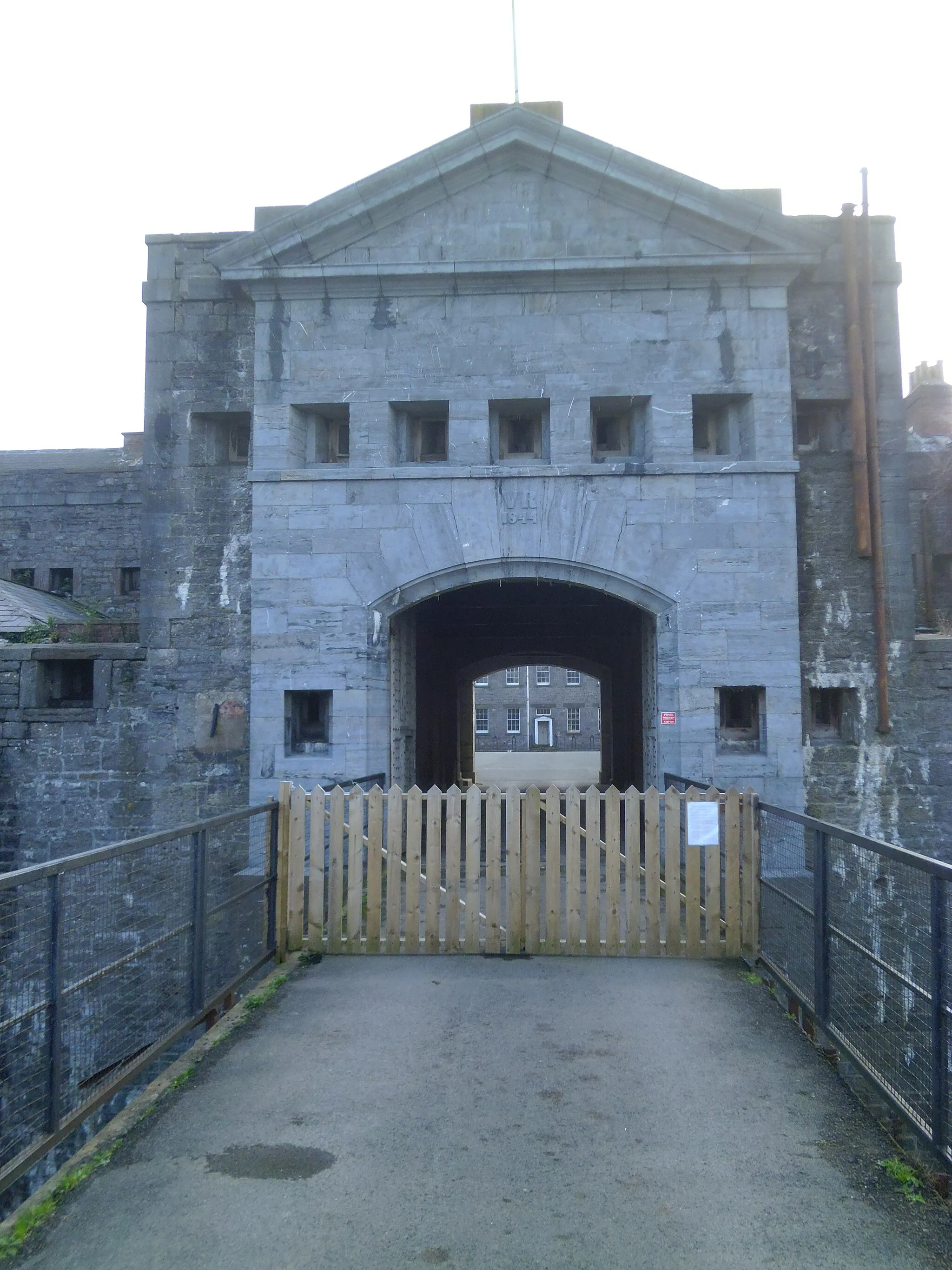
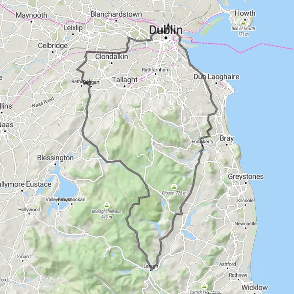
The Dublin Hills Challenge is a challenging road cycling route starting near Drumcondra, Ireland. With an ascent of 1,283 meters and a distance of 120 kilometers, this route is recommended for well-trained amateur cyclists seeking a physical and mental challenge. The route offers breathtaking views of the Dublin Hills and passes through scenic areas such as Blackrock and Enniskerry. Cyclists will also encounter cultural highlights along the way, including the infamous Kilmainham Gaol. Overall, the Dublin Hills Challenge provides an epic and unforgettable cycling experience for enthusiasts looking for a demanding adventure.
A scenic gravel route that passes through notable landmarks
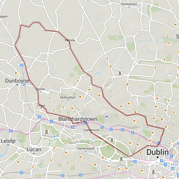
This gravel loop starting near Drumcondra takes you through a picturesque route that includes the Ericsson Skyline, Castleknock, Ongar, Kilbride, and Finglas. The route covers a distance of 48km with an ascent of 124m. It is suitable for gravel bikes and offers a unique biking experience in the Eastern and Midland region of Ireland.
Challenge yourself with an adventurous gravel route through the Dublin Mountains
Embark on a challenging gravel adventure through the Dublin Mountains. This route is perfect for experienced cyclists looking for an epic challenge. With an ascent of 259m and a distance of 43km, this demanding route offers breathtaking views and thrilling descents. From the Ericsson Skyline to the picturesque Milltown, every highlight along the way will take your breath away.
Cycling routes nearby:

Nearby regions: