Drumcondra Loop
A road cycling route starting from Drumcondra
A scenic route with historical highlights
Map
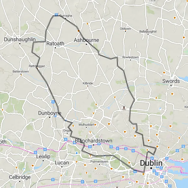
The Drumcondra Loop is a 70 km road cycling route starting near Drumcondra, Ireland. This route offers scenic views and several historical highlights along the way. Cyclists will experience an ascent of 224 meters and cover a distance of 70 kilometers. The route is suitable for both road and gravel bikes, making it a versatile option for all types of cyclists. Overall, the Drumcondra Loop provides a memorable and enjoyable cycling experience.
road
70 km
224 m
Tough
Route profile
Highlights on the route
0 km
0 km
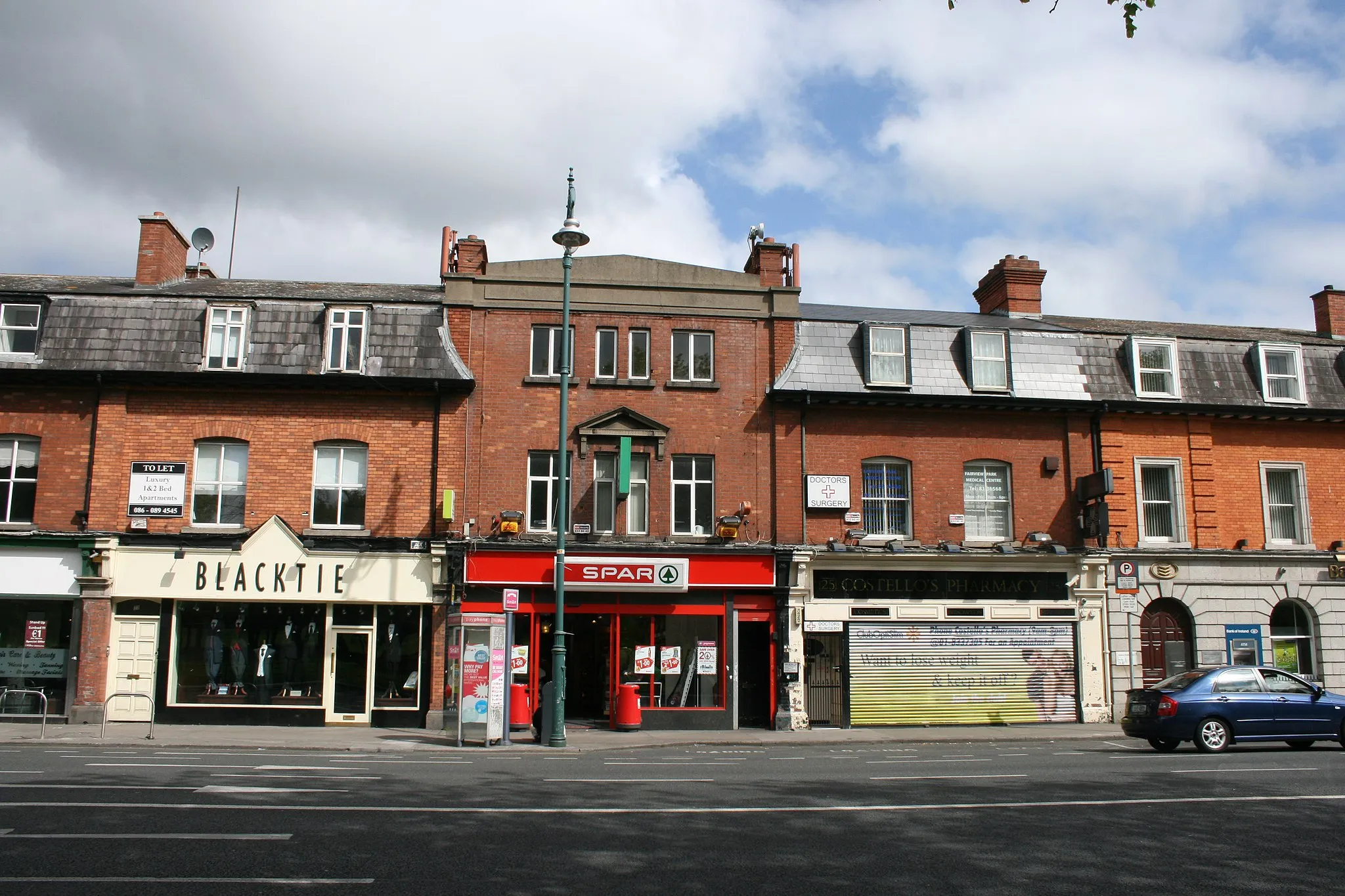
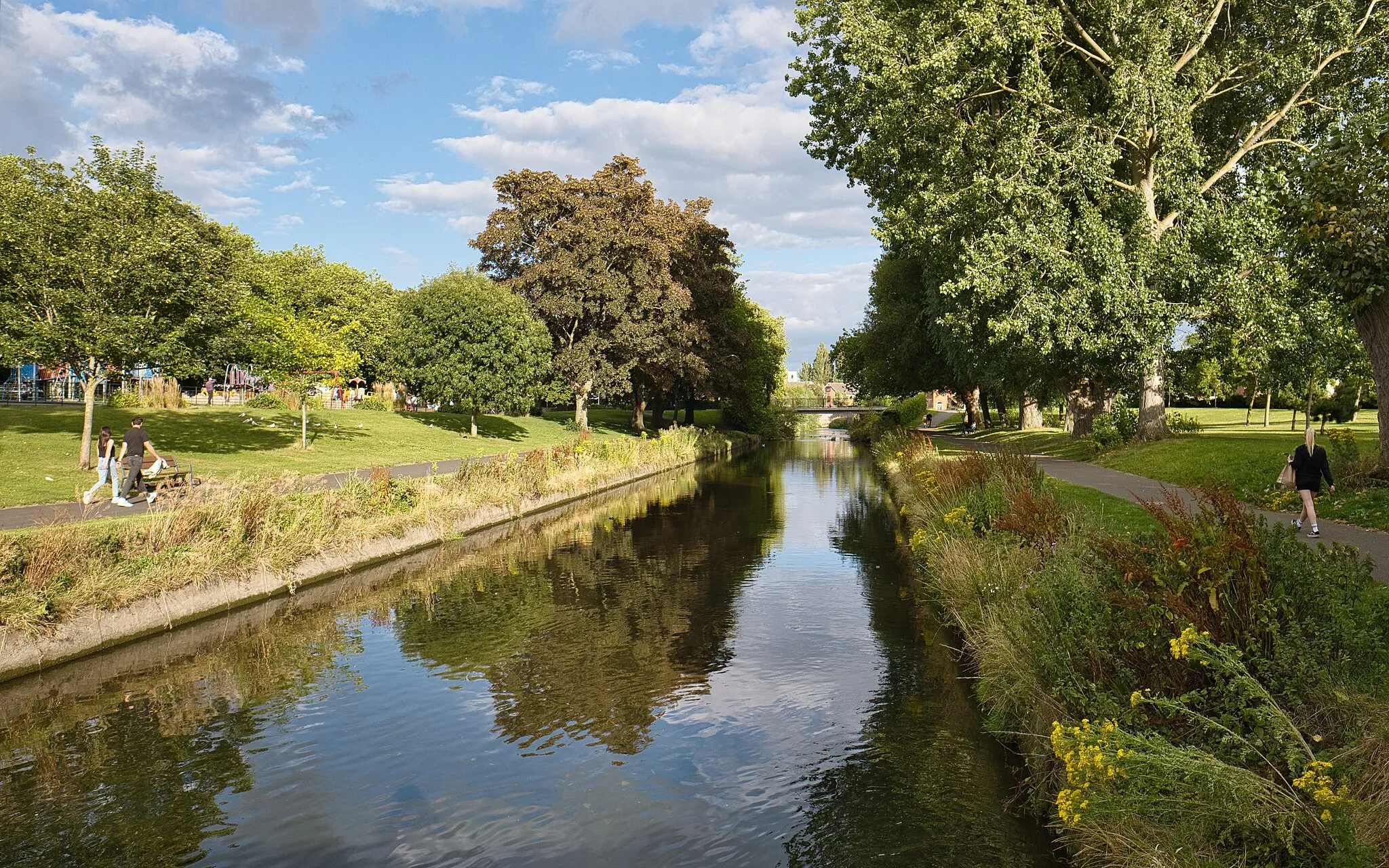
Start: Locality centerDrumcondra: Combining urban cycling with scenic countryside routes near Dublin.
Drumcondra, located in the Eastern and Midland region of Ireland, offers a mix of urban and rural cycling opportunities. Cyclists can enjoy road cycling within the city, with options to explore nearby scenic routes. Notable cycling spots include the Phoenix Park, which offers a peaceful escape from the bustling streets. Drumcondra also provides easy access to the Royal Canal Greenway, a popular cycling trail that spans picturesque countryside. With its convenient location and diverse cycling routes, Drumcondra is a cyclist-friendly locality worth exploring.0 km
0 km
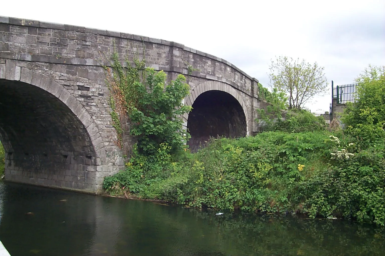
Former swimming areaViewpointFormer swimming area - A peaceful spot that used to be a popular swimming spot in the past.
11 km
11 km
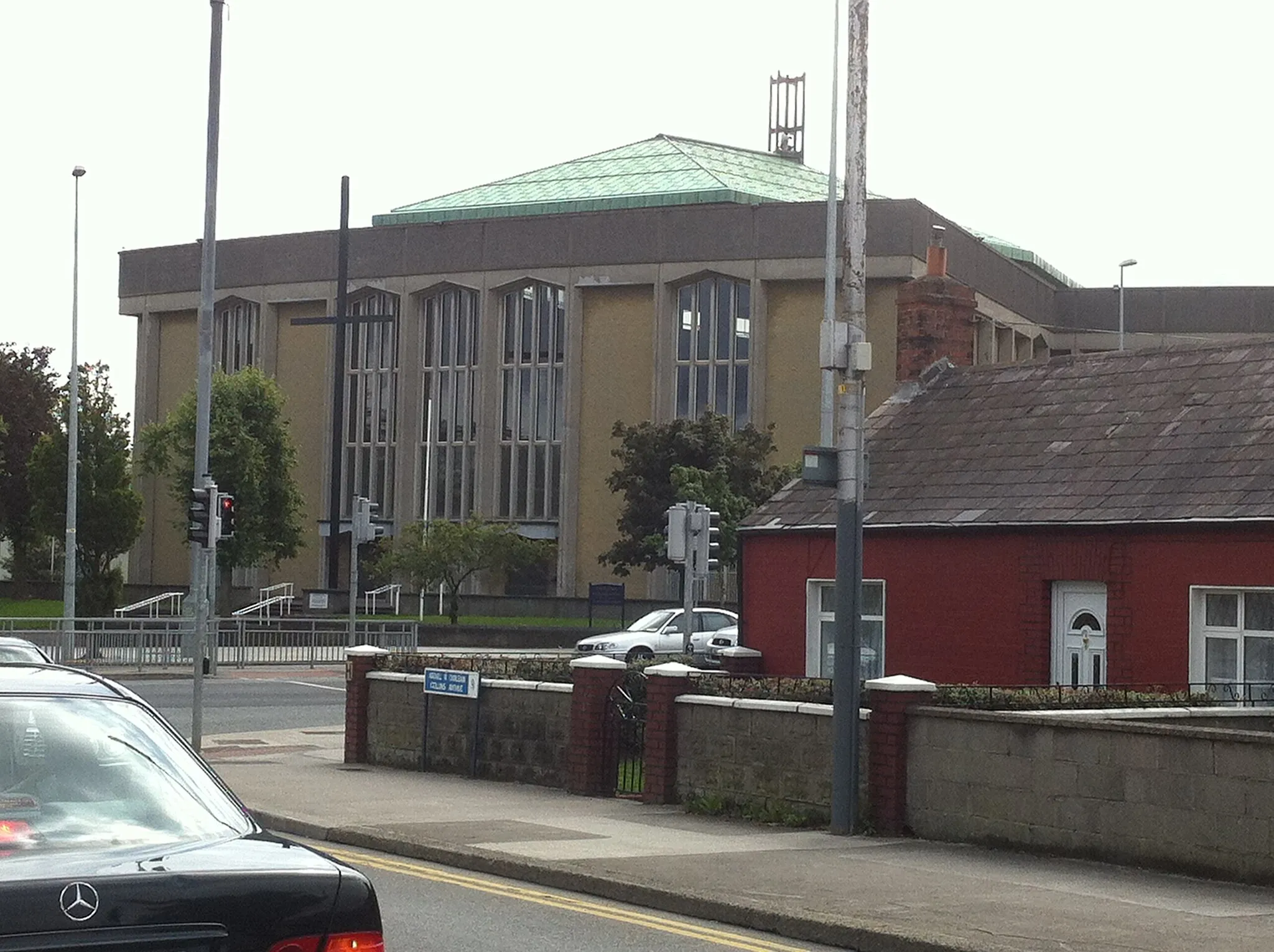
CastleknockVillageCastleknock - Visit the historic Castleknock village and explore its charming streets and shops.
18 km
18 km
OngarVillageOngar - Ride through the scenic countryside and pass through the picturesque village of Ongar.
46 km
46 km
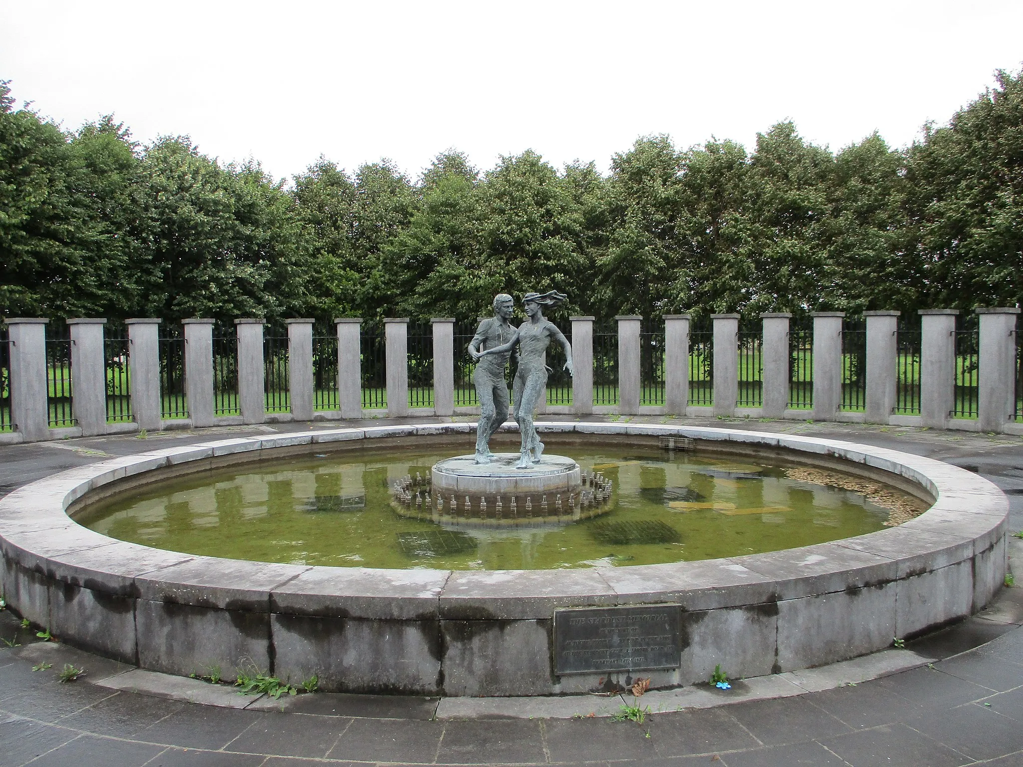
AshbourneTownAshbourne - Discover the vibrant town of Ashbourne and take a break at one of its local cafes or pubs.
65 km
65 km
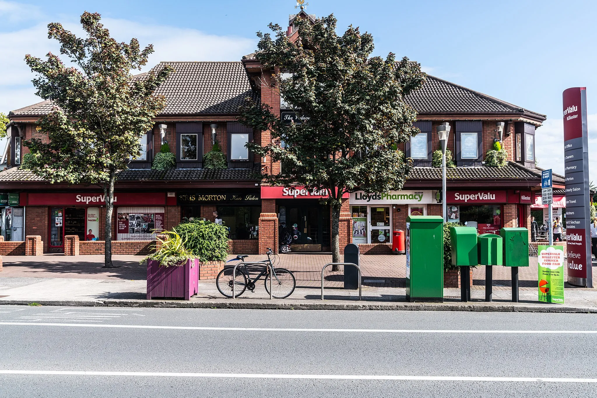
FinglasSub-urbFinglas - Explore the suburban area of Finglas and enjoy the tranquil surroundings.
70 km
70 km
Finish: Locality centerDrumcondra: Combining urban cycling with scenic countryside routes near Dublin.
Cycling routes from Drumcondra:
Portmarnock Circular Gravel Route The Ericsson Skyline Swords to Howth Gravel Loop Drumcondra Loop Dublin Bay Gravel Adventure Dublin to Wicklow Road Adventure Dublin Hills Challenge Gravel Adventure Dublin Mountains Gravel Challenge Coastal Delight Drumcondra to Enniskerry Road Loop Drumcondra to Finglas Gravel Loop
Cycling routes nearby: