The Tara Triangle
A road cycling route starting from Kinnegad
Discover hidden treasures as you conquer Tara
Map
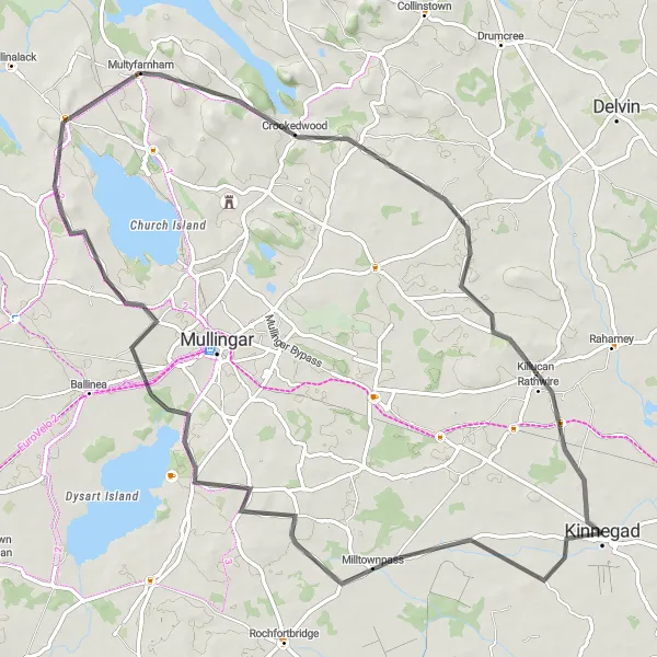
The Tara Triangle takes you on a captivating cycling adventure through fascinating landscapes and historical landmarks near Kinnegad. With a distance of 76 km and an ascent of 404 meters, this road cycling route offers a moderately challenging experience suitable for cycling enthusiasts. Prepare to be immersed in ancient history as you explore quaint villages, witness medieval ruins, and eventually conquer the iconic Hill of Tara.
road
76 km
404 m
Tough
Route profile
Highlights on the route
0 km
0 km
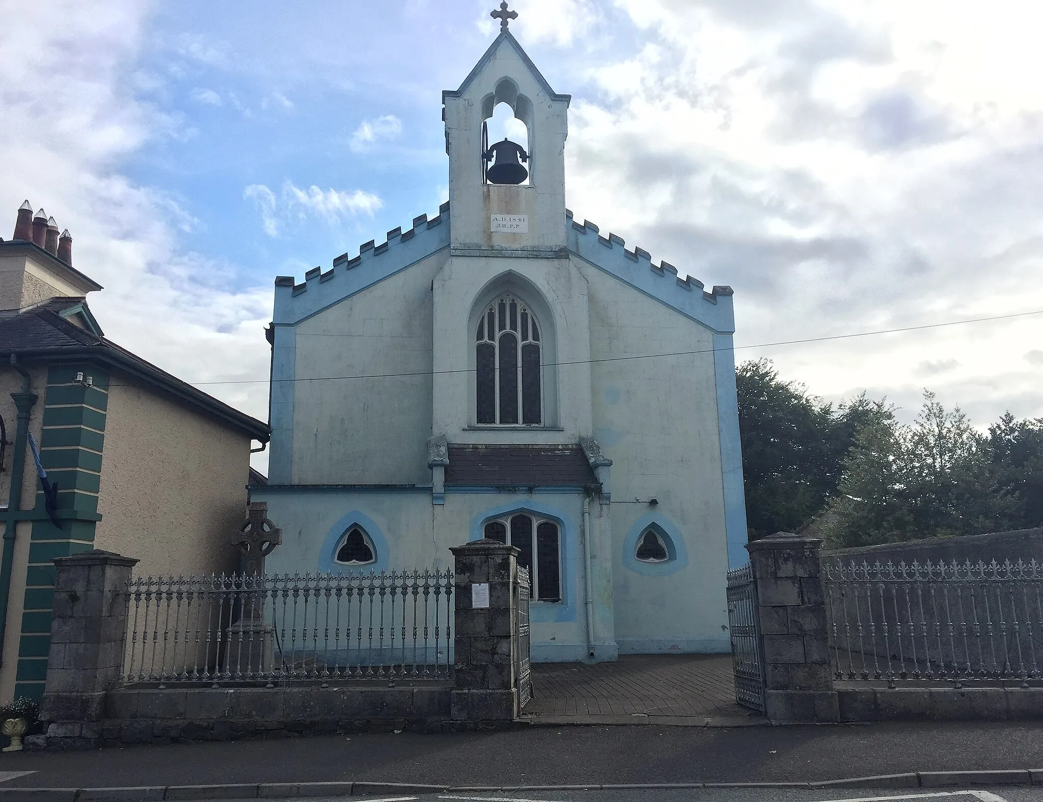
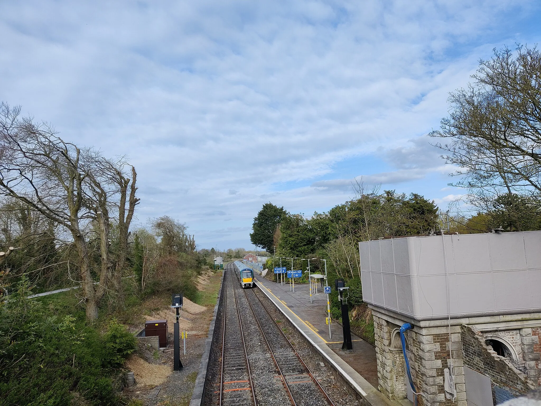
Start: Kinnegad City centerKinnegad: Experience the tranquility of rural cycling in Kinnegad, surrounded by lush green fields and picturesque roads.
Kinnegad is a small town located in the Eastern and Midland region of Ireland. From a cyclist's perspective, Kinnegad offers a mix of flat and rolling terrains, making it suitable for both leisurely rides and more challenging cycling sessions. The roads in Kinnegad are generally cyclist-friendly, with ample space for cyclists and light traffic. Surrounding the town, cyclists can admire the picturesque Irish countryside, characterized by green fields and serene rural roads. One notable cycling spot near Kinnegad is the Hill of Uisneach, renowned for its historical significance and scenic beauty. Overall, Kinnegad provides a pleasant cycling experience with its scenic landscapes and quiet roads.11 km
11 km
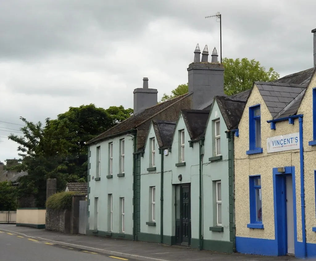
MilltownpassVillageApproximately 11 km into the route, Milltownpass unveils its charm. Witness the historic Milltownpass Canal Bridge and learn about its significance in the transportation of goods during the late 18th century.
24 km
24 km
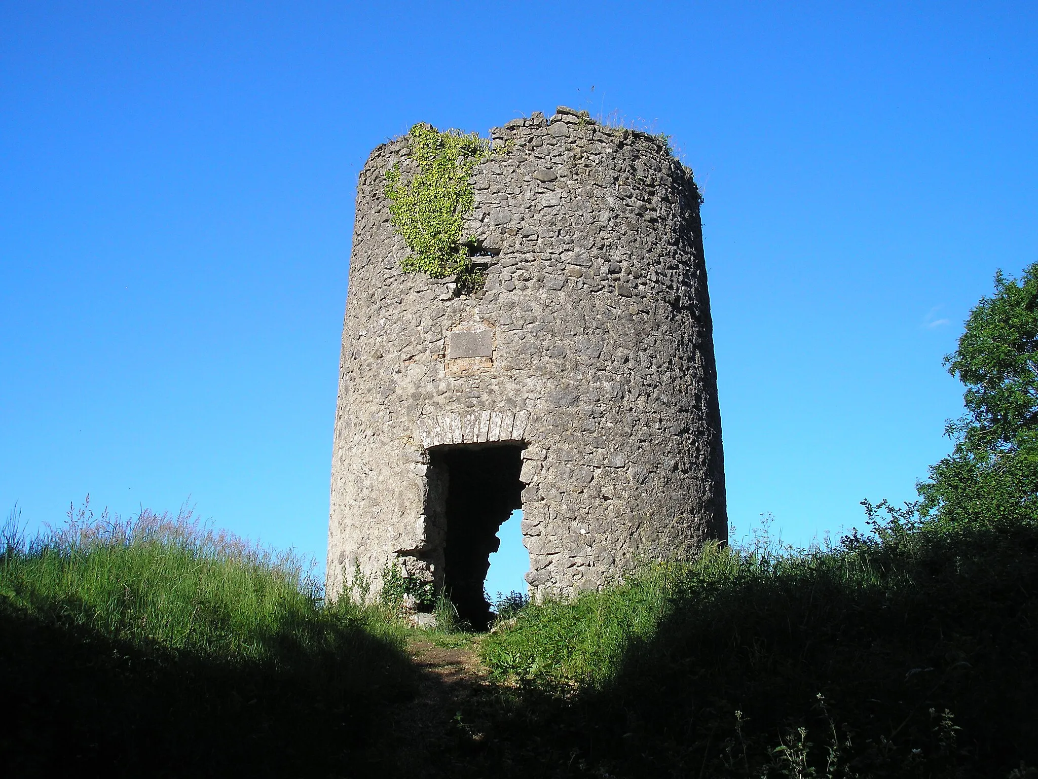
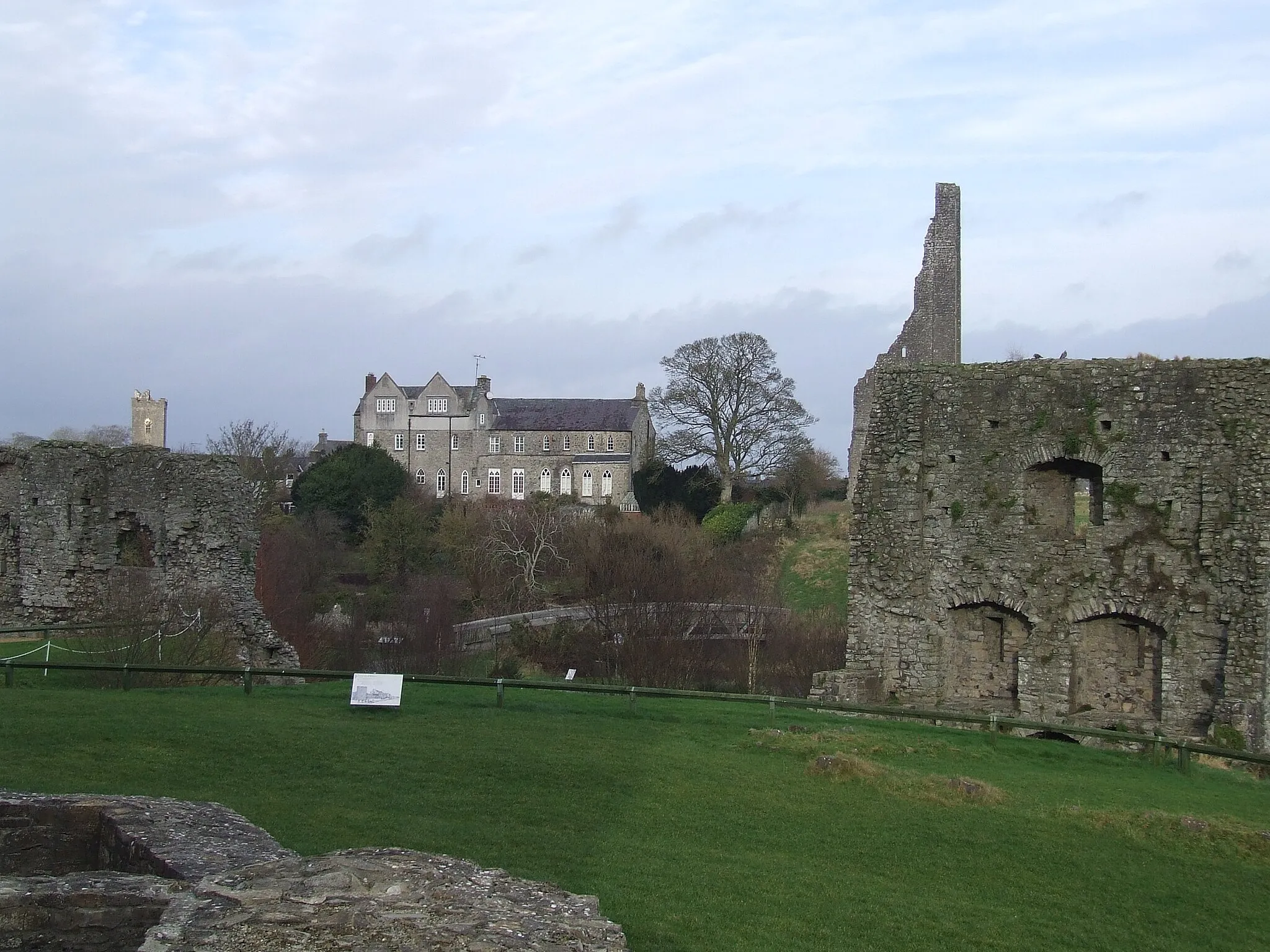
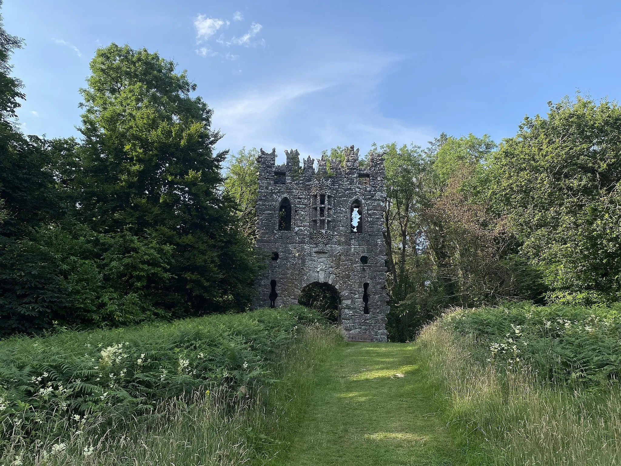
Ice HouseCastle RuinsAround the 24 km mark, Ice House offers a delightful stopover. Admire the architectural beauty of ancient icehouses, which served as refrigeration systems in the past.
52 km
52 km
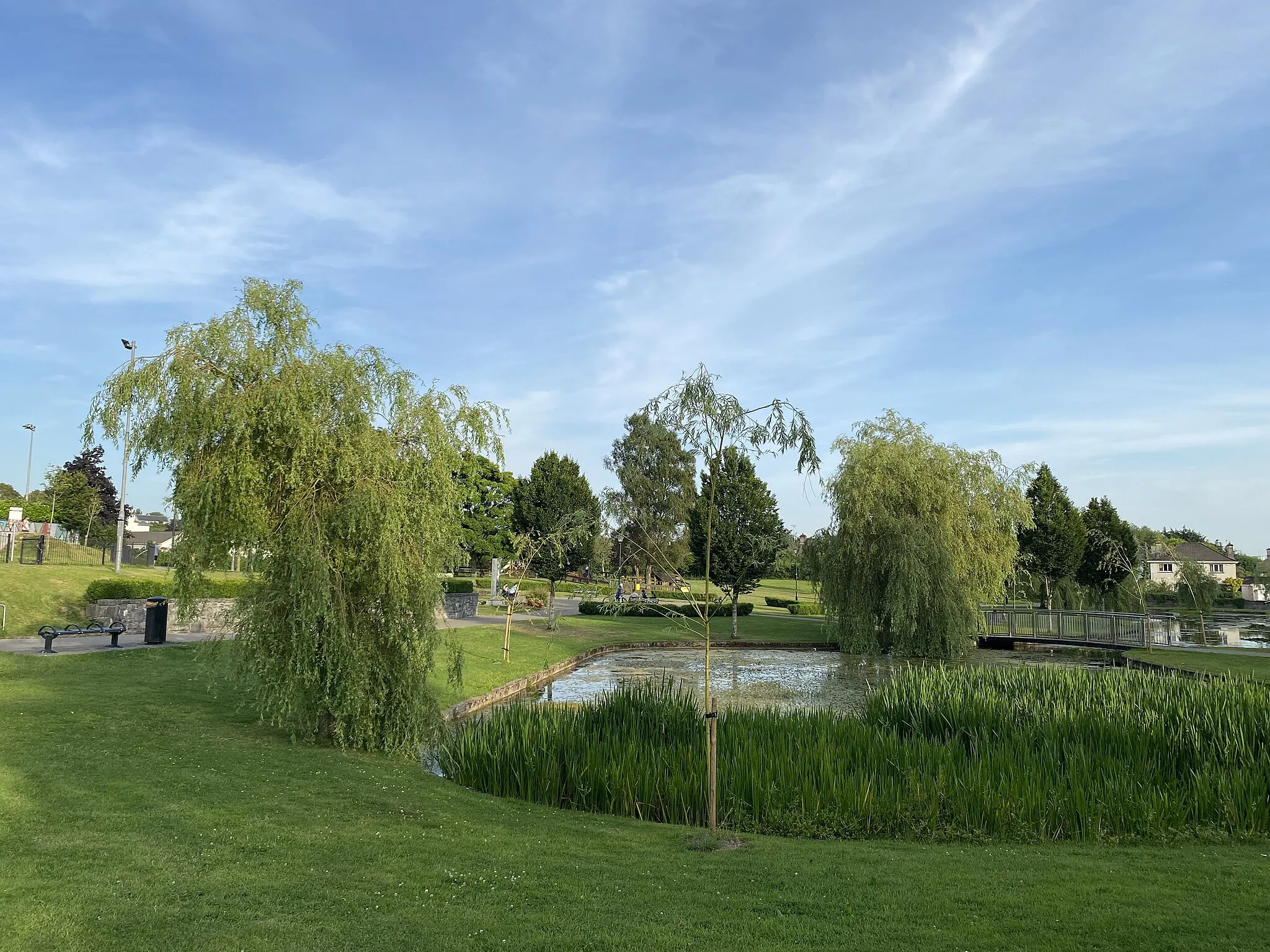
CrookedwoodVillageLocated around the 52 km point, Crookedwood provides a peaceful setting amidst stunning lakes and vibrant greens. Relax by the shores and connect with nature.
76 km
76 km
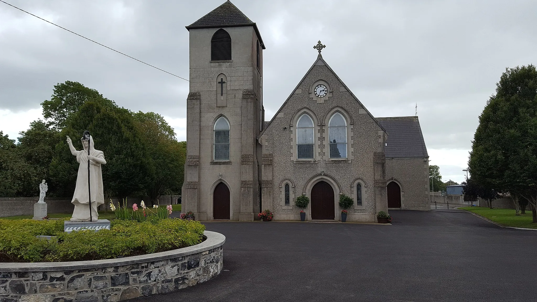
KinnegadTownReturning towards Kinnegad, make sure to appreciate the historical sites in Kinnegad, including the ruins of the ancient Franciscan Friary, witness to centuries of Irish history.
76 km
76 km
Finish: Kinnegad City centerKinnegad: Experience the tranquility of rural cycling in Kinnegad, surrounded by lush green fields and picturesque roads.
Cycling routes nearby: