Bray to Geographic Pointer Circular
A gravel cycling route starting from Monkstown
Gravel adventure through Wicklow's natural wonders
Map
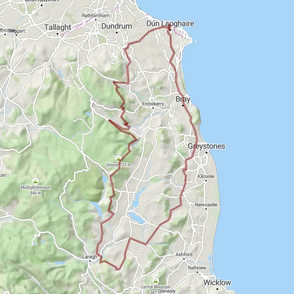
Embark on an epic gravel adventure through Wicklow's natural wonders, from the charming coastal town of Bray to the majestic peak of Geographic Pointer. With a total ascent of 1883 meters and a distance of 102 kilometers, this route provides a challenging journey for experienced cyclists. Highlights along the way include Bray, Newtown Mount Kennedy, Callowhill, Boot Hill, Djouce, Powerscourt Waterfall, Prince William's Seat, Glencullen, Leopardstown, and the Geographic Pointer. Each highlight offers unique attractions, ranging from panoramic views to cascading waterfalls.
gravel
102 km
1883 m
Savage
Route profile
Highlights on the route
0 km
0 km
Start: Dún Laoghaire City centerMonkstown: Coastal charm and scenic landscapes in Monkstown.
Monkstown, situated in the Eastern and Midland region of Ireland, offers a charming coastal setting for road and gravel cyclists. With its proximity to the scenic coastline, Monkstown provides cyclists with opportunities for relaxing rides along the coast or more challenging routes exploring the surrounding hills. While there are no famous cycling-related spots or well-known climbs in the immediate vicinity of Monkstown, the town's coastal charm and beautiful landscapes make it a delightful destination for cyclists seeking a mix of coastal and countryside cycling experiences.11 km
11 km
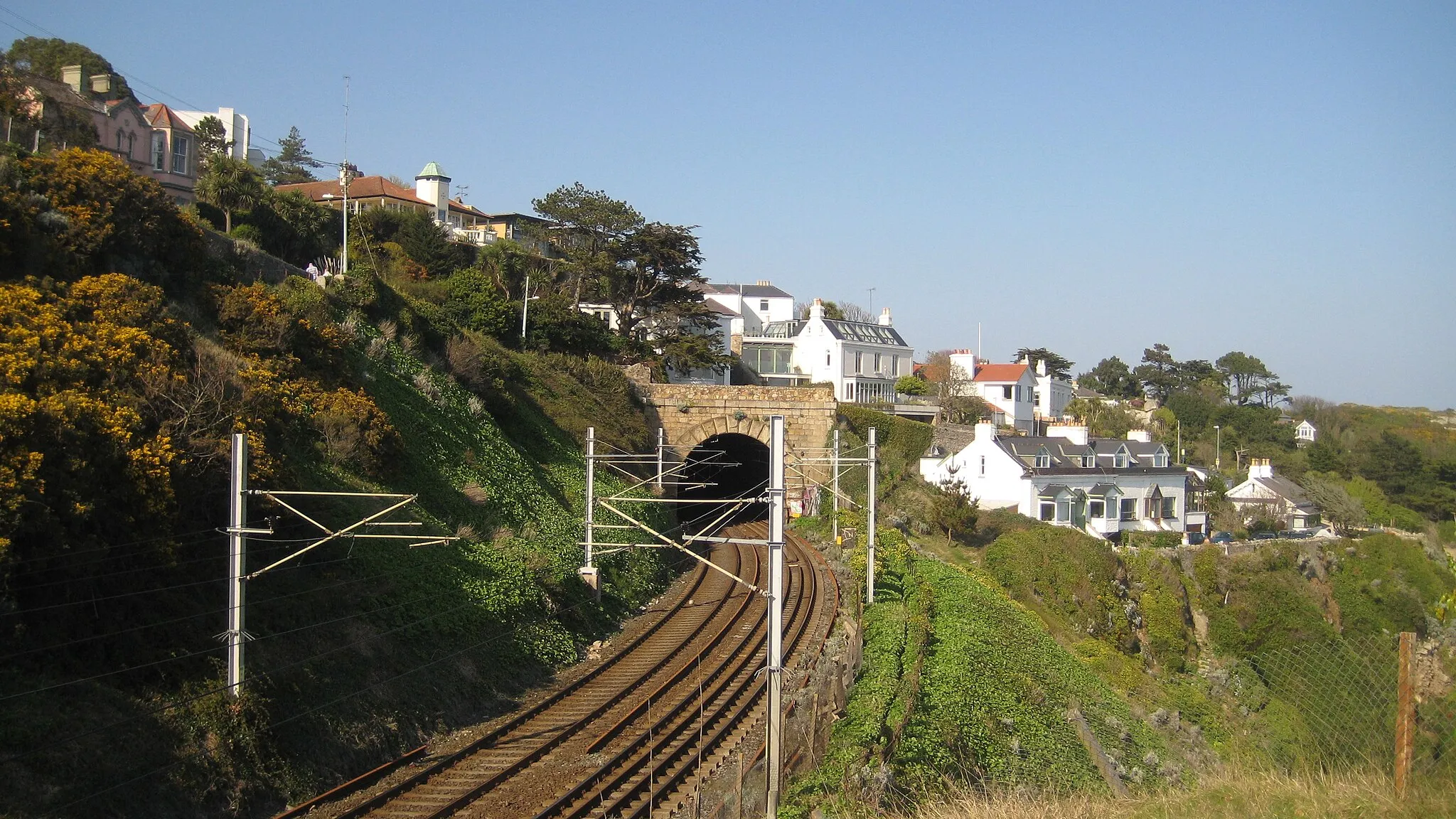
BrayTownBray is a charming coastal town with a lively promenade, beautiful seaside views, and vibrant cultural events.
27 km
27 km
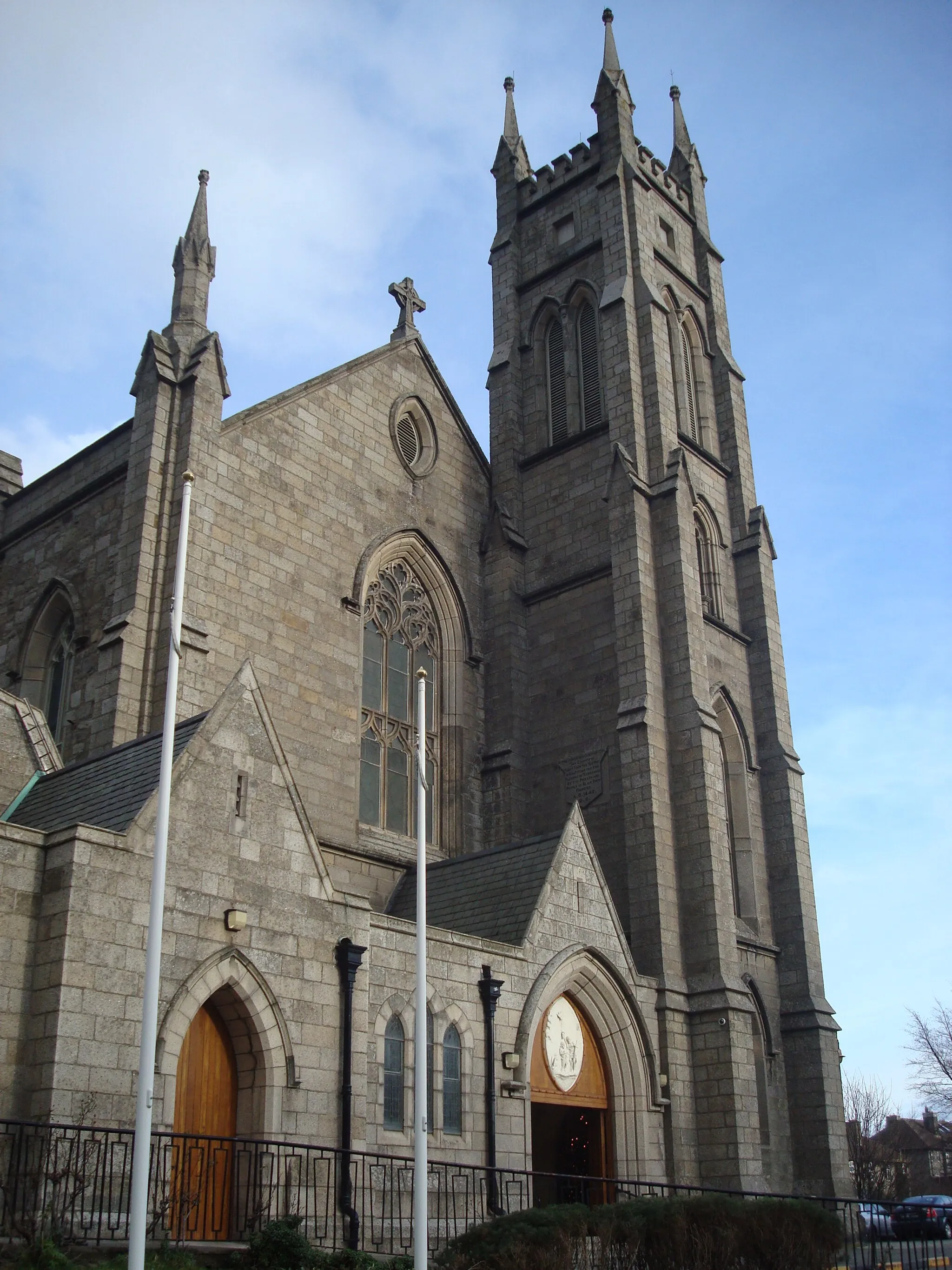
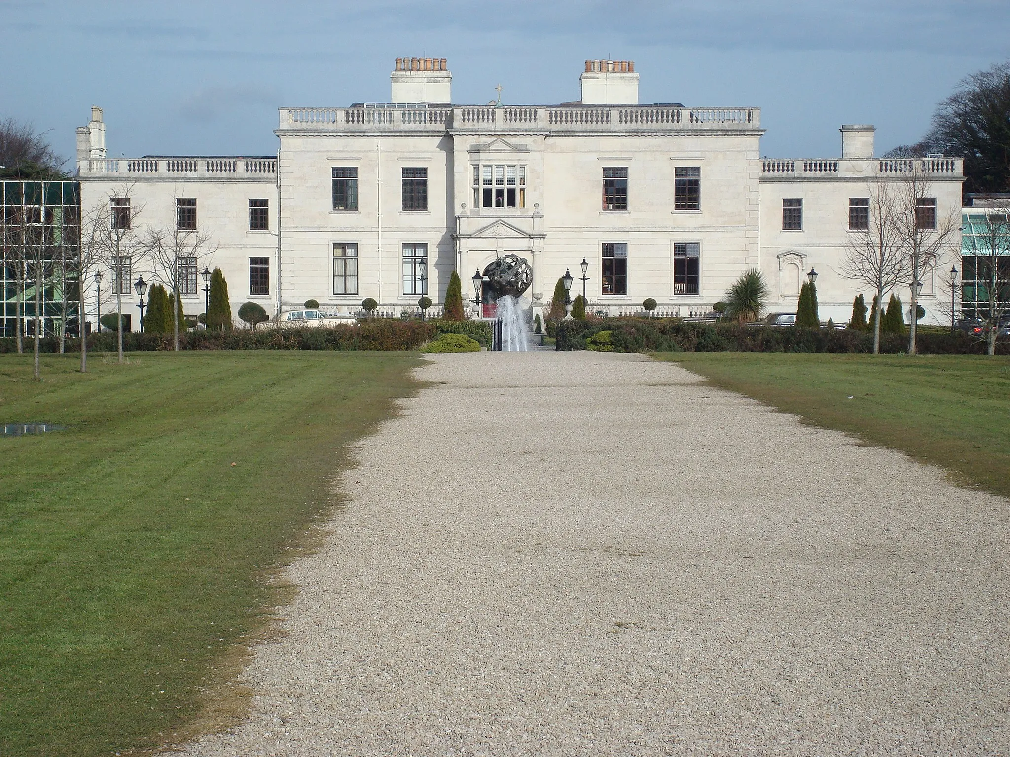
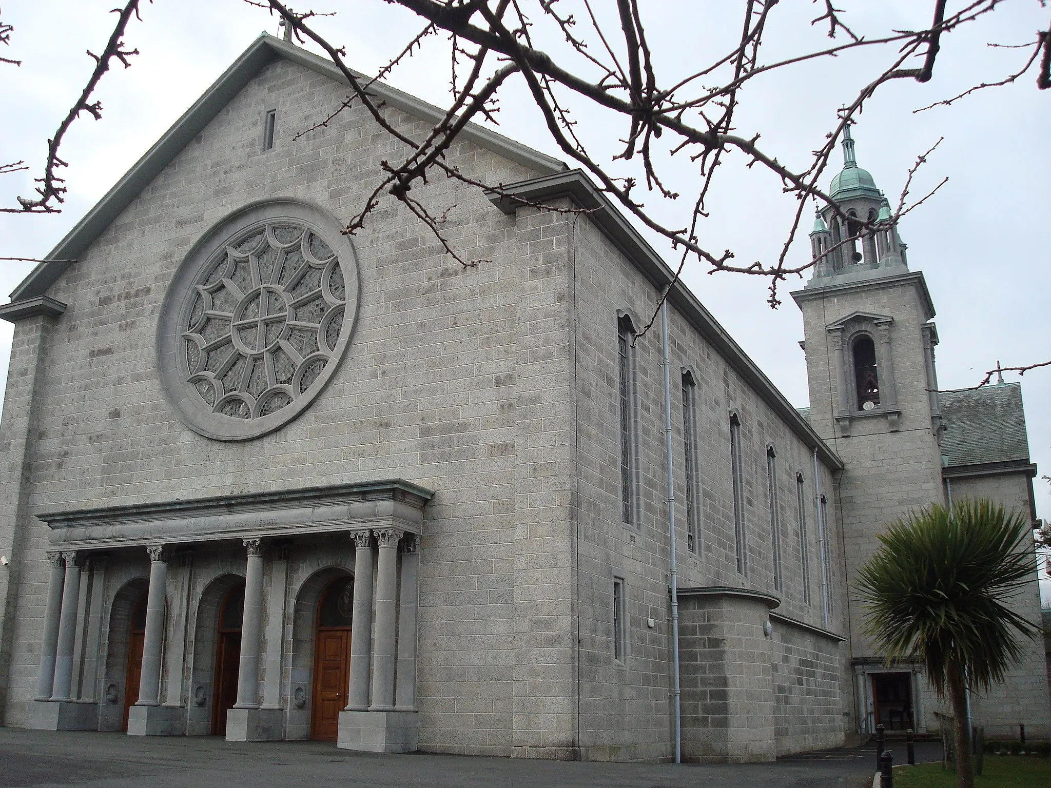
Newtown Mount KennedyVillageNewtown Mount Kennedy is a picturesque village with stunning Georgian architecture and enchanting gardens, perfect for relaxation.
31 km
31 km
Callowhill265 mPeakCallowhill is a tranquil village nestled in the heart of Wicklow's countryside, offering beautiful views and serene surroundings.
43 km
43 km
Boot Hill396 mPeakBoot Hill boasts breathtaking vistas of the Wicklow Mountains and is a favorite destination for adventurous cyclists.
64 km
64 km
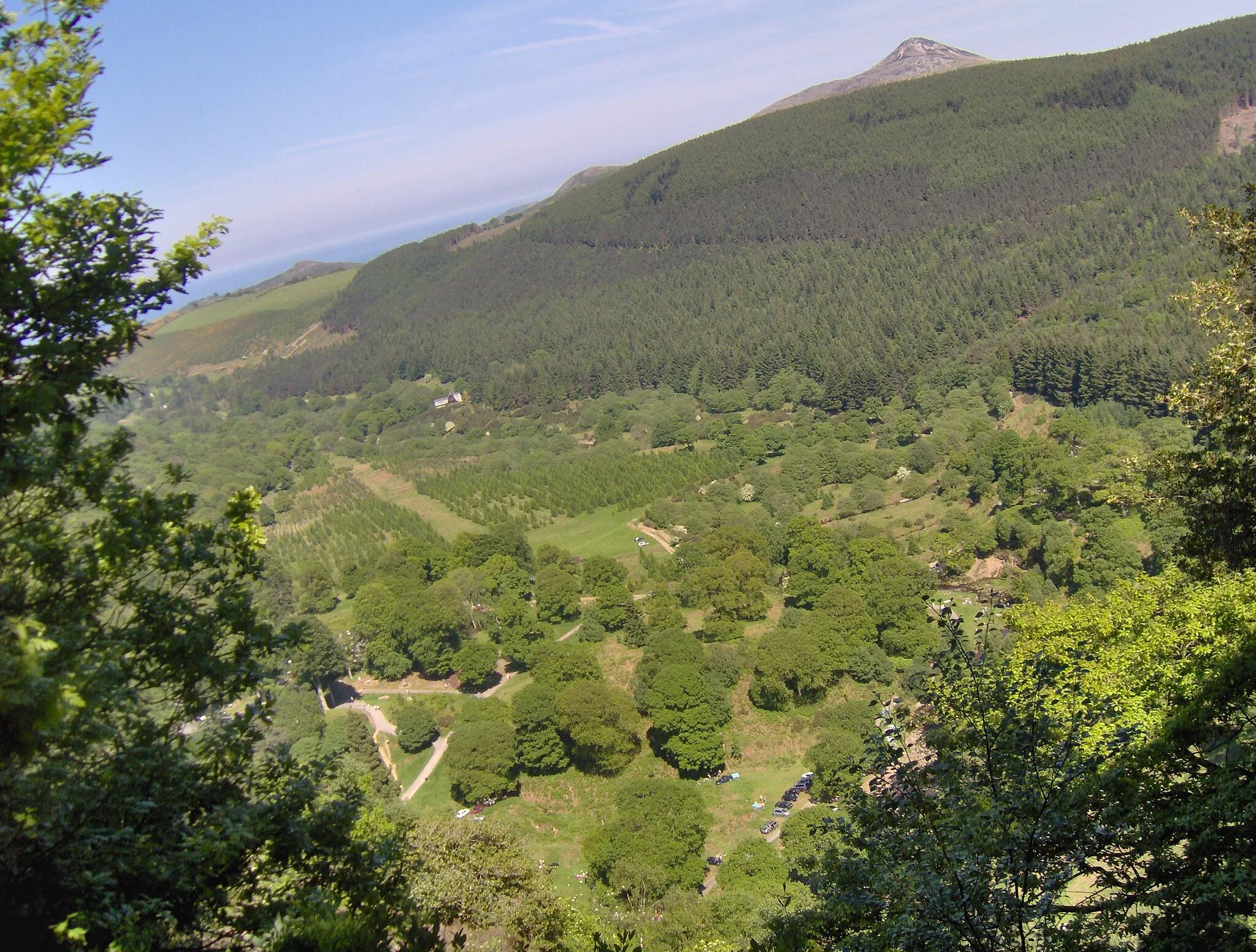
Djouce725 mPeakDjouce is a legendary mountain climb that challenges even the most seasoned cyclists, rewarding them with awe-inspiring views from the summit.
67 km
67 km
Powerscourt WaterfallWaterfallPowerscourt Waterfall is Ireland's highest waterfall, cascading down from a height of 121 meters and surrounded by picturesque woodlands.
83 km
83 km
Prince William's Seat553 mPeakPrince William's Seat offers panoramic views of Dublin City, Dublin Bay, and the surrounding Wicklow Mountains.
89 km
89 km
GlencullenVillageGlencullen is a scenic village located in the Dublin Mountains, with stunning viewpoints and a cozy pub serving traditional Irish fare.
97 km
97 km
LeopardstownSub-urbLeopardstown is known for its famous racecourse, where thrilling horse races take place throughout the year.
102 km
102 km
Geographic PointerViewpointThe Geographic Pointer is a peak located at the Wicklow and Dublin border, offering stunning views of both counties.
102 km
102 km
Finish: Dún Laoghaire City centerMonkstown: Coastal charm and scenic landscapes in Monkstown.
Cycling routes from Monkstown:
Dundrum to Booterstown Loop Monkstown to Bray Round Trip Monkstown to Tallaght Round Trip Monkstown to Dundrum Loop Rathmines to Booterstown Circular Firhouse to Merrion Circular Glencullen to Blackrock Circular Monkstown to Donnybrook Adventure Monkstown to Greystones Escape Bray to Geographic Pointer Circular
Cycling routes nearby: