Cycling Paradise in the Wicklow Mountains
Cycling routes from Rathcoole
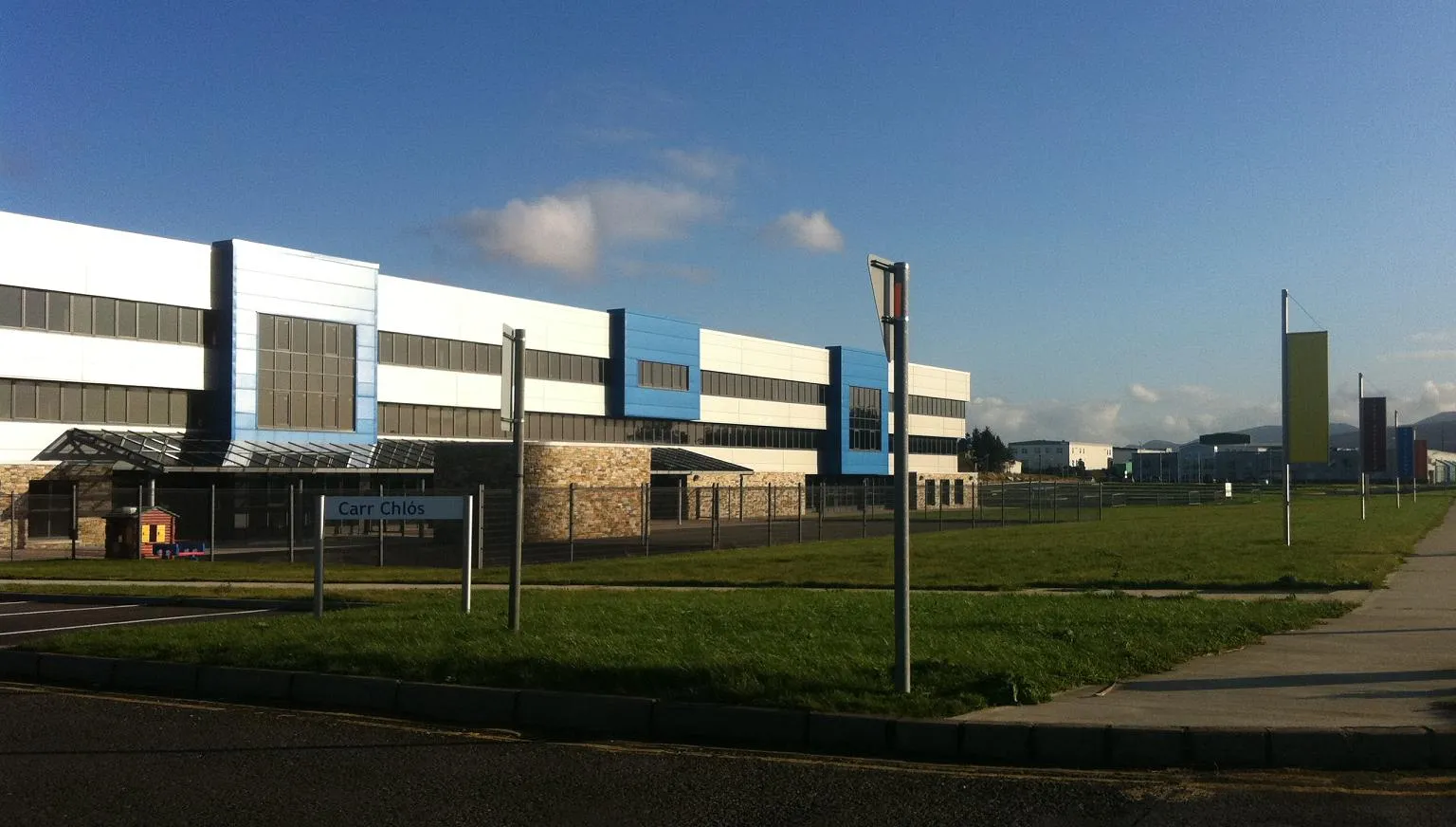
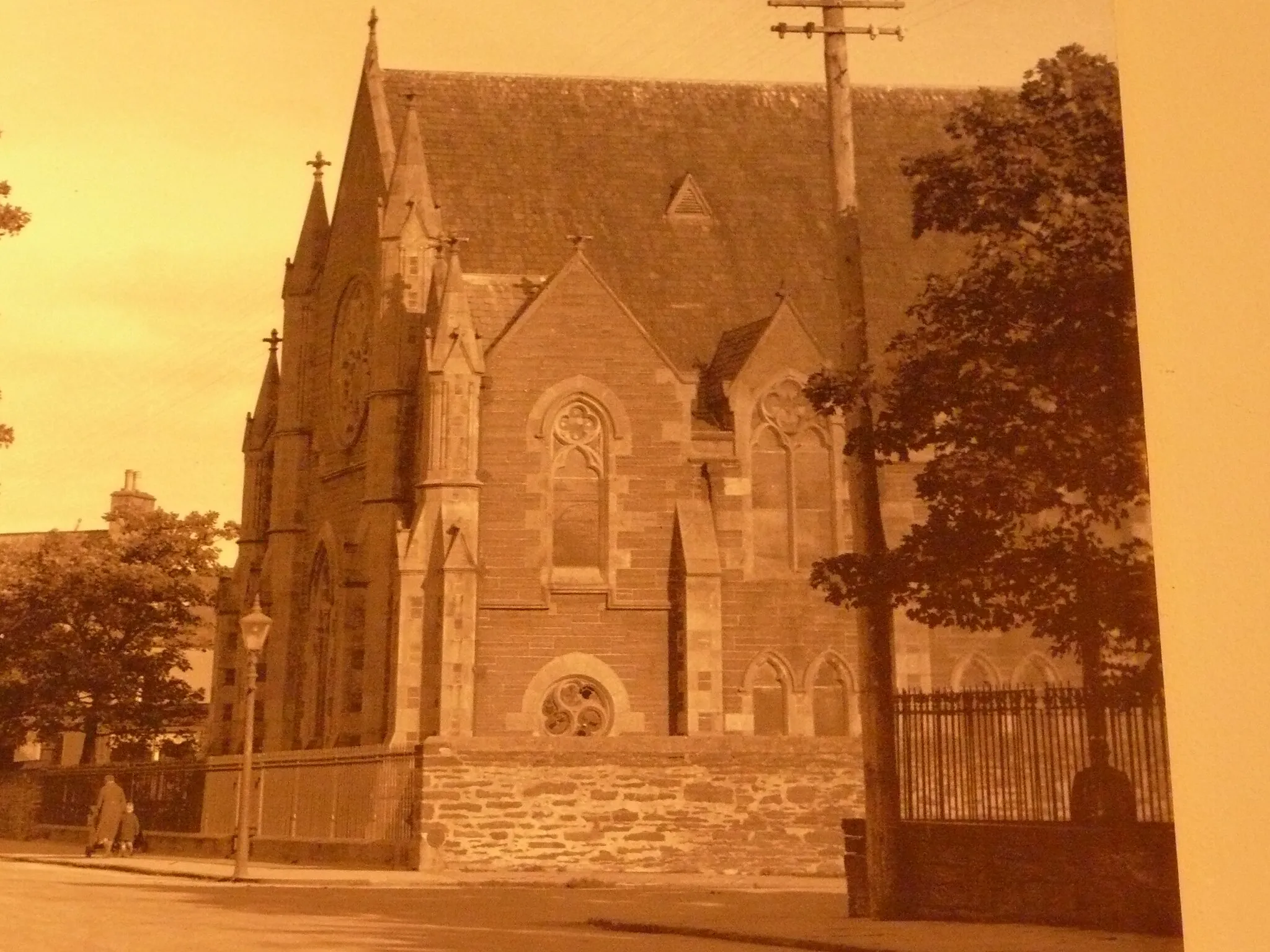
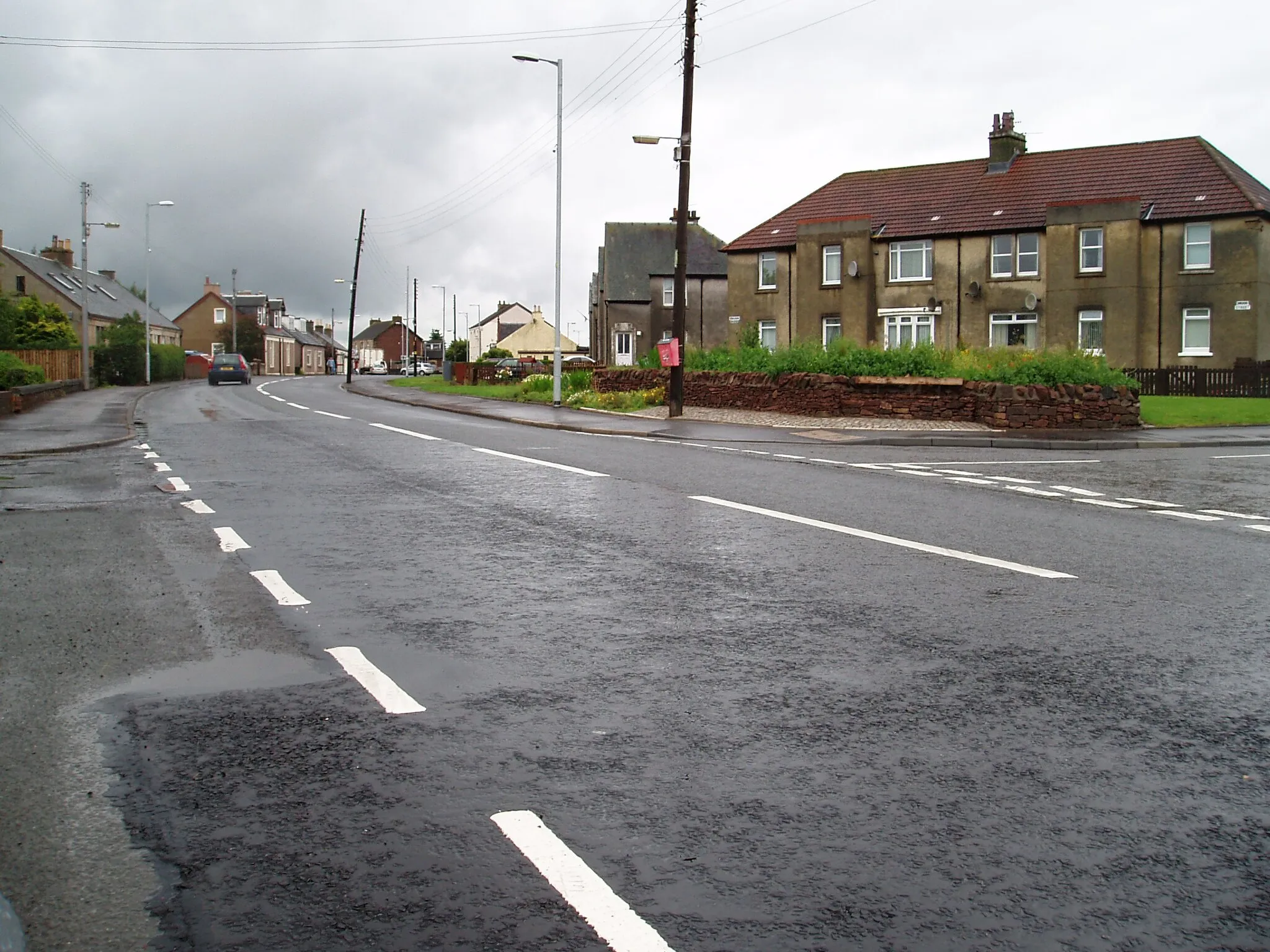
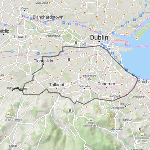
Rathcoole, situated in the Eastern and Midland region of Ireland, is a cyclist's paradise offering an array of cycling opportunities. The town boasts well-maintained roads and gravel paths, making it suitable for both road and gravel cyclists. Nearby, cyclists can explore the beautiful Wicklow Mountains and renowned cycling routes such as the Wicklow Gap. With its cycling-friendly infrastructure and access to notable cycling spots, Rathcoole receives a rank of 4 out of 5 for cyclists.
Rathcoole Adventure
Uncover the hidden gems around Rathcoole on this thrilling cycling route.
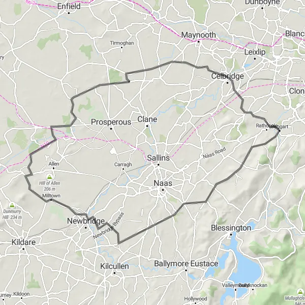
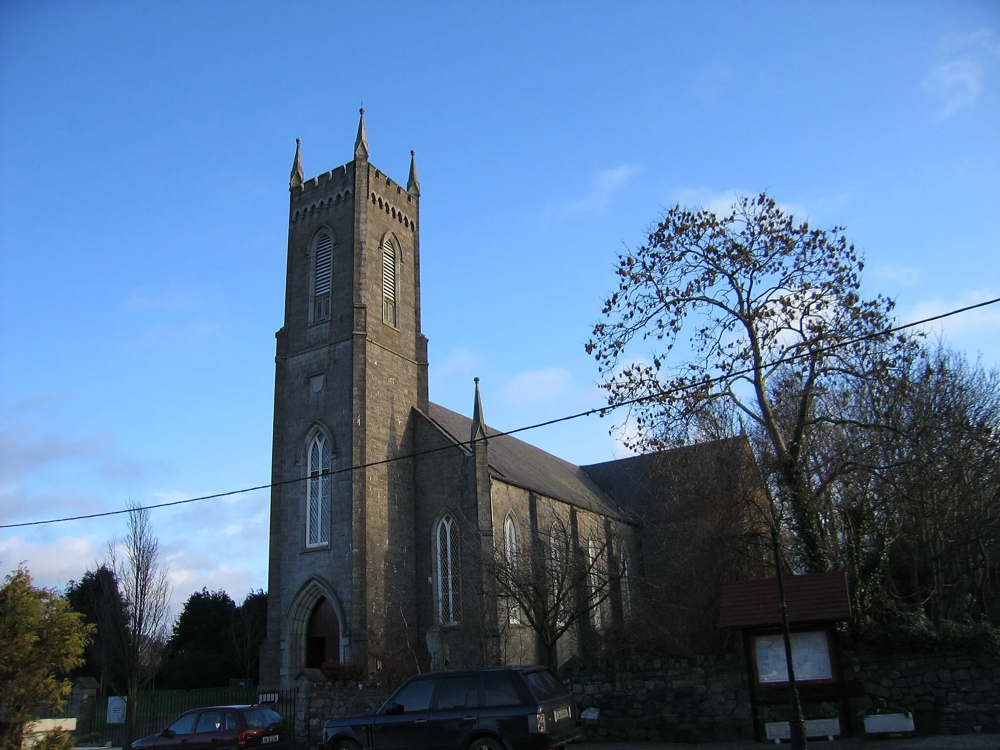
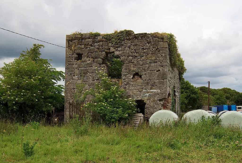
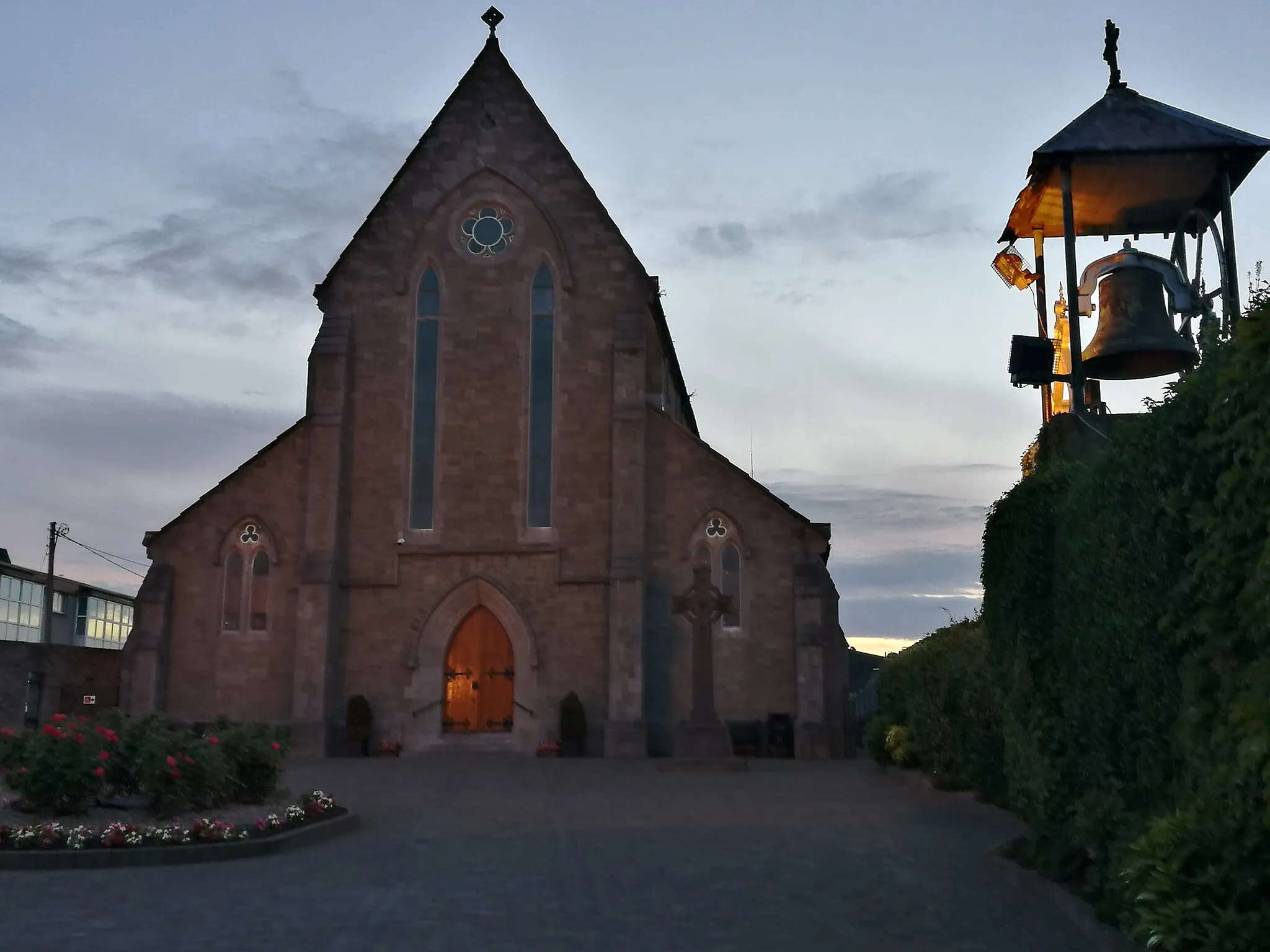
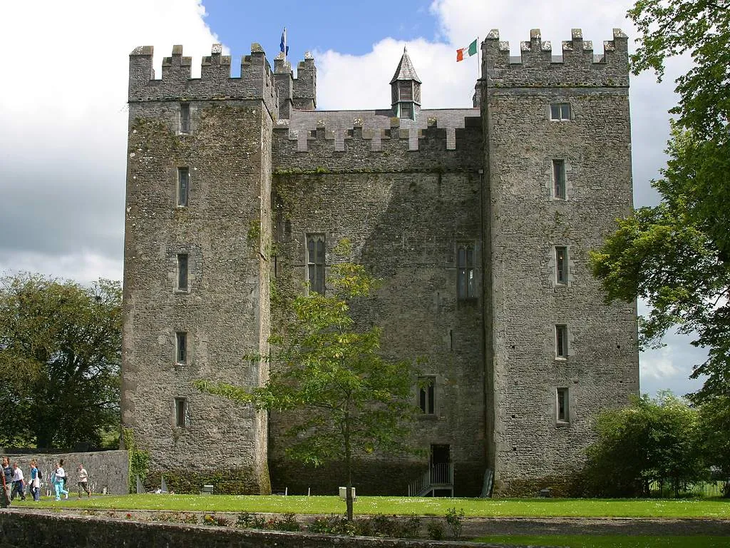
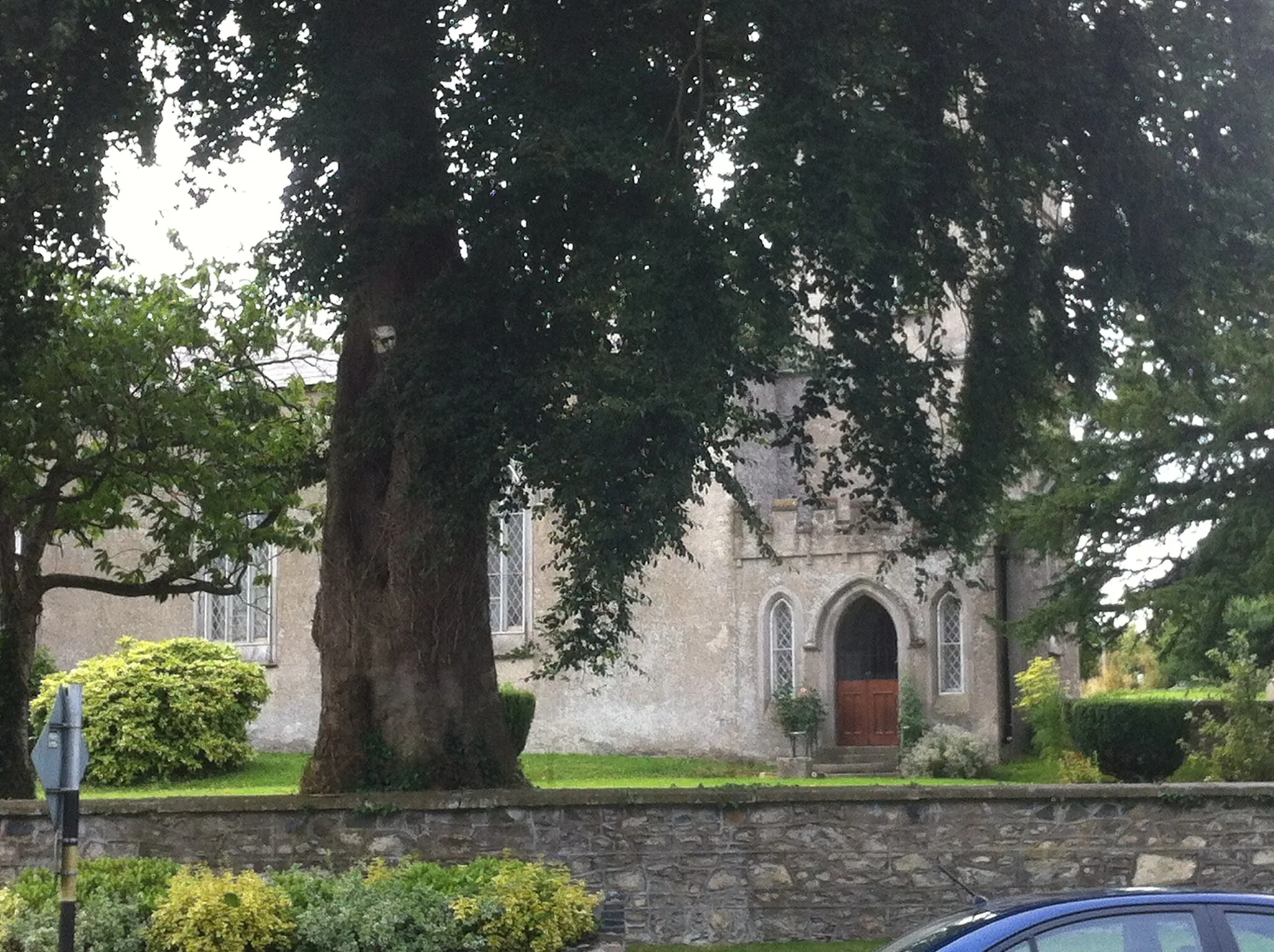
Embark on an exhilarating journey through the beautiful countryside surrounding Rathcoole. This round-trip route takes you on a scenic adventure, passing by picturesque landmarks and immersing you in the rich heritage of the area. With a mix of challenging ascents and enjoyable pathways, this cycling route will appeal to well-trained amateurs looking for an exciting challenge. Along the way, you'll encounter iconic highlights such as Kilteel Castle, a medieval fortress shrouded in history, and Taghadoe Round Tower, a majestic ancient monument standing tall. The route also offers breathtaking views from Hazelhatch Bridge and takes you through charming towns like Newbridge and Allenwood. Get ready for an epic cycling experience that showcases the best of Eastern and Midland Ireland.
The Road to Rathcoffey
Cycle along the enchanting road to Rathcoffey, surrounded by nature's splendor
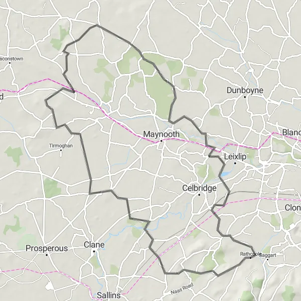
Embark on a picturesque road journey that guides you through the stunning landscapes on the way to Rathcoffey. This road route offers a blend of smooth rides and challenging climbs, with ascents that reward you with breathtaking views. Traverse rolling hills, pass by idyllic countryside scenery, and soak in the charm of the historic highlights along the way. With a difficulty level of 2, this route is perfect for cyclists of various skill levels seeking a memorable adventure amidst nature's splendor.
Embark on a captivating road trip towards the breathtaking Montpelier Hill
Set off on a mesmerizing road journey that showcases the stunning beauty of Rathcoole and its surroundings. This road route, suited for avid cyclists, will take you through picturesque landscapes, challenging ascents, and historical highlights. Brace yourself for an unforgettable experience as you conquer the famous Montpelier Hill and indulge in the magical atmosphere it offers. With a difficulty level of 4, this route is perfect for seasoned cyclists seeking an exhilarating challenge.
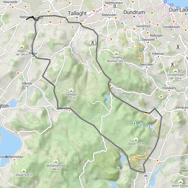
Embark on an ultimate road cycling adventure from Rathcoole, exploring legendary landmarks and challenging climbs
This ultimate road cycling adventure from Rathcoole covers a distance of 72 km with a challenging ascent of 889 meters. Suitable for experienced riders looking for a thrilling and physically demanding ride, this route takes you through iconic locations and stunning landscapes, offering an unforgettable cycling experience.

Embark on an off-road adventure through the stunning landscapes surrounding Rathcoole
Get off the beaten track and embark on a thrilling off-road adventure through the scenic landscapes surrounding Rathcoole. This gravel route guarantees an adrenaline rush, challenging ascents, and panoramic views that will leave you in awe. From the rugged expanse of Ballinteer to the tranquility of Tallaght, this route offers a unique cycling experience for adrenaline junkies and nature enthusiasts alike. With a difficulty level of 3, this off-road adventure is suited for well-prepared cyclists seeking an epic journey.

Uncover the hidden gems of Clondalkin on this exciting gravel adventure
Embark on a thrilling gravel adventure that takes you through the scenic landscapes surrounding Rathcoole. With a moderate difficulty level, this route offers the perfect challenge for well-trained amateurs. Experience the epicness of the diverse terrain and soak in the rich historical highlights along the way. From the Clondalkin Castle to the vibrant streets of Dublin, this route provides a memorable cycling experience for all enthusiasts.
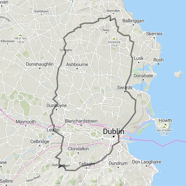
Embark on a thrilling road cycling adventure from Rathcoole through scenic landscapes and historic landmarks
This challenging road cycling route starts near Rathcoole and takes you on a 116 km journey through varied terrain and scenic beauty. With a total ascent of 610 meters, this route provides an exhilarating experience for strong and experienced cyclists. Throughout the route, you'll pass through picturesque towns and encounter iconic landmarks, making it a must-ride for those seeking a thrilling cycling adventure.

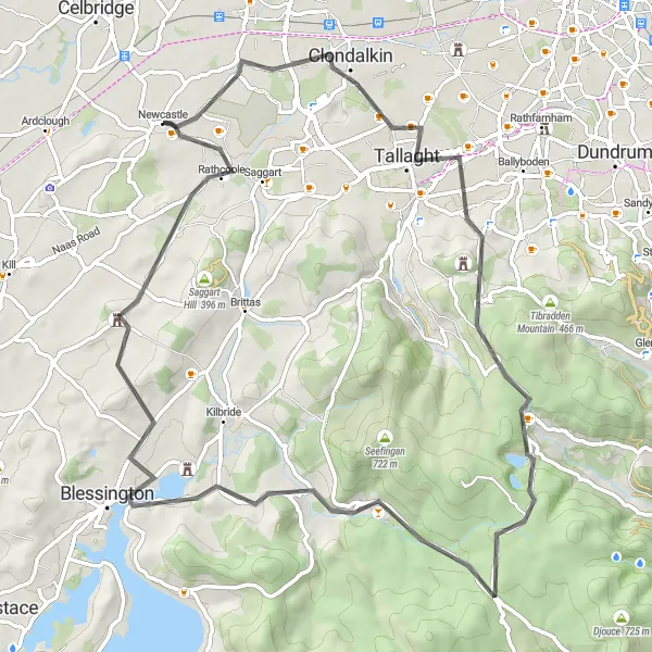
Experience the beauty of the Rathcoole surroundings on this scenic road cycling loop
This picturesque road cycling loop near Rathcoole offers cyclists a mix of challenging climbs, serene countryside, and charming villages. Covering a distance of 102 km with an ascent of 501 meters, this route is suitable for intermediate to advanced riders seeking a rewarding cycling experience. Along the way, you'll encounter historic landmarks, stunning views, and peaceful rural landscapes.
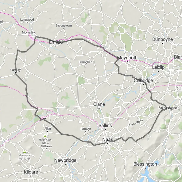
Embark on a scenic road cycling discovery from Rathcoole through historic landmarks and serene landscapes
This road cycling discovery from Rathcoole takes you on a 102 km journey through picturesque landscapes and historical sites. With an ascent of 388 meters, this route offers a moderate challenge suitable for intermediate riders. Along the way, you'll encounter charming towns, ancient castles, and beautiful vistas that will make your ride truly memorable.
The Dublin Escape
Escape the bustling city and explore the natural beauty around Rathcoole
Embark on an exhilarating road trip that takes you away from the busy city streets and into the serene countryside surrounding Rathcoole. This road route offers a perfect mix of smooth riding and challenging ascents to satisfy cyclists of all skill levels. Enjoy the tranquility of the lush green landscapes as you pedal towards the captivating highlights along the way. With a difficulty level of 2, this route is suitable for cyclists looking for a leisurely yet rewarding adventure.
Cycling routes nearby:
Nearby regions: