The Enchanting Road to Montpelier Hill
A road cycling route starting from Rathcoole
Embark on a captivating road trip towards the breathtaking Montpelier Hill
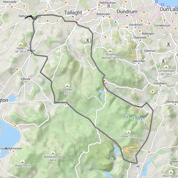
Map
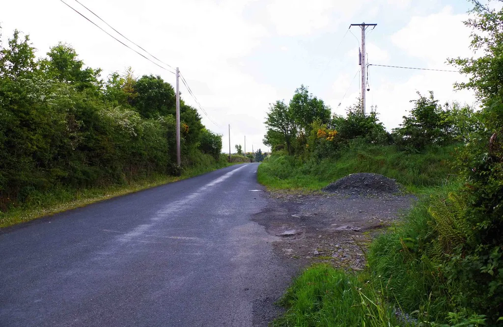
Set off on a mesmerizing road journey that showcases the stunning beauty of Rathcoole and its surroundings. This road route, suited for avid cyclists, will take you through picturesque landscapes, challenging ascents, and historical highlights. Brace yourself for an unforgettable experience as you conquer the famous Montpelier Hill and indulge in the magical atmosphere it offers. With a difficulty level of 4, this route is perfect for seasoned cyclists seeking an exhilarating challenge.
road
73 km
1180 m
Tough
Route profile
Highlights on the route
0 km
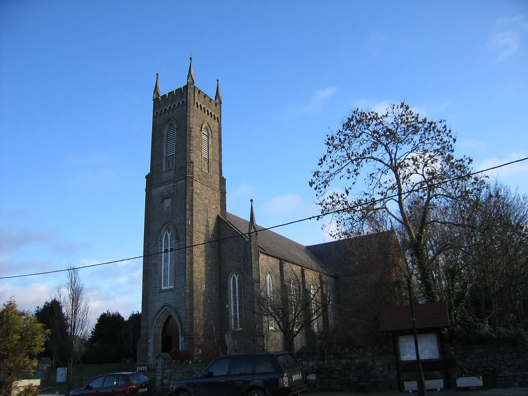
0 km
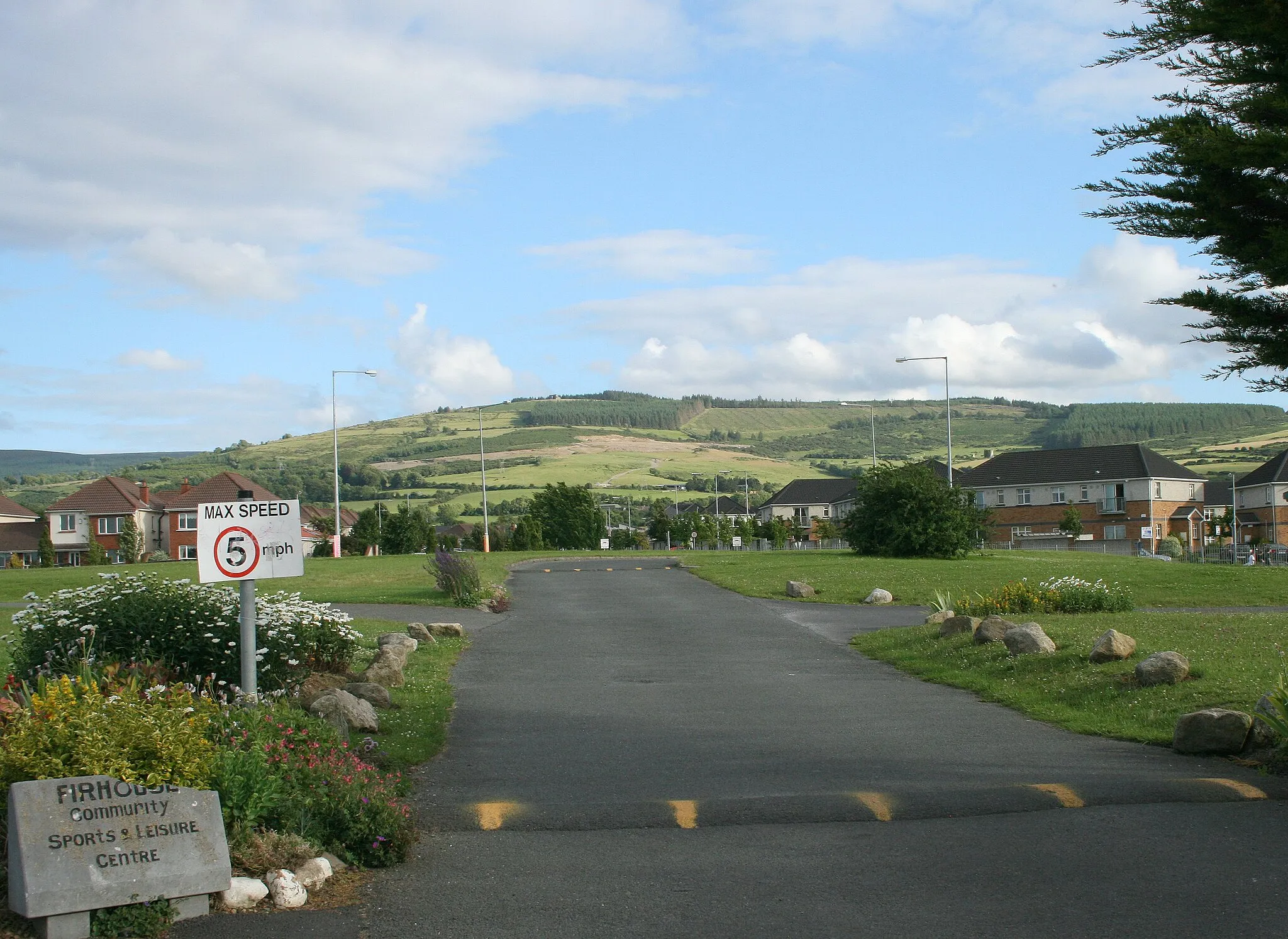
Start: Rathcoole Village centerRathcoole: Cycling Paradise in the Wicklow Mountains
Rathcoole, situated in the Eastern and Midland region of Ireland, is a cyclist's paradise offering an array of cycling opportunities. The town boasts well-maintained roads and gravel paths, making it suitable for both road and gravel cyclists. Nearby, cyclists can explore the beautiful Wicklow Mountains and renowned cycling routes such as the Wicklow Gap. With its cycling-friendly infrastructure and access to notable cycling spots, Rathcoole receives a rank of 4 out of 5 for cyclists.13 km
13 km
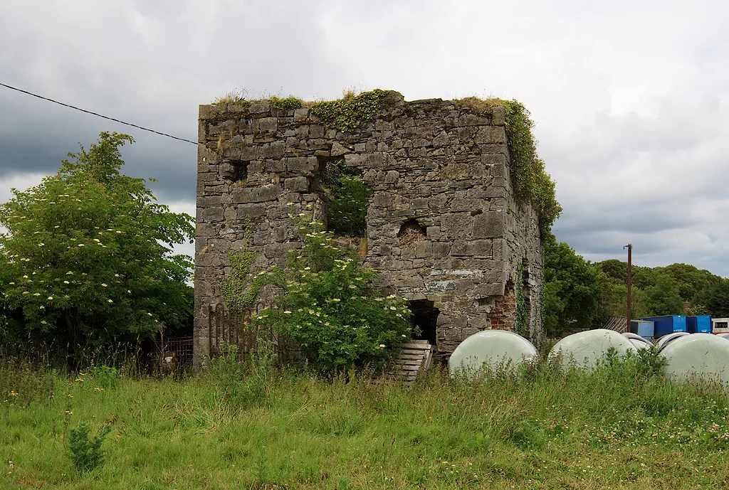
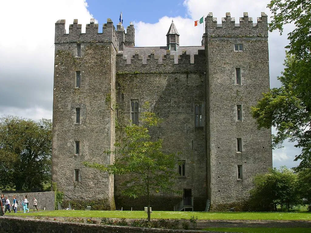
Montpelier Hill383 mPeakVisit Montpelier Hill, also known as the Hellfire Club, and uncover its haunting history and mystical legends.
20 km
20 km
Glencree German War CemeteryAttractionPay homage to the fallen soldiers at the Glencree German War Cemetery amidst serene surroundings.
31 km
31 km
Long Hill379 mPeakClimb the challenging Long Hill and be rewarded with breathtaking views of the surrounding countryside.
39 km
39 km
Victor's WayAttractionVisit Victor's Way, a stunning sculpture park inspired by Indian philosophy and mythology.
42 km
42 km
Robber's Pass Hill508 mPeakConquer Robber's Pass Hill, a daunting climb that tests your endurance and rewards you with stunning vistas.
66 km
66 km
BrittasVillagePass through the scenic village of Brittas, renowned for its charming rural landscapes and picturesque cottages.
73 km
73 km
Finish: Rathcoole Village centerRathcoole: Cycling Paradise in the Wicklow Mountains
Cycling routes from Rathcoole:
The Enchanting Road to Montpelier Hill Scenic Road Cycling Loop around Rathcoole Scenic Gravel Cycling around Rathcoole Challenging Road Cycling Adventure from Rathcoole The Road to Rathcoffey The Clondalkin Gravel Adventure The Dublin Escape Scenic Road Cycling Discovery from Rathcoole Off-Road Adventure through Tallaght Ultimate Road Cycling Adventure from Rathcoole Rathcoole Adventure
Cycling routes nearby: