Foothills of Dublin Adventure
A road cycling route starting from Saggart
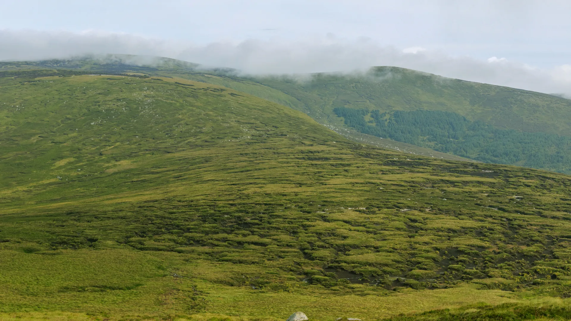
A challenging ride through the stunning foothills of the Dublin Mountains
Map
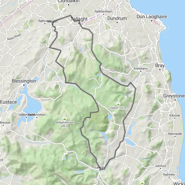
Embark on a challenging cycling adventure through the scenic foothills of the Dublin Mountains. With a total ascent of 1360 meters over a distance of 94 kilometers, this route is perfect for experienced cyclists seeking a tough and rewarding ride. As you conquer legendary climbs and visit famous spots, you'll witness breathtaking views and unrivaled natural beauty.
road
94 km
1360 m
Savage
Route profile
Highlights on the route
0 km
0 km
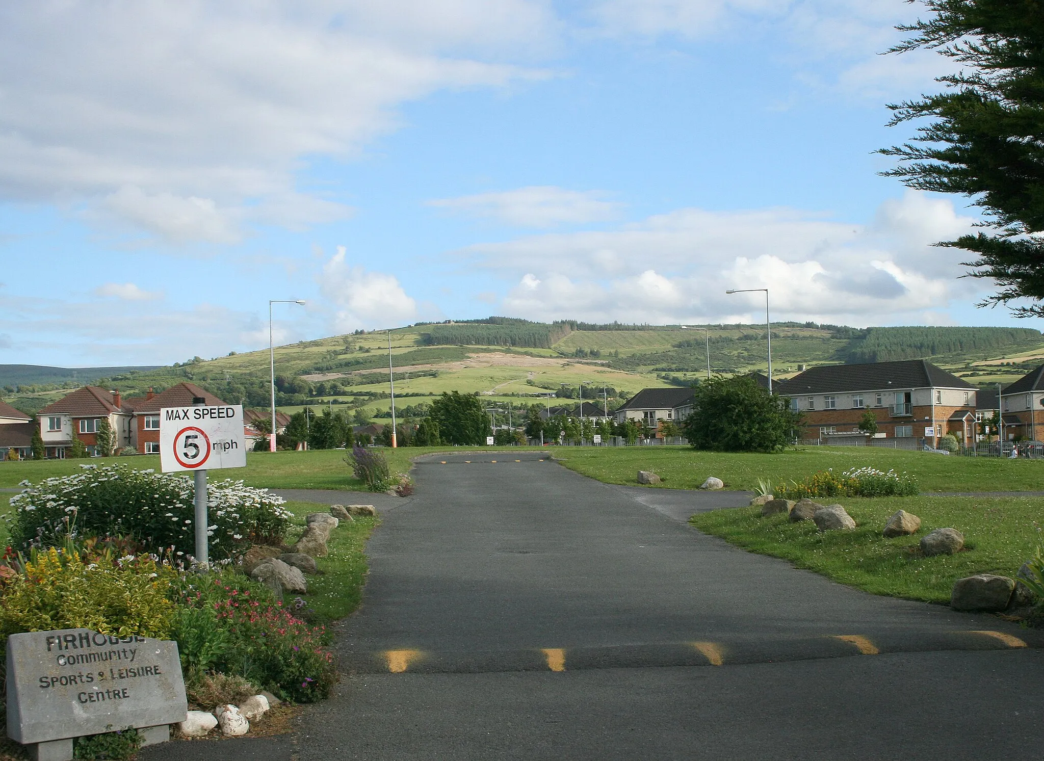
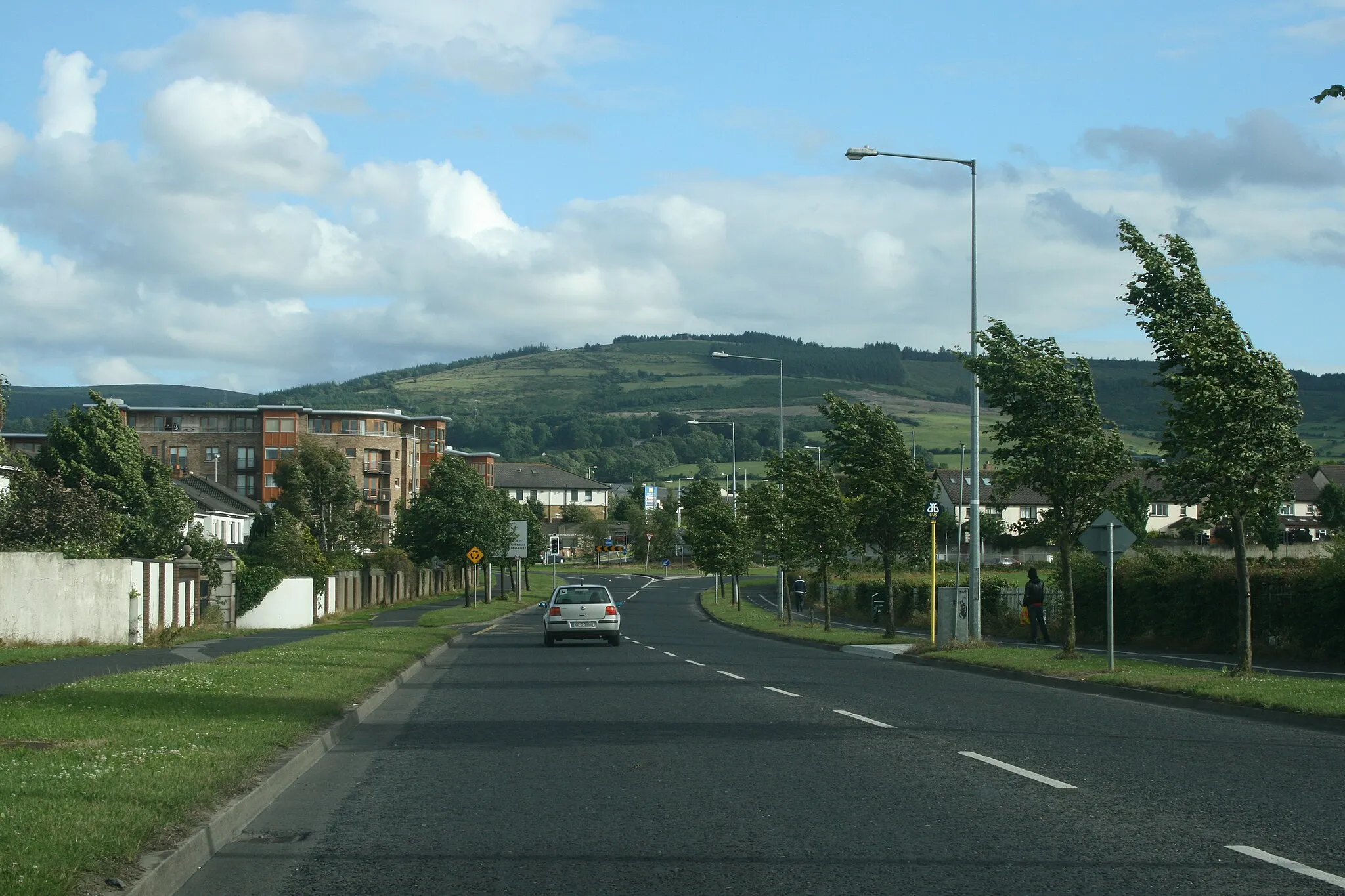
Start: Saggart Village centerSaggart: Discover the cycling heaven of Saggart and its scenic routes.
Saggart, located in the Eastern and Midland region of Ireland, is a cyclist's paradise with its extensive network of cycle paths and quiet roads. The surrounding area offers various cycling routes with panoramic views and opportunities for both leisurely rides and challenging climbs. Nearby, cyclists can visit the iconic Dublin Mountains and tackle the famous Sally Gap climb.0 km
0 km
SaggartVillageBegin your ride in Saggart, a vibrant village with deep historical roots, offering a warm welcome and access to some of Ireland's most breathtaking cycling routes.
12 km
12 km
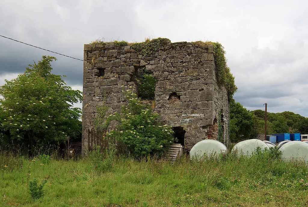
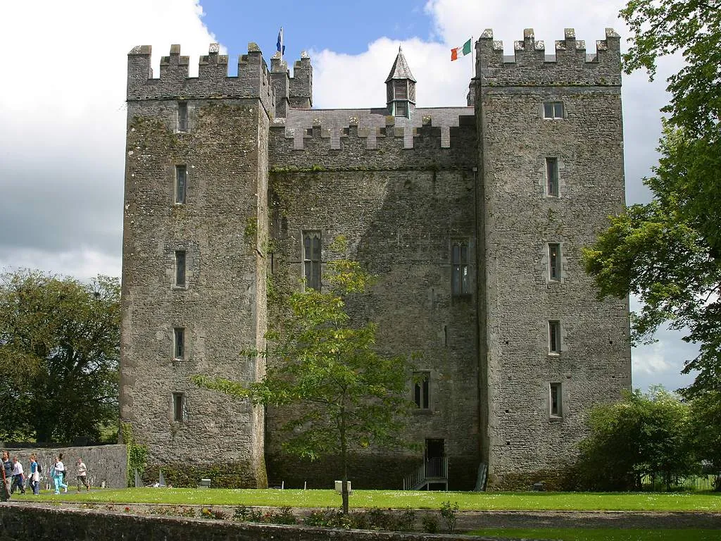
Montpelier Hill383 mPeakClimb Montpelier Hill and reach the iconic Hellfire Club, a hauntingly atmospheric ruin with a dark reputation.
19 km
19 km
Glencree German War CemeteryAttractionDiscover the poignant Glencree German War Cemetery, reflecting Ireland's involvement in World War I and showcasing the remembrance of fallen soldiers.
30 km
30 km
Long Hill379 mPeakTake on the challenging ascent of Long Hill and be rewarded with mesmerizing views of the Dublin Mountains and beyond.
41 km
41 km
RoundwoodVillageEmbrace the beauty of Roundwood, a picturesque village nestled amidst stunning forests and pristine lakes.
57 km
57 km
Glenmacnass WaterfallWaterfallMarvel at the awe-inspiring Glenmacnass Waterfall, one of the tallest waterfalls in Ireland cascading down the steep mountainside.
60 km
60 km
Carrigshouk572 mPeakConquer Carrigshouk, a challenging climb that rewards you with panoramic views of the Dublin Mountains and surrounding countryside.
88 km
88 km
BrittasVillageFinish your ride in Brittas, a charming village surrounded by rolling hills, offering tranquility and scenic beauty at the foothills of the Dublin Mountains.
91 km
91 km
Verschoyle's Hill386 mPeakEnjoy the stunning vistas from the summit of Verschoyle's Hill, an extraordinary viewpoint showcasing the vastness of the Dublin Mountains.
94 km
94 km
Finish: Saggart Village centerSaggart: Discover the cycling heaven of Saggart and its scenic routes.
Cycling routes from Saggart:
Cycling routes nearby: