The Sallins Circular
A road cycling route starting from Sallins
Experience the scenic countryside and charming villages.
Map
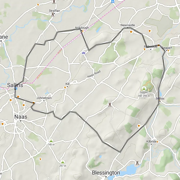
The Sallins Circular is a delightful cycling route that takes you through the beautiful Irish countryside and charming villages. With a total distance of 49 kilometers and an ascent of 374 meters, this route is suitable for those looking for a moderate challenge. The bike-friendly road surfaces make it perfect for road cyclists.
road
49 km
374 m
Tough
Route profile
Highlights on the route
0 km
0 km
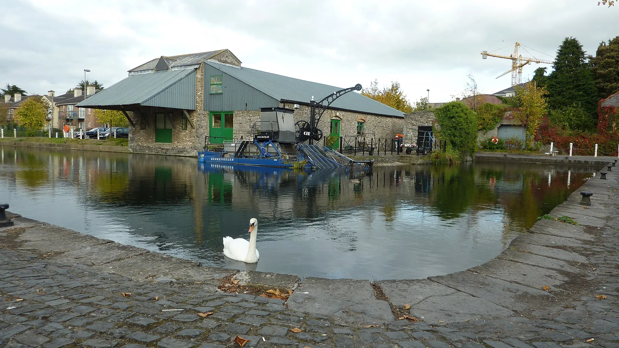
Start: Sallins City centerSallins: A cyclist's paradise with scenic cycle routes and canal towpath trails in Sallins.
Sallins, located in Ireland's Eastern and Midland region, is a cyclist's paradise. The town is surrounded by beautiful cycle routes that cater to both road and gravel cyclists. With its close proximity to the Grand Canal, Sallins offers scenic canal towpath trails, perfect for leisurely rides. Another popular cycling spot nearby is the Naas Cycling Club, which organizes regular group rides and events.0 km
0 km
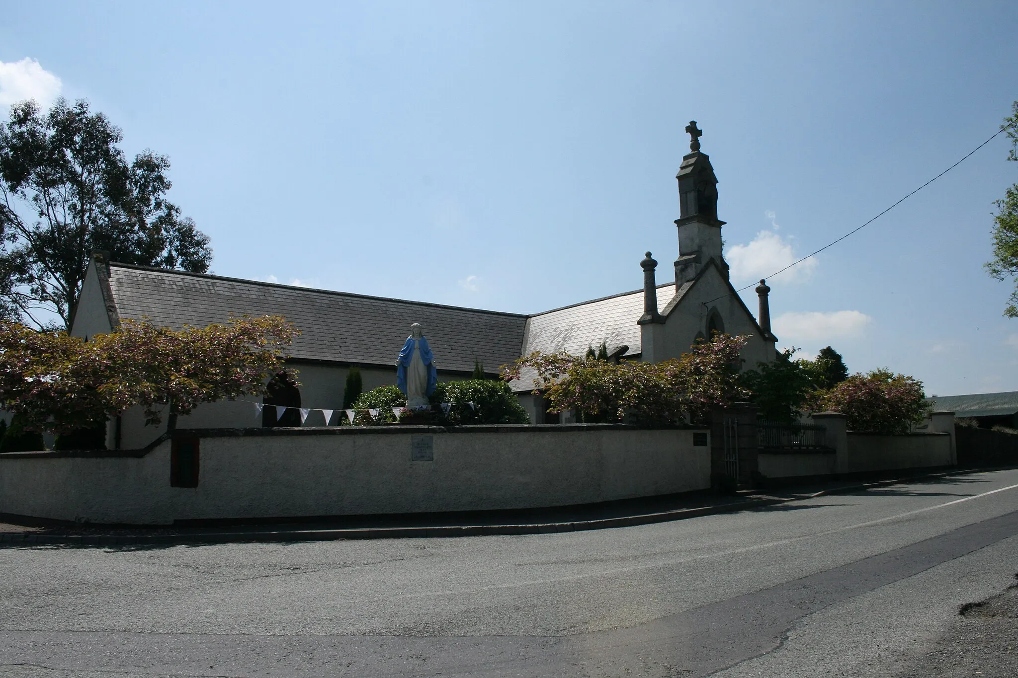
SallinsTownVisit Sallins, a picturesque village known for its tranquil canals and charming pubs.
10 km
10 km
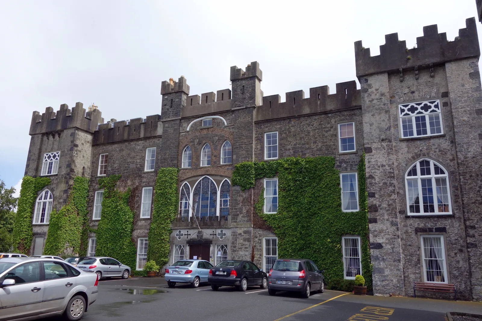
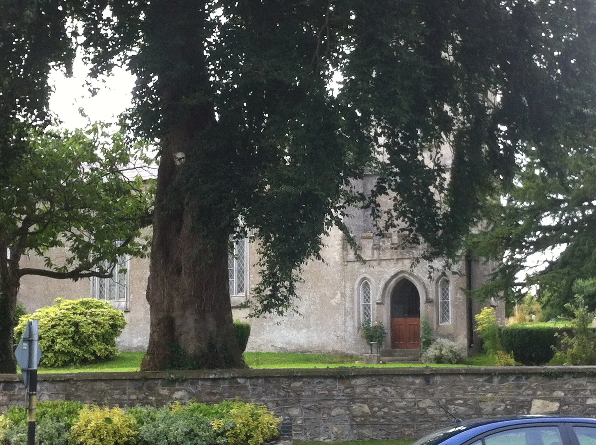
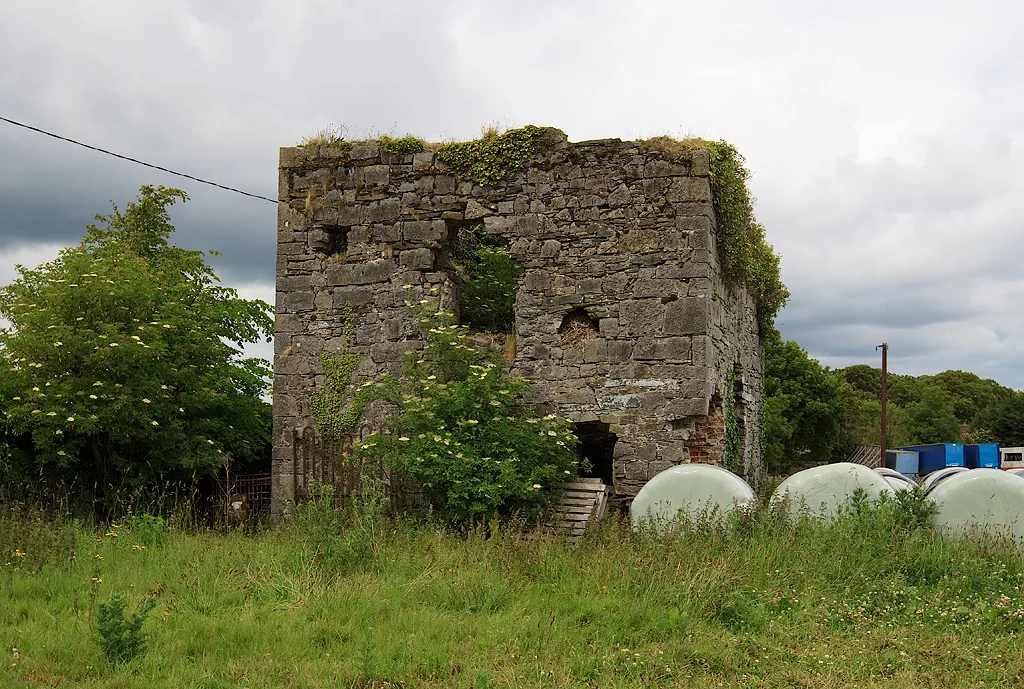
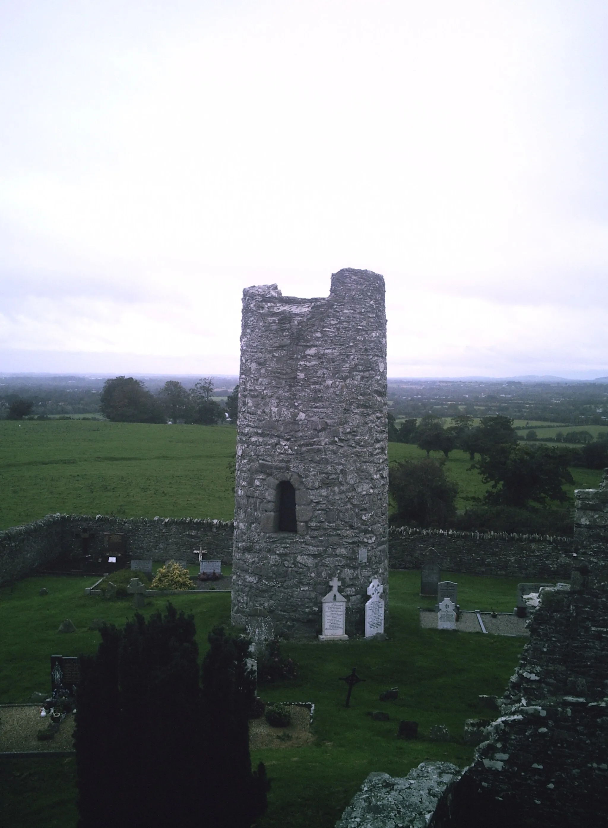
ArdcloughVillageExplore Ardclough, a quaint town with historic landmarks and a charming country church.
22 km
22 km
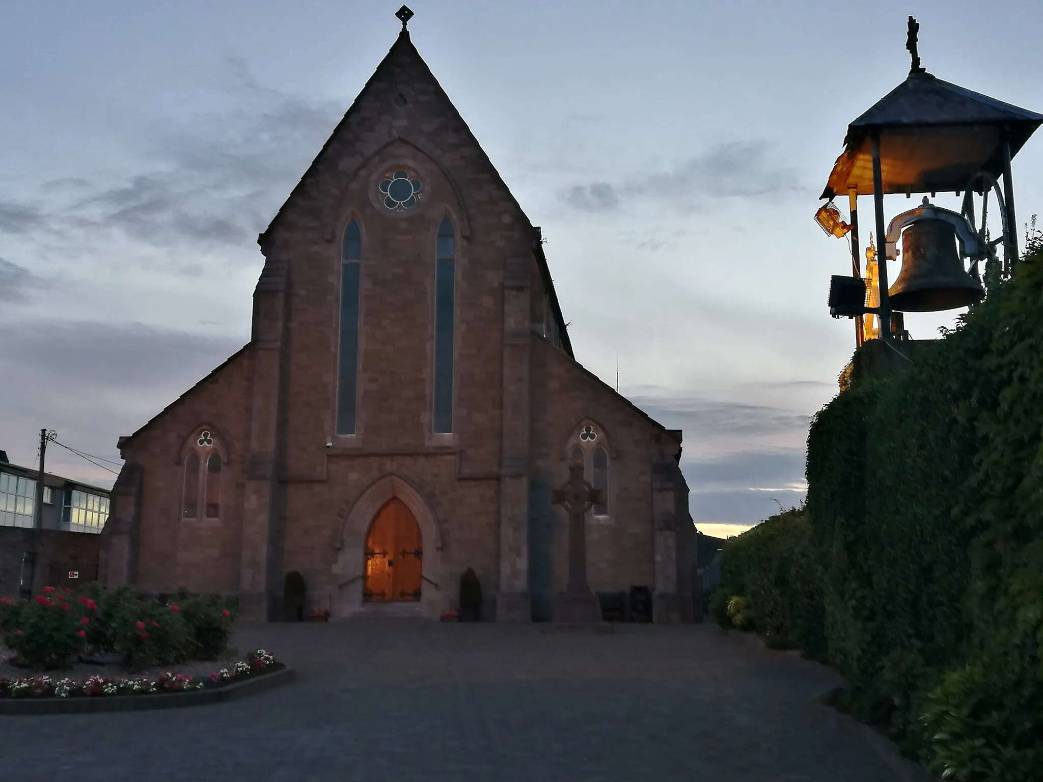
SaggartVillagePass through Saggart, a vibrant village nestled in the foothills of the Dublin Mountains.
24 km
24 km
Verschoyle's Hill386 mPeakClimb Verschoyle's Hill for breathtaking views of the surrounding countryside and rolling hills.
49 km
49 km
Finish: Sallins City centerSallins: A cyclist's paradise with scenic cycle routes and canal towpath trails in Sallins.
Cycling routes nearby: