The Hilly Loop
A road cycling route starting from Ballyhaunis
Experience the rolling hills and stunning countryside on this challenging road cycling route
Map
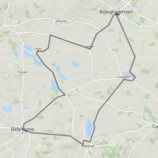
The Hilly Loop is a challenging road cycling route that takes you around the beautiful countryside near Ballyhaunis. With a total ascent of 253 meters and a distance of 61 kilometers, this route is perfect for well-trained amateurs looking for a tough but rewarding ride. The scenic landscapes and quiet country roads make this route a feast for the eyes.
road
61 km
253 m
Tough
Route profile
Highlights on the route
0 km
0 km
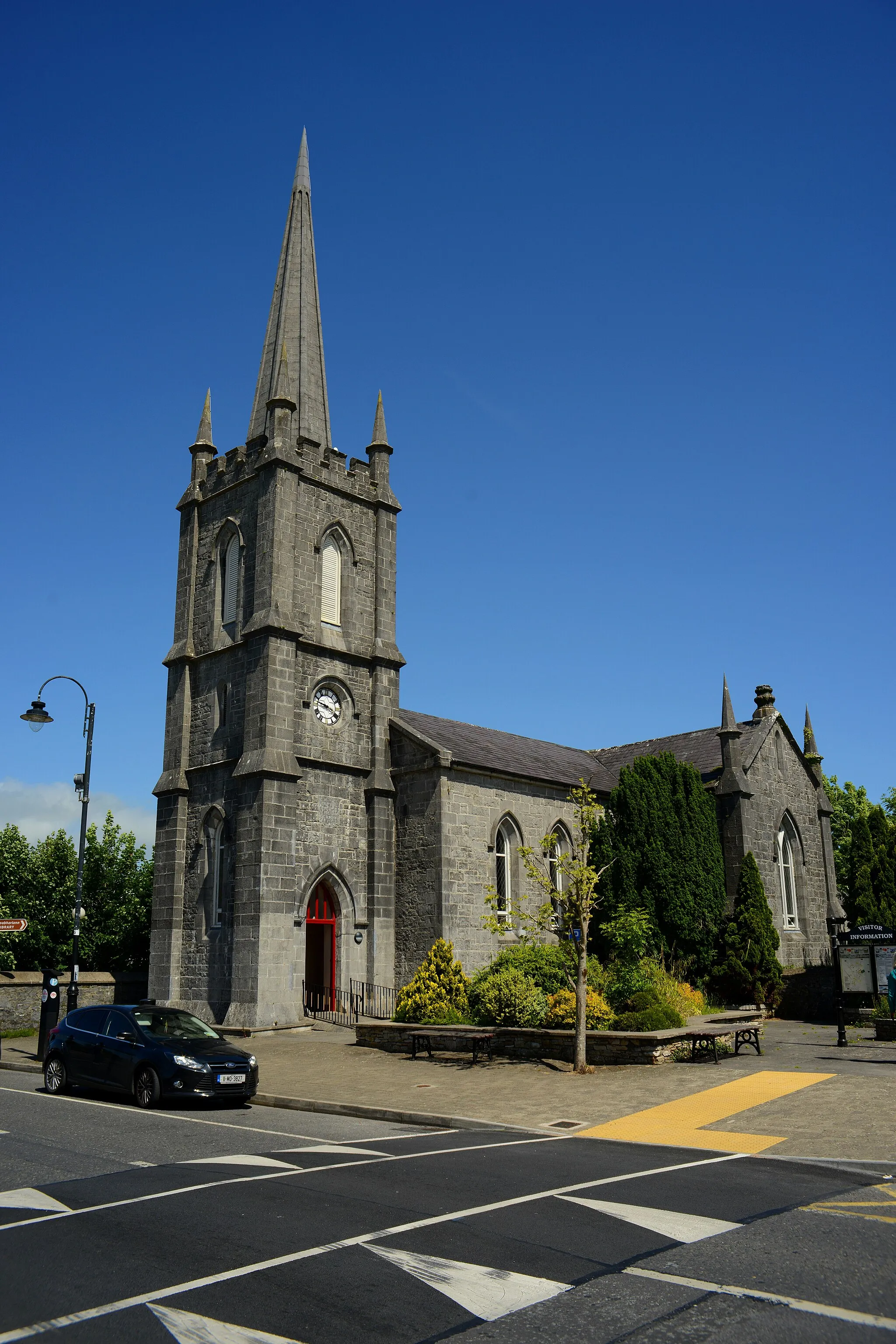
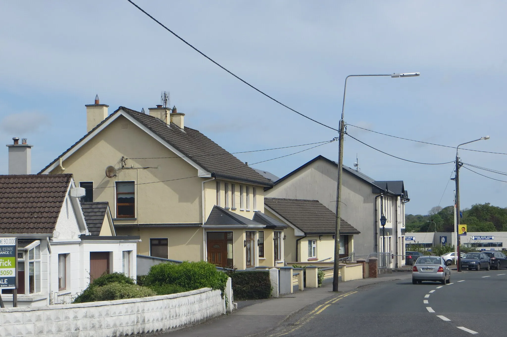
Start: Ballyhaunis City centerBallyhaunis: Tranquil rural cycling in Ballyhaunis.
Ballyhaunis, situated in the Northern and Western region of Ireland, offers a mix of rural cycling opportunities. As a road and gravel cyclist, you can explore the peaceful countryside surroundings of Ballyhaunis and enjoy riding on quiet backroads and country lanes. While Ballyhaunis may not be home to any famous cycling-related spots or well-known climbs, it provides a tranquil environment for cycling enthusiasts looking to escape the hustle and bustle of urban areas. With its serene landscapes and rural charm, Ballyhaunis offers a pleasant cycling experience for riders of all levels.29 km
29 km
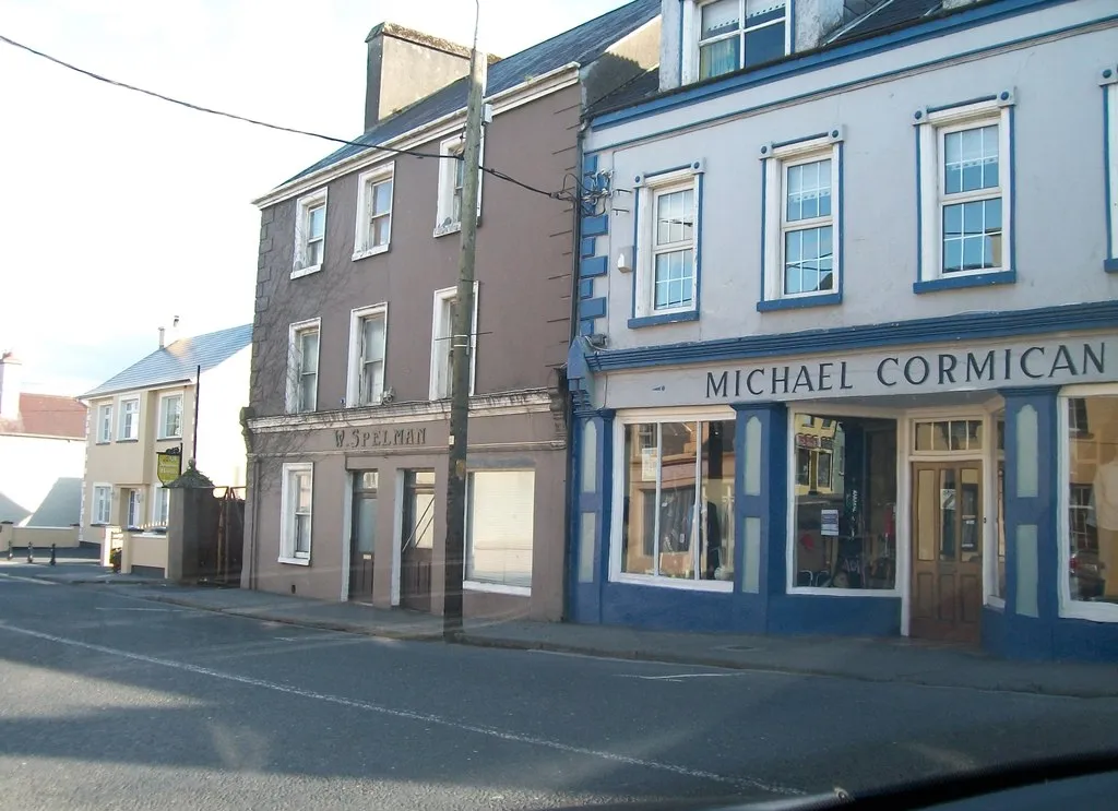
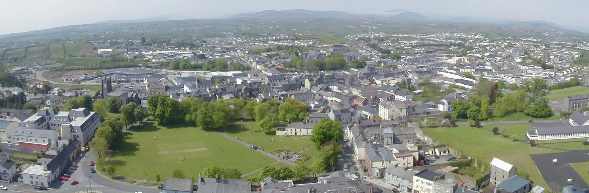
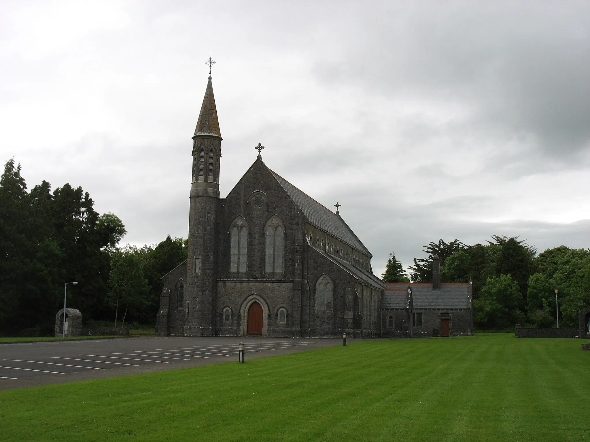
BallaghaderreenTownBallaghaderreen is a charming town located along the route. Make sure to stop by and explore its historical sites and friendly atmosphere.
42 km
42 km
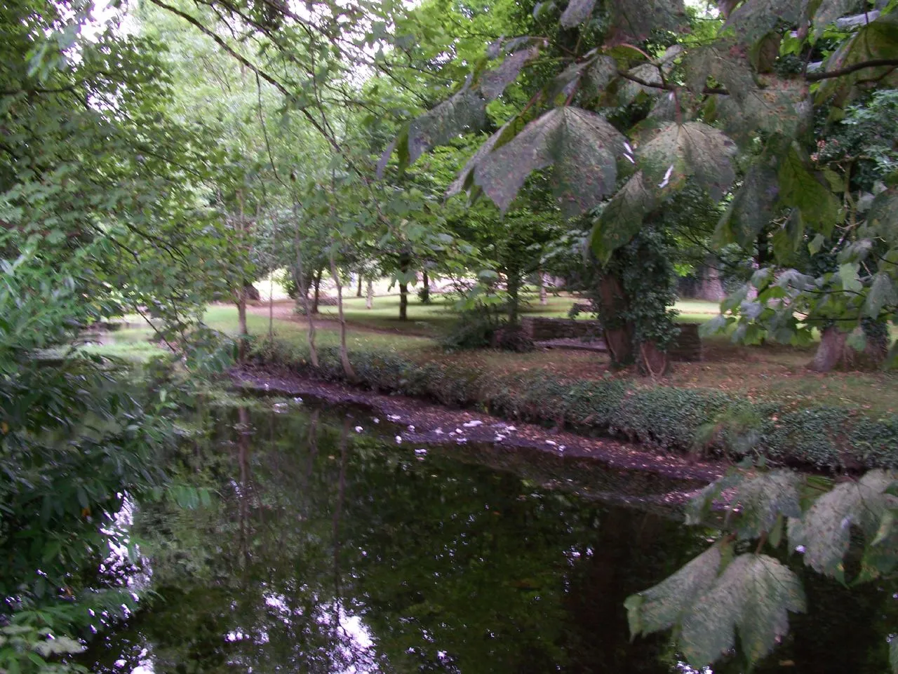
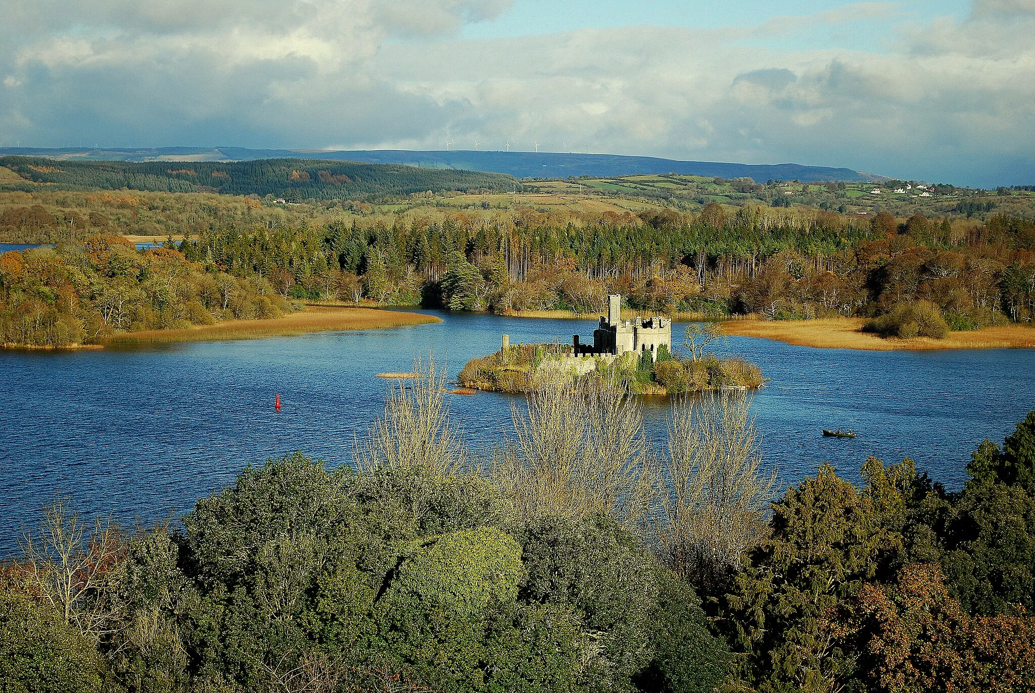
LoughglinnVillageLoughglinn is a small village nestled between rolling hills. Take a break here and enjoy the tranquil beauty of the area.
61 km
61 km
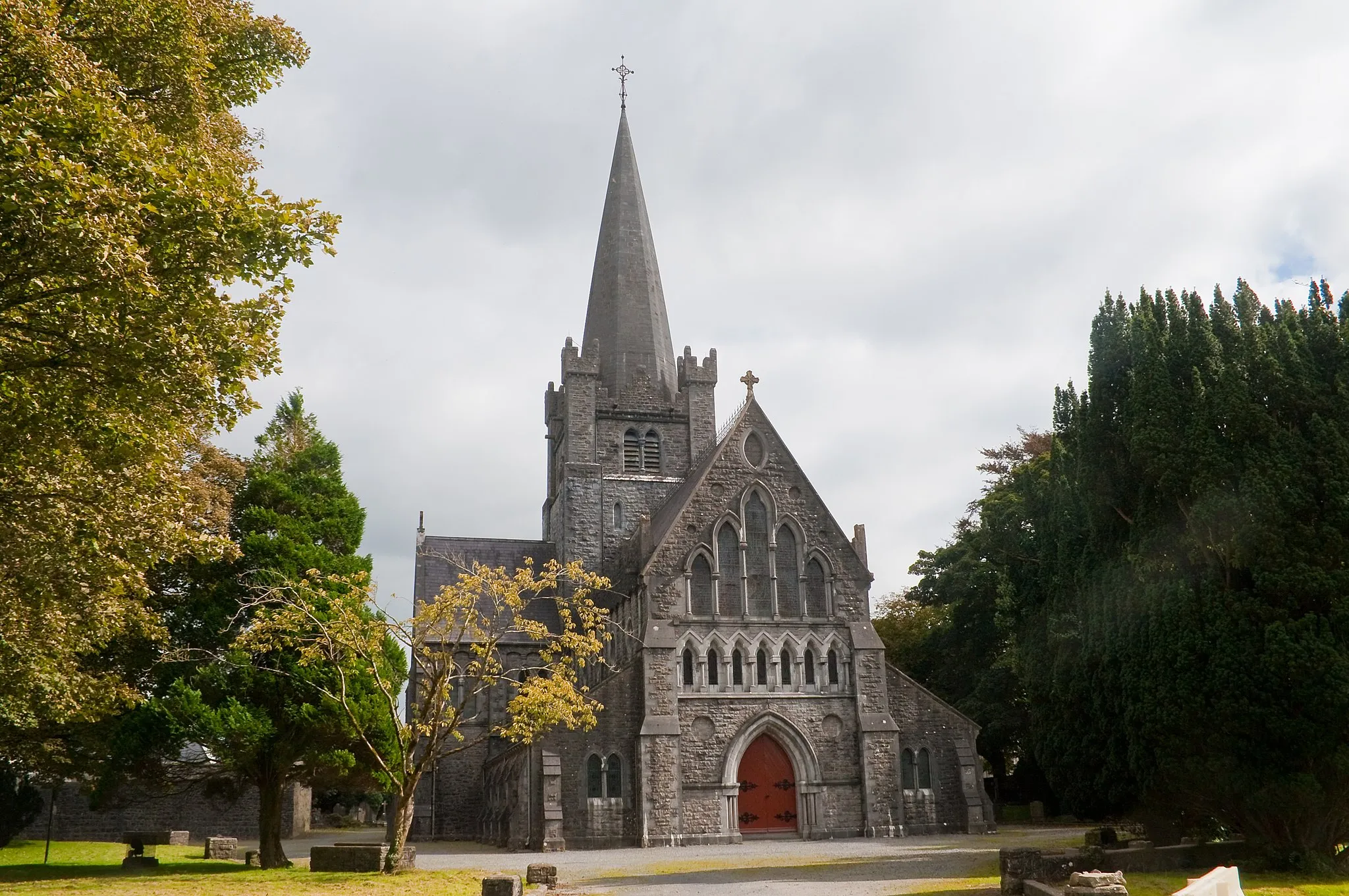
BallyhaunisTownBallyhaunis is the starting point of this cycling route. Known for its vibrant community and rich history, this town offers plenty of attractions to explore before or after your ride.
61 km
61 km
Finish: Ballyhaunis City centerBallyhaunis: Tranquil rural cycling in Ballyhaunis.
Cycling routes nearby: