Ballinlough to Loughglinn Circuit
A road cycling route starting from Castlerea
Experience the scenic route from Ballinlough to Loughglinn
Map
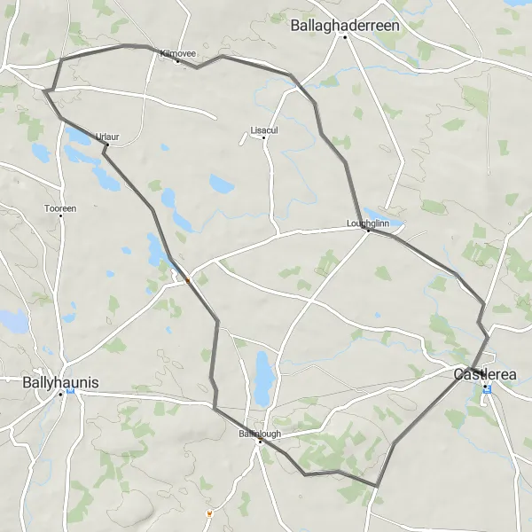
Embark on this 62-kilometer road cycling circuit that takes you from Ballinlough to Loughglinn. With a total ascent of 249 meters, this moderately challenging route offers stunning views of the Irish countryside. Discover picturesque villages and serene lakes as you pedal through the heart of Northern and Western Ireland.
road
62 km
249 m
Tough
Route profile
Highlights on the route
0 km
0 km
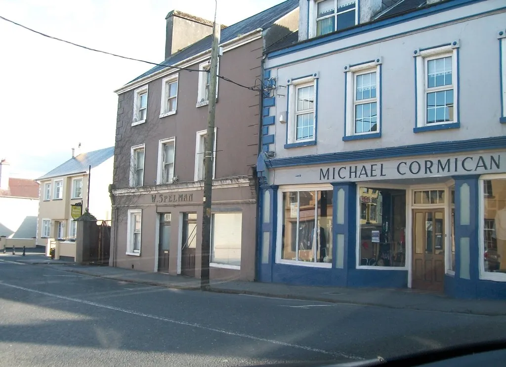
Start: Castlerea City centerCastlerea: Explore Charming Towns and Countryside in Northern and Western Ireland
Castlerea is a town located in Northern and Western Ireland. From a cyclist's perspective, Castlerea offers a mix of terrain, including flat stretches and rolling hills. Road and gravel cyclists can enjoy exploring the surrounding countryside, which boasts picturesque views and small, charming villages. Castlerea is also home to Castlerea Railway Museum and Art Gallery, showcasing the town's historic connection to the railway. Nearby attractions, such as Clonalis House and Rathcroghan Visitor Centre, provide interesting cultural experiences. Overall, Castlerea provides a scenic and culturally rich cycling destination.13 km
13 km
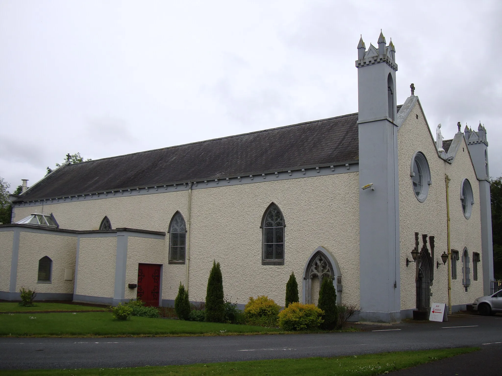
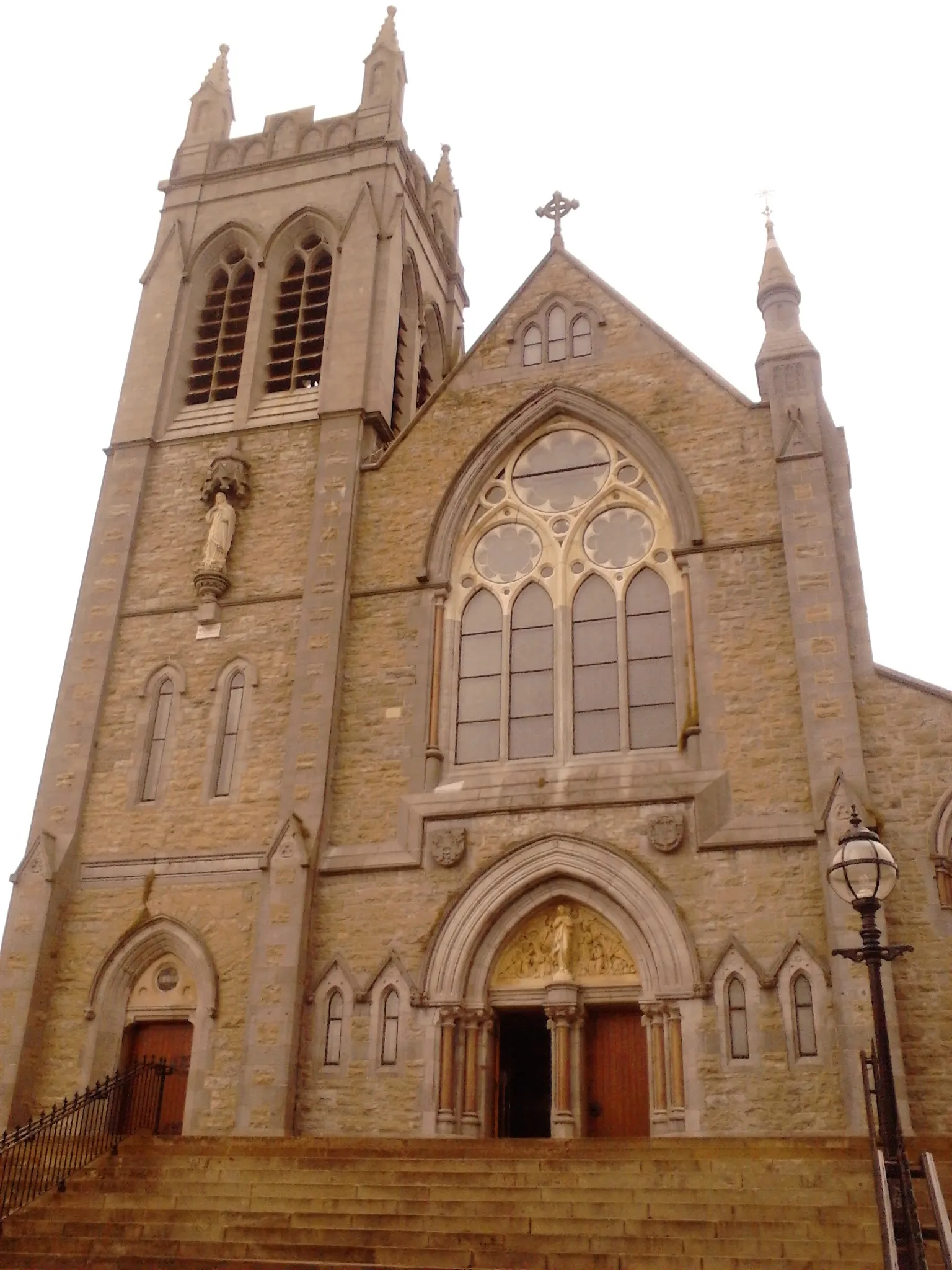
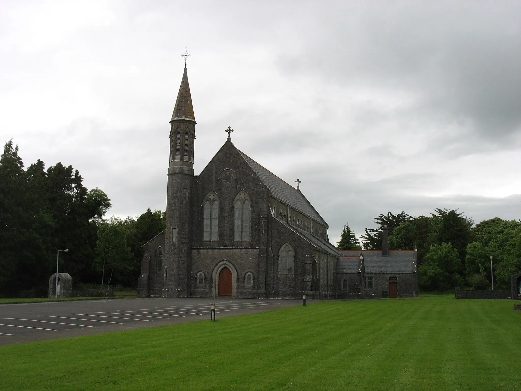
BallinloughVillagePass through Ballinlough and admire its beautiful 18th-century Catholic church.
39 km
39 km
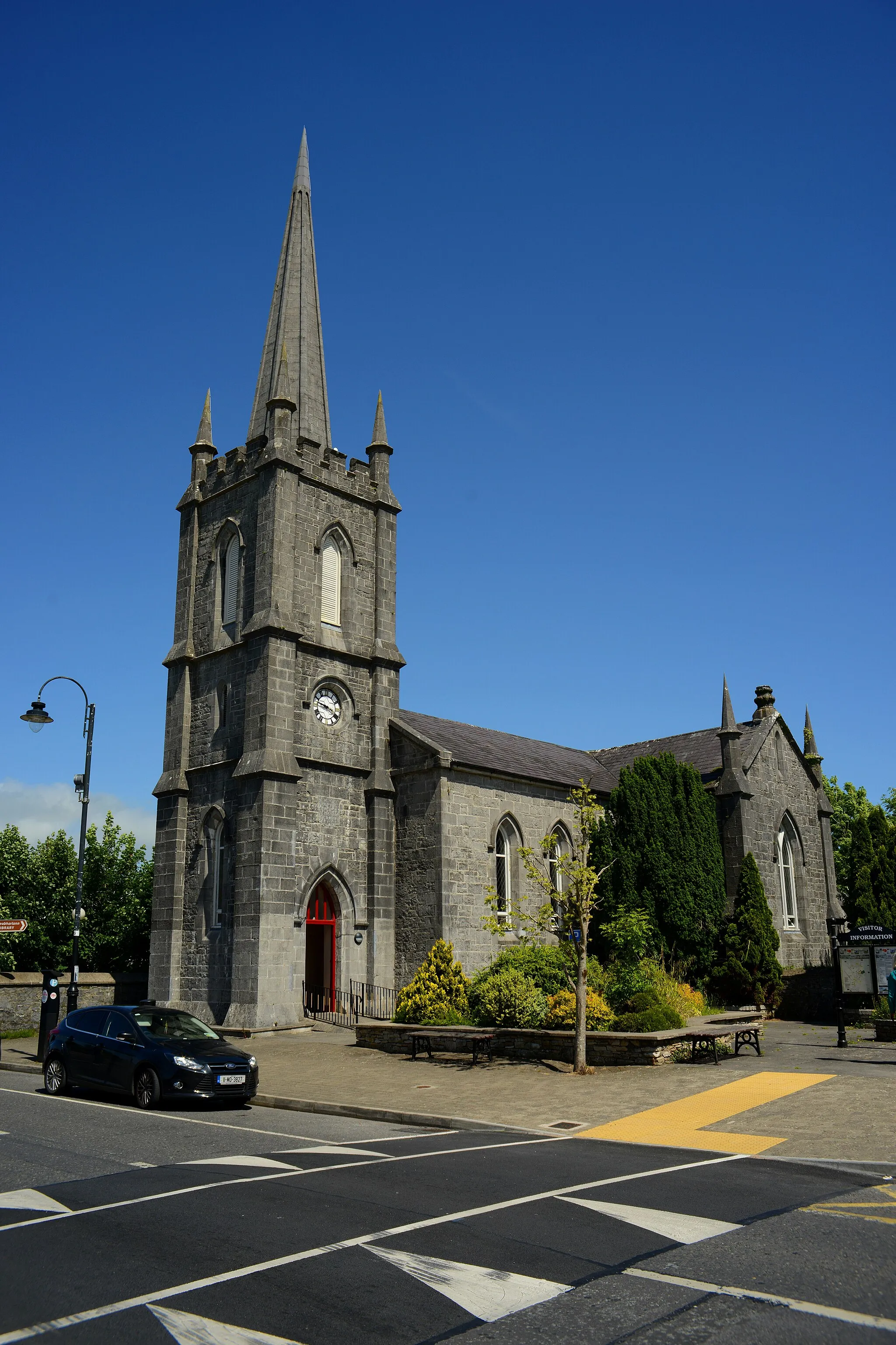
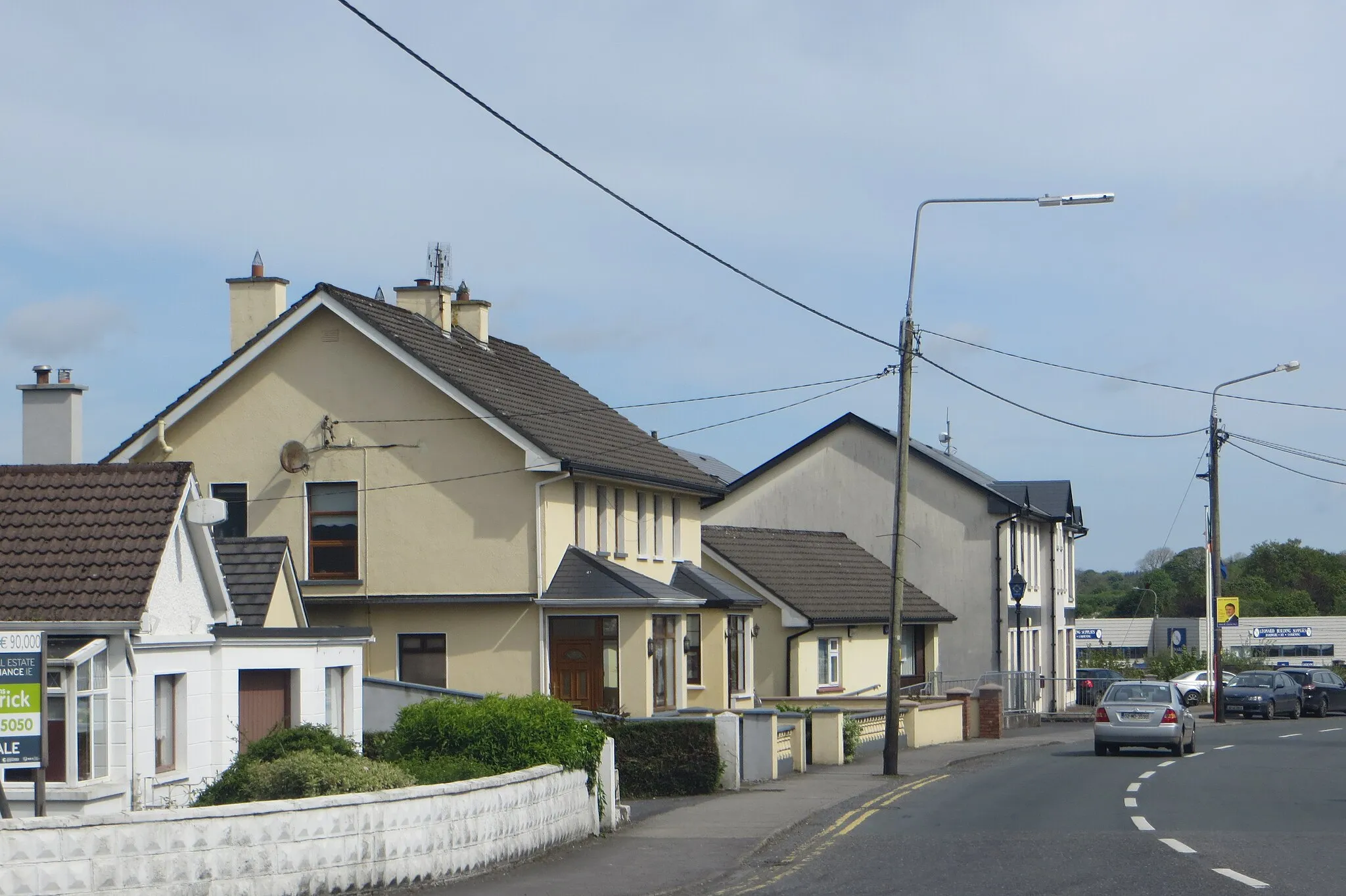
KilmoveeVillageExplore Kilmovee, a charming village with a rich cultural heritage.
52 km
52 km
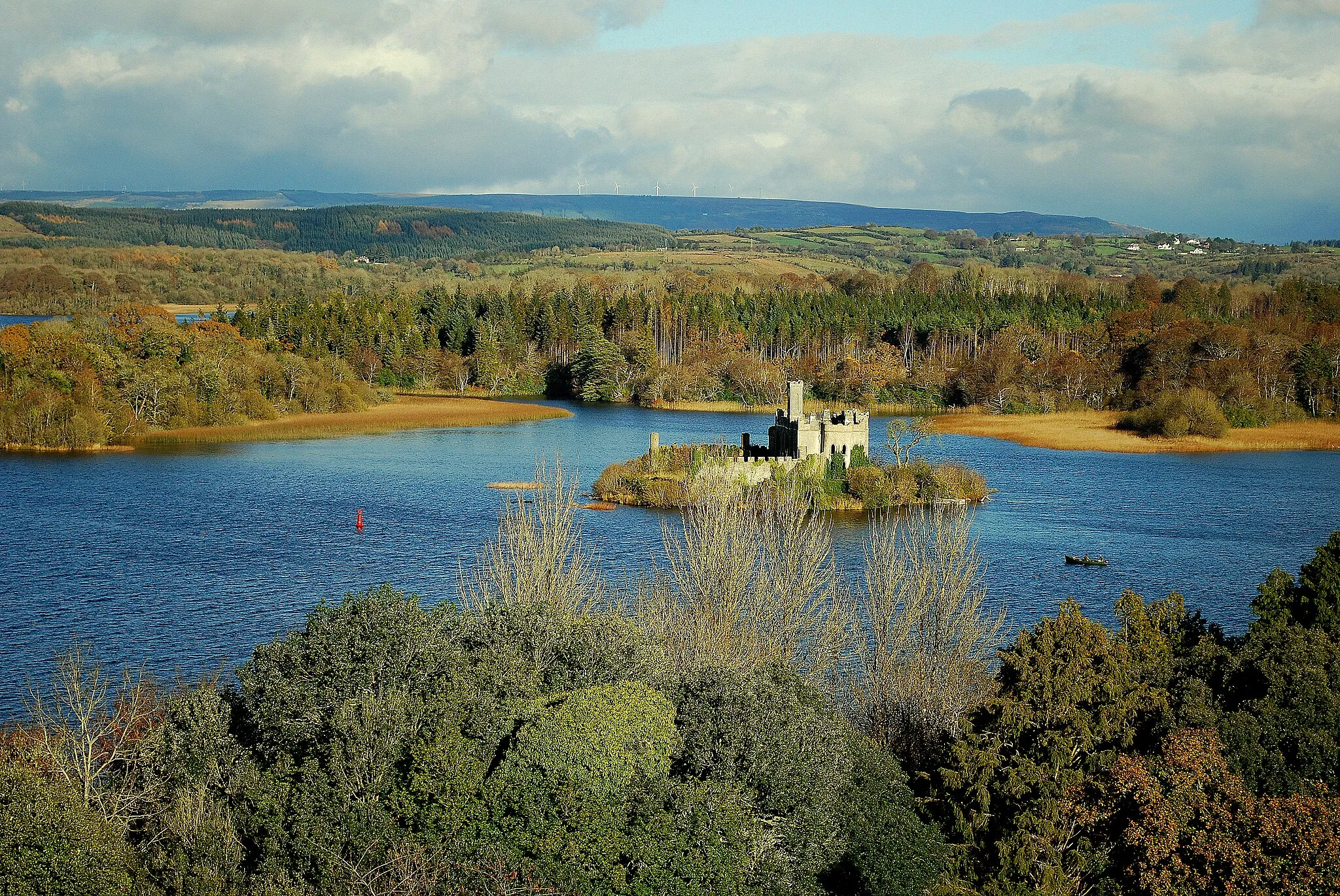
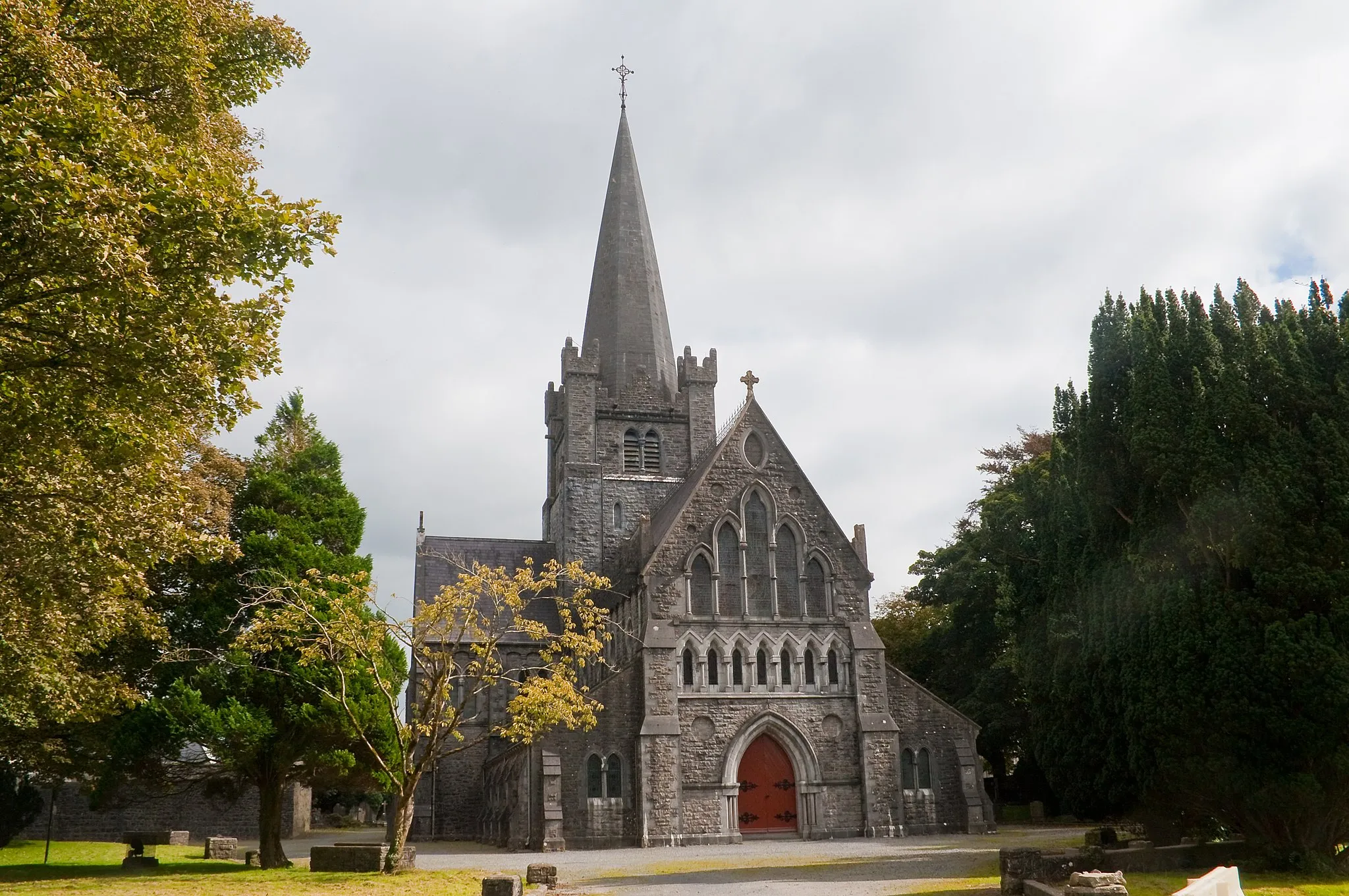
LoughglinnVillageMarvel at the scenic beauty of Loughglinn, a tranquil lake surrounded by rolling hills.
62 km
62 km
Finish: Castlerea City centerCastlerea: Explore Charming Towns and Countryside in Northern and Western Ireland
Cycling routes nearby: