The Ballynacarrow and Muckelty Hill Challenge
A road cycling route starting from Collooney
Embark on a challenging ride to Ballynacarrow and conquer the Muckelty Hill.
Map
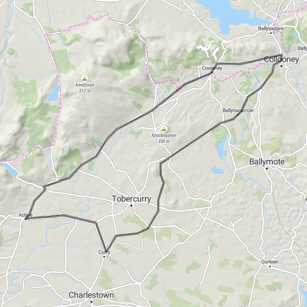
This 75 km road cycling route begins near Collooney and takes you through the picturesque countryside of Northern and Western Ireland. With an ascent of 339 meters, this route offers moderate challenges for cyclists. Along the way, you'll have the opportunity to visit Ballynacarrow, a charming village with historical significance. The highlight of the route is the ascent to Muckelty Hill, where you can enjoy panoramic views of the surrounding landscapes. Overall, this route provides a rewarding cycling experience with a mix of natural beauty and historical attractions.
road
75 km
339 m
Tough
Route profile
Highlights on the route
0 km
0 km
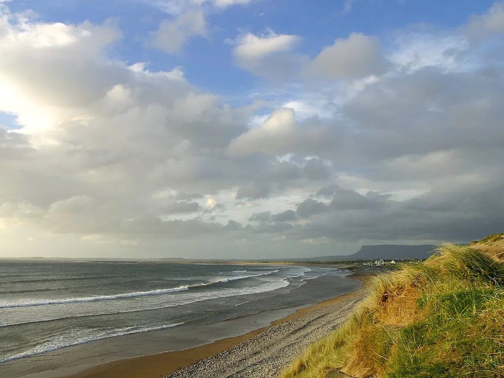
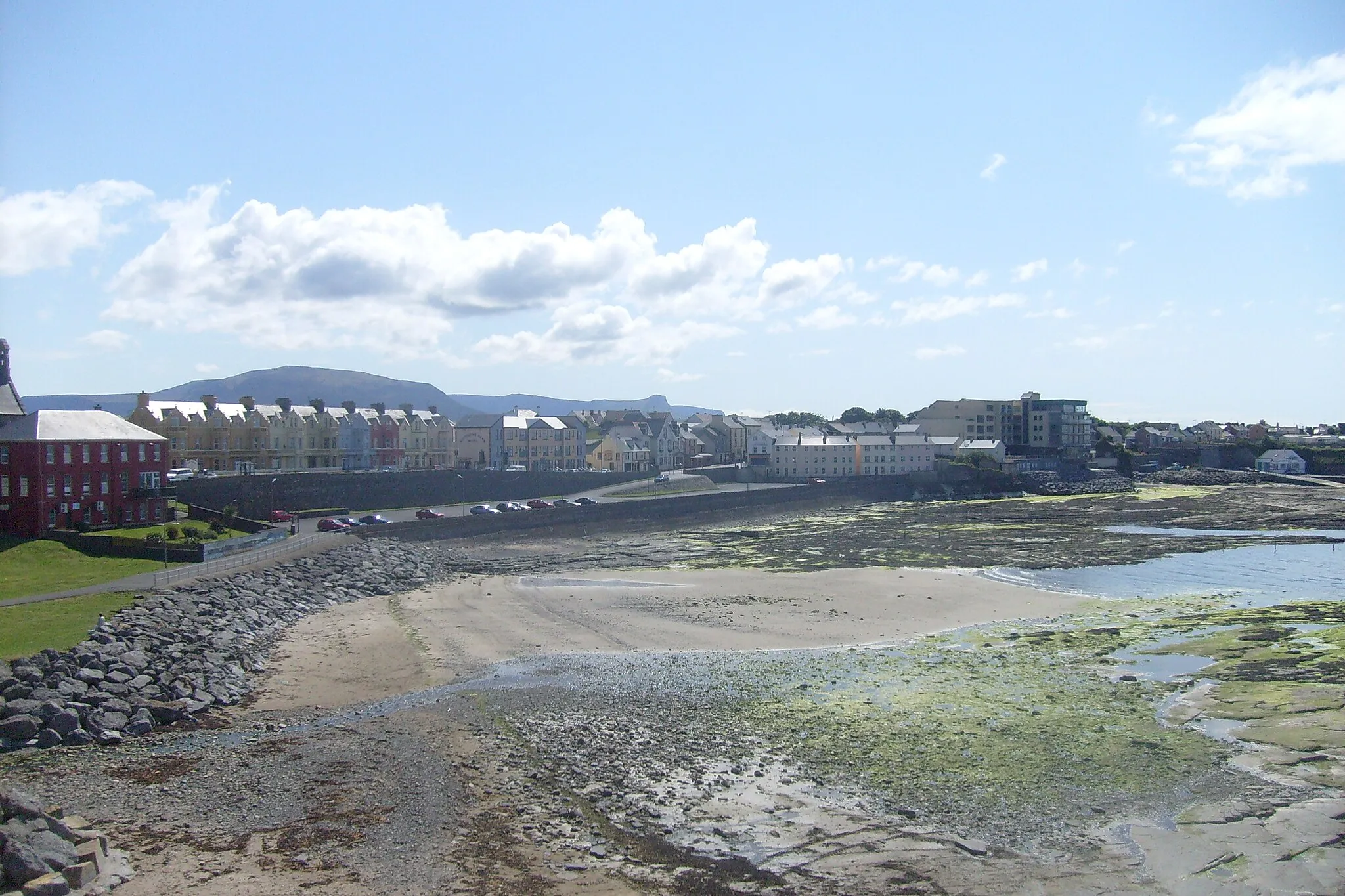
Start: Collooney City centerCollooney: Cycling Paradise in Northern and Western Ireland
Collooney, situated in Northern and Western Ireland, is a popular locality for road and gravel cycling. With its scenic coastal routes and challenging terrain, cyclists can enjoy a variety of rides in this area. One of the well-known climbs nearby is Knocknarea, which offers stunning views at the summit. Collooney also boasts a friendly cycling community and various cycling events throughout the year, making it a great destination for cyclists. Overall, Collooney is a cycling-friendly locality with beautiful landscapes and exciting routes to explore.7 km
7 km
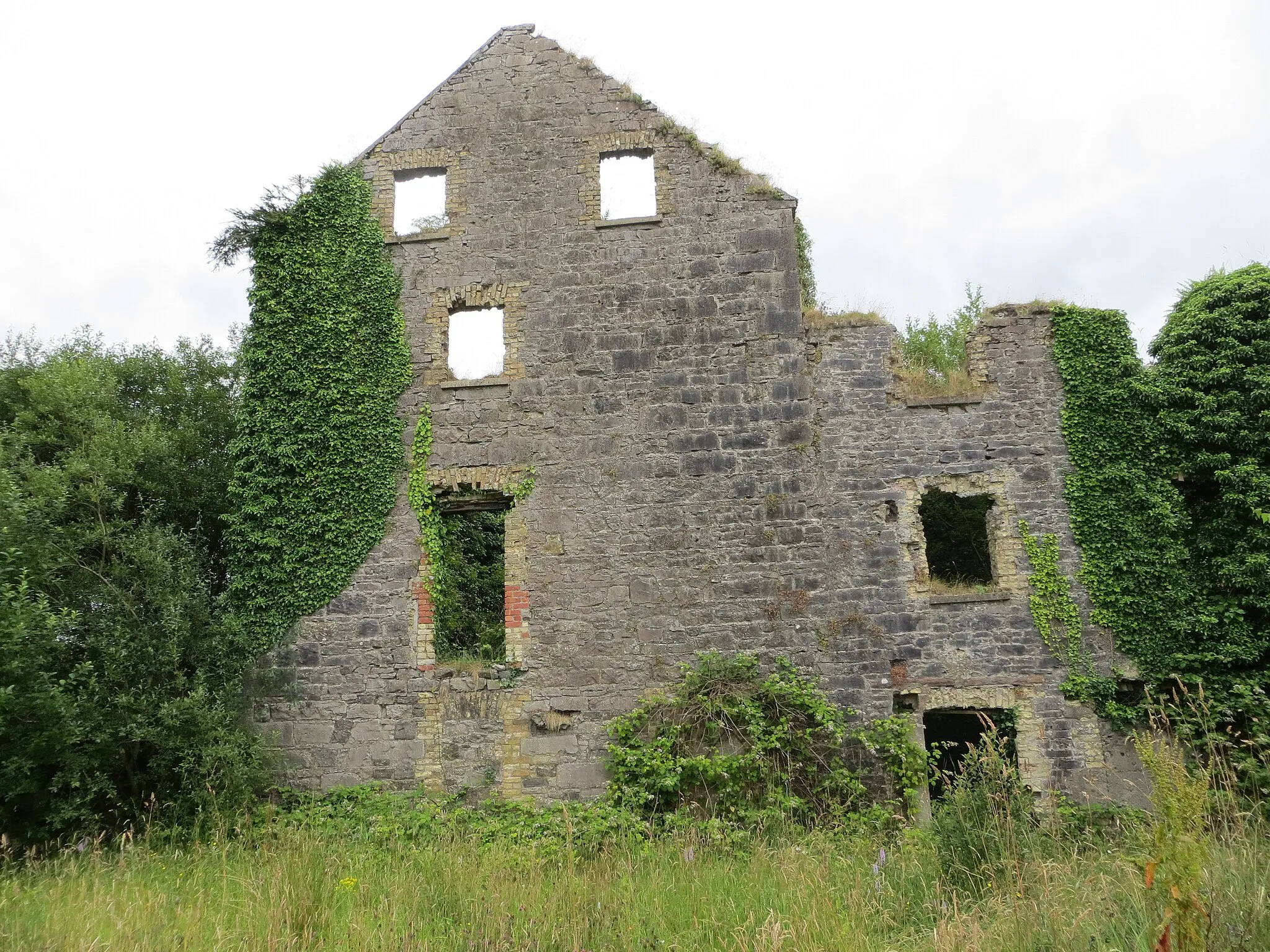
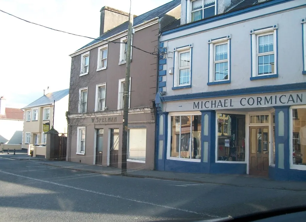
BallynacarrowVillageExplore the charming village of Ballynacarrow.
18 km
18 km
Muckelty Hill217 mPeakConquer the ascent to Muckelty Hill for stunning panoramic views.
29 km
29 km
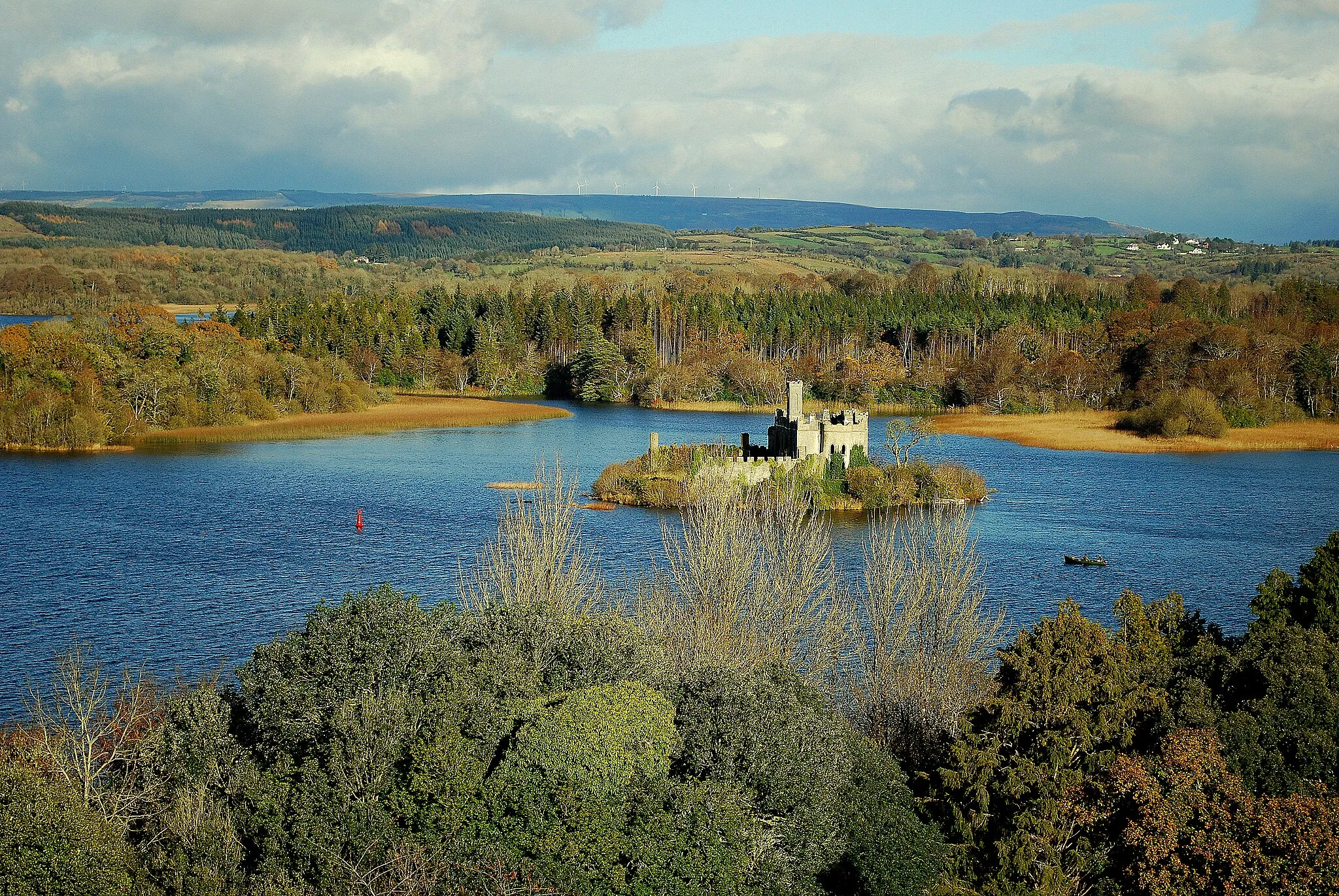
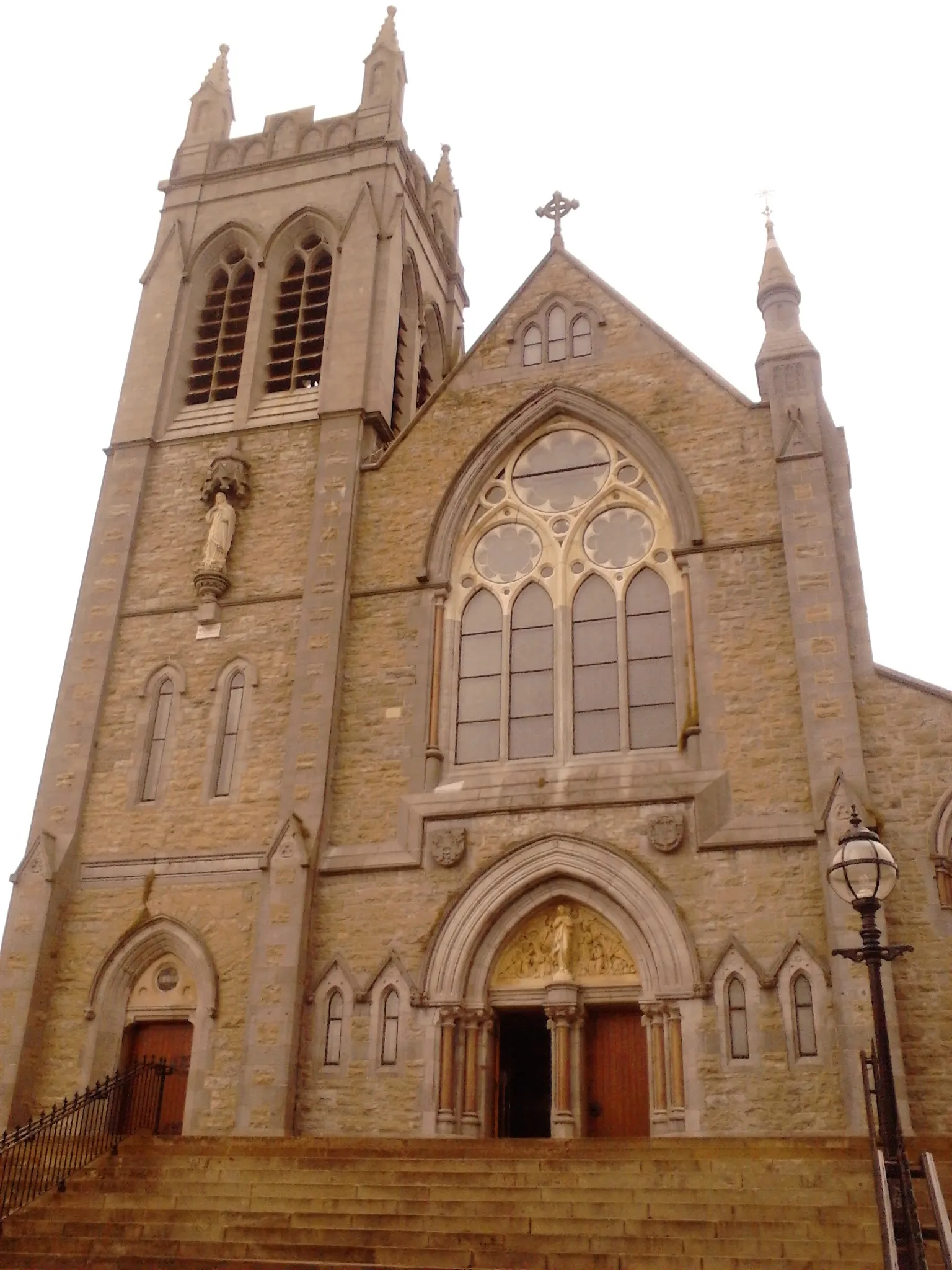
CurryVillageDiscover the historical sights of Curry along the route.
66 km
66 km
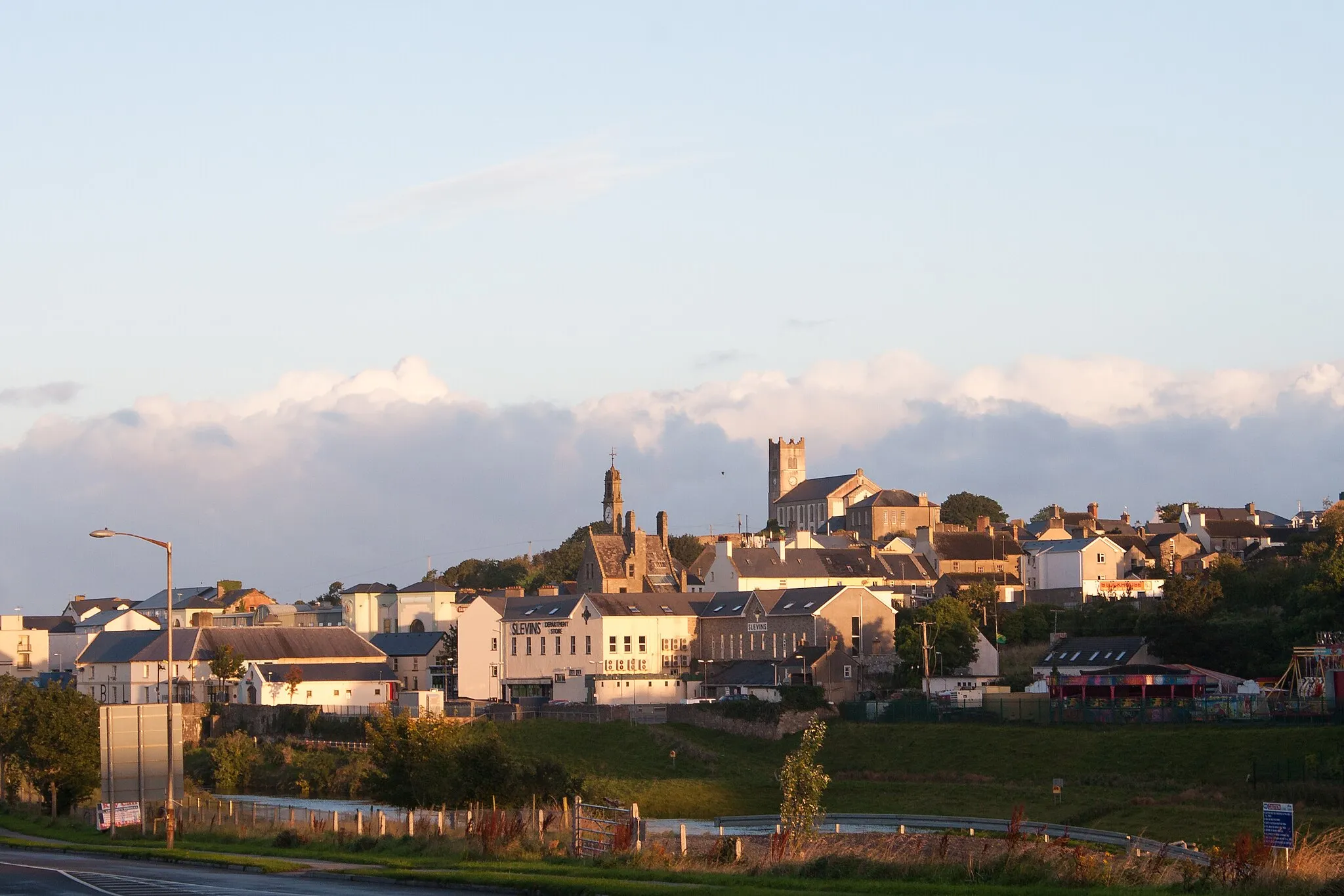
CoolaneyVillageCycle through the scenic village of Coolaney.
68 km
68 km
Tullaghan Hill130 mPeakEnjoy the challenge of the ascent to Tullaghan Hill.
75 km
75 km
Finish: Collooney City centerCollooney: Cycling Paradise in Northern and Western Ireland
Cycling routes from Collooney:
The Ballynacarrow and Muckelty Hill Challenge The Knocknashee and Sruffaungarve Top Loop Yeats Country Expedition The Ballynacarrow and Dromore West Loop The Sligo and Yeats Memorial Building Expedition Dromore Adventure Collooney Loop Sooey Adventure The Ballymote and Coolaney Adventure Lough Gill Adventure Markree Castle Loop
Cycling routes nearby: