The Owning Challenge
A road cycling route starting from Carrick-on-Suir
A thrilling road cycling route through scenic countryside
Map
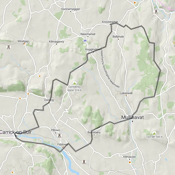
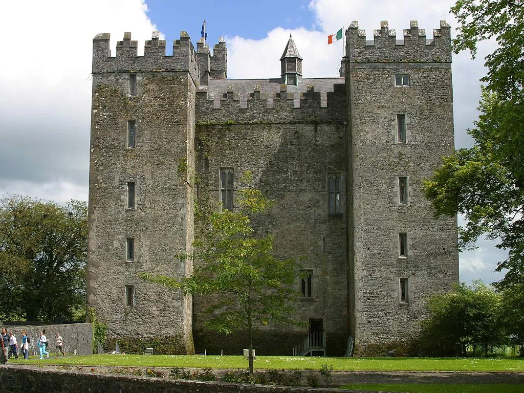
This challenging road cycling route offers breathtaking views as you climb the hills near Carrick-on-Suir. With a total ascent of 799 meters and a distance of 70 kilometers, this route is perfect for well-trained amateurs seeking a thrilling experience. The highlight of this route is Owning, a charming village with a rich history. As you cycle through Owning, take a moment to admire its picturesque landscapes and visit some of its historic landmarks. The loop also offers other highlights such as Hugginstown, Knocktopher, Mullinavat, Fiddown, and the majestic Ormonde Castle.
road
70 km
799 m
Tough
Route profile
Highlights on the route
0 km
0 km
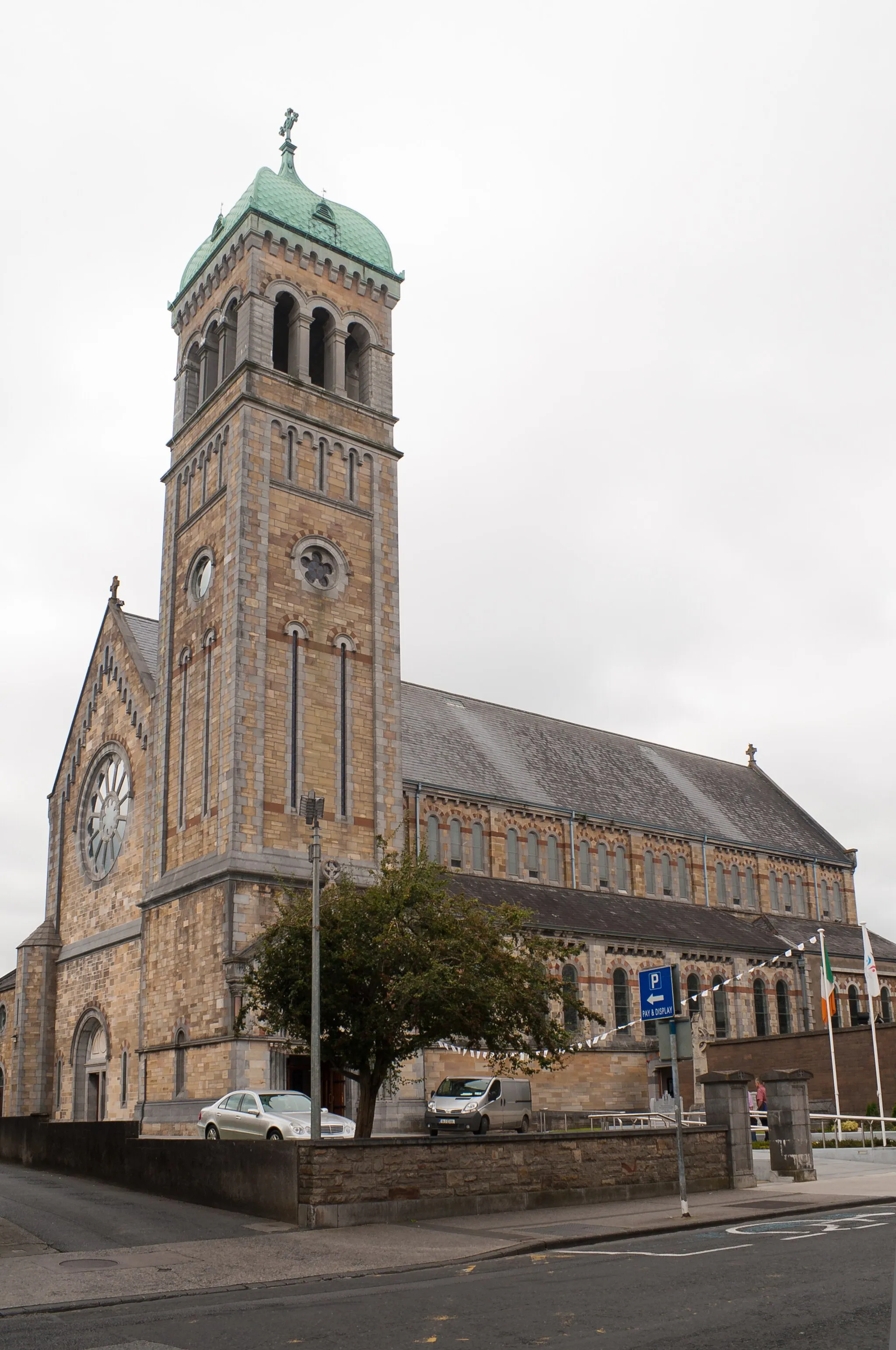
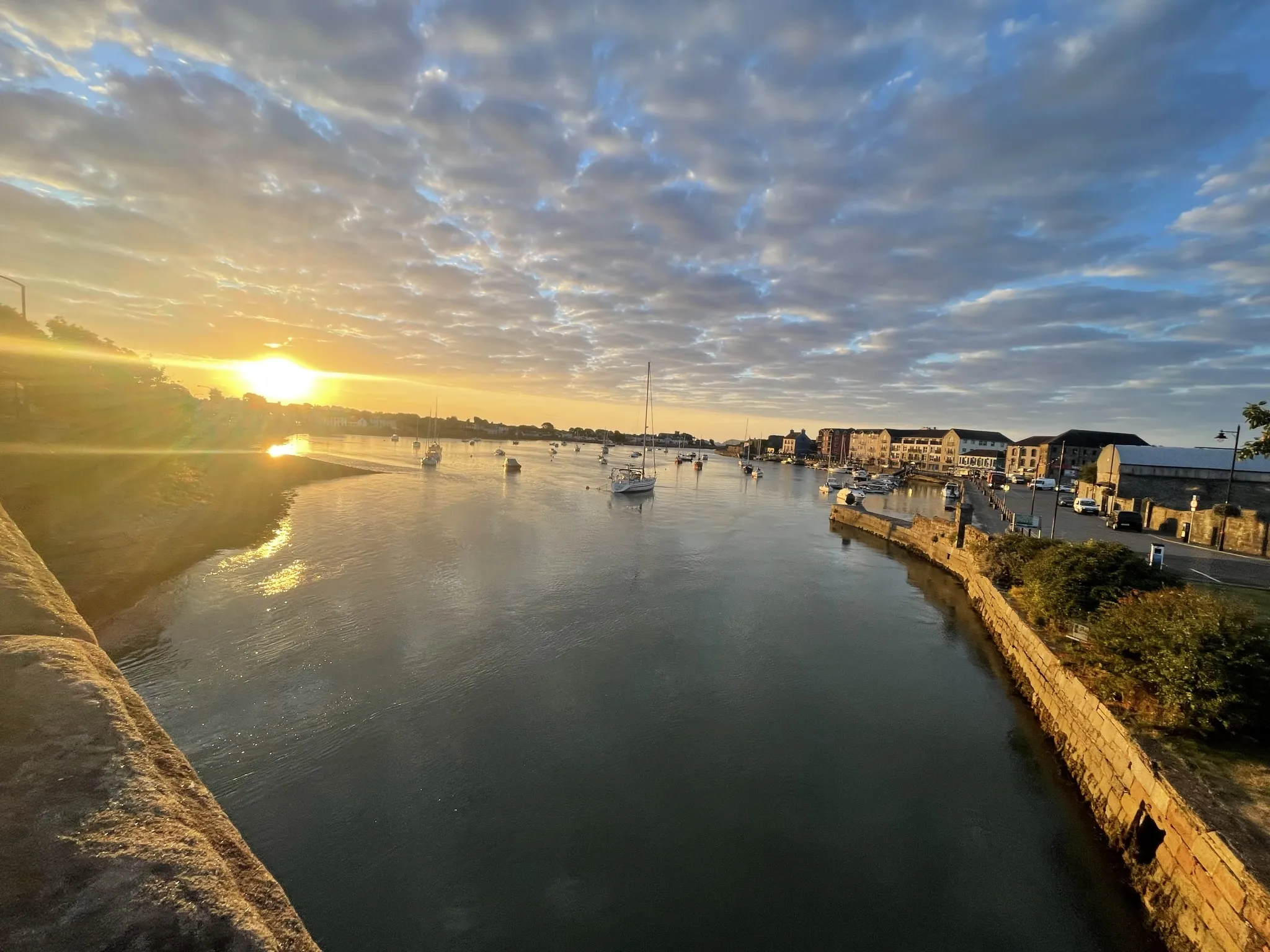
Start: Carrick-on-Suir City centerCarrick-on-Suir: Diverse cycling routes with access to Mount Melleray and a vibrant cycling community.
Carrick-on-Suir is a locality in Southern, Ireland. Road cyclists will appreciate Carrick-on-Suir's diverse range of cycling routes, suitable for both casual and experienced riders. The area offers picturesque countryside roads with a mix of flat and hilly terrain. Nearby, you can find the renowned climb of Mount Melleray, popular among cyclists for its challenging ascent. Carrick-on-Suir is also home to the Carrick Wheelers Cycling Club, which provides opportunities for group rides and cycling events. With its charming setting and cyclist-friendly atmosphere, Carrick-on-Suir is a great destination for both local and visiting cyclists.9 km
9 km
OwningVillageLocated on the route, Owning is a picturesque village with breathtaking views.
21 km
21 km
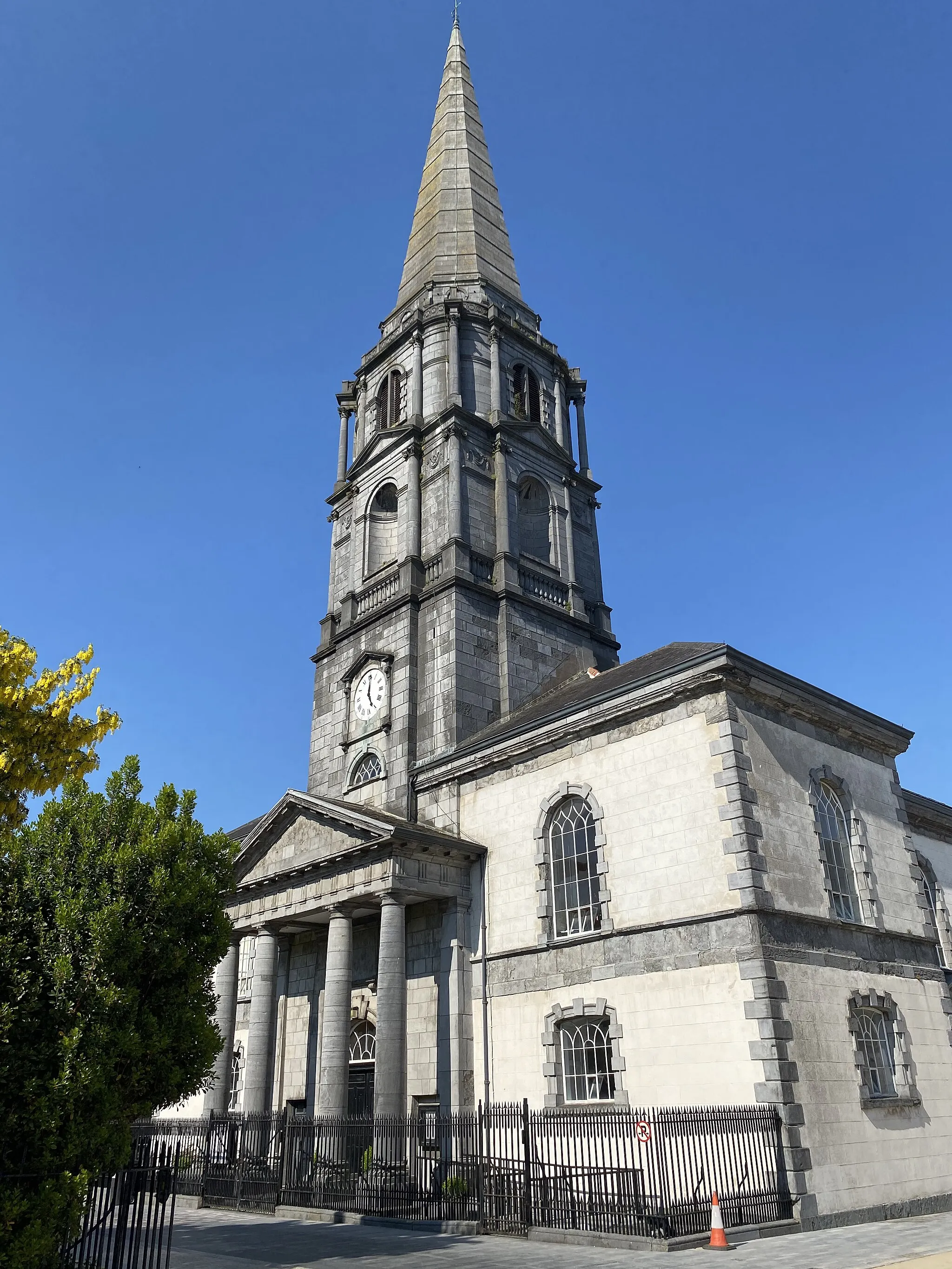
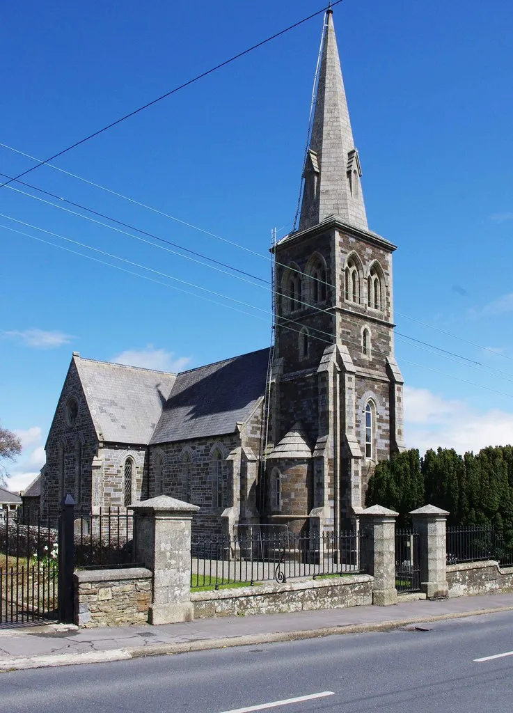
HugginstownVillageHugginstown is a quaint village known for its beautiful church and friendly atmosphere.
27 km
27 km
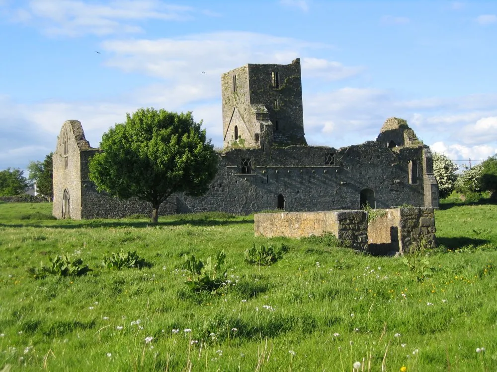
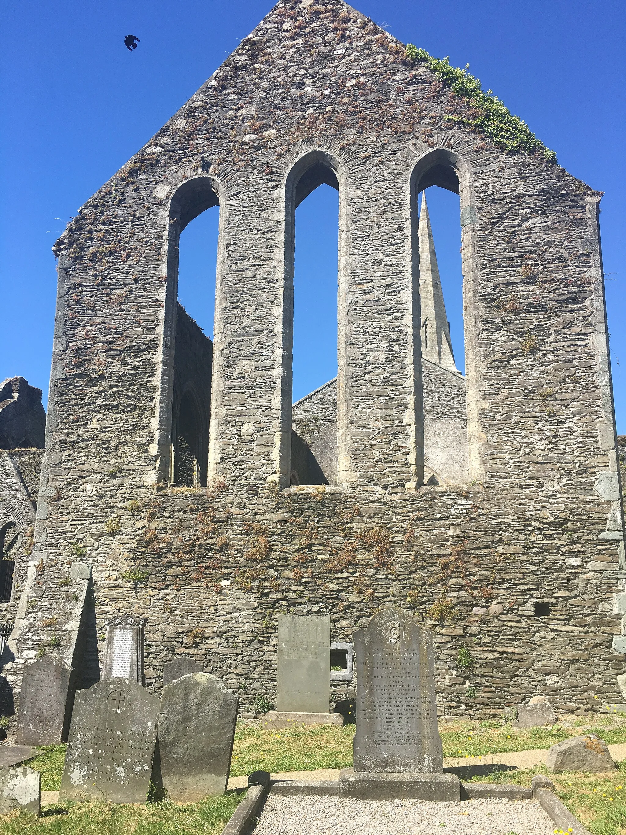
KnocktopherVillageKnocktopher is a historic village with an interesting medieval ruin.
48 km
48 km
MullinavatTownMullinavat is a lovely rural village surrounded by picturesque countryside.
61 km
61 km
FiddownVillageFiddown is a charming village nestled along the River Suir, offering stunning views.
69 km
69 km
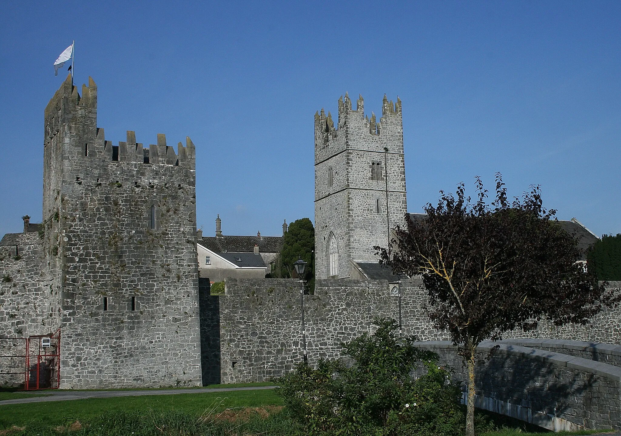
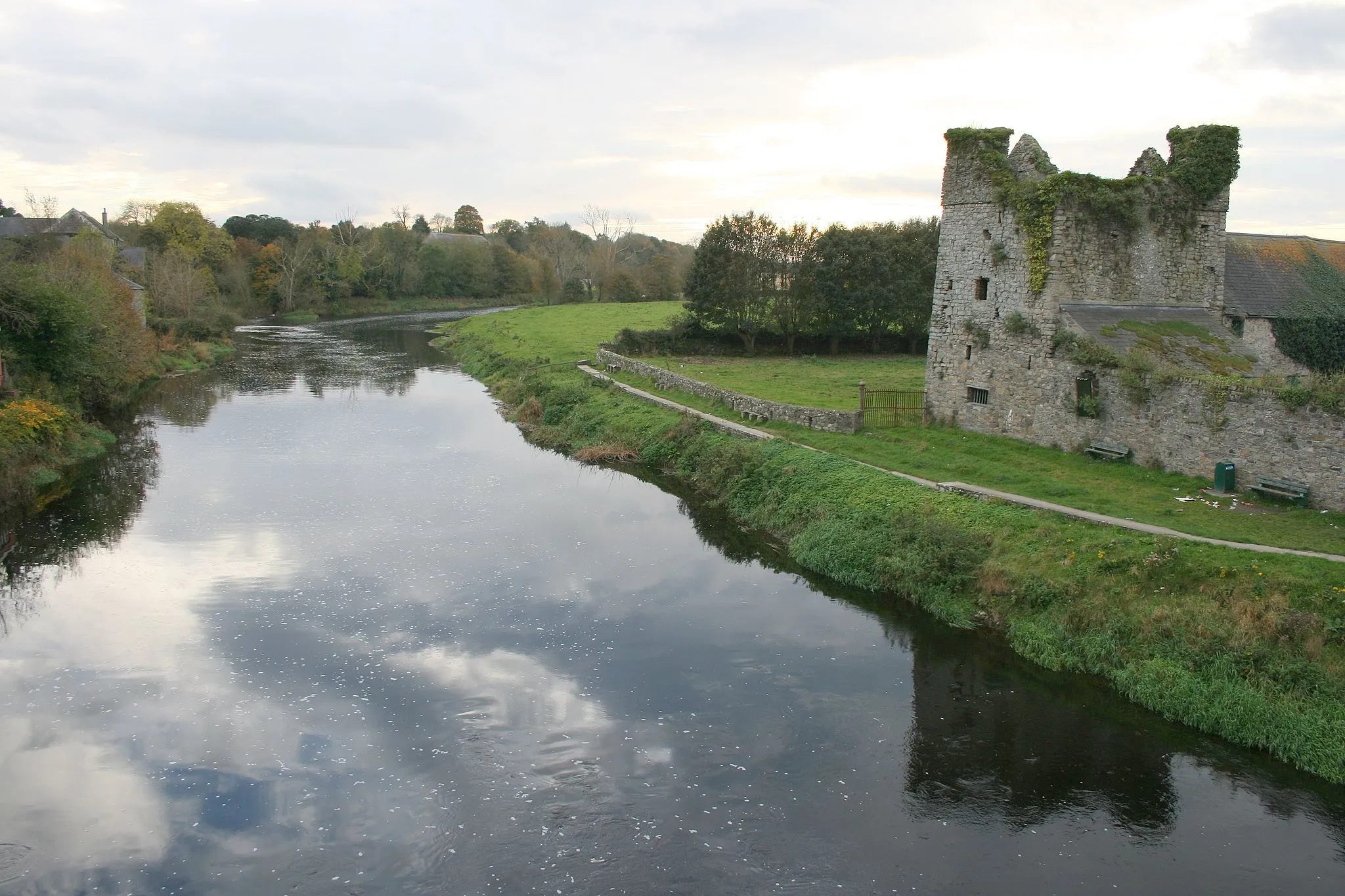
Ormonde CastleAttractionOrmonde Castle is a historic landmark that dates back to the 15th century.
70 km
70 km
Finish: Carrick-on-Suir City centerCarrick-on-Suir: Diverse cycling routes with access to Mount Melleray and a vibrant cycling community.
Cycling routes nearby: