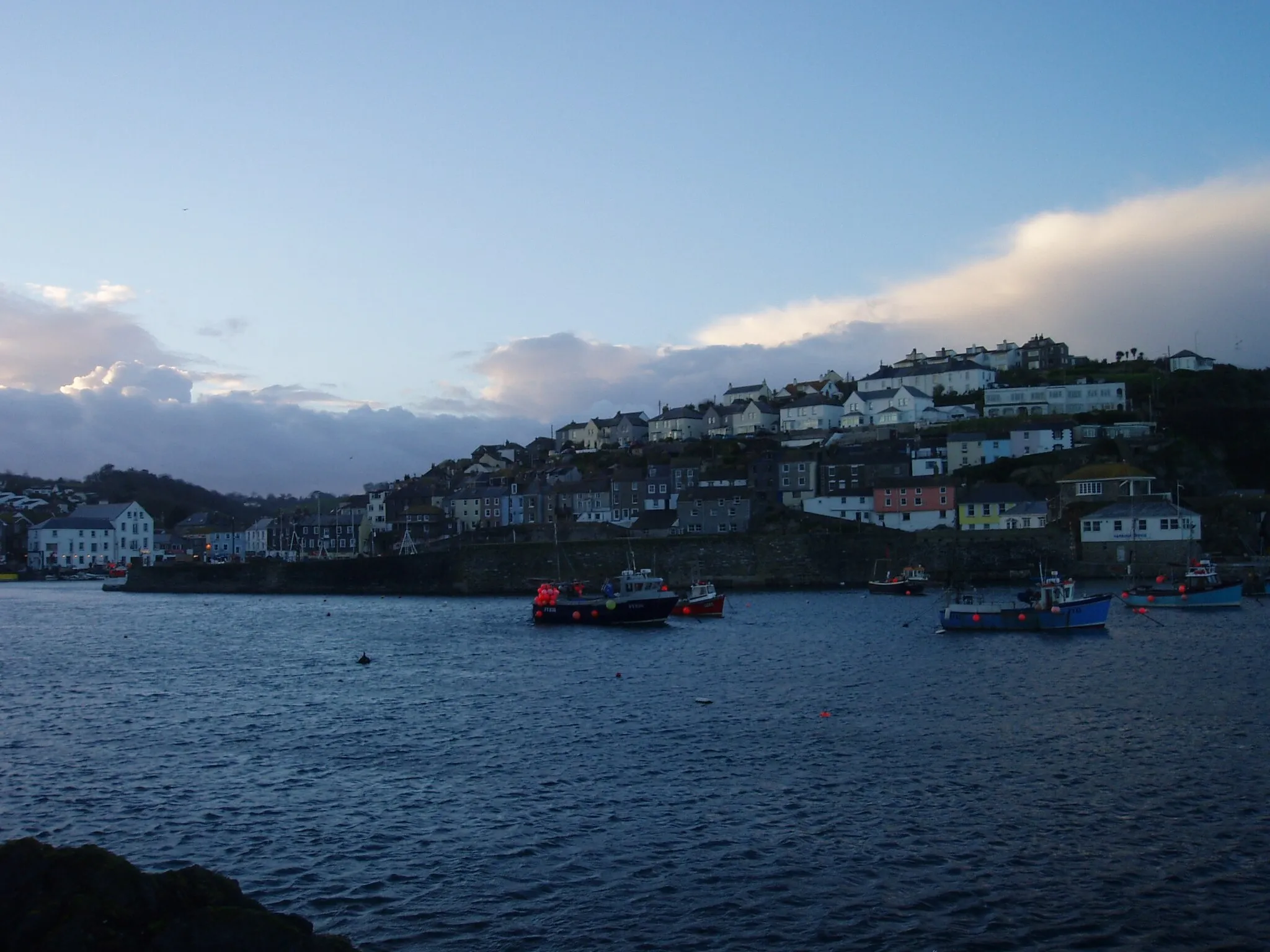
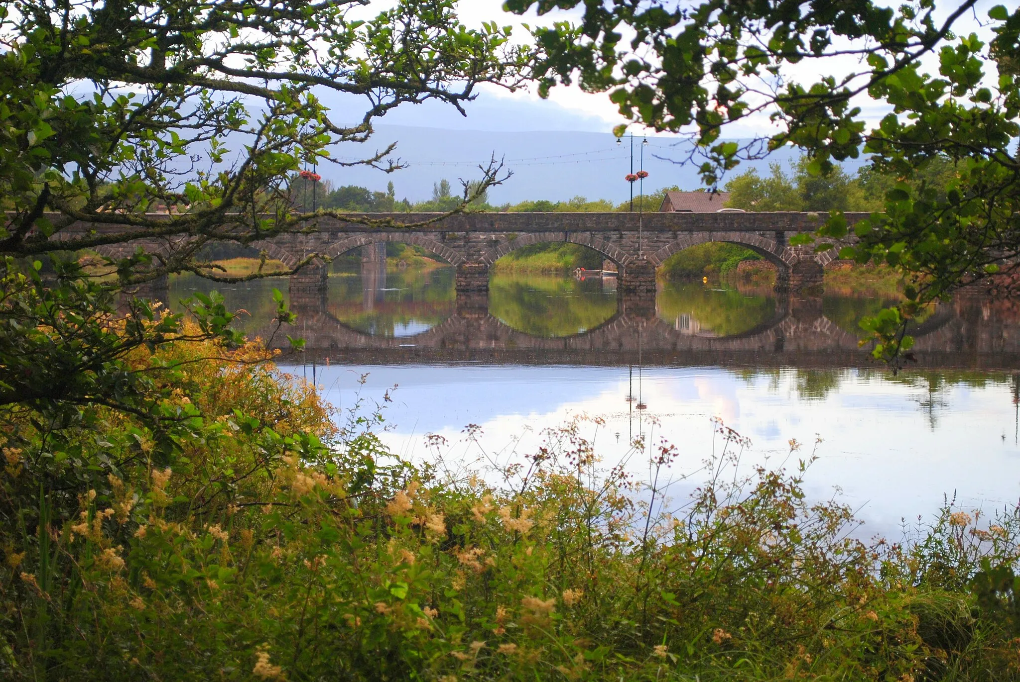
Cycling Paradise in Southern Ireland
Cycling routes from Tralee
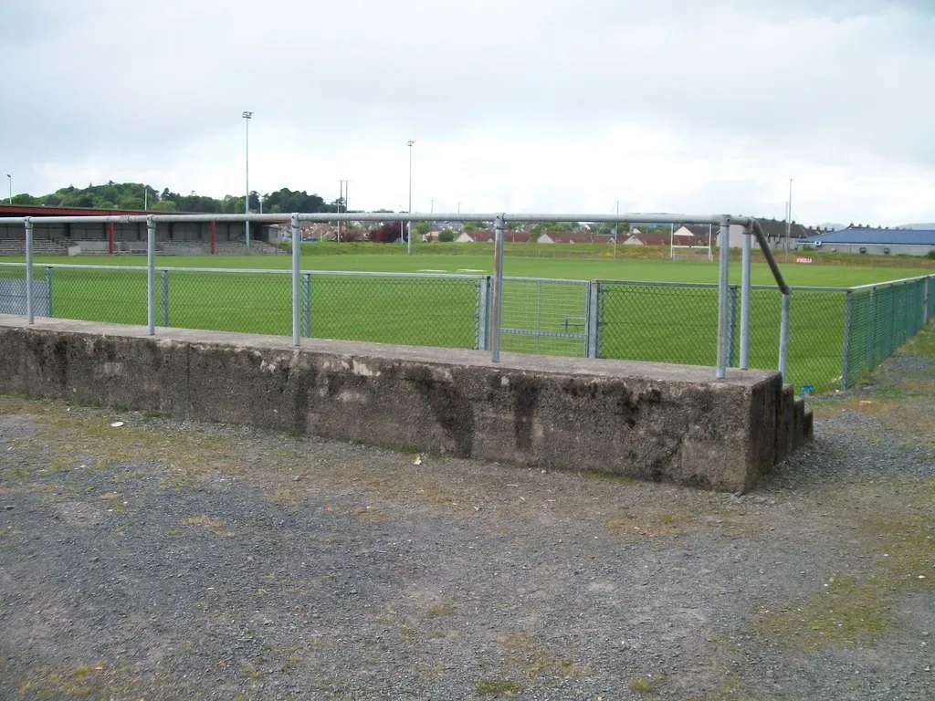
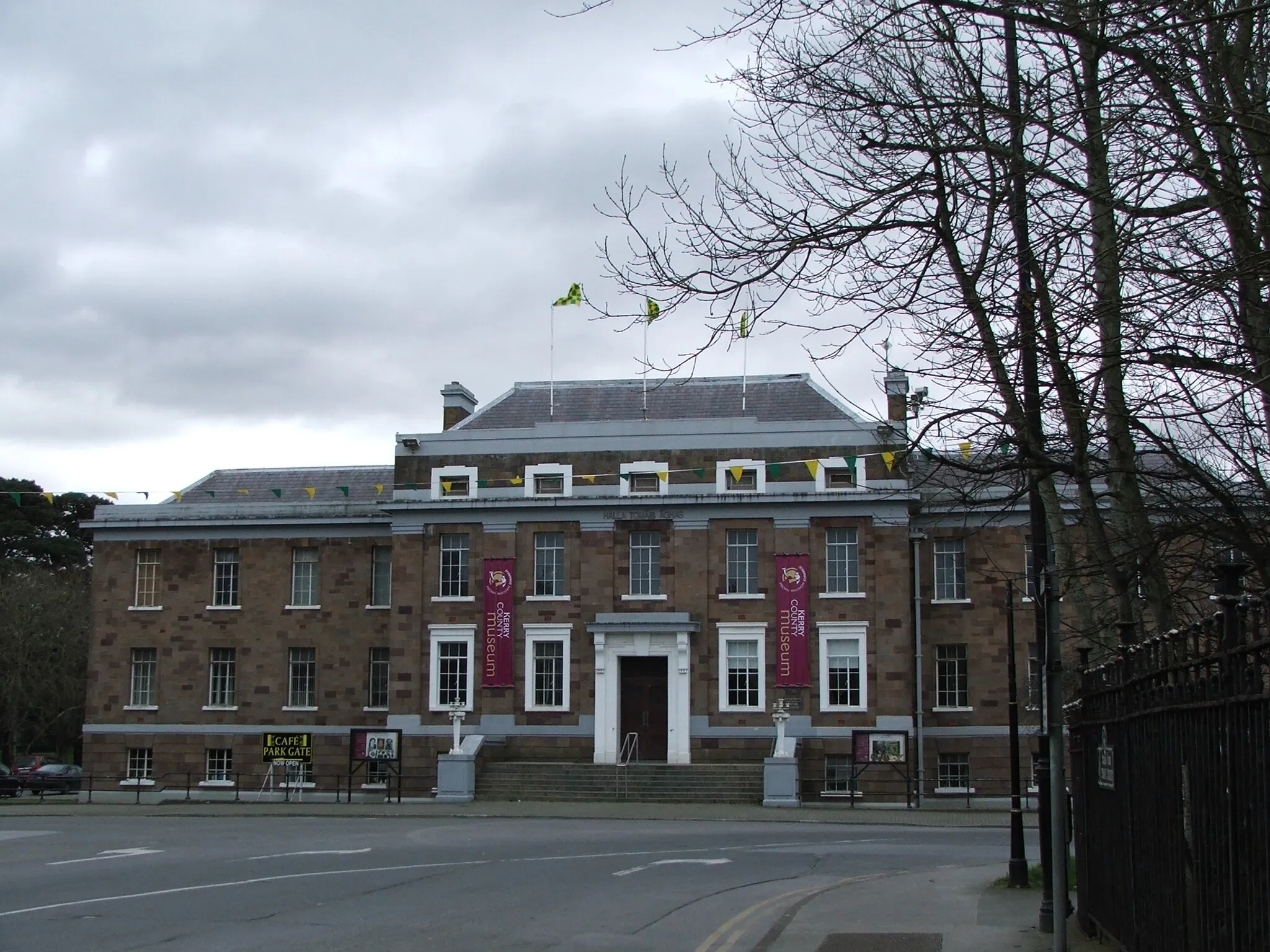
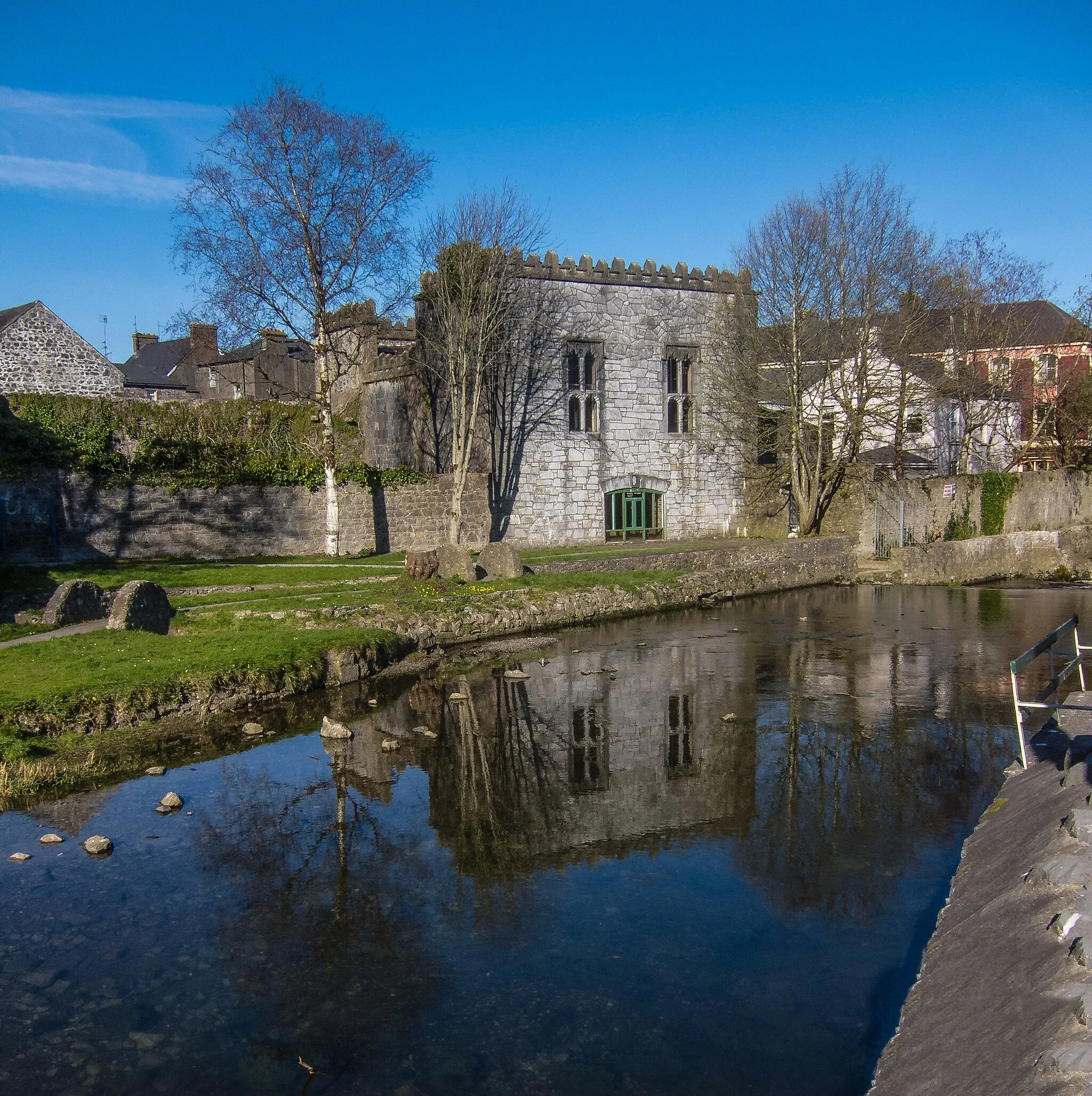
Tralee, located in Southern Ireland, is a fantastic locality for both road and gravel cyclists. With its mix of coastal and inland routes, cyclists can enjoy scenic rides through picturesque landscapes. Tralee is also home to the famous Conor Pass, one of Ireland's most challenging climbs, which attracts cyclists from all around the world. Along with its cycling-friendly infrastructure and welcoming atmosphere, Tralee is a top destination for cyclists looking for thrilling rides and stunning views.
The Killarney Challenge
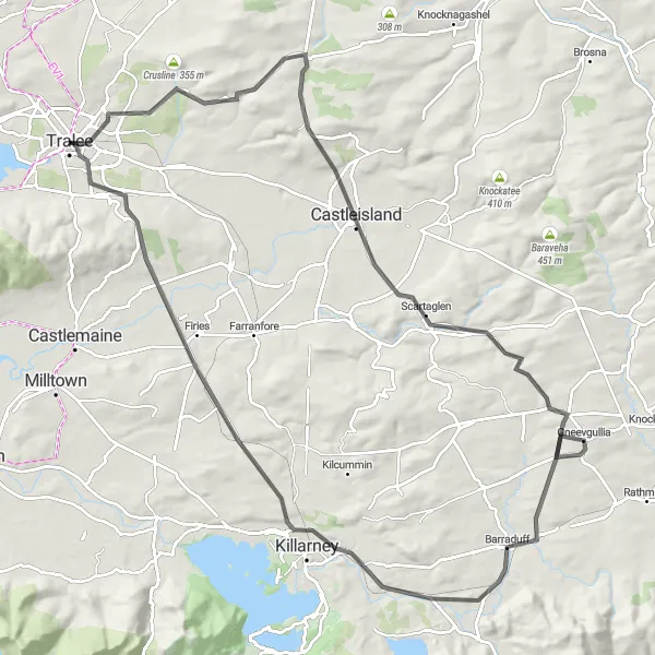
Test your endurance on the challenging Killarney route
Prepare for an epic cycling adventure with the Killarney Challenge. This demanding road route features an ascent of 1088 m and covers a distance of 104 km. Immerse yourself in the natural beauty of the Killarney National Park, home to lakes, mountains, and extensive hiking trails. Visit the town of Castleisland, known for its friendly locals and traditional Irish music sessions. Don't miss the chance to explore Tralee, a vibrant hub that offers a wide range of attractions and amenities.
The Castleisland Loop
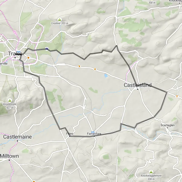
Discover the charming town of Castleisland on this scenic cycling route
This road cycling route is a 59 km loop starting near Tralee. The route takes you through the picturesque town of Castleisland, with an ascent of 557 m. It provides a moderate challenge for cyclists. The highlights along the route include Castleisland, a delightful town with a rich history; Farranfore, a scenic village known for its stunning landscapes; and Tralee, a bustling town with plenty of attractions.
The Castleisland Loop

Discover the beauty of Castleisland on this scenic cycling route
This route takes you through the picturesque town of Castleisland, where you can admire the historic buildings and vibrant atmosphere. With a moderate ascent and a distance of 52 km, this road route is suitable for well-trained amateur cyclists. Explore Farranfore, a charming village known for its traditional Irish pubs, and make sure to stop by Tralee, the bustling capital of County Kerry. Overall, this route offers a delightful mix of cultural sights and natural beauty.

Embark on a cycling adventure through Abbeydorney and Lixnaw
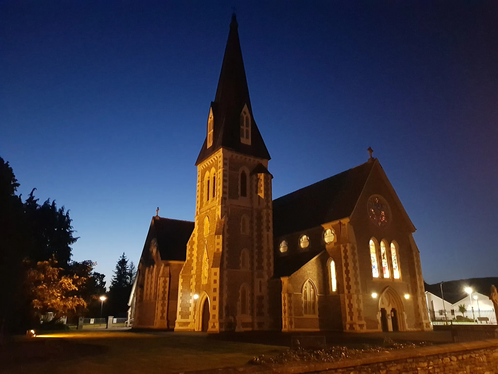
Get ready for a challenge as you tackle the hilly terrain of Abbeydorney and Lixnaw. With an ascent of 487 m and a distance of 62 km, this road route is best suited for experienced cyclists. Abbeydorney is home to the historic St. Bernard's Church, while Lixnaw offers breathtaking views of the countryside. Finish your ride at the luxurious Ballyseede Castle Hotel, where you can indulge in a well-deserved rest.
The Annascaul Circuit

Explore the scenic beauty of Annascaul and enjoy peaceful countryside views
Starting near Tralee, this road cycling route takes you through the picturesque village of Annascaul. With a total distance of 69 km and an ascent of 717 m, this route provides a moderate challenge for cyclists. The highlights along the route include Annascaul, a tranquil village with stunning countryside views; Corrin, a small town known for its historic architecture; Camp, a charming village situated in a valley; and Tralee, the starting and ending point of the route.
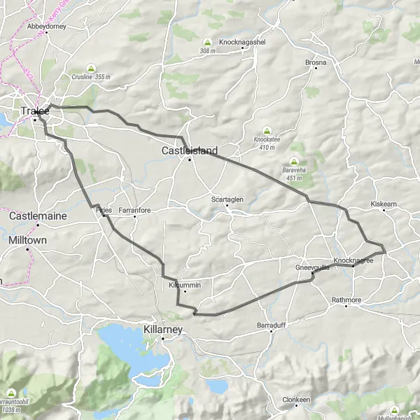
Conquer the challenging terrain of Knocknagree and Firies
Prepare for a grueling adventure through the challenging terrain of Knocknagree and Firies. This road route covers 100 km, with an ascent of 1177 m, making it a true test of endurance. Knocknagree offers stunning views of the Paps Mountains, while the village of Firies is known for its traditional music sessions. Don't miss the chance to explore Castleisland, a town steeped in history and home to fascinating archaeological sites. Finish your journey in Tralee, a lively destination with a vibrant food and pub scene.

Experience the dramatic beauty of the Ring of Kerry on this challenging road cycling route.
The Ring of Kerry Challenge takes you along the famous Ring of Kerry, showcasing the stunning landscapes of southern Ireland. With an ascent of 914 meters and a distance of 76 kilometers, this route is a test of endurance for even the most well-trained amateur cyclists. Pedal through quaint Irish villages, cycle along picturesque coastal roads, and marvel at ancient Ogham Stones along the way. The difficulty level of this route is rated at 4, making it a challenging but rewarding ride.
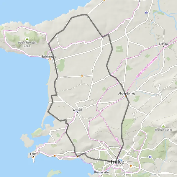
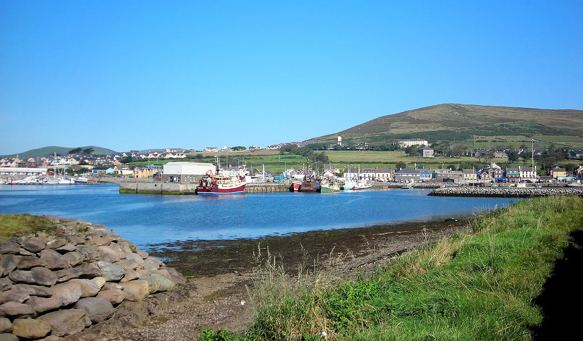
Cycle through the coastal town of Ballyheigue and enjoy beautiful views of the Atlantic Ocean
This road cycling route near Tralee covers a distance of 54 km and includes an ascent of 355 m. It provides a relatively easy ride for cyclists, with scenic coastal views along the way. The highlights include Ballyheigue, a charming coastal town with a long sandy beach; Causeway, known for its stunning cliffs and rock formations; Abbeydorney, a historic village with a rich heritage; and Tralee, the starting point and vibrant county town of Kerry.
The Dingle Peninsula Loop
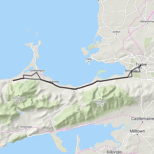
Embark on a scenic road cycling adventure around the captivating Dingle Peninsula.
The Dingle Peninsula Loop offers breathtaking vistas of rugged coastal cliffs, golden sandy beaches, and picturesque islands. Covering a distance of 61 kilometers with an ascent of 252 meters, this route is perfect for intermediate cyclists seeking a moderate challenge. Visit the historic Blennerville Windmill, an iconic landmark that once played a vital role in the region's corn production. Admire the beauty of Bothar na gcloch, a scenic road lined with charming stone walls. Explore the quaint village of Castlegregory and take in the serene natural beauty of the Camp area. The difficulty level of this route is rated at 3, making it suitable for moderately experienced cyclists.

Conquer the challenging ascent of Knockawarriga Mountain on this epic cycling route
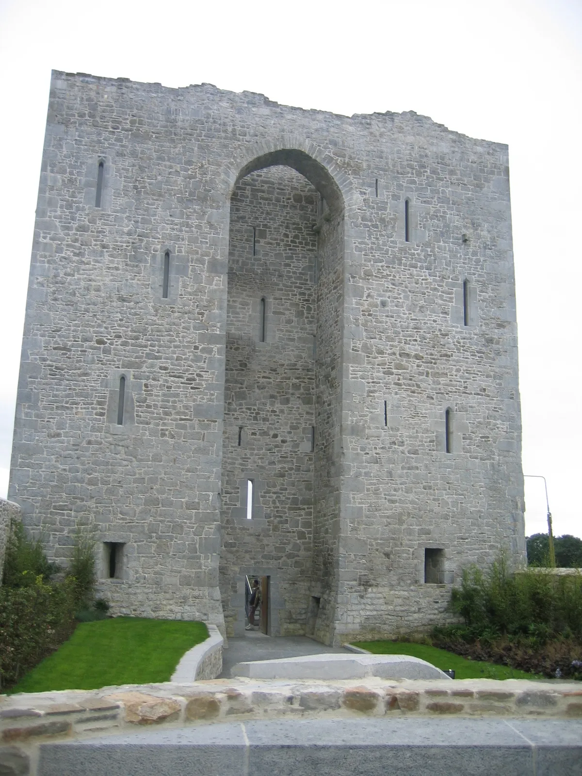
This road cycling route near Tralee covers a distance of 109 km and includes a challenging ascent of 1204 m up Knockawarriga Mountain. It is recommended for experienced cyclists looking for a difficult ride. The highlights along the route include Knockawarriga Mountain, a tough and rewarding climb; Mount Eagle, offering breathtaking views of the surrounding countryside; Kilmurry Castle, a picturesque castle with beautiful grounds; and Tralee, the starting and ending point of the route.
Cycling routes nearby:


Nearby regions: