Scenic and challenging cycling in Killorglin, Ireland.
Cycling routes from Killorglin
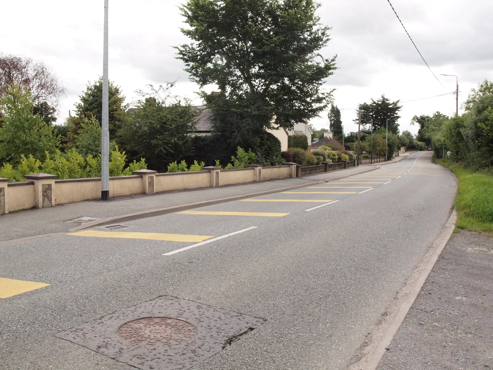
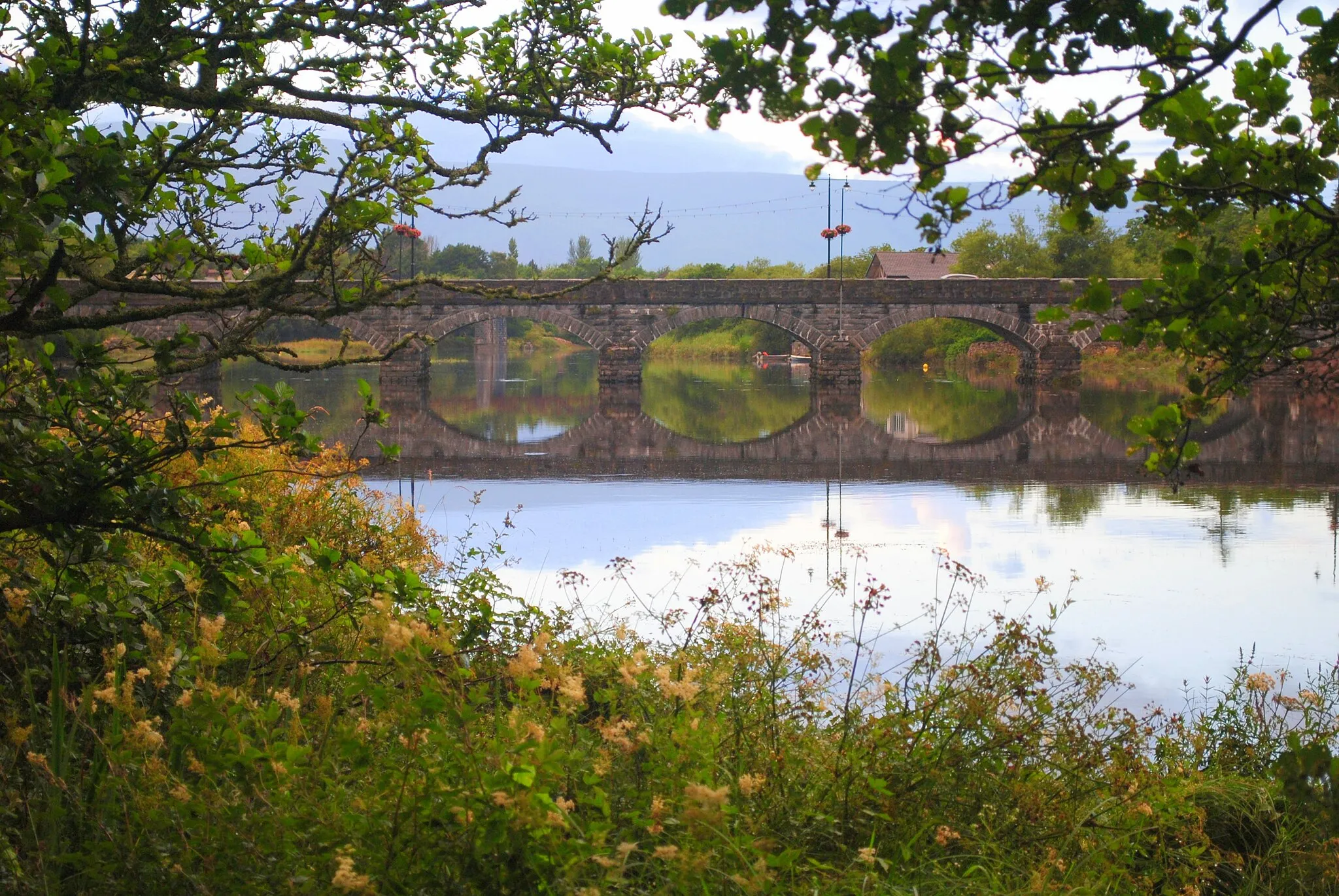
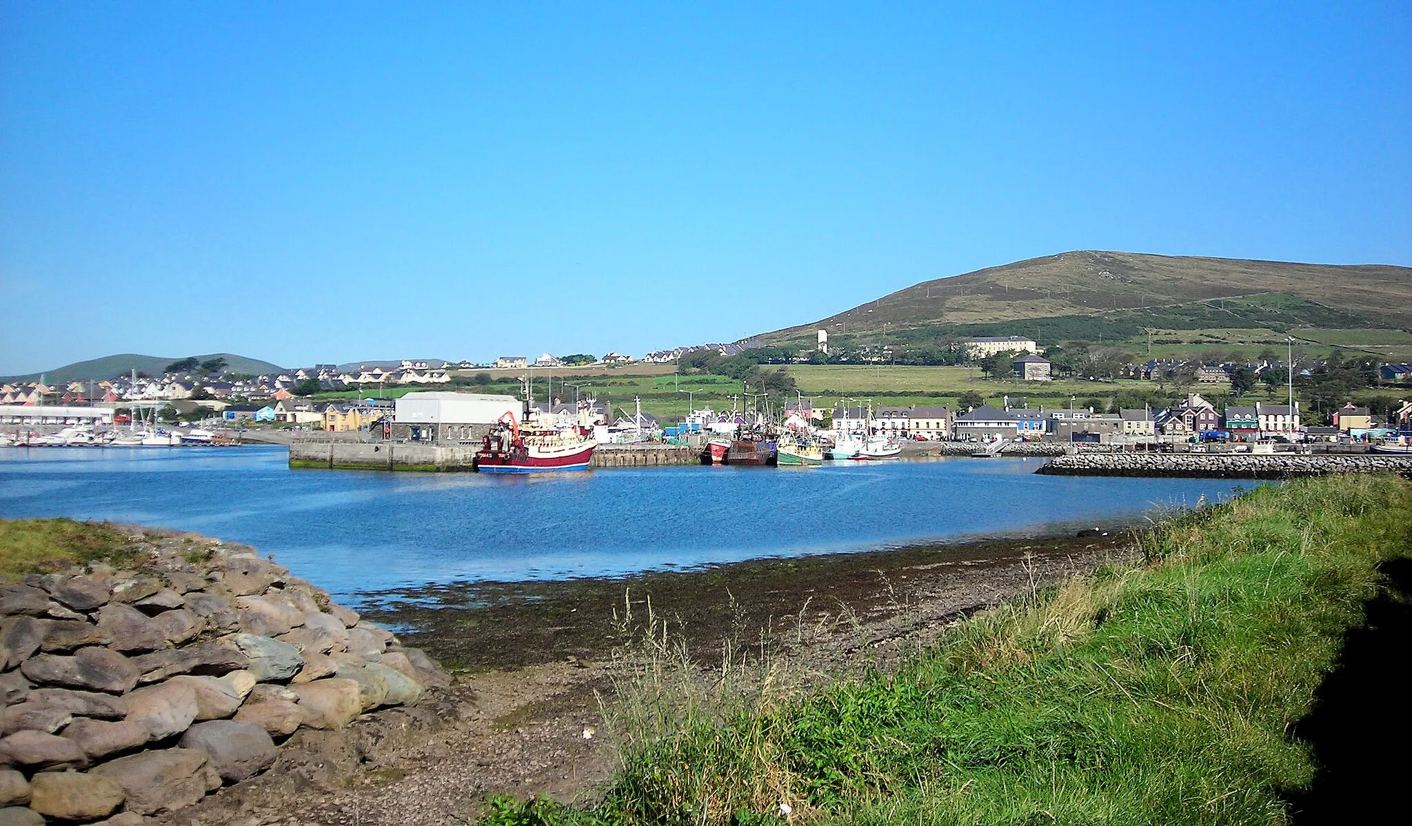
Killorglin is situated in the Southern region of Ireland. It offers a picturesque setting for both road and gravel cyclists. The town is surrounded by stunning mountain ranges and scenic routes. Road cyclists can enjoy the well-maintained roads with beautiful views of the surrounding countryside. Gravel cyclists can explore the nearby trails and paths through the mountains and forests. Killorglin is a great destination for cyclists seeking both natural beauty and challenging routes. Nearby, there is the famous Conor Pass, one of Ireland's most renowned climbs.
Embark on an epic adventure through breathtaking landscapes and challenging terrains
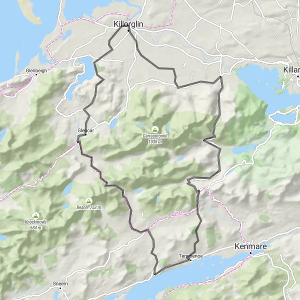
This road cycling route promises an unforgettable adventure through awe-inspiring landscapes and demanding terrains. With its substantial ascent and impressive distance, this route is suited for seasoned cyclists seeking a thrilling challenge. Highlights along the way include the mesmerizing Ogham Stones, the historic Dromore Castle, and the breathtaking Ballaghbeama Gap. The epicness factor of this route is strongly emphasized by its difficulty level, promising an exceptional and rewarding cycling experience. The journey concludes in Killorglin, where you can savor a well-deserved rest and immerse yourself in the town's vibrant atmosphere.
A picturesque route highlighting the stunning landscapes of the Ring of Kerry.
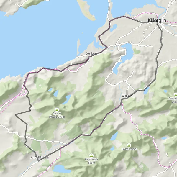
The Ring of Kerry is a must-visit for any cycling enthusiast. This 141 km route takes you through the scenic landscapes of the Ring of Kerry, offering breathtaking views of the coastline, mountains, and charming villages along the way. The route starts near Killorglin and passes through Castlemaine, Ballyseede Castle Hotel, Killarney, and ends back in Killorglin. It is a challenging ride with a total ascent of 1331 meters, suitable for experienced cyclists. Don't miss the opportunity to explore the famous Killarney National Park and its stunning lakes.
Explore the scenic countryside as you cycle on this road route, passing through lovely towns and historic sites
Embark on a journey through the picturesque countryside surrounding Killorglin with this road cycling route. As you pedal through charming towns, such as Castlemaine and Farranfore, you'll witness the beauty of the region and its intriguing historical highlights. Suitable for moderately trained cyclists, this route offers a mix of hilly segments and relaxing stretches. The epicness rating adds to the allure of this delightful cycling experience.
A scenic loop with stunning views and a challenging climb up Knocknabrone Hill
Discover the beauty of Killorglin and its surrounding countryside on this road cycling route. This loop takes you through picturesque landscapes, quaint villages, and offers breathtaking views along the way. The highlight of the route is the ascent of Knocknabrone Hill, providing a real challenge for experienced cyclists. With a moderate difficulty level and epicness factor, this route promises a memorable cycling experience.
The Castleisland Loop
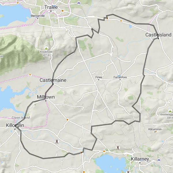
A scenic ride through historic sites and stunning landscapes.
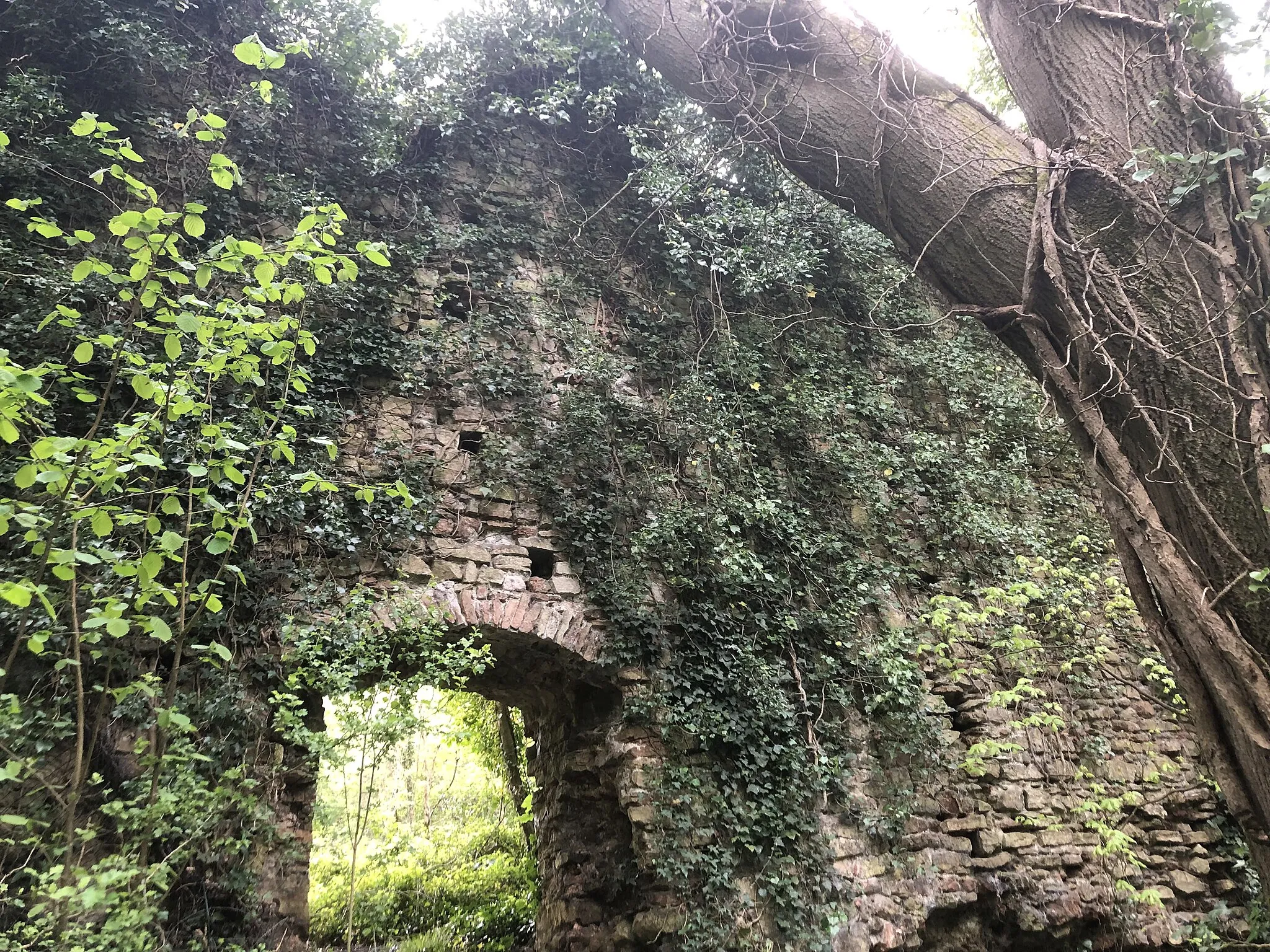
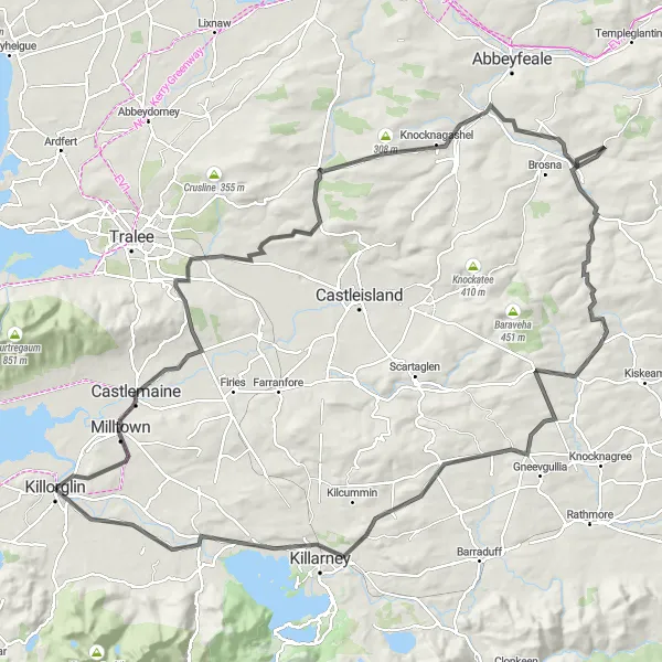
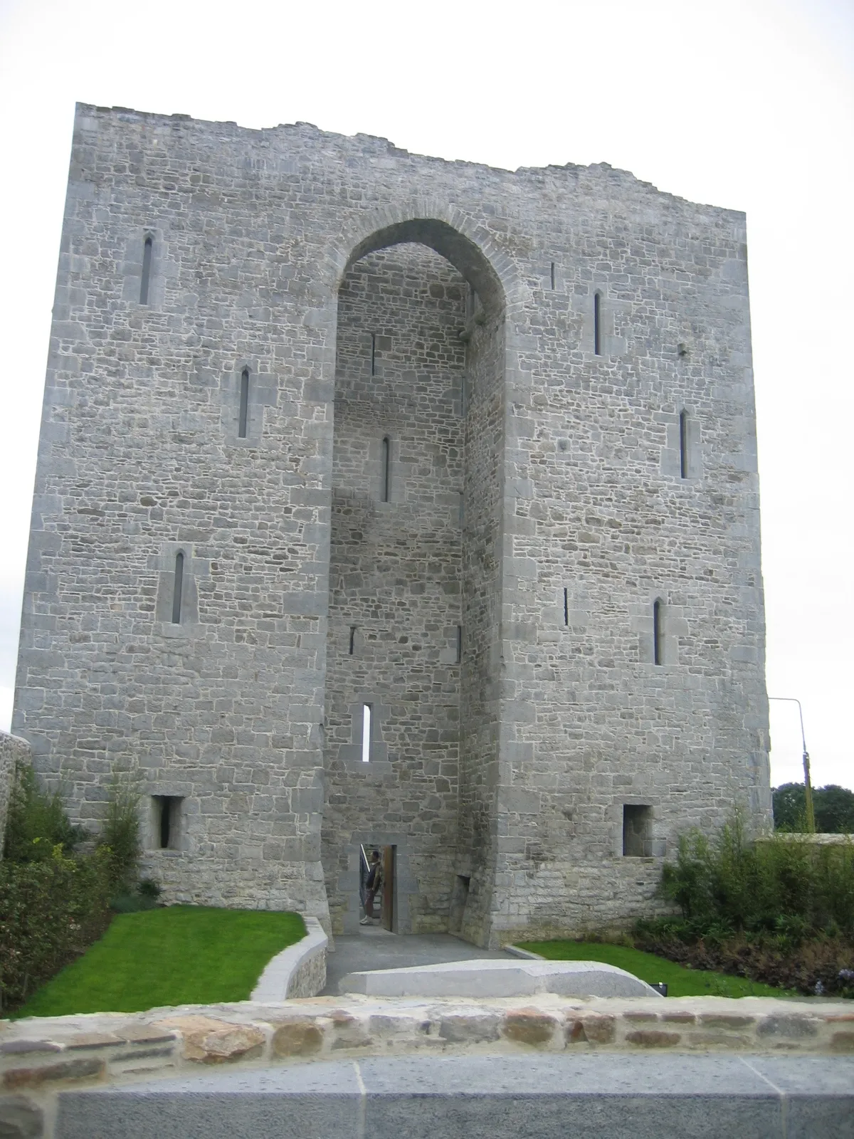
Discover the charm of Castleisland and its surrounding landscapes on this 82 km cycling route. Starting near Killorglin, the route takes you through Castlemaine, Castleisland, Ogham Stones, and ends back in Killorglin. With a total ascent of 668 meters, it is suitable for intermediate cyclists. Don't miss the chance to explore Castleisland, a town steeped in history and known for its impressive ruins of the Desmond Castle. The Ogham Stones, inscribed with ancient Irish language script, provide a fascinating insight into Ireland's early heritage.
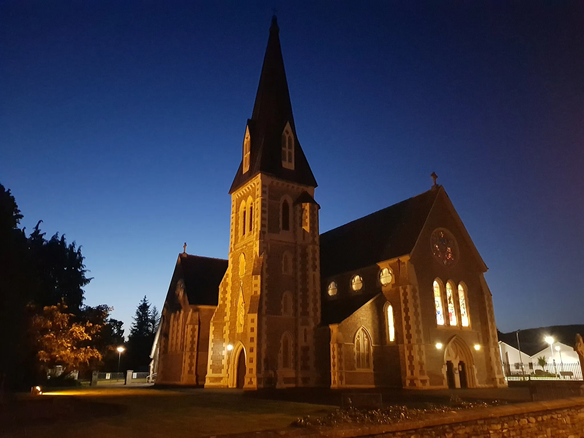
The Dingle Peninsula Adventure
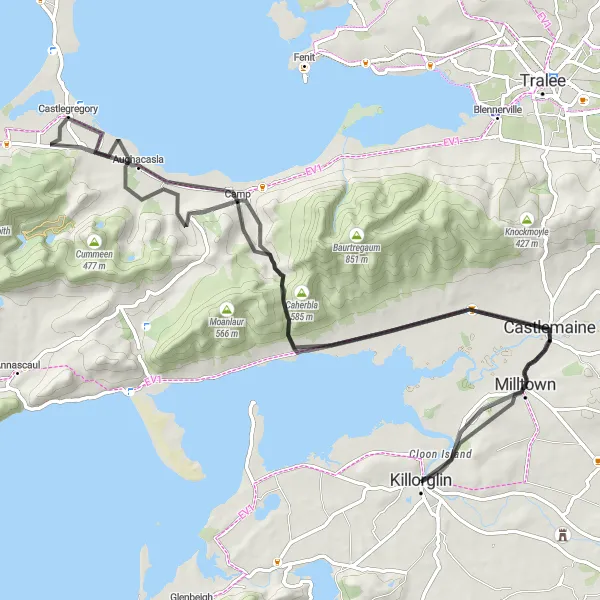
Embark on a thrilling cycling adventure through the scenic Dingle Peninsula.
Experience the rugged beauty of the Dingle Peninsula on this 85 km cycling route. Starting near Killorglin, the route takes you through Castlemaine, Bothar na gcloch, Castlegregory, and Camp before returning to Killorglin. This route offers stunning coastal views, rolling hills, and charming villages along the way. With a total ascent of 976 meters, it is suitable for intermediate cyclists. Don't forget to visit the Ogham Stones, ancient stone carvings that provide insight into Ireland's early history. The route also passes through the picturesque town of Killorglin, where you can immerse yourself in its rich cultural heritage.
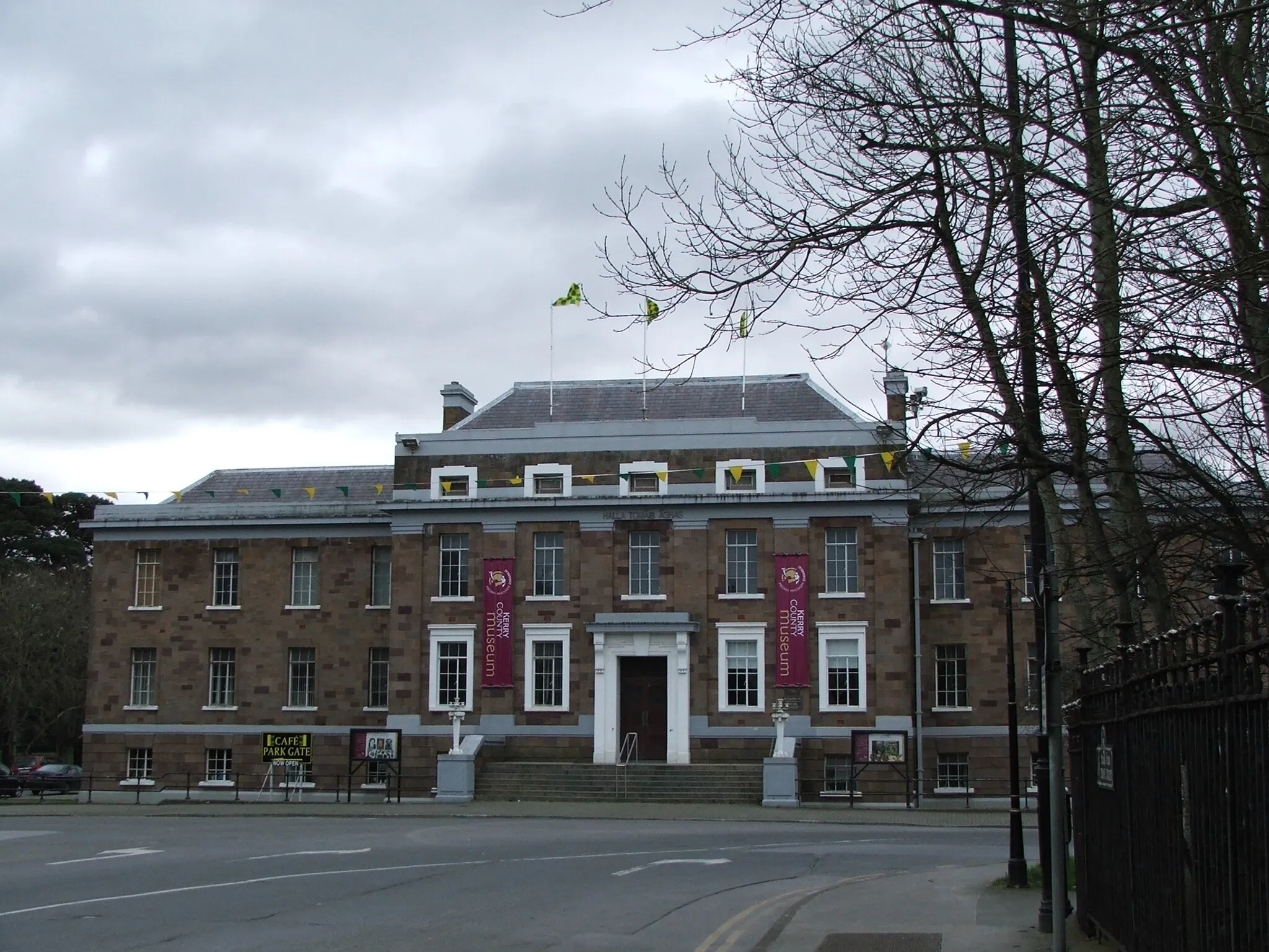
The Tralee Adventure
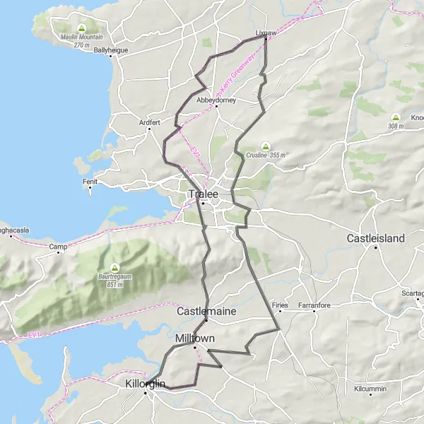
Explore the picturesque countryside around Tralee on this scenic cycling route.
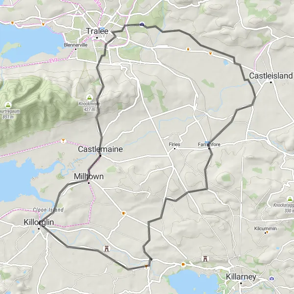
Experience the beauty of the Irish countryside on this 101 km cycling route starting near Killorglin, passing through Castlemaine, Tralee, Lixnaw, Ballyseede Castle Hotel, and ending back in Killorglin. With a total ascent of 1042 meters, it is suitable for experienced cyclists. Don't miss the opportunity to explore Tralee, a vibrant town known for its traditional music sessions and friendly locals. Ballyseede Castle Hotel offers a unique accommodation option, allowing you to indulge in luxury after a challenging day of cycling.
A refreshing ride through scenic landscapes, with stunning views along the way
Experience the idyllic beauty of the Castlemaine area on this road cycling route. With its moderate difficulty level and scenic views, this ride is perfect for cyclists who want to immerse themselves in nature. Highlights include the famous Ogham Stones and a finish in Killorglin, where you can fully indulge in the charming ambience of the town. This route is suitable for amateur cyclists looking for a relaxed but enjoyable ride.
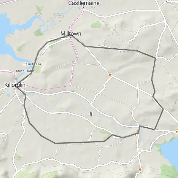
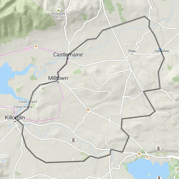
A scenic and short cycling route with a taste of Irish history.
If you're looking for a short and picturesque cycling route, the Milltown Loop is the perfect choice. This 38 km route starts near Killorglin and takes you through the quaint village of Milltown, where you can explore its historic sites and enjoy the peaceful countryside. With a total ascent of 277 meters, it is suitable for all levels of cyclists. Don't miss the chance to see the ancient Ogham Stones, inscribed with early Irish language script and serving as a reminder of Ireland's rich history.
Milltown to Killarney Loop
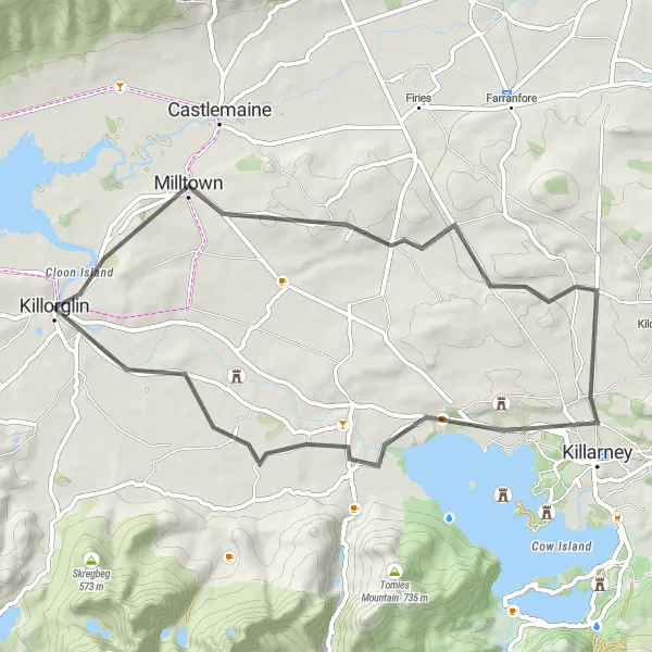
Enjoy a scenic and diverse route from Milltown to Killarney, passing through beautiful landscapes
Embark on a diverse road cycling route that takes you from Milltown to Killarney, offering a mix of challenging climbs and tranquil stretches. As you ride through the enchanting countryside, you'll be captivated by the stunning vistas and charming towns along the way. The difficulty level is moderate, making it suitable for experienced amateur cyclists. The ride concludes in Killorglin, where you can unwind and explore the town's vibrant atmosphere and cultural sites.
Cycling routes nearby:


Nearby regions: