The Dingle Peninsula Adventure
A road cycling route starting from Killorglin
Embark on a thrilling cycling adventure through the scenic Dingle Peninsula.
Map
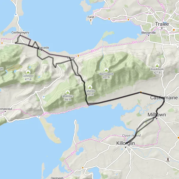
Experience the rugged beauty of the Dingle Peninsula on this 85 km cycling route. Starting near Killorglin, the route takes you through Castlemaine, Bothar na gcloch, Castlegregory, and Camp before returning to Killorglin. This route offers stunning coastal views, rolling hills, and charming villages along the way. With a total ascent of 976 meters, it is suitable for intermediate cyclists. Don't forget to visit the Ogham Stones, ancient stone carvings that provide insight into Ireland's early history. The route also passes through the picturesque town of Killorglin, where you can immerse yourself in its rich cultural heritage.
road
85 km
976 m
Tough
Route profile
Highlights on the route
0 km
0 km
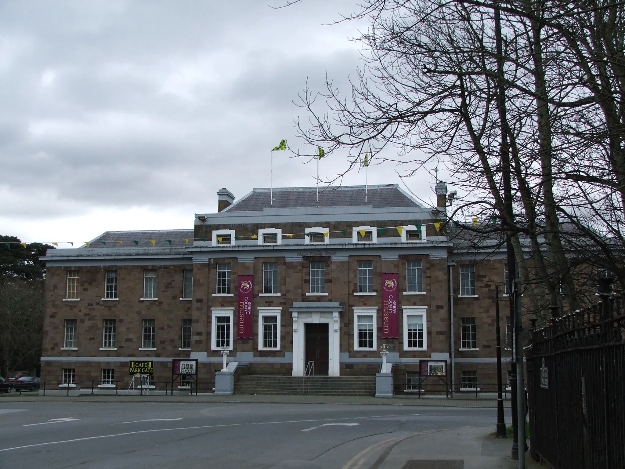
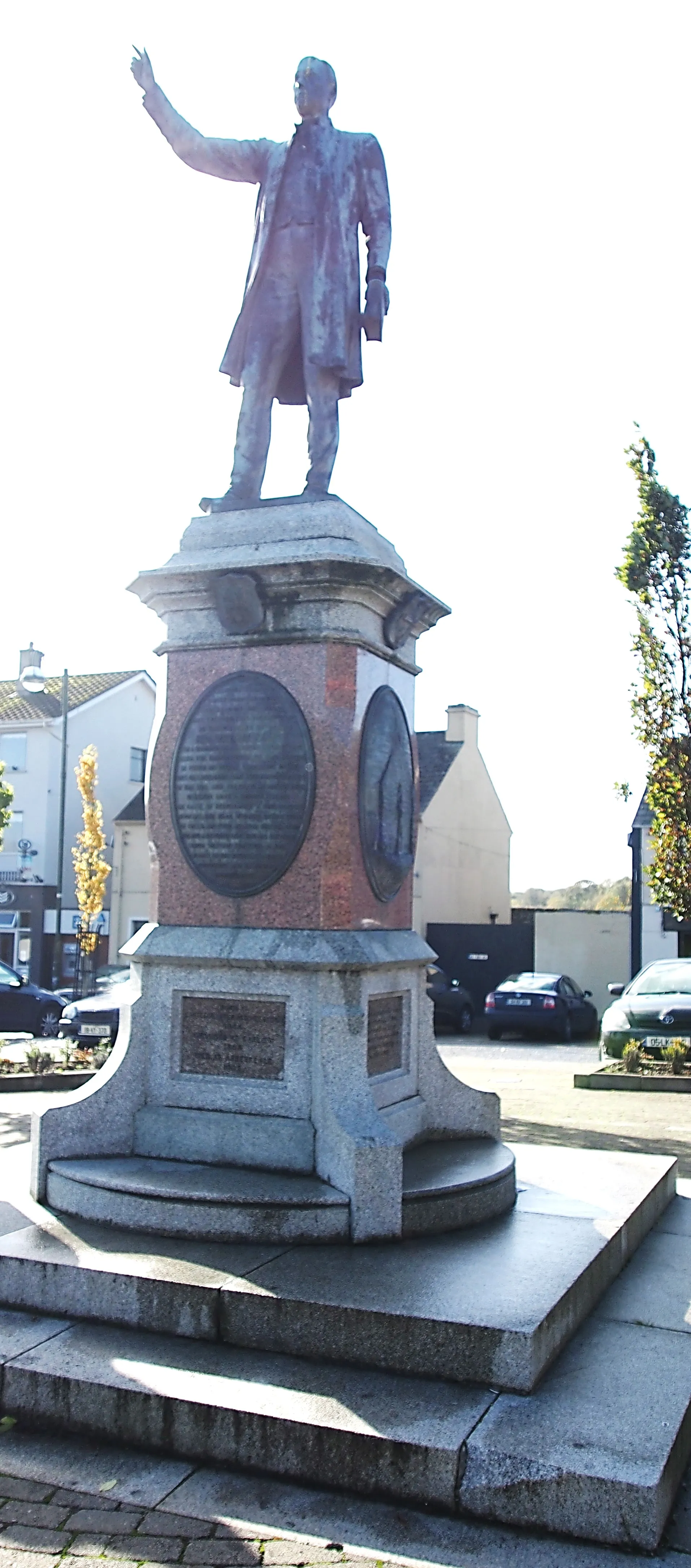
Start: Killorglin City centerKillorglin: Scenic and challenging cycling in Killorglin, Ireland.
Killorglin is situated in the Southern region of Ireland. It offers a picturesque setting for both road and gravel cyclists. The town is surrounded by stunning mountain ranges and scenic routes. Road cyclists can enjoy the well-maintained roads with beautiful views of the surrounding countryside. Gravel cyclists can explore the nearby trails and paths through the mountains and forests. Killorglin is a great destination for cyclists seeking both natural beauty and challenging routes. Nearby, there is the famous Conor Pass, one of Ireland's most renowned climbs.10 km
10 km
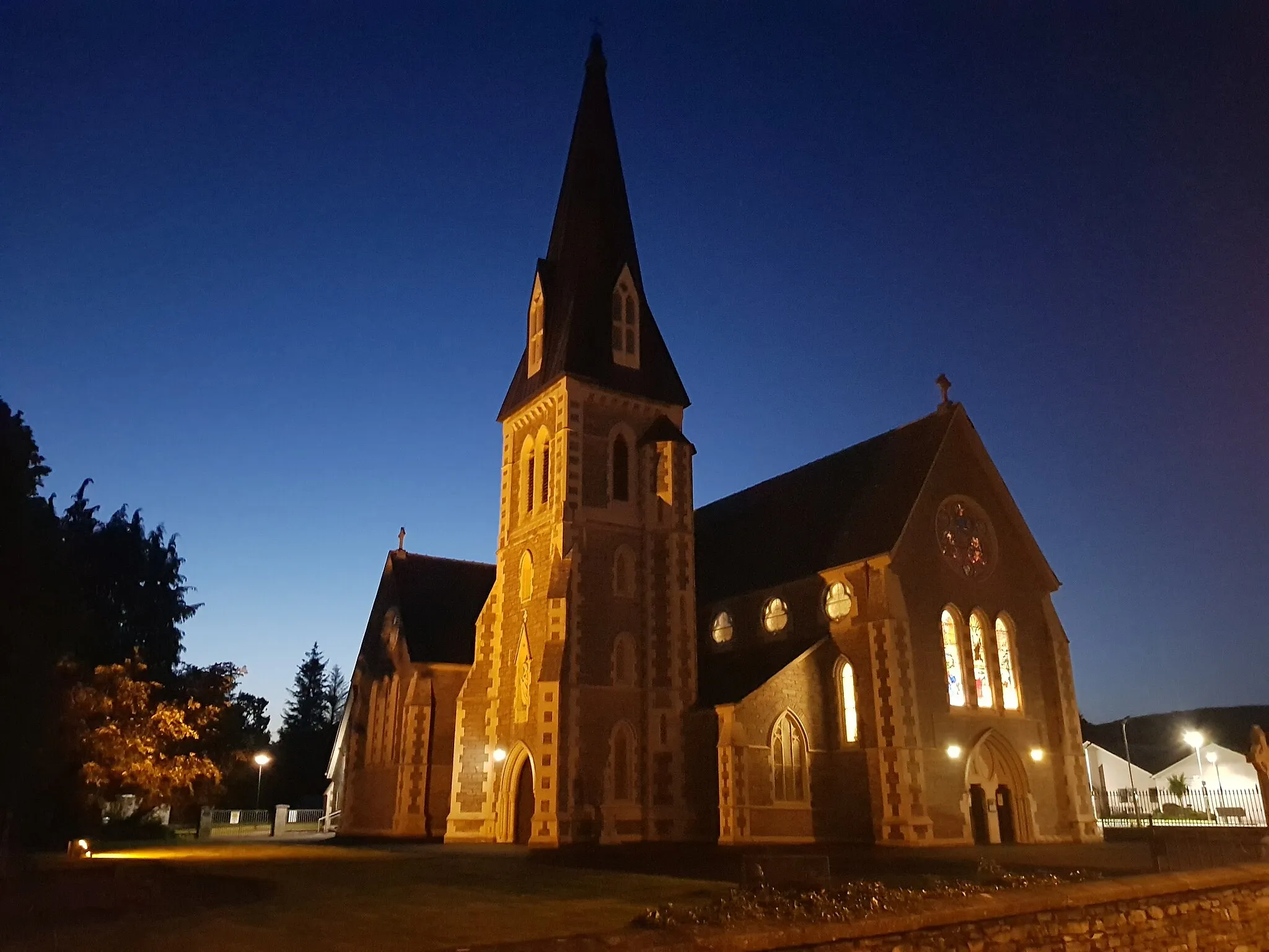
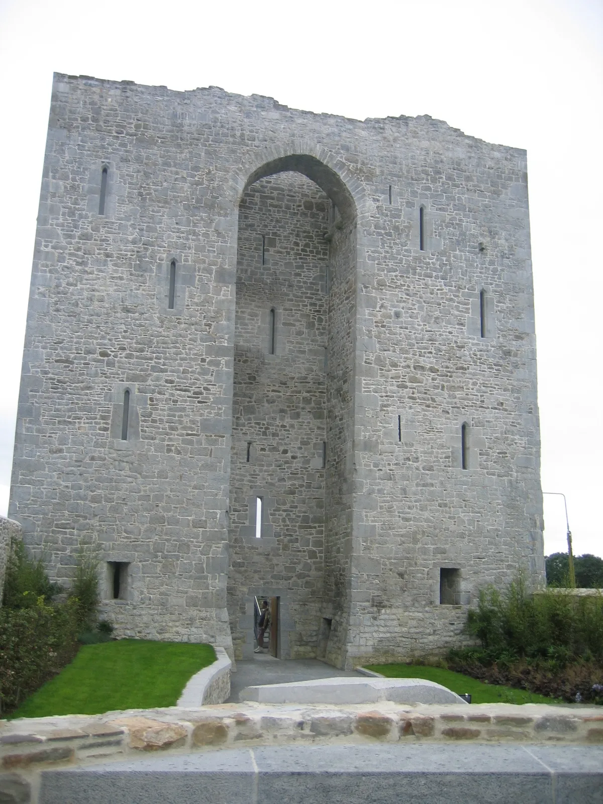
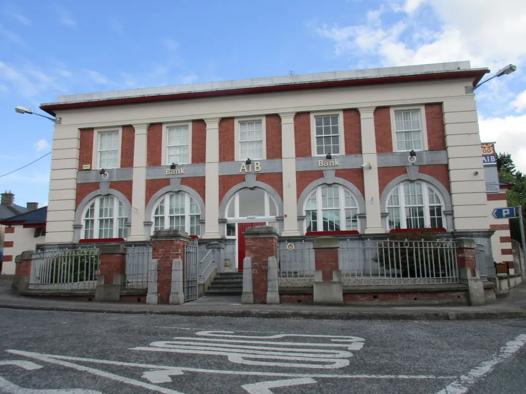
CastlemaineTownDiscover the historic town of Castlemaine and its interesting heritage sites.
30 km
30 km
Bothar na gclochViewpointAdmire the breathtaking views from Bothar na gcloch, a scenic viewpoint along the route.
41 km
41 km
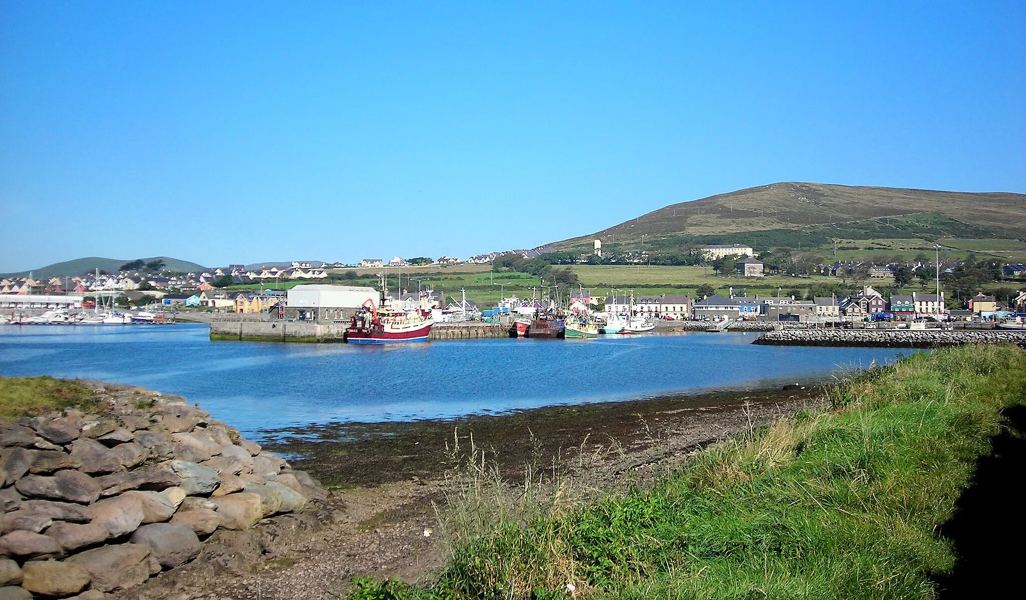
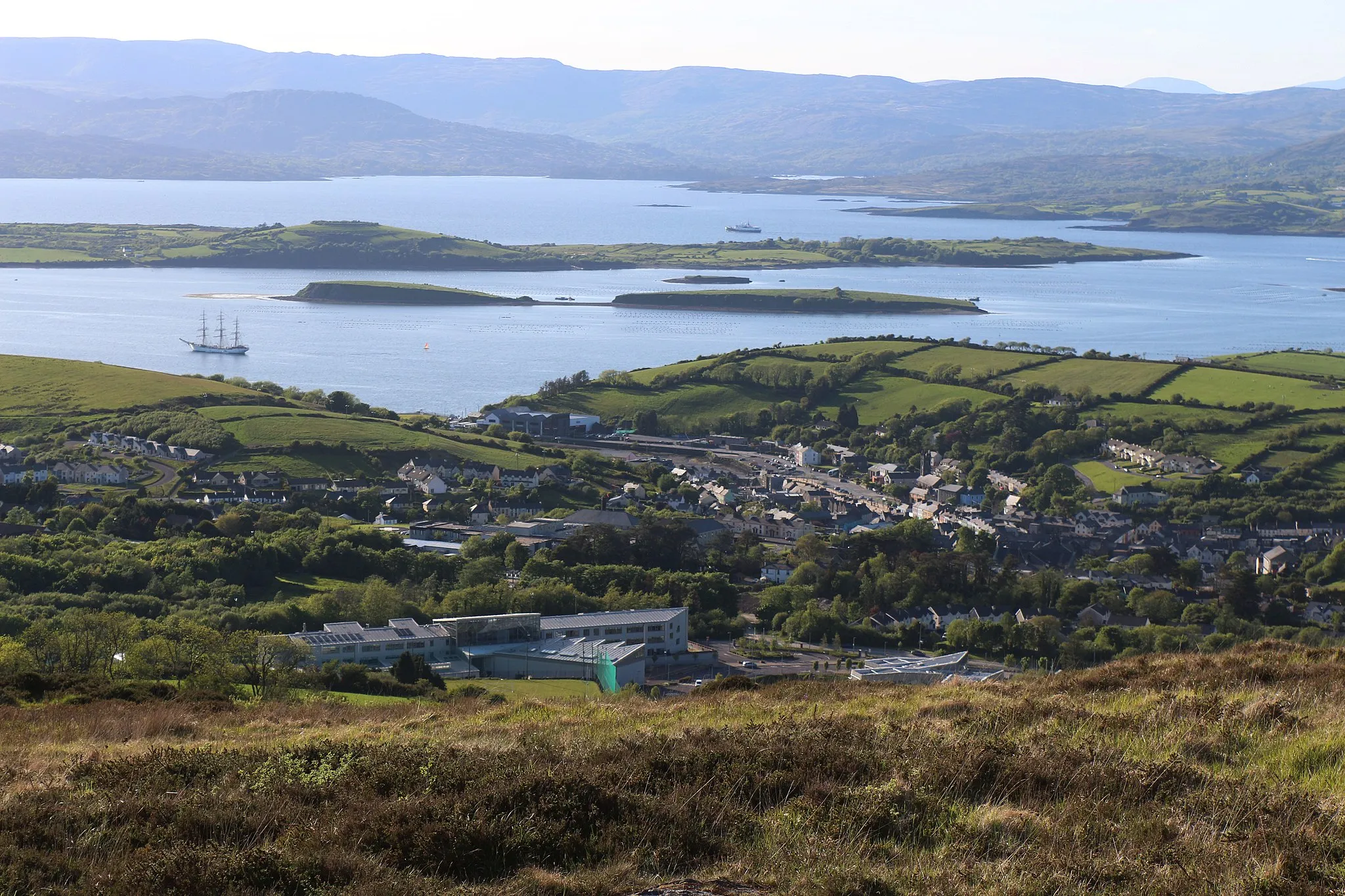
CastlegregoryVillageTake a break in Castlegregory and enjoy its beautiful sandy beaches.
55 km
55 km
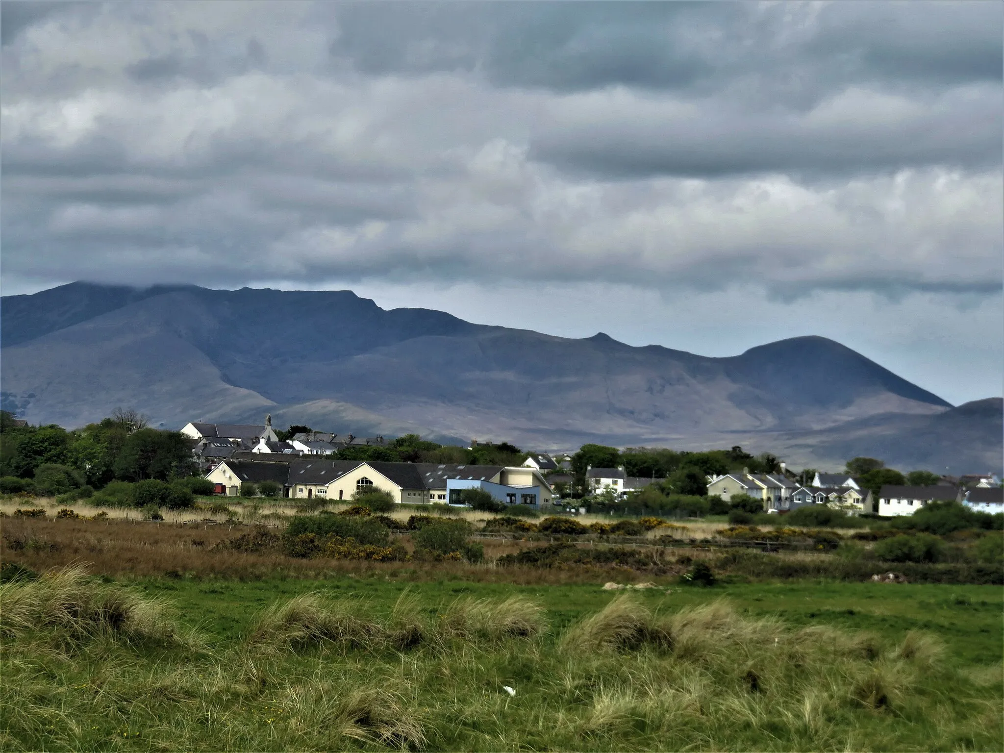
CampVillageExplore the charming village of Camp and its traditional Irish pubs.
85 km
85 km
KillorglinTownExperience the vibrant atmosphere of Killorglin and its lively streets during the annual Puck Fair.
85 km
85 km
Finish: Killorglin City centerKillorglin: Scenic and challenging cycling in Killorglin, Ireland.
Cycling routes nearby: