Killorglin Loop via Knocknabrone Hill
A road cycling route starting from Killorglin
A scenic loop with stunning views and a challenging climb up Knocknabrone Hill
Map
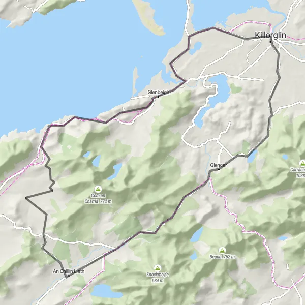
Discover the beauty of Killorglin and its surrounding countryside on this road cycling route. This loop takes you through picturesque landscapes, quaint villages, and offers breathtaking views along the way. The highlight of the route is the ascent of Knocknabrone Hill, providing a real challenge for experienced cyclists. With a moderate difficulty level and epicness factor, this route promises a memorable cycling experience.
road
84 km
910 m
Tough
Route profile
Highlights on the route
0 km
0 km
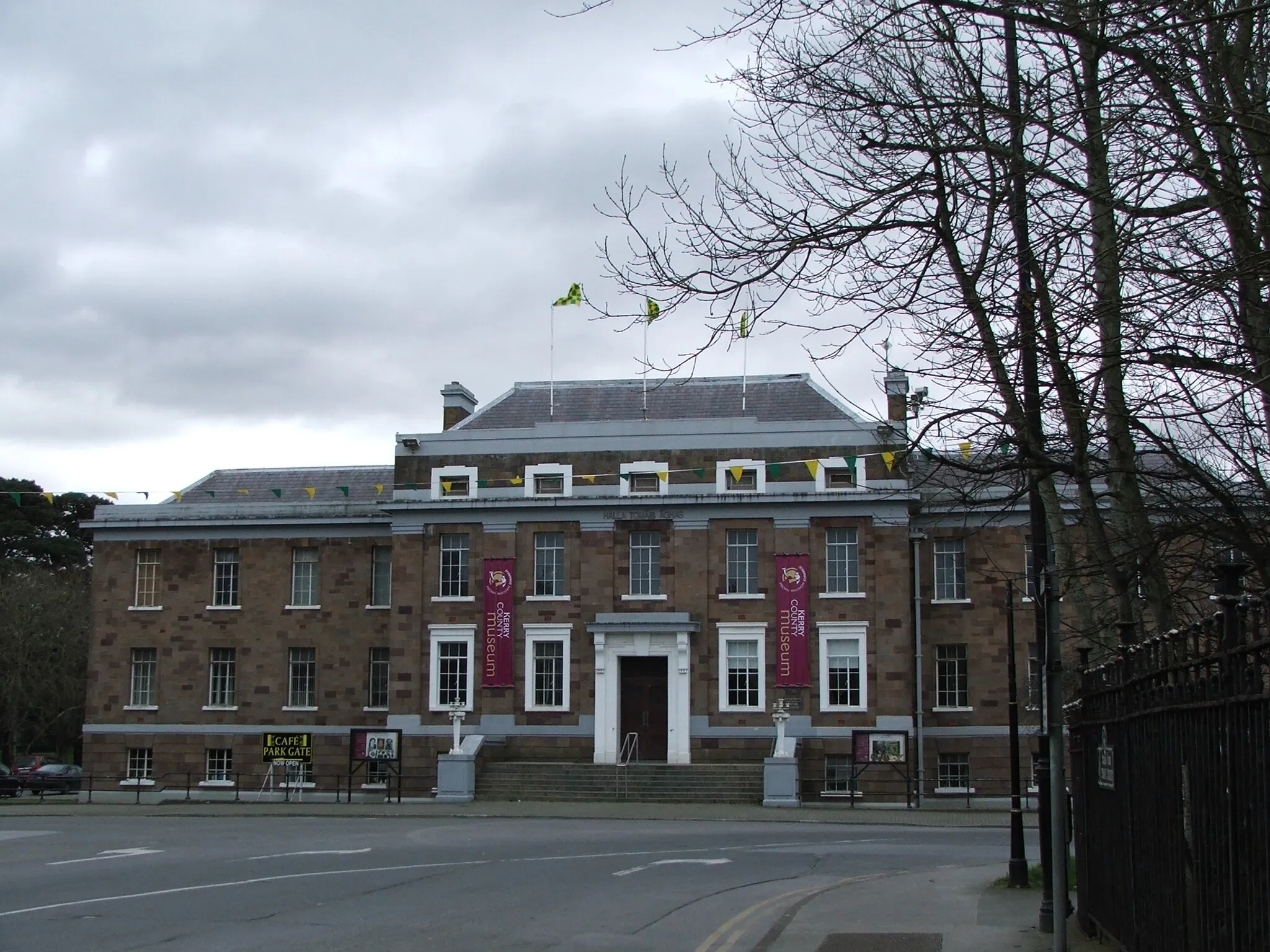
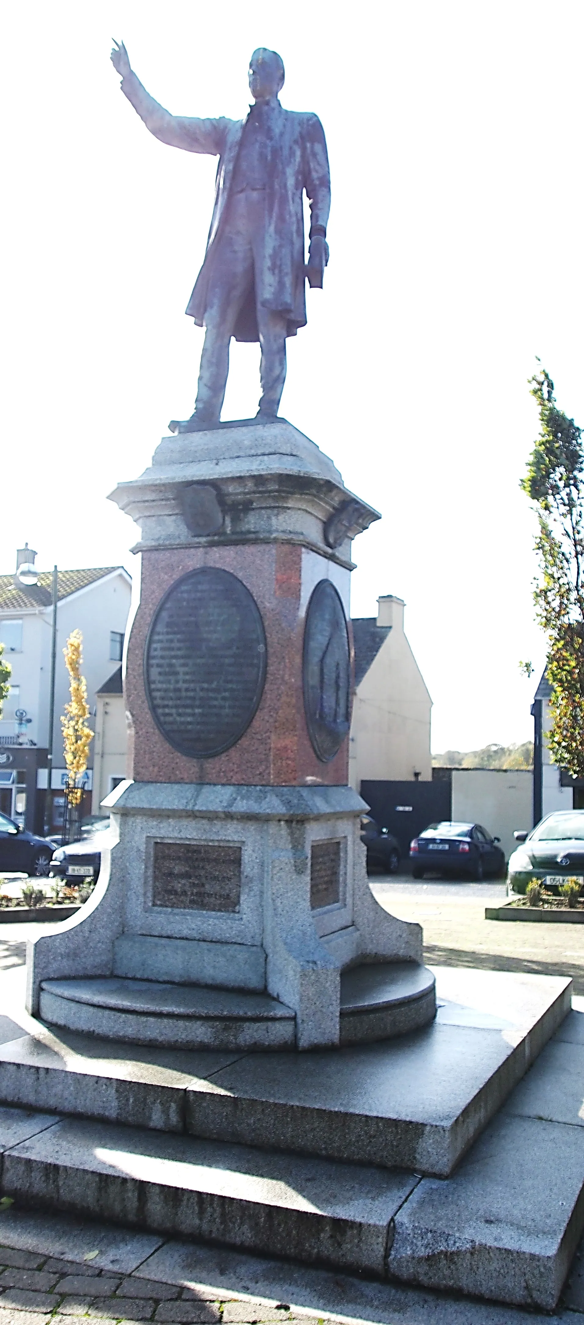
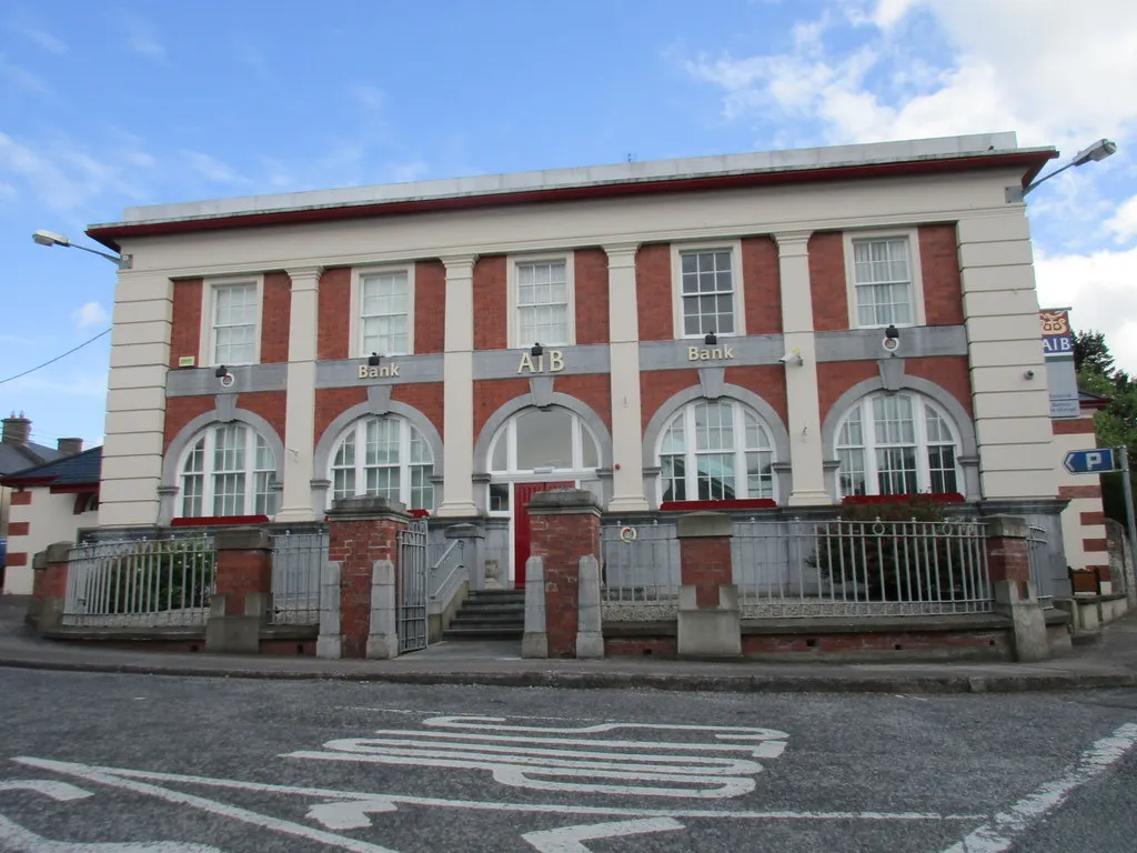
Start: Killorglin City centerKillorglin: Scenic and challenging cycling in Killorglin, Ireland.
Killorglin is situated in the Southern region of Ireland. It offers a picturesque setting for both road and gravel cyclists. The town is surrounded by stunning mountain ranges and scenic routes. Road cyclists can enjoy the well-maintained roads with beautiful views of the surrounding countryside. Gravel cyclists can explore the nearby trails and paths through the mountains and forests. Killorglin is a great destination for cyclists seeking both natural beauty and challenging routes. Nearby, there is the famous Conor Pass, one of Ireland's most renowned climbs.11 km
11 km
Knocknabrone Hill353 mPeakDon't miss the opportunity to stop at Knocknabrone Hill and admire the panoramic views from the summit.
24 km
24 km
Knocknacusha547 mPeakEnjoy the gentle climb to Knocknacusha and take in the beautiful scenery along the way.
55 km
55 km
Mount Foley355 mPeakMake sure to visit Mount Foley, known for its natural beauty and stunning vistas.
65 km
65 km
Laghtshee328 mPeakLaghtshee offers a peaceful and serene setting, perfect for a short rest and relaxation.
67 km
67 km
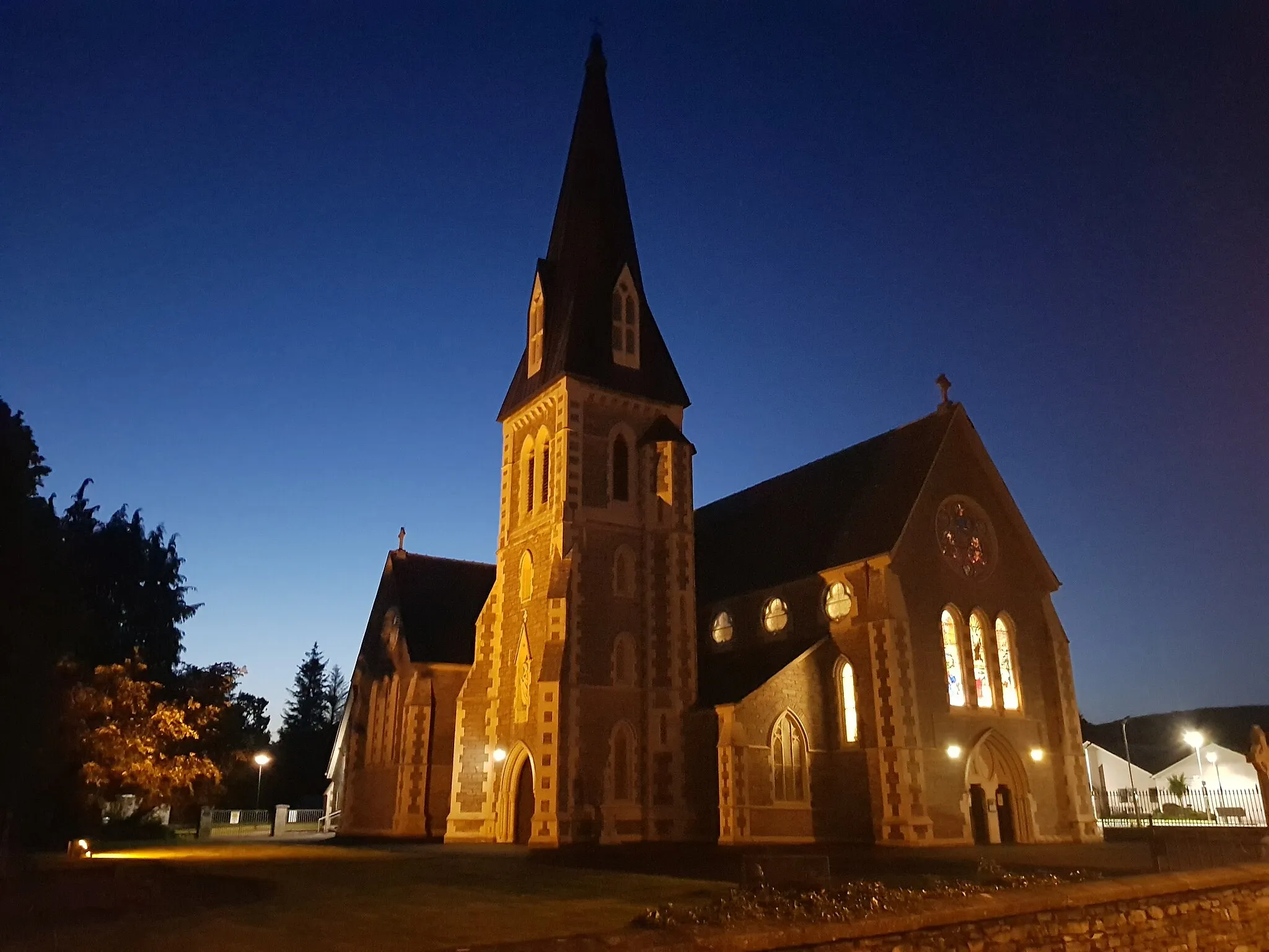
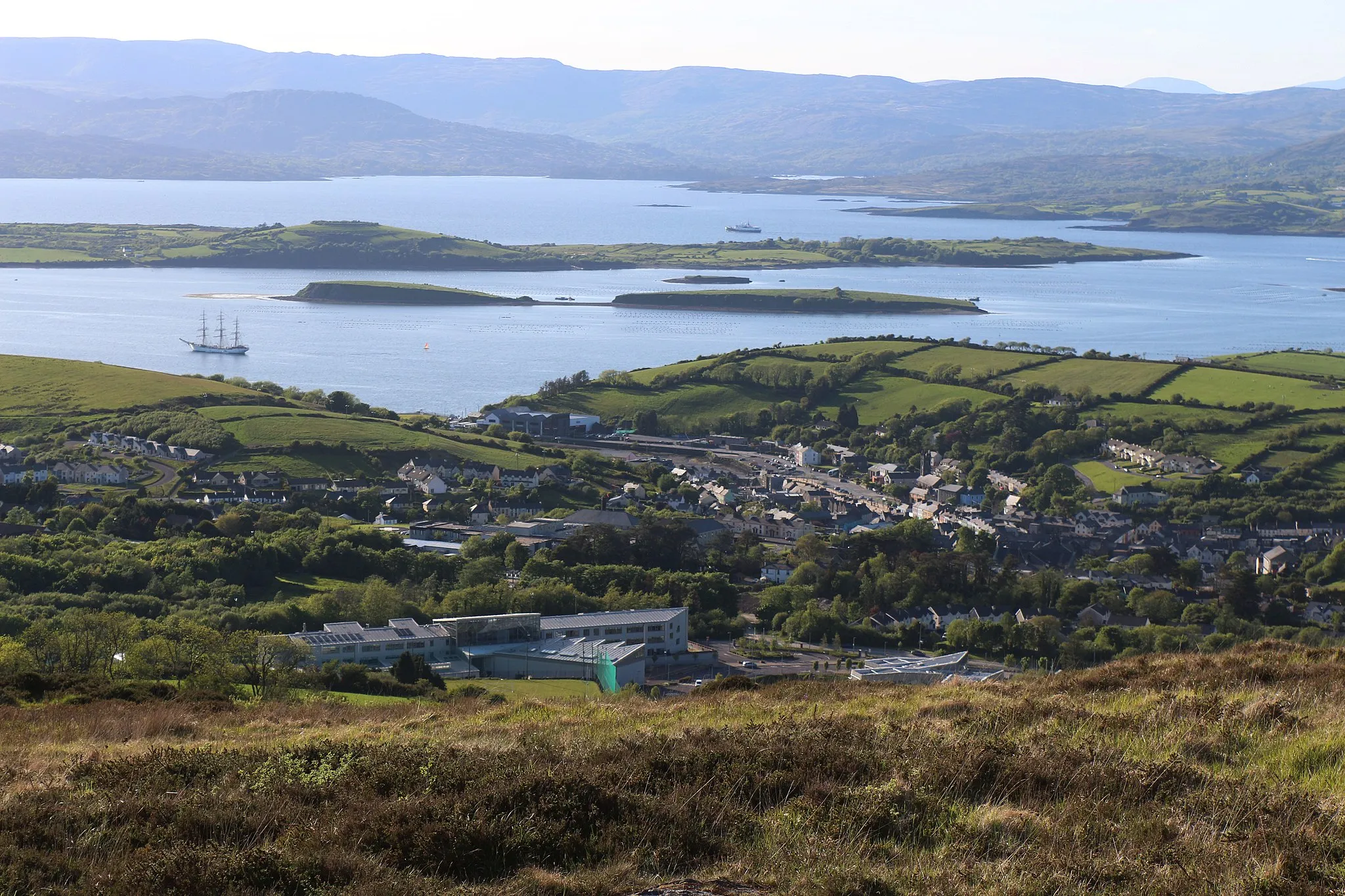
GlenbeighVillageStop by Glenbeigh and soak in the charming atmosphere of this traditional Irish village.
84 km
84 km
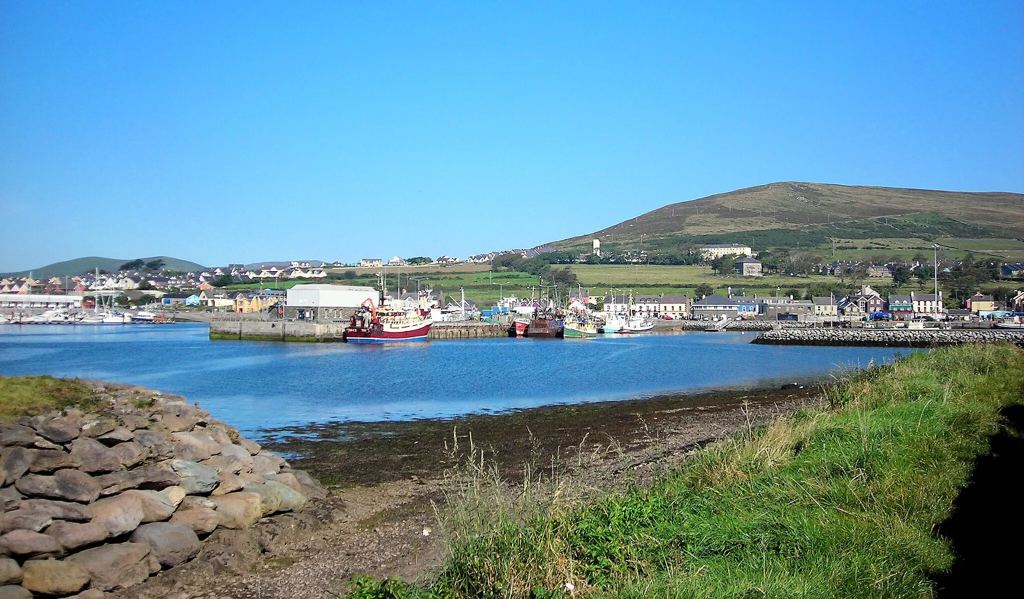
KillorglinTownFinish your ride in Killorglin, where you can explore the local cafes and shops.
84 km
84 km
Finish: Killorglin City centerKillorglin: Scenic and challenging cycling in Killorglin, Ireland.
Cycling routes nearby: