Gravel Adventure: Roccacaramanico Loop
A gravel cycling route starting from Lettomanoppello
Experience the thrill of gravel cycling on this epic loop starting from Lettomanoppello.
Map

This challenging gravel cycling route covers a distance of 144 km with an ascent of 2639 m. You'll ride through diverse terrain, from gravel roads to scenic trails, and pass through picturesque villages and cultural highlights. Suitable for experienced gravel cyclists who enjoy a combination of challenging climbs and off-road exploration.
gravel
144 km
2639 m
Savage
Route profile
Highlights on the route
0 km
0 km
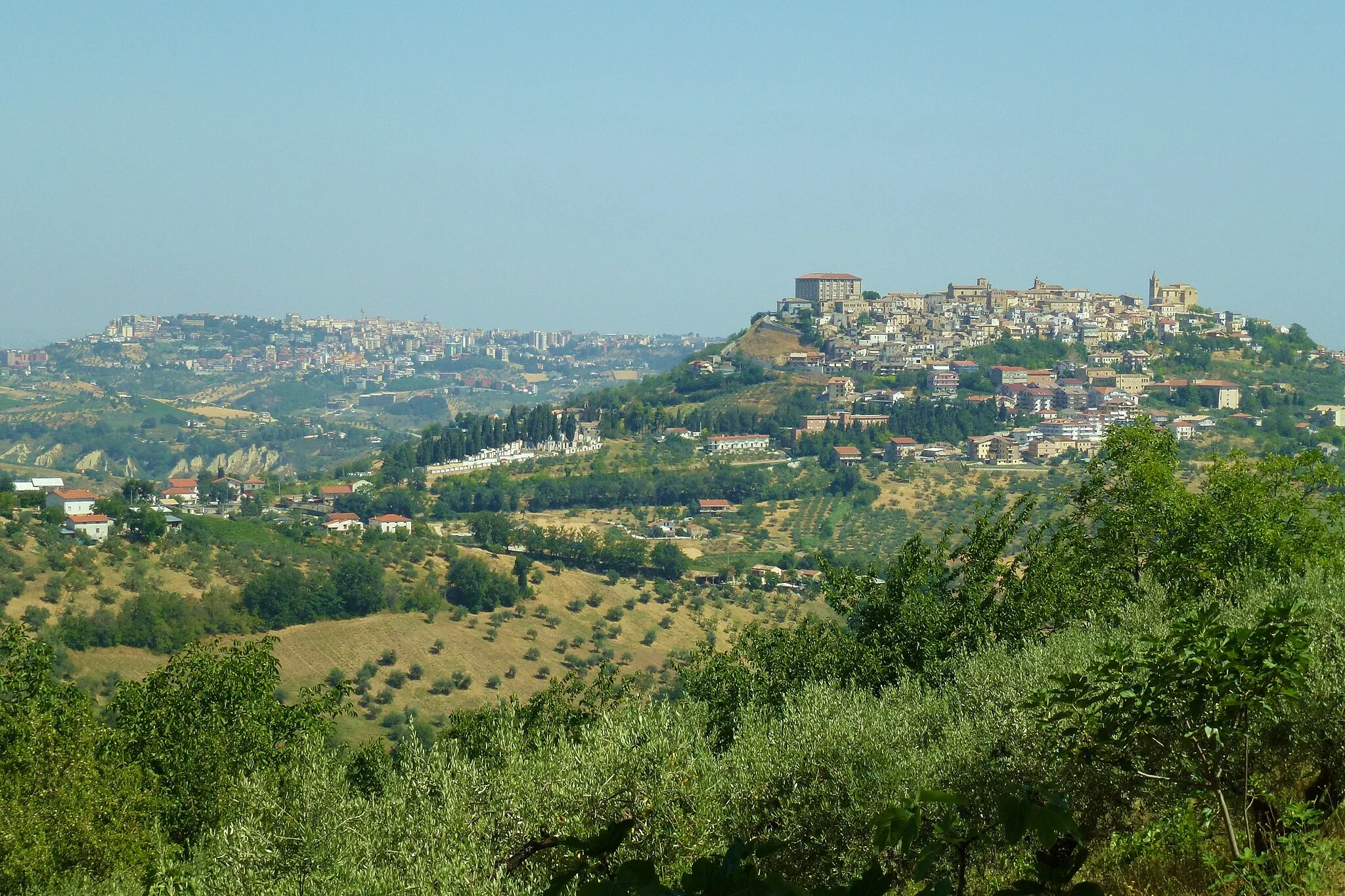
Start: Lettomanoppello Village centerLettomanoppello: Charming countryside and challenging climbs await in Lettomanoppello.
Lettomanoppello is a cyclist-friendly locality that offers a range of routes for road and gravel cycling. The charming countryside and quiet roads make it an ideal destination for cyclists seeking a peaceful ride. For those looking for a challenge, the climb up to Leofara is a must-try, known for its steep gradients and stunning views. Lettomanoppello is a hidden gem for cyclists looking to explore the beauty of Abruzzo.5 km
5 km
RoccamoriceVillageRoccamorice, located at a distance of 5 km on the route, is a charming village surrounded by mountains and offering stunning views of the countryside.
18 km
18 km
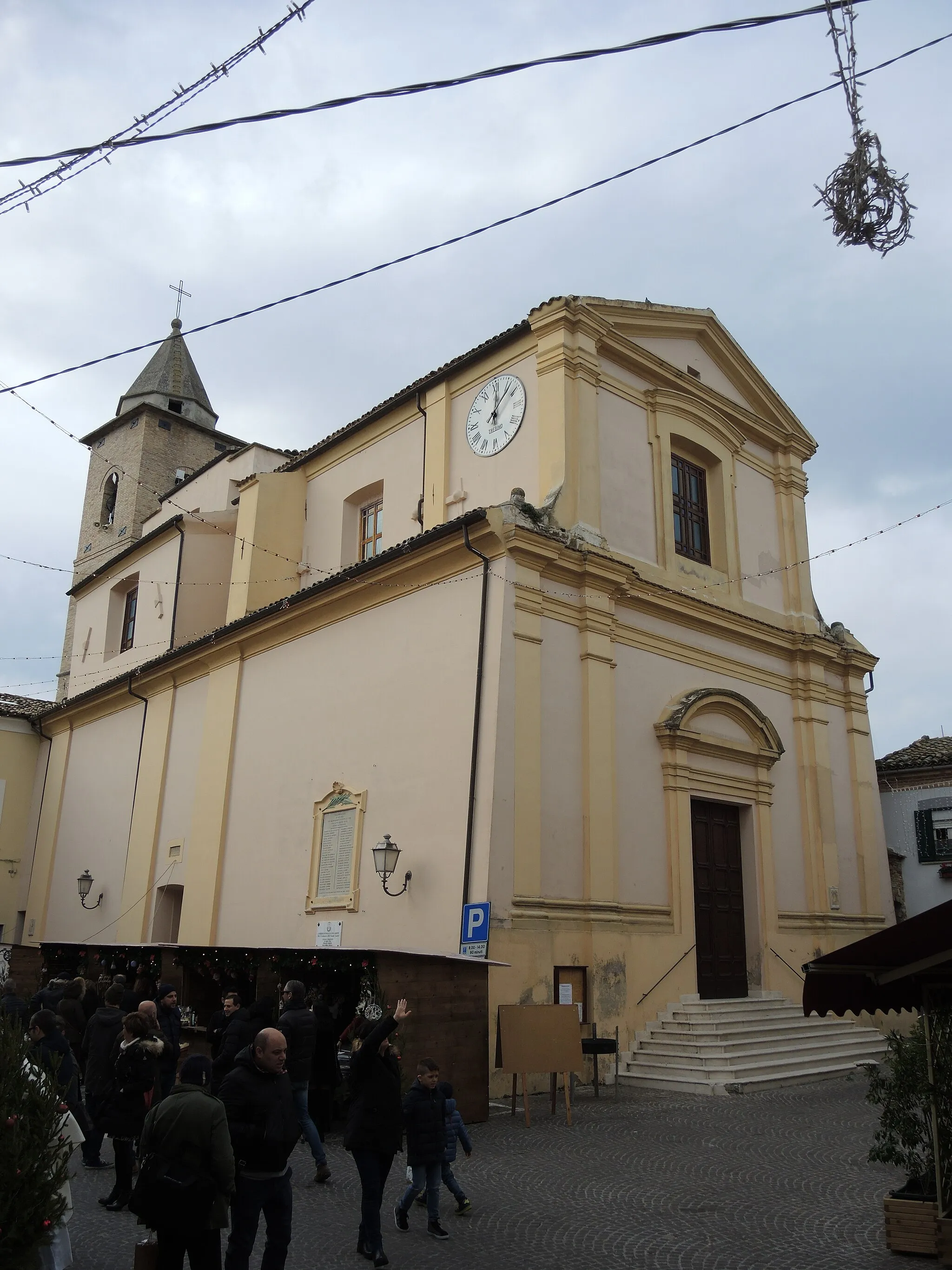
Caramanico TermeVillageCaramanico Terme, located at a distance of 18 km on the route, is a town famous for its thermal baths and natural beauty. Relax at the spa or explore the charming streets lined with historic buildings.
28 km
28 km
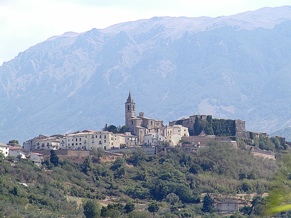
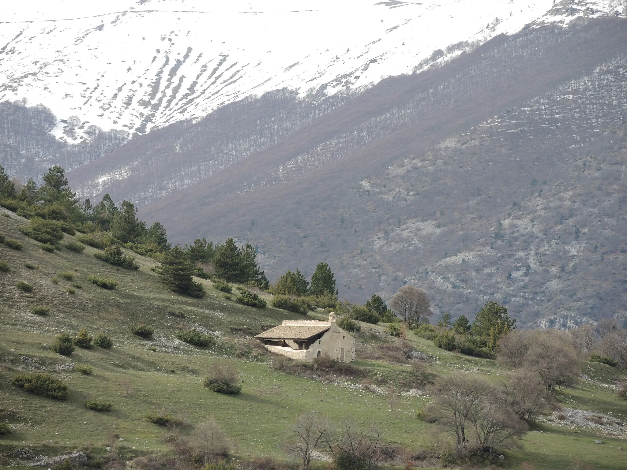
RoccacaramanicoHamletRoccacaramanico, located at a distance of 28 km on the route, is a picturesque village known for its traditional architecture, narrow streets, and scenic views of the Majella National Park.
43 km
43 km
C.le Castellano1182 mPeakC.le Castellano, located at a distance of 43 km on the route, offers panoramic views of the mountains and valleys of the Majella National Park. It is a great spot to admire the rugged beauty of the landscape.
55 km
55 km
Tre confini1647 mPeakTre confini, located at a distance of 55 km on the route, is a mountain pass where three regions, Abruzzo, Molise, and Lazio, converge. It is a stunning location with breathtaking vistas.
65 km
65 km
RivisondoliVillageRivisondoli, located at a distance of 65 km on the route, is a picturesque village nestled in the mountains and is a popular destination for outdoor enthusiasts, offering activities such as skiing in the winter.
85 km
85 km
C.le La Guardiola1198 mPeakC.le La Guardiola, located at a distance of 85 km on the route, offers panoramic views of the Gran Sasso mountain range and the surrounding valleys. It is a must-visit spot for photographers and nature lovers.
88 km
88 km
Pettorano sul GizioVillagePettorano sul Gizio, located at a distance of 88 km on the route, is a charming village with narrow streets, traditional stone houses, and a stunning main square.
98 km
98 km
SulmonaTownSulmona, located at a distance of 98 km on the route, is a historic town famous for its medieval architecture, delicious sugared almonds, and the annual Giostra Cavalleresca, a jousting tournament.
106 km
106 km
Monte Orsa642 mPeakMonte Orsa, located at a distance of 106 km on the route, is a challenging climb that rewards cyclists with magnificent views of the surrounding mountains and valleys.
117 km
117 km
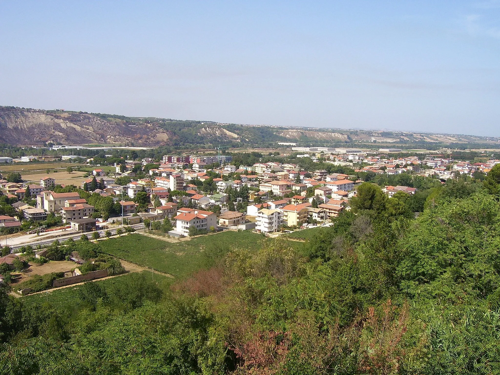
PopoliTownPopoli, located at a distance of 117 km on the route, is a picturesque town with well-preserved medieval buildings, a beautiful main square, and stunning views of the Majella National Park.
119 km
119 km
Castiglione592 mPeakCastiglione, located at a distance of 119 km on the route, is a hilltop village with a charming historic center and offers panoramic views of the surrounding countryside.
131 km
131 km
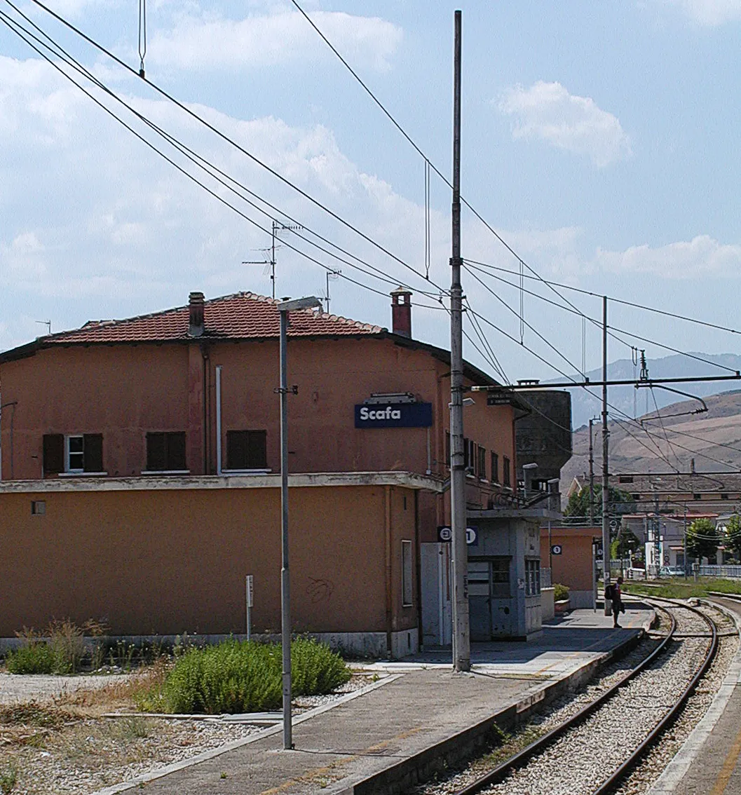
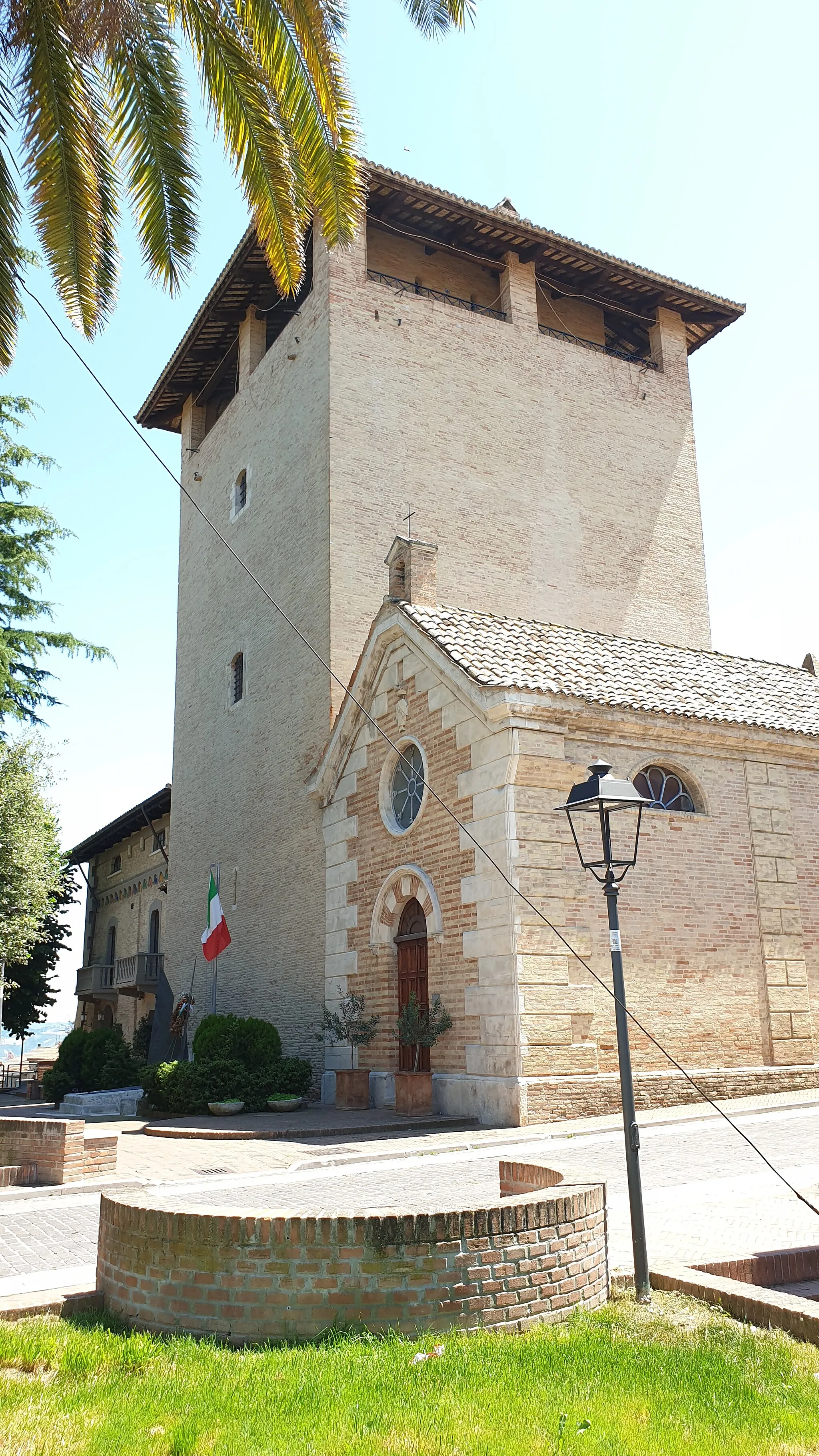
Torre de' PasseriVillageTorre de' Passeri, located at a distance of 131 km on the route, is a small town with a beautiful historic center and a tower offering panoramic views of the river and surrounding hills.
144 km
144 km
LettomanoppelloVillageLettomanoppello, the starting and ending point of the route, is a small village known for its agricultural traditions and charming rural atmosphere.
144 km
144 km
Finish: Lettomanoppello Village centerLettomanoppello: Charming countryside and challenging climbs await in Lettomanoppello.
Cycling routes from Lettomanoppello:
Through the Majestic Abruzzo Mountains Along the Scenic Roads of Abruzzo Through Charming Villages and Rolling Hills Ride through Scenic Countryside and Charming Villages Mountain Adventure in Abruzzo Roccamorice Loop via Navelli and Torre di Forca di Penne Alanno Loop via Catignano Gravel Adventure: Roccacaramanico Loop Nocciano Loop via Cepagatti Roccamorice to Scafa Route
Cycling routes nearby: