Santa Franca Gravel Challenge
A gravel cycling route starting from Lugagnano Val d'Arda
Conquer the challenging paths of Monte Santa Franca on this exciting gravel route
Map
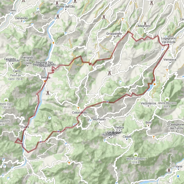
Prepare for an exhilarating adventure on this gravel journey from Lugagnano Val d'Arda. This 81-kilometer route presents a total ascent of 2455 meters, promising a thrilling challenge for gravel enthusiasts. Highlights include Lugagnano Val d'Arda, Croce dei segni, Monte Santa Franca, Farini, and the epic Monte Giogo. Traverse demanding terrains, witness stunning landscapes, and push your limits as you conquer this epic gravel challenge.
gravel
81 km
2455 m
Savage
Route profile
Highlights on the route
0 km
0 km
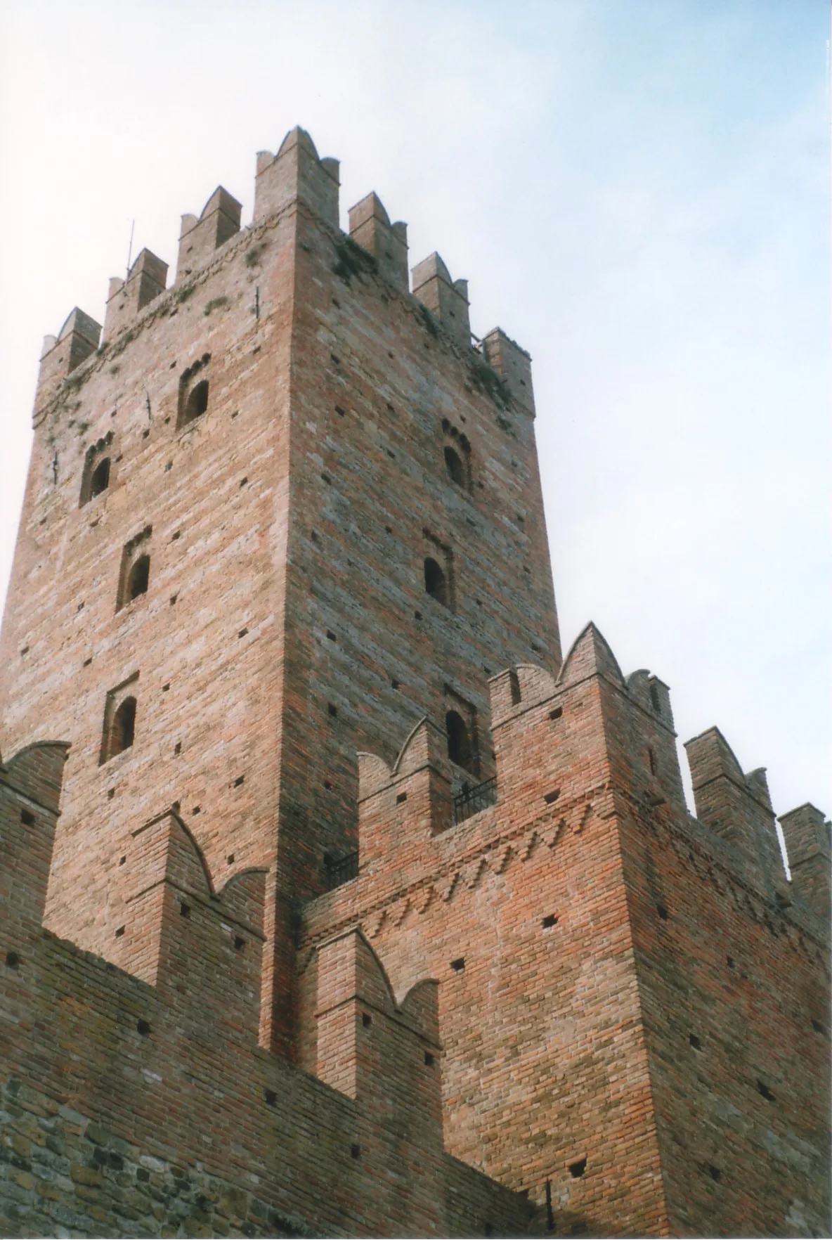
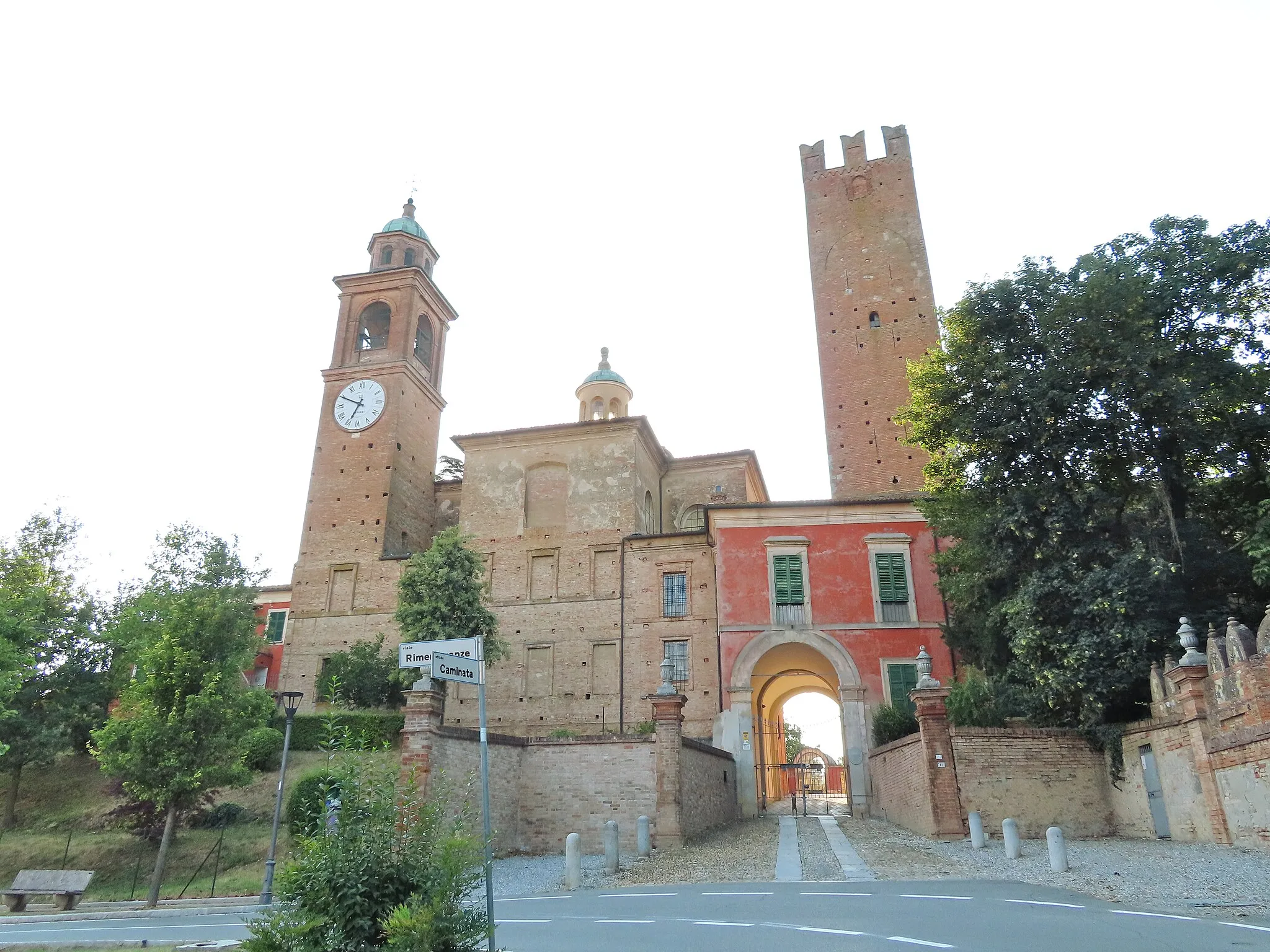
Start: Lugagnano Val d'Arda Village centerLugagnano Val d'Arda: Charming town surrounded by rolling hills and vineyards.
Lugagnano Val d'Arda is a charming town located in the Emilia-Romagna region of Italy. As a road and gravel cyclist, you will find several interesting routes to explore in the surrounding countryside. The area is known for its rolling hills, vineyards, and beautiful scenery, making it a pleasant place to ride. One famous cycling-related spot nearby is the Passo della Cisa, a challenging climb that attracts many cyclists. Overall, Lugagnano Val d'Arda offers a good mix of cycling opportunities and tourism experiences.0 km
0 km
Lugagnano Val d'ArdaVillageBegin your journey in scenic Lugagnano Val d'Arda and embrace the beauty of your surroundings.
16 km
16 km
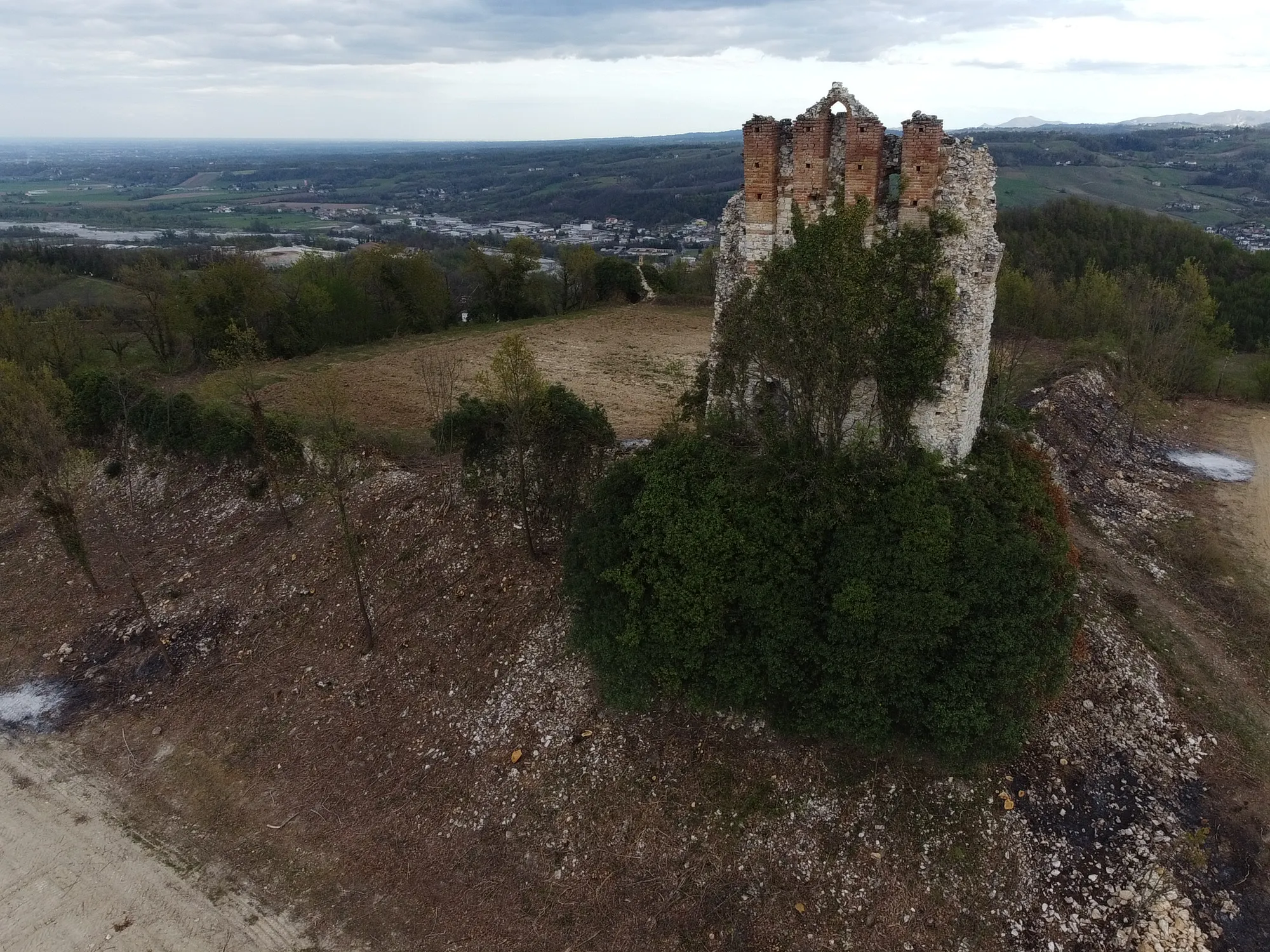
Croce dei segni1072 mPeakCroce dei segni offers picturesque views and a sense of tranquility amidst nature.
25 km
25 km
Monte Santa Franca1321 mPeakEmbark on the challenging climb to Monte Santa Franca and be rewarded with awe-inspiring panoramic vistas.
40 km
40 km
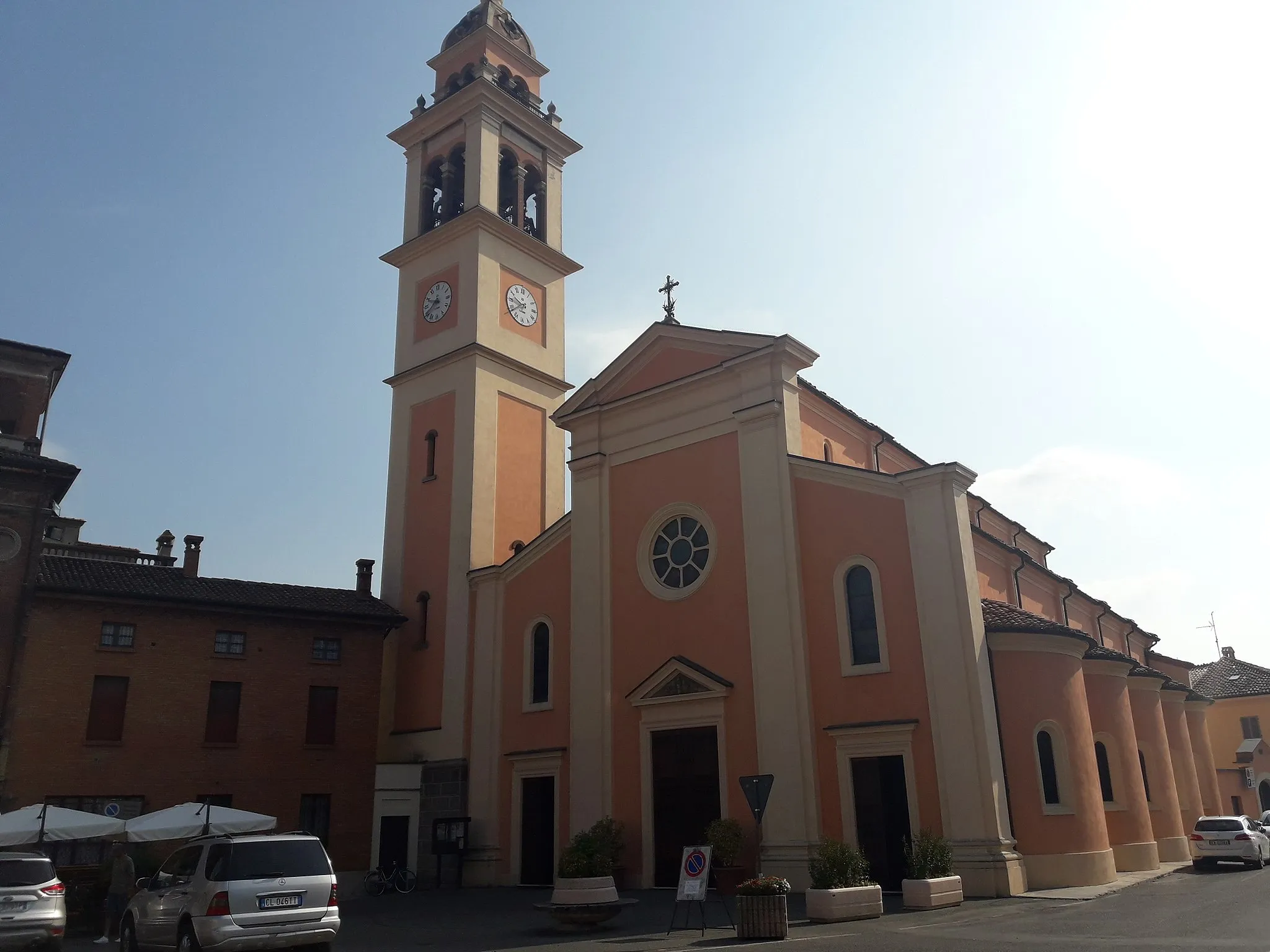
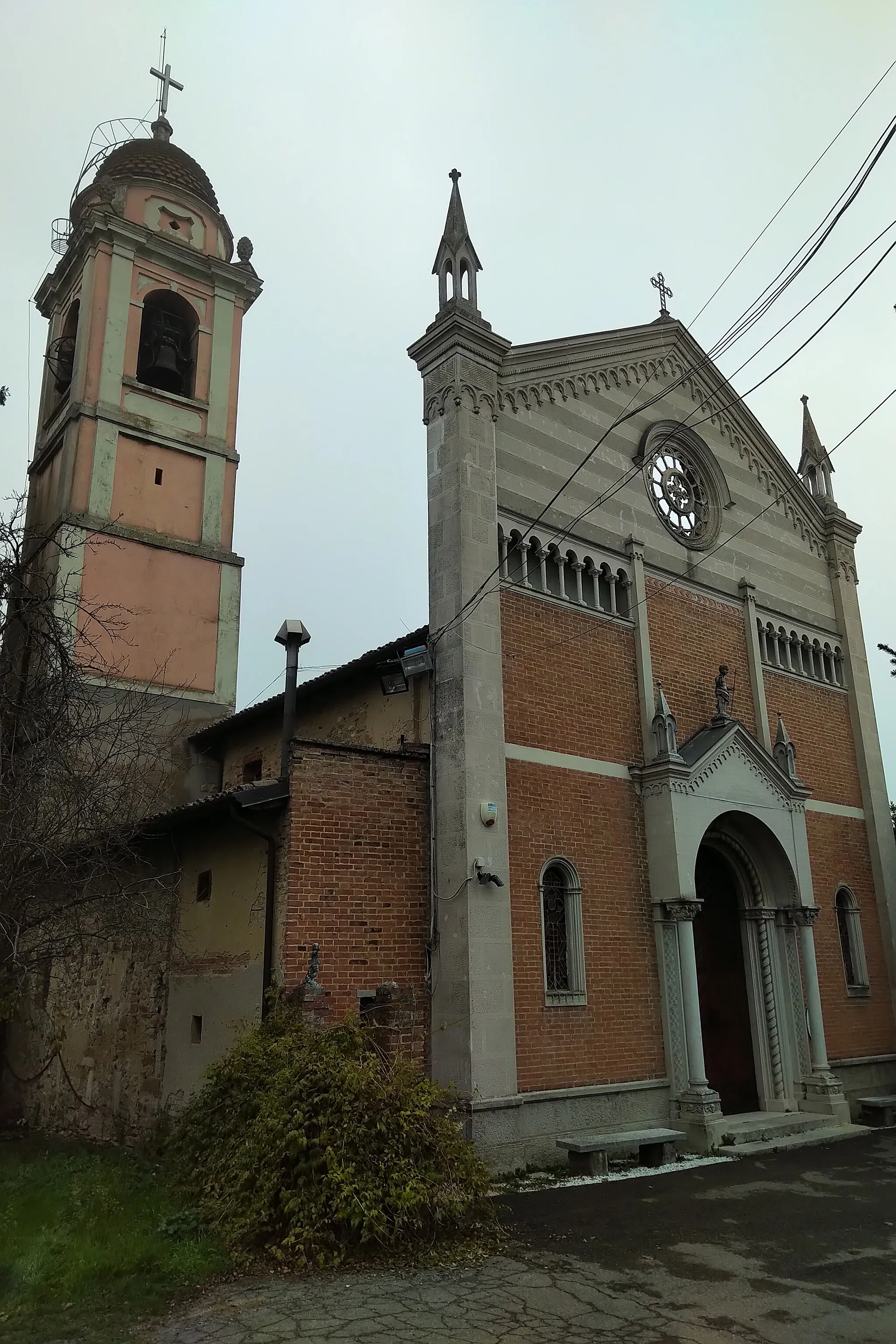
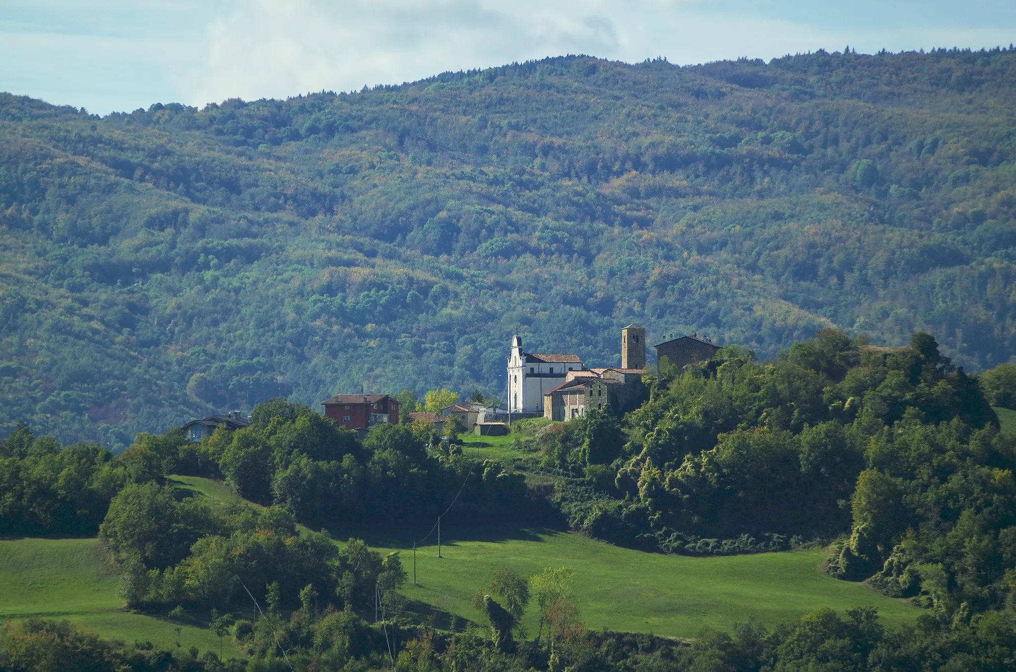
FariniVillageFarini captivates with its rugged charm and stunning natural landscapes.
78 km
78 km
Monte Giogo437 mPeakConquer the legendary Monte Giogo and feel a sense of accomplishment as you reach its summit.
81 km
81 km
Finish: Lugagnano Val d'Arda Village centerLugagnano Val d'Arda: Charming town surrounded by rolling hills and vineyards.
Cycling routes from Lugagnano Val d'Arda:
Gravel Adventure Loop: Lugagnano Val d'Arda Road Cycling Challenge: Lugagnano Val d'Arda Exploratory Gravel Loop: Lugagnano Val d'Arda Scenic Gravel Route: Lugagnano Val d'Arda Picturesque Road Loop: Lugagnano Val d'Arda Vernasca Gravel Loop Romana Road Adventure San Michele Adventure Magnano Castle Loop Santa Franca Gravel Challenge Val d'Arda Gravel Adventure
Cycling routes nearby: