Roteglia Gravel Loop
A gravel cycling route starting from Roteglia
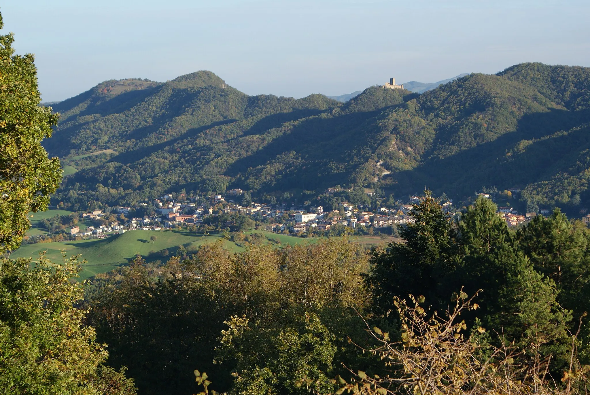
Rolling hills and stunning views in the heart of Emilia-Romagna
Map
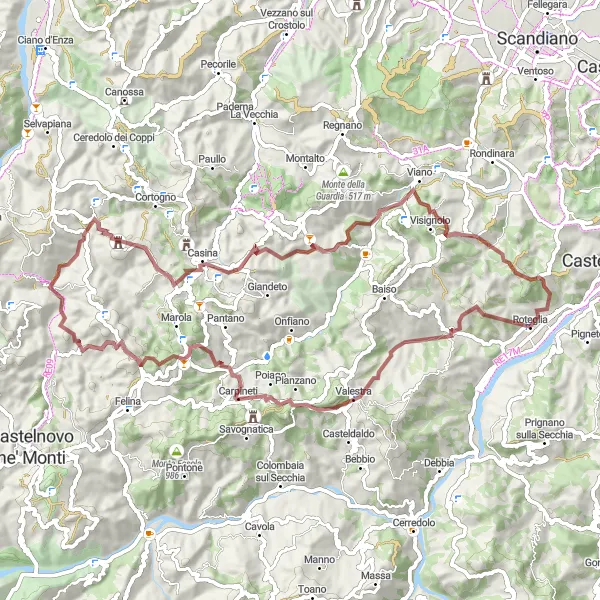
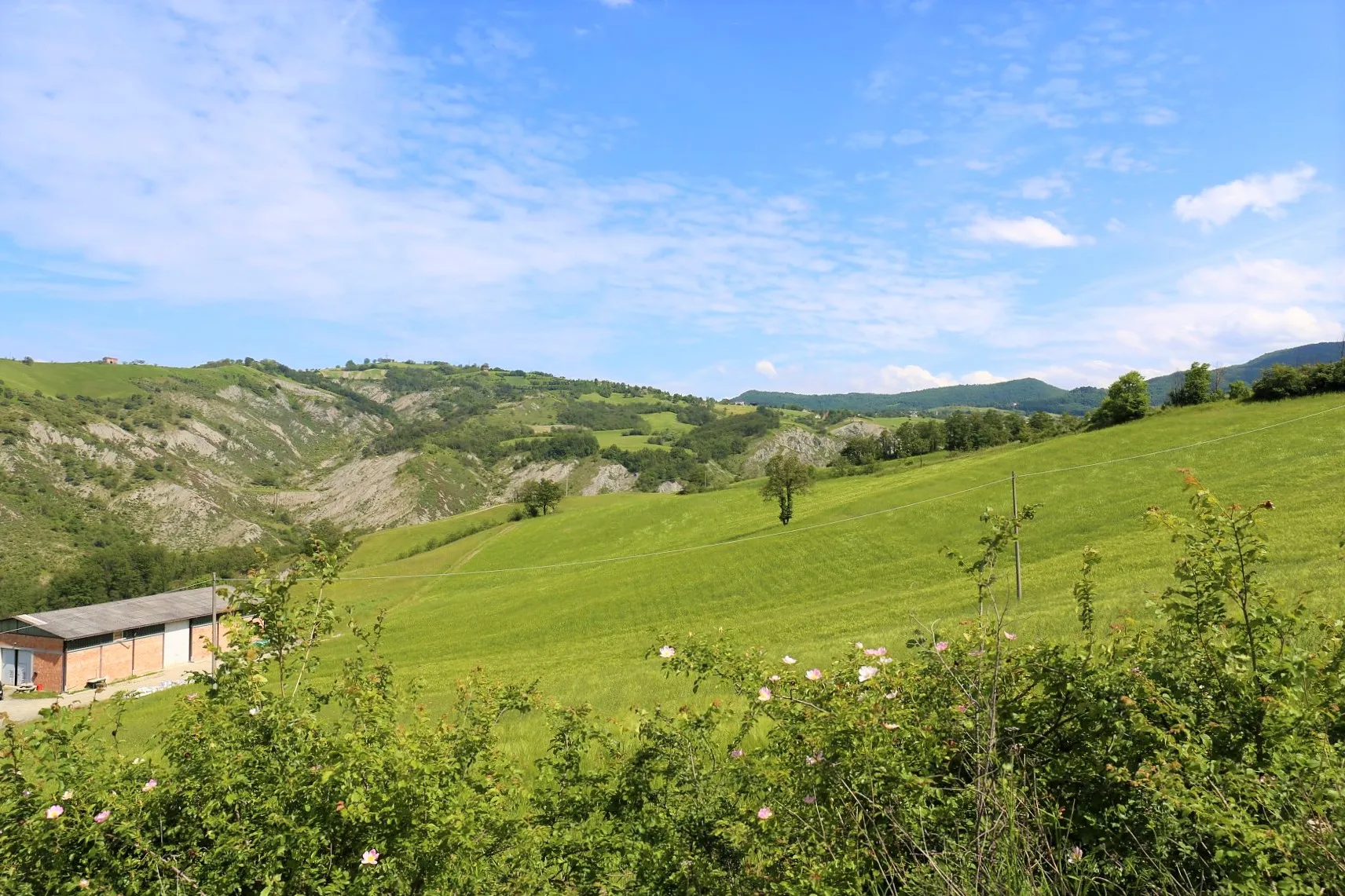
This round-trip cycling route near Roteglia offers gravel enthusiasts the opportunity to explore the beautiful countryside of Emilia-Romagna. With a total distance of 71 kilometers and an ascent of 2,219 meters, this challenging route will take you through picturesque villages, along scenic roads, and up challenging climbs.
gravel
71 km
2219 m
Tough
Route profile
Highlights on the route
0 km
0 km
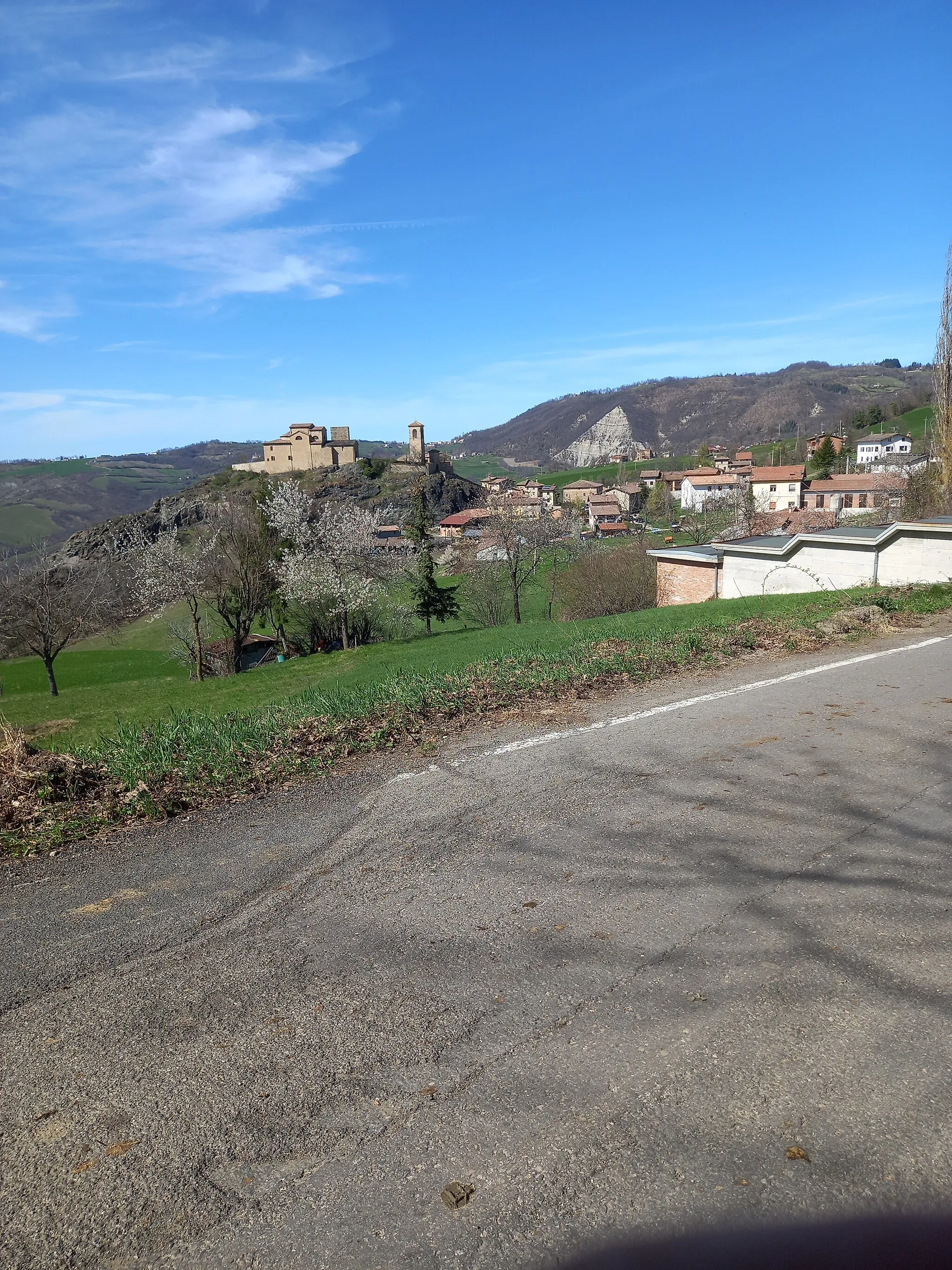
Start: Roteglia Village centerRoteglia: Picturesque town in Emilia-Romagna region of Italy, offering a mix of flat and hilly routes.
Roteglia is a town located in the Emilia-Romagna region of Italy. It offers a mix of flat and hilly routes, making it suitable for both leisurely rides and more challenging climbs. Cyclists can enjoy the beautiful countryside, with vineyards and olive groves lining the roads. The area is known for its culinary delights, with authentic Italian food and wine waiting to be savored after a long ride. One of the famous nearby climbs is Passo del Cerreto, which attracts many cyclists looking for a challenging ascent. Roteglia is a great locality for cycling enthusiasts looking for a combination of scenic beauty and gastronomic experiences.12 km
12 km
Monte Valestra935 mPeakMonte Valestra offers panoramic views of the surrounding valleys and mountains, making it a perfect spot to take a break and enjoy the scenery.
17 km
17 km
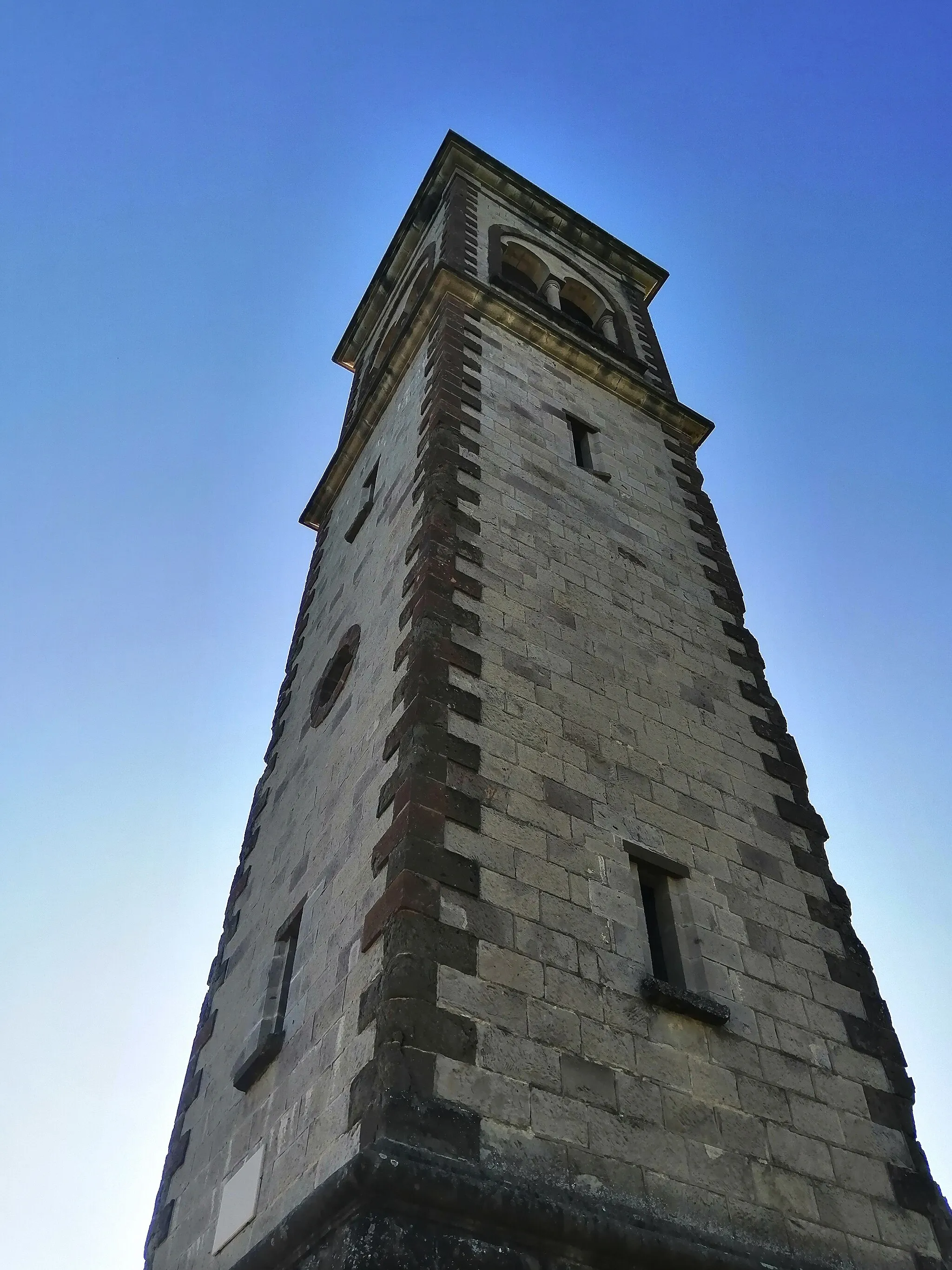
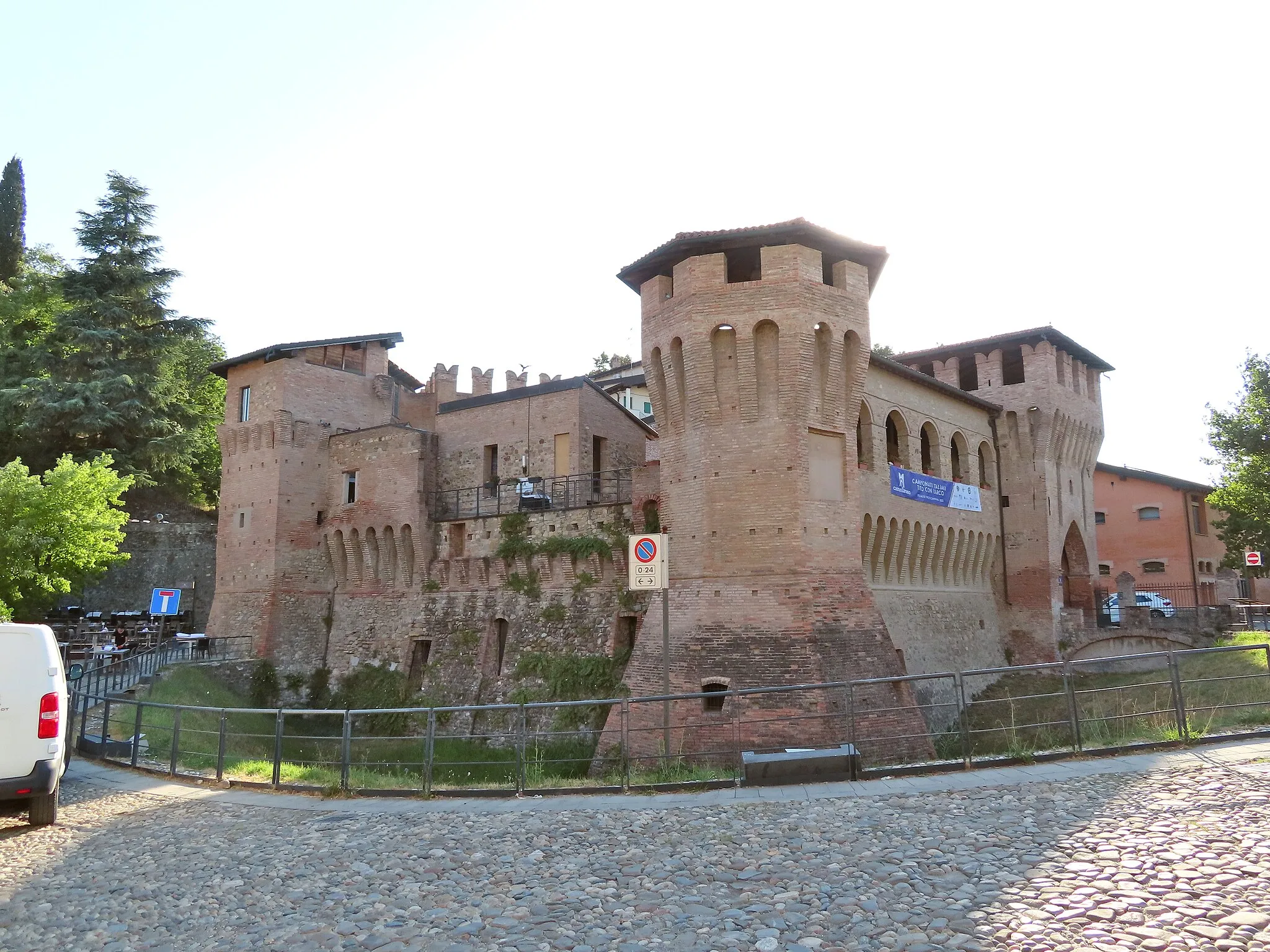
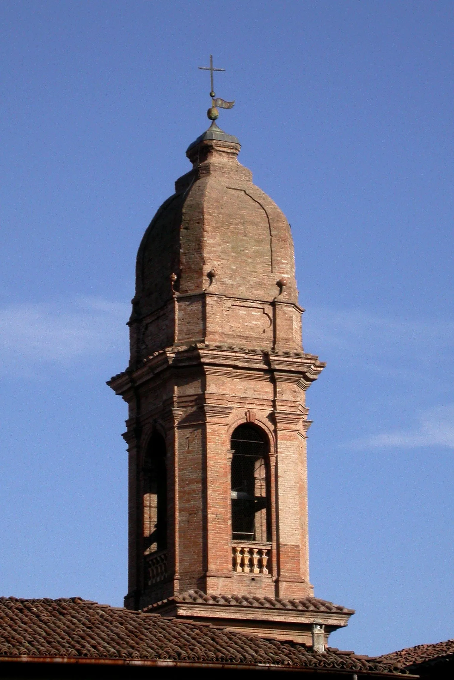
CarpinetiVillageCarpineti is a charming village known for its historical architecture and traditional cuisine, making it a great place to stop for a meal and soak in the local culture.
37 km
37 km
Monte Venere462 mPeakMonte Venere is a legendary climb with breathtaking views at the top. Be prepared for a challenging ascent, but the rewarding vistas make it worth the effort.
52 km
52 km
Poggio Tassinara607 mPeakPoggio Tassinara is a beautiful hill that offers a mix of both challenging climbs and fast descents. The winding roads and lush greenery make it a scenic highlight of this route.
57 km
57 km
BenaleHamletBenale is a small village located along the route that boasts a quaint historic center and friendly locals. Stop by the local cafe for a quick espresso before continuing your journey.
67 km
67 km
Monte Stadola467 mPeakMonte Stadola is a lesser-known climb, but it offers stunning panoramic views from the top. Take your time to enjoy the solitude and tranquility of this hidden gem.
71 km
71 km
Finish: Roteglia Village centerRoteglia: Picturesque town in Emilia-Romagna region of Italy, offering a mix of flat and hilly routes.
Cycling routes nearby: