Monte Vignola Challenge
A road cycling route starting from San Cesario sul Panaro
Conquer the challenging ascent to Monte Vignola on this road cycling adventure.
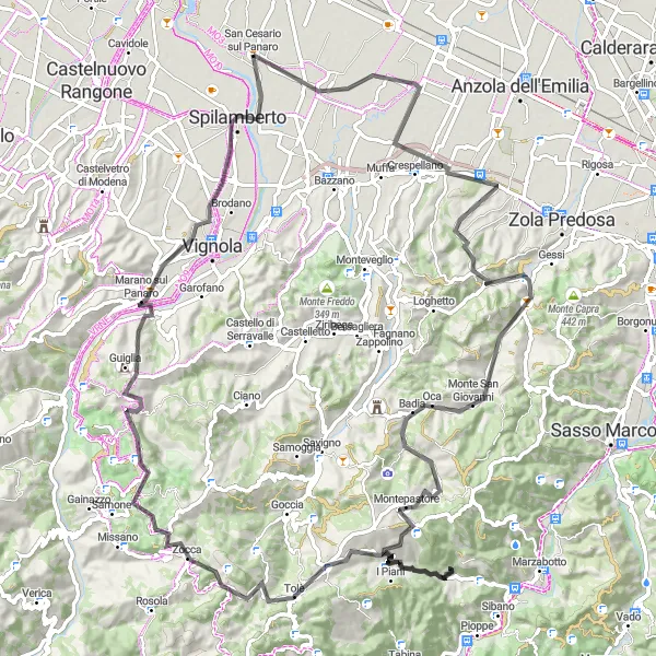
Map
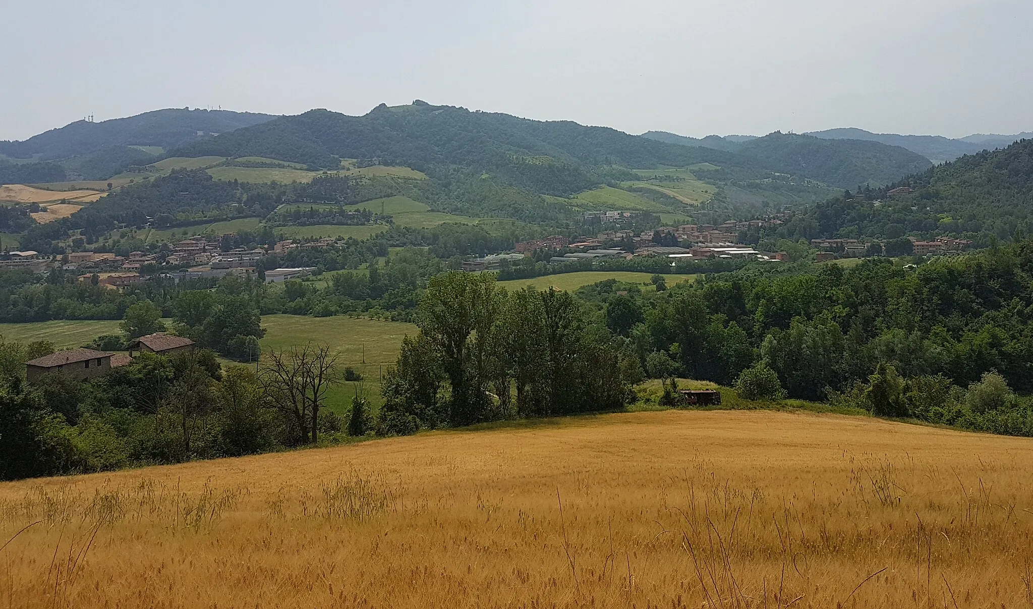
Embark on a challenging cycling journey through Emilia-Romagna's countryside and tackle the demanding ascent to the summit of Monte Vignola. This route offers a combination of scenic beauty, steep climbs, and thrilling descents, providing a memorable cycling experience for experienced riders.
road
108 km
1712 m
Savage
Route profile
Highlights on the route
0 km
0 km
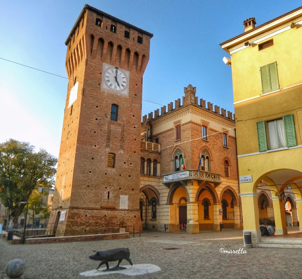
Start: San Cesario sul Panaro Village centerSan Cesario sul Panaro: Hidden gem with stunning climbs and picturesque countryside.
San Cesario sul Panaro, situated in Emilia-Romagna, Italy, is a hidden gem for cyclists. The locality features a combination of challenging climbs and scenic flats, making it suitable for both road and gravel cycling. Cyclists can enjoy riding through vineyards, rolling hills, and charming countryside. There are several well-known climbs nearby, such as Rocchetta di San Giovanni, which offer breathtaking views. San Cesario sul Panaro is also worth visiting for its cultural attractions and traditional gastronomy.9 km
9 km
CalcaraVillageCalcara, the starting point, is a picturesque village nestled in the hills and serves as an ideal base for this challenging route.
28 km
28 km
CalderinoVillageCalderino, located at 28 kilometers into the route, offers a charming oasis with scenic views, perfect for a refreshment stop.
40 km
40 km
San ChierloHamletSan Chierlo, at 40 kilometers into the route, is a quaint hilltop village that rewards cyclists with breathtaking panoramic vistas of the Emilia-Romagna region.
47 km
47 km
Monte Vignola816 mPeakMonte Vignola, at 47 kilometers into the route, is the ultimate challenge, providing a grueling but ultimately rewarding climb to the summit.
66 km
66 km
TolèVillageTolè, located at 66 kilometers into the route, boasts a picturesque town center and stunning views of the surrounding mountains.
71 km
71 km
Monte San Giacomo859 mPeakMonte San Giacomo, at 71 kilometers into the route, offers a challenging ascent and sublime views of the rolling countryside.
85 km
85 km
Monte Orsello527 mPeakMonte Orsello, at 85 kilometers into the route, provides a breathtaking perspective of Emilia-Romagna, with its rugged terrain and panoramic vistas.
93 km
93 km
Marano sul PanaroVillageMarano sul Panaro, at 93 kilometers into the route, invites cyclists to take a break and explore its historic sites, including the Church of San Biagio.
104 km
104 km
SpilambertoTownSpilamberto, located at 104 kilometers into the route, is a picturesque town renowned for its balsamic vinegar production and charming medieval center.
108 km
108 km
Finish: San Cesario sul Panaro Village centerSan Cesario sul Panaro: Hidden gem with stunning climbs and picturesque countryside.
Cycling routes nearby: