Anagni to Segni Road Cycling Route
A road cycling route starting from Anagni
Embark on a challenging road cycling route from Anagni to Segni.
Map
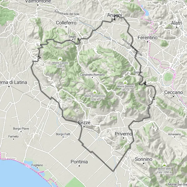
Get ready for a challenging adventure on this road cycling route from Anagni to Segni. Covering a distance of 146 kilometers and an ascent of 2014 meters, this route is recommended for experienced cyclists. Along the way, enjoy the highlights including Anagni, Supino, Colle della Torre, Prossedi, Roccasecca dei Volsci, Sezze Scalo, Sermoneta, Cori, Monte Calvello, Monte Grugliano, and Segni.
road
146 km
2014 m
Savage
Route profile
Highlights on the route
0 km
0 km
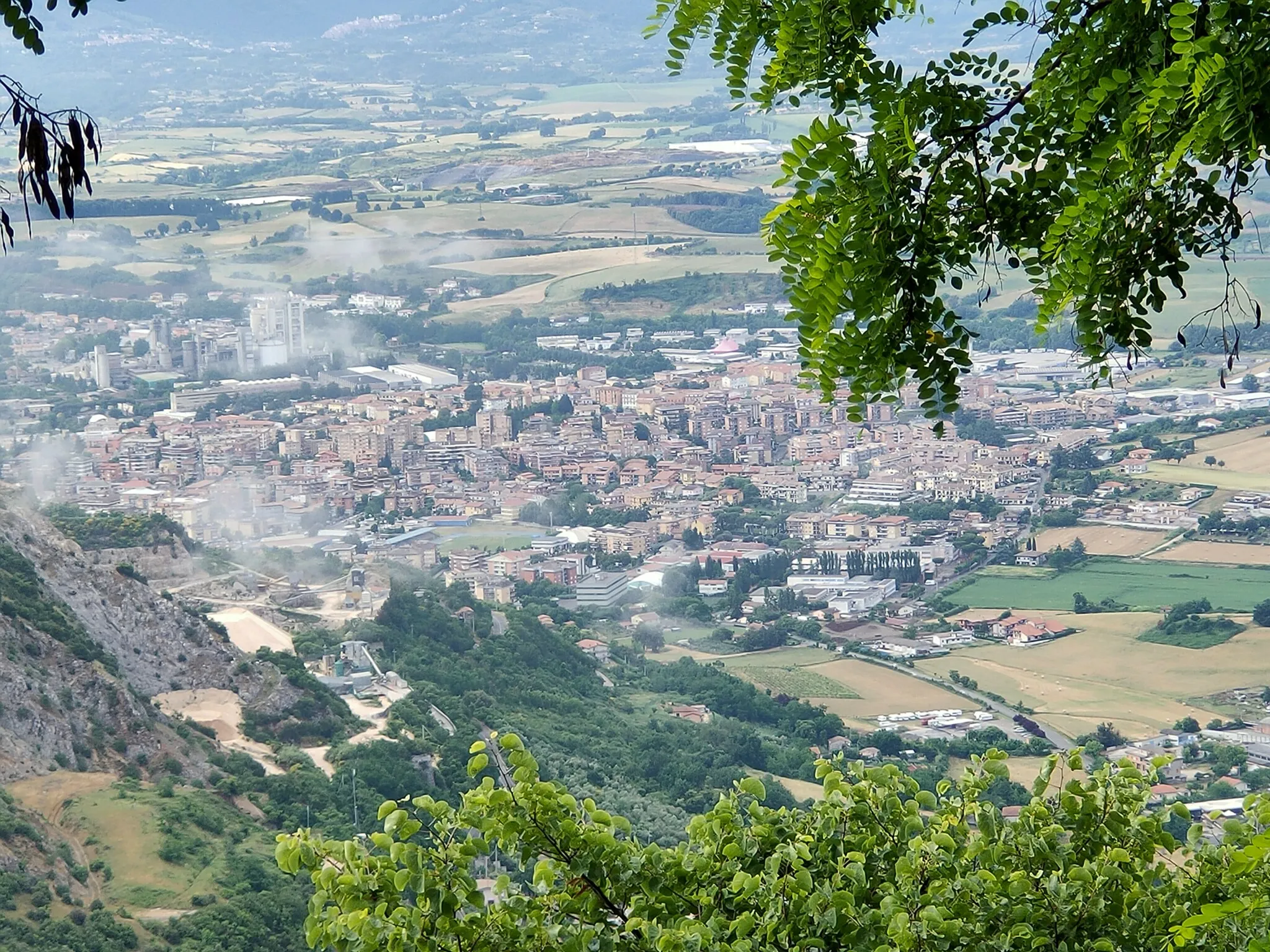
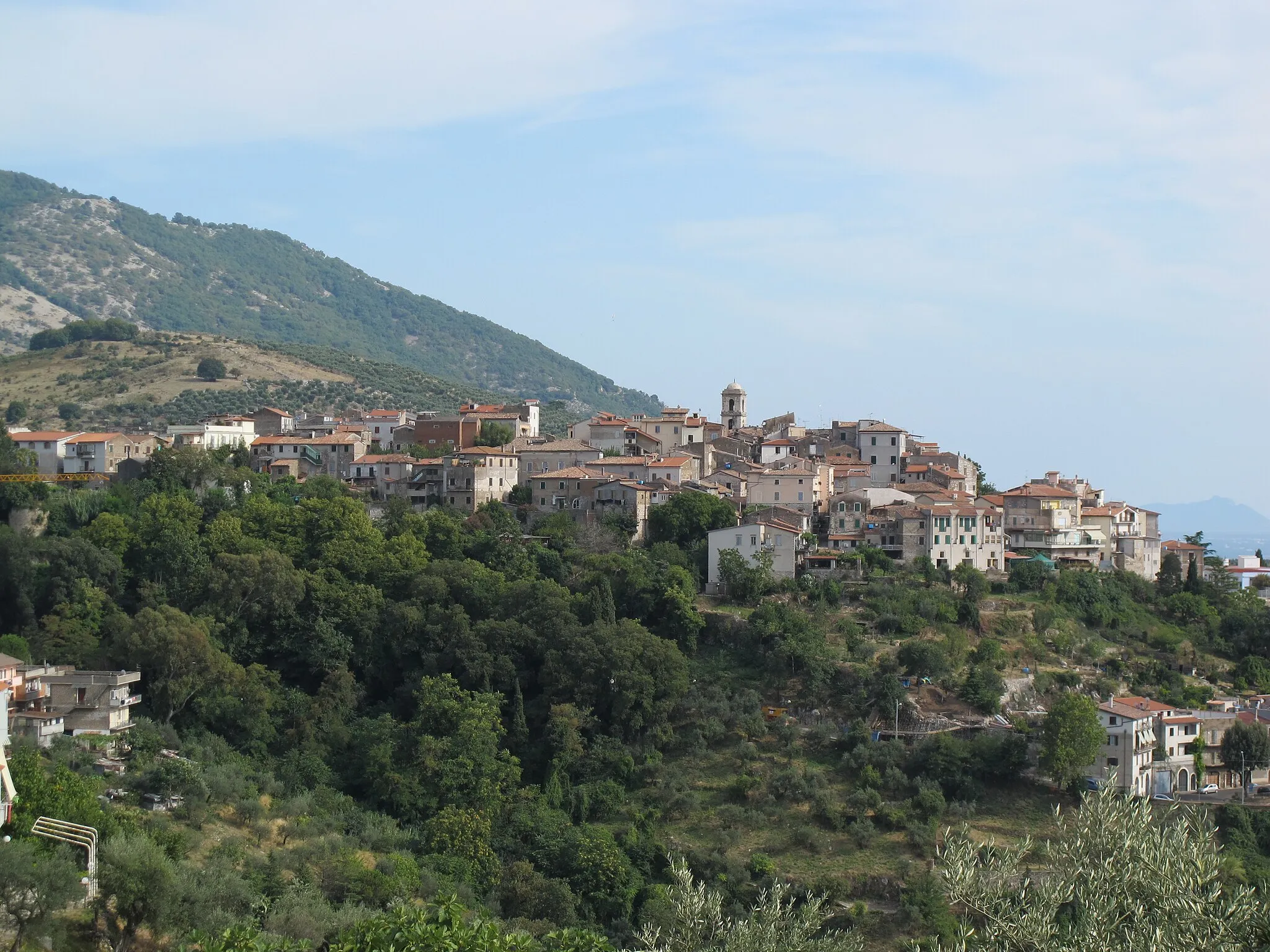
Start: Anagni City centerAnagni: Conquer the hills of Anagni on your bike.
Anagni is a historic locality in the Lazio region of Italy. From a cyclist's perspective, Anagni offers a mix of challenging climbs and scenic routes. The area is surrounded by the picturesque hills of Ciociaria, providing breathtaking views along the way. One well-known cycling spot nearby is the Madonna del Carmine climb, which presents cyclists with a demanding ascent. Cyclists visiting Anagni can also explore the medieval architecture and admire the town's rich history. Anagni ranks as a 4 in terms of cycling appeal.0 km
0 km
AnagniTownAnagni is a historic town known for its well-preserved medieval buildings and religious art.
21 km
21 km
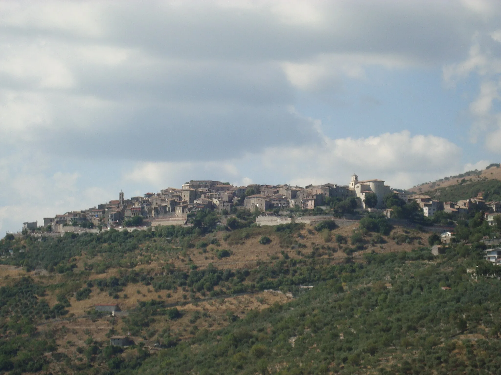
SupinoVillageSupino offers panoramic views of the surrounding valleys and countryside.
22 km
22 km
Colle della Torre518 mPeakColle della Torre is a challenging climb with stunning views from the top.
42 km
42 km
ProssediVillageIn Prossedi, visit the Church of San Nicolo and admire the beautiful frescoes.
52 km
52 km
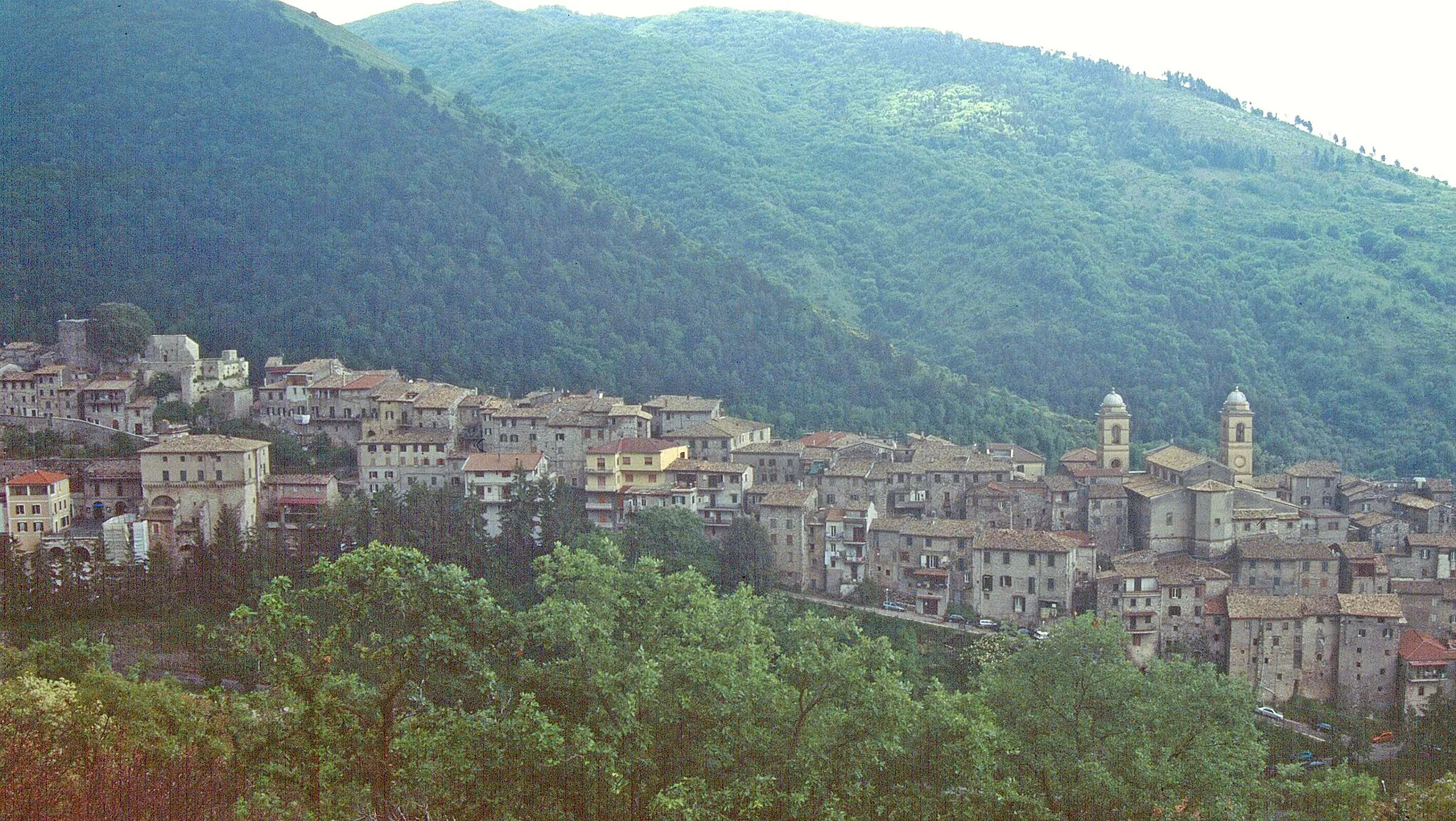
Roccasecca dei VolsciVillageRoccasecca dei Volsci is home to the impressive Caves of Pastena, featuring stalactites and stalagmites.
83 km
83 km
Sezze ScaloVillageSezze Scalo is a small town with a rich history and charming streets to explore.
91 km
91 km
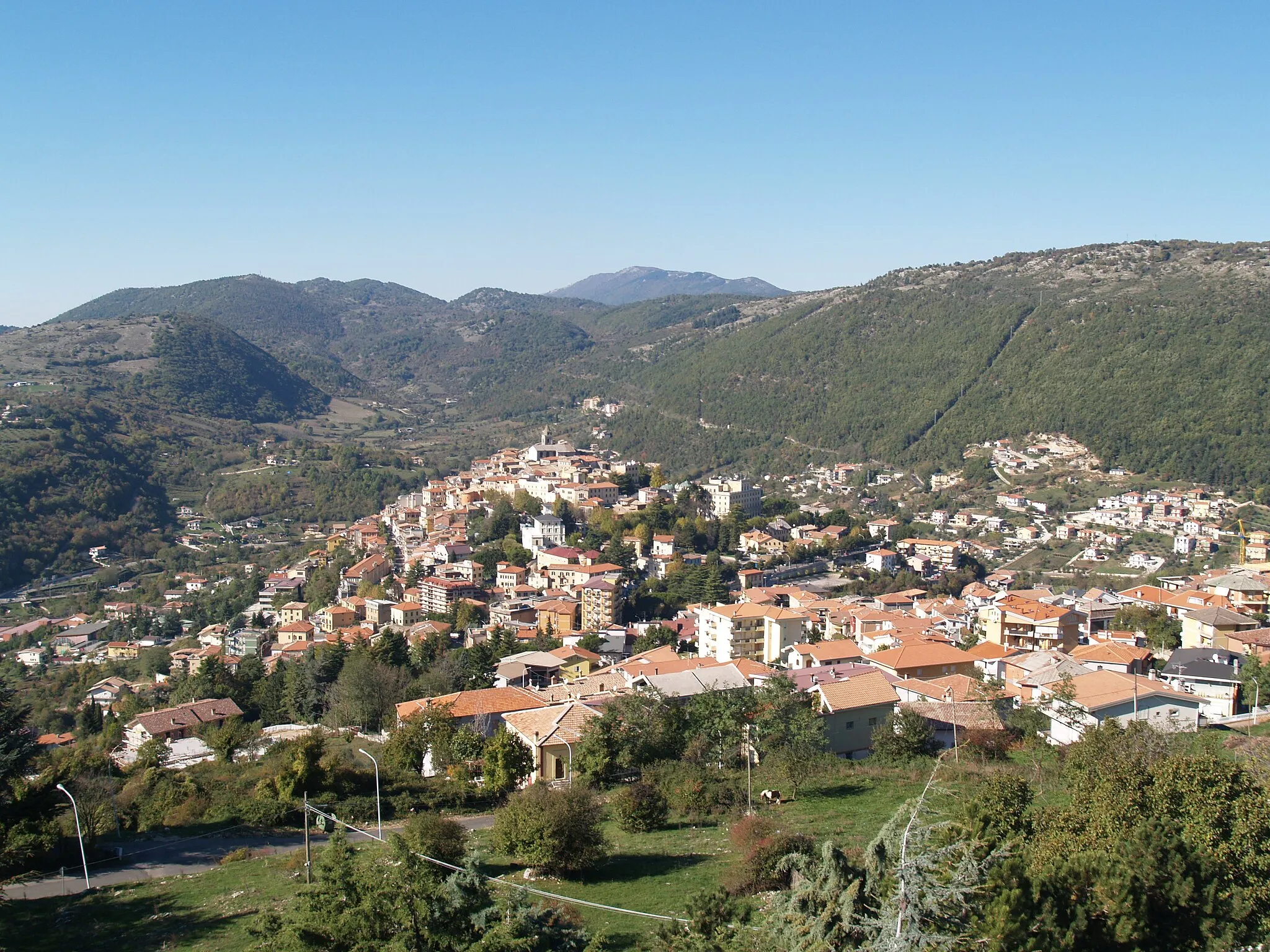
SermonetaVillageSermoneta is a medieval hilltop town known for its well-preserved castle.
108 km
108 km
CoriRuinsCori is known for its picturesque medieval center and ancient Roman ruins.
113 km
113 km
Monte Calvello598 mPeakMonte Calvello is a challenging climb with rewarding views of the surrounding countryside.
121 km
121 km
Monte Grugliano1003 mPeakMonte Grugliano offers breathtaking panoramic views of the Lazio countryside.
126 km
126 km
SegniVillageSegni is known for its ancient ruins, including the Roman Forum and the Temple of Fortuna.
146 km
146 km
Finish: Anagni City centerAnagni: Conquer the hills of Anagni on your bike.
Cycling routes from Anagni:
Scenic Tour of Castro dei Volsci Anagni and the Colle della Torre Villa Magna and Monte Camposano Anagni and the Montagnola Loop Anagni to Acuto Gravel Cycling Route Anagni to Morolo Road Cycling Route The Ultimate Challenge: Tagliacozzo and More Anagni to Colle della Torre Road Cycling Route Anagni to Segni Road Cycling Route The Anagni, Colleferro, Valmontone Circuit
Cycling routes nearby: